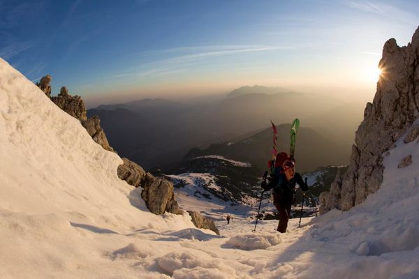
© Allgäu GmbH, Gesellschaft für Standort und Tourismus - Thomas Hafenmair
Tourdaten
18,85km
970
- 2.066m
1.163hm
1.174hm
04:38h

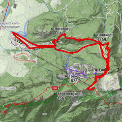
- Wegverlauf
-
Lösertaljoch (1.682 m)6,2 kmBeinlandl (1.694 m)6,9 kmHochplatte (2.082 m)9,4 kmBeinlandl (1.694 m)11,9 kmLösertaljoch (1.682 m)12,7 km
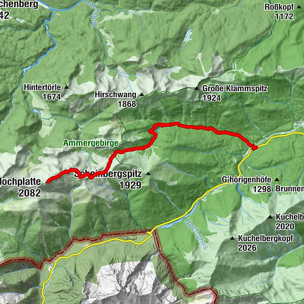
- Höchster Punkt
- 2.066 m
- Höhenprofil
-
 © outdooractive.com
-

-
AutorDie Tour Hochplatte Ammergauer Alpen wird von outdooractive.com bereitgestellt.
GPS Downloads


Weitere Touren in den Regionen