


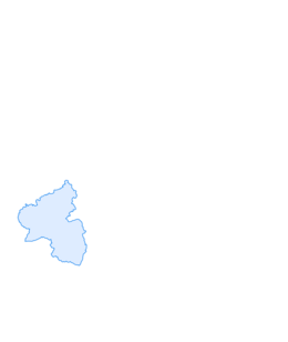

Around the Hunsrück-Nahe Region
Fotos unserer User
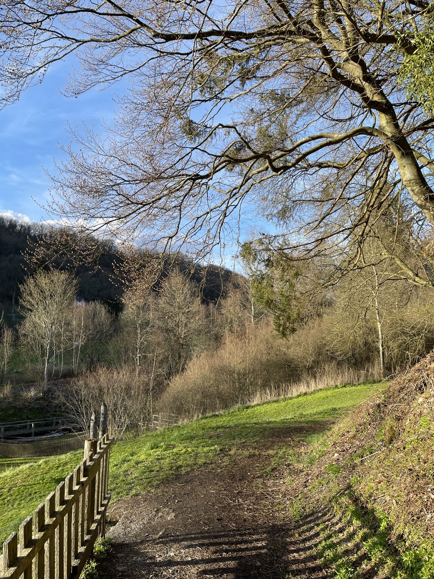
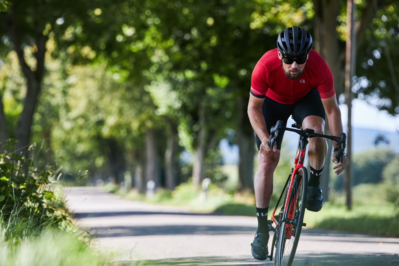
 © Patrik TrosdorffErstellt am 14.04.2023
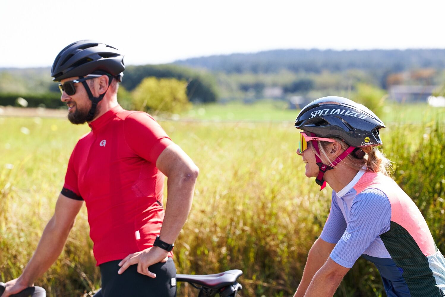
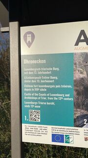 © Patrik TrosdorffErstellt am 14.04.2023
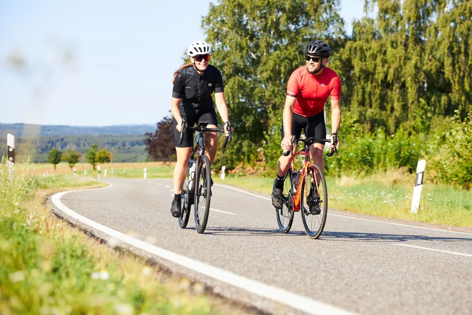
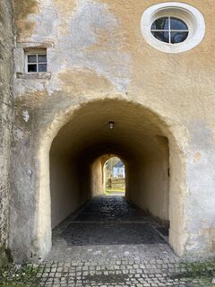 © Patrik TrosdorffErstellt am 14.04.2023
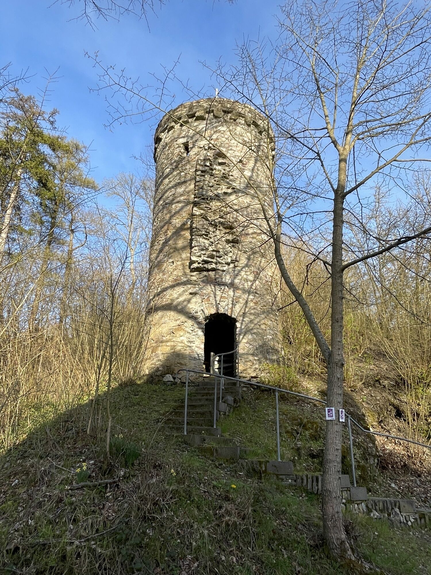
 © Patrik TrosdorffErstellt am 14.04.2023
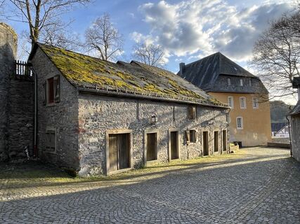 © Patrik TrosdorffErstellt am 14.04.2023
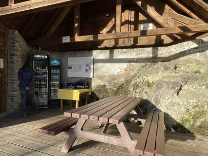 © Patrik TrosdorffErstellt am 14.04.2023
 © Patrik TrosdorffErstellt am 14.04.2023
 © Patrik TrosdorffErstellt am 14.04.2023
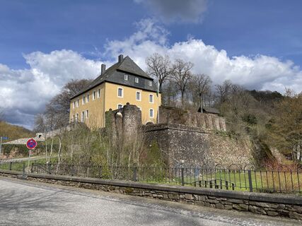 © Patrik TrosdorffErstellt am 14.04.2023


Through the hilly Hunsrück-Hochwald National Park region, via the Hochwald-Alm, past the Nonnweiler reservoir and the Bostalsee lake, the route leads to the Nahe and from there on to the Glan. Always along...
Through the hilly Hunsrück-Hochwald National Park region, via the Hochwald-Alm, past the Nonnweiler reservoir and the Bostalsee lake, the route leads to the Nahe and from there on to the Glan. Always along the river, the route leads via Meisenheim back to the Nahe and from there on to Bad Kreuznach. From there, it's time to gain altitude again and pedal through the Soonwald back to the Hunsrück. The route undulates via Kastellaun, Kirchberg, Sohren and Morbach back to the National Park region.
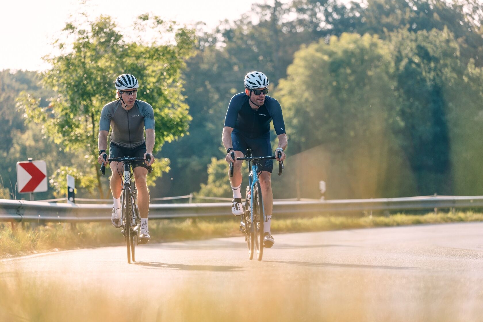
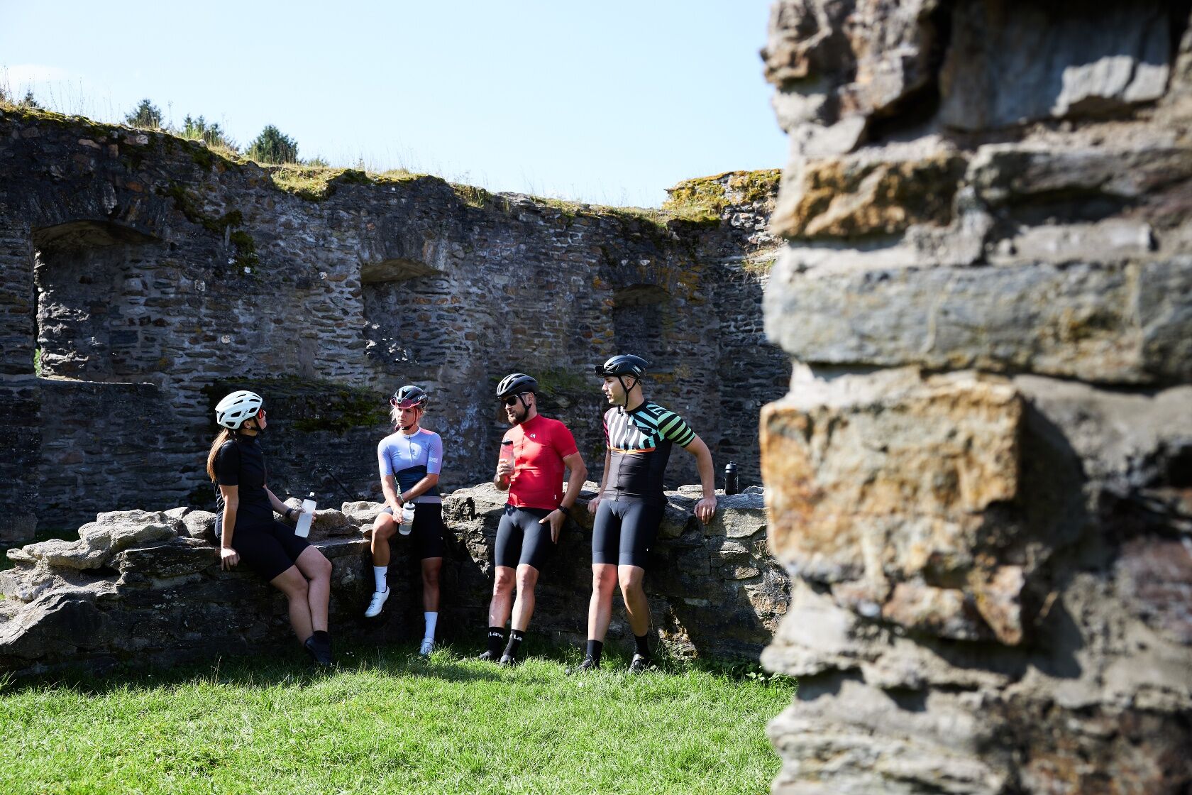
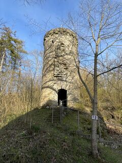
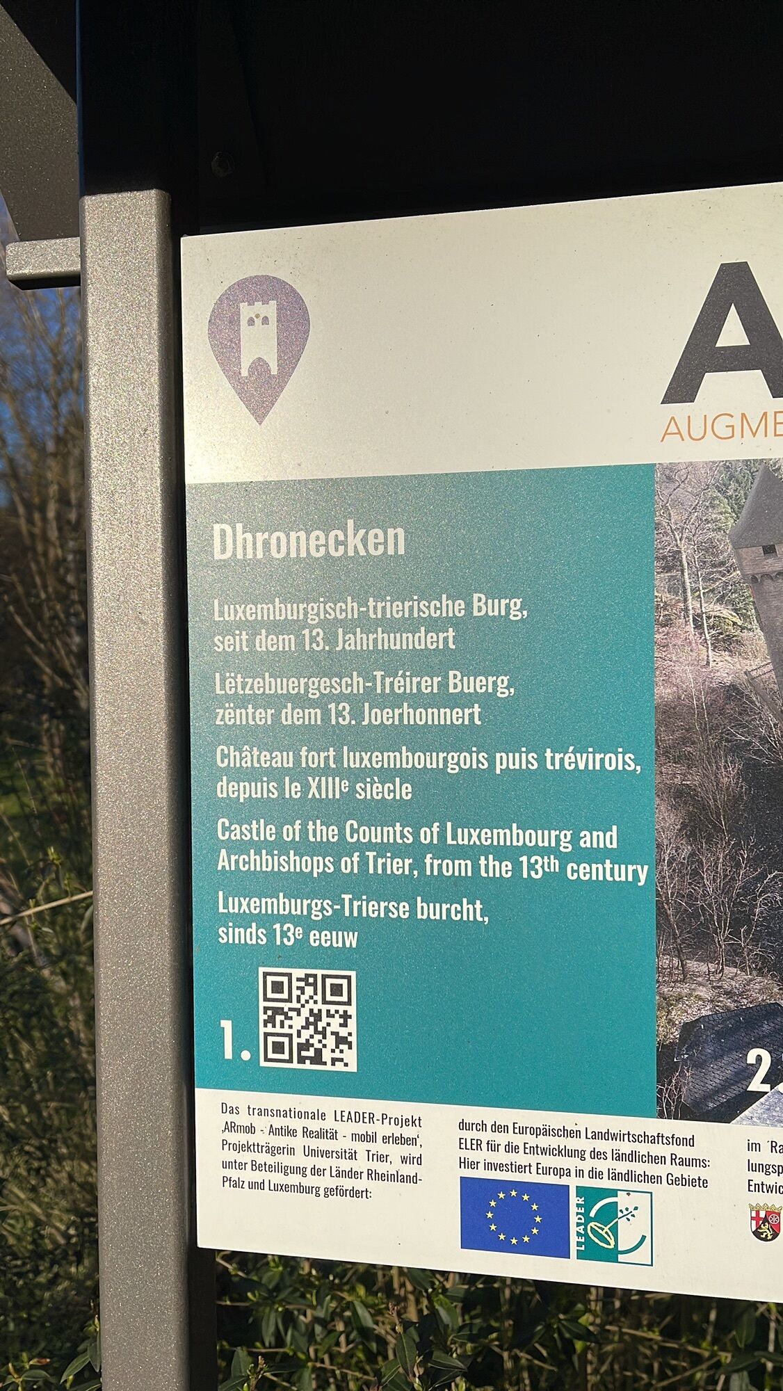
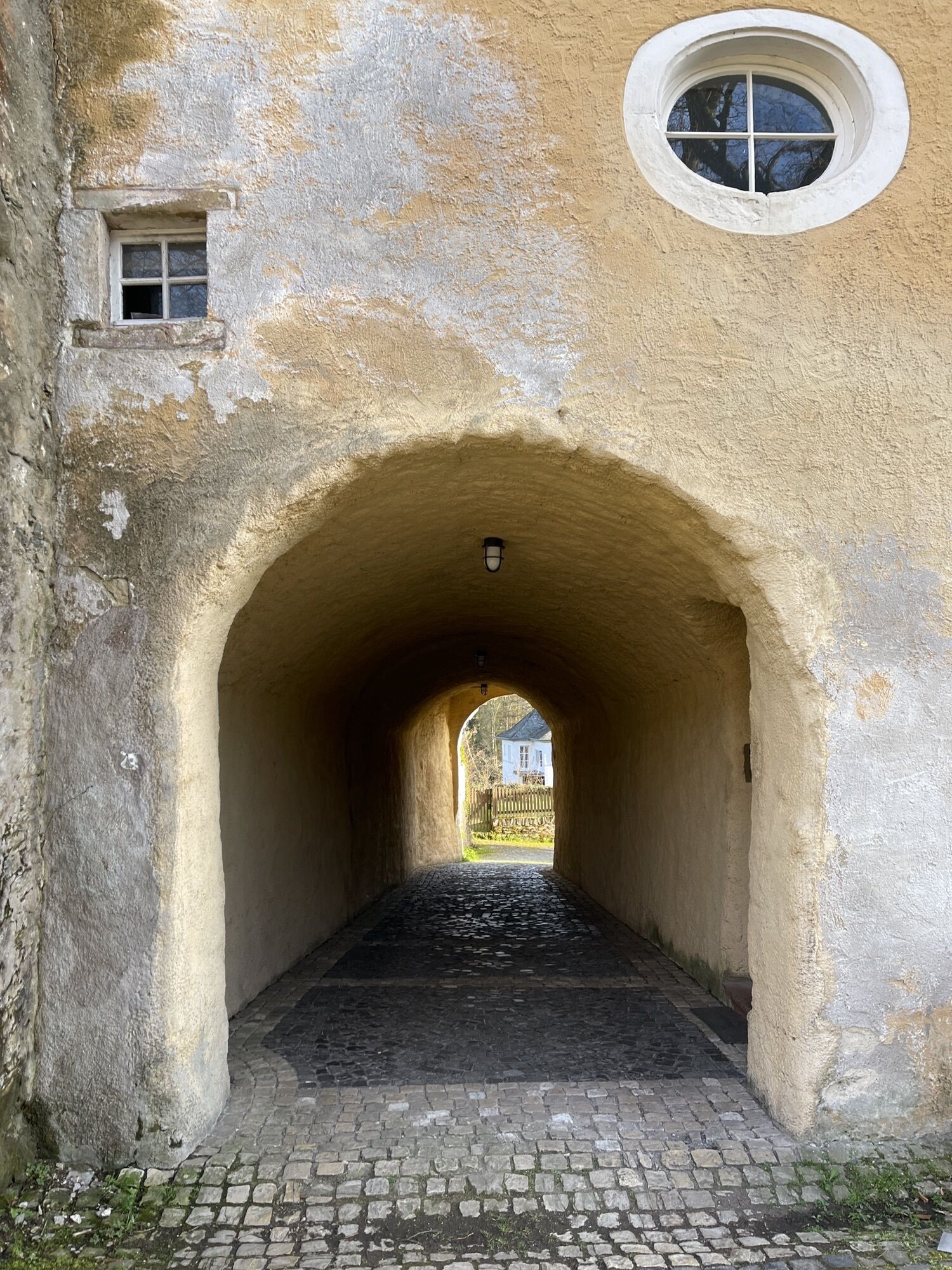
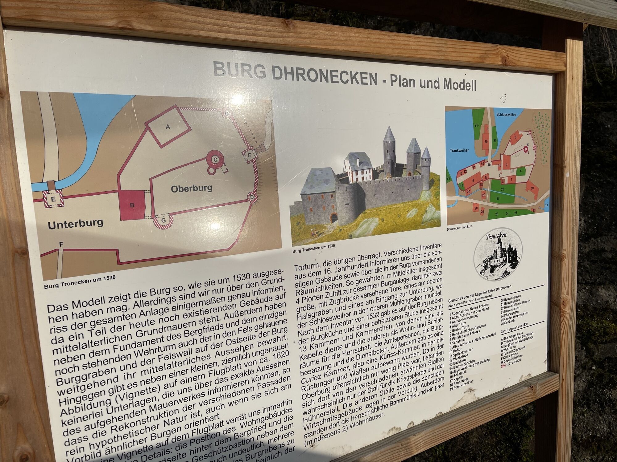
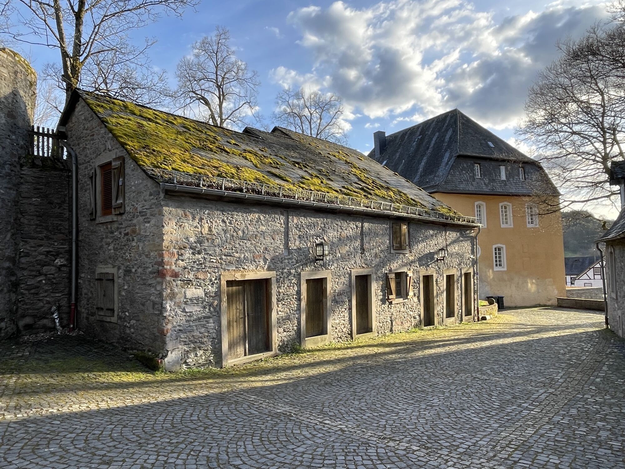
The starting point for this tour can be chosen freely. By public transport, for example, the tour can be reached via the railway stations in Nonnweiler, Neubrücke, Birkenfeld and Bad Kreuznach. Through the National Park region, the route is hilly via Morbach, Deuselbach and Thalfang below the Erbeskopf mountain and continues with panoramic views via Dhronecken and Reinsfeld to Kell am See. From there, the route continues in a steady up and down via the Hochwald Alm to the Nonnweiler reservoir and the Bostalsee. Via Birkenfeld and Baumholder you finally reach the Glan, where the Glan-Blies cycle path is somewhat flatter via lauterecken and Meisenheim to Odernheim am Glan. From here you reach the Nahe and Bad Kreuznach. A short time later, the climb through the Soonwald into the Hunsrück begins. Via the towns of Pfalzfeld, Kastellaun, Kirchberg, Sohren, Hochscheid,ederath and Hinzerath, the way back is undulating via Morbach.
HelmetMobile phone with full batteryCash, ID cardNavigation device, mapsAir pump / compressed air cartridgeSpare inner tubeSufficient beveragesEnergy bar / gelWind / rain jacket
Observe the traffic rules, pay attention to other road users and drive at an appropriate speed, especially in the exits. Be considerate of other cyclists and pedestrians.
By car, the starting point can be reached from the north via the A61 exit Rheinböllen and from the south via the A1 exit Reinsfeld or via the A62 exit Birkenfeld. Coming from the northwest, you can reach the region via the E42.
The tour can be reached by public transport, for example, via the railway stations in Nonnweiler, Neubrücke, Birkenfeld and Bad Kreuznach.
Free parking at the sports centre in Morbach
The tour can be divided into several stages.
Beliebte Touren in der Nähe
- 4,6
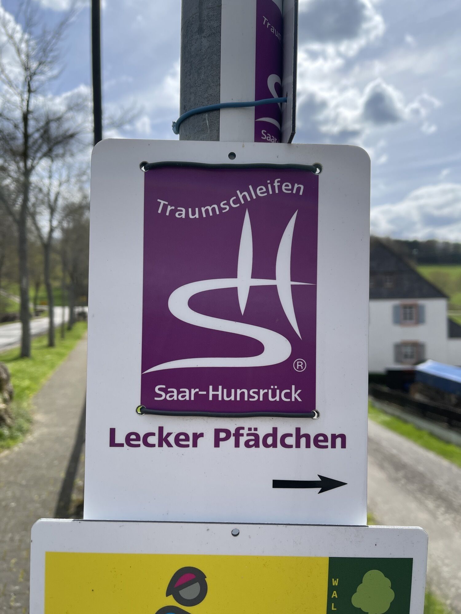
Traumschleife "Köhlerpfad am Steinbach"
mittelWanderung 13,4 km - 4,3
Traumschleife "Mittelalterpfad"
mittelWanderung 8,46 km - 5,0
Nationalpark-Traumschleife "Kirschweiler Festung"
mittelWanderung 9,08 km - 4,0
Traumschleife "Nahe-Felsen-Weg"
schwerWanderung 8,98 km - 4,5
Traumschleife "Rund um die Kama"
leichtWanderung 6,18 km - 2,5
Traumschleife "Zwischen den Wäldern"
mittelWanderung 10,7 km Traumschleife "Edelsteinschleiferweg"
mittelWanderung 16,0 km- 4,0
Traumschleife "STUMM-Eisenhütten-Weg"
mittelWanderung 15,5 km Traumschleife "STUMM-Orgel-Weg"
mittelWanderung 13,8 km- 4,3
Kirn - Kallenfels - Oberhausen bei Kirn
mittelWanderung 13,7 km

Wandern & Tracking


Verpasse keine Angebote und Inspirationen für deinen nächsten Urlaub
Deine E-Mail-Adresse wurde in den Verteiler eingetragen.