







Kaiser view circular walk

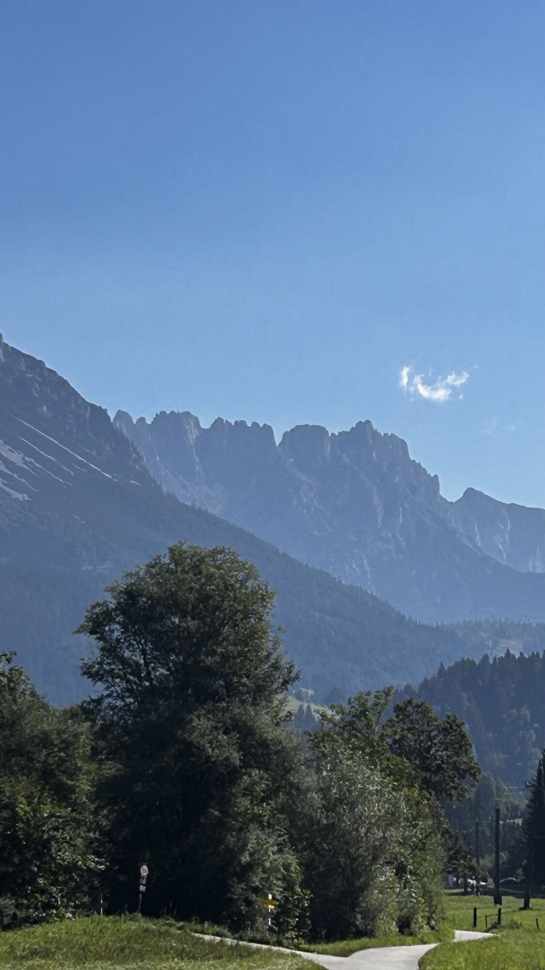
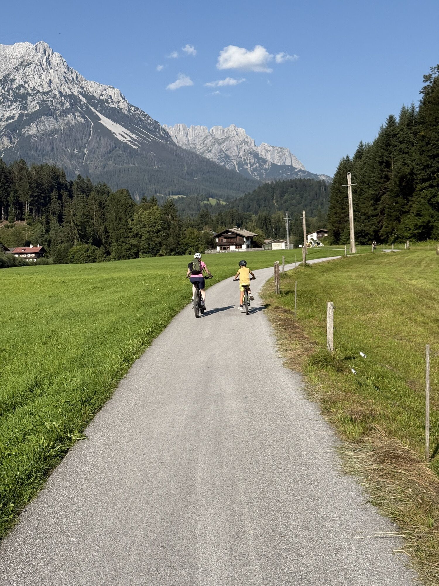
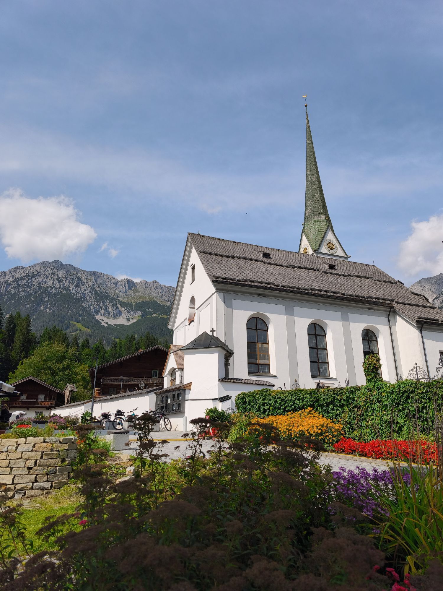
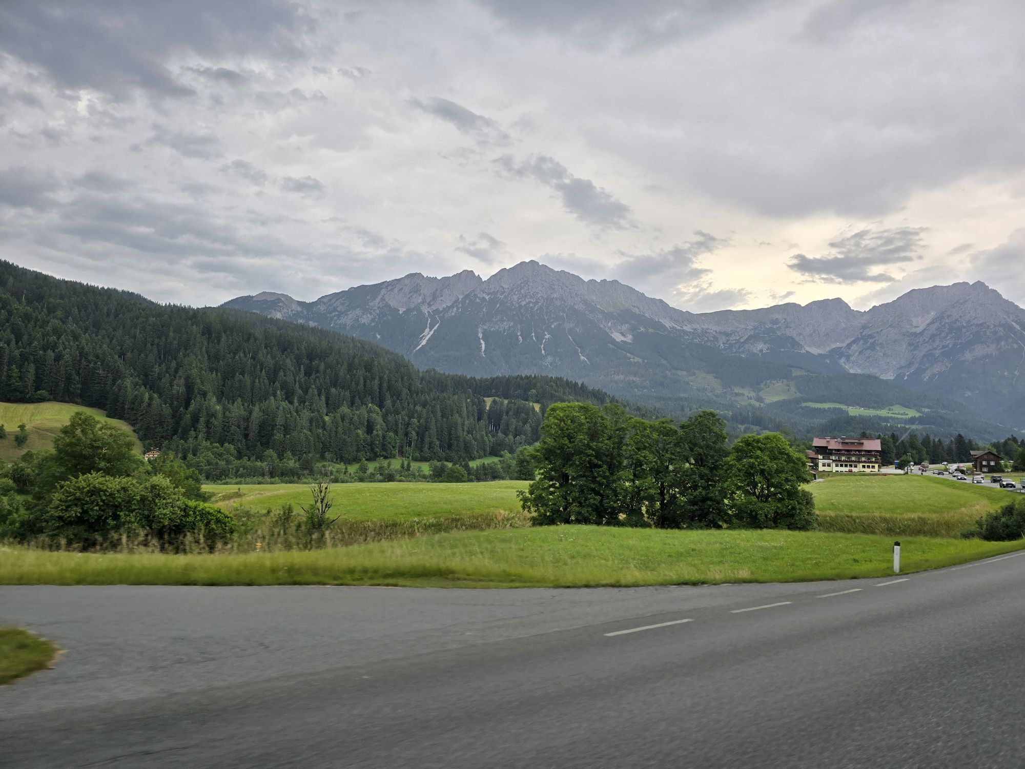
Starting from the village center, you start on the cleared road through the district of Sonnwies with its typical Tyrolean farms towards Söll and between Seebach and Weißache to Bocking.
You can dine there...
Starting from the village center, you start on the cleared road through the district of Sonnwies with its typical Tyrolean farms towards Söll and between Seebach and Weißache to Bocking.
You can dine there at the Gasthaus Bocking of the same name. Then continue towards Söll through the Hauning district, where you turn left at Haus Bichler back to Scheffau.
You get back to the starting point of Scheffau via the districts of Bärbichl and Blaiken. On the way you are always rewarded with a wonderful view of the imposing Wilder Kaiser and the surrounding mountains.
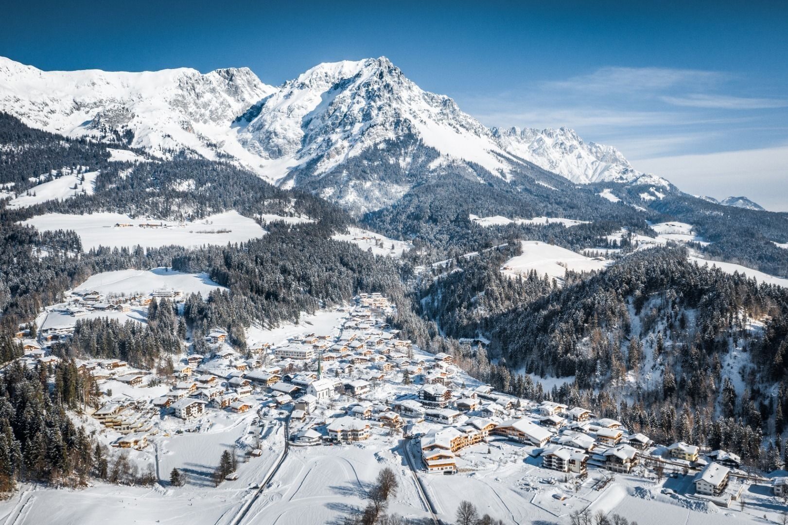
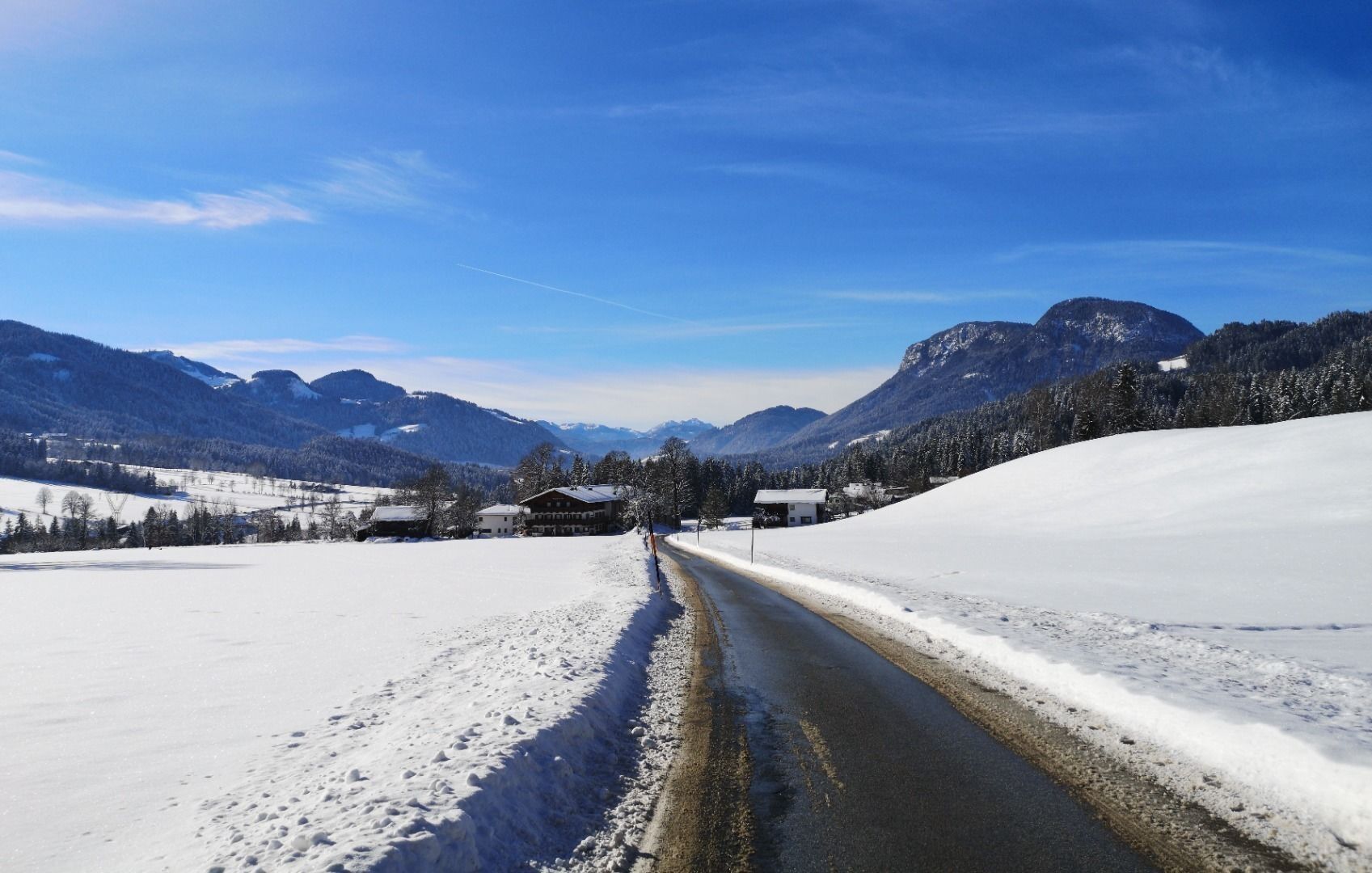
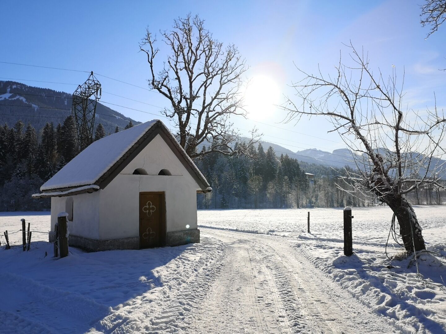
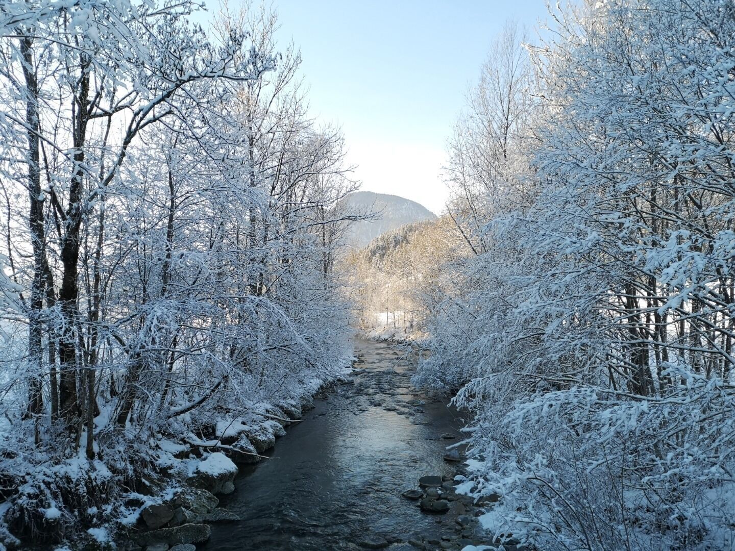
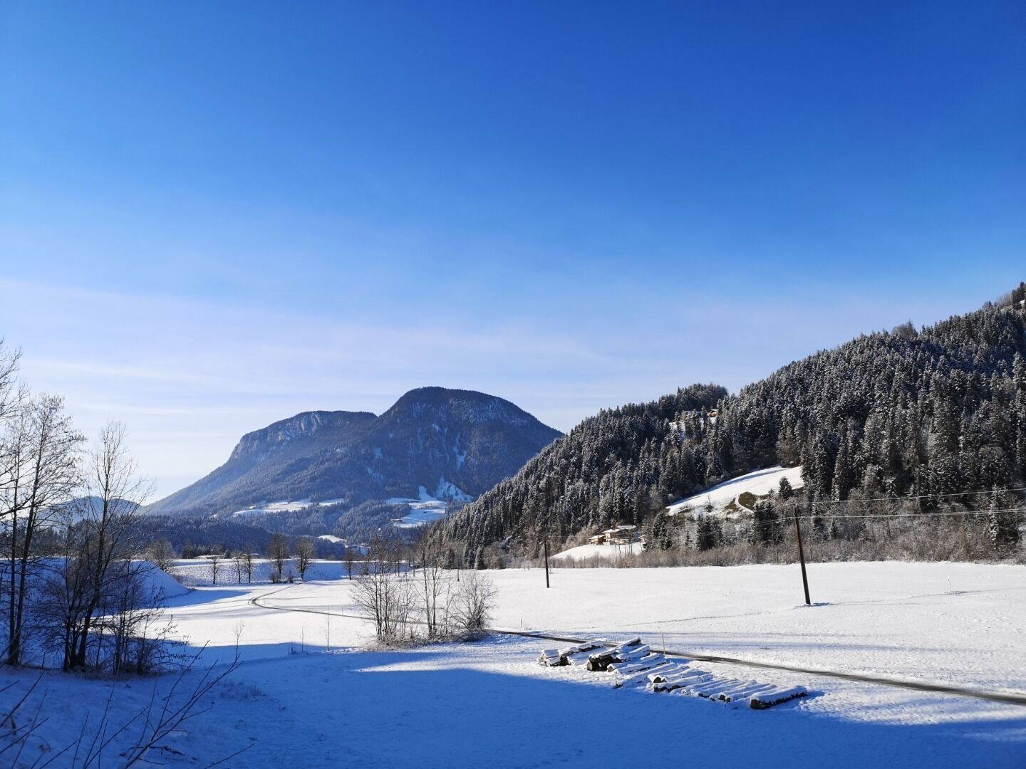
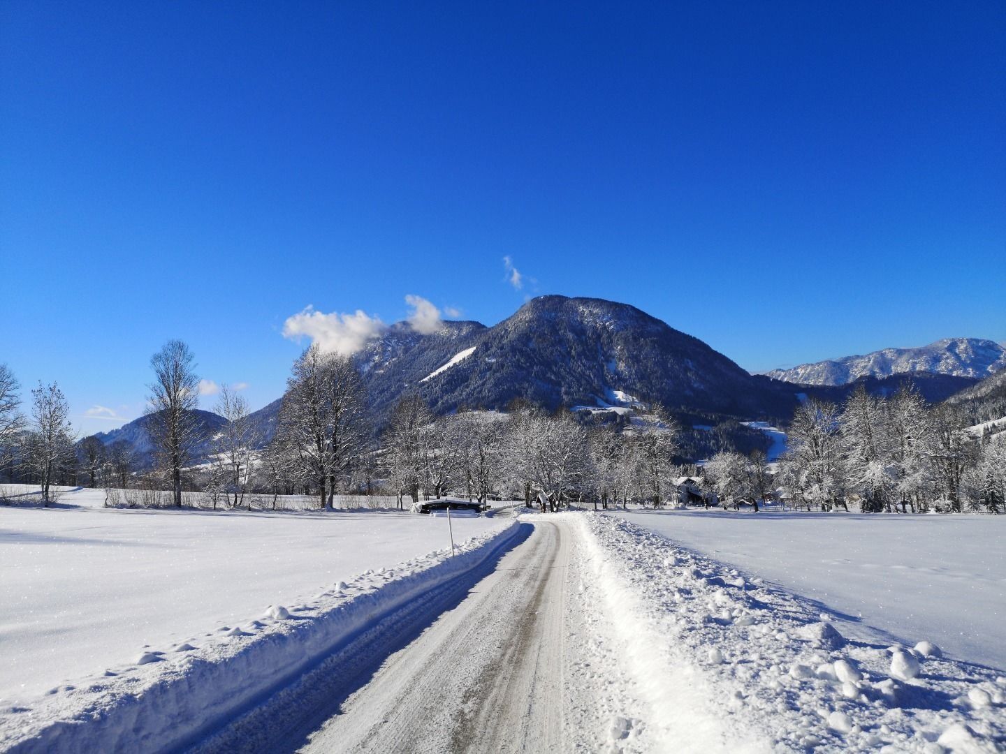
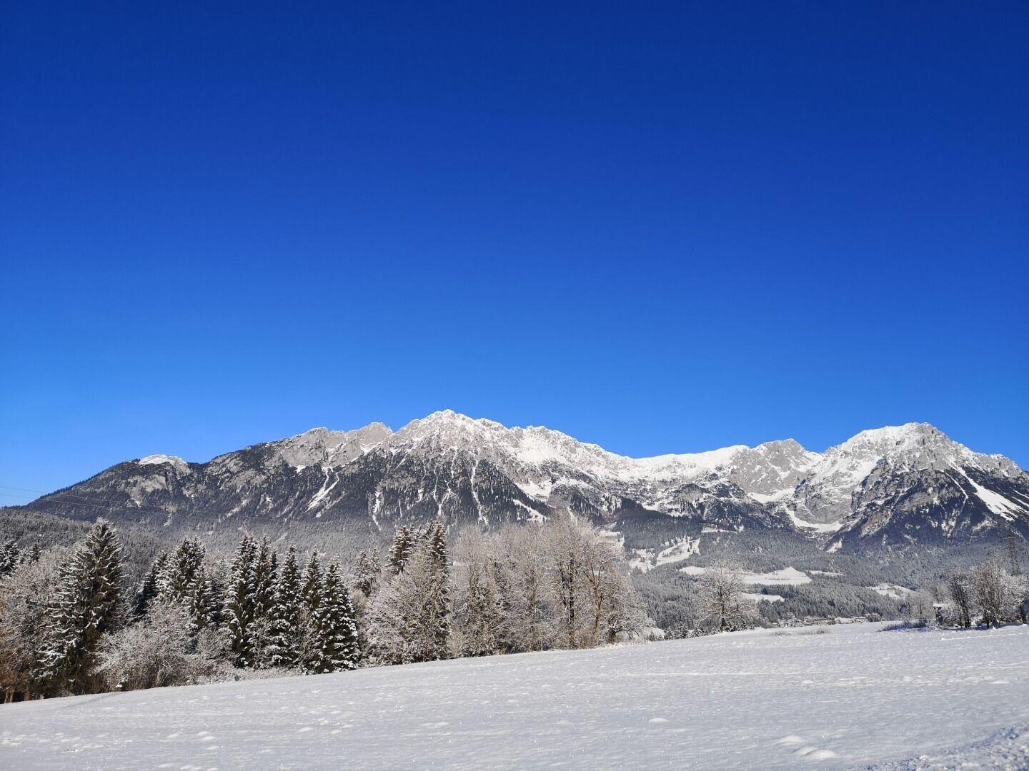
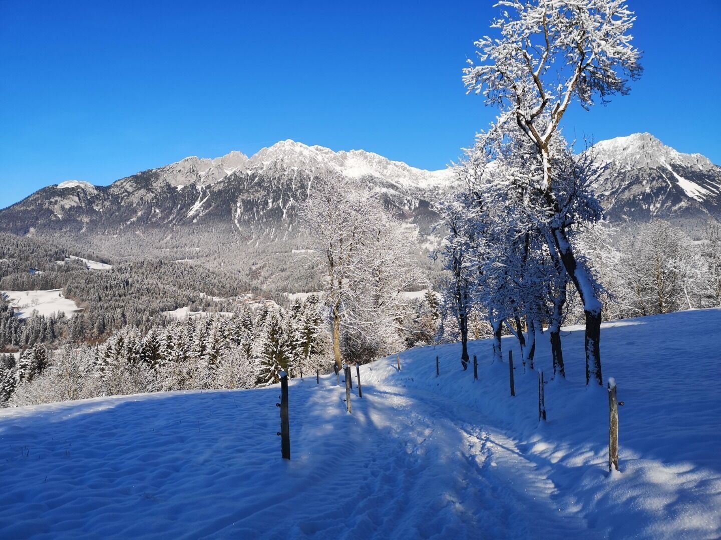
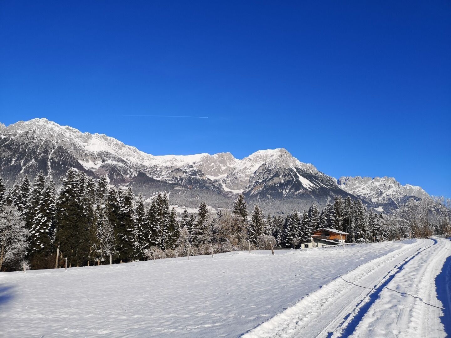
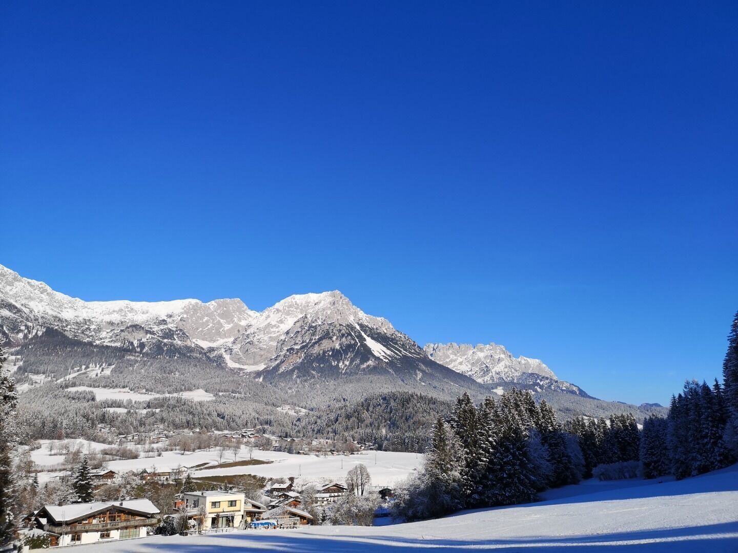

You can call in at the Gasthaus Bocking inn for something to eat, where the food’s good and very reasonably priced. You then follow the signs to Söll, turn left at the Pension Bichler guesthouse and carry on through the district of Bärbichl to Blaiken and back to Scheffau. As you walk you’re constantly rewarded with wonderful views of the ski slopes and the imposing Wilder Kaiser.
Wilder Kaiser hiking map (1:25.000) available in the tourist information centres Ellmau, Going, Scheffau and Söll
Sturdy high mountaineering boots with anti-slip treaded soles (waterproof), weather-appropriate outdoor gear, sun protection, waterproofs, cold protection (hat, gloves), sufficient food and hot drinks, hiking poles (height adjustable) if required, mobile phone, plastic bag for waste, hiking map, route description and information materials (GPX track), ID card, cash
Heading from Wörgl, Kufstein or St. Johann on the B178 road, take the exit to Scheffau. Shortly before you come to the church, you will see the Tourist Info and the hiking starting point on the left-hand side (short-stay parking zone).
Public car park, Scheffau (740 m), north of the Community Hall - free
Webcams der Tour

Beliebte Touren in der Nähe
- 4,9
Kirchdorf: Kaiserbachtal - Stripsenkopf und Feldberg
schwerWanderung 12,6 km - 4,9
Schleierwasserfall Runde
mittelWanderung 5,63 km - 4,8
Gruttenhütte über Klammlweg
mittelWanderung 5,61 km - 4,9
Route 209: Brechhornhaus-Choralpe
schwerMountainbike 24,4 km - 5,0
Kirchdorf: Stripsenjoch Klettersteige
schwerKlettersteig 3,76 km - 4,8
Ellmauer Tor (22.07.2020)
mittelWanderung 9,32 km - 4,8
Stripsenjoch Klettersteige/ Rundwanderung von Griesener Alm über Stripsenjochhaus und Feldberg
mittelKlettersteig 10,2 km - 4,8
Streif Wanderweg
mittelWanderung 5,73 km - 4,2
Panoramarundweg am Hahnenkamm
leichtWanderung 3,02 km - 4,7
Musikantensteig zur Naunspitze
mittelWanderung 8,96 km
Wandern & Tracking


Verpasse keine Angebote und Inspirationen für deinen nächsten Urlaub
Deine E-Mail-Adresse wurde in den Verteiler eingetragen.





