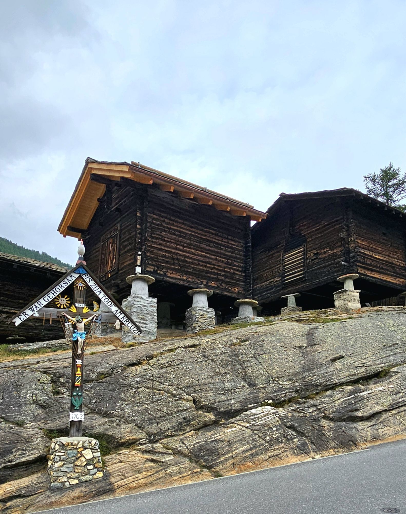
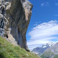
Ibex Trail and ascent to the Mällig
Wanderung
Hol diese Tour auf dein Handy
Ibex Trail and ascent to the Mällig
Wanderung
10,29
km
QR-Code scannen und Navigation in der bergfex App beginnen

Wandern & Tracking


Ibex Trail and ascent to the Mällig
Wanderung
Distanz
10,29
km
Dauer
-
h
Aufstieg
513
hm
Seehöhe
1.802 -
2.756
m
Track-Download
Ibex Trail and ascent to the Mällig
Wanderung
10,29
km
Noch keine Bewertungen
Beliebte Touren in der Nähe
-
4,9
Allalinhorn vom Mittelallalin über Normalweg
mittelHochtour 6,15 km -
3,3
Europaweg Grächen - Europahütte - Zermatt
schwerWanderung 39,9 km -
3,6
Höhenweg Kreuzboden - Almagelleralp - Saas-Almagell
Wanderung 9,74 km -
3,5
Waldweg Saas-Fee - Saas-Almagell
Wanderung 2,83 km -
3,8
Höhenweg Saas-Fee - Grächen
Wanderung 12,0 km -
5,0
Weissmies Südgrat von Saas Almagell
mittelHochtour 20,5 km -
5,0
Murmeltier Bergweg Spielboden
mittelWanderung 3,89 km -
5,0
Klettersteig Jägihorn
schwerKlettersteig 6,14 km -
3,5
Saas-Fee - Gemsweg - Hannig - Plattjen
Wanderung 6,89 km -
3,0
Mattmark - Monte Moro - Macugnaga
Wanderung 10,6 km
Wandern & Tracking

Über 550.000 Tourenvorschläge, detailliertes Kartenmaterial und ein intuitiver Routenplaner machen die App zum Must-have für alle Naturbegeisterten.

Verpasse keine Angebote und Inspirationen für deinen nächsten Urlaub
Zum Newsletter anmelden
Fehler
Ein Fehler ist aufgetreten. Bitte versuche es erneut.
Vielen Dank für deine Anmeldung
Deine E-Mail-Adresse wurde in den Verteiler eingetragen.
Touren in ganz Europa
Österreich
Schweiz
Deutschland
Italien
Slowenien
Frankreich
Niederlande
Belgien
Polen
Liechtenstein
Tschechien
Slowakei
Spanien
Kroatien
Bosnien und Herzegowina
Luxemburg
Andorra
Portugal
Island
Vereinigtes Königreich
Irland
Griechenland
Albanien
Nordmazedonien
Malta
Norwegen
Montenegro
Moldau
Kosovo
Ungarn
San Marino
Rumänien
Estland
Lettland
Belarus
Zypern
Litauen
Serbien
Bulgarien
Monaco
Dänemark
Schweden
Finnland