





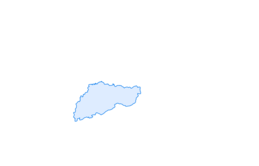

Bödeli Route
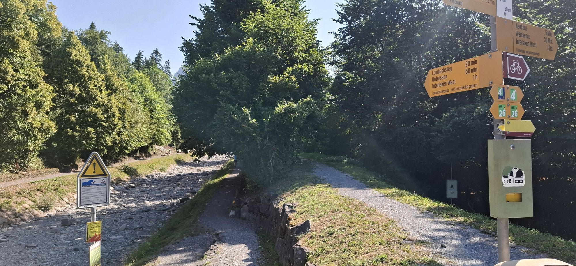
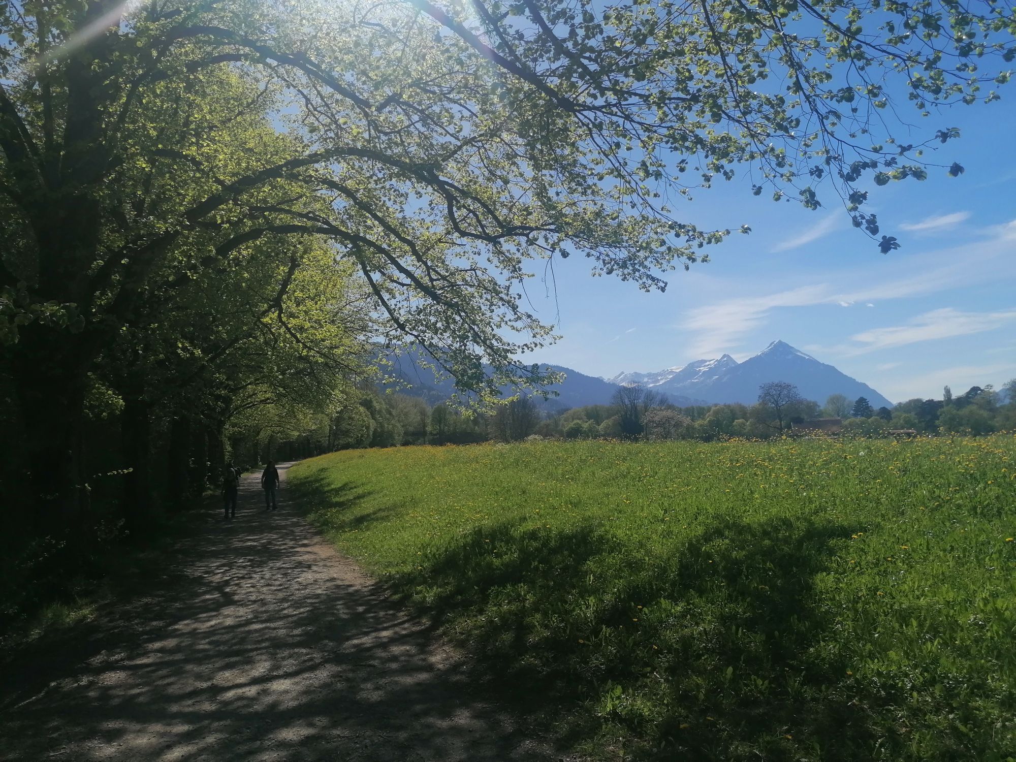
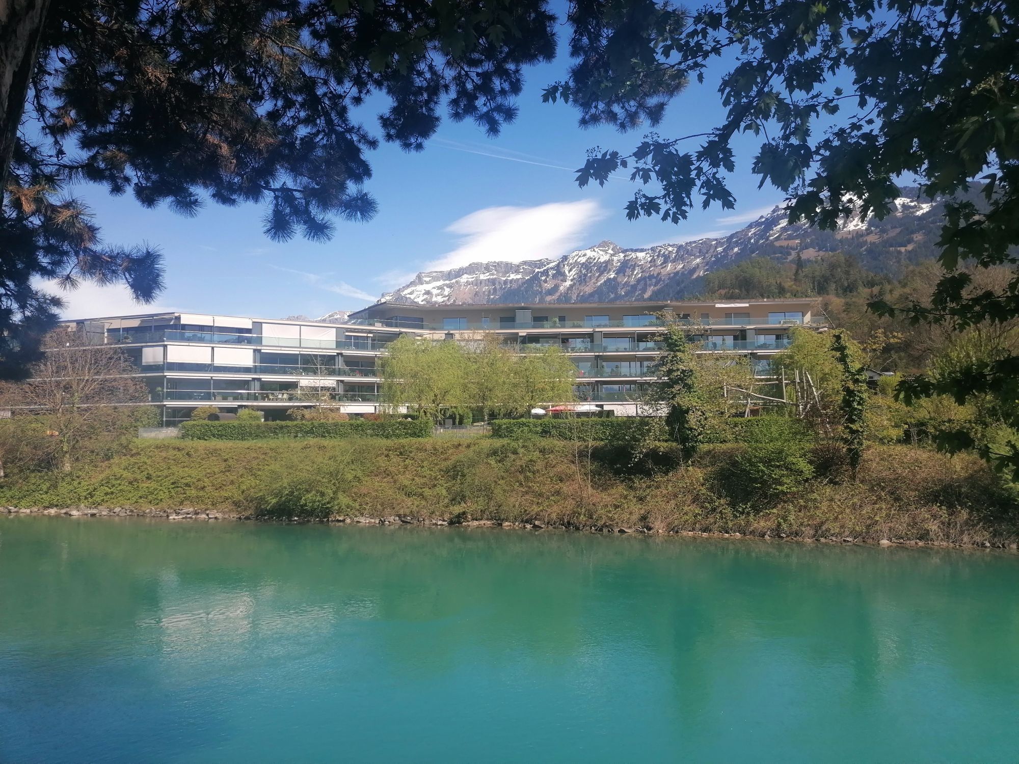
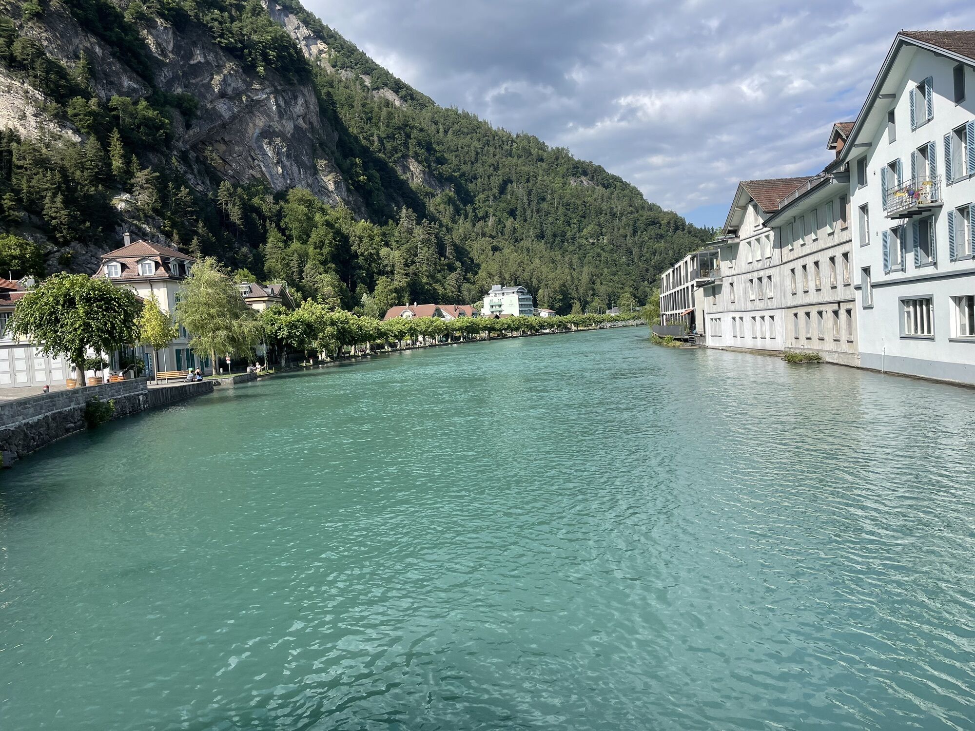
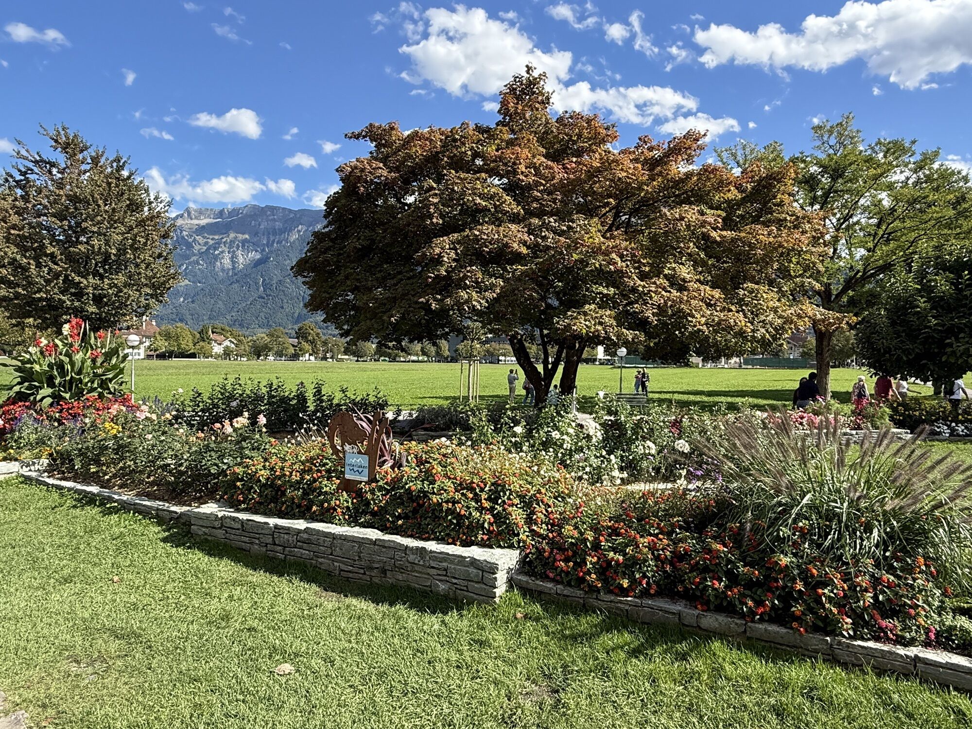
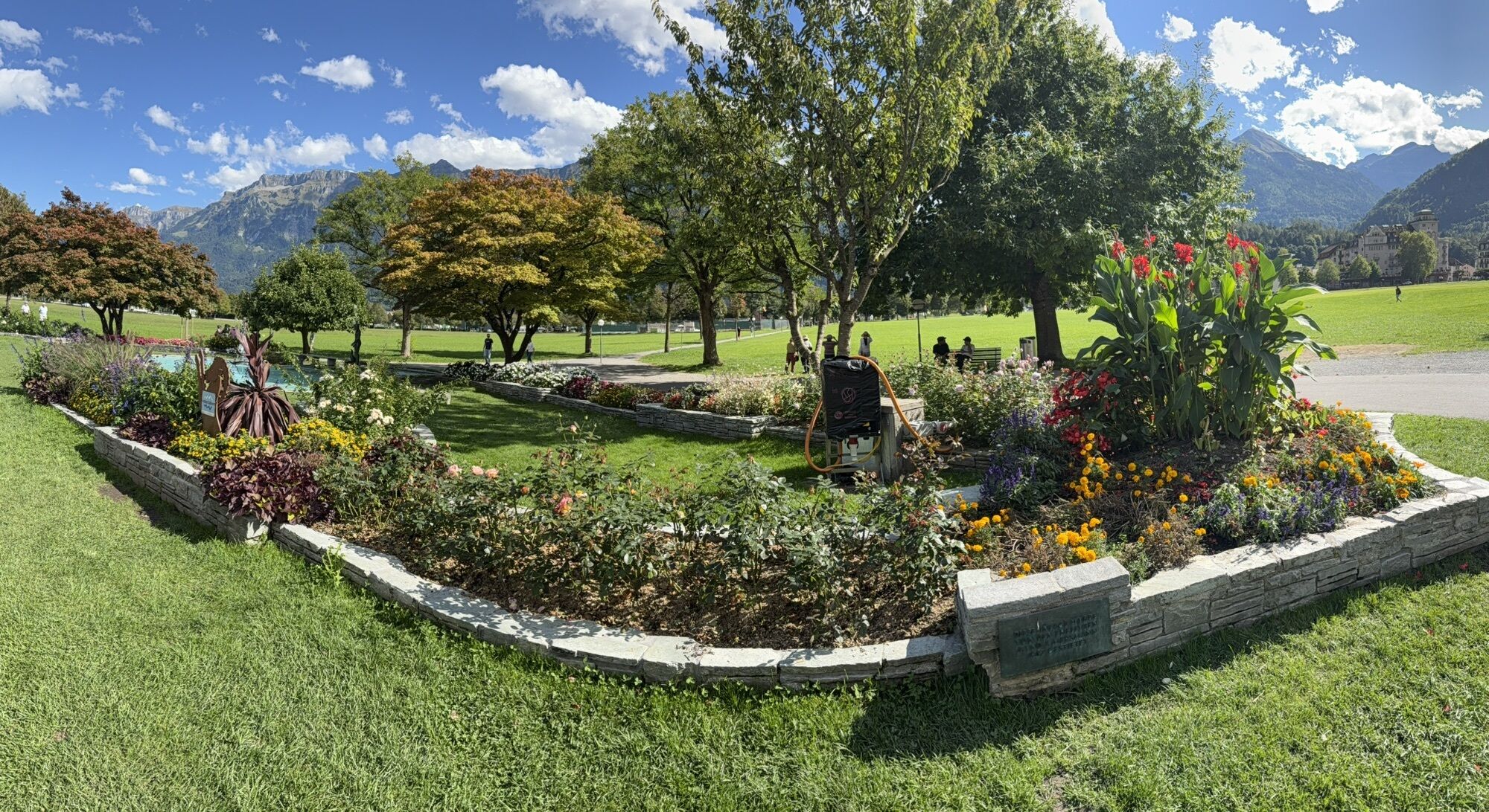
The tour starts at Interlaken Ost railway station and leads initially alongside the River Aare to Lake Brienz. From the quayside in Bönigen you can enjoy fantastic views over the turquoise waters as far...
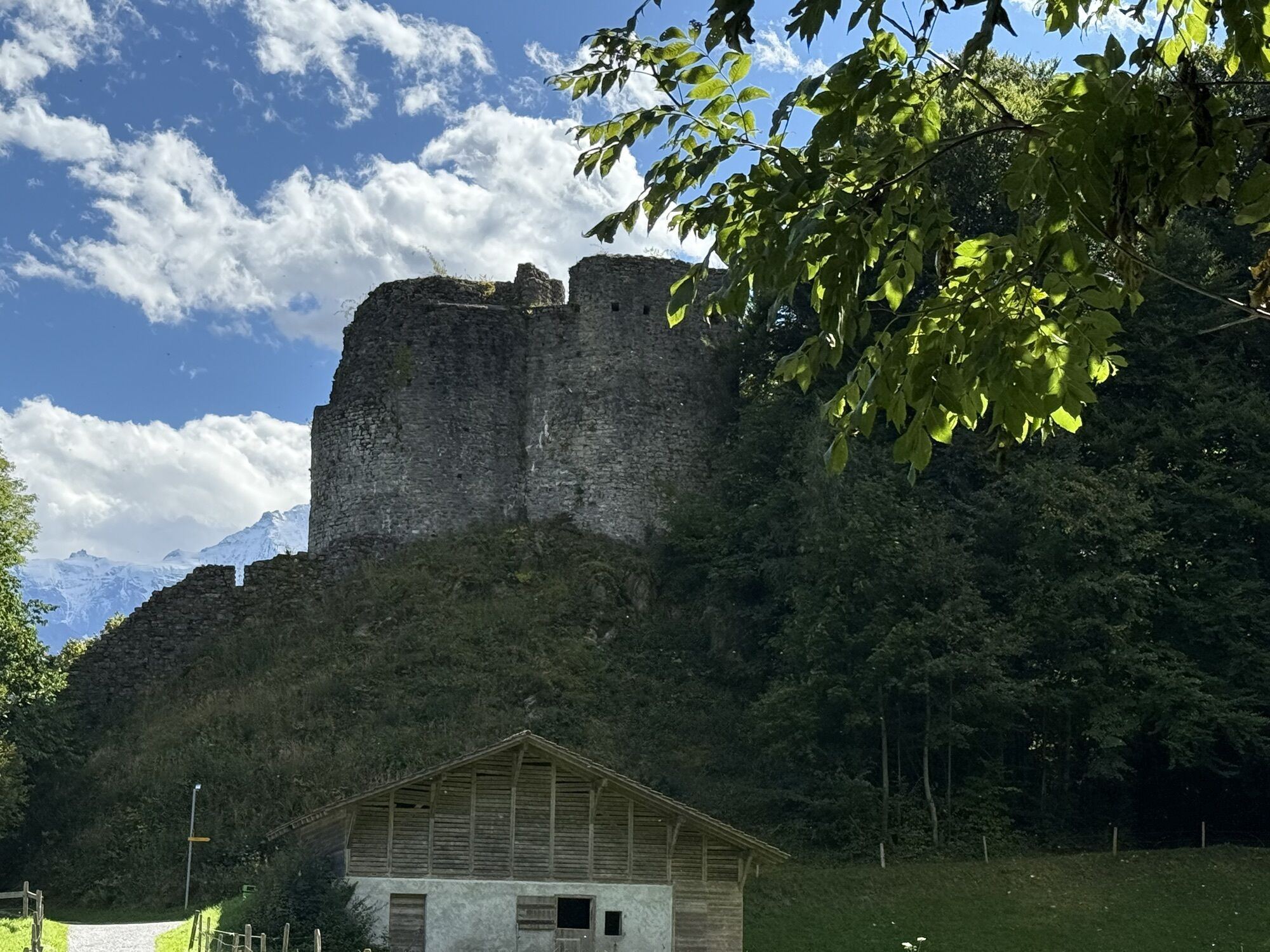
The tour starts at Interlaken Ost railway station and leads initially alongside the River Aare to Lake Brienz. From the quayside in Bönigen you can enjoy fantastic views over the turquoise waters as far as Brienz. The route continues over the Hauetenbach stream, followed by a brief ascent that is compensated for by superb views of the so-called 'Bödeli', the alluvial plain between Lake Thun and Lake Brienz. Ride along the bank of the River Lütschine to the church at Gsteig, where you will cross a medieval bridge. Continue through Wilderswil village, past the Unspunnen Castle ruins over the Rugen hill to Interlaken. Here the trail follows the canal towards Lake Thun. It is well worth stopping in the Weissenau nature reserve to visit the same-named ruins and enjoy the tranquillity of your surroundings. The route takes you back to Interlaken via Neuhaus, alongside the Lombach stream and through the picturesque old town of Unterseen.

Behind the railway station we firstly travel along the river Aare and then alongside lake Brienz to enjoy the far-reaching view that stretches up via Brienz into the Haslital from Bönigen. After the short climb to Chumm across the Houeta, we can see the wet land (Bödeli) between lakes Brienz and Thun with Interlaken, Matten and Unterseen. Established over the course of thousands of years, the «Bödeli» rightly lends its name to this route.We travel southwards between Lütschine and the former military airfield at Interlaken. Various large events are staged here every year. The Gsteig church dates from the 12th century and was formerly the main church serving 9 parishes between Lauterbrunnen and the «Bödeli». We travel over the medieval bridge built in 1738, which has been equipped with a lifting device since the 2005 floods, to reach Allend, the old village portion of Wilderswil, and on along the Kirchgasse into the upper village.After we pass the Unspunnen ruin the route leads us through the Wagneren gorge between the Kleine and Grosse Rugen towards the conurbation centre, to then immediately turn off to the canal in the direction of lake Thun. The Weissenau ruin was the site from where water-bourne trade and commerce on the Aare was formerly monitored and controlled. The nature reserve of the same name offers a habitat to numerous water birds. Passing via Neuhaus and through the Ey forest, we head towards the centre again and into the old town of Unterseen (uppermost town on the Aare). We then pass over the Aare bridge to continue on the Höheweg, Interlaken's promenade, with unobstructed views across the Jungfrau region until we reach Interlaken Ost station.
Source: https://www.schweizmobil.ch/en/veloland/routen/route-0380.html
Hol dir den Einblick Immer live vor Ort mit über 9.500 Webcams. In der Touren App von bergfex siehst du als Pro-User jetzt zu vielen Touren die passenden Webcams. So kannst du dir direkt die aktuellen Bedingungen ansehen.Beliebte Touren in der Nähe
- 4,8
Augstmatthorn
leichtWanderung 10,9 km - 4,8
Mülenen - Glogghore - Niesen - Niesen Kulm
schwerWanderung 7,86 km - 5,0
Jägerstübli - Lombachalp - Augstmatthorn - Suggiturm
mittelWanderung 6,55 km - 3,7
Sieben Hengste
schwerWanderung 13,7 km - 4,7
Schynige Platte - Faulhorn - First
schwerWanderung 16,8 km - 4,2
Niederhorn-Burgfeldstand-Gemmenalphorn-Justistal-Beatenberg
mittelWanderung 18,1 km - 3,8
Öpfelchüechliweg
leichtWanderung 4,70 km - 5,0
Rundweg Interlaken-Harder Kulm
leichtWanderung 10,9 km - 5,0
Kleine Scheidegg - Eigergletscher - Alpiglen (37 Jungfrau Eiger Walk + 36 Eiger Trail)
mittelWanderung 9,61 km - 4,7
Schynige Platte - Daube - Gumihorn
leichtWanderung 5,86 km
Wandern & Tracking


Verpasse keine Angebote und Inspirationen für deinen nächsten Urlaub
Deine E-Mail-Adresse wurde in den Verteiler eingetragen.





