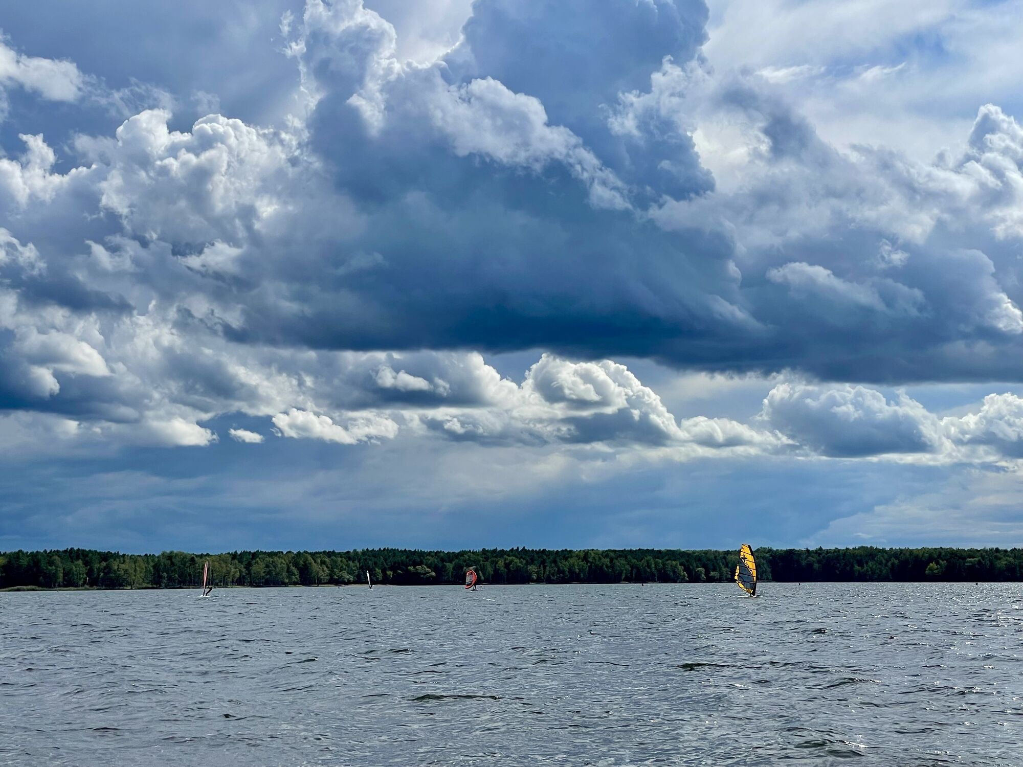
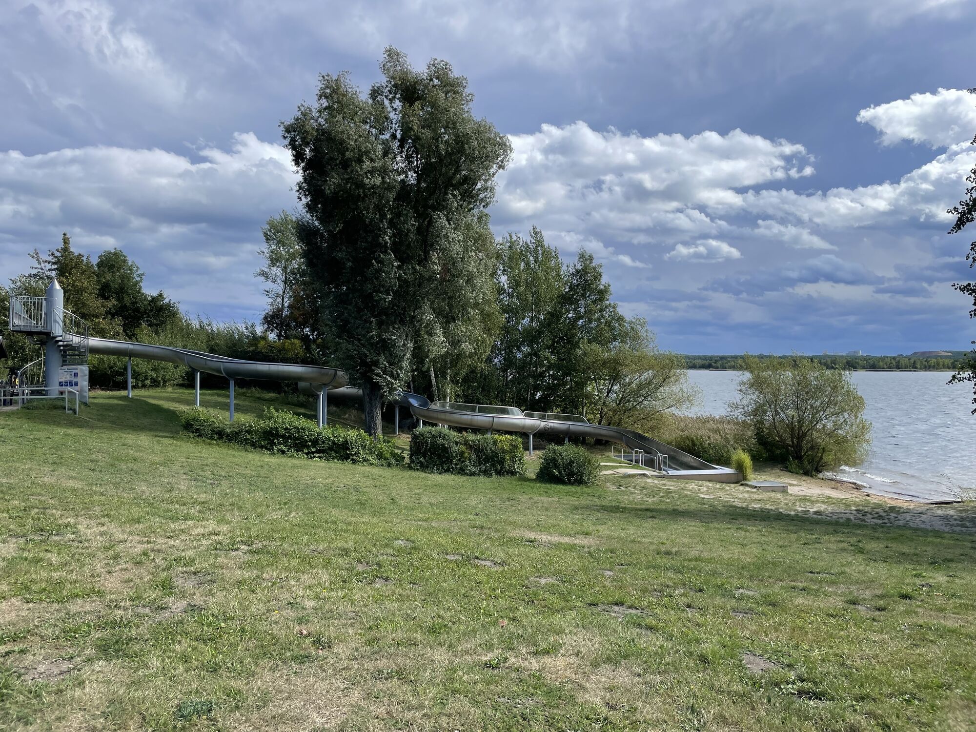
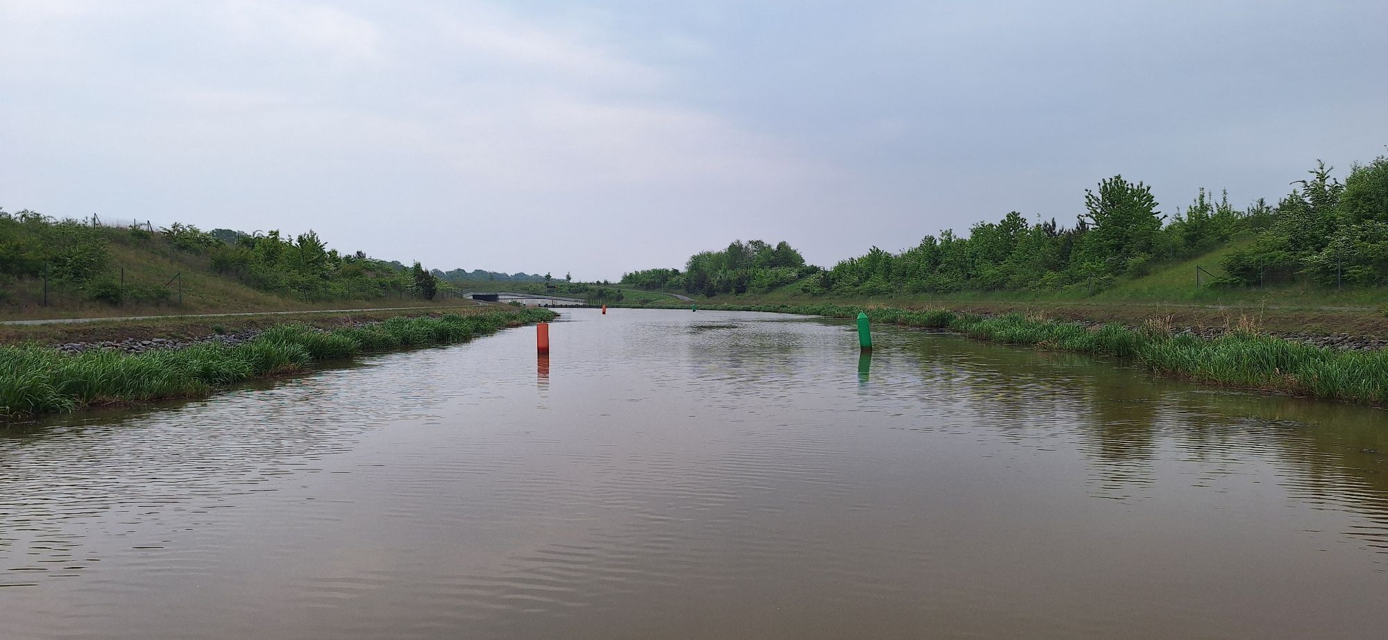
Gartenstadt Marga - Dorfkirche Hosena - St. Laurentius-Kirche - Filialkirche St. Josef
Radfahren
Hol diese Tour auf dein Handy
Gartenstadt Marga - Dorfkirche Hosena - St. Laurentius-Kirche - Filialkirche St. Josef
Radfahren
40,40
km
QR-Code scannen und Navigation in der bergfex App beginnen

Wandern & Tracking


Gartenstadt Marga - Dorfkirche Hosena - St. Laurentius-Kirche - Filialkirche St. Josef
Radfahren
Distanz
40,40
km
Dauer
07:16
h
Aufstieg
18
hm
Seehöhe
99 -
127
m
Track-Download
Gartenstadt Marga - Dorfkirche Hosena - St. Laurentius-Kirche - Filialkirche St. Josef
Radfahren
40,40
km
Wegverlauf
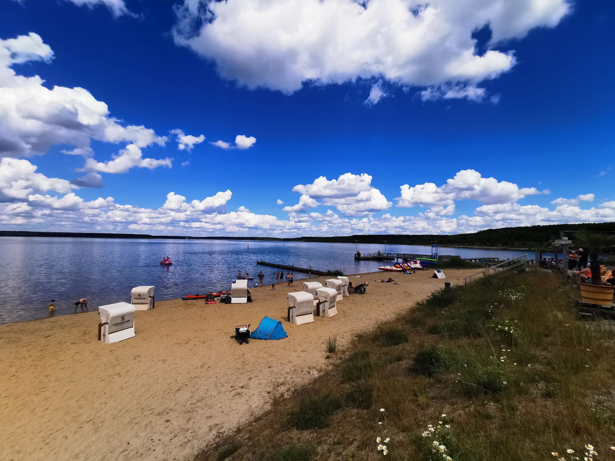
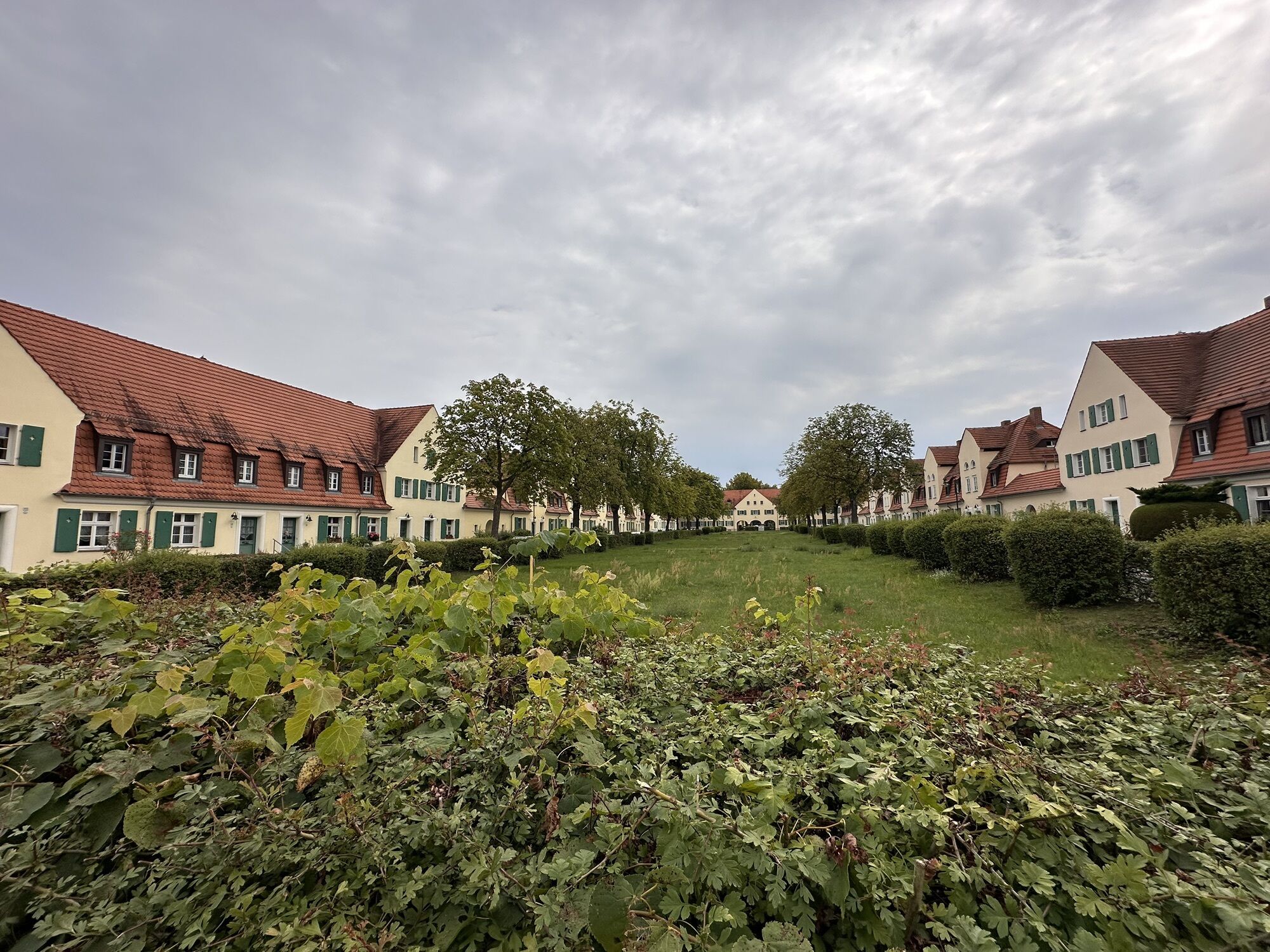
Gartenstadt Marga
(104 m)
Flur/Gelände
0,0 km
Martin-Luther-Kirche
(107 m)
Andachtsstätte
0,6 km
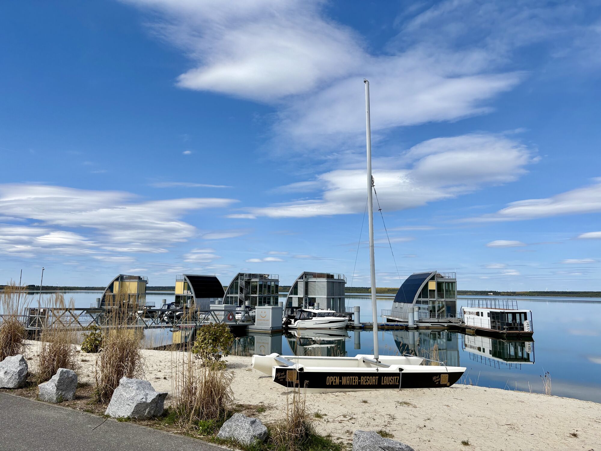
Senftenberg
(102 m)
Stadt
1,7 km
Niemtsch
(103 m)
Dorf
2,9 km
St. Laurentius-Kirche
(122 m)
Andachtsstätte
14,4 km
Filialkirche St. Josef
(122 m)
Andachtsstätte
17,5 km
St.-Barbara-Kirche
(116 m)
Andachtsstätte
22,1 km
Wegverlauf
Gartenstadt Marga - Dorfkirche Hosena - St. Laurentius-Kirche - Filialkirche St. Josef
Radfahren
40,40
km
Gartenstadt Marga
(104 m)
Flur/Gelände
0,0 km
Brieske
(102 m)
Stadtteil
0,5 km
Martin-Luther-Kirche
(107 m)
Andachtsstätte
0,6 km
Senftenberg
(102 m)
Stadt
1,7 km
SYRTAKI bei Niemtscher Mühle
(108 m)
Restaurant
2,4 km
Niemtsch
(103 m)
Dorf
2,9 km
Peickwitz
(102 m)
Dorf
7,4 km
Ringer Stüb'l
(114 m)
Restaurant
10,4 km
Dorfkirche Hosena
(117 m)
Andachtsstätte
10,5 km
Hosena
(114 m)
Dorf
10,7 km
Lauta Dorf
(121 m)
Dorf
13,9 km
St. Laurentius-Kirche
(122 m)
Andachtsstätte
14,4 km
Lauta
(114 m)
Stadt
16,3 km
Filialkirche St. Josef
(122 m)
Andachtsstätte
17,5 km
Evangelische Stadtkirche (Kulturkirche)
(118 m)
Andachtsstätte
19,0 km
Laubusch Kolonie
(115 m)
Stadtteil
22,0 km
Laubusch
(114 m)
Dorf
22,1 km
St.-Barbara-Kirche
(116 m)
Andachtsstätte
22,1 km
Kortitzmühle
(112 m)
Siedlung
24,0 km
Geierswalde
(111 m)
Dorf
26,4 km
Der Leuchtturm
(107 m)
Restaurant
27,1 km
Kleinkoschen
(106 m)
Dorf
32,7 km
Buchwalde
(105 m)
Stadtteil
36,1 km
Senftenberg
(102 m)
Stadt
37,1 km
Spielplatz am Stadthafen
(103 m)
Spielplatz
37,2 km
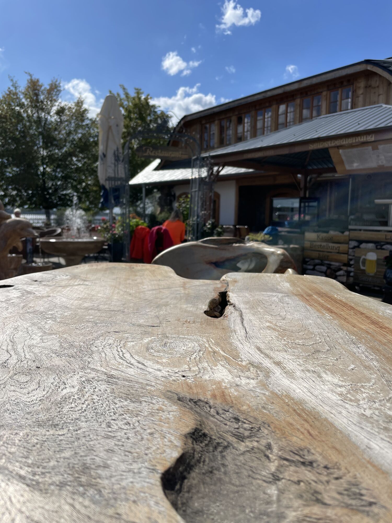
il Massimo
(102 m)
Restaurant
38,4 km
Gartenstadt Marga
(104 m)
Flur/Gelände
40,4 km
Brieske
(102 m)
Stadtteil
40,4 km
Noch keine Bewertungen
Beliebte Touren in der Nähe
- 4,8
Großkoschen - Kóšyna - Senftenberg - Zły Komorow - il Massimo - Evangelische Kirche Großkoschen
leichtRadfahren 37,4 km Dubringer-Moor-Tour
mittelRadfahren 33,2 kmRundweg Großkoschen-Krabatmühle
leichtRadfahren 37,0 kmRuhlander Heide- Binnengraben -Schwarze Elster
mittelLanglaufen 9,56 kmGuteborn- Lipsa
leichtWanderung 6,70 kmTour Brandenburg - von Cottbus nach Gröditz in Sachsen
mittelRadfahren 124,2 kmRuhland, - Hermsdorf- Janowitz-Arnsdorf- Ruhland
leichtRadfahren 22,0 kmBlunoer Kirche - Bluno - Bluń - Evangelische Kirche Großkoschen - Senftenberg - Zły Komorow
mittelRennrad 63,5 kmLichterfeld - Landleben - Werners Landgasthaus - Großräschen
schwerRadfahren 59,4 km- 4,3
Großkoschen - Kóšyna - SYRTAKI bei Niemtscher Mühle - Einkehr "Am alten Wehr" - Evangelische Kirche Großkoschen
leichtRadfahren 17,6 km
Wandern & Tracking

Über 550.000 Tourenvorschläge, detailliertes Kartenmaterial und ein intuitiver Routenplaner machen die App zum Must-have für alle Naturbegeisterten.

Verpasse keine Angebote und Inspirationen für deinen nächsten Urlaub
Zum Newsletter anmelden
Fehler
Ein Fehler ist aufgetreten. Bitte versuche es erneut.Vielen Dank für deine Anmeldung
Deine E-Mail-Adresse wurde in den Verteiler eingetragen.
Touren in ganz Europa
Österreich Schweiz Deutschland Italien Slowenien Frankreich Niederlande Belgien Polen Liechtenstein Tschechien Slowakei Spanien Kroatien Bosnien und Herzegowina Luxemburg Andorra Portugal Island Vereinigtes Königreich Irland Griechenland Albanien Nordmazedonien Malta Norwegen Montenegro Moldau Kosovo Ungarn San Marino Rumänien Estland Lettland Belarus Zypern Litauen Serbien Bulgarien Monaco Dänemark Schweden Finnland