


South Ostrobothnian Booze Cruise
Rather than an encouragement to drink and ride, the South Ostrobothnian Booze Cruise is an invitation to explore breweries and distilleries based in South Ostrobothnia. Finland’s best-known spirits also...
Rather than an encouragement to drink and ride, the South Ostrobothnian Booze Cruise is an invitation to explore breweries and distilleries based in South Ostrobothnia. Finland’s best-known spirits also originate here. A lot of people have tasted Koskenkorva, but how many have been there? This cycling route offers you an opportunity do just that. The route travels through Isokyrö, Kurikka, Ilmajoki and Seinäjoki. Along the route, you can stop by the well-known Kyrö Distillery in Isokyrö and the Koskenkorva Trahteeri resort and museum in Koskenkorva. Ylistaro in Seinäjoki is home to the beverage factory Pirula. You can also do a little detour to Seinäjoki and visit Mallaskoski Brewery by the old water tower. South Ostrobothnia’s newest brewery operates on the premises of Kurikka’s old Lakkitehdas hat factory in Panttila. While the old factory area is packed with history, the brewery is still brand new.
The route also runs past Orisberg Manor, where you can visit the manor’s old chapel and stay the night on a campsite.
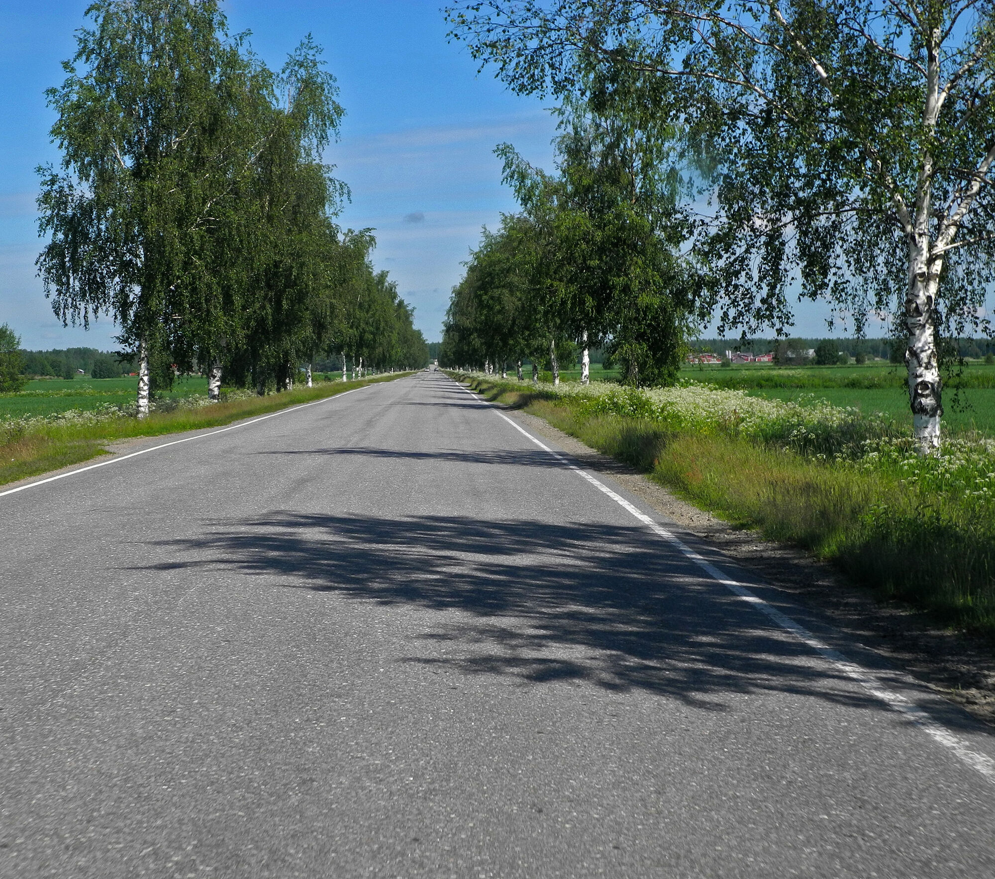
The route takes you across typical South Ostrobothnian landscapes featuring vast fields, forests and idyllic villages. Along the route, you can find historical sites and more unconventional visitor attractions, such as Ylistaro Church and Jari Mäki’s American-style ranch and shop in Koskenkorva.

Because this is a circular route, it can be travelled in either direction, but for these instructions, we take Kyrö Distillery in Isokyrö as our starting point. From Perttilän siltatie, turn onto Pohjankyröntie before taking a left turn onto Valtaalantie (Road 18). After 1.5 km, turn right onto Kortesluomantie, cycle for 800 m until you reach Orismalantie and turn right. After 5.6 km, the name of the road changes to Orisbergintie. The road number remains the same (7026). After about 4 km, turn left onto Åbergintie. Orisberg manor and church, a campsite and a beach are located near the crossroads. Continue along Åbergintie for 16 km until you reach Road 3/E12. Turn left and cycle for 2.4 km, before turning right onto Pitkänmäentie. After about 7 km, you will reach the village of Nopankylä. At the Jurvantie (6880) crossroads, continue straight onto Nylenintie. Cycle for 10.6 km until you reach Vaasantie (E12). After 2.5 km, the road name changes to Nopankyläntie. At the crossroads of Nopankyläntie and Jouppilantie, turn onto Jouppilantie and cycle for 2.5 km until you come to Vaasantie (Road 3/E12). Turn right, cross over the Kyrönjoki and turn left at the next crossroads. The cycling route runs underneath the crossroads. After 2 km, turn left onto Santavuorentie and continue for 1.2 km before making another left turn onto Alatie and cycle for 1.3 km. The name of the road changes to Trahteerintie along the way. As the new road name suggests, Koskenkorvan Trahteeri, Museum and the Distillery Manager’s House, which offers accommodation, are located along it. After passing these buildings, turn left, cross the river and turn right onto Koskitie. You have now arrived in the centre of Koskenkorva, where you will find a shop and other amenities. After half a kilometre, turn right onto Ilmajoentie (Road 7000) and continue for 31.6 km across Ilmajoki, until you come to Road 18. Turn left at the crossroads, cycle for a couple of kilometres, turn first right and then left onto Alapääntie. Cycle for 3.4 km, before turning right towards Heikkola’s suspension bridge, where you cross Kyrönjoki. After the bridge, the route turns left and runs along Reiniläntie (Road 7200) for 6.4 km towards Perttilä’s suspension bridge and Kyrö Distillery. The name of the road changes to Perttiläntie.
You will find several charming villages along the route. The villages in Isokyrö between the riverbanks of the Kyröjoki and the fields, in particular, are worth mentioning.
Reitin varrella on paljon viehättäviä kyliä. Varsinkin voisi mainita Isokyrössä Kyrönjoen ja peltoaukeiden välissä olevat kylät.
Beliebte Touren in der Nähe
Orisberg, Isokyrö
mittelWanderung 11,4 kmKyrö River Road Trip
mittelFernradweg 212,9 kmAlajoki cultural landscape route
mittelRadfahren 45,4 kmSeinäjoki - Hyvän paimenen kappeli - Kansanlähetys Etelä-Pohjanmaa
schwerMountainbike 67,8 kmSeinäjoki - Kansanlähetys Etelä-Pohjanmaa - Heikkilä
mittelGravelbike 43,2 km
Wandern & Tracking


Verpasse keine Angebote und Inspirationen für deinen nächsten Urlaub
Deine E-Mail-Adresse wurde in den Verteiler eingetragen.