





Minett Cycle Preview Segment: Sanem-Kockelscheuer

In the south of Luxembourg lies the Minett region, the land of the red rocks (Terre rouge), named after the ore-rich rock in the soil, which also colors it red. In the future, a coherent, fully signposted...
In the south of Luxembourg lies the Minett region, the land of the red rocks (Terre rouge), named after the ore-rich rock in the soil, which also colors it red. In the future, a coherent, fully signposted bicycle tour will lead through the entire region: the "Minett Cycle". After 2023, a total of 150 kilometers (divided into three loops) of bicycle infrastructure should invite you to discover them.
Until then, you can already ride sections of the future "Minett Cycle" and discover sections of the unique Minett region. On this section, the path between Sanem and the Kockelscheuer near Luxembourg City leads through the idyllic, rural part of the Minett region; Via Limpach, Reckange-sur-Mess and Leudelange, you can get a little taste of what awaits you in the future on the routes of the three loops of the "Minett Cycle" on the paved cycle path of the "Piste Cyclable 9".
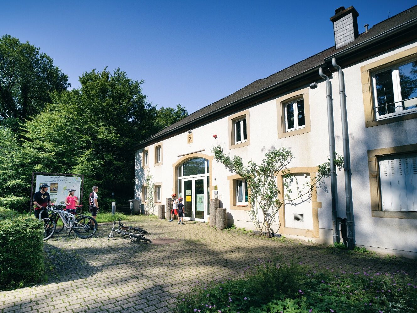

The path can be traveled in both directions and is signposted in both directions.
Remember to wear a helmet. Bring enough drinking water and food for the trail.
Nevertheless, please observe the rules of the road traffic regulations where your path crosses the road.
Parking spaces are available at both start and end points.
There are a few tourist destinations along the route: just a short detour away you will find the "Pretemer Haff" in Limpach or the "Suessemer Schlass" in Sanem, or you can go ice skating on the Kockelscheuer ice rink, pitch your tent at the campsite and put your feet up or find out more about Luxembourg’s biodiversity and nature in the natur&ëmwelt «House of Nature».
Beliebte Touren in der Nähe
Luxembourg, ville millénaire
mittelWanderung 11,5 kmPétange, Luxembourg, Prënzebierg-Giele Botter
leichtWanderung 8,48 kmBelvaux, Luxembourg, Autopédestre
leichtWanderung 9,32 kmTétange, Luxembourg Minettswee
leichtWanderung 9,21 kmMinett Cycle Preview: Segment Sanem-Bettembourg
mittelRadfahren 19,8 km- 5,0
Hunsdorf - Hënneschte Bësch - Direndall - Steinsel
mittelWanderung 11,6 km Minett Cycle Preview: Segment Belvaux-Tétange
schwerRadfahren 19,0 km- 4,0
Abweiler
mittelWanderung 8,86 km Käerjeng, Luxembourg
Wanderung 3,77 kmEhlénger Tour
leichtWanderung 7,65 km

Wandern & Tracking


Verpasse keine Angebote und Inspirationen für deinen nächsten Urlaub
Deine E-Mail-Adresse wurde in den Verteiler eingetragen.





