







Hummel Tour - SwitzerlandMobility Route 970
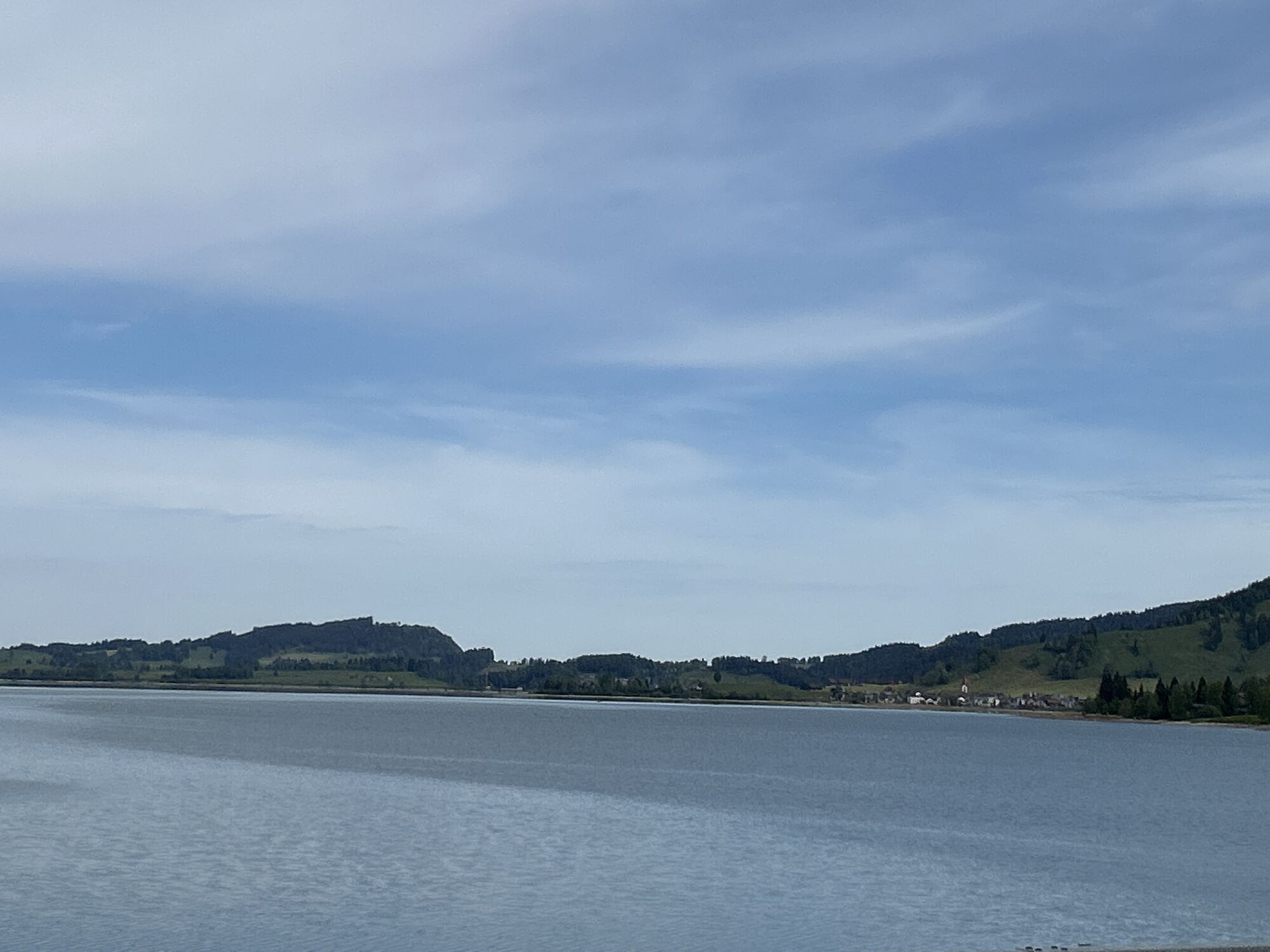
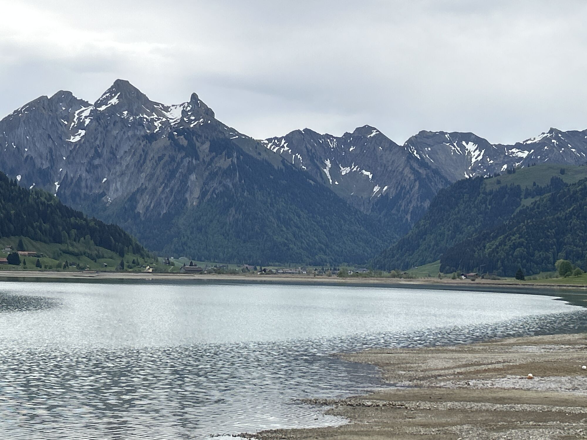
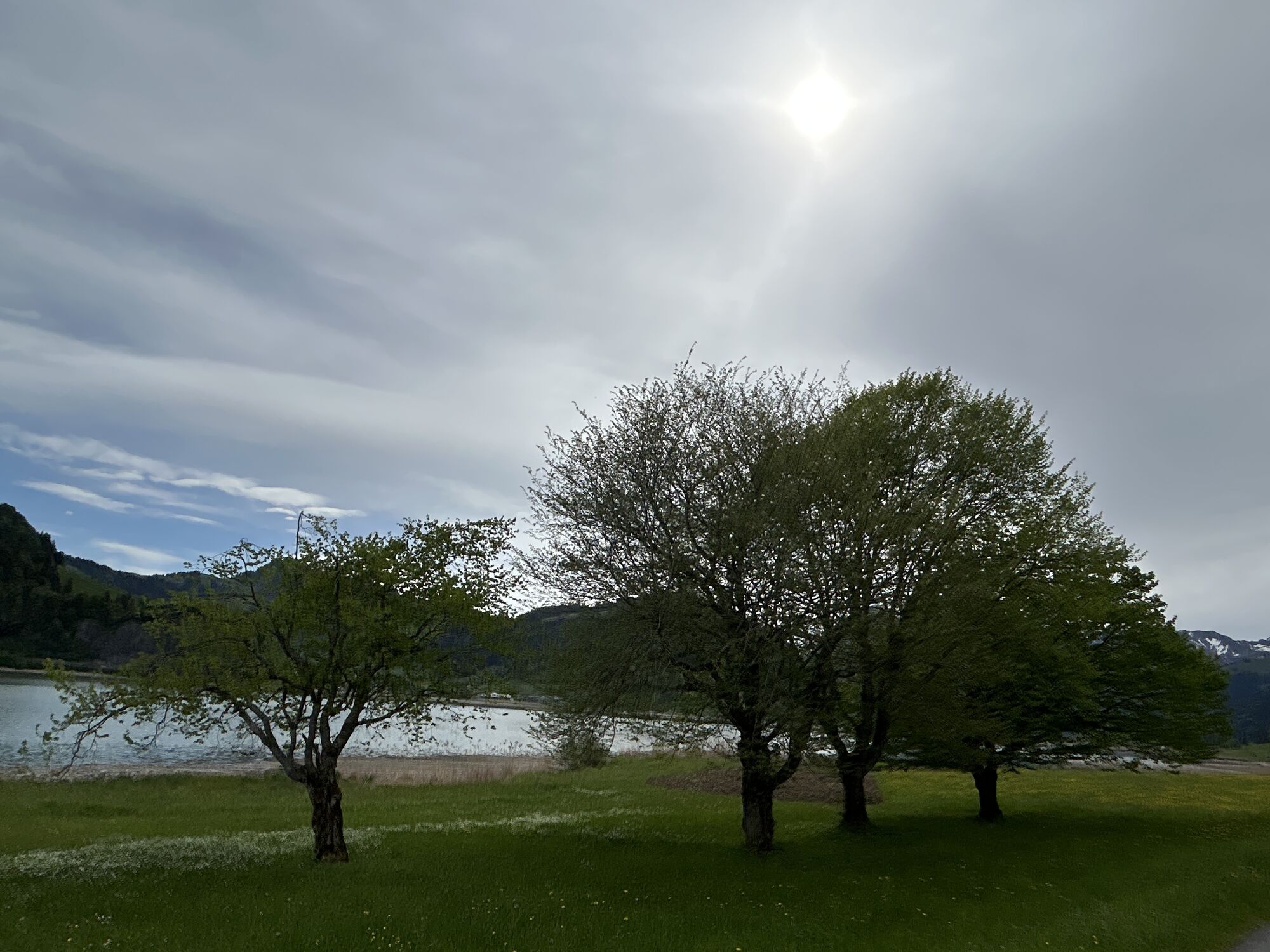
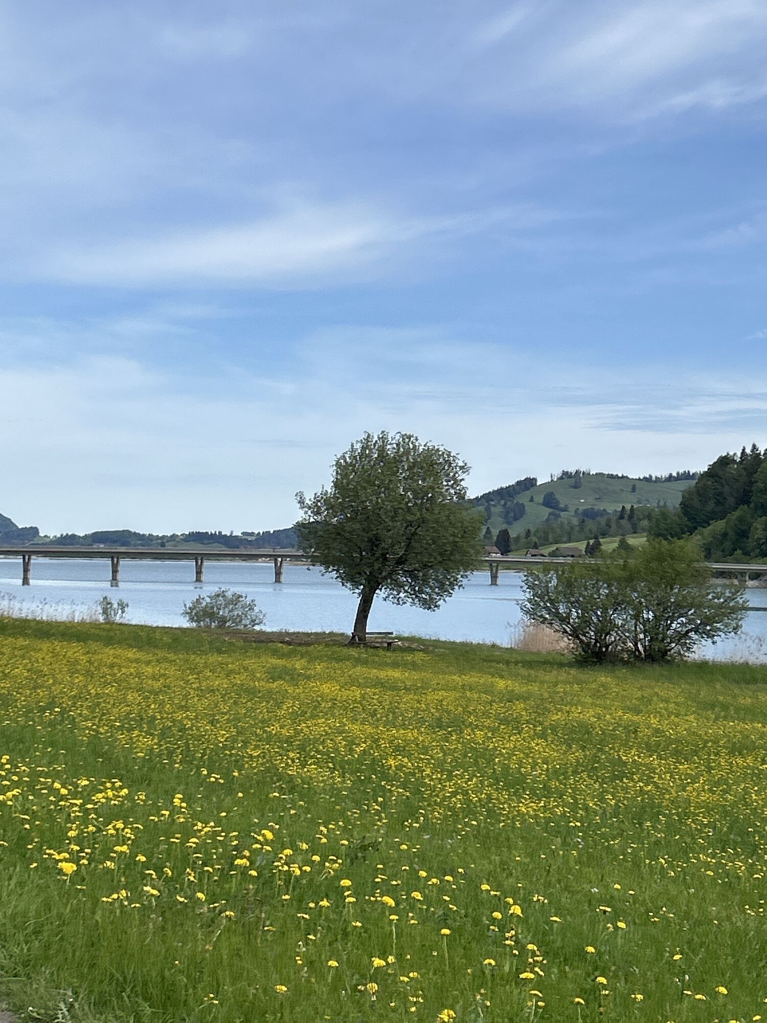
From the railway station we ride to the abbey and then along the main road in the direction of Gross. At the Steinbach restaurant we bear right of the small viaduct over Lake Sihl and follow the side road...
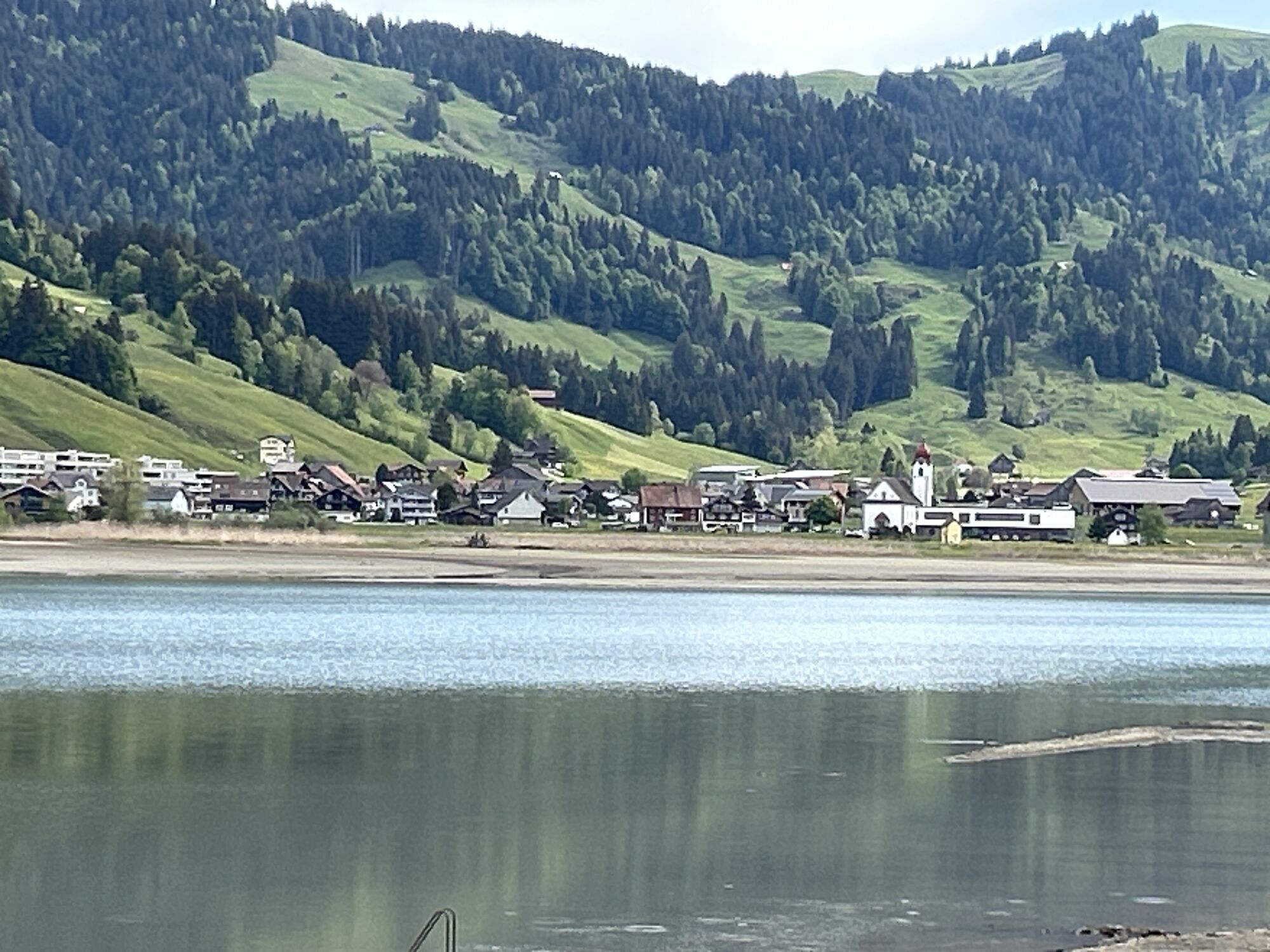
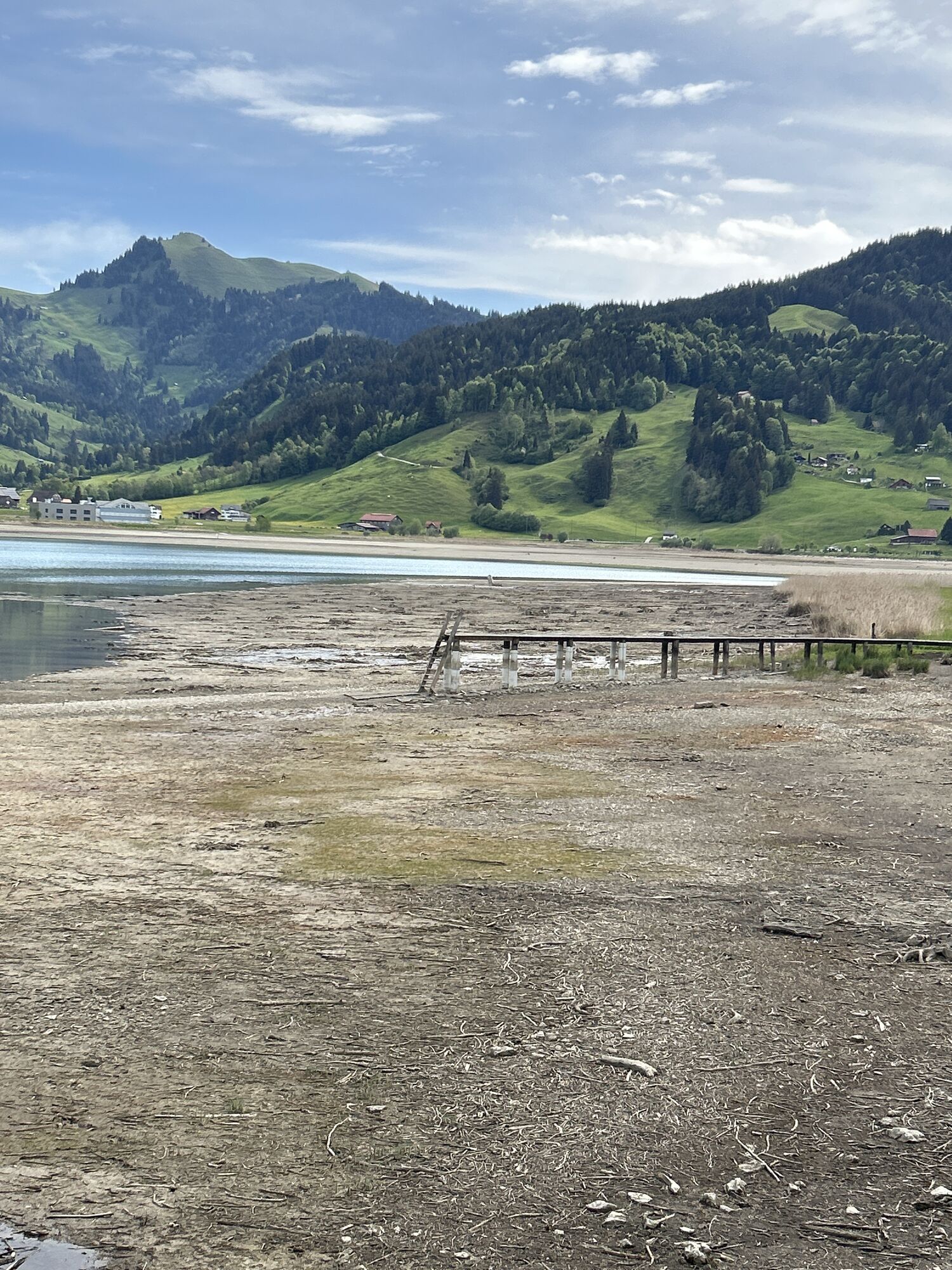
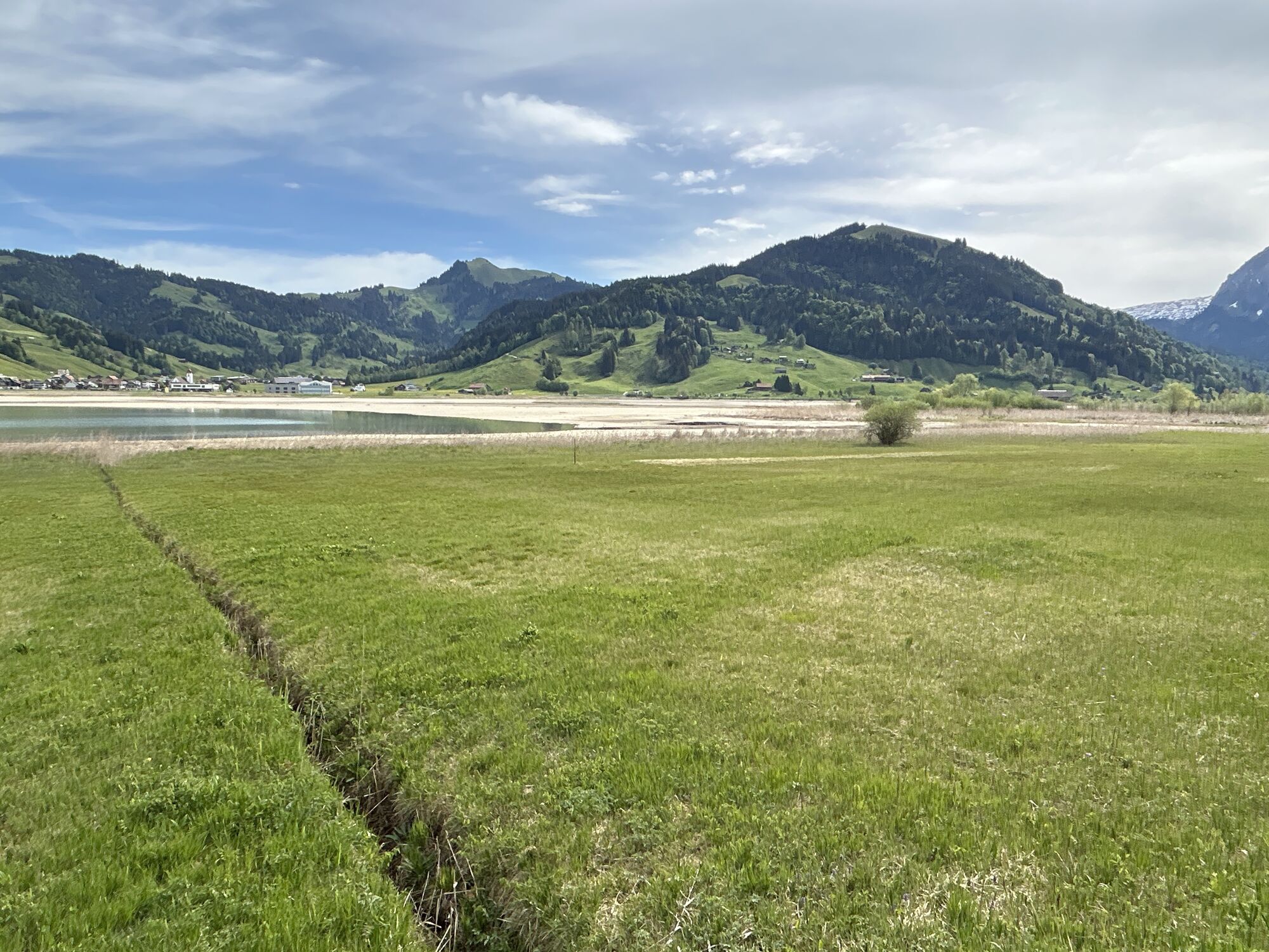
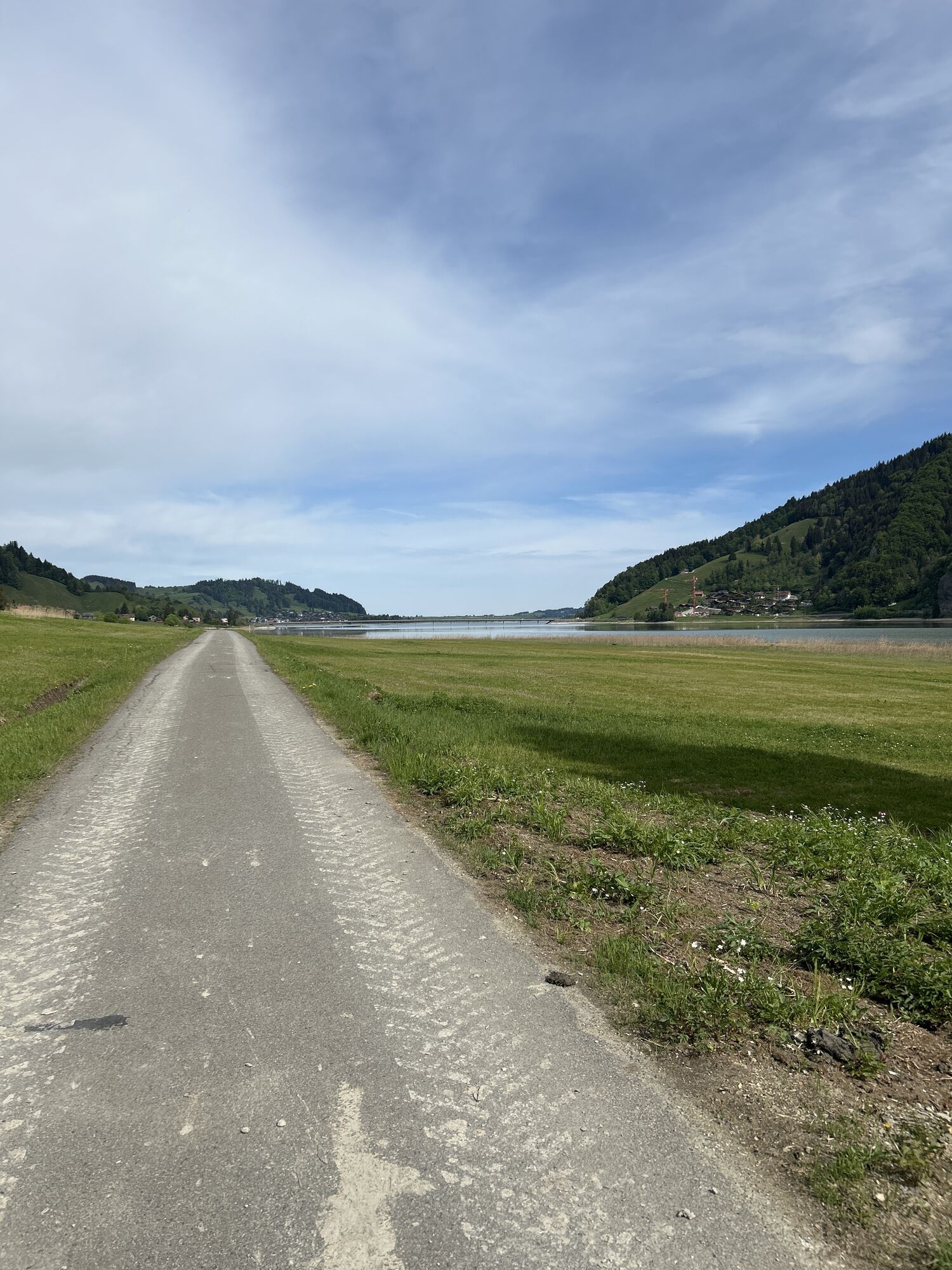
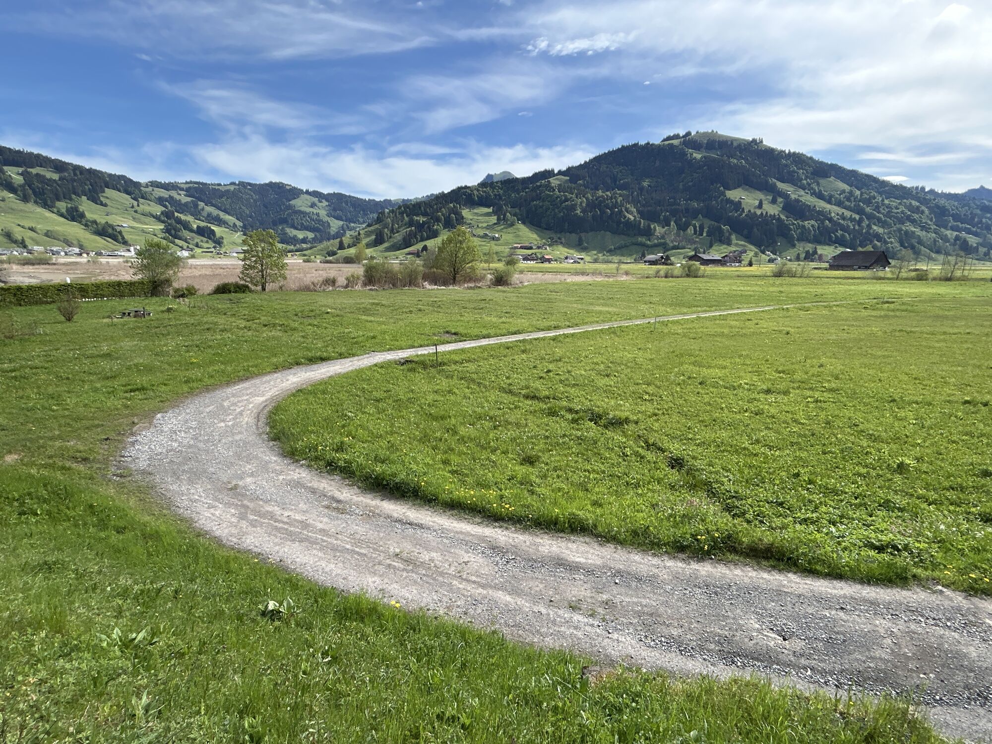
From the railway station we ride to the abbey and then along the main road in the direction of Gross. At the Steinbach restaurant we bear right of the small viaduct over Lake Sihl and follow the side road across the Ahorenweid pasture to Rütirank. From here, it is less than one kilometre before the ascent through Schräwald forest. After climbing the first three kilometres on asphalt, there is an interesting, relatively flat stretch of about five kilometres to Unterer Hummel.
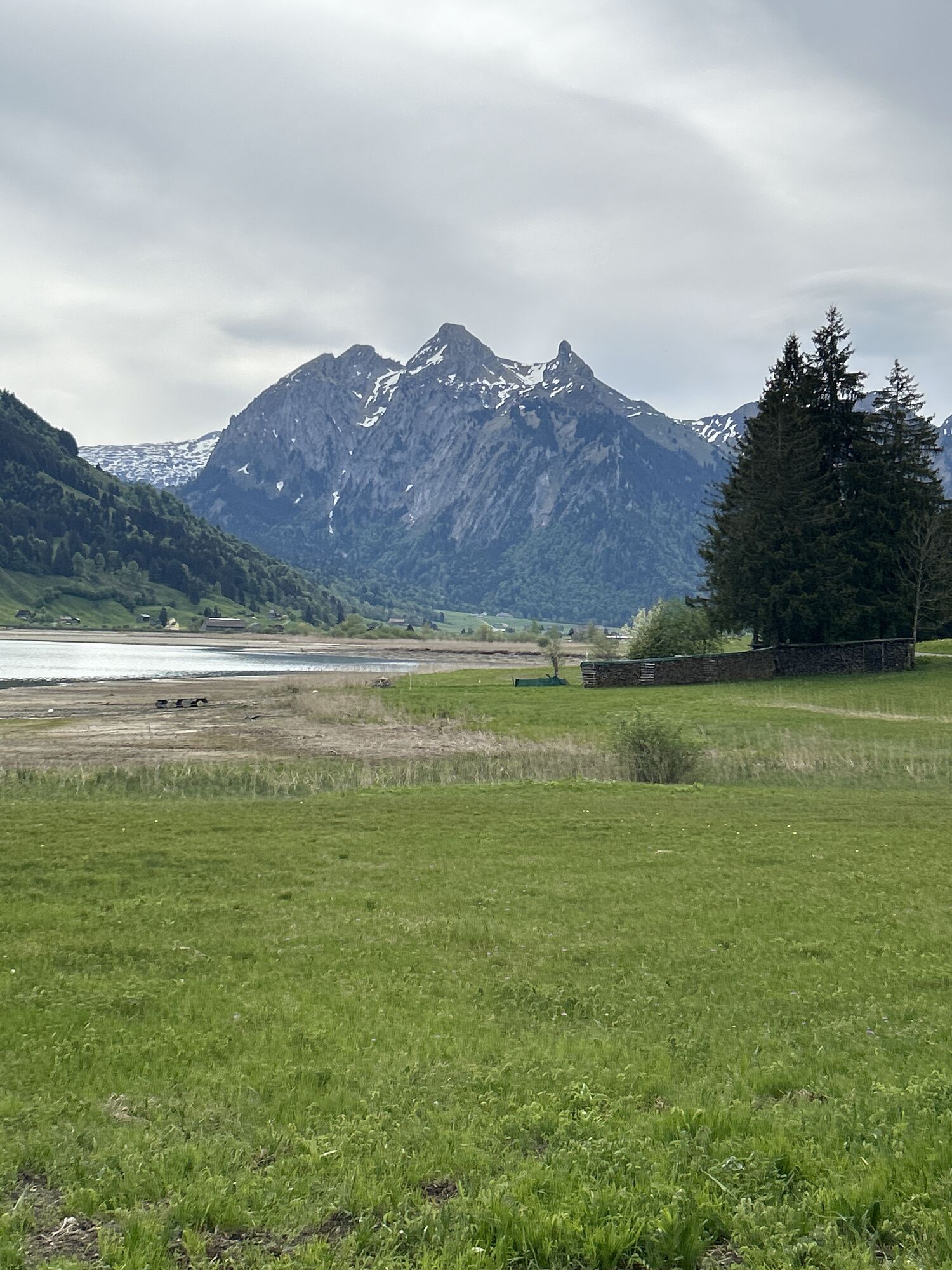
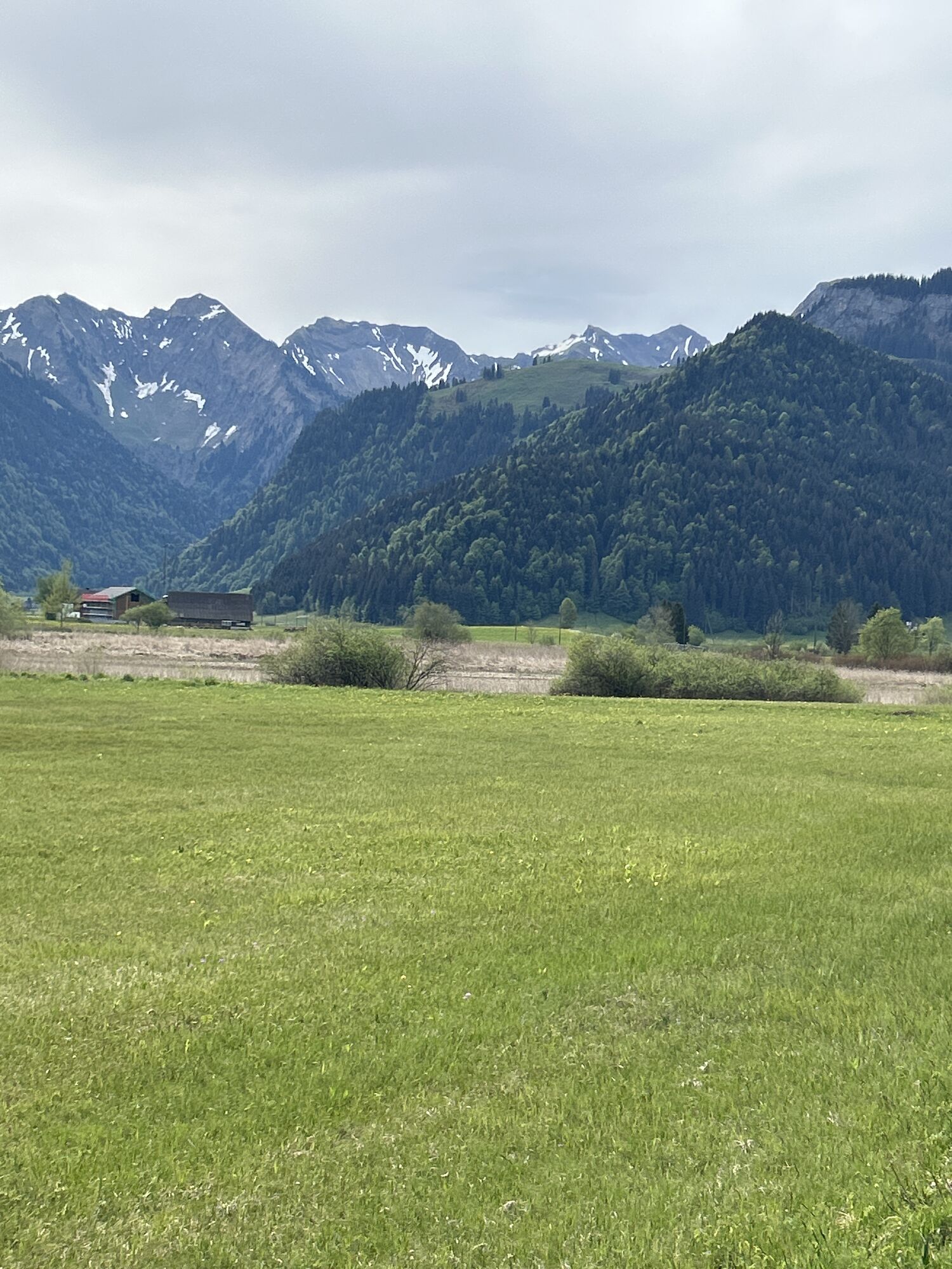
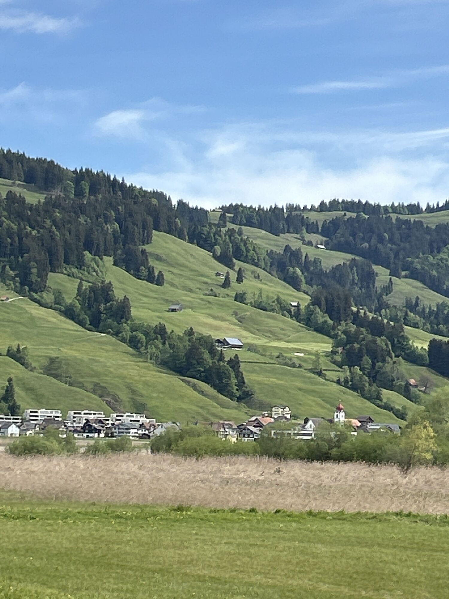
From here you can enjoy magnificent views of Lakes Sihl, Zurich, Pfäffikon and Greifen. On a clear day, you can even see as far as the Black Forest. After the long ascent to Hummel, there is a rapid descent towards Gross. At the crossroads (bridge) before the Steinauer sawmill, we turn left and arrive, after one kilometre, at Chälen.
Here we bear left and leave the road, then after a good ten minutes we reach Chüeboden. This is followed by the final descent to Eigen; the gentle descent back to Einsiedeln is via Trachslau and the Au Convent. As an alternative, it is possible to return directly to Einsiedeln from Chälen via Wäni.

Einsiedeln – Unteriberg – Unter Hummel – Trachslau – Einsiedeln
The route is waymarked in one direction only: Einsiedeln - Unteriberg - Unter Hummel - Trachslau - Einsiedeln.
Einsiedeln is 40 km from Zurich and 55 km from Lucerne. The drive from the Richterswil or Schindellegi exits of the A3 Zurich – Chur motorway to Einsiedeln takes 15 minutes.
The Swiss Federal Railways and Südostbahn railway company (SOB) run a half-hourly service between to Einsiedeln from Zurich. An hourly service to Einsiedeln is provided by the Voralpen Express railway company, which runs between Romanshorn in eastern Switzerland and the Lucerne conurbation.
Parking is available at Brüel AG and the MM Center Einsiedeln, as well as many other places. All are chargeable.
Einsiedeln MonasteryGoldapfel Gingerbread MuseumBethlehem Diorama
Hol dir den Einblick Immer live vor Ort mit über 9.500 Webcams. In der Touren App von bergfex siehst du als Pro-User jetzt zu vielen Touren die passenden Webcams. So kannst du dir direkt die aktuellen Bedingungen ansehen.
Beliebte Touren in der Nähe
- 4,3
Mythenweg - Bergwanderung auf den Grossen Mythen
schwerWanderung 3,40 km - 4,4
Kleiner Mythen
mittelWanderung 6,31 km - 4,9
Rhodannenberg - Vorder Ruestelchopf - Vorauen - Steppel
Wanderung 13,6 km - 4,5
Brunni-Feuerstellen-Rundwanderung
leichtWanderung 11,5 km - 4,7
Mythen via Ibergeregg
mittelWanderung 9,73 km - 5,0
Chli Aubrig
leichtWanderung 8,51 km - 5,0
Wanderung entlang der Mythen, Alp "Zwüschet-Mythen"
mittelWanderung 10,5 km - 4,8
Holzegg - Grosser Mythen - Restaurant Grosser Mythen - Alpwirtschaft Brunnialp
mittelWanderung 5,66 km - 4,2
Bockmattli
mittelWanderung 12,4 km - 4,4
Sattelegg - Muttergottes- und Bruderklausenkapelle - Wildegg - Chli Aubrig
mittelWanderung 9,57 km
Wandern & Tracking


Verpasse keine Angebote und Inspirationen für deinen nächsten Urlaub
Deine E-Mail-Adresse wurde in den Verteiler eingetragen.





