


PR13 Vereda do Fanal


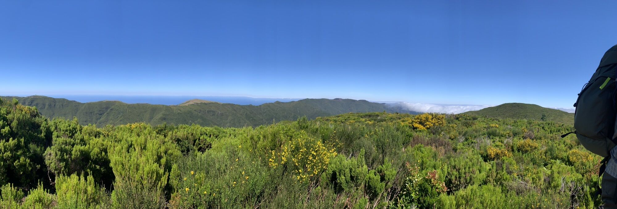
Beautiful hike through the gorgeous vegetation and stunning landscapes the Paul da Serra plateau has to offer.

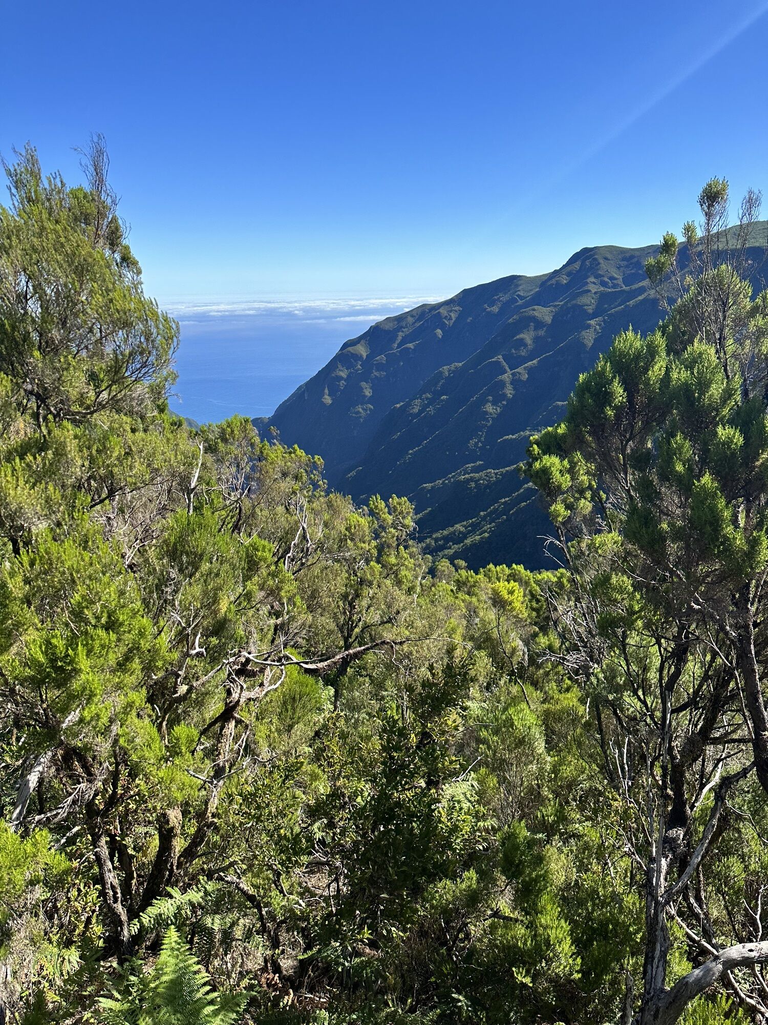
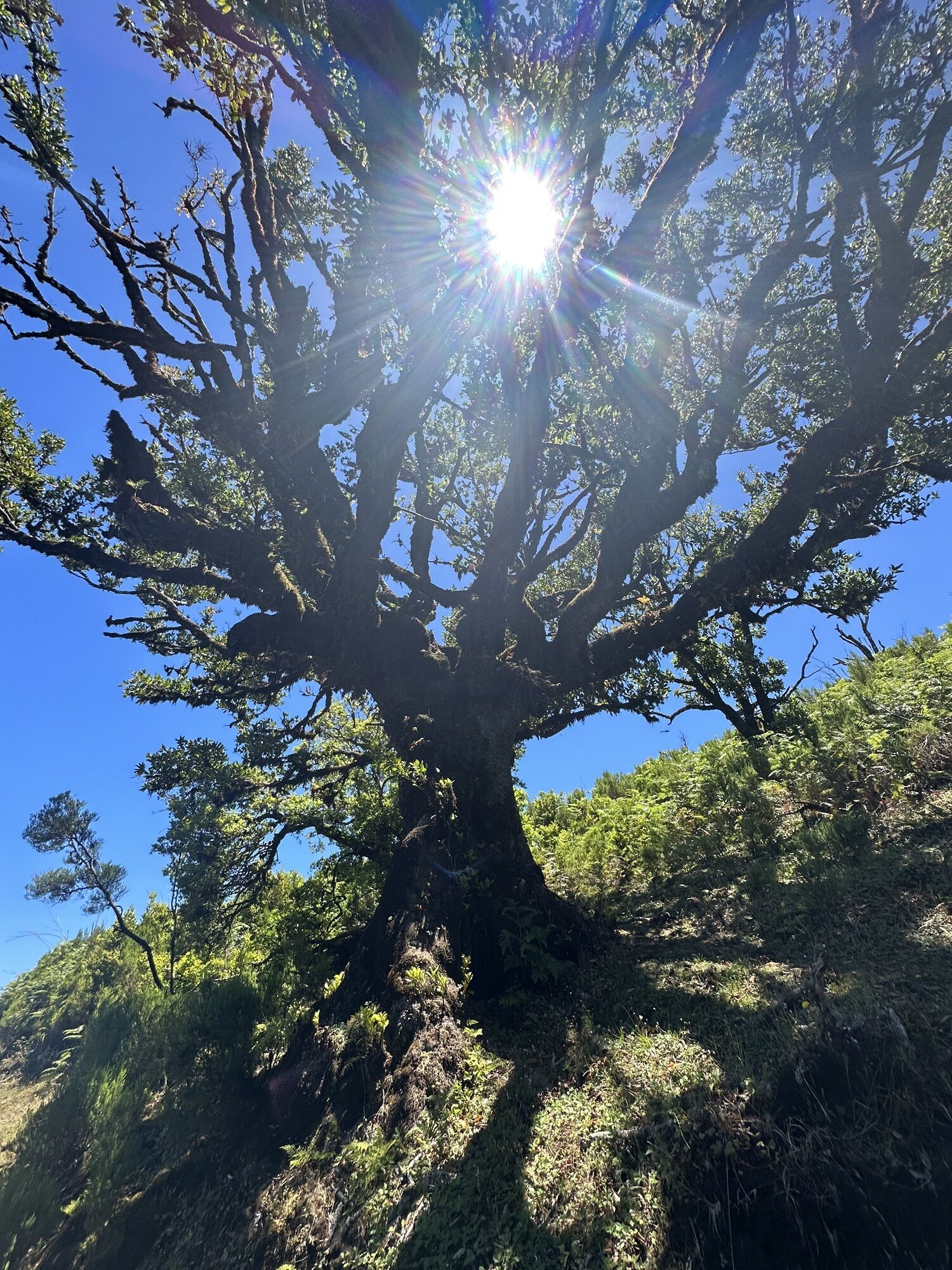
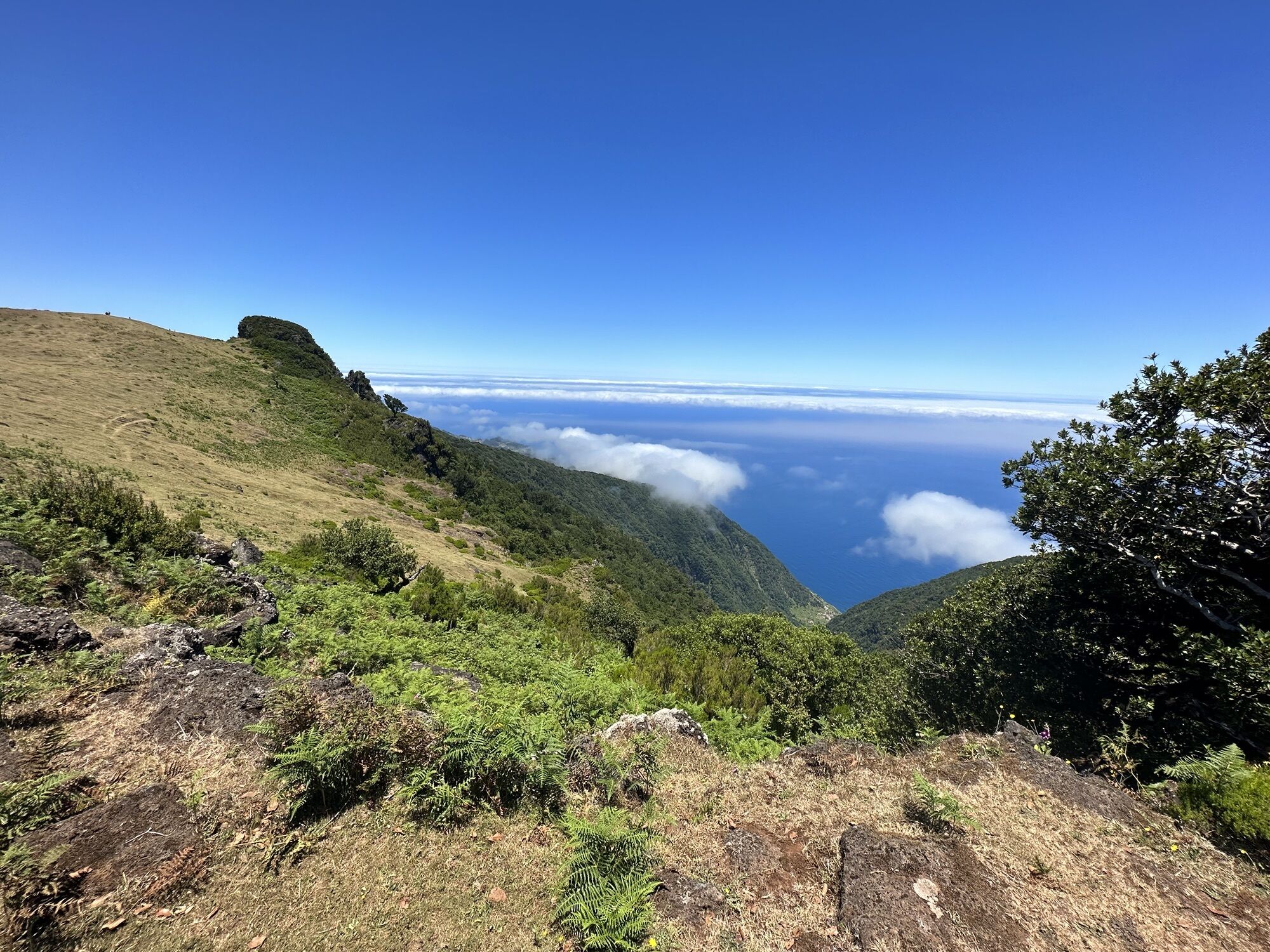
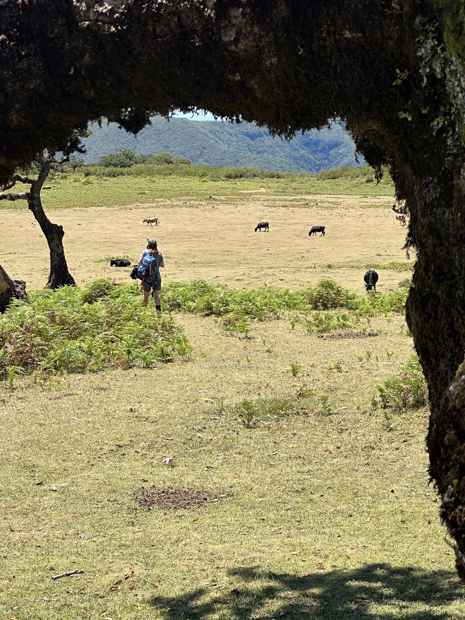
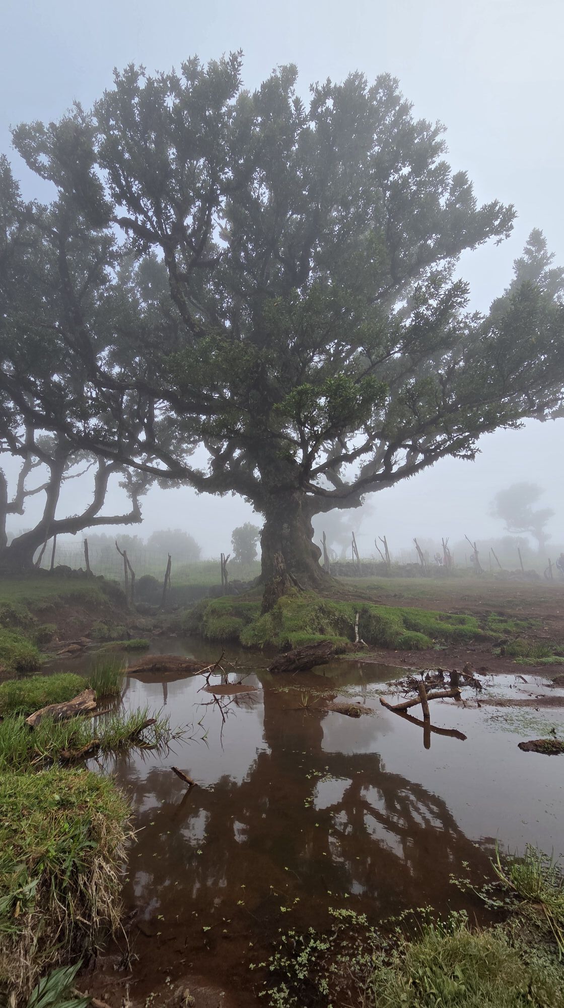
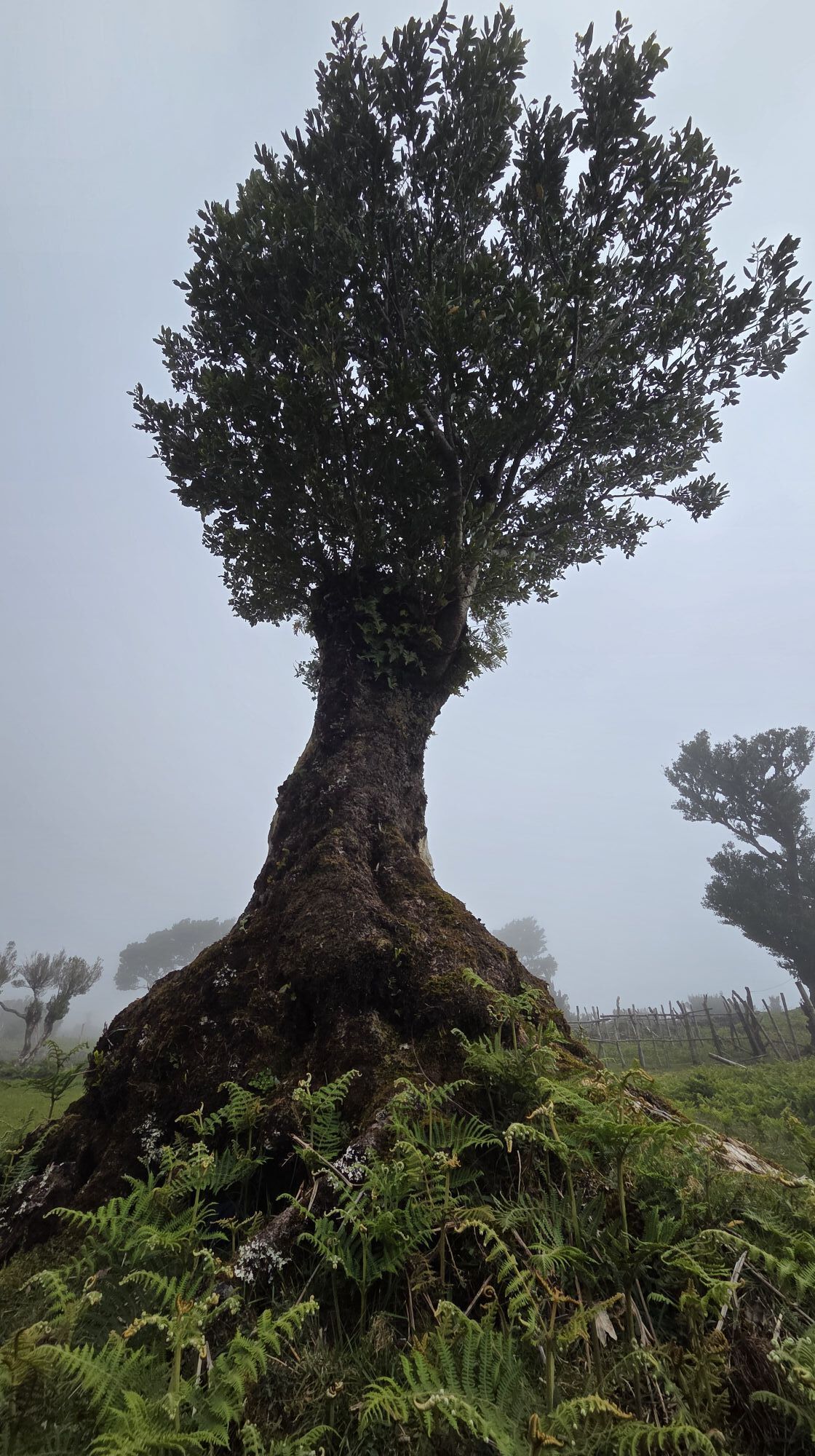
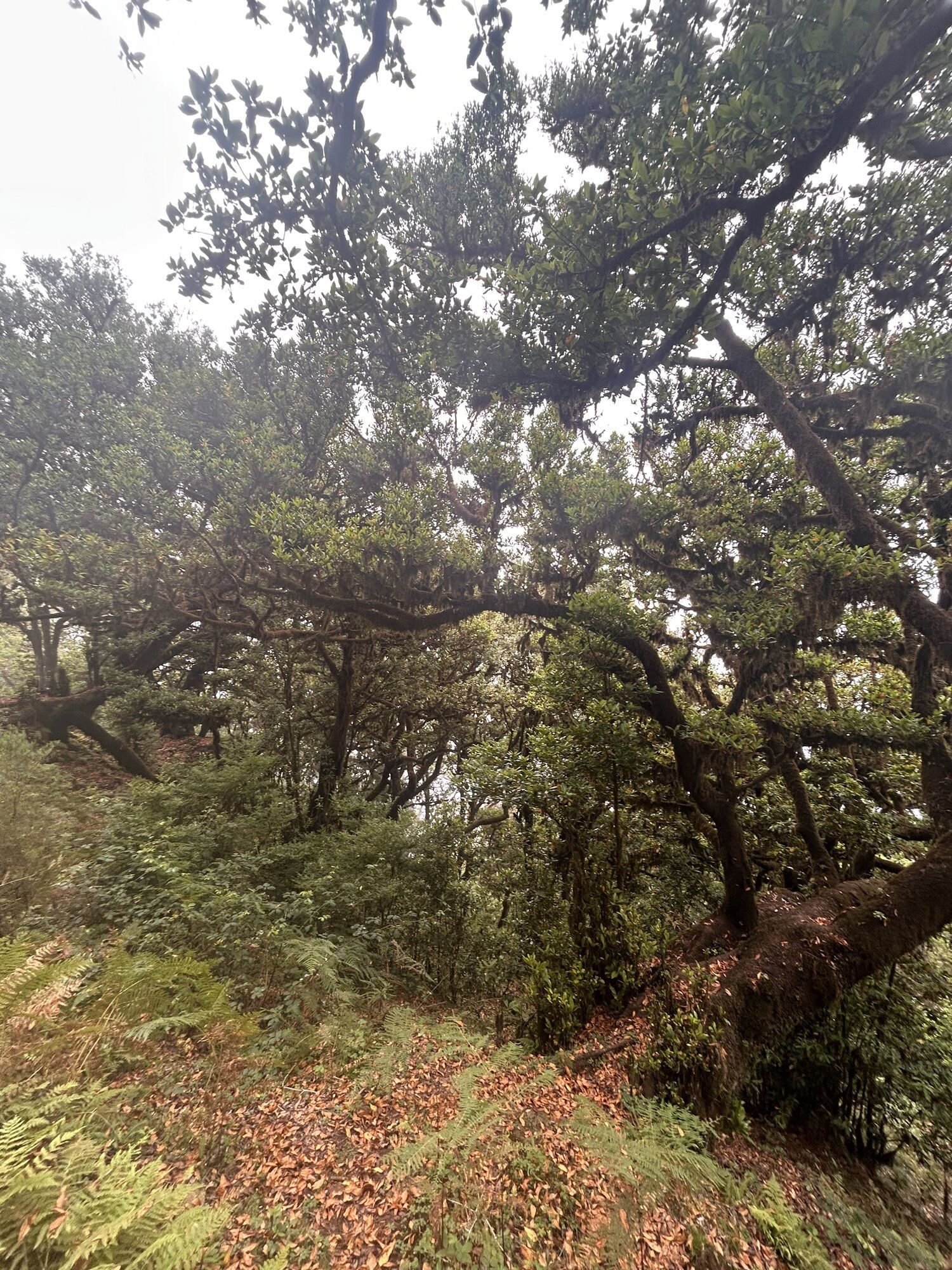
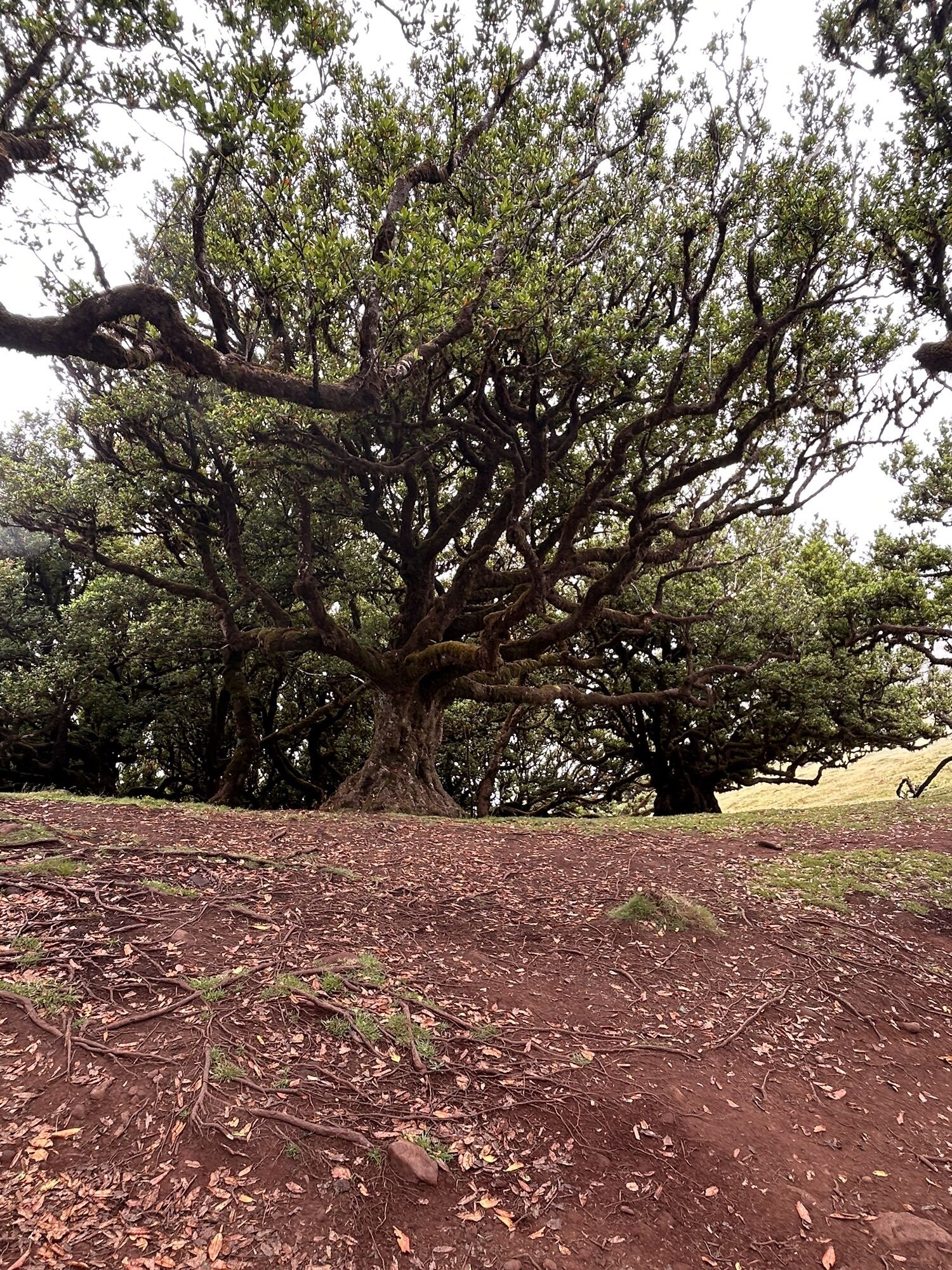
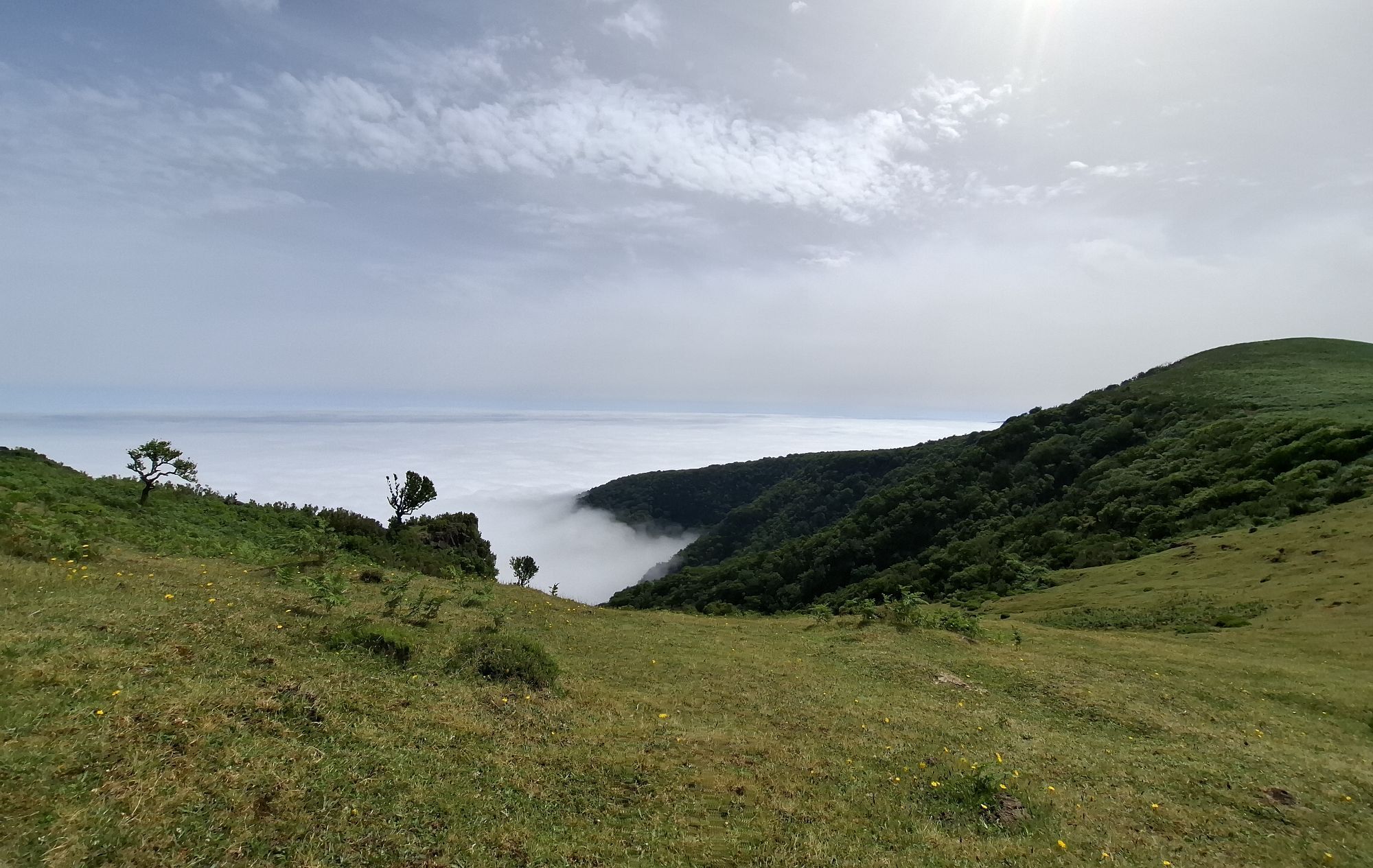
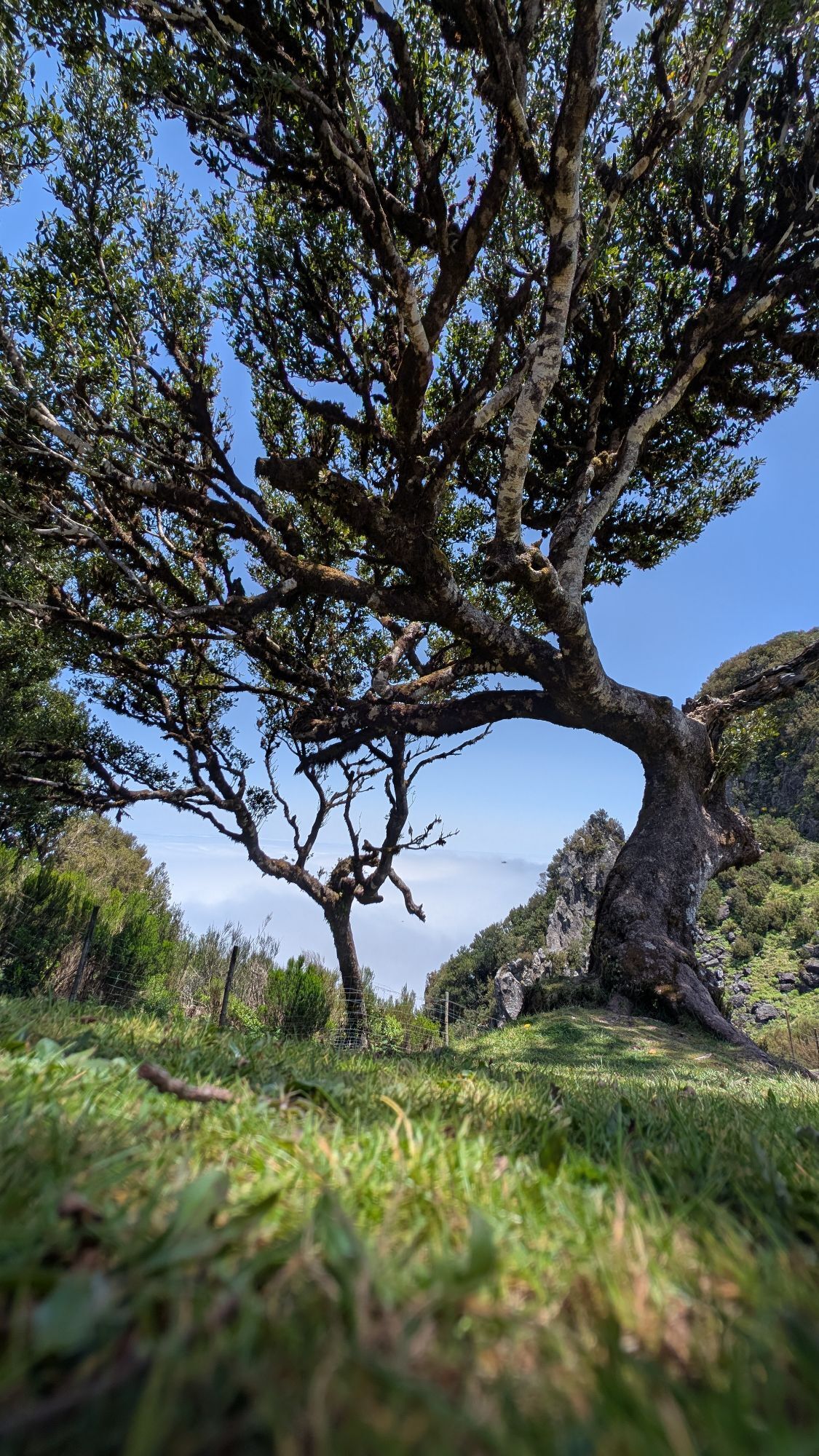
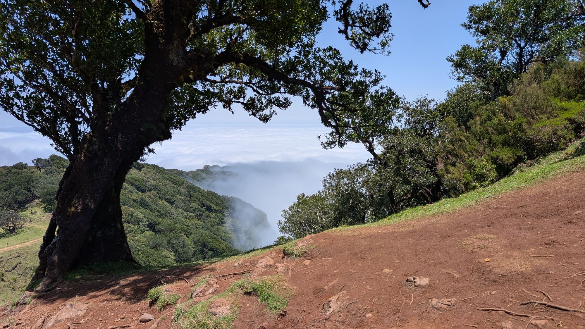
The trail takes you through enchanted forests, lush vegetation and up and down over rocks and roots, aswell as man made steps ending at the magnificent forest of Fanal.
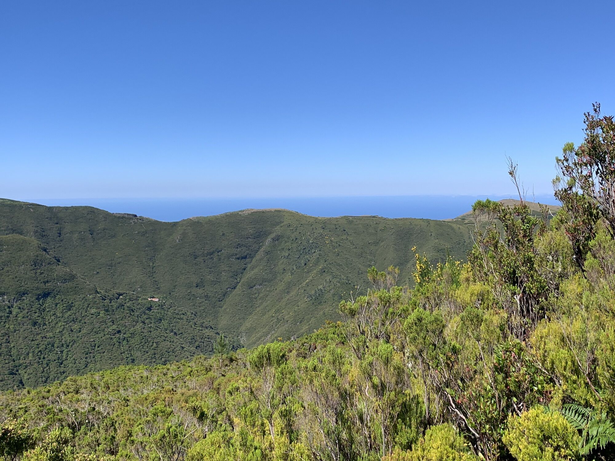
Along the way there are several viewpoints offering beautiful views over the valley of Ribeira da Janela and Chão da Ribeira.
The trail crosses or gets close to the road (ER209) several times, perfect for those who want to shorten the hike.
At some parts the trail opens up and allows for a good rest and some parts, where the vegetation closes in and almost overgrows the path.
Good shoes and enough water
Best way to get there is by car, taxi or organized hiking tour.
At the start there is a small parking lot for approximately 8-10 small cars and at the forest of Fanal there are plenty parking spaces.
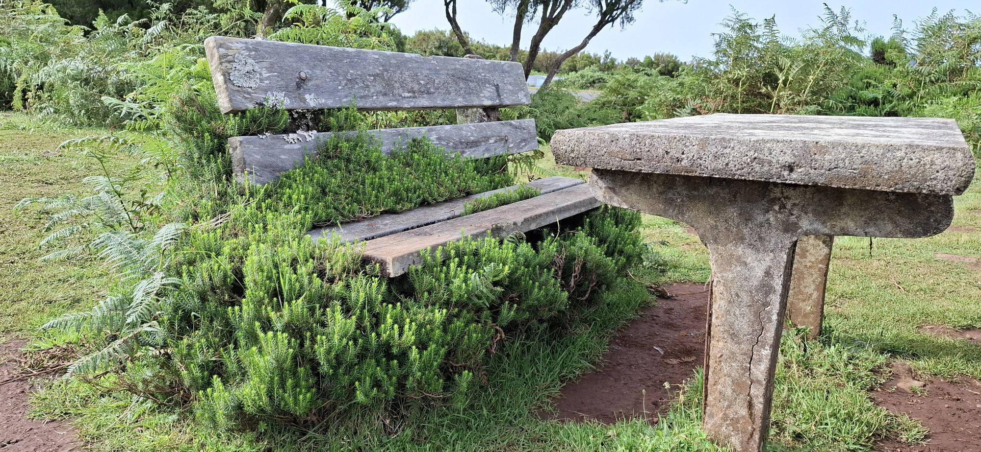
Take your time, enjoy the views and please leave no trace!
Aktivitäten entlang der Tour


Beliebte Touren in der Nähe
- 4,5
25 Fontes - mal anders
schwerWanderung 14,0 km - 4,6
Levada do Moinho und Levada Nova
mittelWanderung 9,70 km - 4,5
25 Quellen Levada
leichtWanderung 8,83 km - 4,7
Carreira - Igreja da Lombada - Lombada
mittelTrailrunning 8,25 km - 4,8
Ribeira da Janela, Madeira/Portugal
Wanderung 13,0 km - 4,4
Levada
leichtWanderung 8,21 km - 4,2
Calheta - Lagoa do Lajeado
leichtBergwandern 3,47 km - 3,5
Rundtour Rabacal zu den 25 Quellen über den Pico Fernandes
schwerWanderung 9,74 km Cross three peaks
schwerWanderung 11,2 km- 5,0
Fontes - Pico da Cruz - Fontes
mittelWanderung 10,1 km
Wandern & Tracking


Verpasse keine Angebote und Inspirationen für deinen nächsten Urlaub
Deine E-Mail-Adresse wurde in den Verteiler eingetragen.