







Von Biella nach Oropa durch das Cervo-Tal

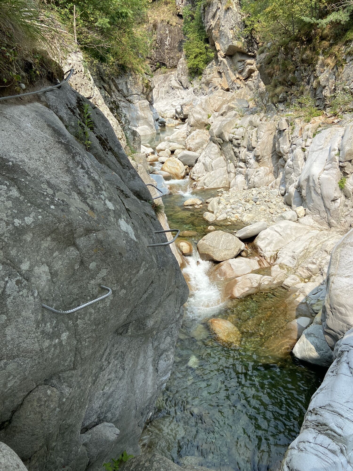
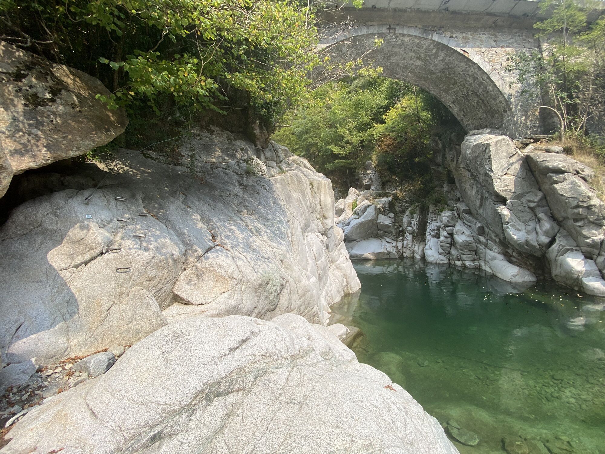
From the Local Tourist Office in Biella, in Piazza Vittorio Veneto 3, we start pedalling and at the first roundabout change direction to exit the city to head towards Tollegno skirting the right bank of...
From the Local Tourist Office in Biella, in Piazza Vittorio Veneto 3, we start pedalling and at the first roundabout change direction to exit the city to head towards Tollegno skirting the right bank of the River Cervo. This area is home to the old wool factories and Cittadellarte, artistic headquarters of Michelangelo Pistoletto, internationally acclaimed artist. The climb of Valle Cervo will begin, the valley characterised by the syenite quarries and, following the homonymous river, cross the village of Andorno, with its Rapa liqueur factory, famous for the historic cherry ratafia, then Sagliano Micca, birthplace of the hero Pietro Micca, military miner in the Savoy army of the 1700s, where it is possible to stop and visit the museum dedicated to him.
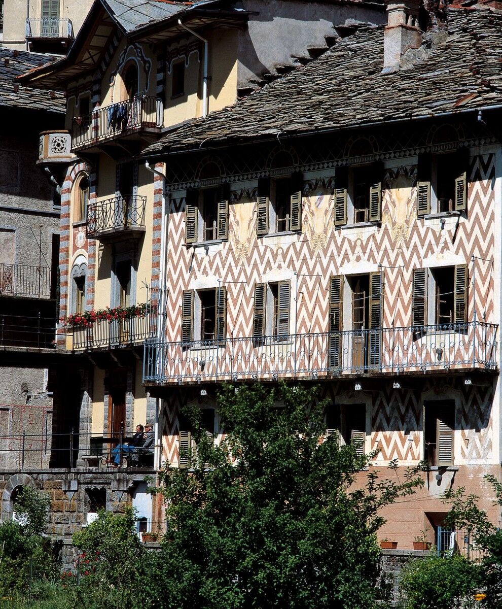
Then we meet the historic Cappellificio Valle Cervo and the rocky climbing wall of the Balma hamlet. You reach Campiglia Cervo with the town hall decorated by the coats of arms, to reach Rosazza, the "most mysterious village of Italy", full of architectural symbols, connected with fascinating mysteries! A visit to the Church, Castle and House Museum dedicated to mountain civilisation is recommended.
If the road as far as this point was uphill with a constant gradient and very few and short stretches, all easy to ride (18km with an average gradient of 3%) after passing through Rosazza, and before the bridge over the river, the deviation on the right takes us uphill in the direction of the Shrine of San Giovanni and tunnel which leads to Oropa. There are 9 demanding km with average gradient of 7.3% and with the last, short stretch of approximately 300 m also at 24% to do en danceuse!
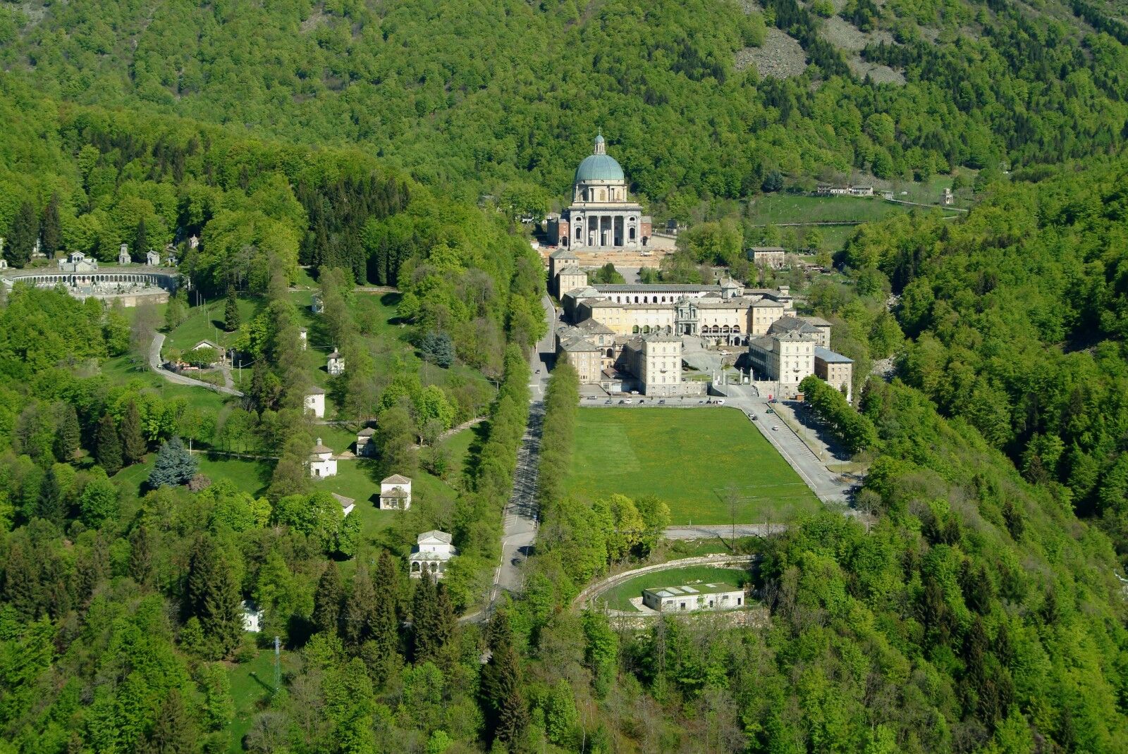
The climb to the tunnel of Rosazza skirts the third most important shrine of Biella, that of San Giovanni, the only shrine dedicated to San Giovanni Battista in Italy. You can stop for a break here (bar and restaurant and also the possibility to stay in its rooms); before continuing your climb. The entrance to the tunnel (CAREFUL equip yorself with lights for the crossing) and, first, the Locanda Oropa (bar and restaurant) will welcome you after the last stretch, the most demanding of the entire route!
Passed the tunnel, you will clear the hill at 1488 metres above sea level and continuing on a winding descent you reach the UNESCO site of Oropa (about 5 km). Don't forget to take a short break, at the exit of the tunnel, to admire the Shrine from above!
The Sacred Mount of Oropa, declared UNESCO heritage site in 2003, is inserted into a stunning natural amphitheatre at 1200 m above sea level and, together with the shrine, is considered the most important place of Marian devotion of the Alpine arc. After a well deserved stop to admire the beauty of this place, stop in one of its numerous bars and restaurants and perhaps admire the Black Madonna to which the Shrine is dedicated. Then, descend to the valley travelling thirteen exciting km of bends with stretches at 13%.
The famous climb, one of the Pantani climbs, starting from the city of Biella, which climbs to reach the Shrine, measures 13 km: there will be areas that can be pedalled and others that are more demanding. This is the climb of Pantani's legendary victory in 1999 which has stuck in the memory of many cyclists. The exciting comeback of the champion from Romagna, forced to stop for a jumping chain with the leading group launched towards the finish, was exciting.
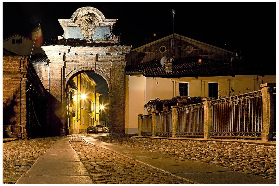
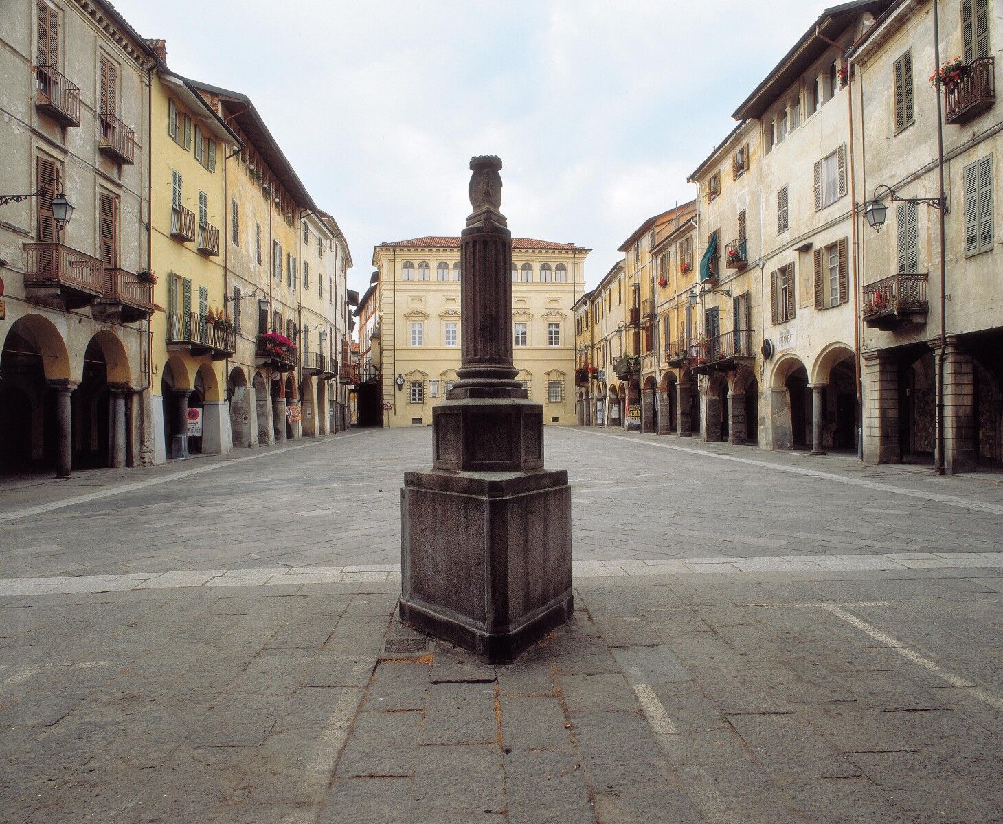
But before reaching Biella Piano in Bottalino, we will turn right and climb to Biella Piazzo, the oldest part of the city. Characterised by the medieval style of its lanes (BE CAREFUL: pebbled roads) and of its buildings, from the ancient shops and by bars with outdoor decks, after having crossed it, we will descend for the last section to Biella Piano to arrive in front of the Local Tourist Office, from where we took off 45 km ago!


Rosazza(BI)
Santiuaro di Oropa > Visit the site HERE
Beliebte Touren in der Nähe
SETTIMO VITTONE Colma di Mombarone von Trovinasse
mittelWanderung 3,92 kmDa Coumarial al rifugio Barma
mittelWanderung 7,31 km- 4,5
La Rosa Bianca - Il Gatto Azzurro - Oratorio di San Giovanni Battista - Piedicavallo
mittelWanderung 5,47 km Der Weg der Heiligtümer
mittelMountainbike 30,4 kmDas Tal des Wassers und Oasi Zegna
mittelRennrad 79,2 kmGTA: Tappa 27 Rifugio Rivetti - Santuario di San Giovanni d'Andorno
mittelWanderung 14,7 kmGTA: Tappa 26 Sant'Antonio di Val Vogna - Rifugio Rivetti
mittelWanderung 15,1 kmGTA: Tappa 29 Santuario di Oropa - Rifugio Coda
mittelWanderung 9,73 kmBec di Nona
schwerWanderung 22,8 kmCiclabile della Valsesia: Tappa 4 Scopello - Piode
schwerFernradweg 32,1 km
Wandern & Tracking


Verpasse keine Angebote und Inspirationen für deinen nächsten Urlaub
Deine E-Mail-Adresse wurde in den Verteiler eingetragen.





