






Moselsteig Trail Stage 10: Kesten/Osann-Monzel – Bernkastel-Kues

This stage takes you from the wine-making villages of Kesten and Osann-Monzel to historic Bernkastel-Kues. The trail passes impressive rocky cliffs with splendid visible layers of slate and crosses world-renowned...
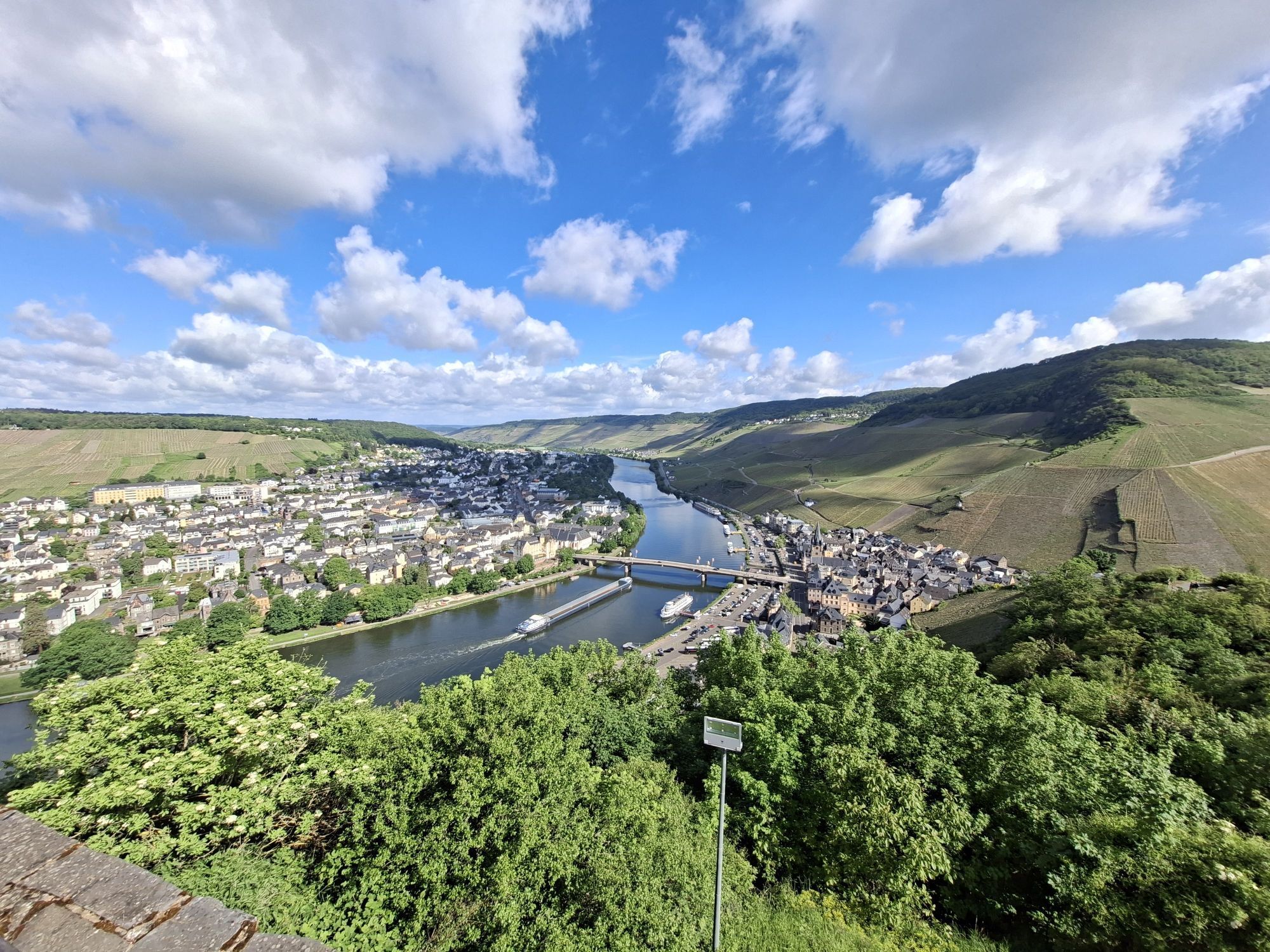
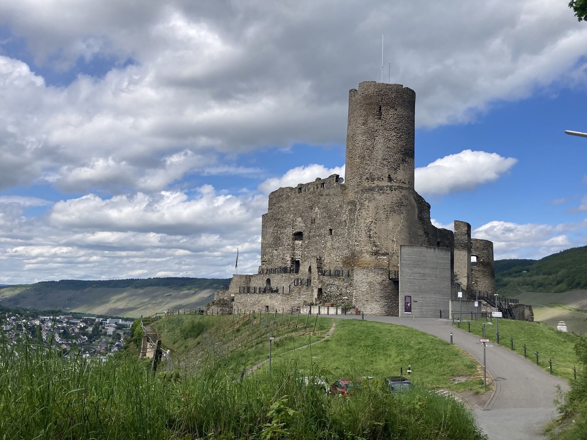
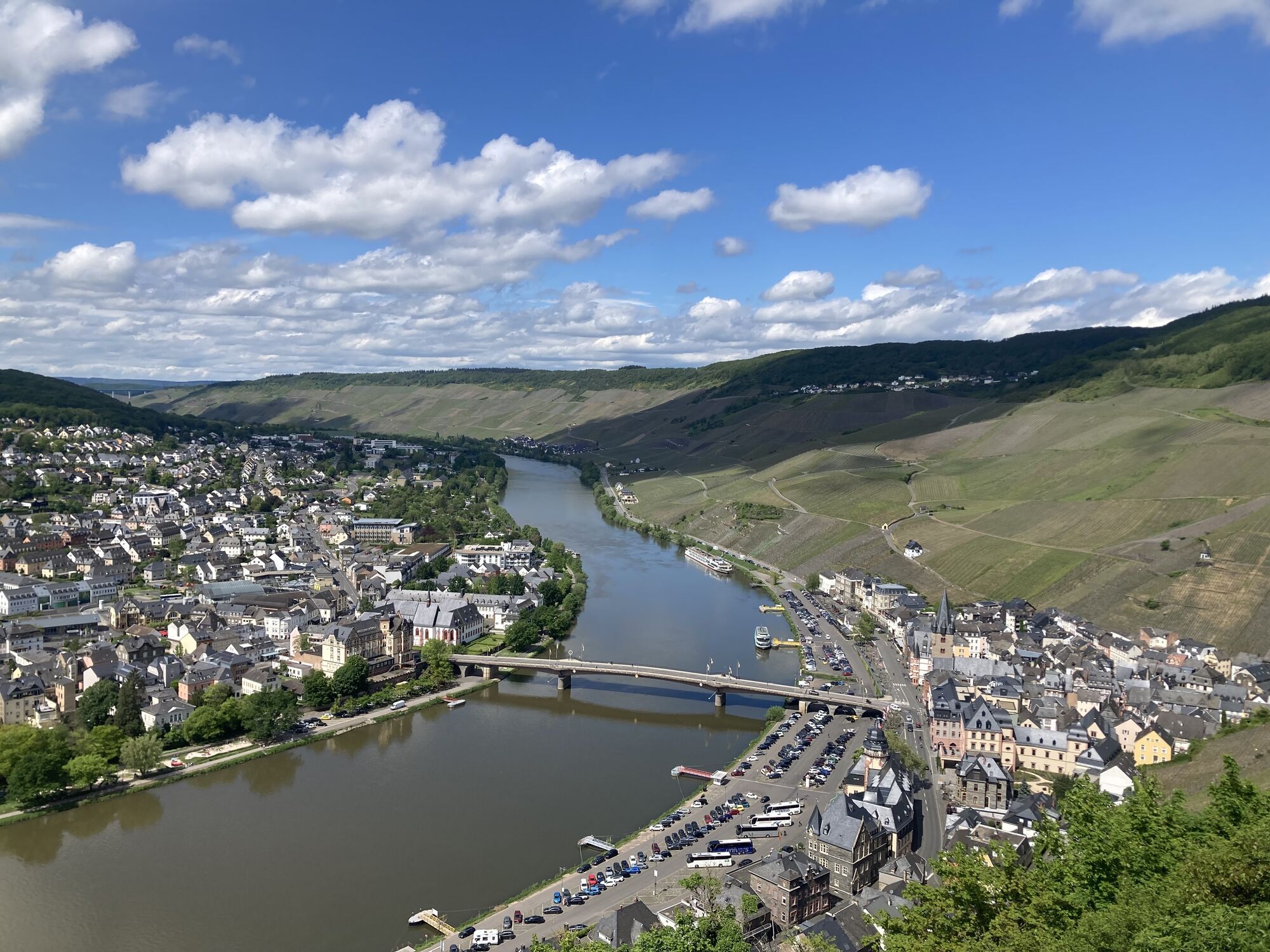
This stage takes you from the wine-making villages of Kesten and Osann-Monzel to historic Bernkastel-Kues. The trail passes impressive rocky cliffs with splendid visible layers of slate and crosses world-renowned vineyards, such as Braunberger Juffer. It then starts climbing steeply across the slope with occasional views of the Moselle. Along the way, a wealth of wonderful resting spots invite you to rest awhile and possibly refuel. Finally the trail brings you to Landshut Castle, which sits majestically high above Bernkastel-Kues and reveals an awe-inspiring view over the Moselle and the famous Moselle town, in the picturesque Old Town of which this stage ends.
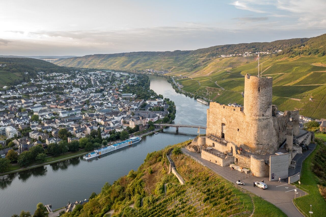
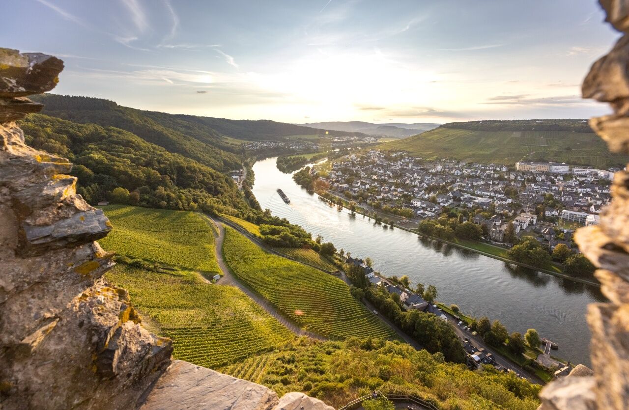
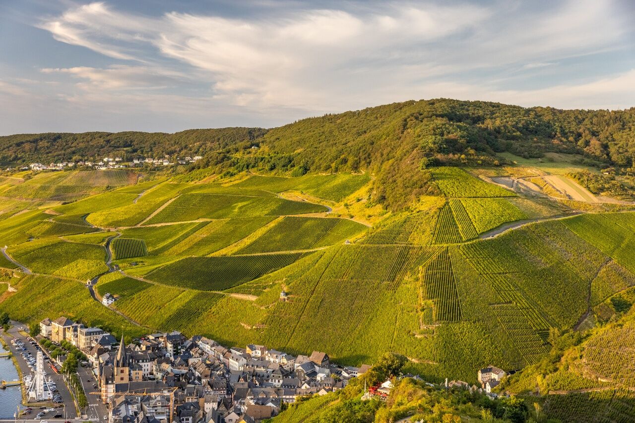

The starting point of this Moselsteig Trail leg is the St. Nikolaus church in Monzel. The access route to Kesten also joins here. Past several wineries you will first hike to the outskirts of the town. And immediately, you are in the midst of vineyards! Already on the gentle crest of the Brauneberg you hike to the viewing point Monzeler Kätzchen. From here, you have a view right to the destination of this leg, to Bernkastel-Kues. The trail changes from the crest to the highest slope road through the vineyards and consistently offers you exciting view of the Moselle Valley. Below the Kammerfelsen, rock slate comes right up to the path. Here you have the feeling of hiking almost perpendicular to the Moselle. Parallel to the ridge way, the Moselsteig Trail arrives at a small forest area and finally at the mountain hut on the Brauneberg with its many resting opportunities.
You then continue hiking on the top slope path, accompanied by slate rock on the left, and by steep vineyards on the right. Particularly striking is the vine-lined meander mountain on the other side of the Moselle. By the way, you now have a view of the entire Moselle Valley between Kesten and Bernkastel-Kues! The descent from Brauneberg passes through a forest, and after a short distance, over the access road to the Brauneberg, you will arrive at the bridge head of the Mülheimer bridge. From here, access routes branch off into the close-by wine-growing villages Maring-Noviand and Lieser. THE Moselsteig Trail continues on a foot path over the bridge, and you immediately find yourself in the Mülheim town centre.
Cross the road and you will reach the vineyards at then outskirts of the town. Here, the trail ascends to a resting place at the Helenenkloster (Helena Monastery). You have a view of Lieser, with a striking castle at its outskirts. The path continues relatively straight, accompanied by dense shrubs, through the flat ridge towards Bernkastel-Kues. When you have reached the side valley of the Goldbach (here, you can also hike to Andel on an access route), the Moselsteig Trail continues steeply uphill at the edge of the forest in the valley. In the forest, the trail continues to ascend, until you reach the Andeler barbecue hut - the perfect location for a refreshing break, before you approach Bernkastel, the destination of this leg. Also enjoy the wonderful view of the Moselle Valley!
The rest of the trail winds through the forest slope. Downhill, over a serpentine path you will arrive at steep towering slate rocks and the trail crosses a gorge cut stream valley. After a short section along the vineyard, a pretty view of the Moselle from the vineyard wall breaks the forest. The forest section ends at the St. Anna chapel. Bernkastel and the Landshut Castle are very close now, and the benches in front of the chapel invite you to take a break. On the front façade of the chapel, a large mosaic will catch our eye. A path leads to the access road to the castle, and then continues steeply uphill to the saddle above the town. From here, a detour to the castle is a great idea! You also reach the youth hostel or you can hike on the access route to Monzelfeld. The last section of this leg now takes you over a stepped path through the vineyards of the Burgberg, downhill to Bernkastel. After a few metres in the town, you will arrive at the medieval market place which is framed by half-timbered houses.
Leisure Map Moselsteig Trail – Map 2: Trier - Zell (Mosel) (Stages 5 - 14), ISBN: 978-3-89637-420-2
Sturdy hiking footwearAppropriate weatherproof hiking gearPicnic lunch
Starting point: Kesten and Osann-Monzel can be reached via the L 47, K 53 and K 134, for instance from the A 1 (Salmtal exit)
Destination: Bernkastel-Kues via the B 53
From Osann-Monzel (bus stop Friedhof) you can take bus line 301 to Bernkastel-Kues (bus stop Forum).
There are regular connections. Please note that during the school vacations in Rhineland-Palatinate / Saarland, at weekends and on public holidays, there may be restrictions on the frequency! Please check the daily timetable on the website of the Verkehrsverbund Region Trier (VRT):
Osann-Monzel: Small car park on Moselstraße directly adjacent to the Moselsteig Trail
Kesten: Moselstraße at the bus stop (0.9 km walk to the Moselsteig Trail)
Bernkastel-Kues: Large car park on the bank of the Moselle (pay car park during the peak season)
Hol dir den Einblick
Immer live vor Ort mit über 9.500 Webcams. In der Touren App von bergfex siehst du als Pro-User jetzt zu vielen Touren die passenden Webcams. So kannst du dir direkt die aktuellen Bedingungen ansehen.
Beliebte Touren in der Nähe
-
5,0
Traumschleife Hunolsteiner Klammweg
schwerWanderung 11,9 km -
5,0
Moselsteig Etappe 11: Bernkastel-Kues - Ürzig
mittelFernwanderweg 17,1 km -
4,7
Sterntour rund um Bernkastel-Kues - Tour 2: Rundtour auf dem Mosel-Radweg über Trittenheim nach Bernkastel-Kues
leichtRadfahren 57,0 km -
Moselsteig (Gesamtstrecke). Dein Weg, mehr zu erleben.
mittelFernwanderweg 348,8 km -
5,0
Moselsteig Seitensprung Graf Georg Johannes Weg
mittelWanderung 14,1 km -
4,5
Moselsteig Etappe 12: Ürzig – Traben-Trarbach
mittelFernwanderweg 15,1 km -
4,0
Moselsteig Seitensprung Leiermannspfad
mittelWanderung 10,9 km -
5,0
Moselsteig Etappe 13: Traben-Trarbach – Reil
mittelFernwanderweg 15,3 km -
4,0
Mosel-Radweg (Gesamtstrecke): Von Perl bis Koblenz
schwerFernradweg 247,9 km -
5,0
Traben-Trarbach - Bernkastel en terug
mittelWanderung 17,2 km

Wandern & Tracking


Verpasse keine Angebote und Inspirationen für deinen nächsten Urlaub
Deine E-Mail-Adresse wurde in den Verteiler eingetragen.





