







River Tour between Nahe and Glan

The tour, which starts at the train station in Fischbach-Weierbach and leads through the gemstone country and the municipality of Baumholder, connects the Nahe and Glan rivers and offers views as far as...
The tour, which starts at the train station in Fischbach-Weierbach and leads through the gemstone country and the municipality of Baumholder, connects the Nahe and Glan rivers and offers views as far as Saarland, the Hunsrück-Hochwald National Park and the Palatinate Mountains. In between, the route offers plenty of ups and downs to gain metres of altitude in the low mountain landscape of the Hunsrück-Nahe bike region. The military training area on the high plateau near Baumholder, the rock formations on the Nahe and the rock church above Idar-Oberstein are exceptional eye-catchers.
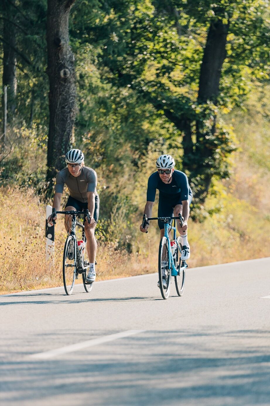


From the starting point of the tour in Fischbach Weierbach, the route follows the Nahe cycle path through the floodplain towards Kirn. The route leads through extensive fields and wooded areas. A few climbs await before Limbach and between Löllbach and Homberg. Along the Glan and past the historic St. Julian oil mill, the route climbs steadily uphill past the military training area to Baumholder. After a few kilometres, the last notable climb awaits you to the highest point of the tour shortly after Ruschberg. From here it is not far into the Nahe valley, where the tour continues below Frauenburg Castle on the Nahe cycle path to Idar-Oberstein. Passing impressive rock formations, the starting point is quickly reached from there.
HelmetMobile phone with full batteryCash, ID cardNavigation device, mapsAir pump / compressed air cartridgeSpare inner tubeSufficient beveragesEnergy bar / gelWind / rain jacket
Observe the traffic rules, pay attention to other road users and drive at an appropriate speed, especially in the exits. Be considerate of other cyclists and pedestrians.
Fischbach-Weierbach can be reached by car via the B270 or the B41, which connect the town to the federal motorway network: The nearest motorway junctions are the A61 exit Dreieck Nahetal (Bad Kreuznach), the A62 exit Birkenfeld and the A6 exit Kaiserslautern Ost.
An der Strecke Mainz-Saarbrücken gelegen, erreicht man Fischbach-Weierbach auch mit dem Zug.
Parking spaces at Fischbach-Weierbach station.
If you need to cool off on the way, take a quick dip in the swimming pond in Baumholder.

Beliebte Touren in der Nähe
- 4,0
Traumschleife "Nahe-Felsen-Weg"
schwerWanderung 8,98 km - 4,5
Fritz-Wunderlich-Radweg
mittelRadfahren 26,1 km - 5,0
Traumschleife Bärenbachpfad Baumholder
mittelWanderung 15,2 km - 5,0
Glan-Blies-Radweg | Waldmohr - Staudernheim
mittelFernradweg 74,9 km Lautertal-Radweg
leichtRadfahren 36,1 km- 5,0
Potzberg Wanderweg
mittelWanderung 14,7 km Glan-Blies-Radweg | Familientour »Störche,Kirchen & Draisinen«
leichtRadfahren 32,4 kmGlan-Blies-Radweg - Etappe 4 (Ulmet - Meisenheim)
leichtFernradweg 26,2 kmRad-Wirtschaftsweg an der B270: Verbindung zwischen Nahe- und Glan-Blies-Radweg
mittelRadfahren 23,9 km- 5,0
Nordic Walking Tour 1 und Stadtweiher.
leichtWanderung 5,96 km
Wandern & Tracking


Verpasse keine Angebote und Inspirationen für deinen nächsten Urlaub
Deine E-Mail-Adresse wurde in den Verteiler eingetragen.





