






Lahnwanderweg stage 17 upstream Obernhof - Balduinstein
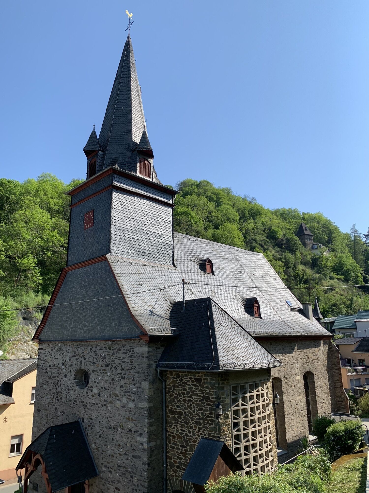
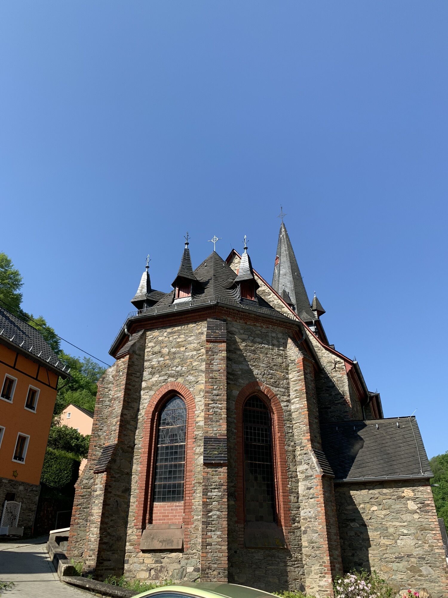
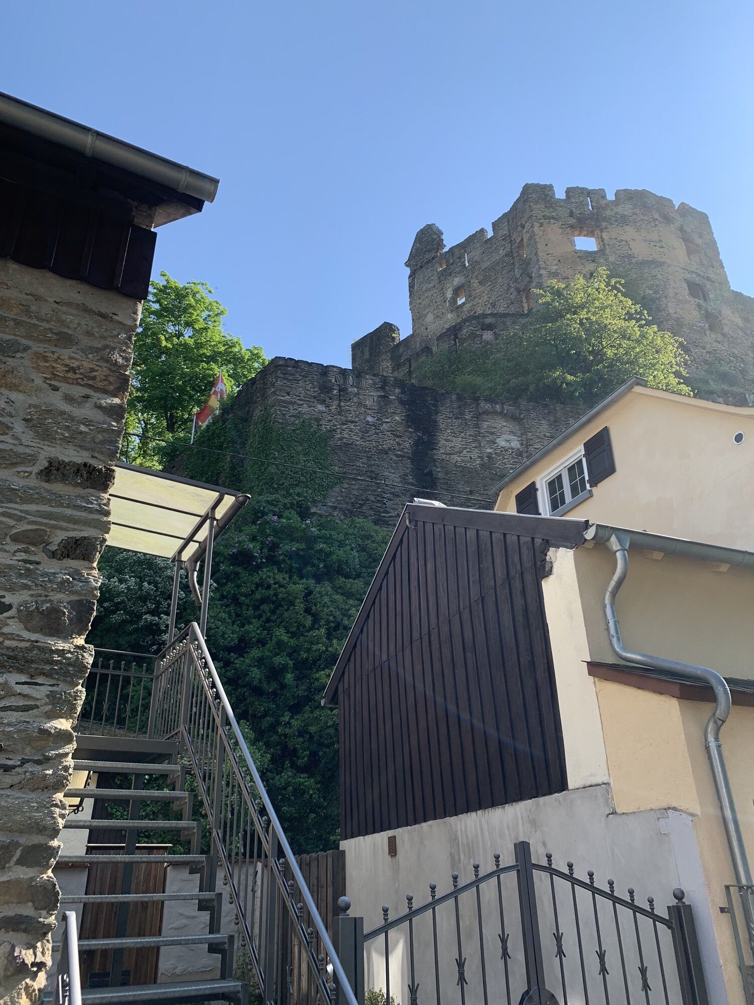
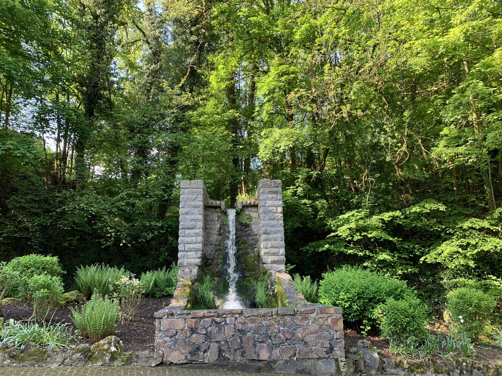
It’s all there, in this stage: woodlands and wine, sporty ascents and descents, wonderful views such as Goethepunkt, Wolfslei or Gabelstein and lonely valley cuts. In the communities of Balduinstein and...
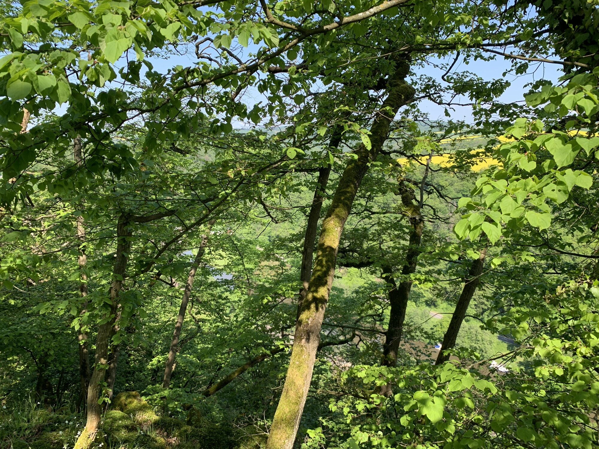
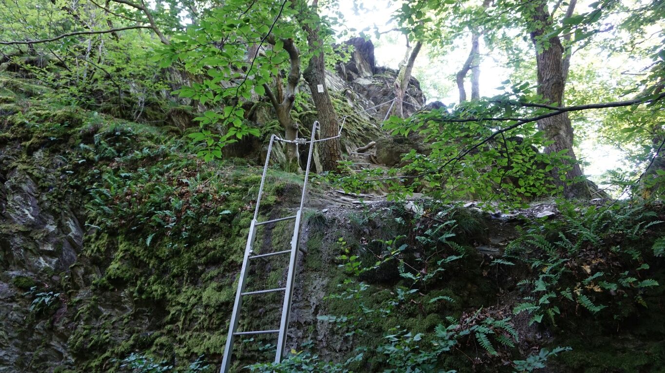
It’s all there, in this stage: woodlands and wine, sporty ascents and descents, wonderful views such as Goethepunkt, Wolfslei or Gabelstein and lonely valley cuts. In the communities of Balduinstein and Laurenburg, castles are enthroned high up on the slope. All of this will make some hikers’ hearts beat faster! The stage is quite sporty as there will be some parts where climbing is required. Hence you should make sure to manage your energy well. Over rocks that are partly secured by ropes, you will climb along a ridge. A head for heights and surefootedness are required but you can also choose an easy alternative that doesn’t include climbing.

A viewing plateau at Goethepunkt awaits you with a spectacular vista. From then on, the trail leads us quietly and idyllically through the forest, over meadow ways and past rock formations to the Wolfslei. After a panoramic rest, we will hike across the Flotationshalde further down to Laurenburg.
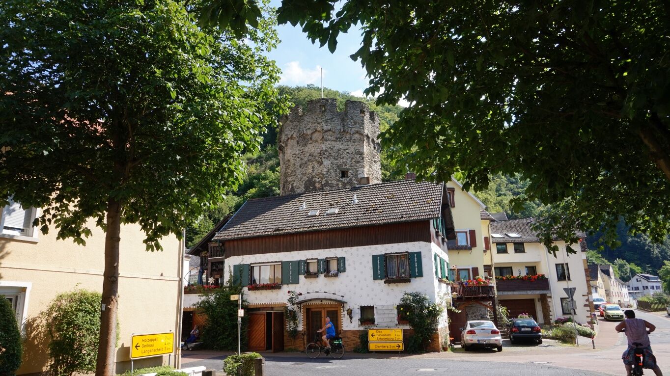
In Laurenburg you will cross the river Lahn. On the other side of the Lahn, the trail continues through the forest and zigzags down to the Ruppachbrücke. A sporty ascent is waiting for you to get in the direction of Steinsberg. Through the Höllenloch the trail leads to the refuge at the Gabelstein where another impressive view is waiting for you.
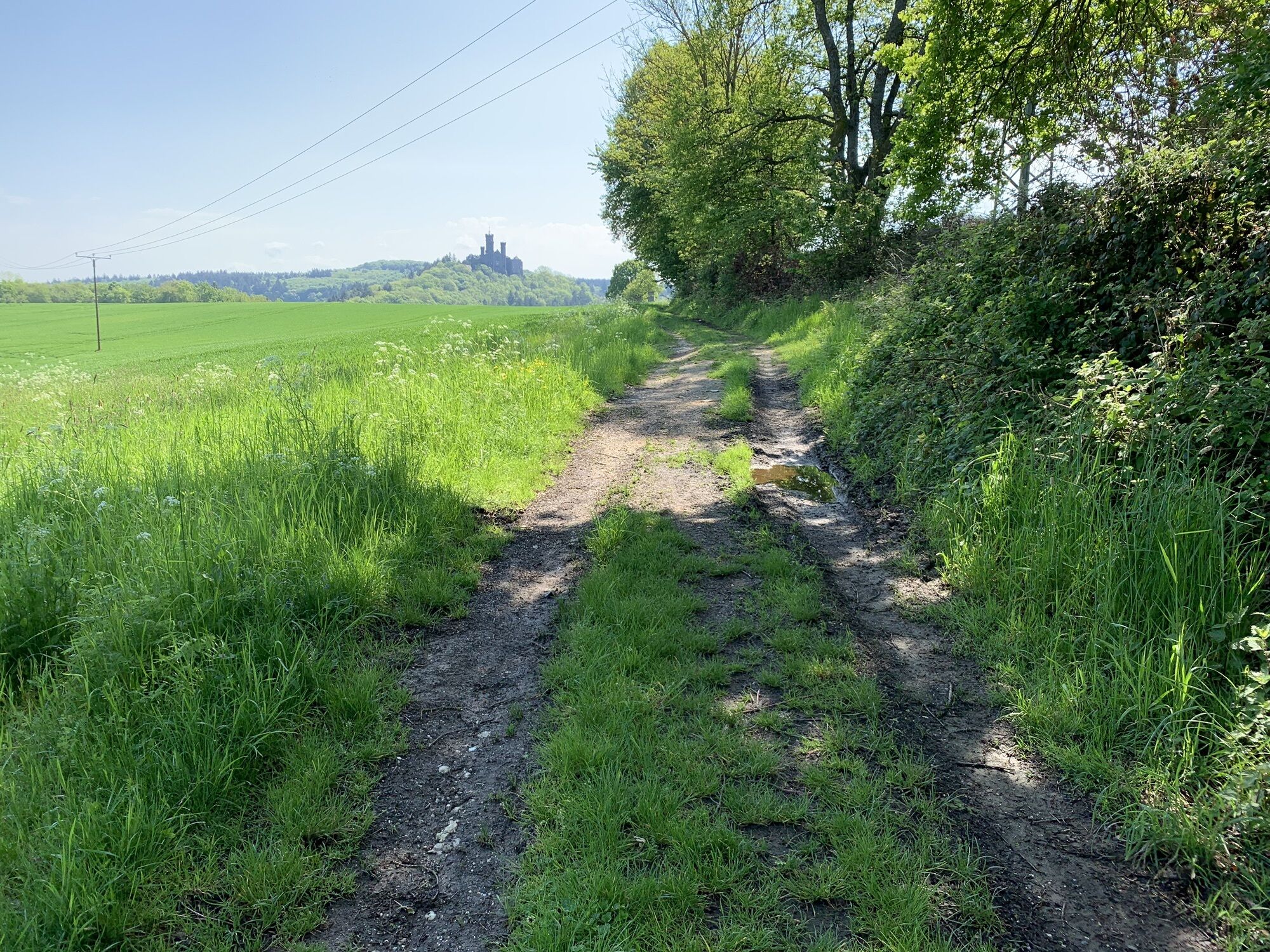
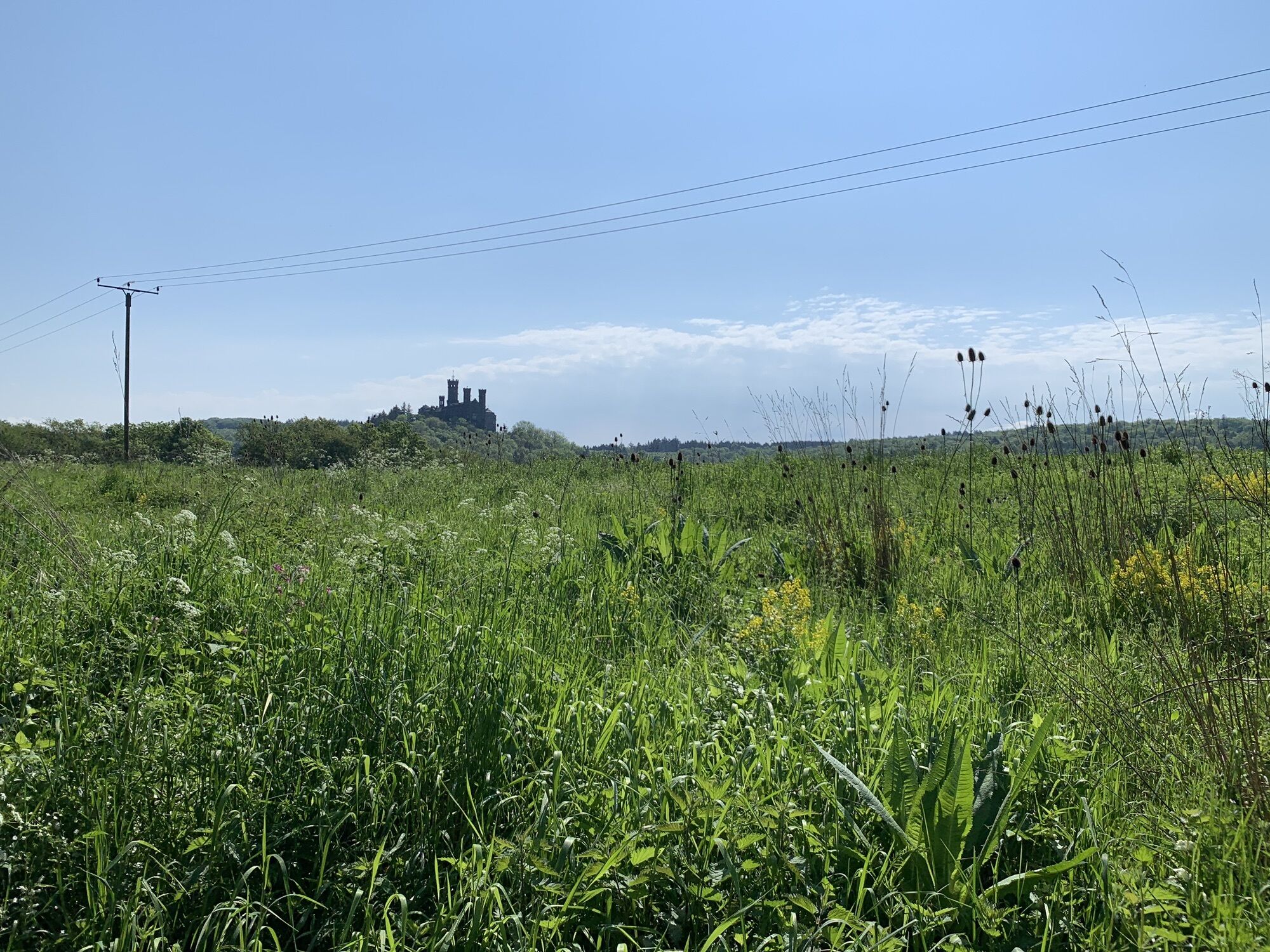
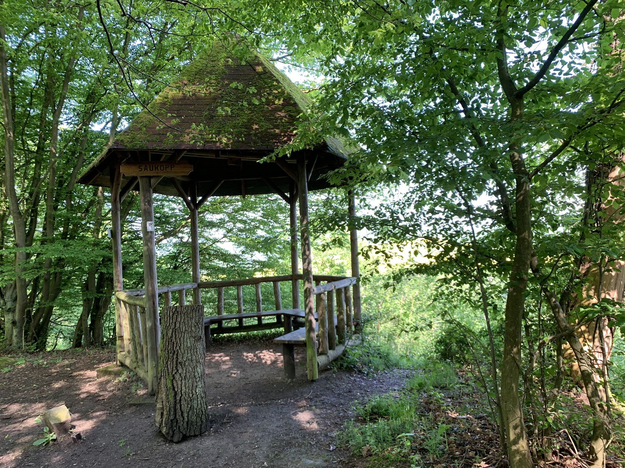
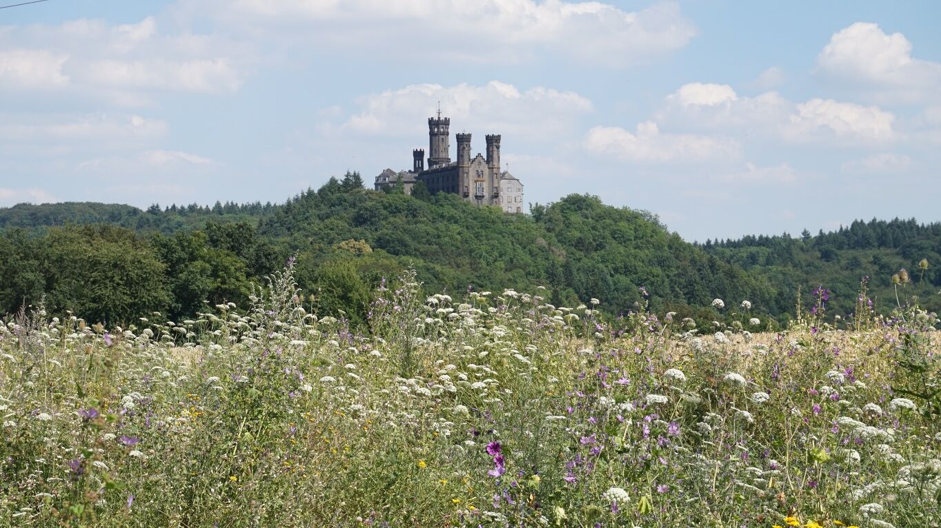
After leaving the forest of the Gabelstein-Hölloch nature reserve, the majestic Schaumburg castle appears. At the Saukopp you will have one last chance to have a gigantic view of the Lahnschleife after which the way leads down to Balduinstein. Restaurants and cozy pubs are waiting for you and invite you to stop for a bite to eat.
Possibly hiking sticks for two steep ascents respectively descents. Apart from that only ordinary hiking equipment is required. Take backpack vespers and drinks with you.
For information on diversions and relocations, please see our "Current Information".
Information on restrictions in the rail network can be found here.
A3 exit Limburg-Nord, B417, K26 to Balduinstein, K25 from Balduinstein to Holzappel, B417 to Obernhof
Balduinstein, riverside of Lahn
You will find several possibilities to stop for a refreshment in Laurenburg. If you prefer taking it easy and slowly, split the route and stay in Laurenburg overnight. By then you will have managed a distance of about 10 km.
Beliebte Touren in der Nähe
-
4,7
LahnWeinSteig
schwerWanderung 11 km -
4,5
Lahnwanderweg 16. Etappe flussaufwärts Balduinstein - Diez - Limburg
schwerWanderung 14,0 km -
4,0
Lahnwanderweg 18. Etappe Obernhof– Bad Ems
schwerWanderung 19,4 km -
4,0
Lahnwanderweg 17. Etappe flussaufwärts Obernhof - Balduinstein
schwerWanderung 19,4 km -
4,0
Schönborner-Wetter-Lehrpfad, Route 1 (rot)
mittelThemenweg 8,82 km -
Lahnradweg 7. Etappe Limburg/Diez – Nassau
mittelRadfahren 34,2 km -
5,0
S8 Rundweg
leichtWanderung 12,2 km -
Kanutour Lahn von Limburg bis Laurenburg
mittelKajak / Kanu 27,0 km -
5,0
Von Nassau über Winden nach Dies und ein Stück Gelbachhöhen-Tour
mittelE-MTB 28,7 km -
Von Nassau durch das Mühlbachtal
mittelE-MTB 21,9 km
Wandern & Tracking


Verpasse keine Angebote und Inspirationen für deinen nächsten Urlaub
Deine E-Mail-Adresse wurde in den Verteiler eingetragen.





