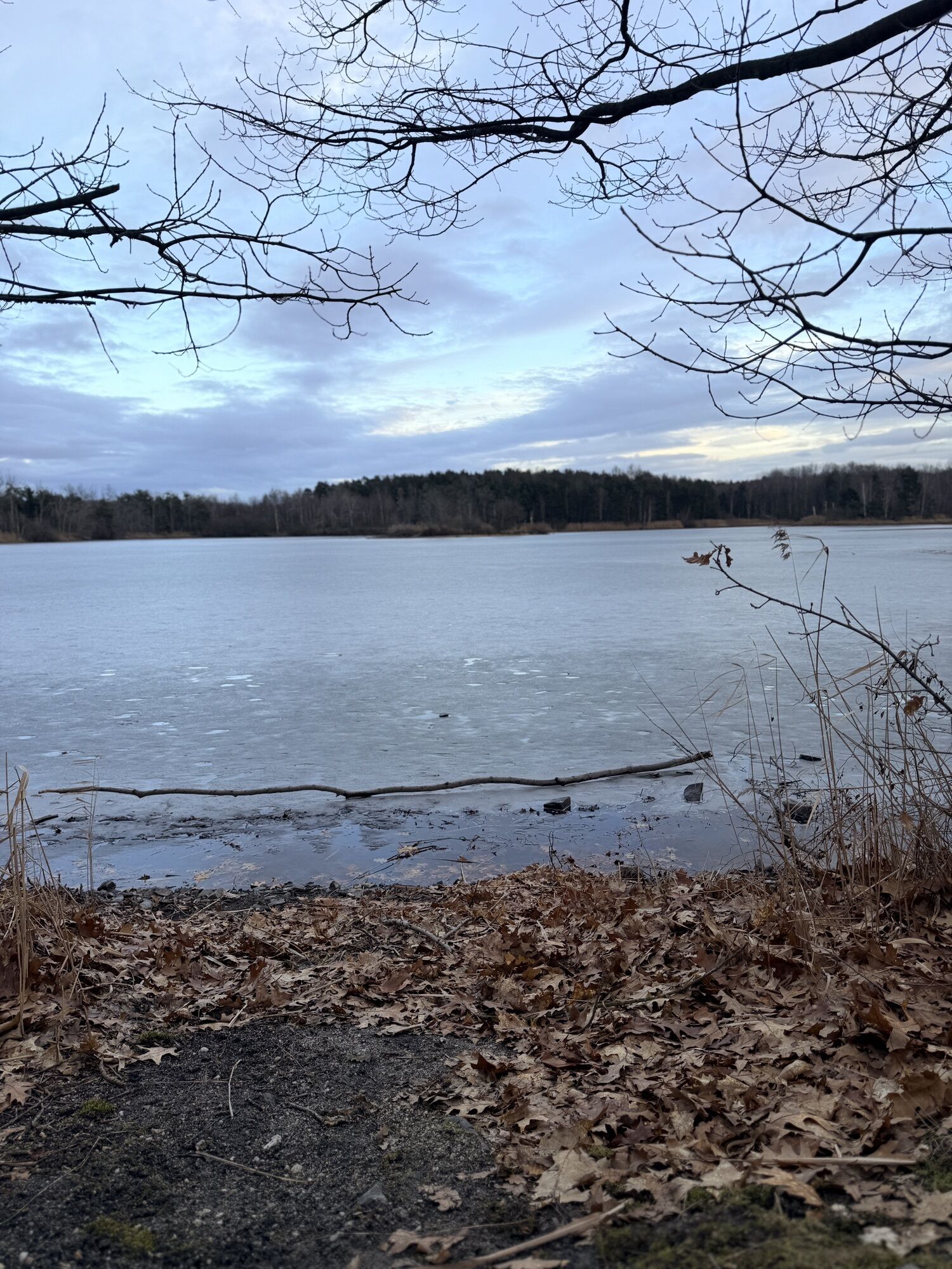
Niesky / Niska - Gasthof Am Markt - Kirche Diehsa - Kirche Kollm
mittel
Hol diese Tour auf dein Handy
Niesky / Niska - Gasthof Am Markt - Kirche Diehsa - Kirche Kollm
mittel
Radfahren
39,59
km
QR-Code scannen und Navigation in der bergfex App beginnen

Wandern & Tracking


Niesky / Niska - Gasthof Am Markt - Kirche Diehsa - Kirche Kollm
mittel
Distanz
39,59
km
Dauer
02:45
h
Aufstieg
343
hm
Seehöhe
152 -
191
m
Track-Download
Niesky / Niska - Gasthof Am Markt - Kirche Diehsa - Kirche Kollm
mittel
Radfahren
39,59
km
Wegverlauf
Bürgerhaus Niesky
(180 m)
Restaurant
0,6 km
Niesky
(172 m)
Stadt
1,2 km
Kirche Diehsa
(173 m)
Andachtsstätte
8,8 km
Kirche Kollm
(171 m)
Andachtsstätte
12,3 km
Niesky
(172 m)
Stadt
23,9 km
Sproitz
(154 m)
Dorf
28,6 km
Niesky
(172 m)
Stadt
38,3 km
Wegverlauf
Niesky / Niska - Gasthof Am Markt - Kirche Diehsa - Kirche Kollm
mittel
Radfahren
39,59
km
Niesky
(176 m)
Bahnhof
0,0 km
Bürgerhaus Niesky
(180 m)
Restaurant
0,6 km
Niesky
(172 m)
Stadt
1,2 km
Gasthof Am Markt
(171 m)
Restaurant
8,7 km
Diehsa
(176 m)
Dorf
8,7 km
Kirche Diehsa
(173 m)
Andachtsstätte
8,8 km
Kollm - Chołm
(169 m)
Dorf
12,2 km
Kirche Kollm
(171 m)
Andachtsstätte
12,3 km
Diehsa
(176 m)
Dorf
16,8 km
Niesky
(172 m)
Stadt
23,9 km
See
(161 m)
Dorf
26,2 km
Sproitz
(154 m)
Dorf
28,6 km
Hintersproitz
(157 m)
Siedlung
32,2 km
See
(161 m)
Dorf
35,5 km
Niesky
(172 m)
Stadt
38,3 km
Bürgerhaus Niesky
(180 m)
Restaurant
38,8 km
Niesky
(176 m)
Bahnhof
39,6 km
Noch keine Bewertungen
Beliebte Touren in der Nähe
- 4,3
Königshainer Berge
leichtWanderung 4,48 km Naturerlebnispfad Guttauer Teiche - přirodna wučbna šćežka podłu Hućinjanskich hatow
leichtWanderung 5,37 kmDorfspaziergang Guttau/Wartha - pućuwanje přez wjes
leichtWanderung 8,93 kmNeisseland AktivTour
mittelRadfahren 197,1 kmThe twin cycle path
mittelRadfahren 274,9 kmFischerei-Erlebnispfad Rietschen
leichtWanderung 1,40 kmVia Sacra von Kodersdorf nach Görlitz
Pilgerweg 18,0 kmVia Sacra - von Sohland am Rotstein bis Kodersdorf
Pilgerweg 25,2 kmFelsen.Mühlen.Pfefferkuchen
leichtWanderung 11,1 kmNiederspreer Teichgebiet
leichtRadfahren 37,3 km
Wandern & Tracking

Über 550.000 Tourenvorschläge, detailliertes Kartenmaterial und ein intuitiver Routenplaner machen die App zum Must-have für alle Naturbegeisterten.

Verpasse keine Angebote und Inspirationen für deinen nächsten Urlaub
Zum Newsletter anmelden
Fehler
Ein Fehler ist aufgetreten. Bitte versuche es erneut.Vielen Dank für deine Anmeldung
Deine E-Mail-Adresse wurde in den Verteiler eingetragen.
Touren in ganz Europa
Österreich Schweiz Deutschland Italien Slowenien Frankreich Niederlande Belgien Polen Liechtenstein Tschechien Slowakei Spanien Kroatien Bosnien und Herzegowina Luxemburg Andorra Portugal Island Vereinigtes Königreich Irland Griechenland Albanien Nordmazedonien Malta Norwegen Montenegro Moldau Kosovo Ungarn San Marino Rumänien Estland Lettland Belarus Zypern Litauen Serbien Bulgarien Monaco Dänemark Schweden Finnland