






From Pirna to Krippen
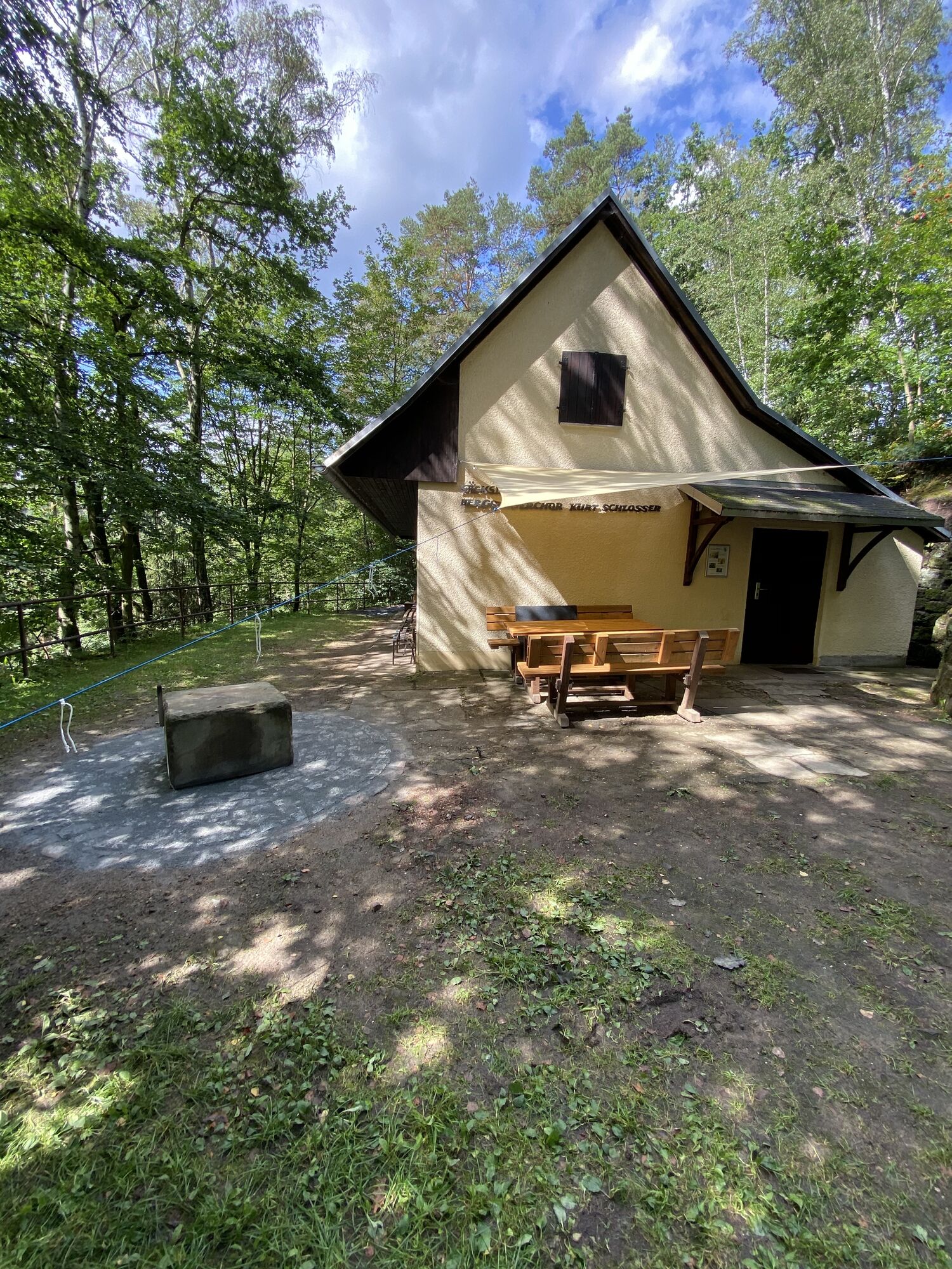
The starting point is Pirna railway station. From here, drive to the B172, then turn left to Clara-Zetkin-Straße. Continue straight ahead on Rottwerndorfer Straße to Neundorf. Here you follow the Gottleuba...
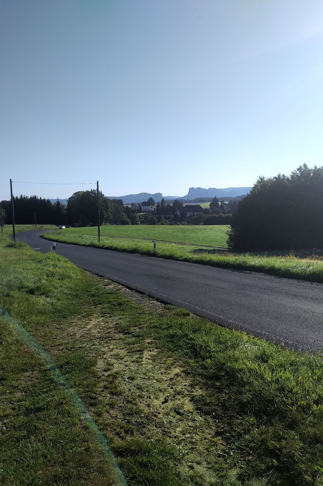
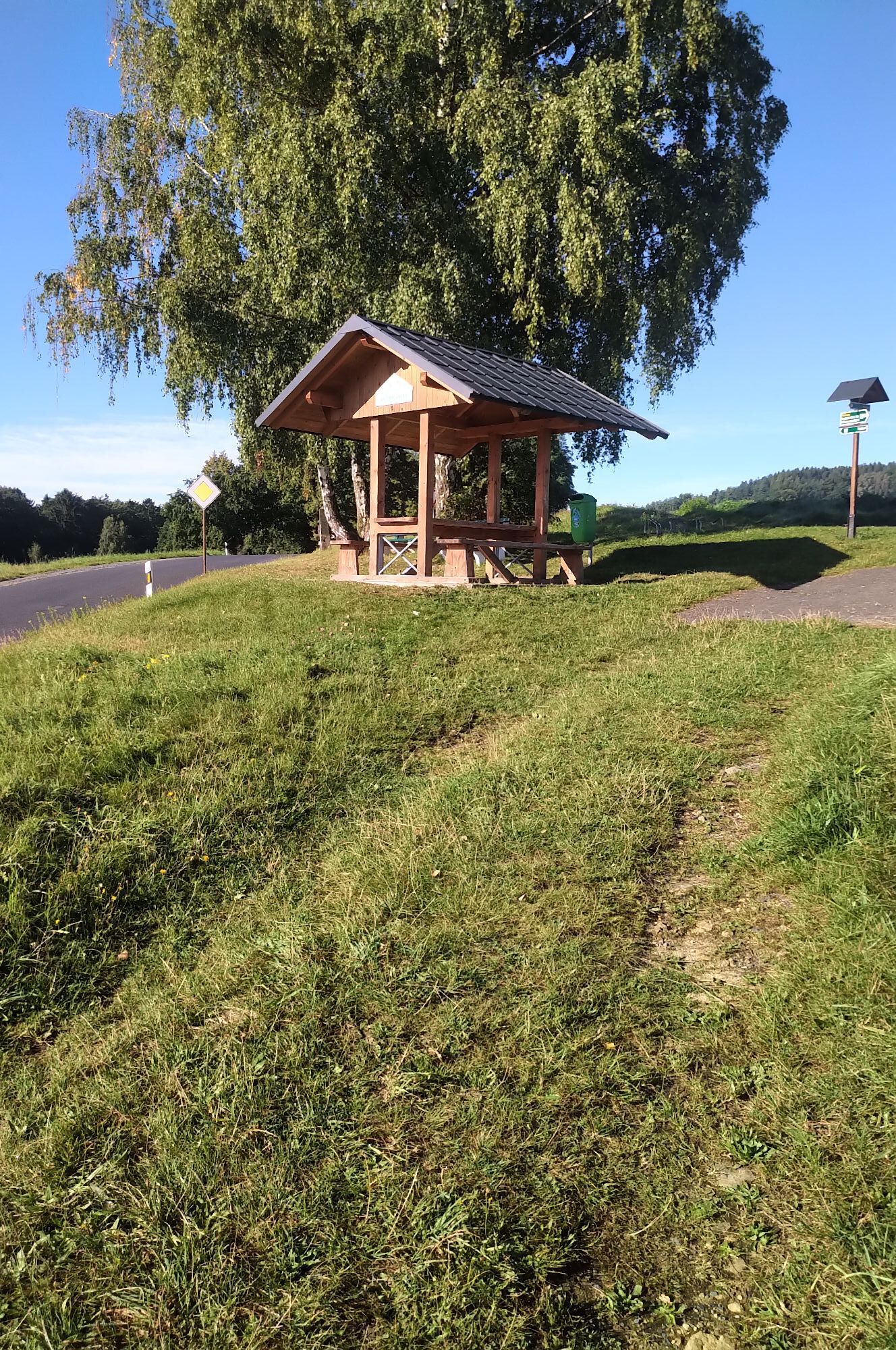
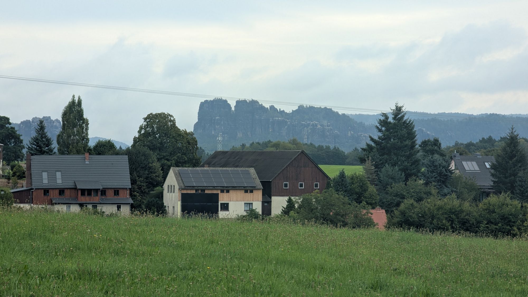
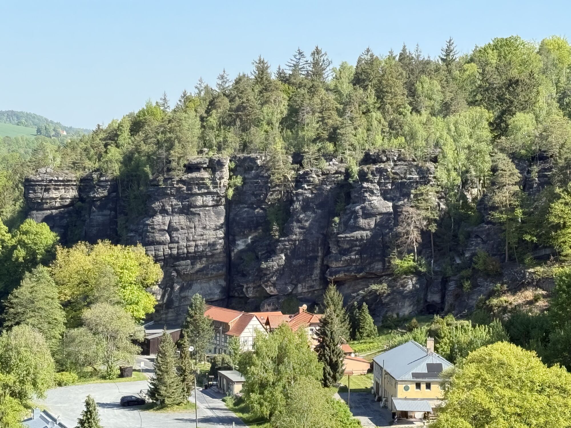
The starting point is Pirna railway station. From here, drive to the B172, then turn left to Clara-Zetkin-Straße. Continue straight ahead on Rottwerndorfer Straße to Neundorf. Here you follow the Gottleuba to the spa town of Berggießhübel. There, cross Hellendorfer Straße onto Eisenstraße until you reach Bahratal, where you cycle along the road to Hellendorf. Cross the bridge and after 400m turn left onto the Sächsische Mittelgebirge cycle route: via Bohlenschneise and Glasergrund to Ottomühle, continue along Bielagrund to Schweizermühle, where you turn right to Rosenthal. Keep right there and after 500m turn left into Winterleitenstraße. After a climb, turn right onto Matheusweg to Cunnersdorf. Here you leave the Sächsische Mittelgebirge cycle route and follow the cross path to Papstdorf on the left, where you cycle via Kleinhennersdorf to Krippen - the end of the tour.

To Pirna via the A17, exit Pirna/Bad Schandau and then continue via the B172 to Pirna and follow the signs to the railway station.
e.g. at the P+R car park at the railway station in Pirna
Hol dir den Einblick Immer live vor Ort mit über 9.500 Webcams. In der Touren App von bergfex siehst du als Pro-User jetzt zu vielen Touren die passenden Webcams. So kannst du dir direkt die aktuellen Bedingungen ansehen.Beliebte Touren in der Nähe
- 4,7
Rathen / Hockstein / Bastei / Rathen
mittelWanderung 14,4 km - 4,6
Von Rathewalde zur Bastei
Wanderung 12,8 km - 4,7
Rundwanderung Bastei Schwendenlöcher -Amselsee
leichtWanderung 6,21 km - 4,7
Pfaffenstein Sachsen/Deutschland
mittelWanderung 3,89 km - 5,0
Basteibrücke
leichtWanderung 2,31 km - 5,0
Lilienstein
leichtWanderung 3,75 km - 4,9
entlang der Schrammsteine, Breite Kluft, Affenwand
mittelWanderung 11,6 km - 4,4
Kurort Rathen: Große Bastei-Runde
mittelWinterwandern 4,75 km - 4,8
Bad Schandau, Schrammsteinrunde
mittelWanderung 11,0 km - 4,6
Caspar-David-Friedrich-Weg
mittelWanderung 15,1 km
Wandern & Tracking


Verpasse keine Angebote und Inspirationen für deinen nächsten Urlaub
Deine E-Mail-Adresse wurde in den Verteiler eingetragen.





