


Hiking with four paws on the Malerweg
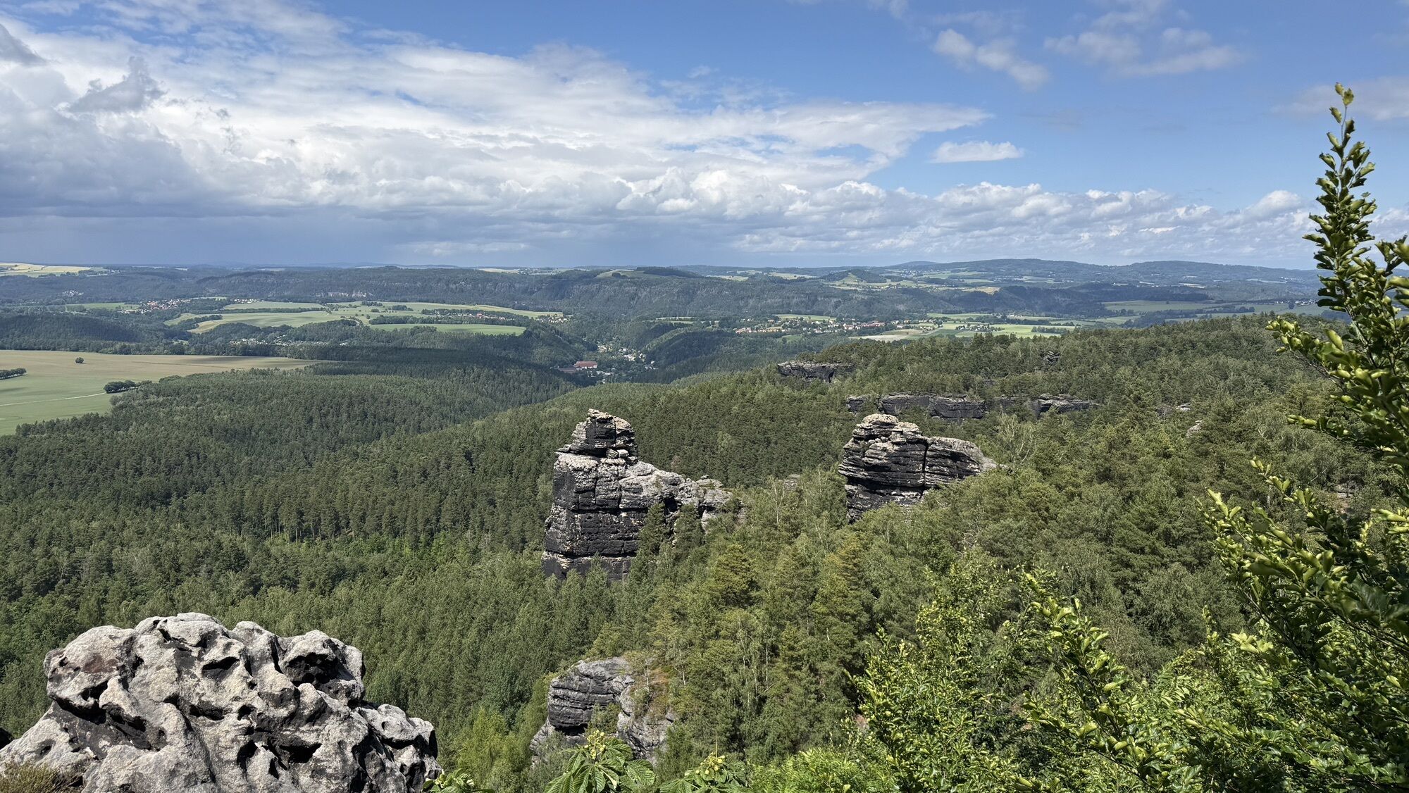
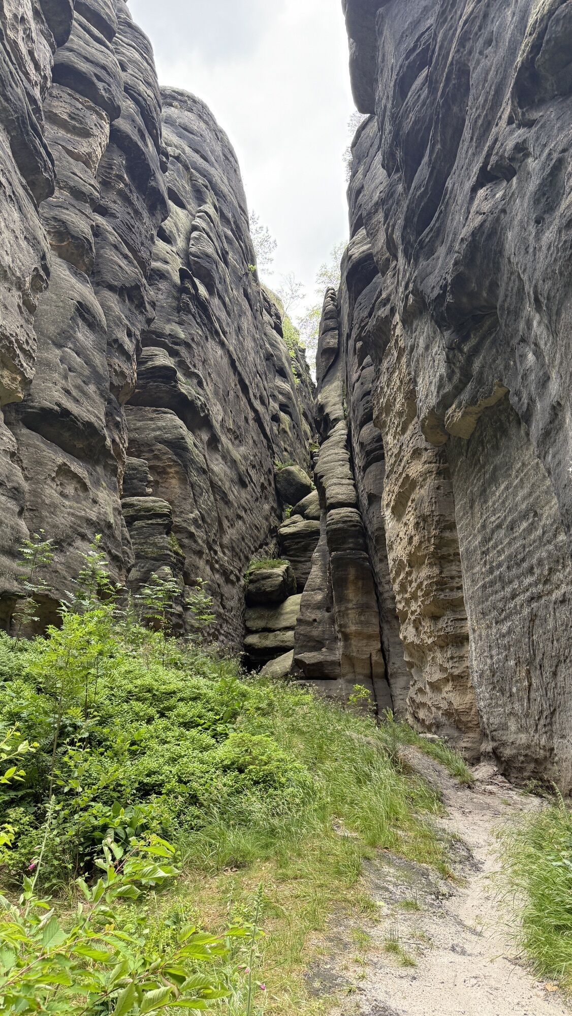
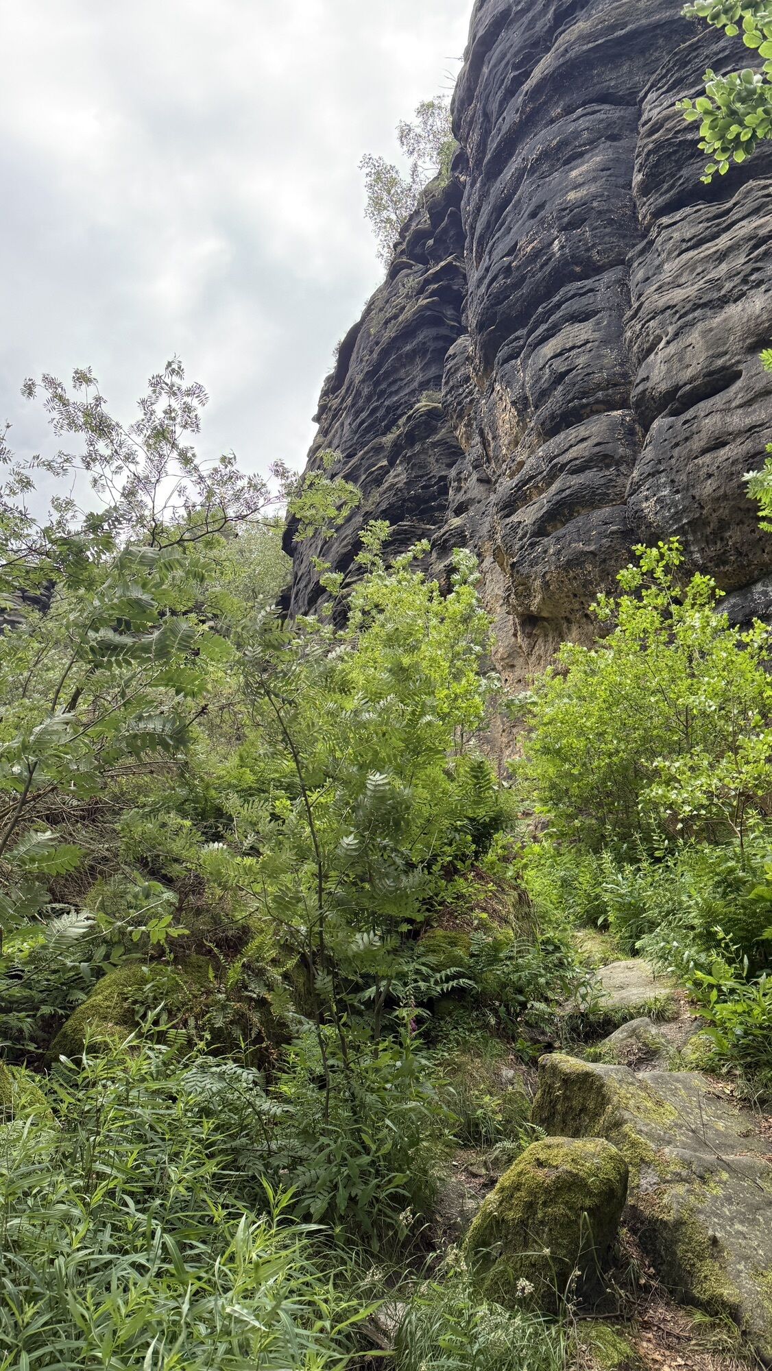
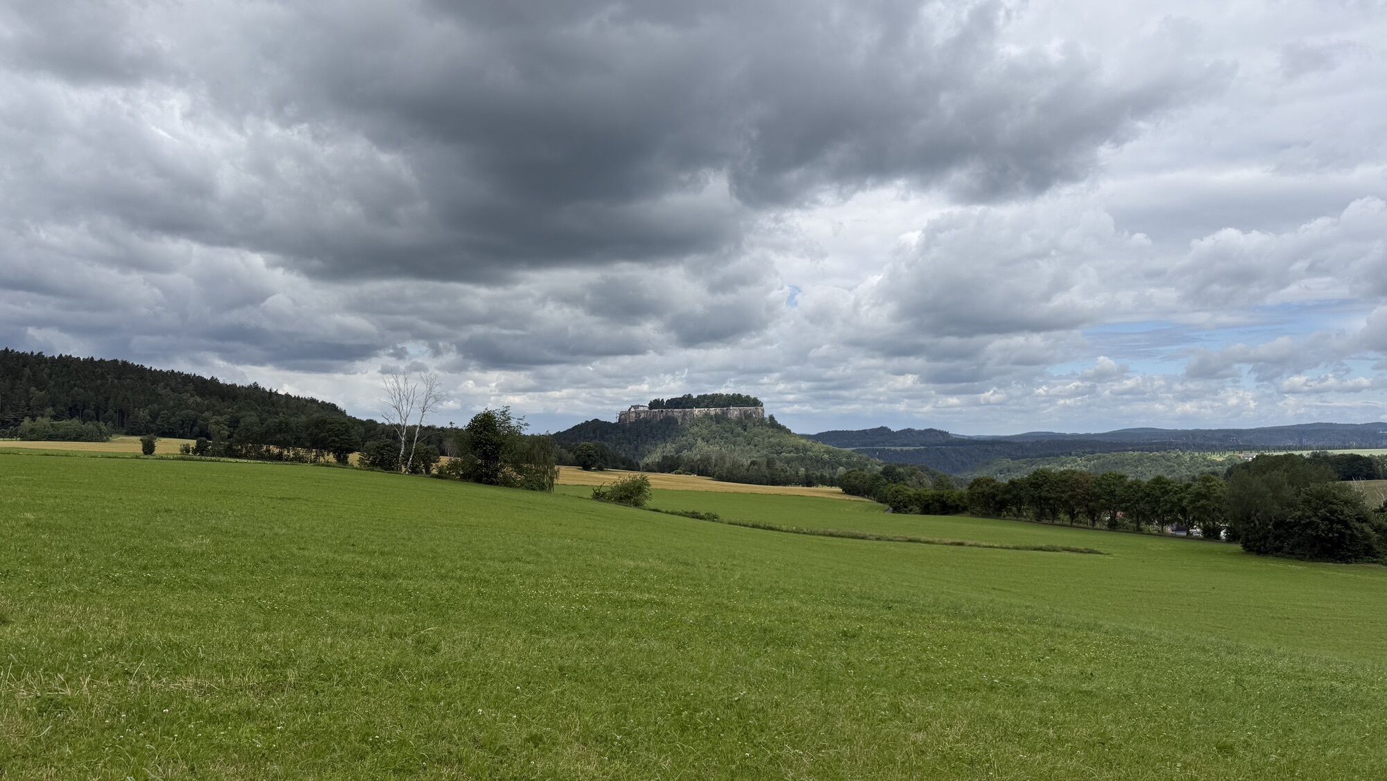
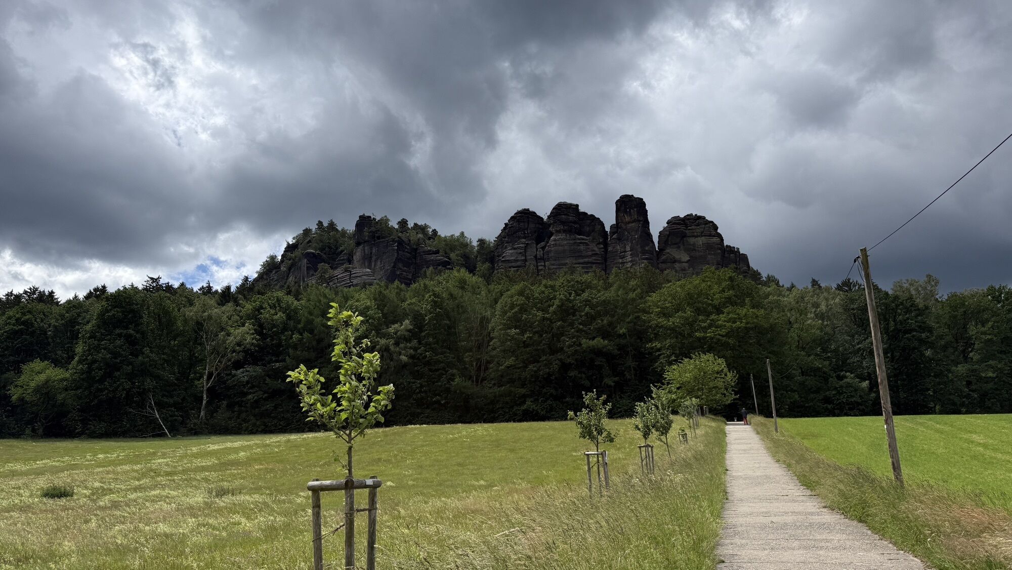
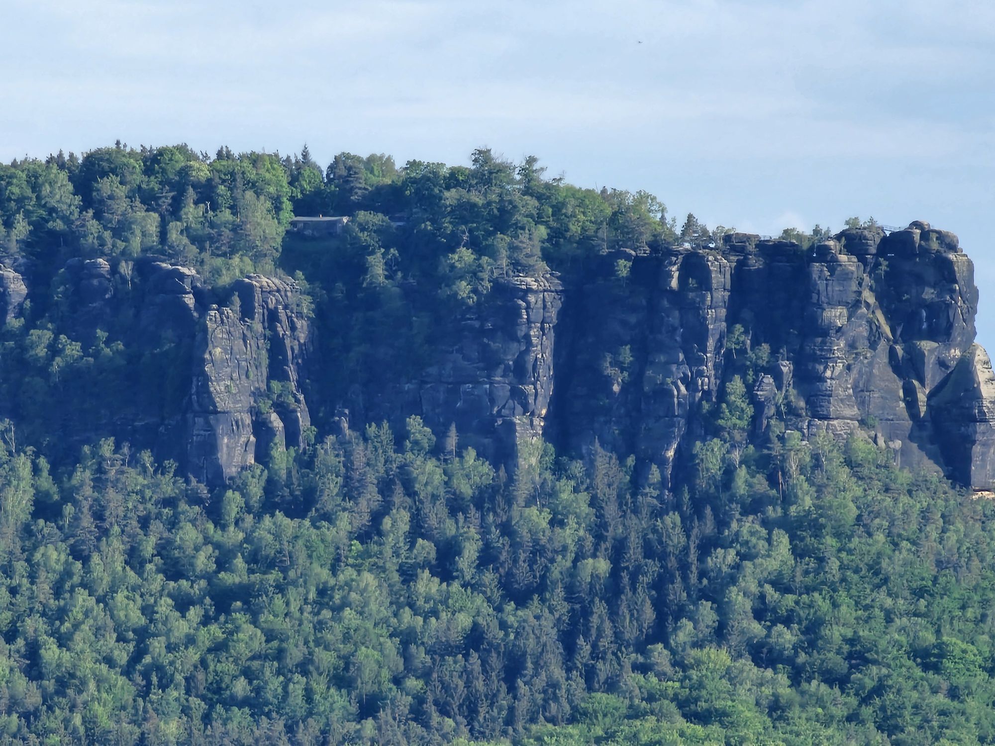
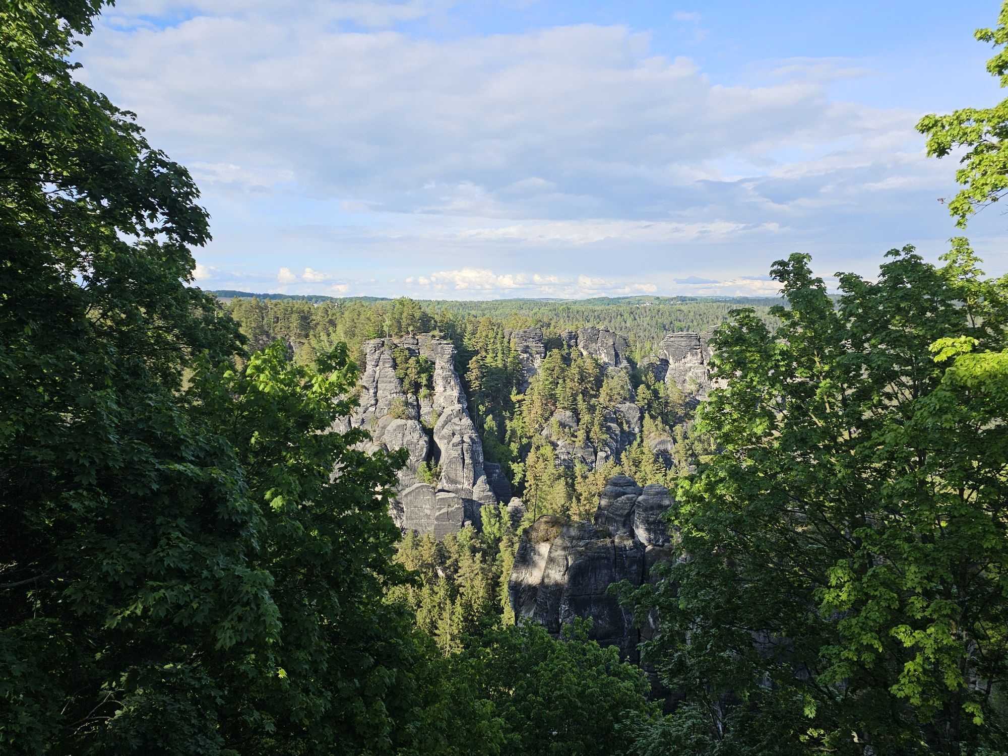
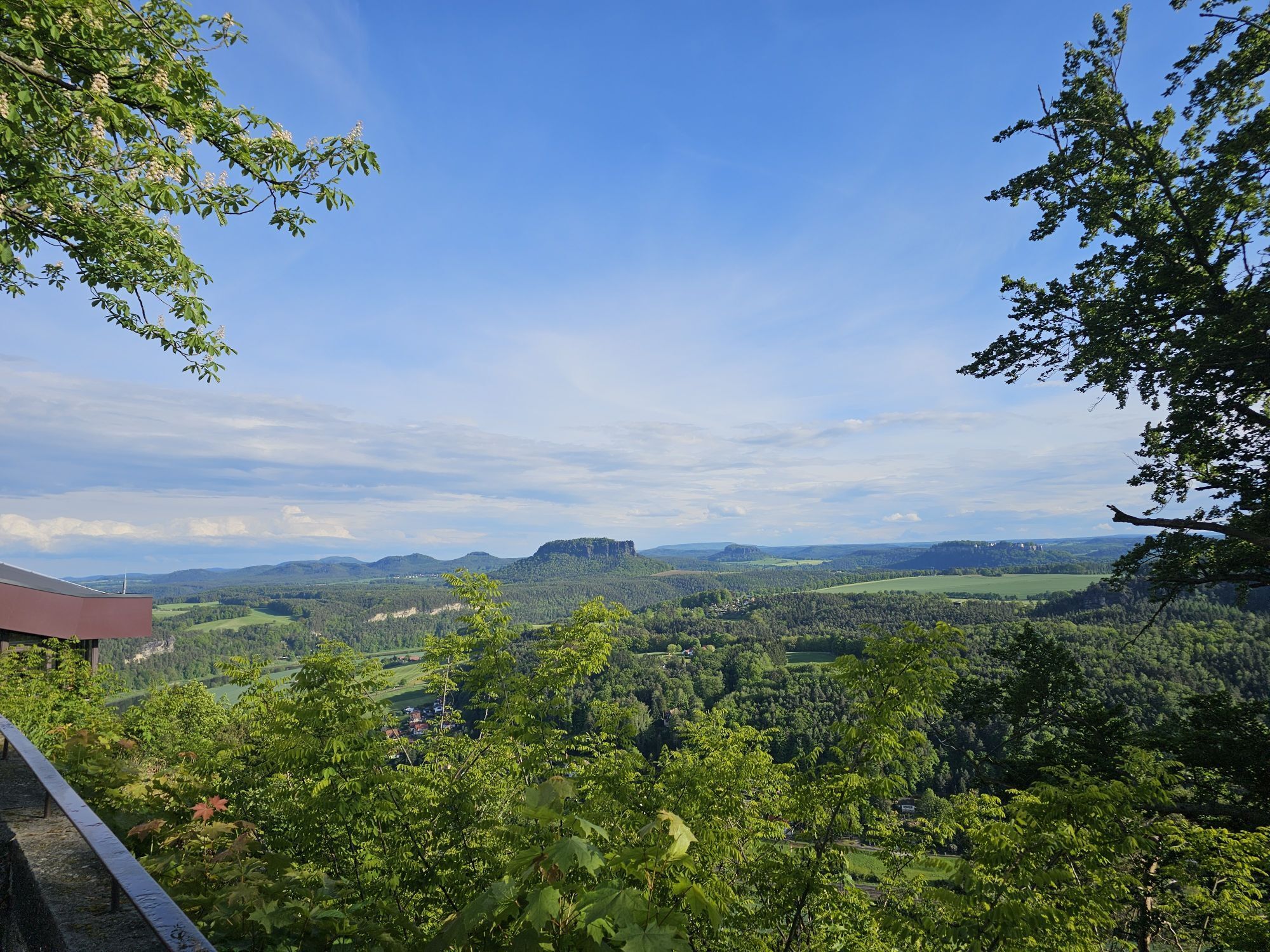
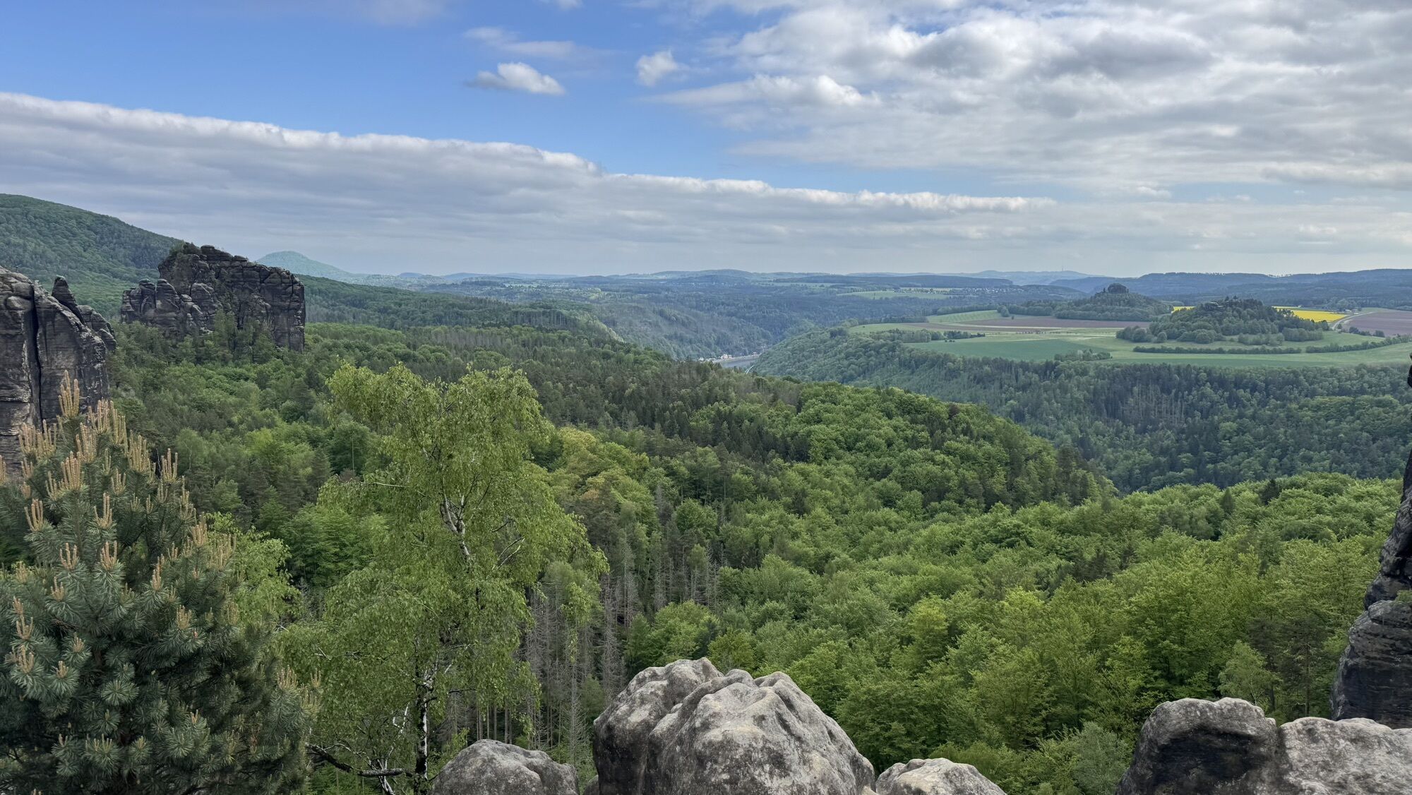
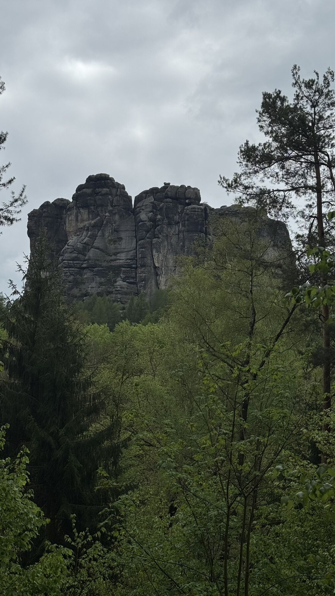
An inexhaustible wealth of bizarre rock formations, wooded, wildly romantic gorges and majestic table mountains with breathtaking views: The "Malerweg" in the Saxon Switzerland National Park offers all...
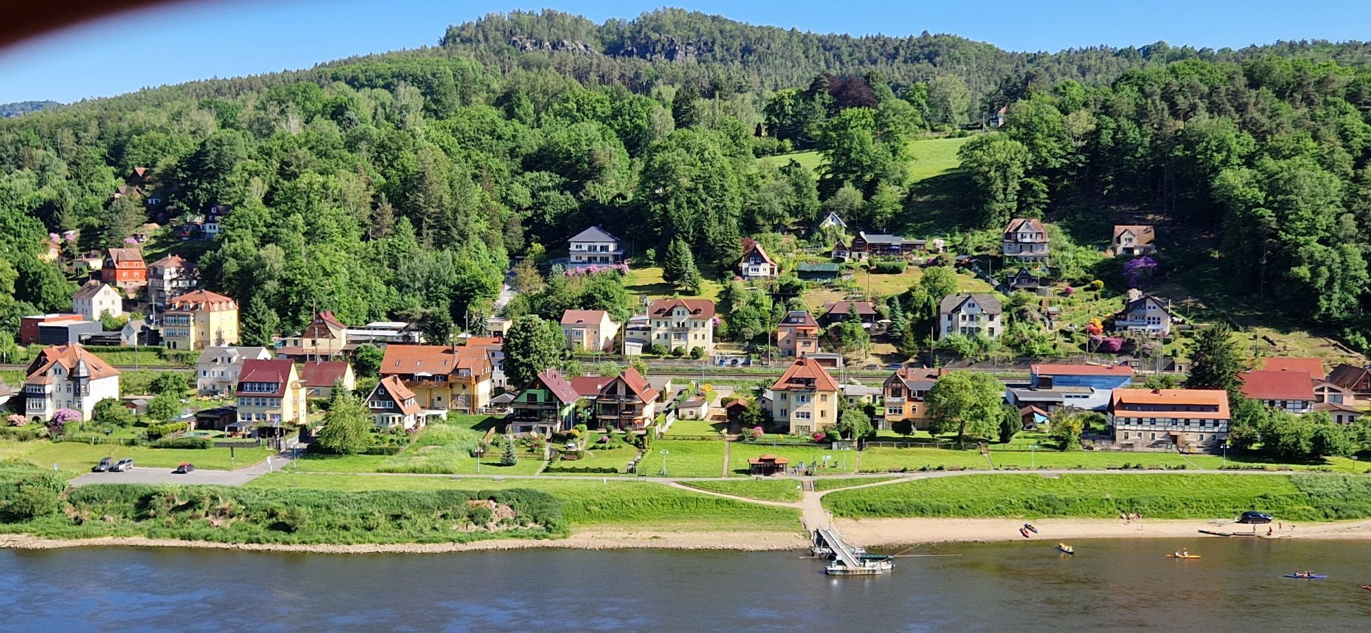
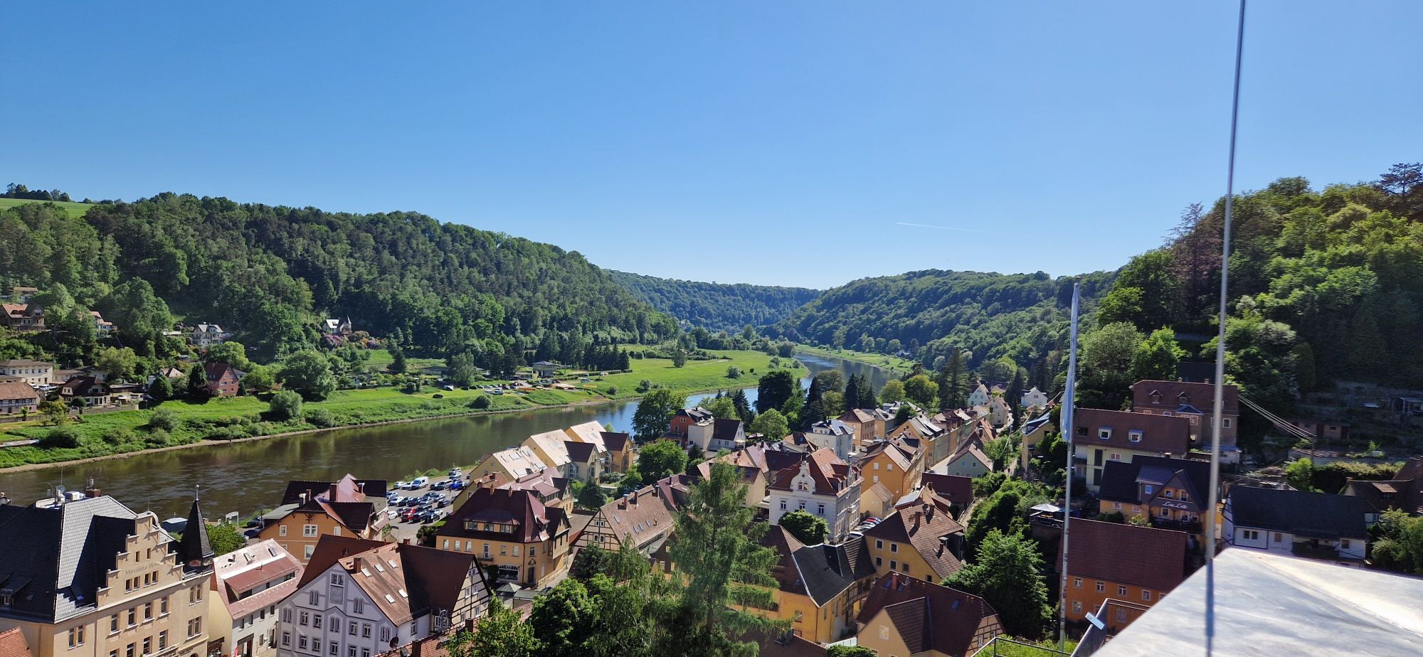
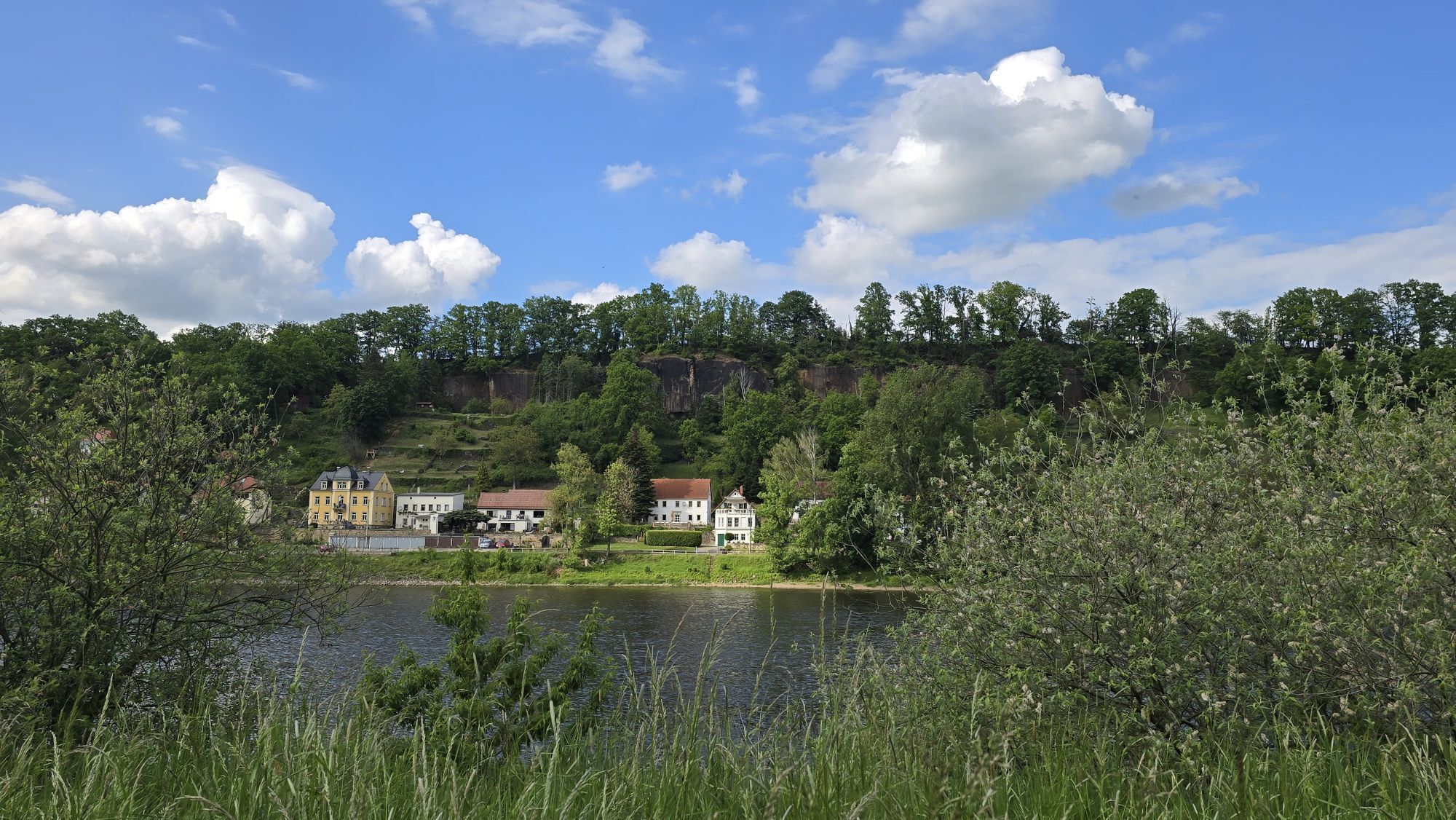
An inexhaustible wealth of bizarre rock formations, wooded, wildly romantic gorges and majestic table mountains with breathtaking views: The "Malerweg" in the Saxon Switzerland National Park offers all of this. From the very beginning, artists have been attracted to the picturesque rock formations. Follow in the footsteps of famous Romantic painters such as Caspar David Friedrich, Carl Gustav Carus and Ludwig Richter. Experience the fascinating rocky landscape of the Elbe Sandstone Mountains from its most picturesque sides on this traditional hiking trail. And enjoy the numerous sights such as the Canaletto town of Pirna or the house of the impressionist painter Robert Sterl in Wehlen-Naundorf and in addition the many inviting inns along the way.
Route start: The hike can be started at any point. The start in Liebethaler Grund is recommended.
Route marking: Complete signposting and constant testing, marking by own logo.
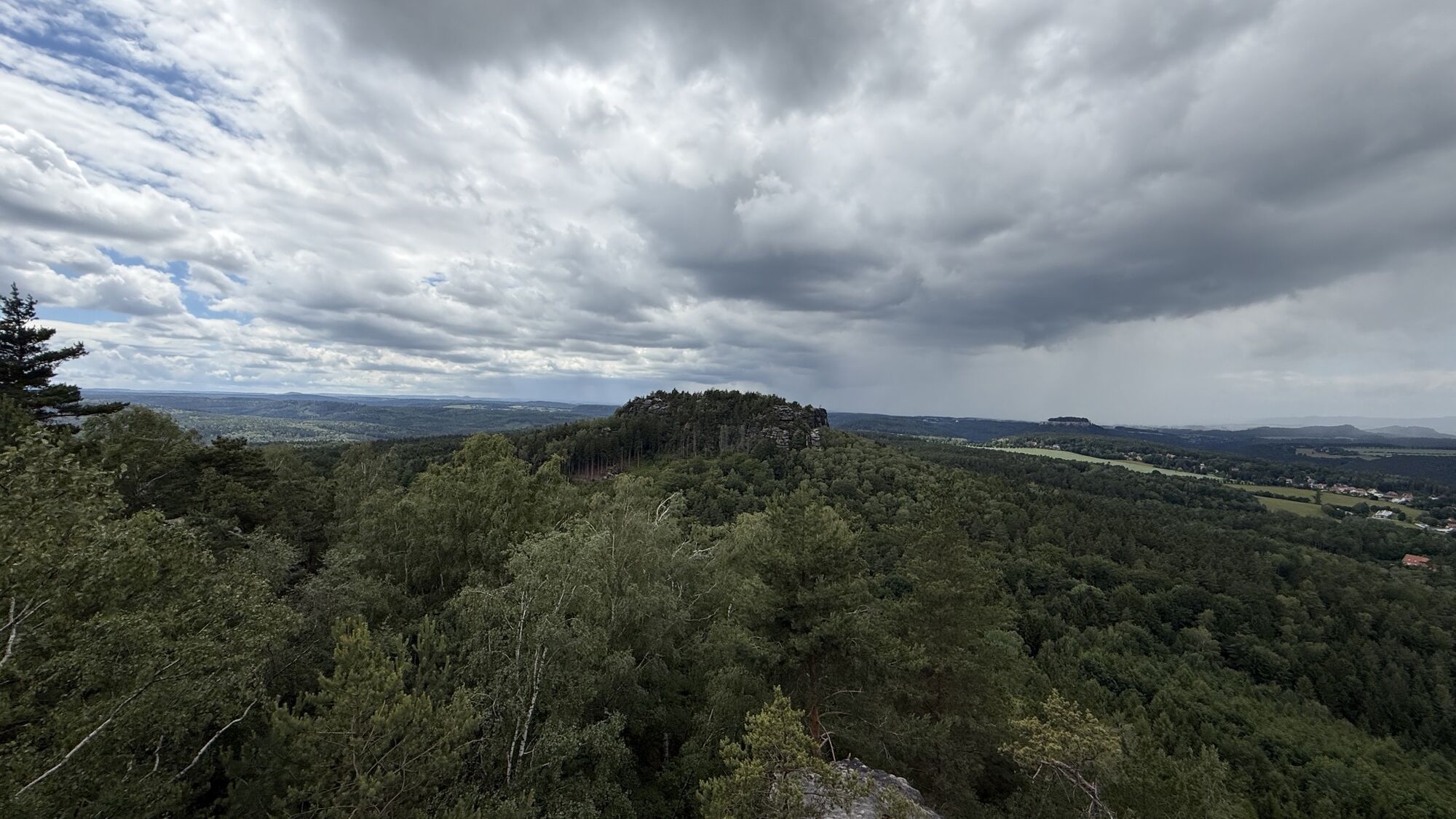
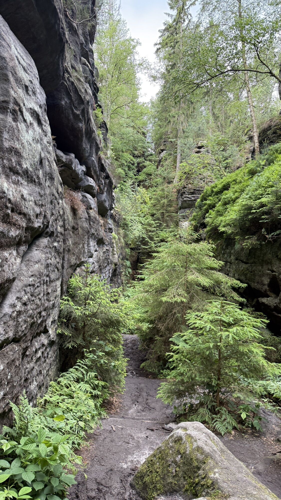
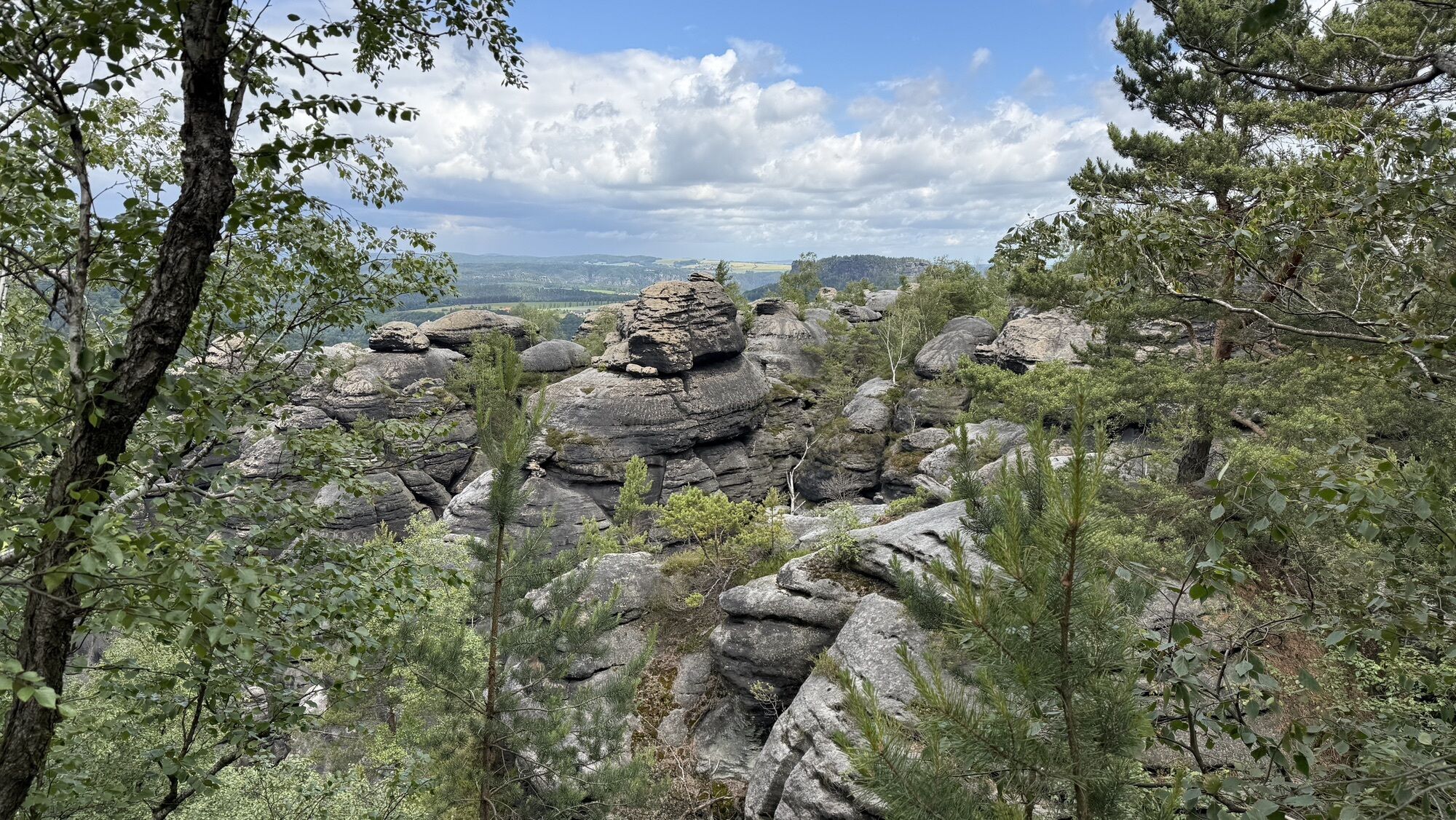
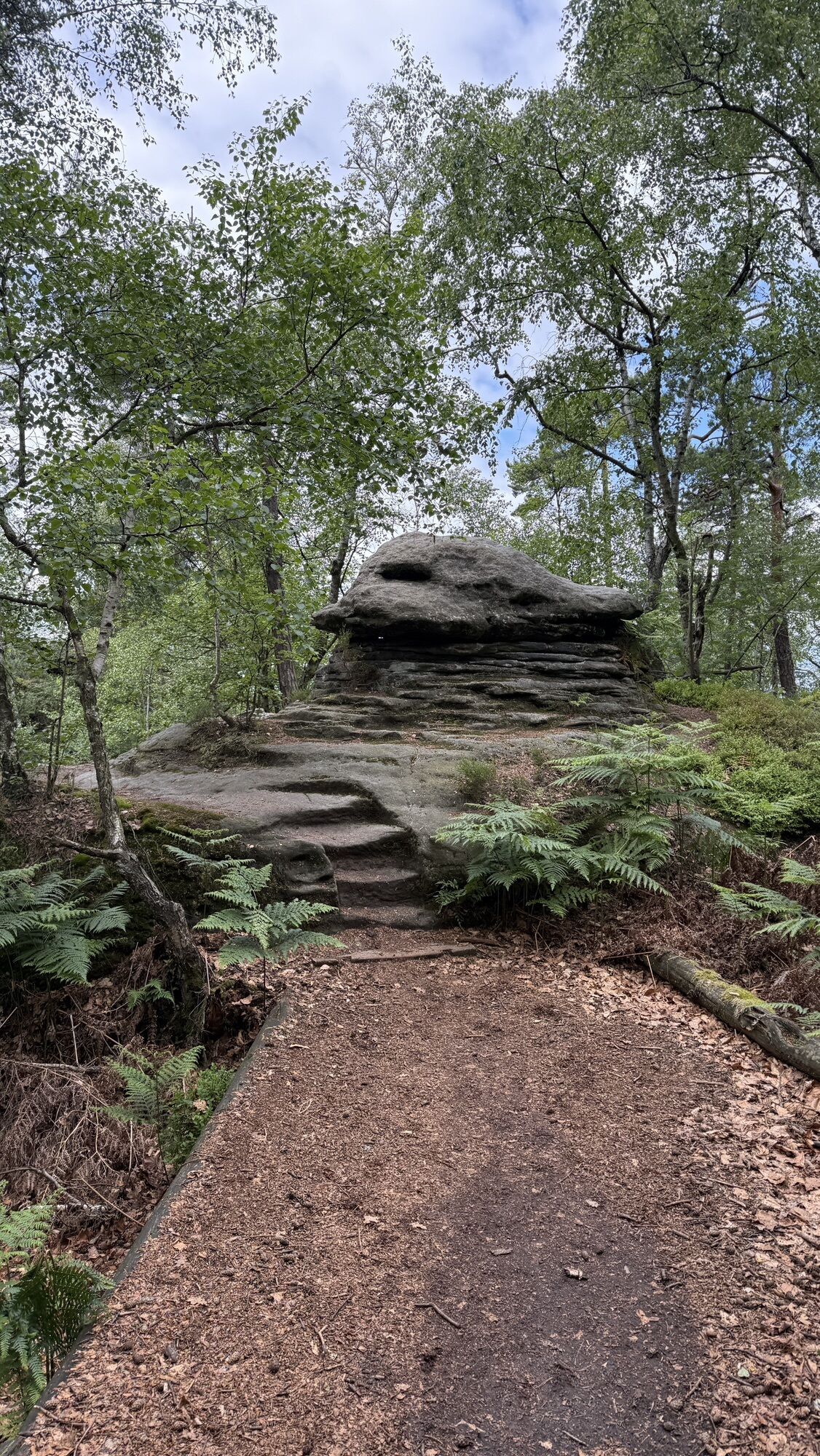
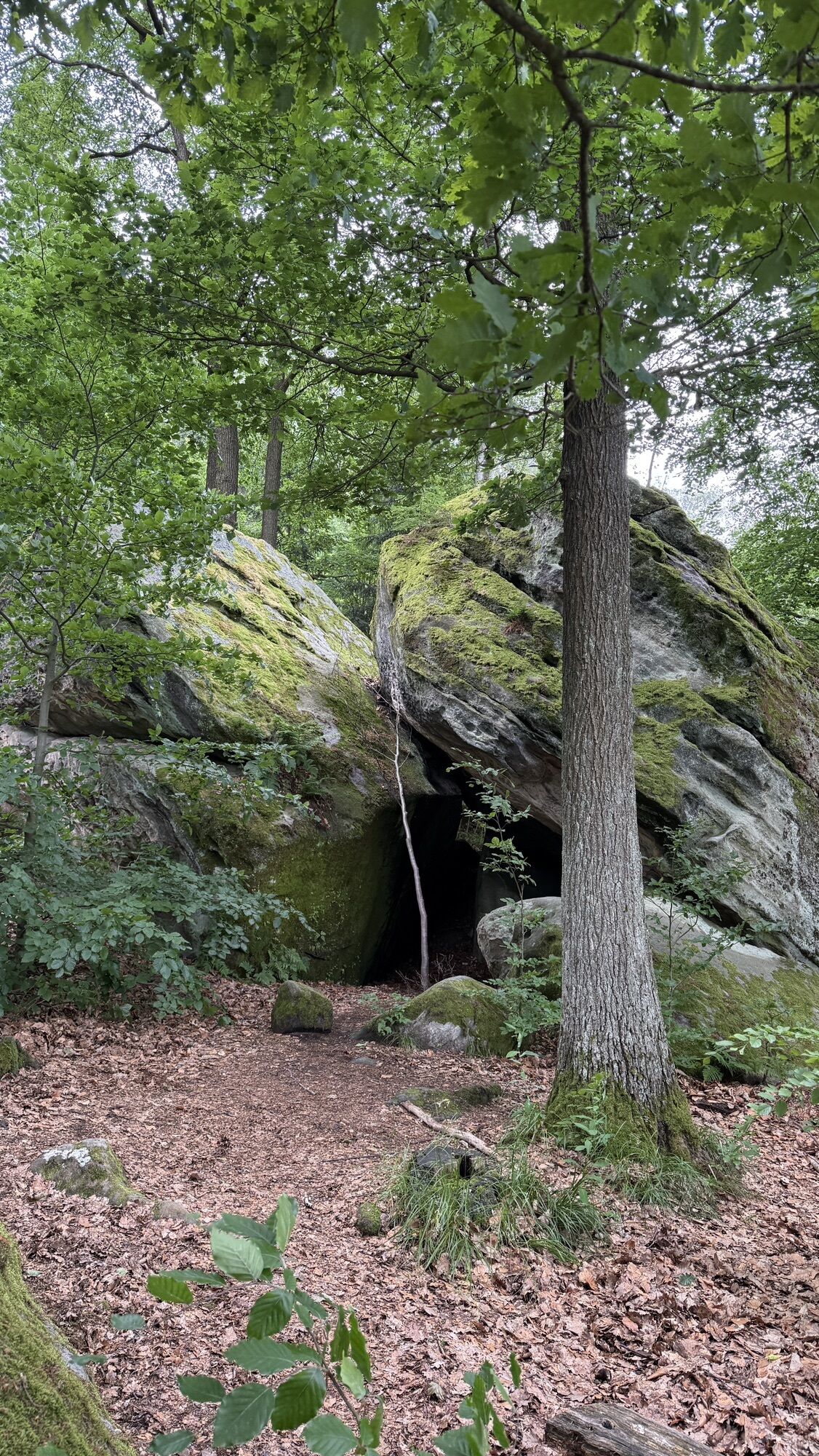
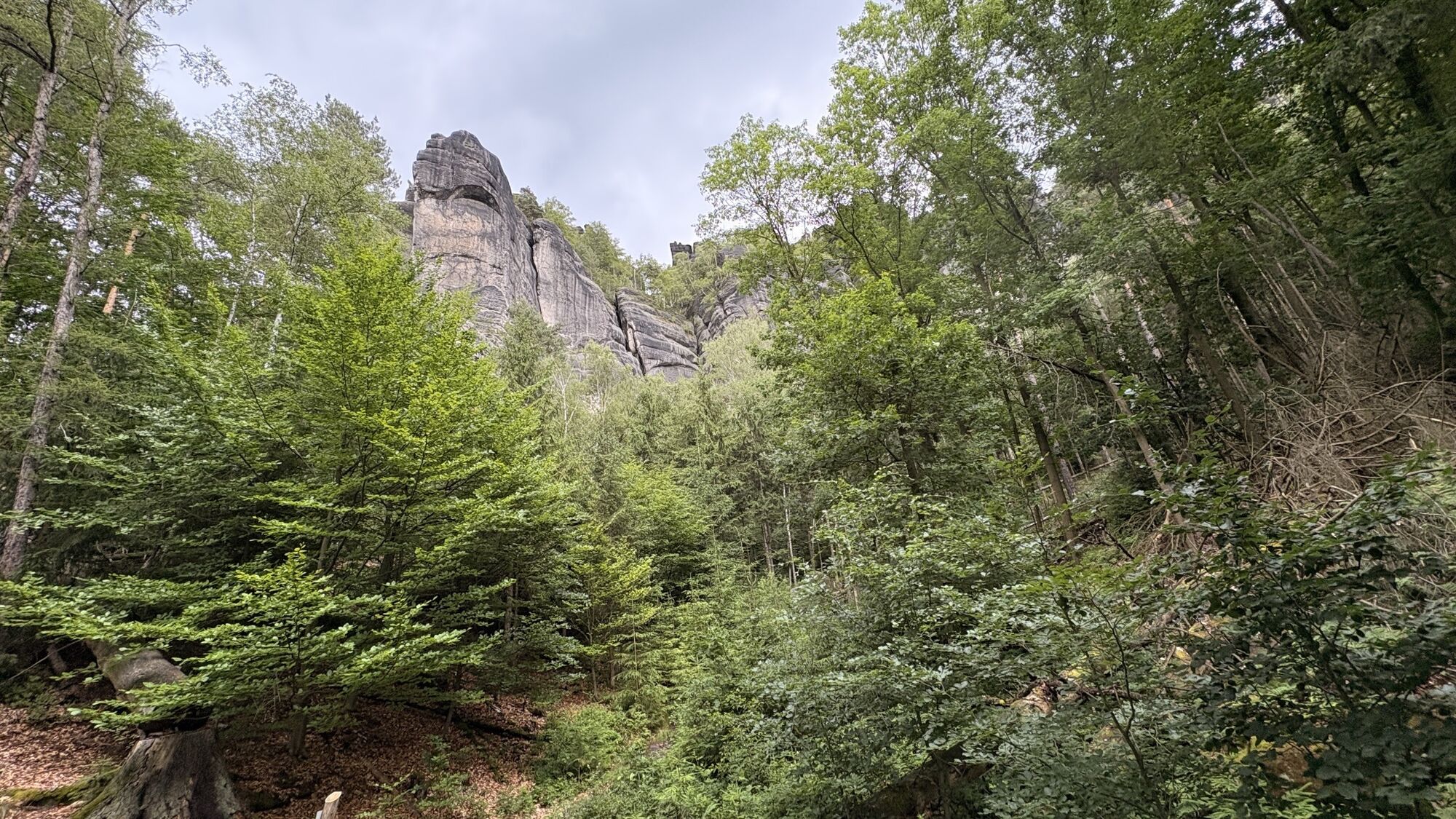
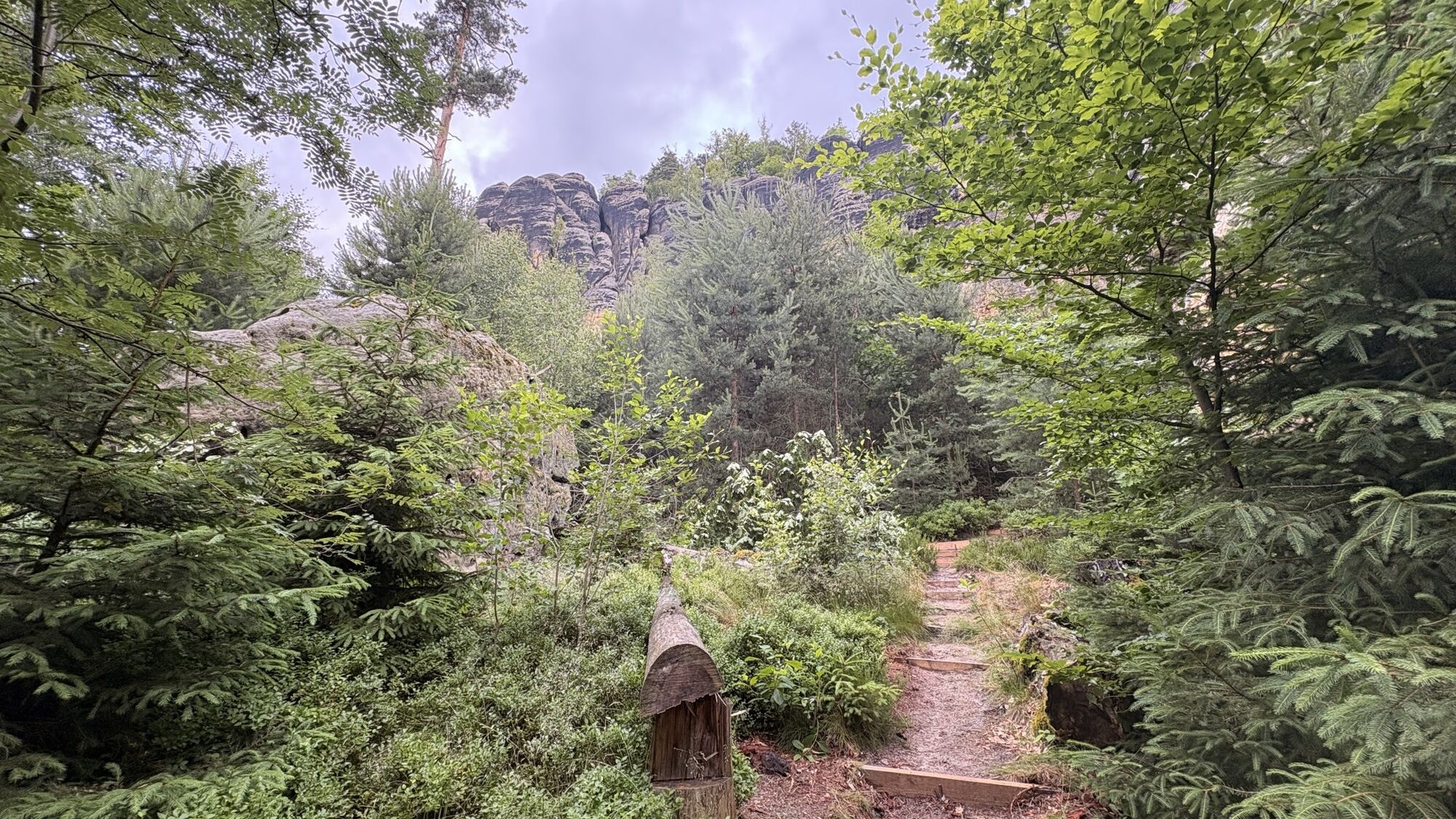
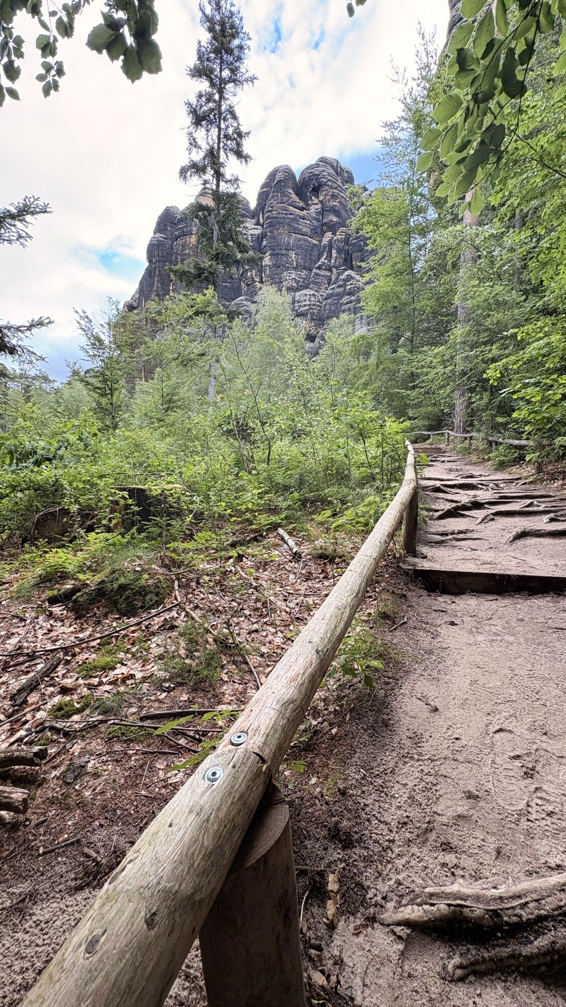
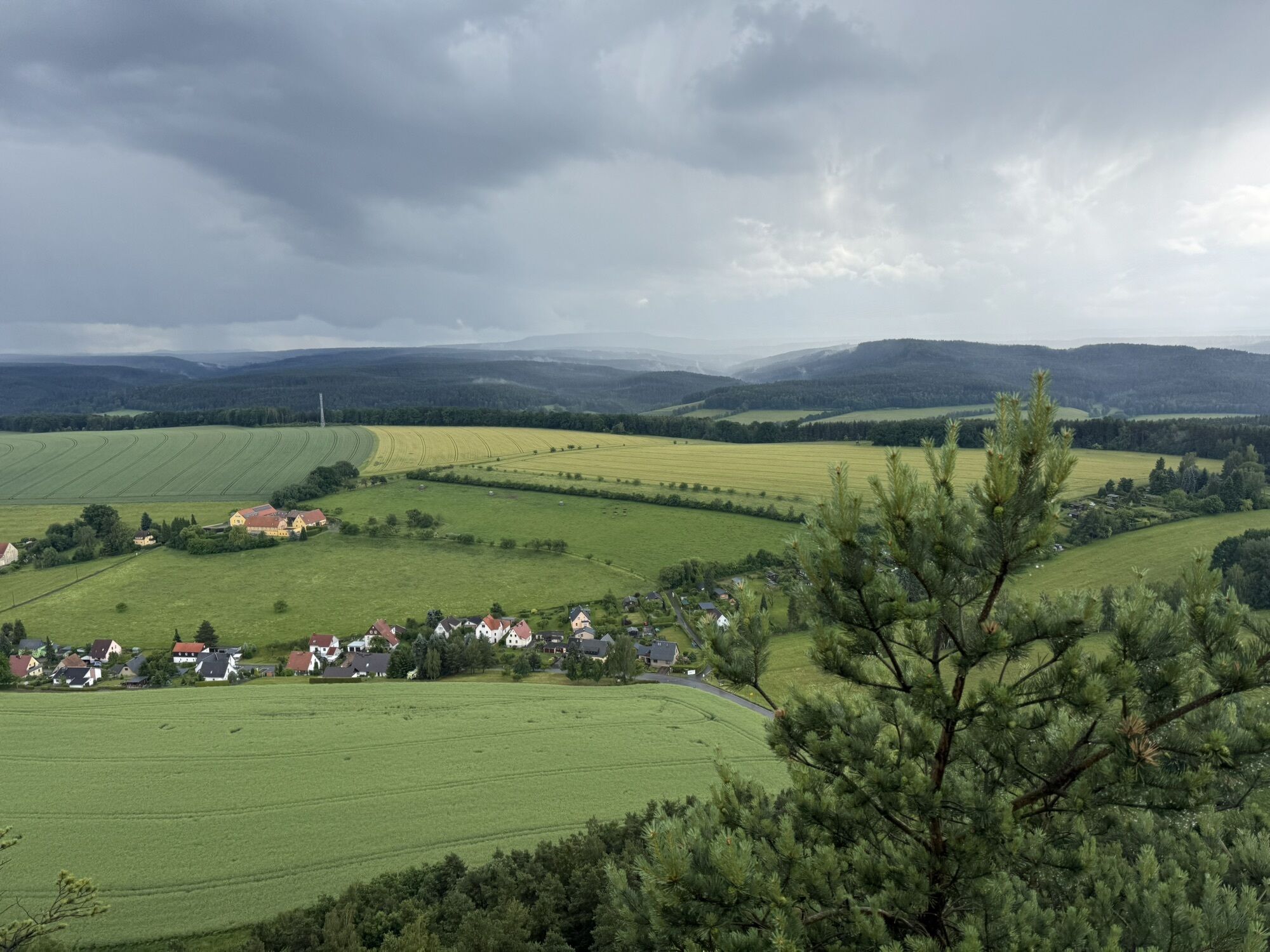
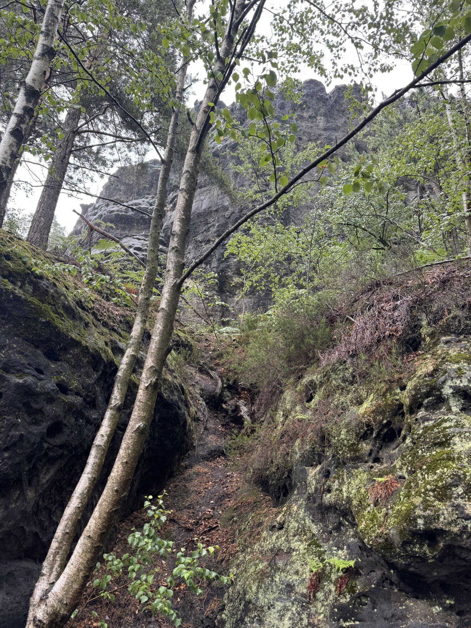
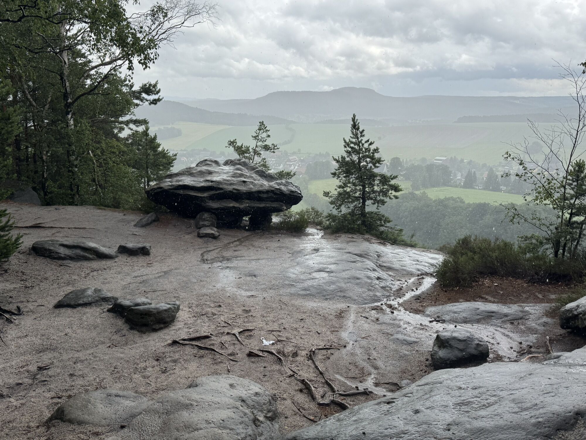
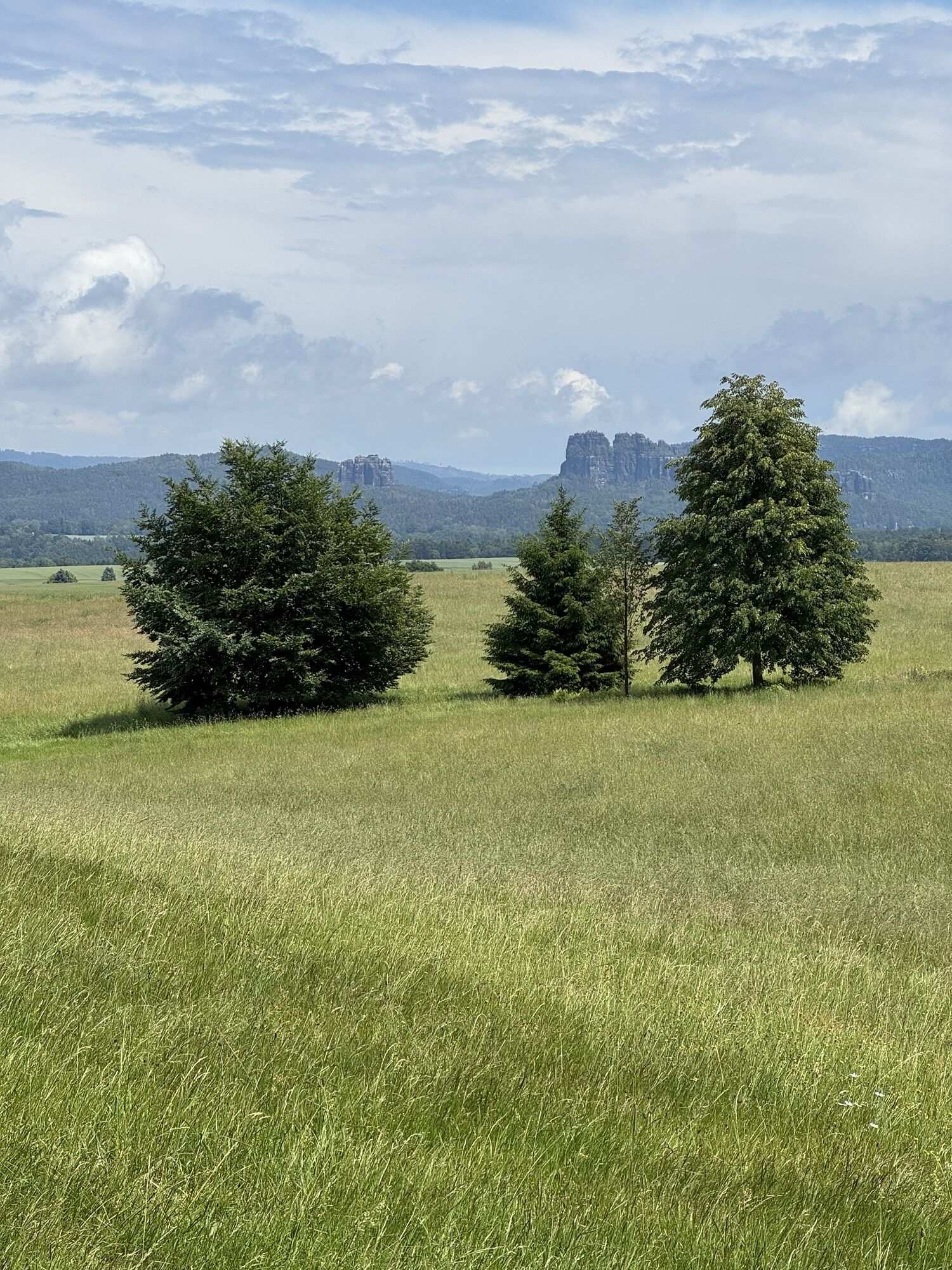
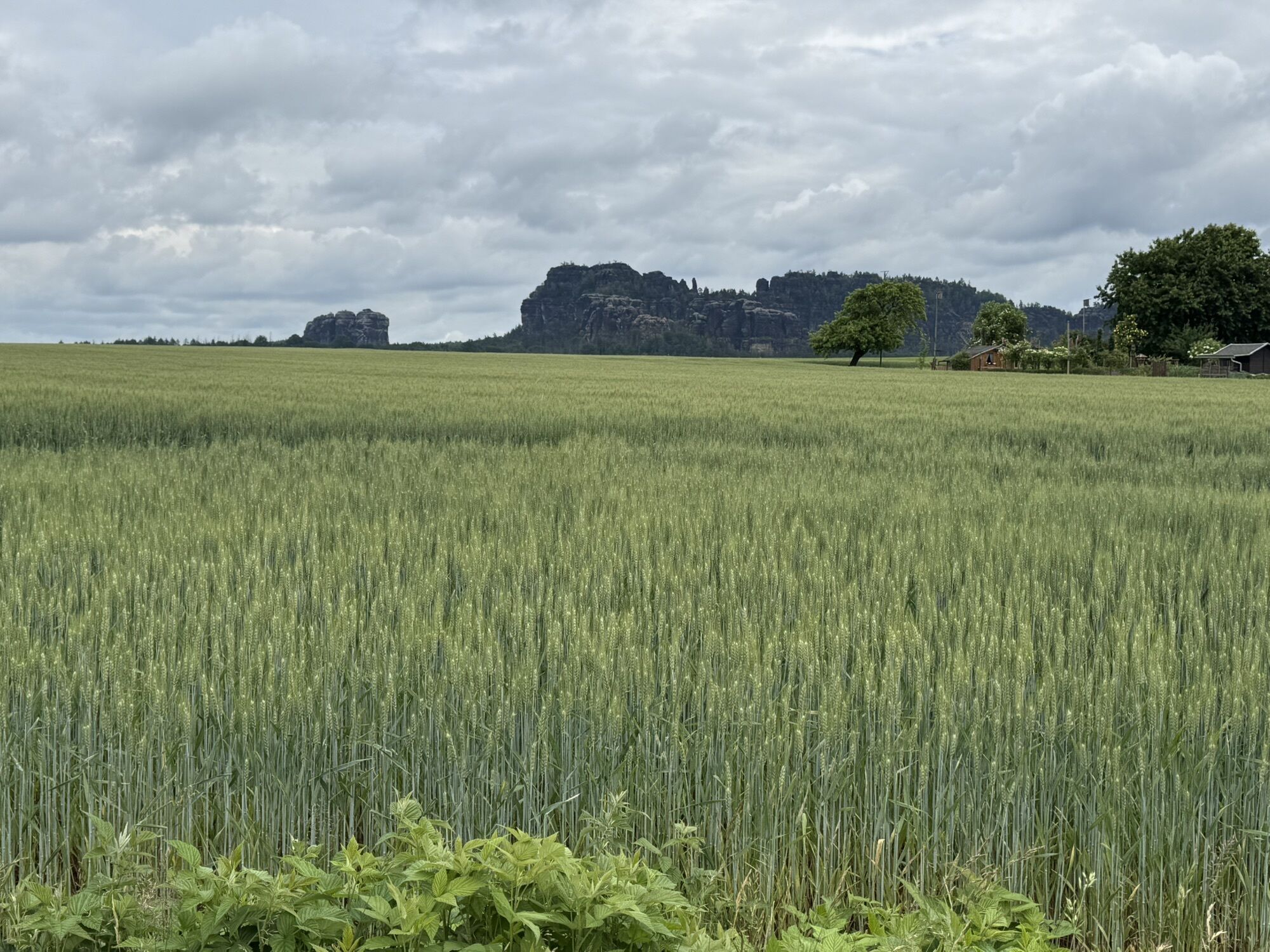
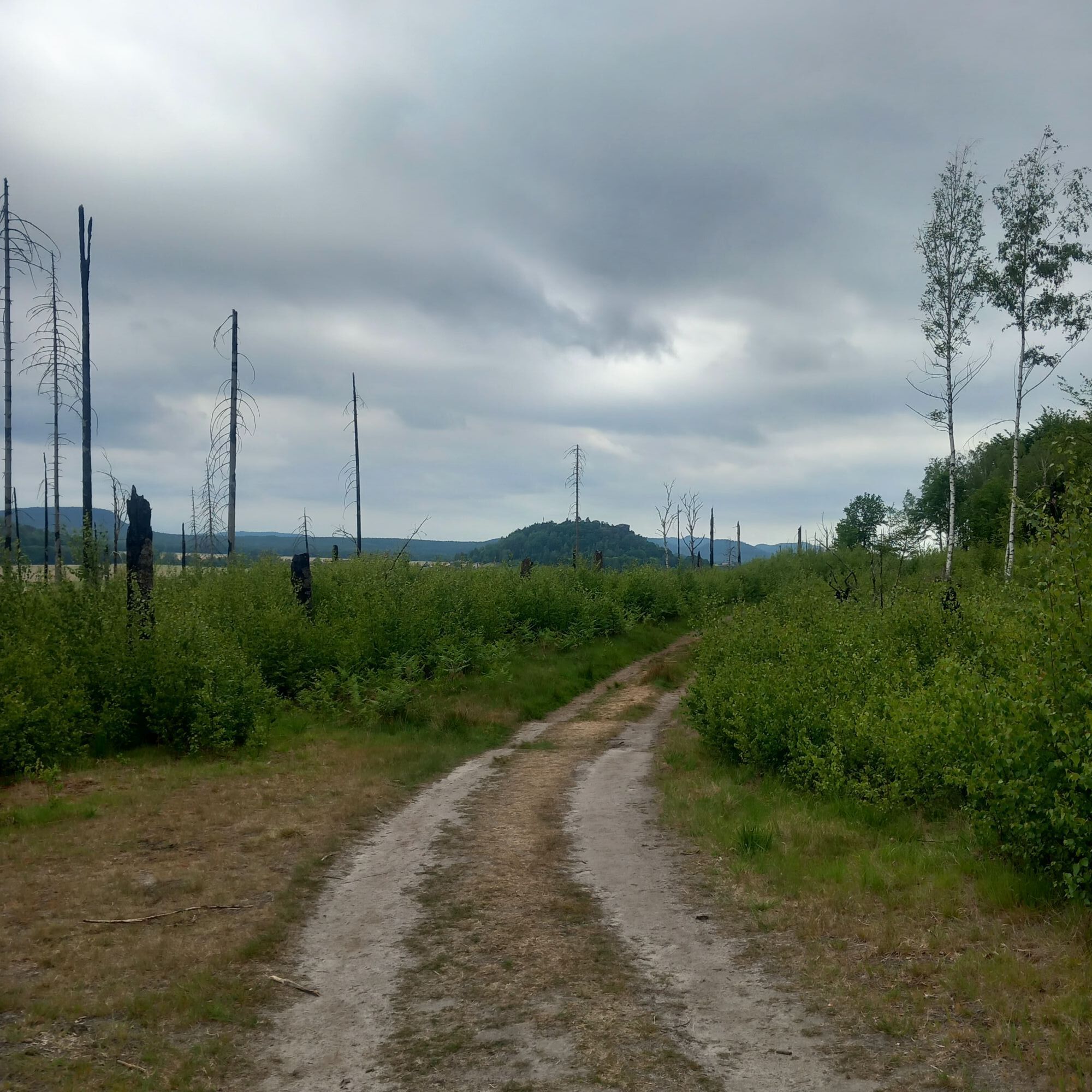
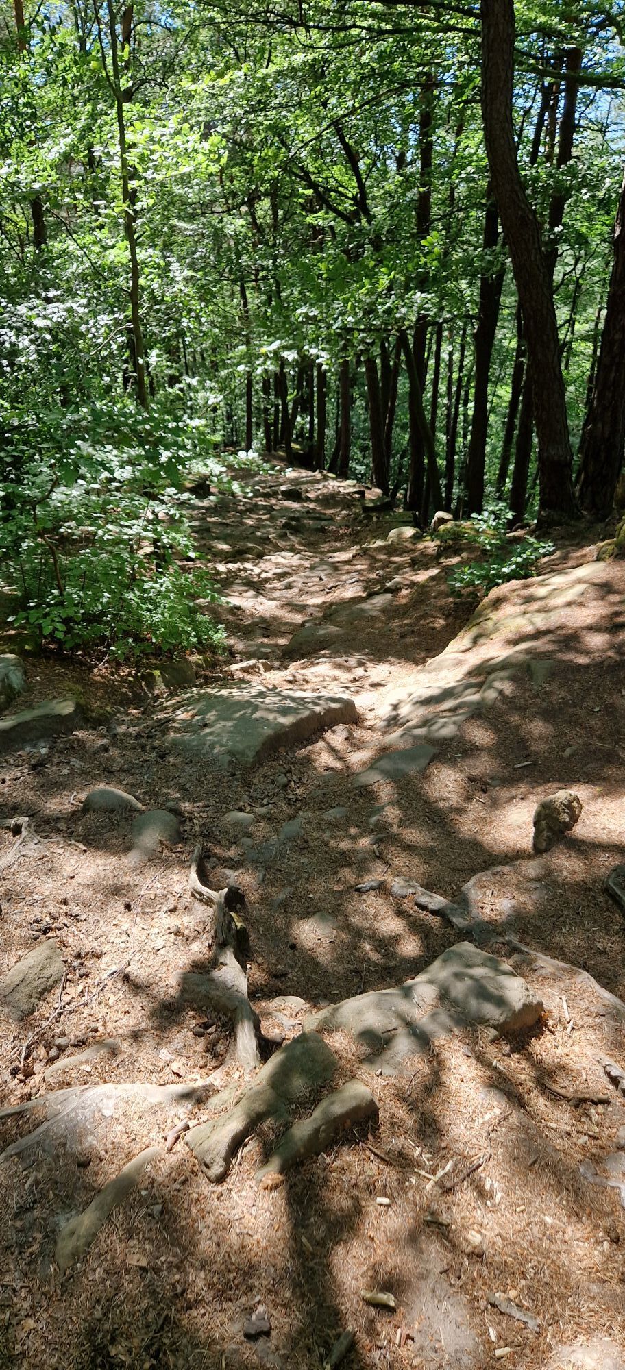
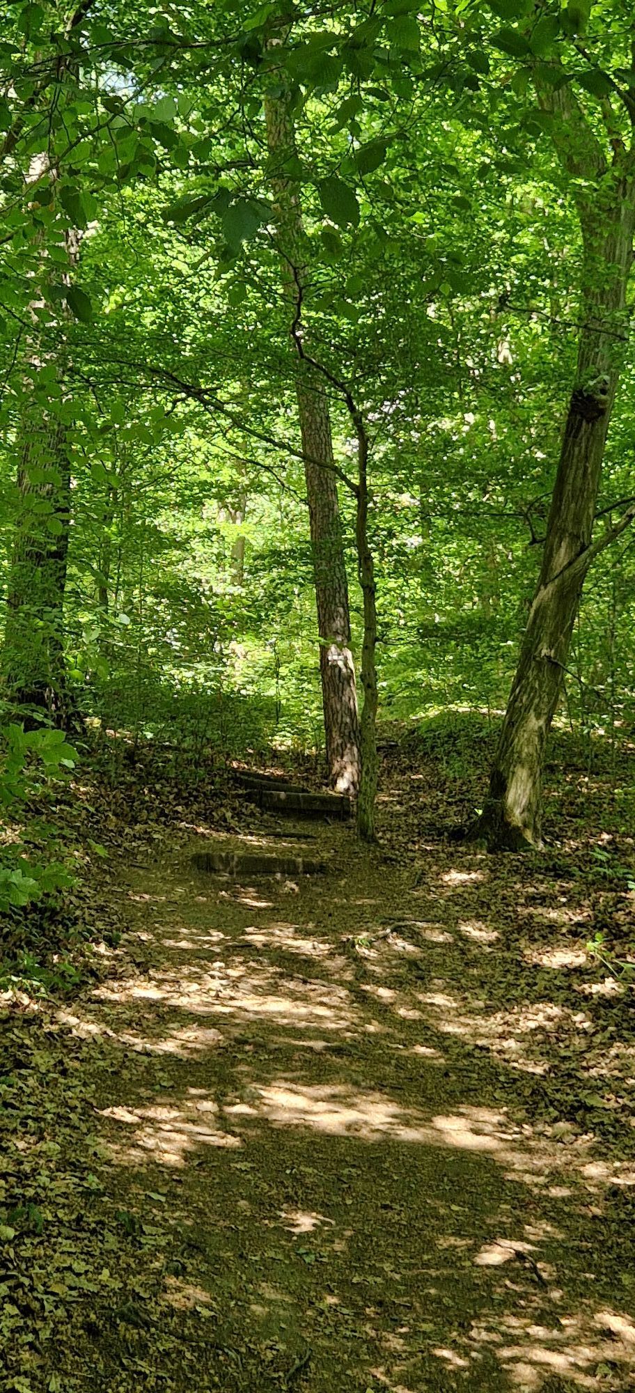
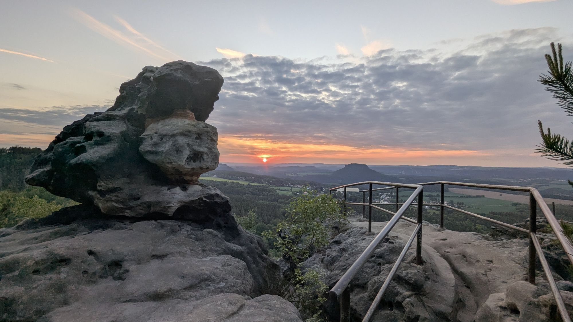
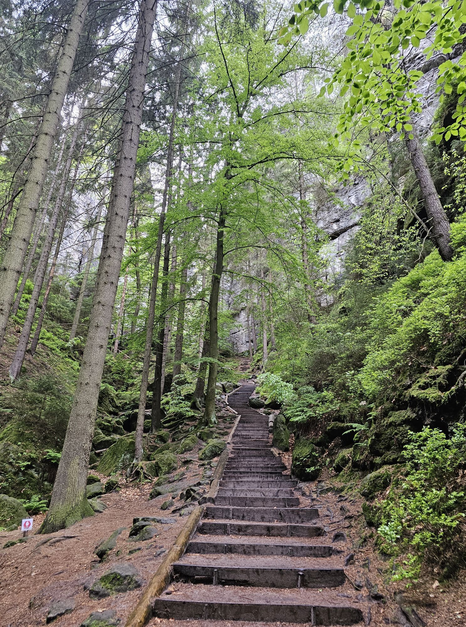
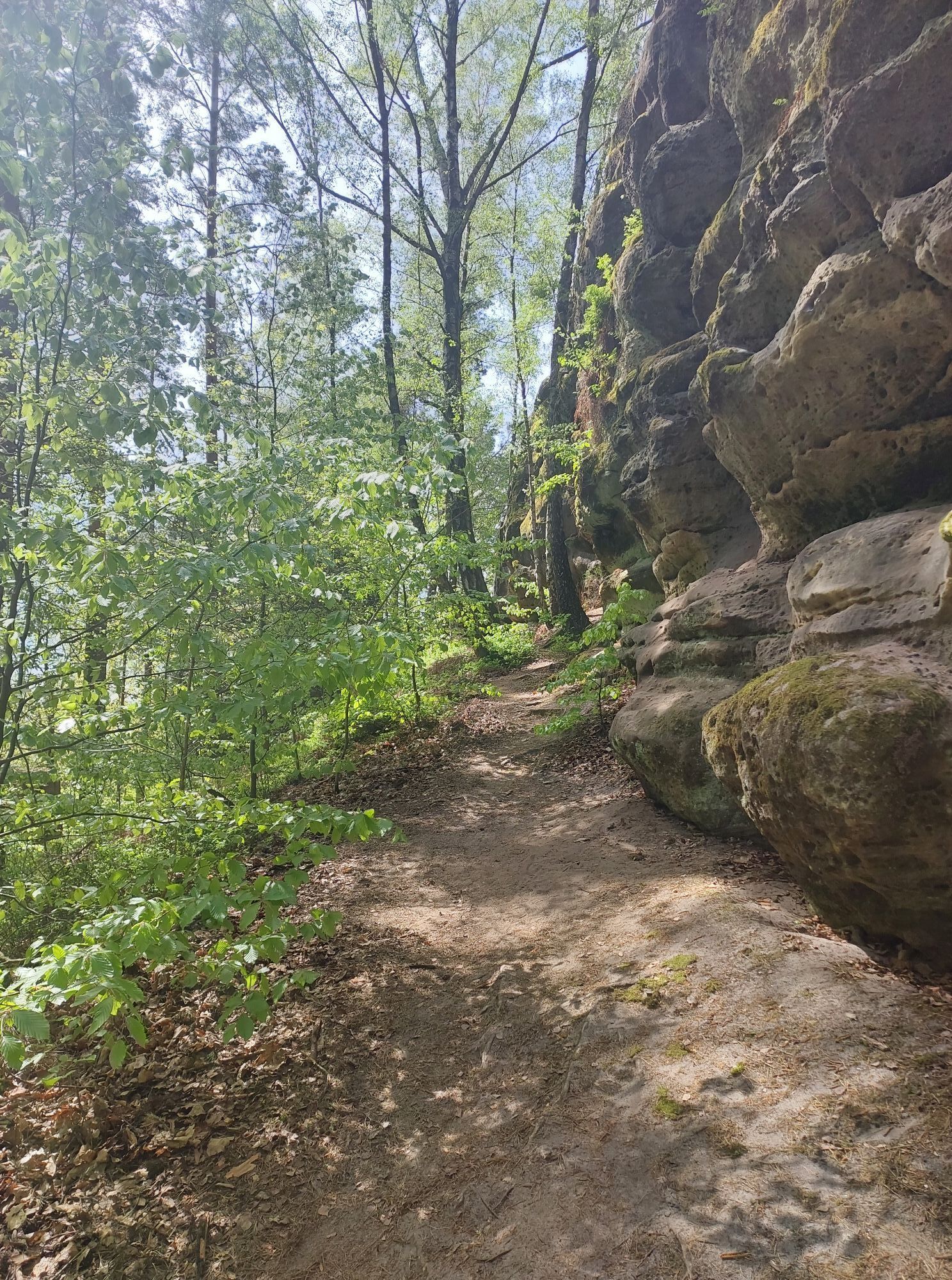
Characteristics:The Malerweg leads through gorges and lonely forest sections, past sandstone formations and imposing views.Various sections of the trail have grandiose distant views to the left and right of the Elbe River with views of freestanding table mountains.
Level of difficulty: easy to difficult, surefootedness required
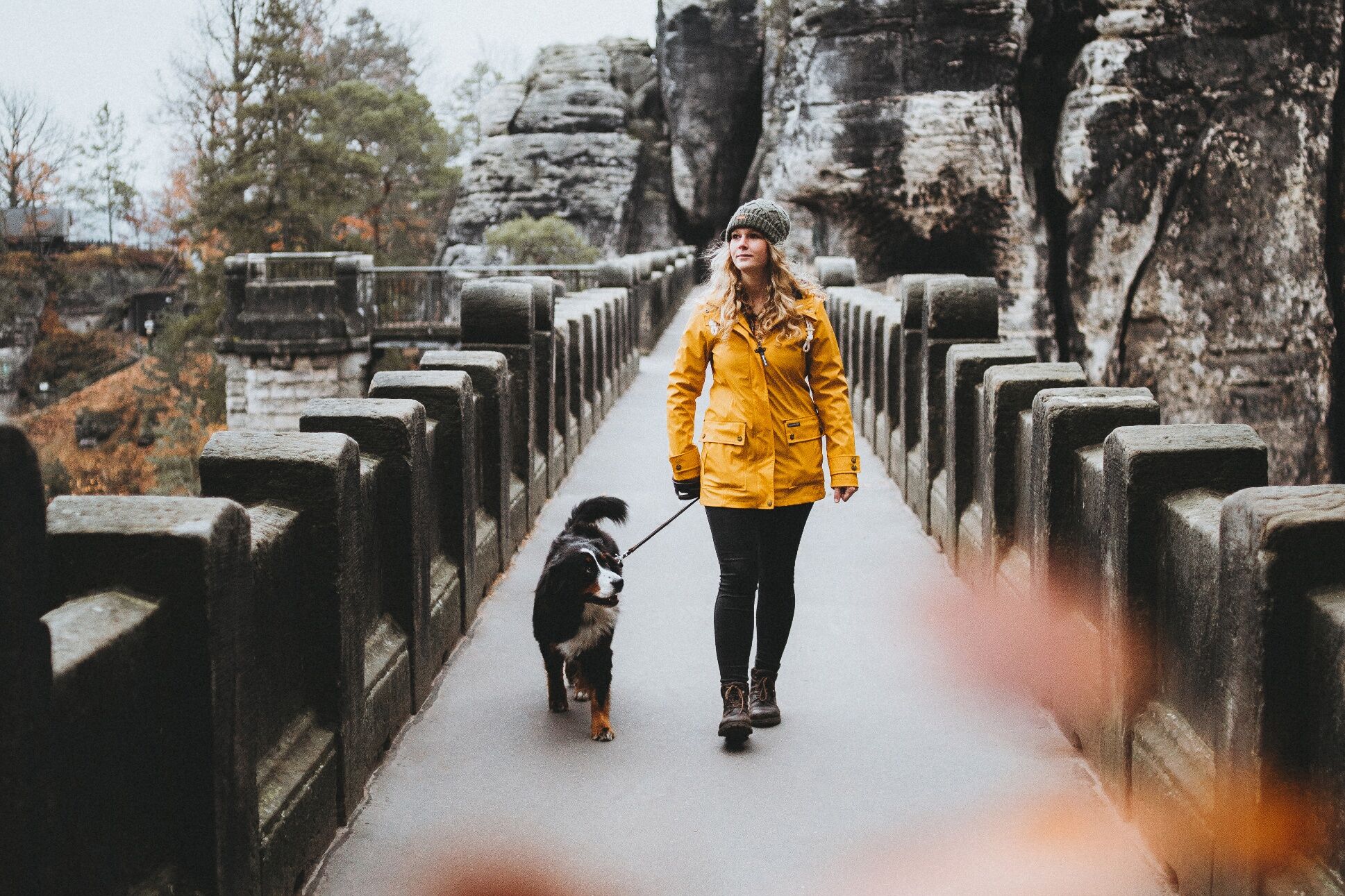
This stage of the Malerweg should be easily manageable with a dog.
2nd stage (approx. 13.8 km / 5.5 hrs.) From Stadt Wehlen to Hohnstein
Bypass the Wolf Gorge via the Hohnstein nature trail.
3rd stage (14.0 km / 5.5 hrs. )From Hohnstein to Altendorf This stage of the Malerweg is also unproblematic with a dog.
4th stage (19 km / 7.5 hrs.) From Altendorf to Neumannmühle
From Altendorf you descend through the Dorfbachklamm and take the turnoff to the left. This allows for a comfortable hike to the Ostrau mill. The Malerweg leads uphill via the Mühlweg and the Bauweg onto the Elbleitenweg into the Schrammsteine. The Jägersteig ascent is bypassed via the Elbleitenweg and Zeughausweg. The end of the stage is the Lichtenhainer waterfall with connection point to the Kirnitzschtalbahn.
5th stage (13.6 km / 7 hours) From Neumannmühle to Schmilka
Hiking with dog is possible on this stage.
6th stage (17.6 km / 7 hrs.) From Schmilka to the spa town of Gohrisch
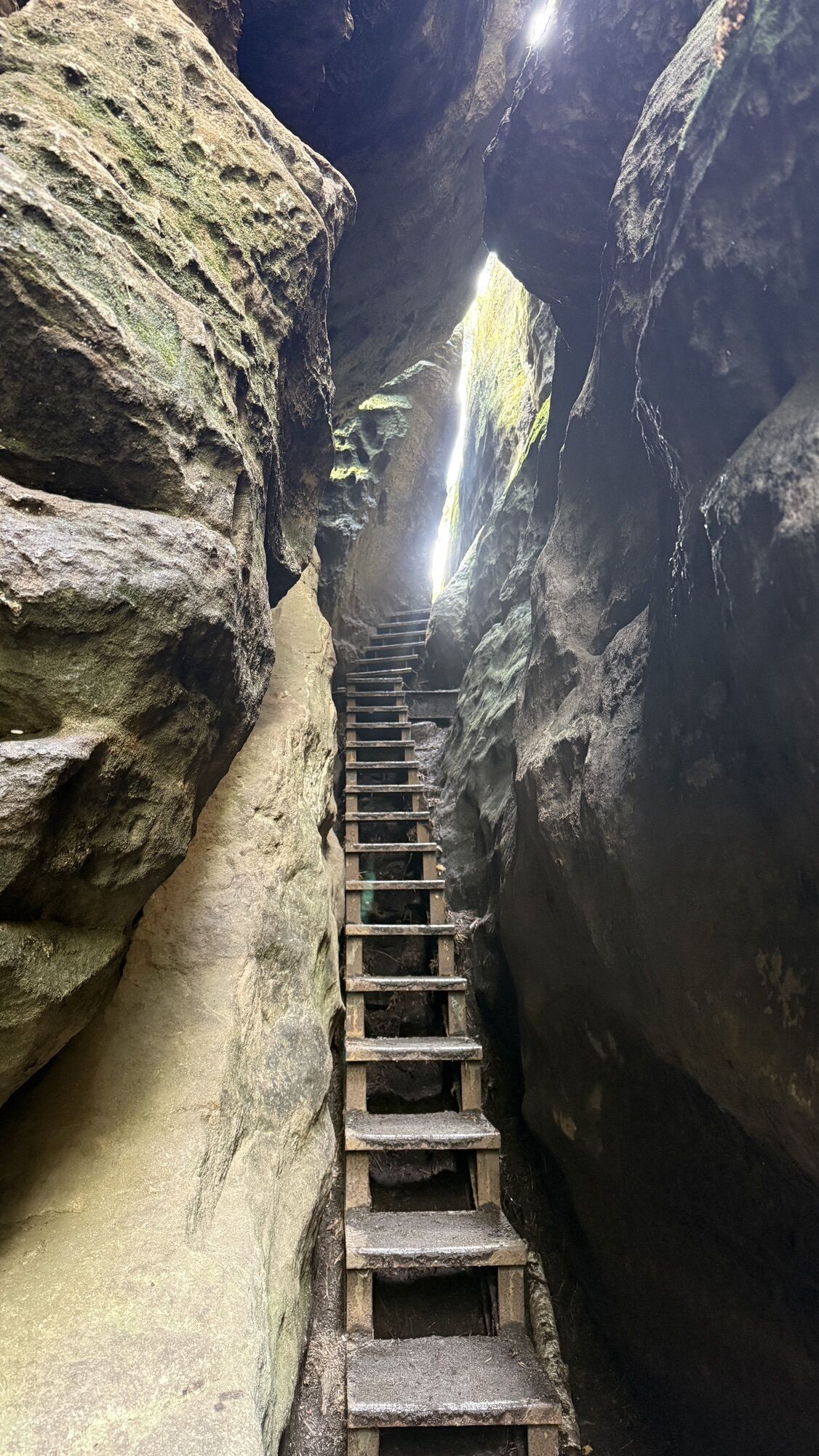
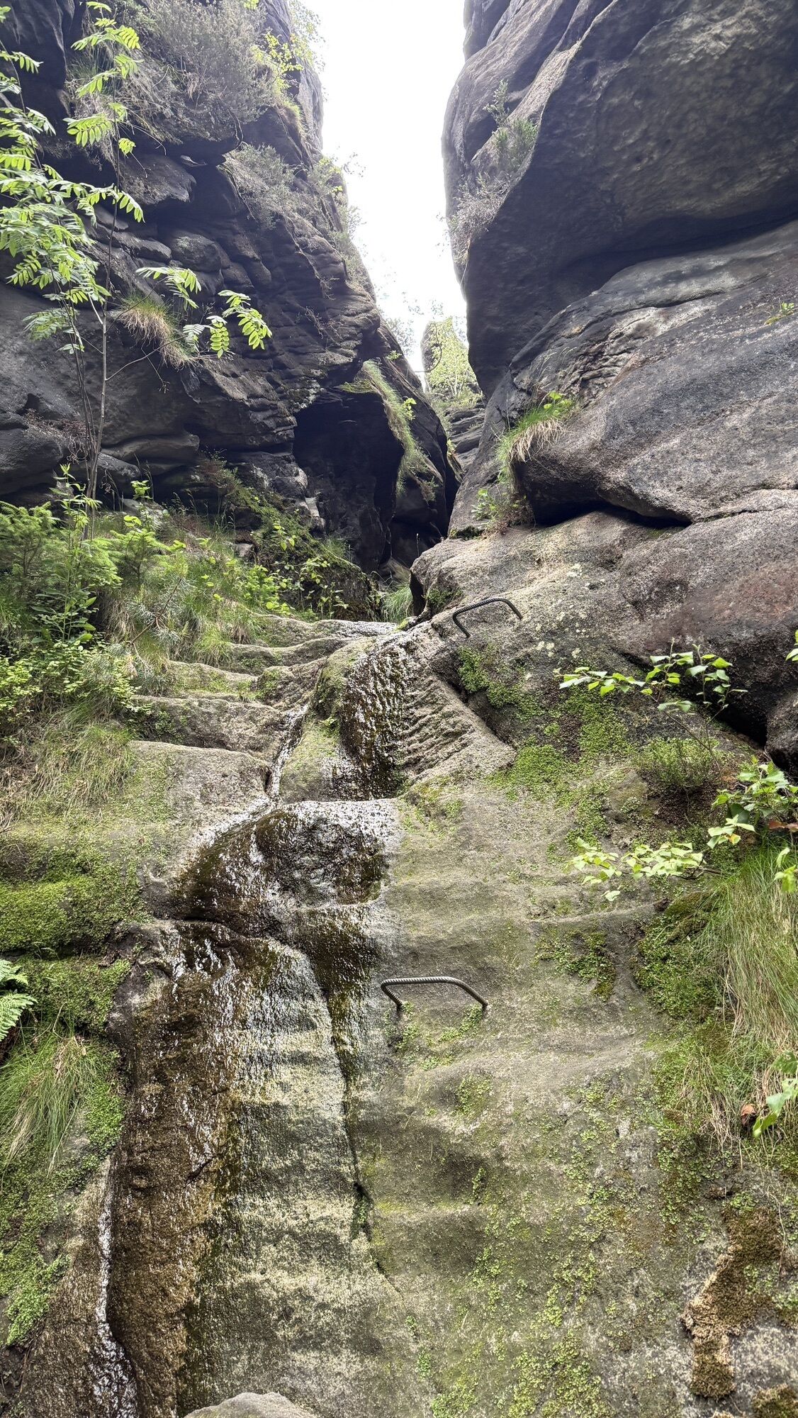
Also on the 6th stage there are difficulties for the four-legged companion only on the Gohrischstein. To avoid the iron ladders it is recommended to bypass Gohrisch, which is possible in both directions.
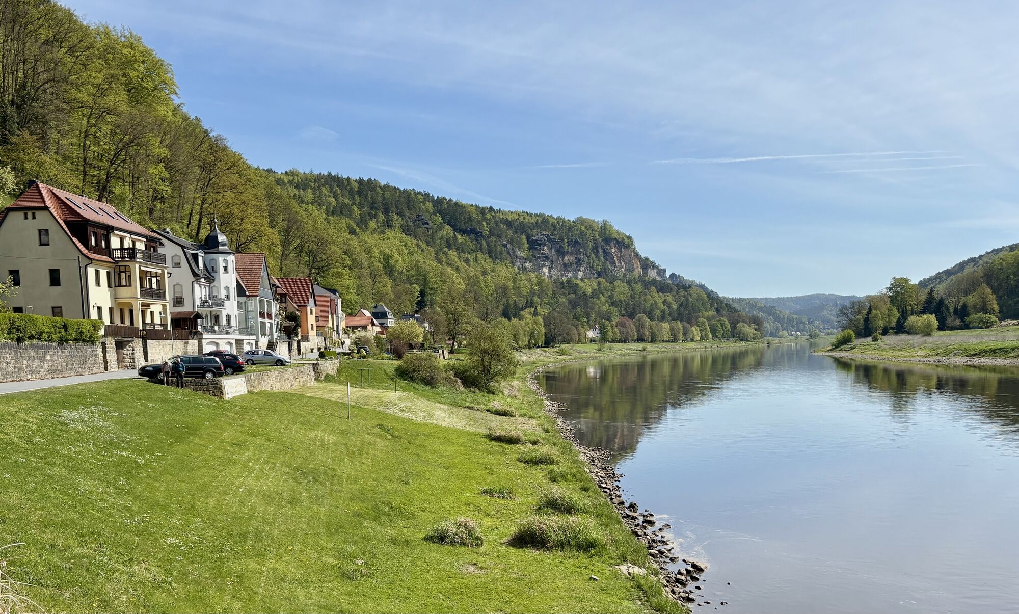
7th stage (17.3 km / 6.5 hrs.) From the spa town of Gohrisch to Weißig
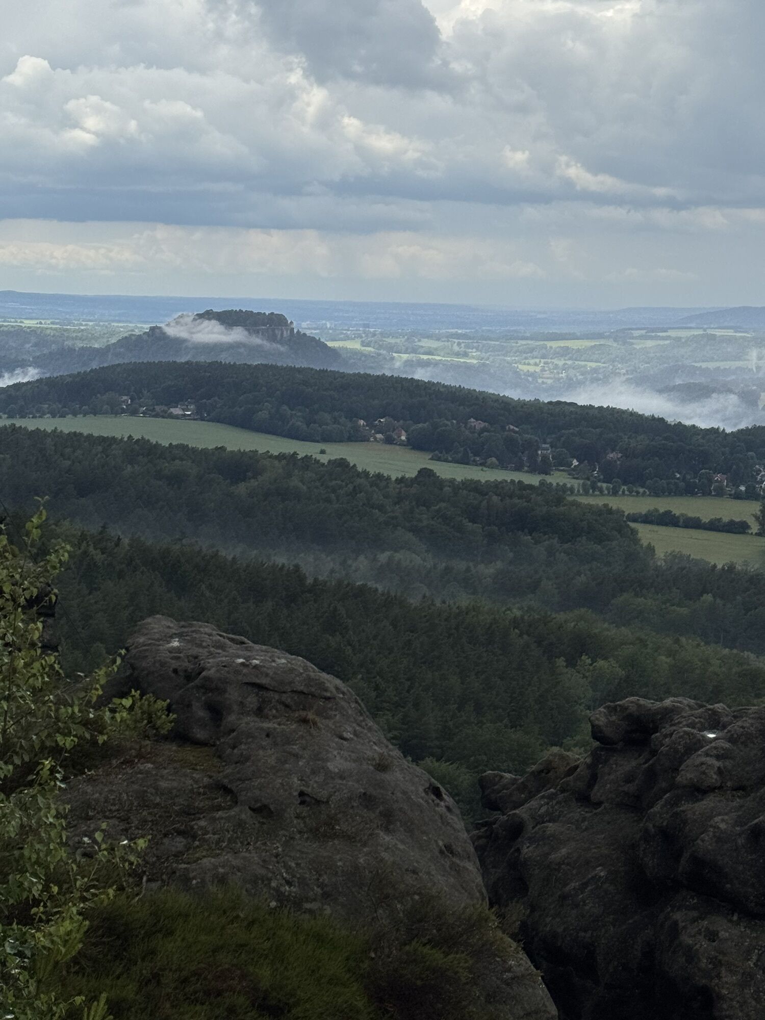
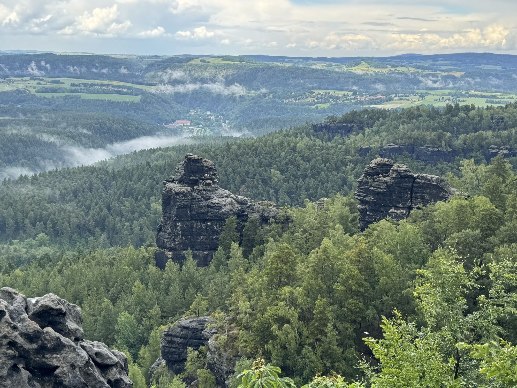
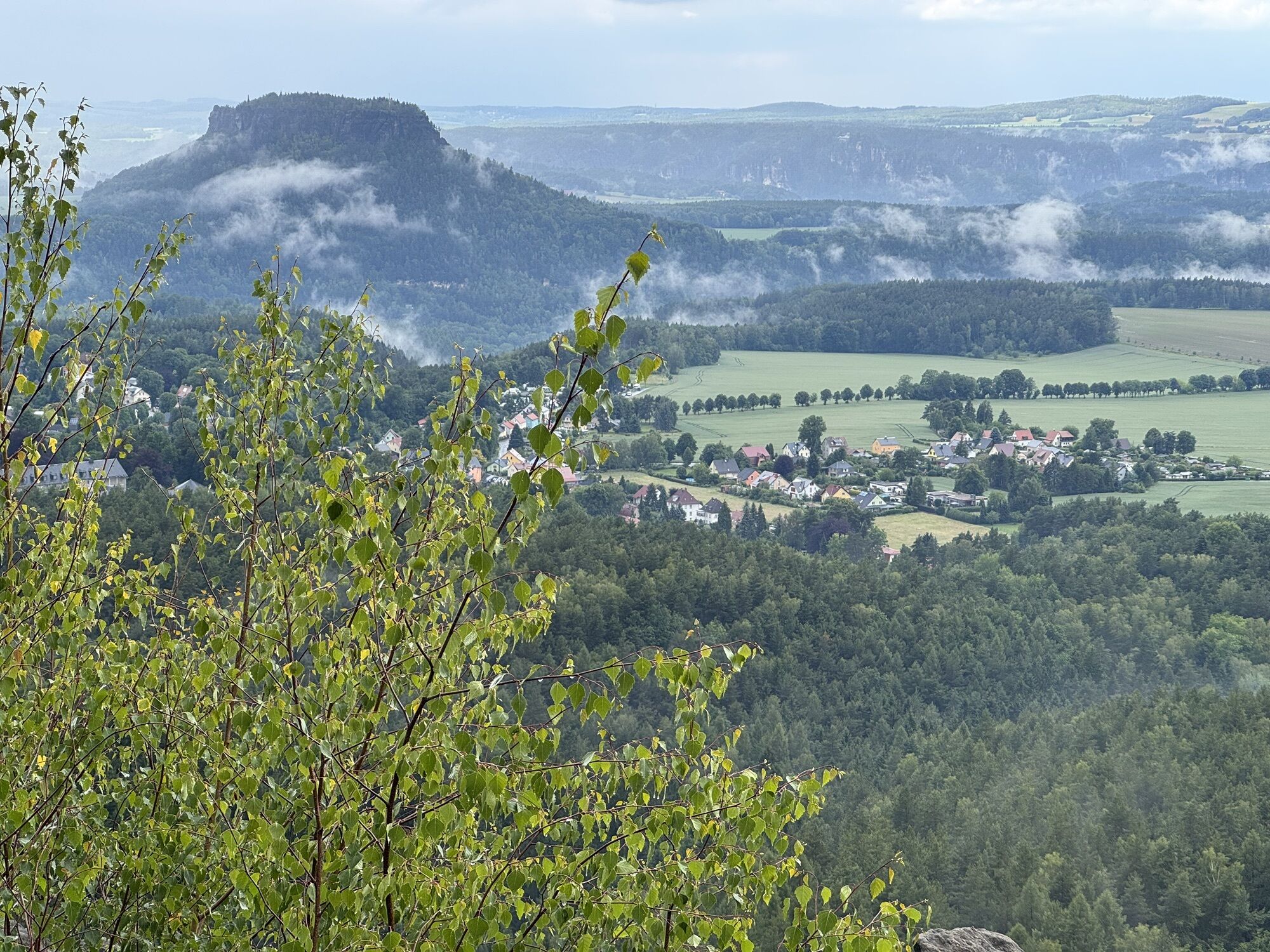
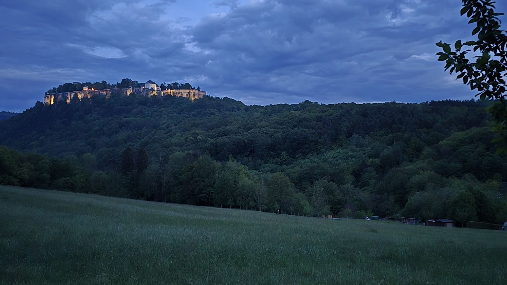
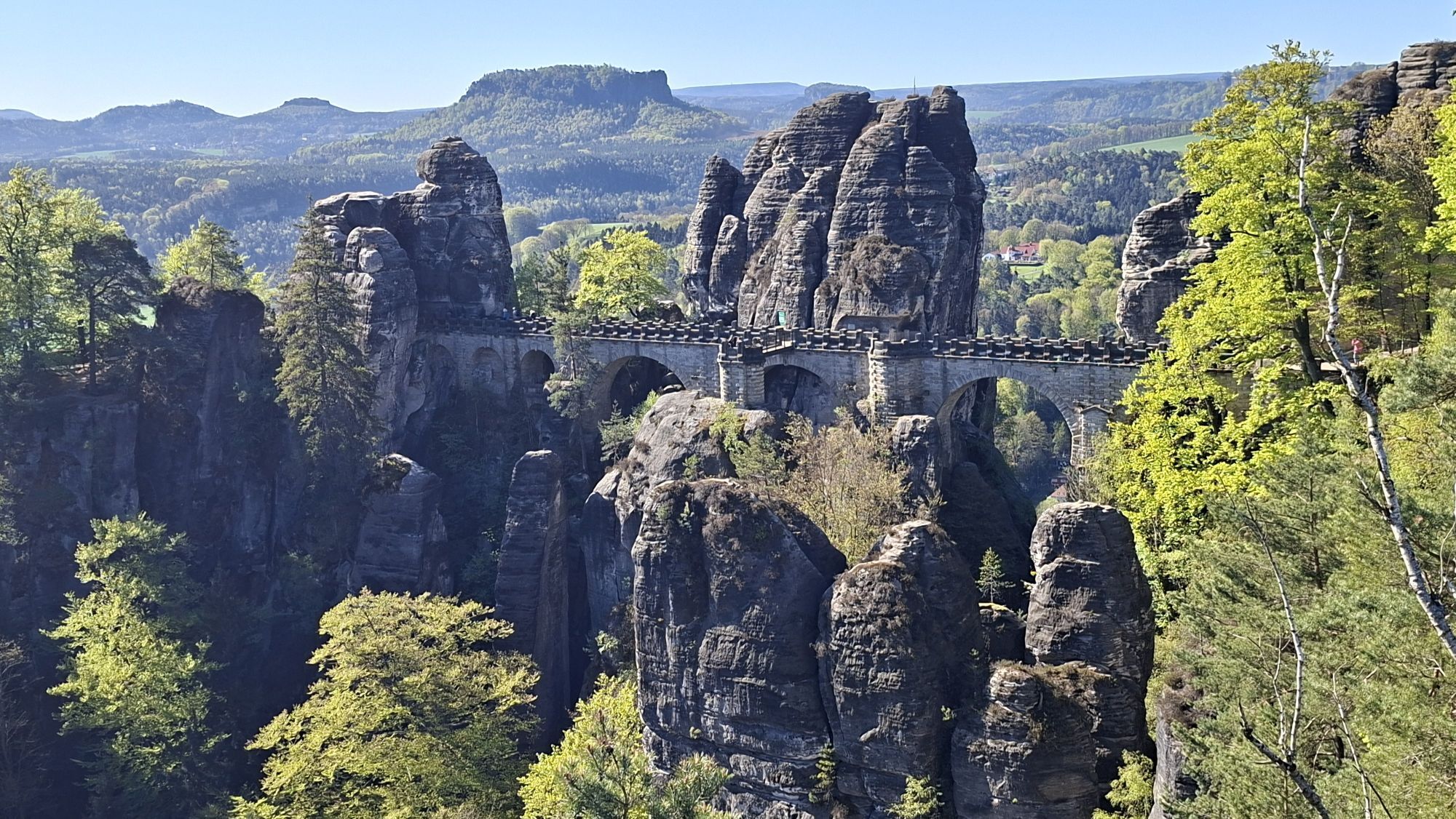
From the spa town of Gohrisch, the Muselweg, the Jagdsteig, the Königsweg and the Alte Schulweg lead hiking enthusiasts to Pfaffendorf. In order to climb the Paffenstein, an alternative to the "Nadelöhr" ascent should be chosen at this point. Arrived on the Pfaffenstein, man and dog are offered a view of the legendary Barbarine, a landmark of Saxon Switzerland. In the direction of Quirl, you can descend via the Klammweg. On the northeast side of the Quirl there is a large accessible cave, called Diebeshöhle, which is worth exploring. Via the nearby Latzweg you reach the foot of the Königstein Fortress, which is worth a visit even with a dog, but you should then allow enough time.
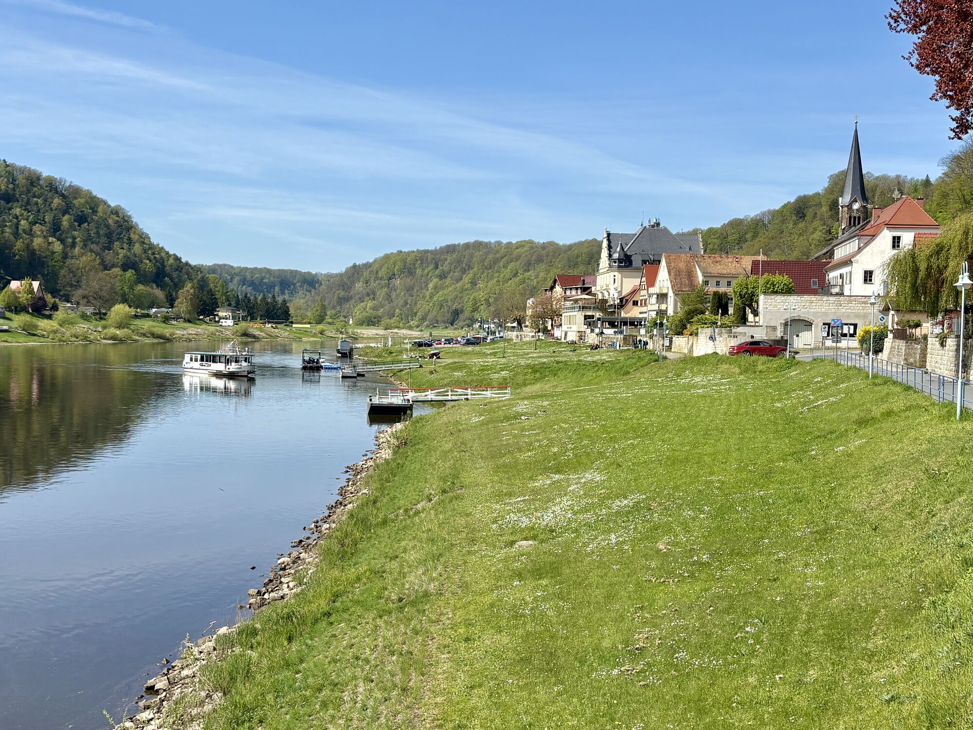
8th stage (13.6 km / 5 hours) From Weißig to Pirna
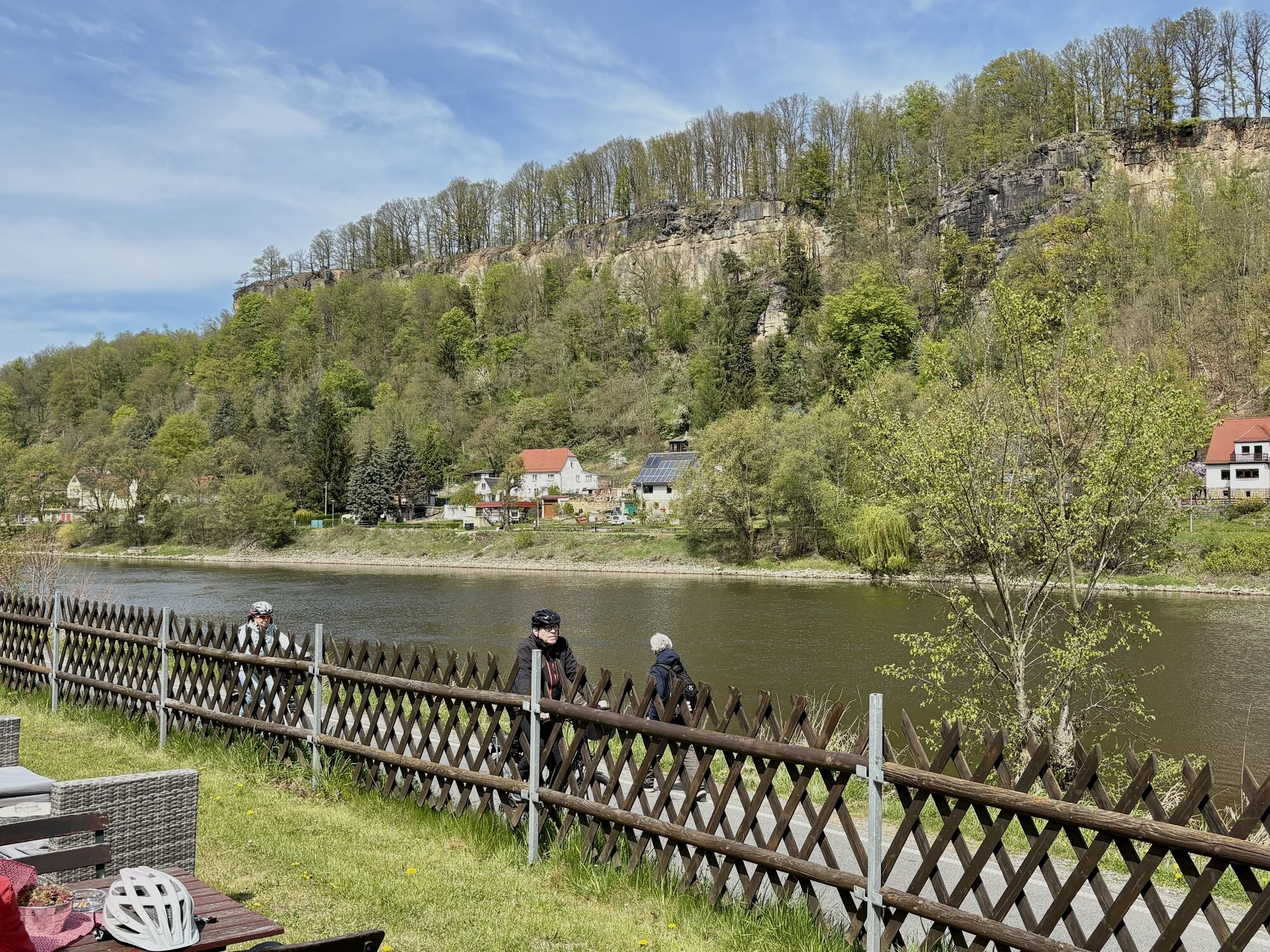
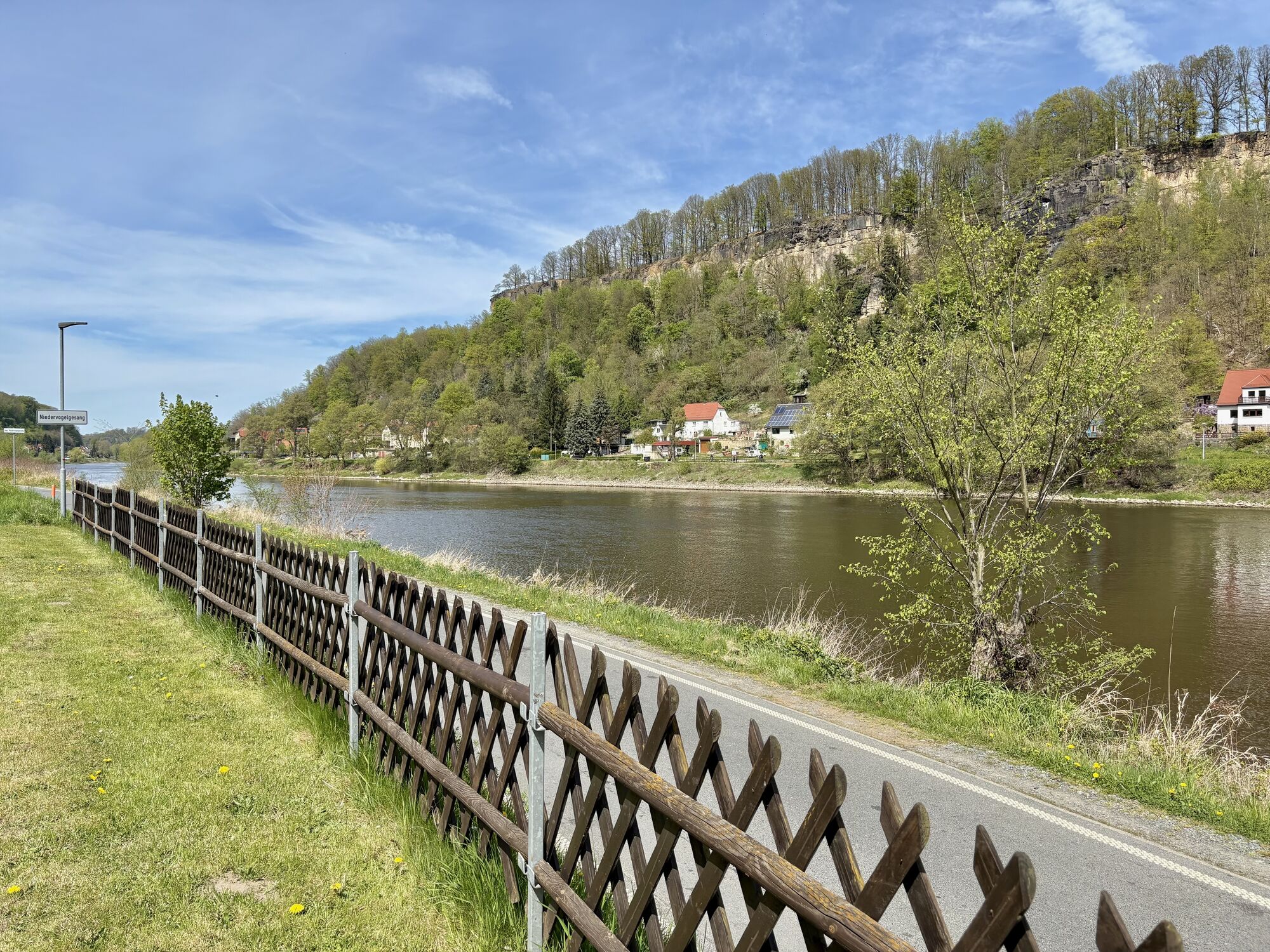
On the last stage of the Malerweg, the massif of the Rauenstein can be bypassed on the forest road. This way you will reach Wehlen-Pötzscha and Naundorf. In the center of Naundorf, the Malerweg leads to the Königsnase over former quarries and on to Obervogelgesang. At this point you can board the suburban train. From there follow the Elberadweg in the direction of Pirna, then turn right to join the Canalettoweg, which leads to the town center of Pirna.
Browse here: Malerweg Shop
You can find all information about the journey here.
You can find more information about parking here.
This hike is also good for people who have a slight fear of heights and/or want to avoid ladders.
Webcams der Tour
Krippen - Hönel Hof
Wachberg
Wachberg
Wachberg
Wachberg
Wachberg
Wachberg
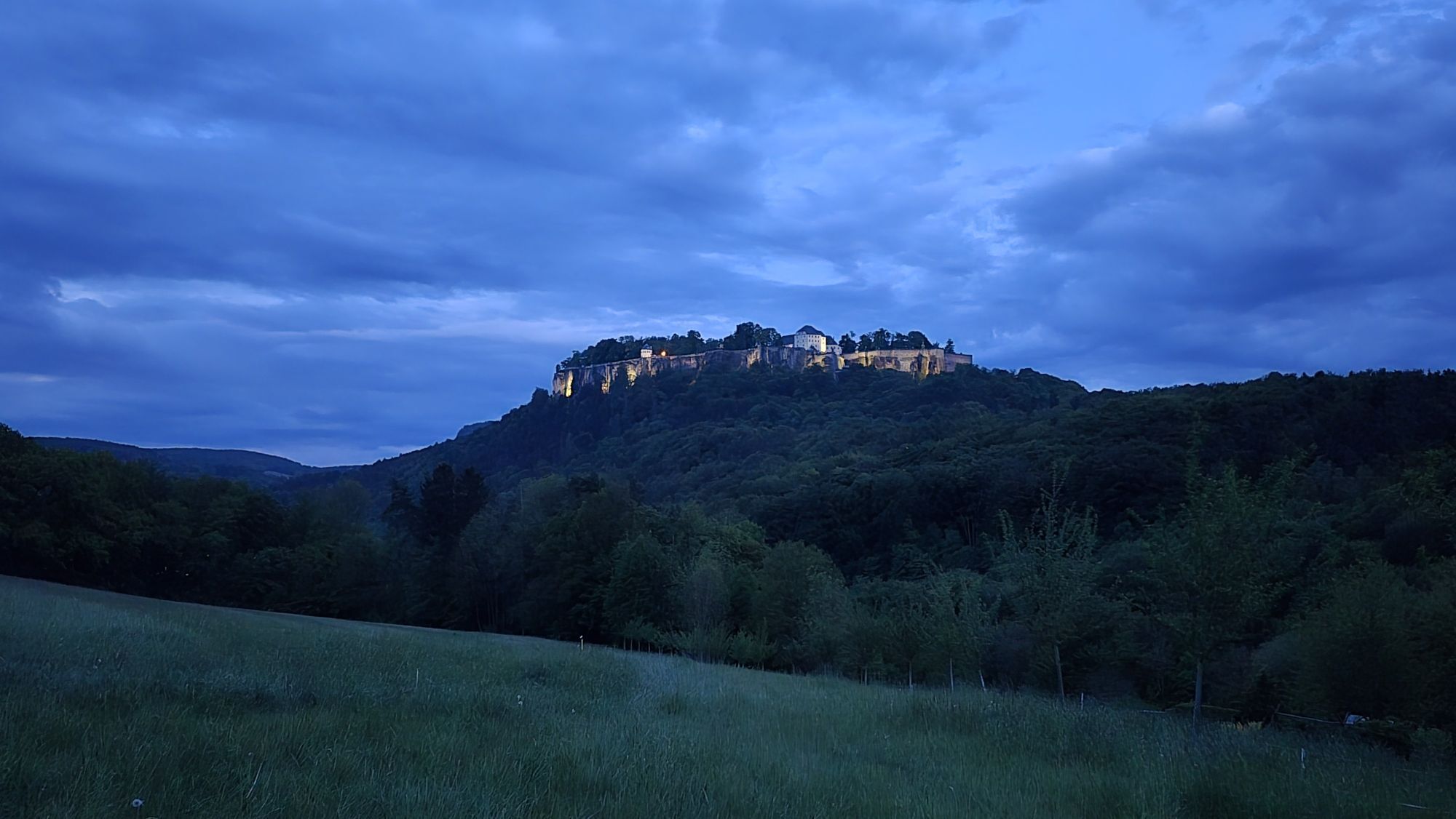
Burgstadt Hohnstein
Burgstadt Hohnstein
Burgstadt Hohnstein
Burgstadt Hohnstein
Nationalparkbahnhof
Nationalparkbahnhof
Nationalparkbahnhof
Nationalparkbahnhof
Nationalparkbahnhof
Nationalparkbahnhof
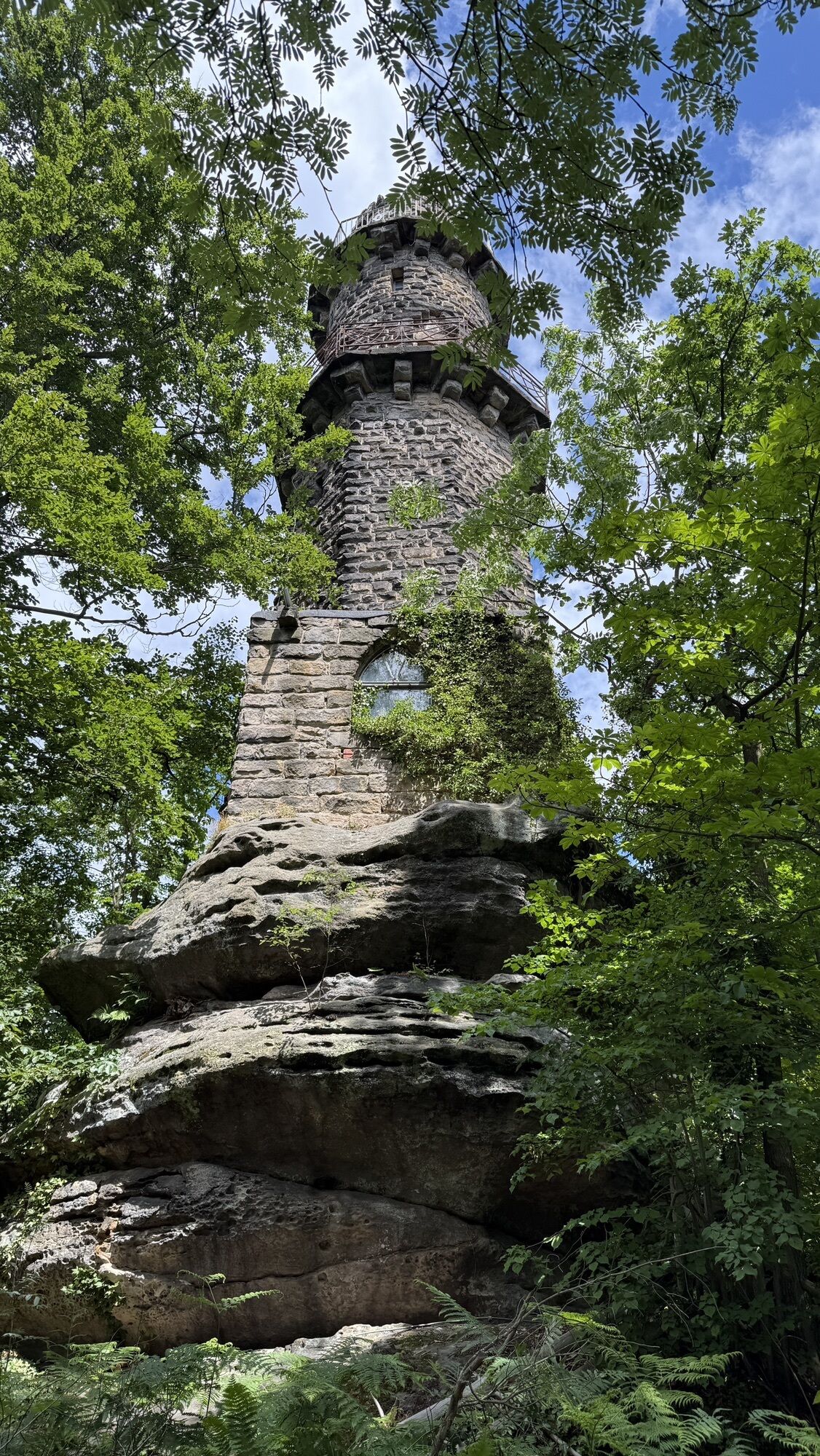
Aussichtsturm Rathmannsdorf
Aussichtsturm Rathmannsdorf
Aussichtsturm Rathmannsdorf
Aussichtsturm Rathmannsdorf
Aussichtsturm Rathmannsdorf
Aussichtsturm Rathmannsdorf
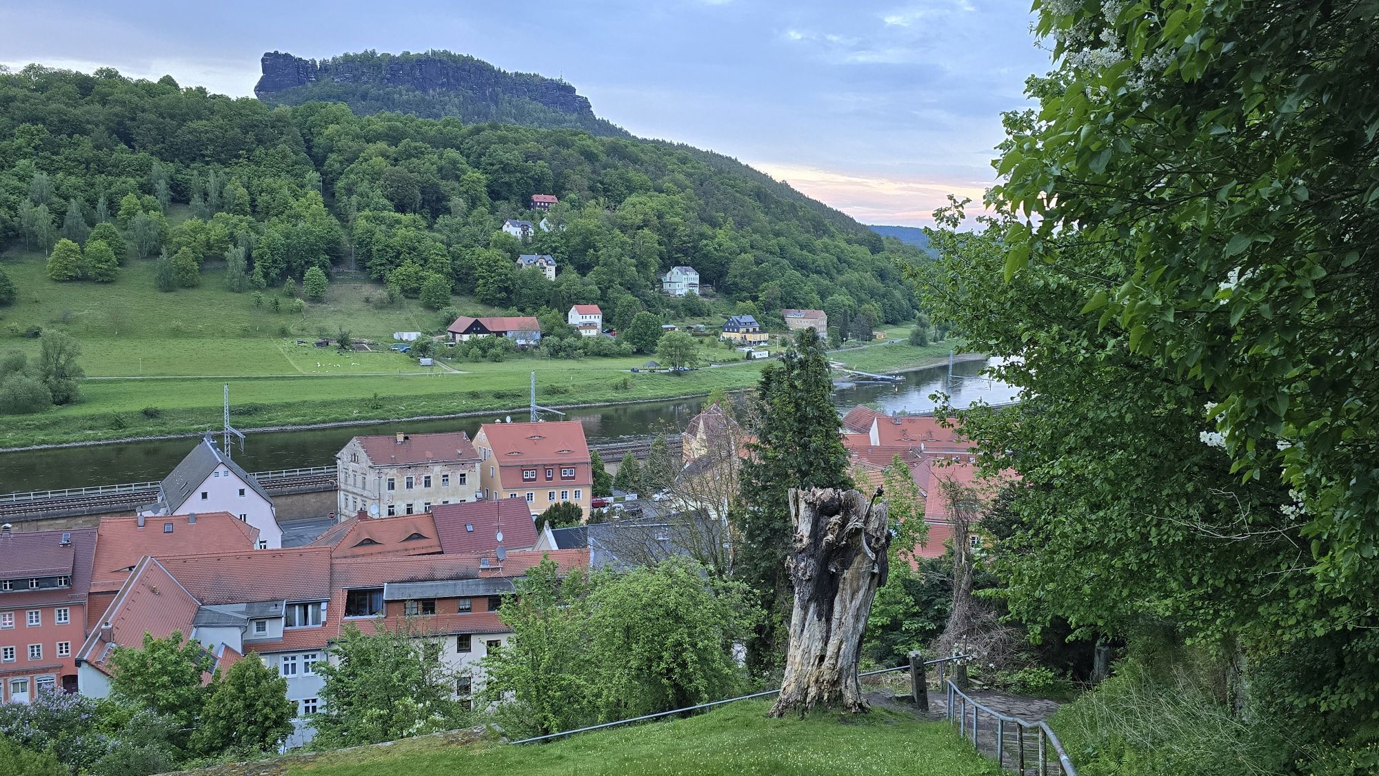
Oberrathen
Oberrathen
Oberrathen
Oberrathen
Oberrathen
Oberrathen
Burg Altrathen
Burg Altrathen
Burg Altrathen
Burg Altrathen
Burg Altrathen
Pirna
Burgstadt Hohnstein
Beliebte Touren in der Nähe
- 4,7
Rathen / Hockstein / Bastei / Rathen
mittelWanderung 14,4 km - 4,6
Von Rathewalde zur Bastei
Wanderung 12,8 km - 4,8
Rundwanderung Bastei Schwendenlöcher -Amselsee
leichtWanderung 6,21 km - 4,5
Kuhstall, Himmelsleiter und Schneiderloch
mittelWanderung 4,06 km - 4,7
Pfaffenstein Sachsen/Deutschland
mittelWanderung 3,89 km - 5,0
Basteibrücke
leichtWanderung 2,31 km - 5,0
Lilienstein
leichtWanderung 3,75 km - 5,0
Prebischtor
mittelWanderung 18,9 km - 4,9
entlang der Schrammsteine, Breite Kluft, Affenwand
mittelWanderung 11,6 km - 4,4
Kurort Rathen: Große Bastei-Runde
mittelWinterwandern 4,75 km
Wandern & Tracking


Verpasse keine Angebote und Inspirationen für deinen nächsten Urlaub
Deine E-Mail-Adresse wurde in den Verteiler eingetragen.