






Through the Liebethaler Grund: Pirna-Liebethal - Lohmen - Dürrröhrsdorf-Dittersbach
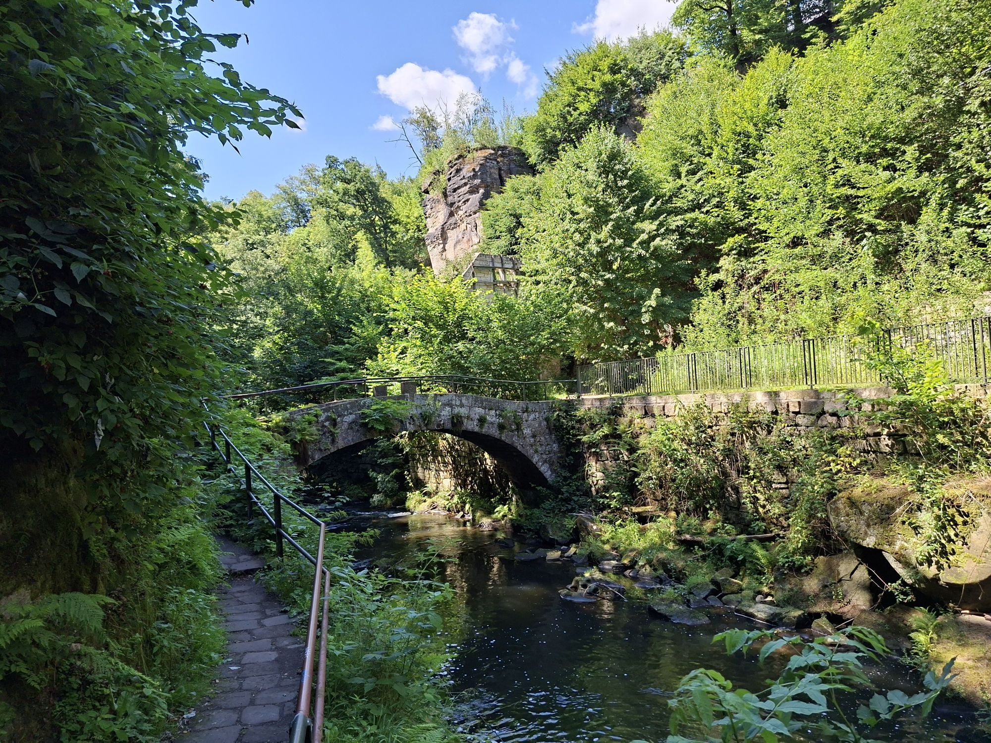
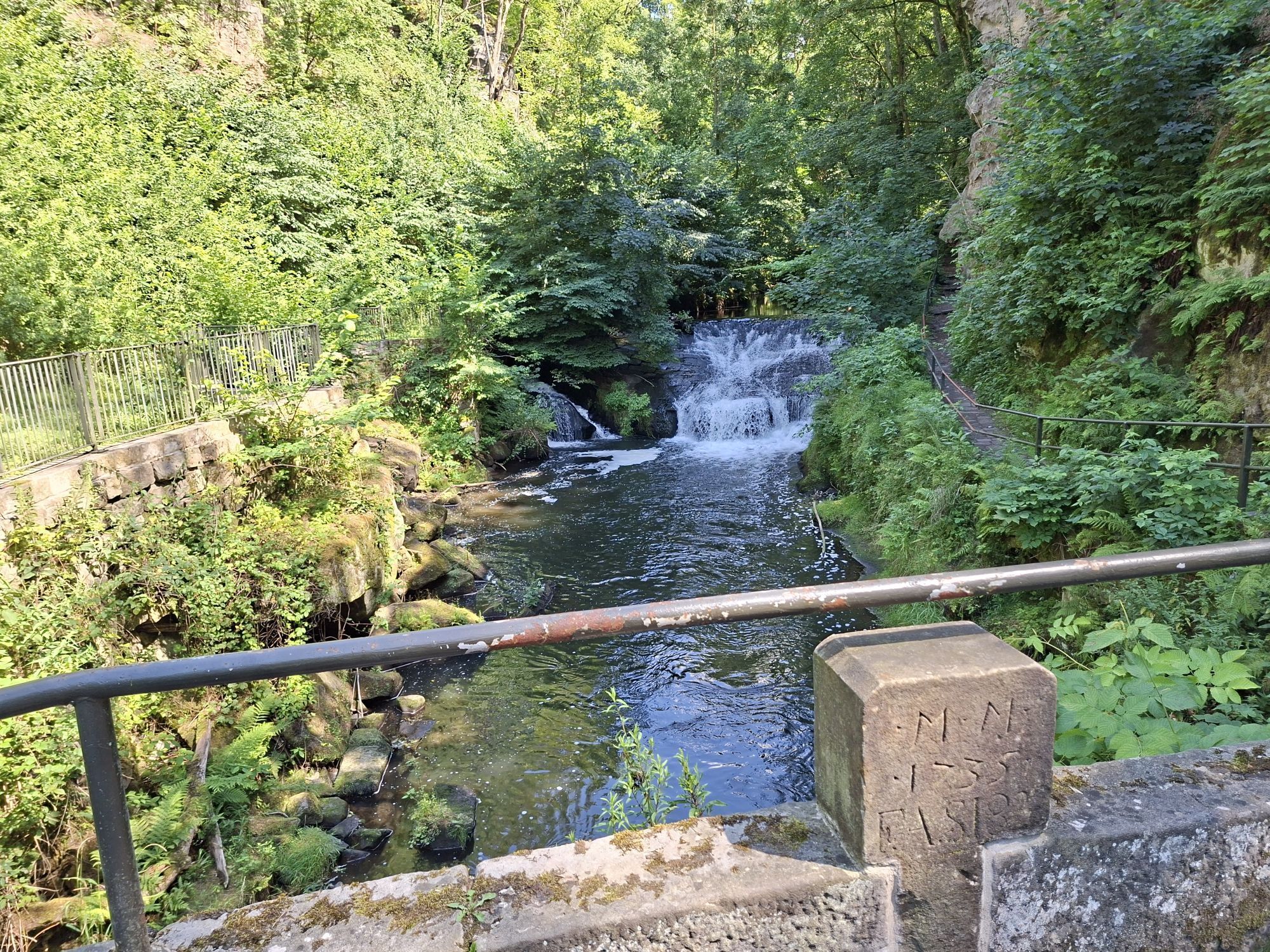
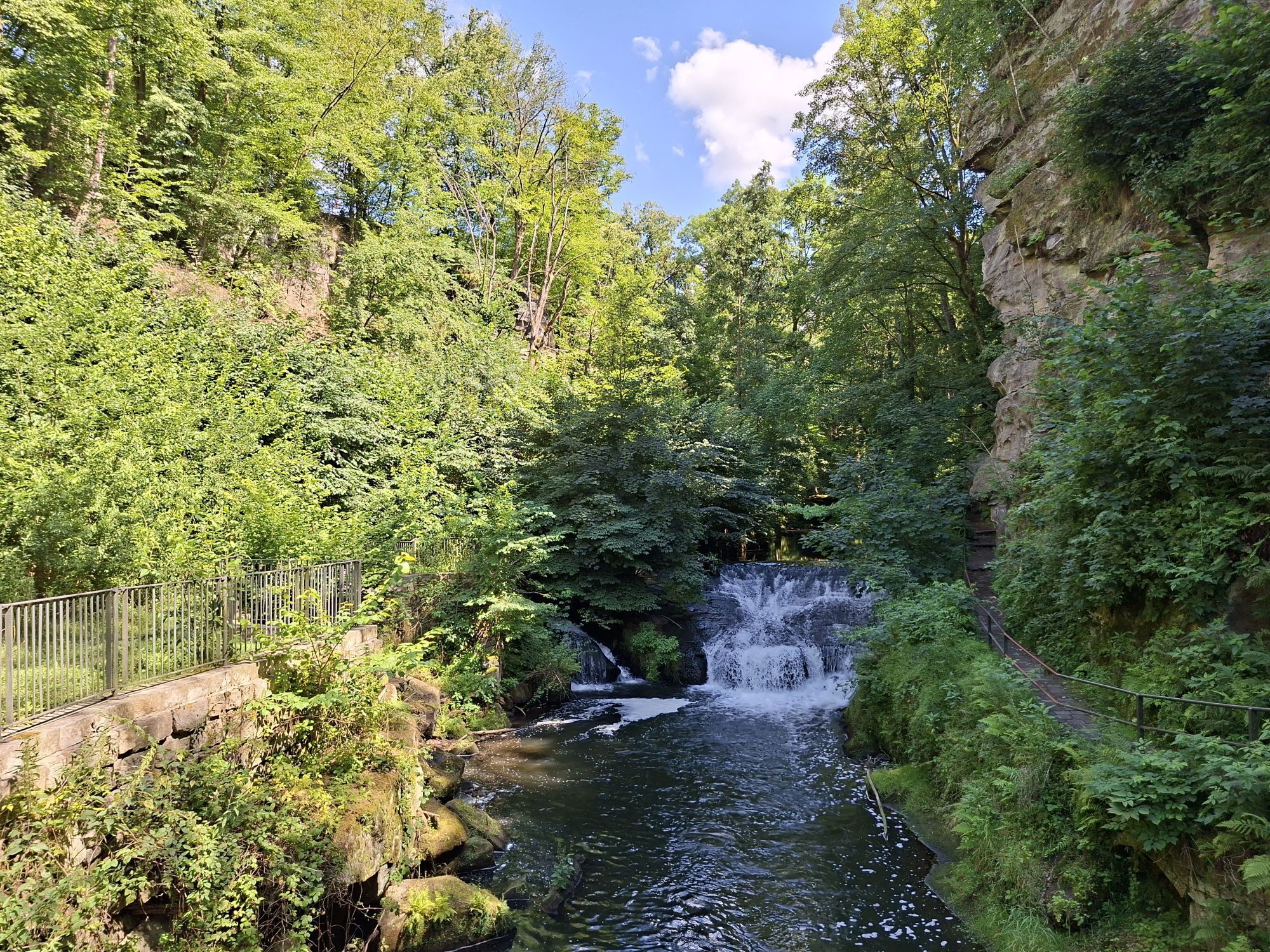
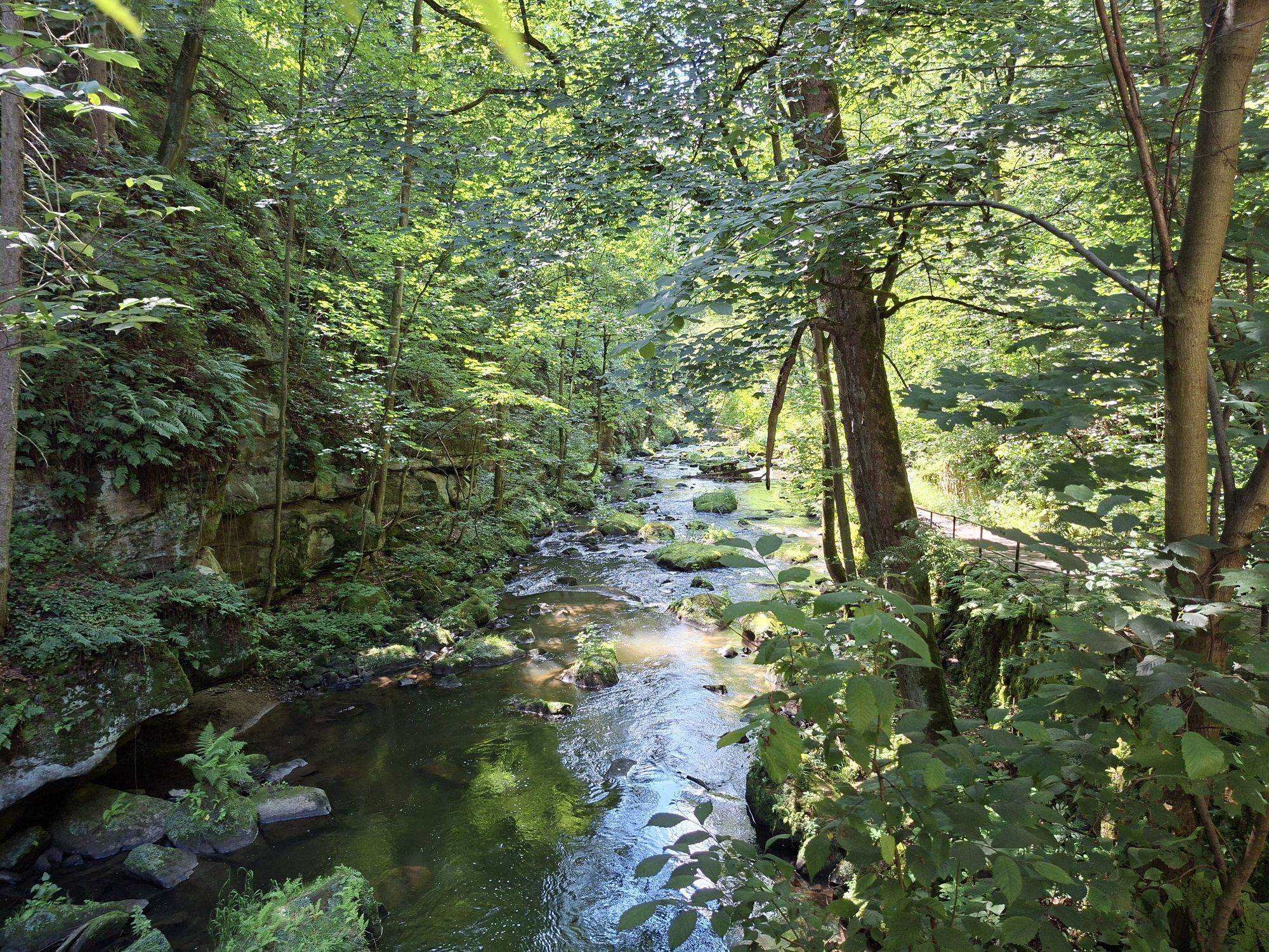
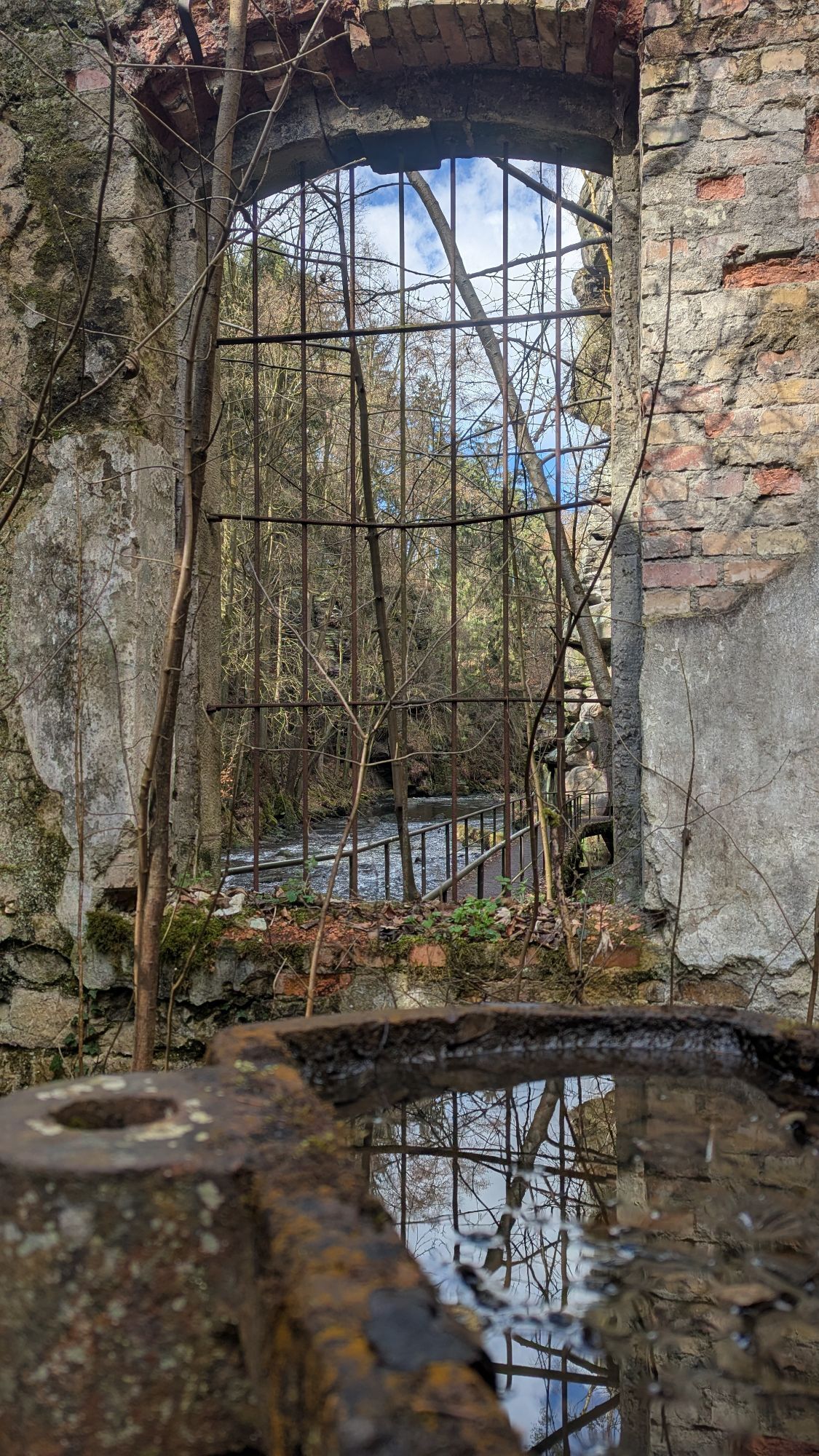
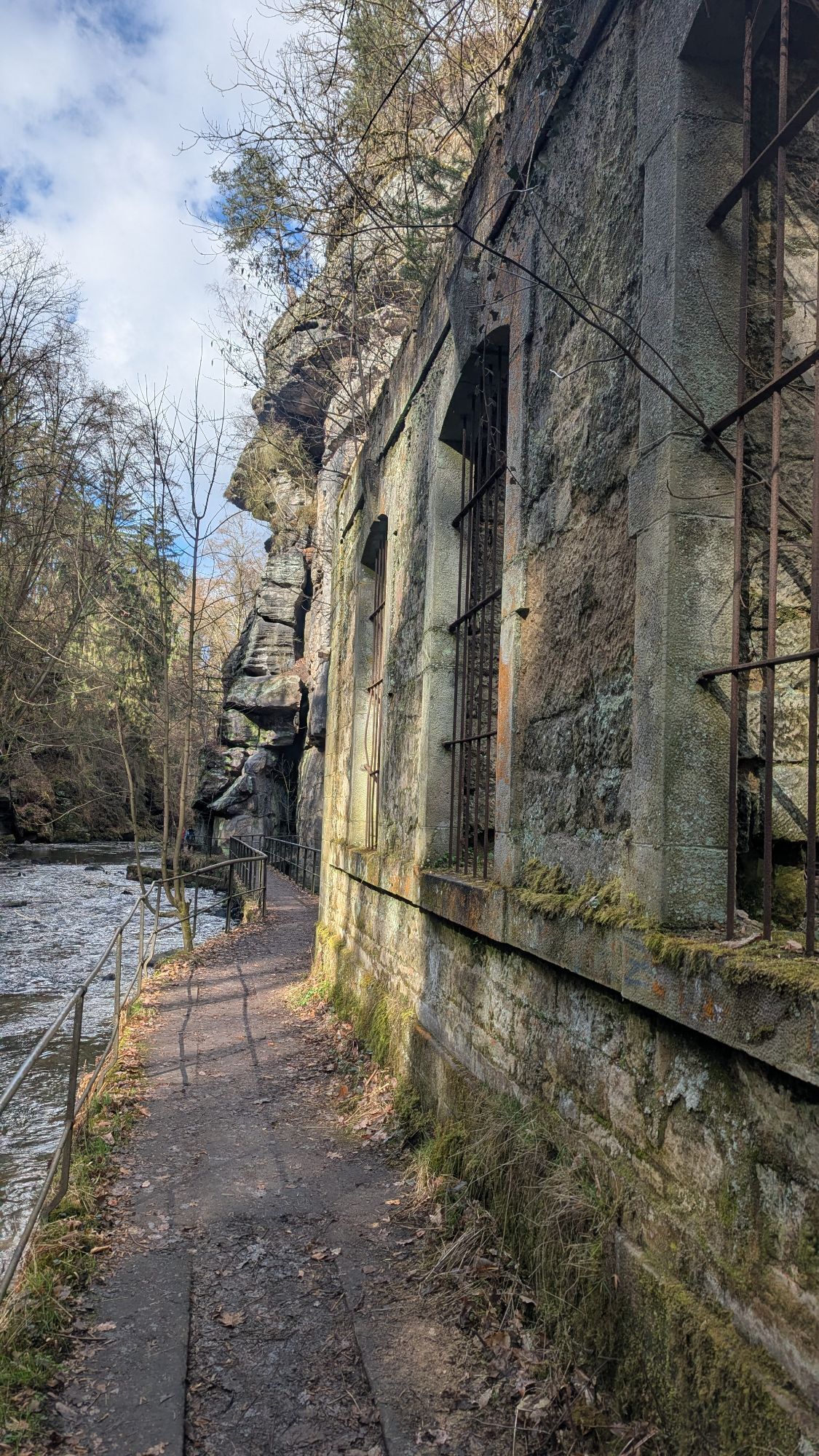
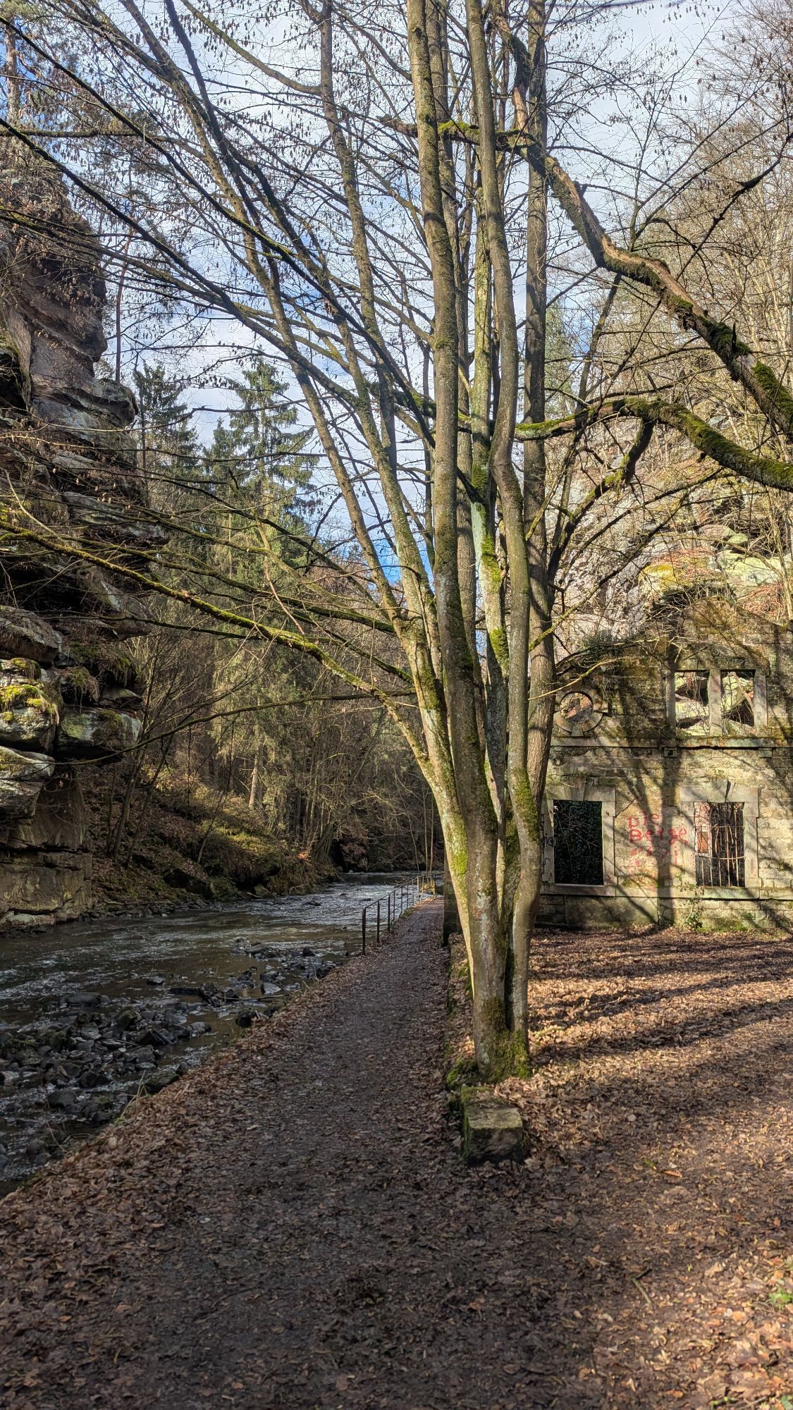
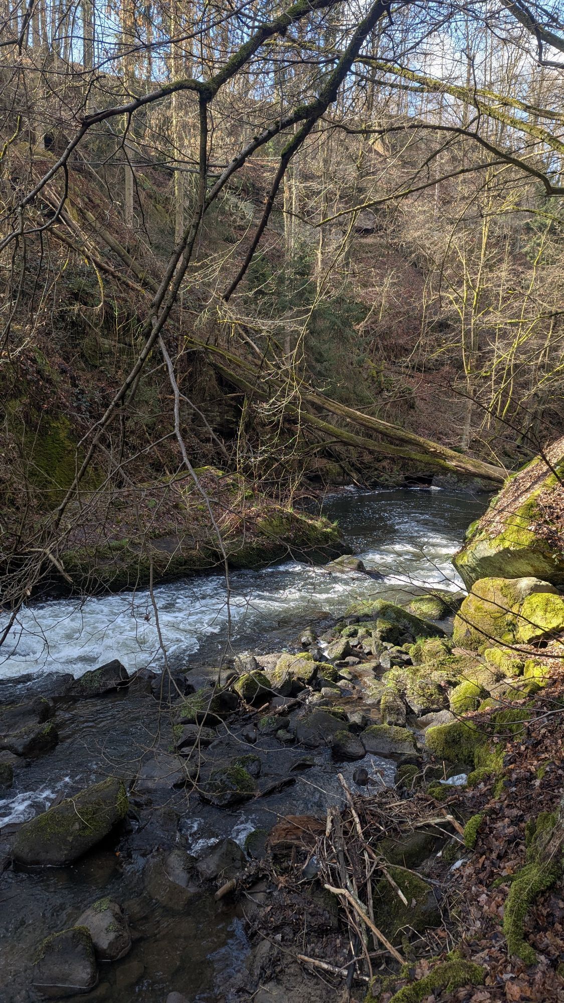

Liebethaler Grund - Malerweg (Markierung blauer Punkt) - Richard-Wagner-Denkmal - Lochmühle - Daubemühle - Lohmen "blauer Strich" - Mühlsdorf - Mühlleithe - Steinbruch - historisches Wasserwerk Niezelgrund...
Liebethaler Grund - Malerweg (Markierung blauer Punkt) - Richard-Wagner-Denkmal - Lochmühle - Daubemühle - Lohmen "blauer Strich" - Mühlsdorf - Mühlleithe - Steinbruch - historisches Wasserwerk Niezelgrund - Weg "gelber Strich" - Weg "grüner Strich" - Ausblick - Feld entlang - Wegmarkierung "gelber Punkt" / "grüner Strich" - Breiter Stein - Eisenbahngleise überqueren - Weg nach Dürrröhrsdorf-Dittersbach - Bahnbrücke - Bahnhof

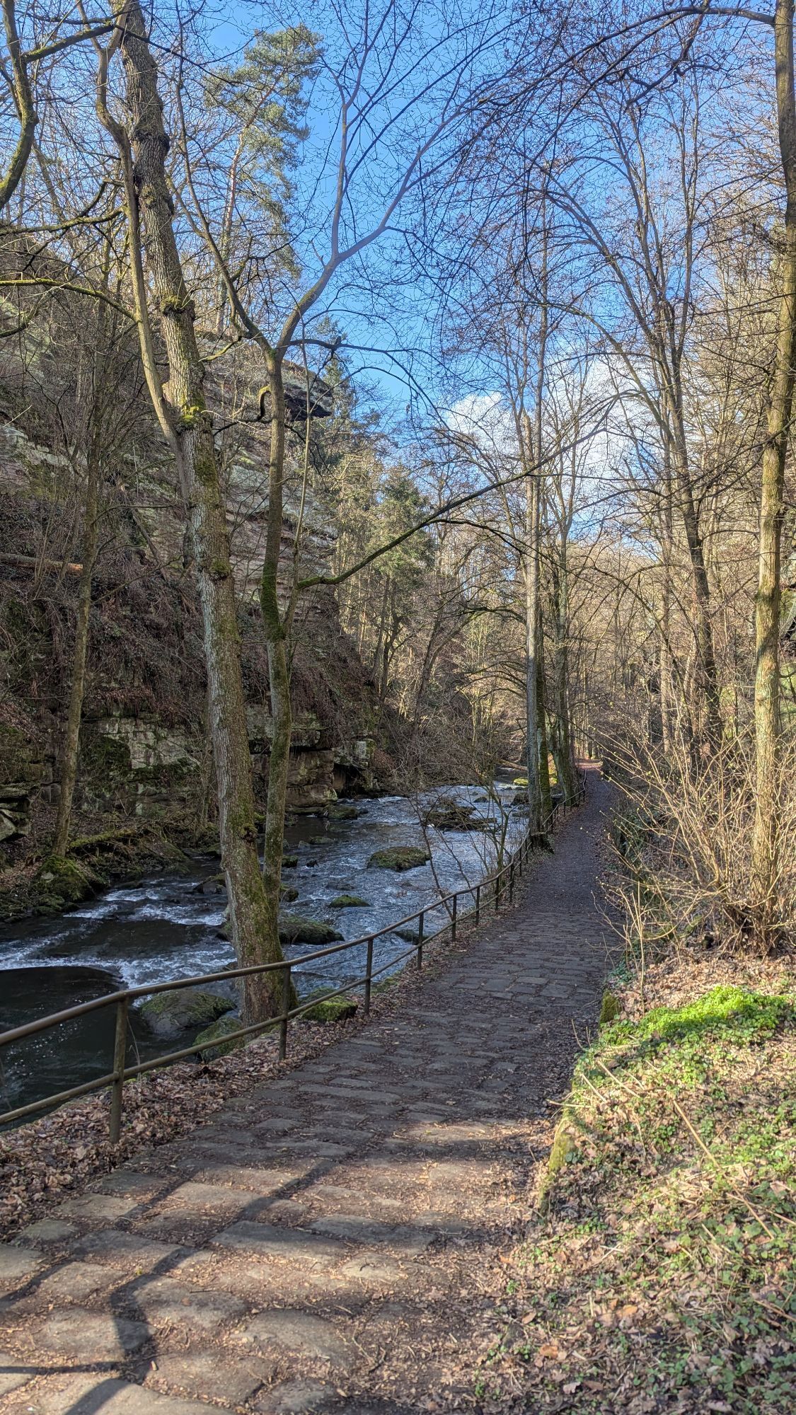
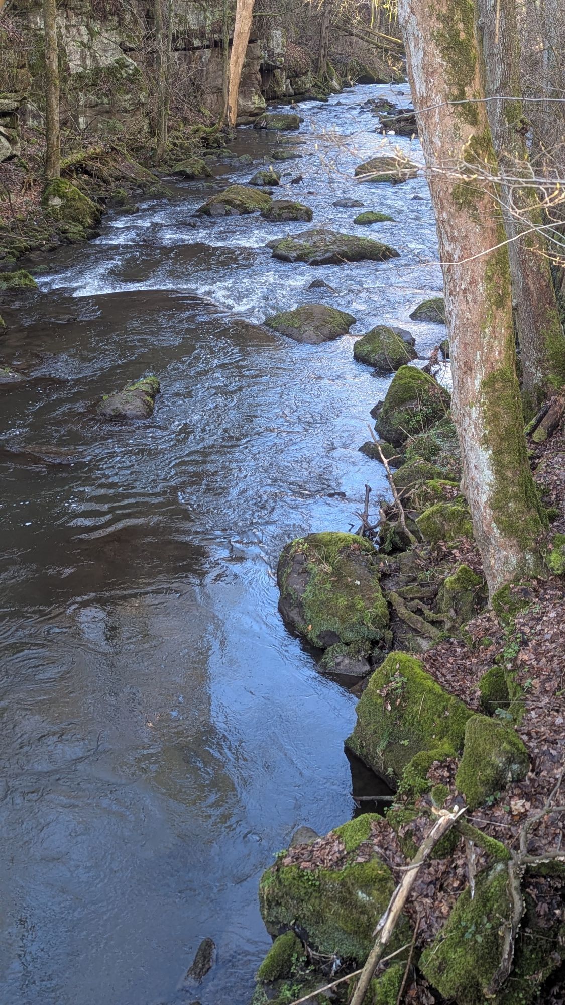
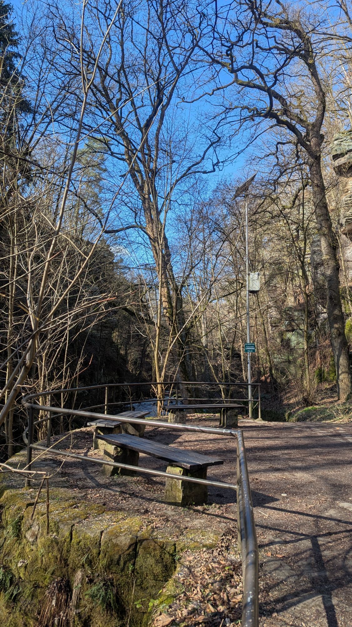
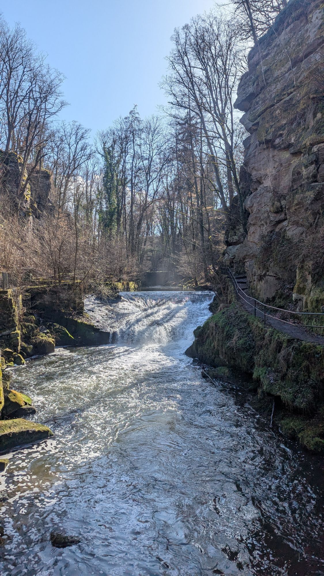
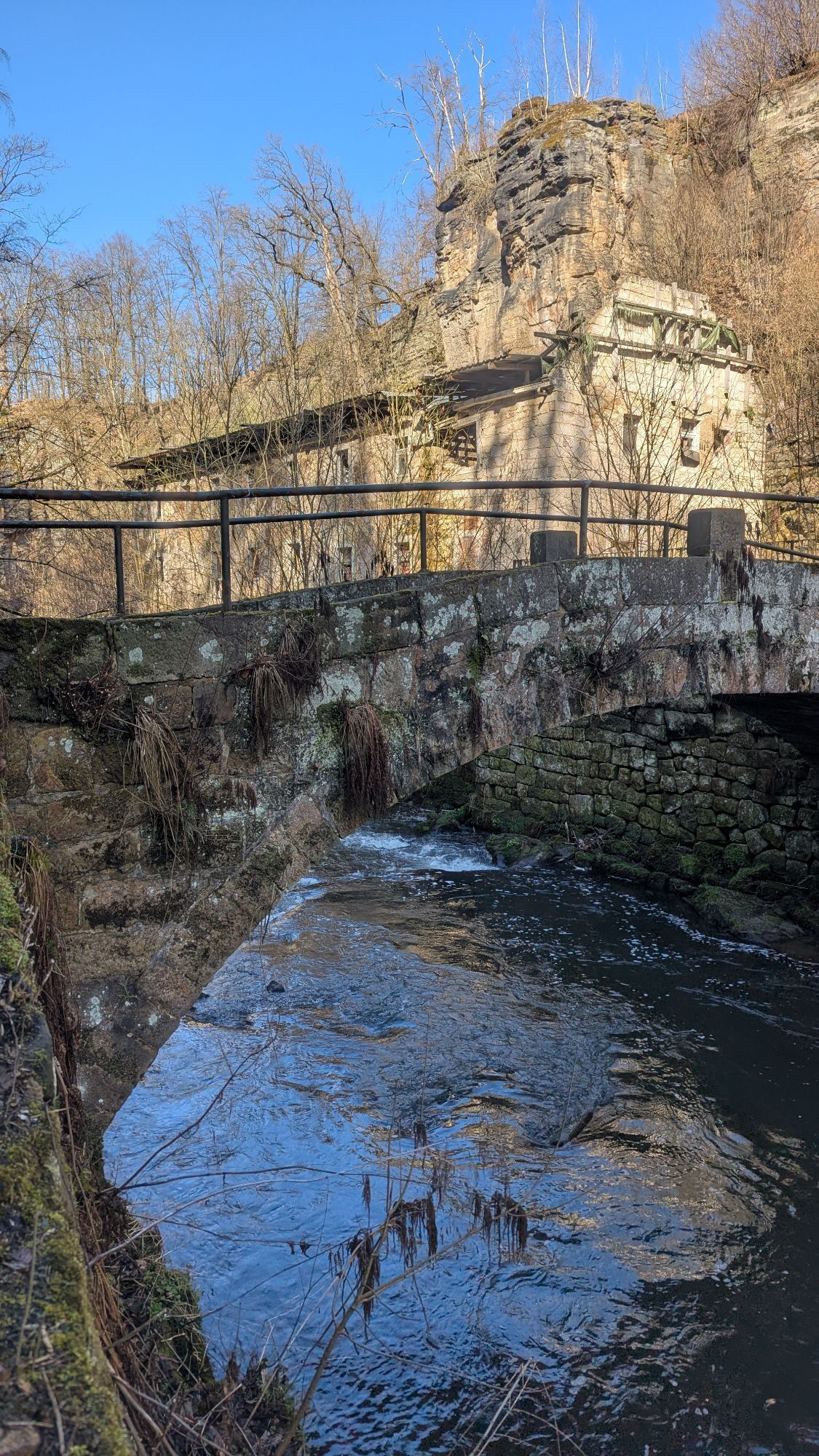
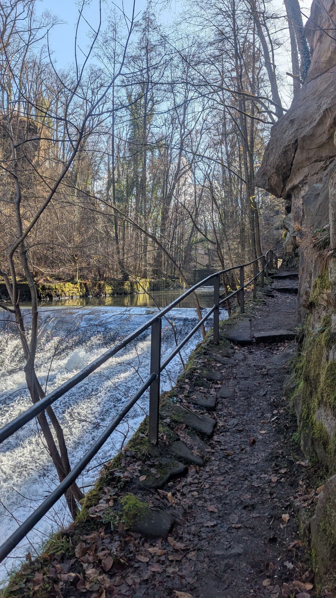
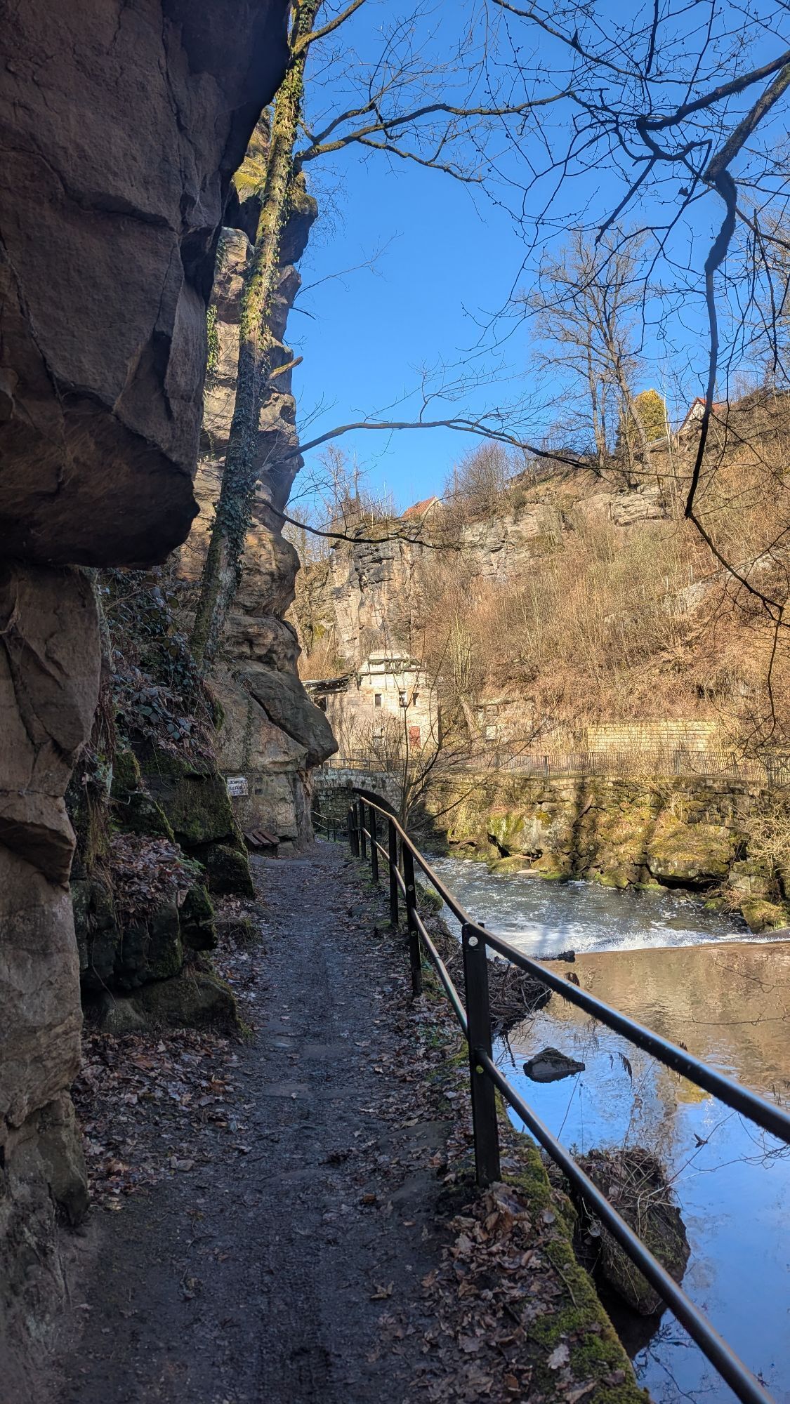
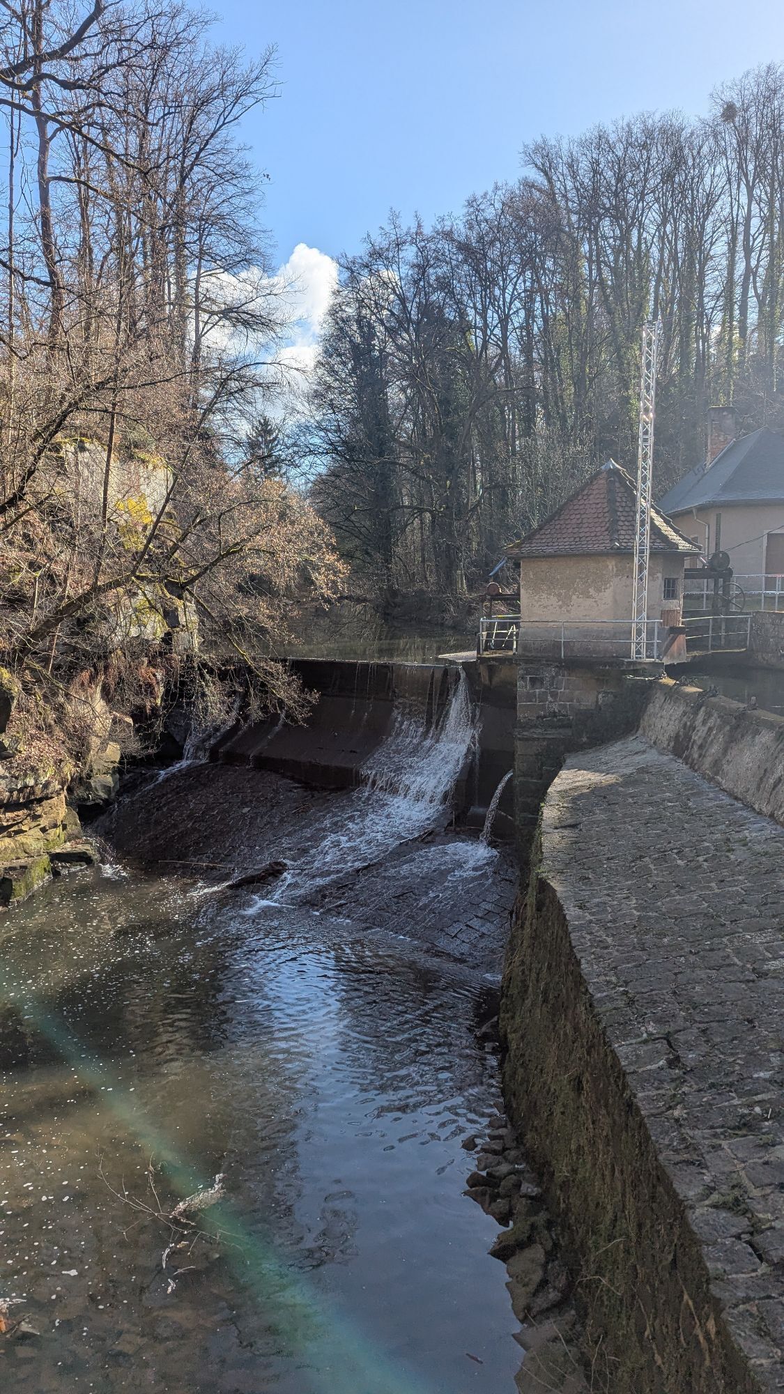
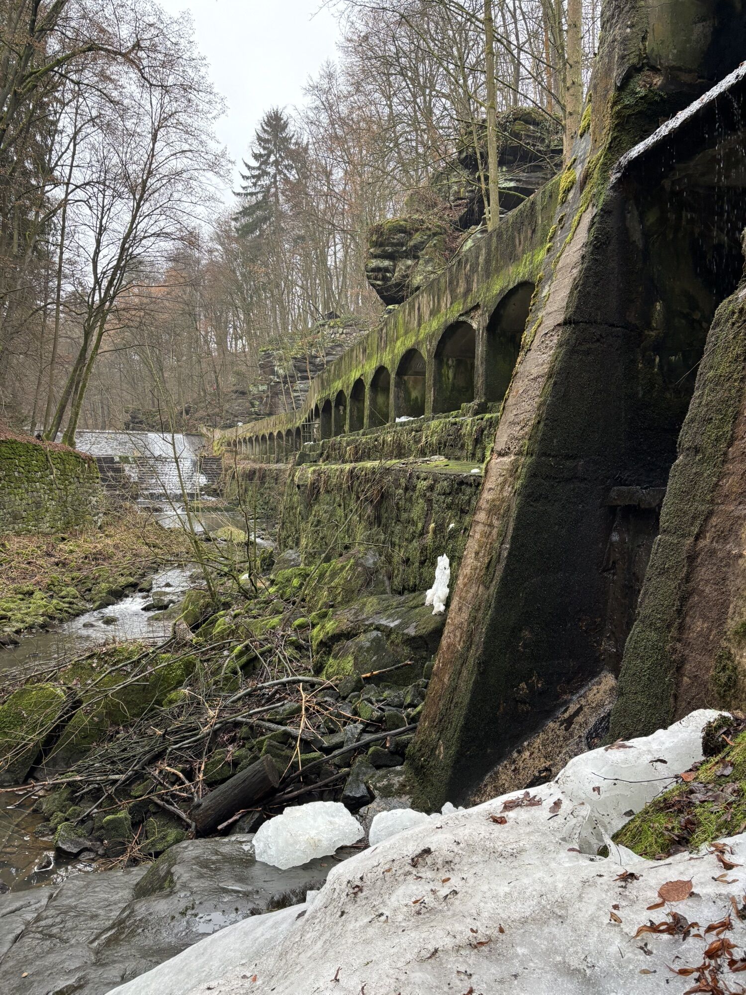
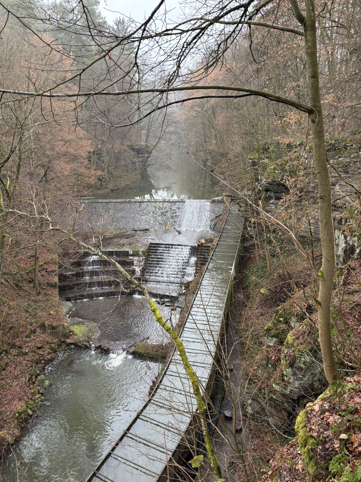
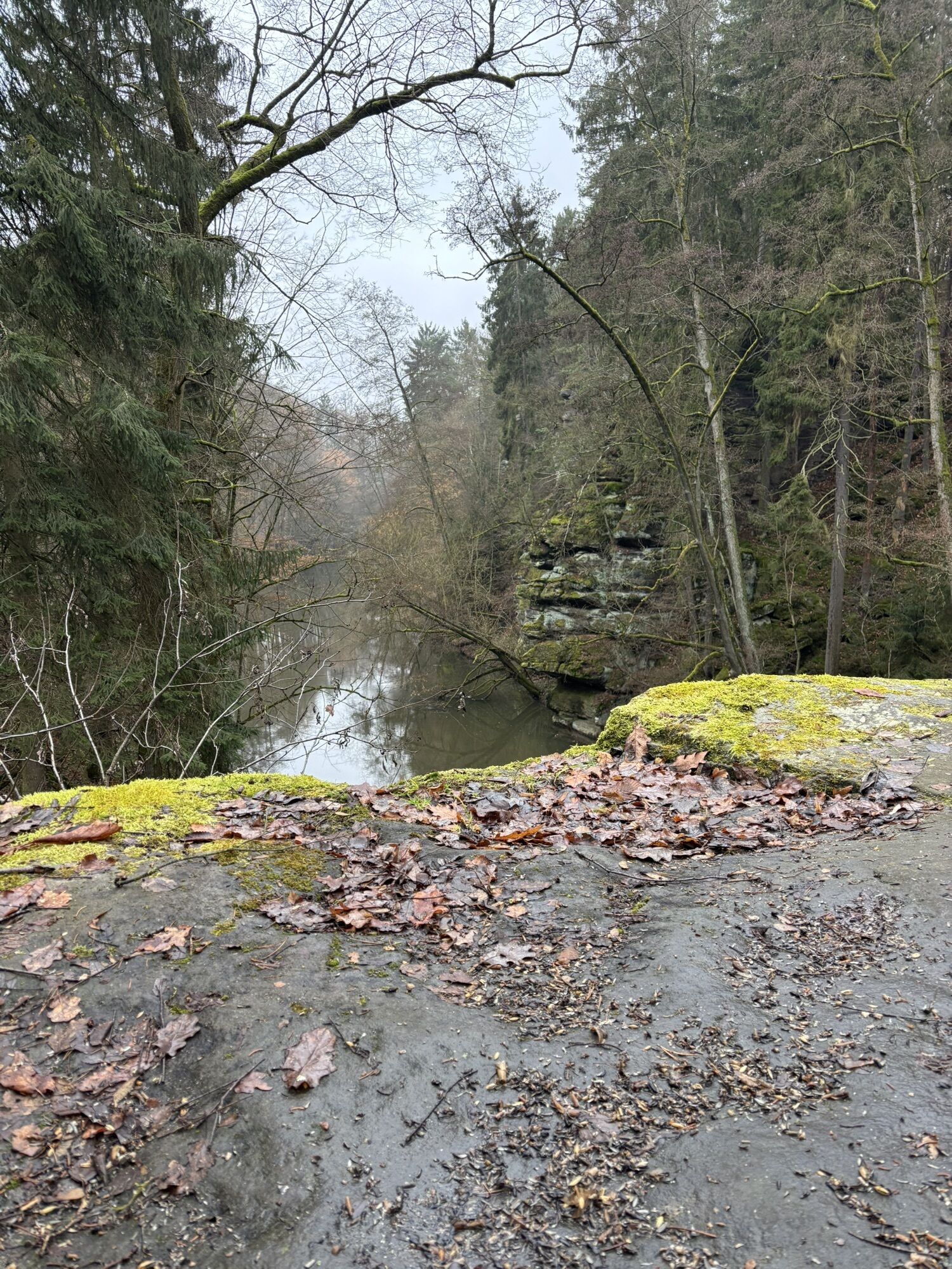
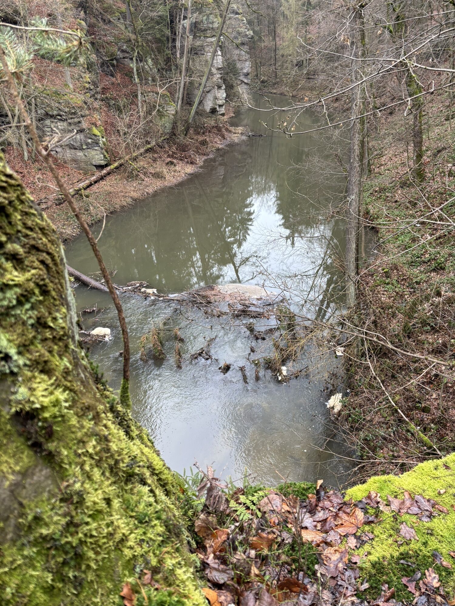
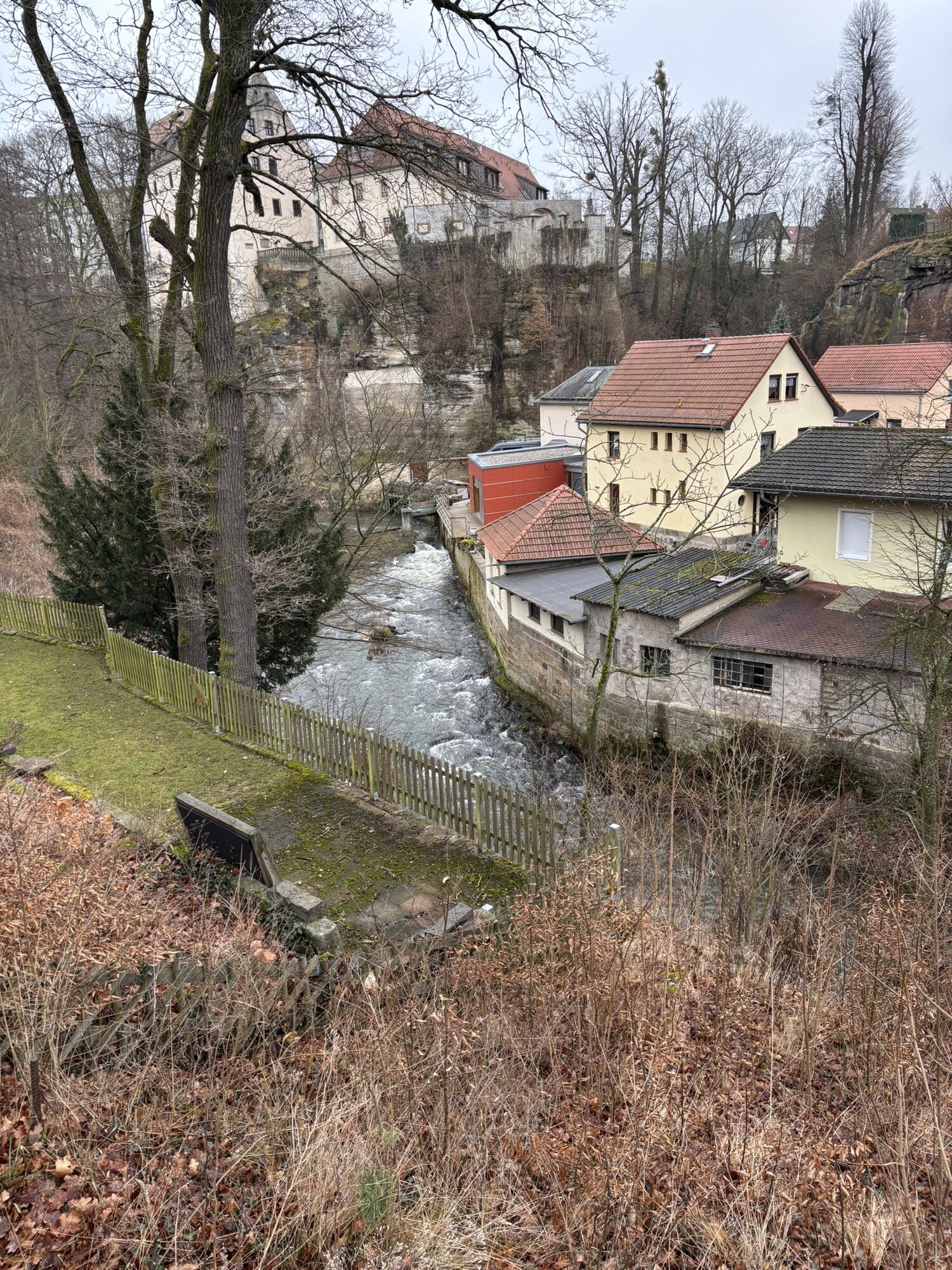
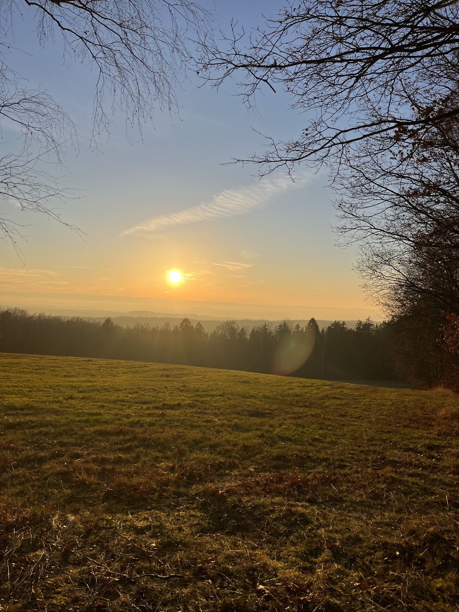
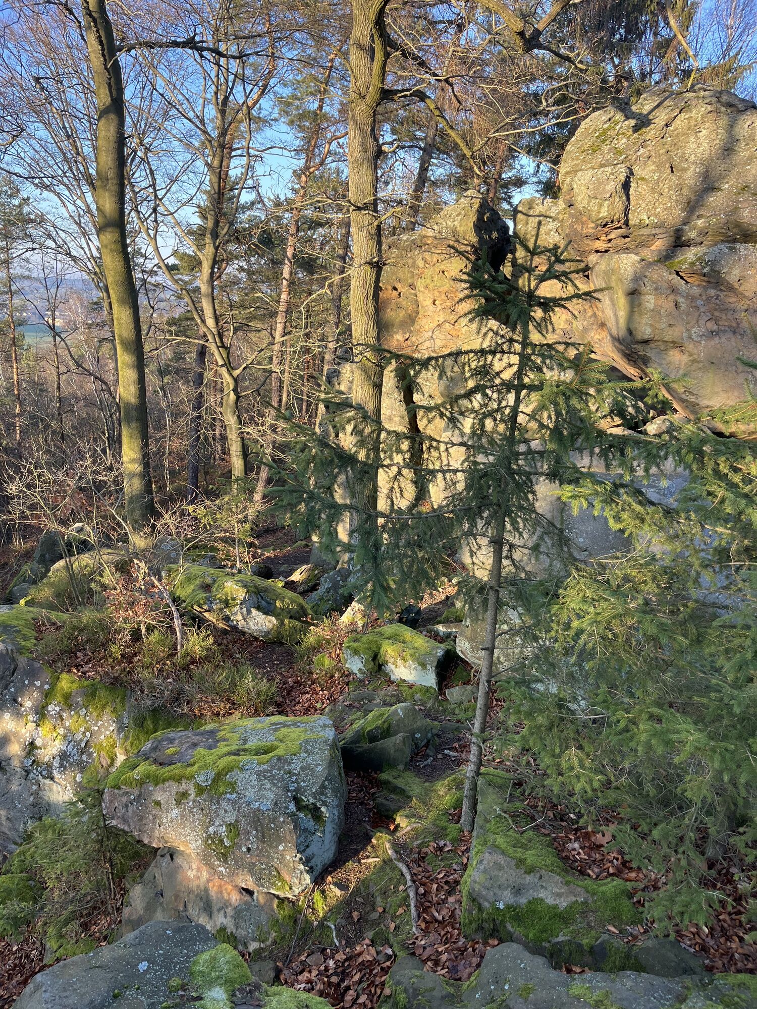
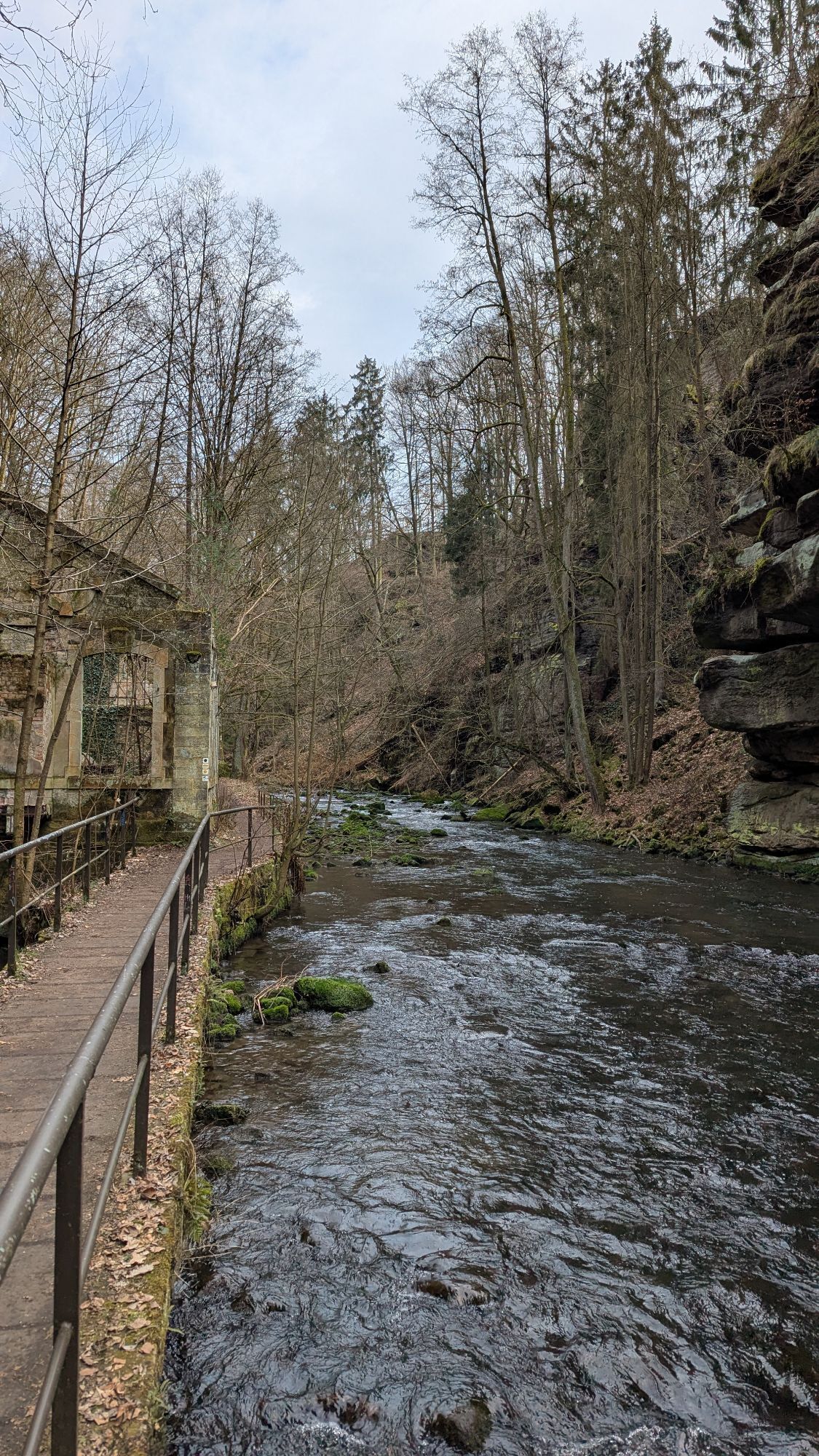
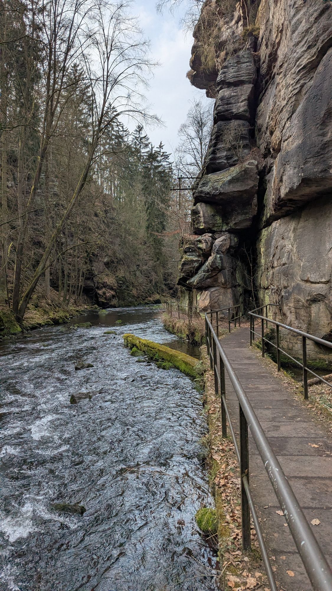
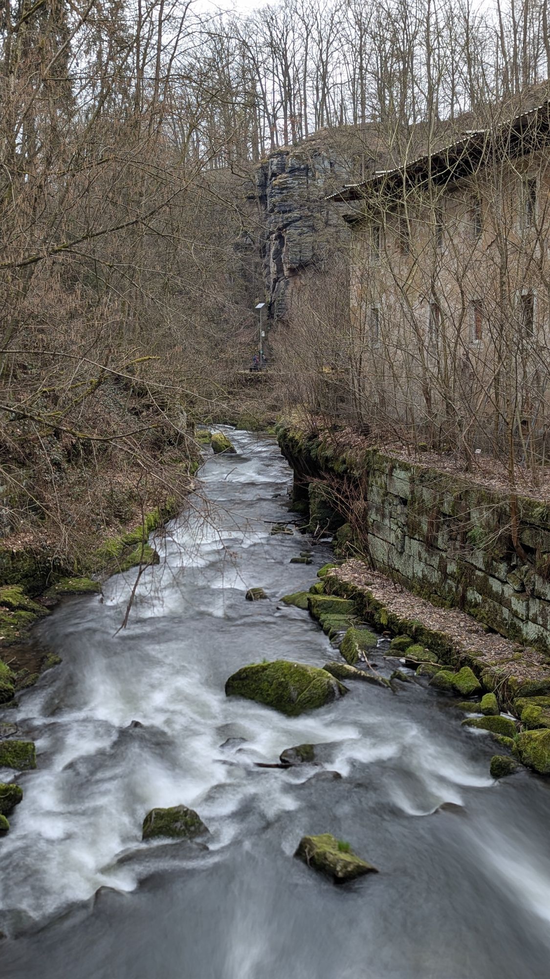
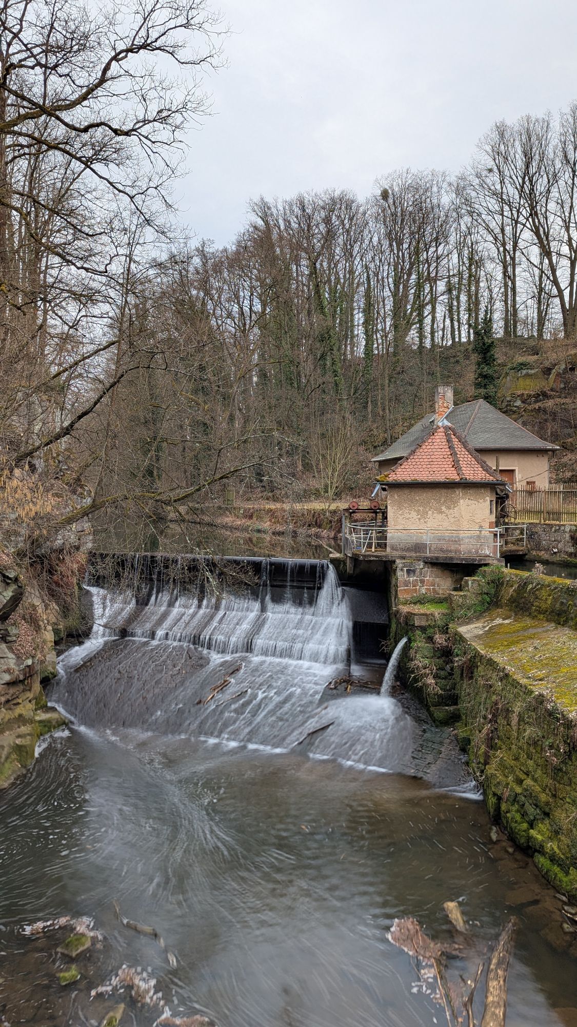
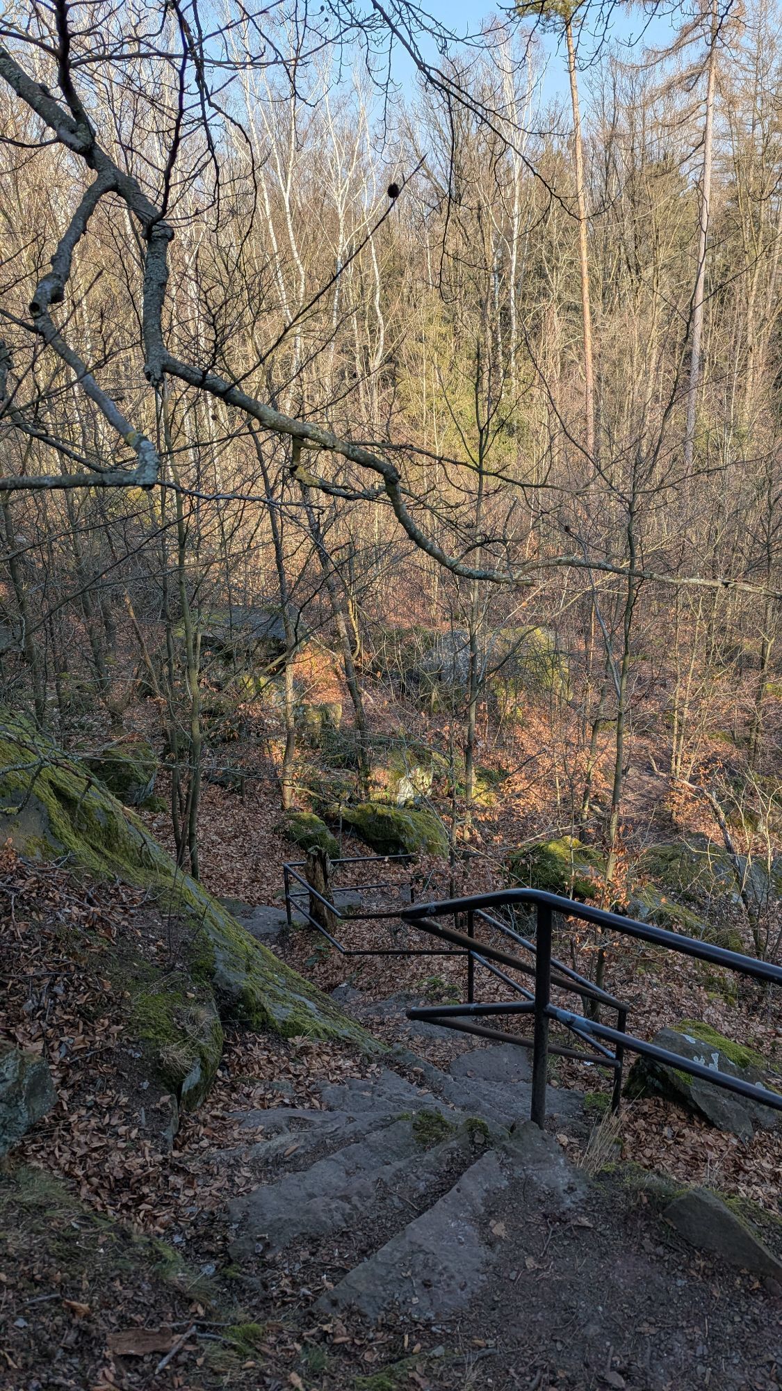
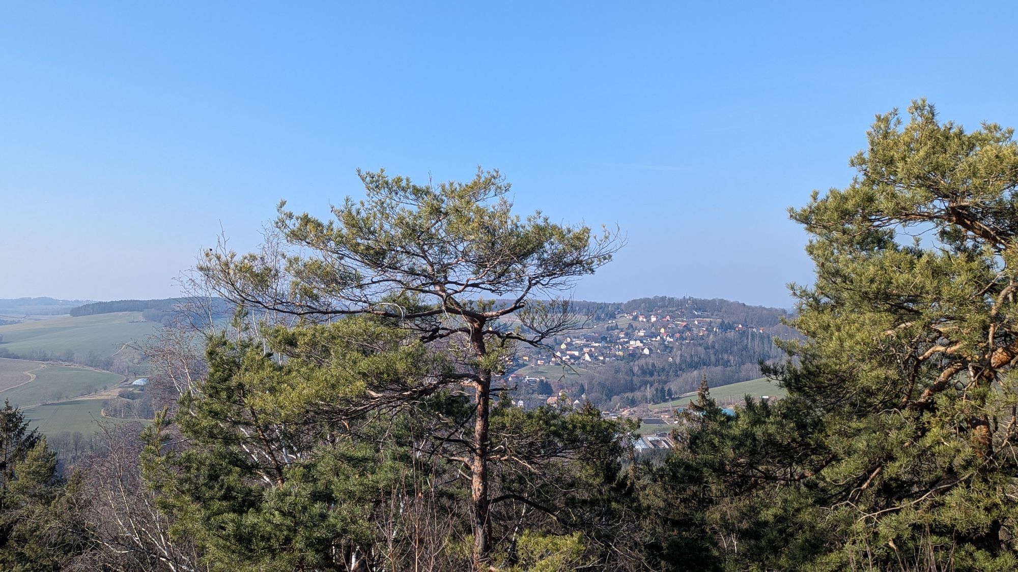
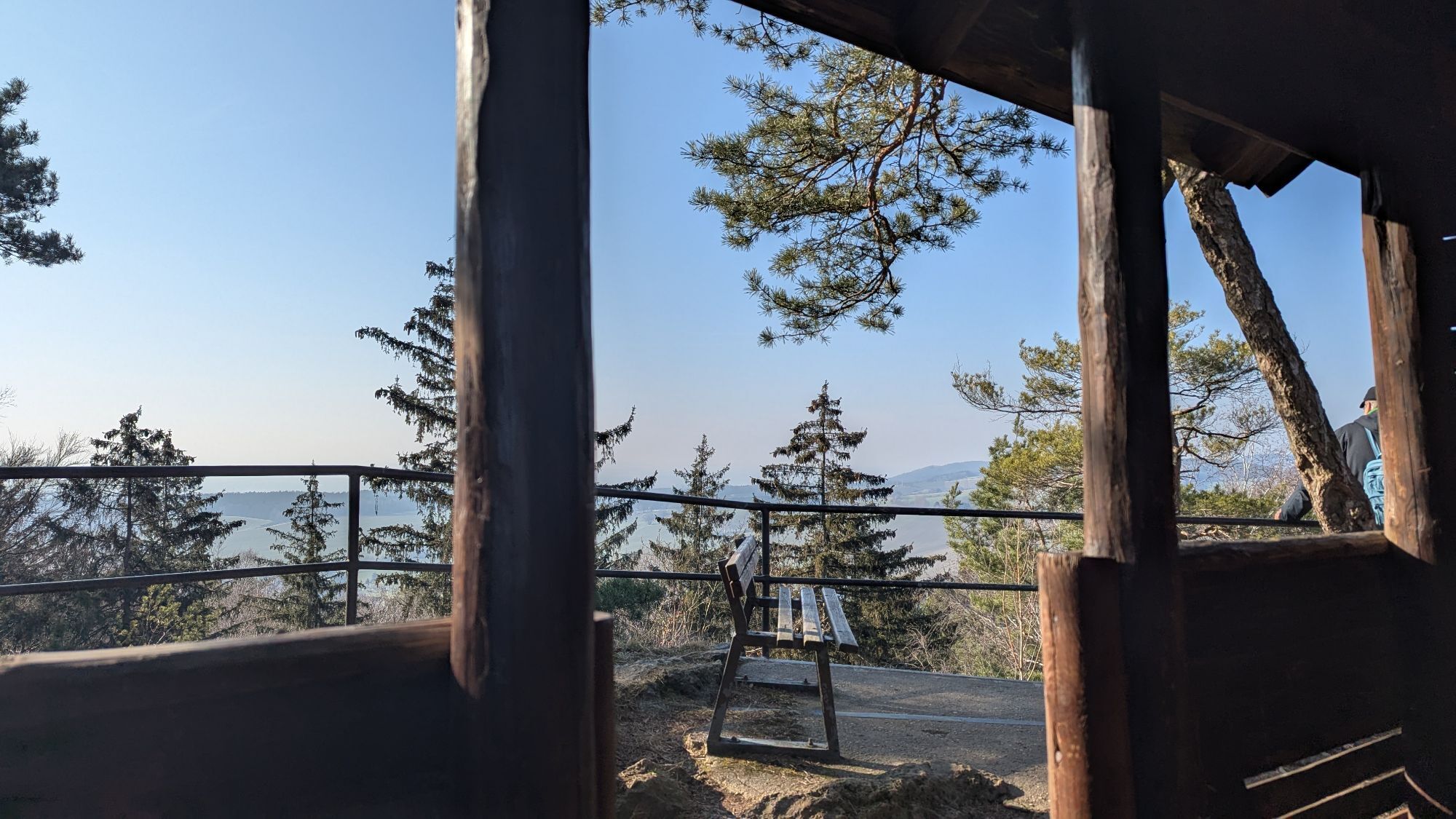
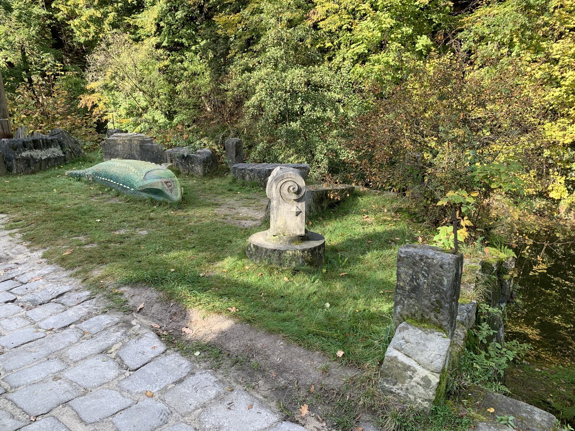
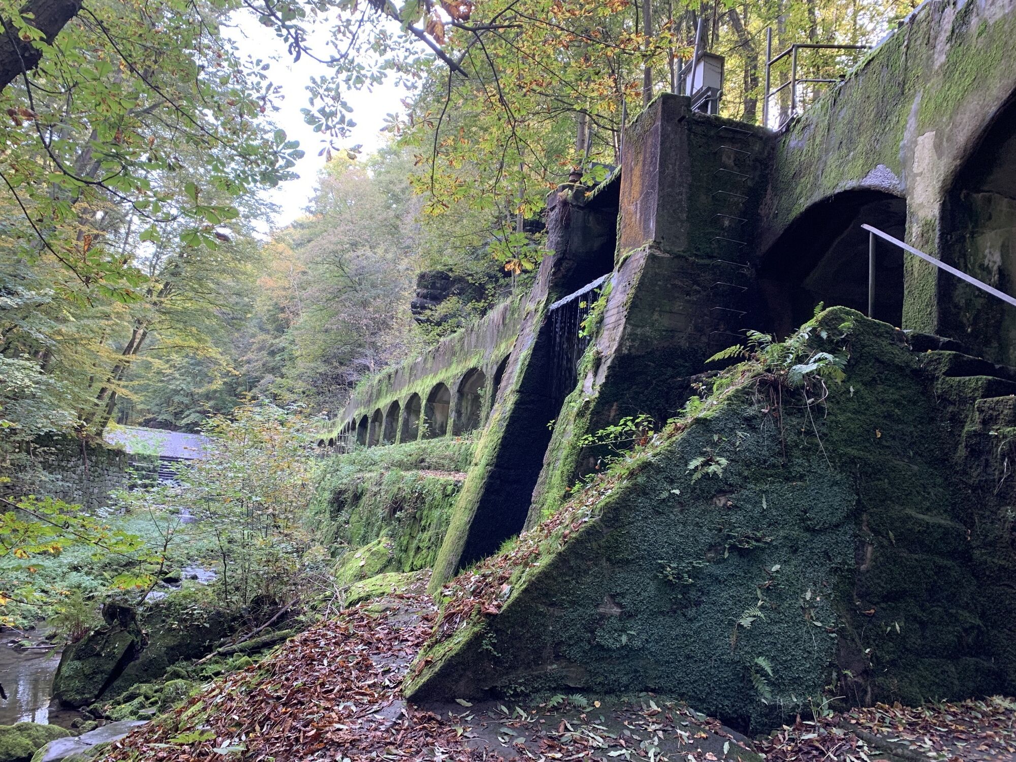
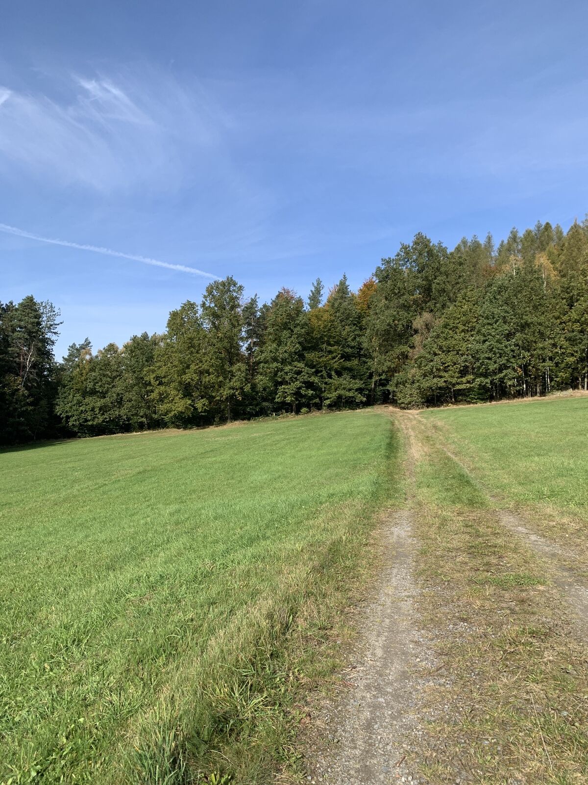
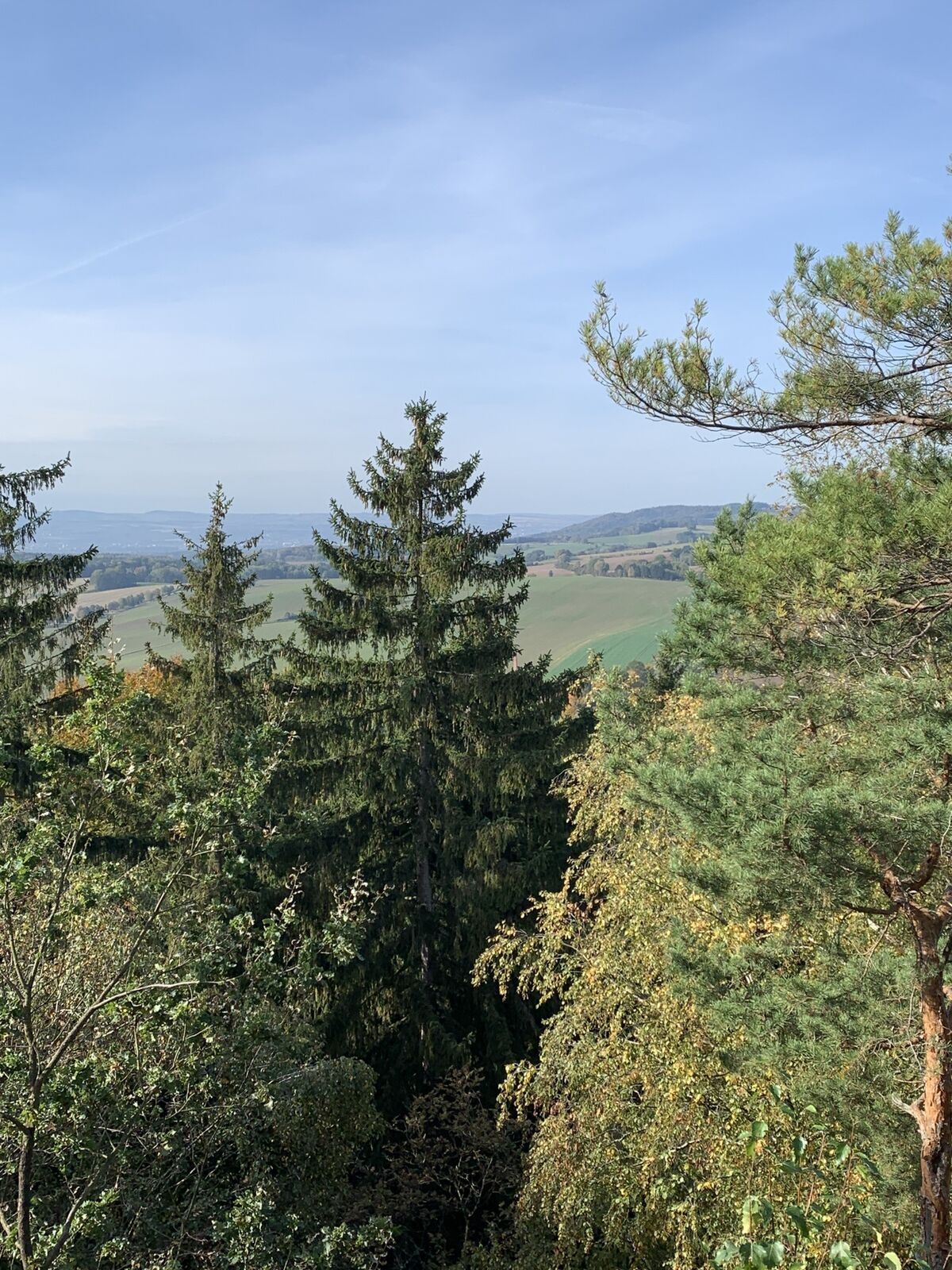
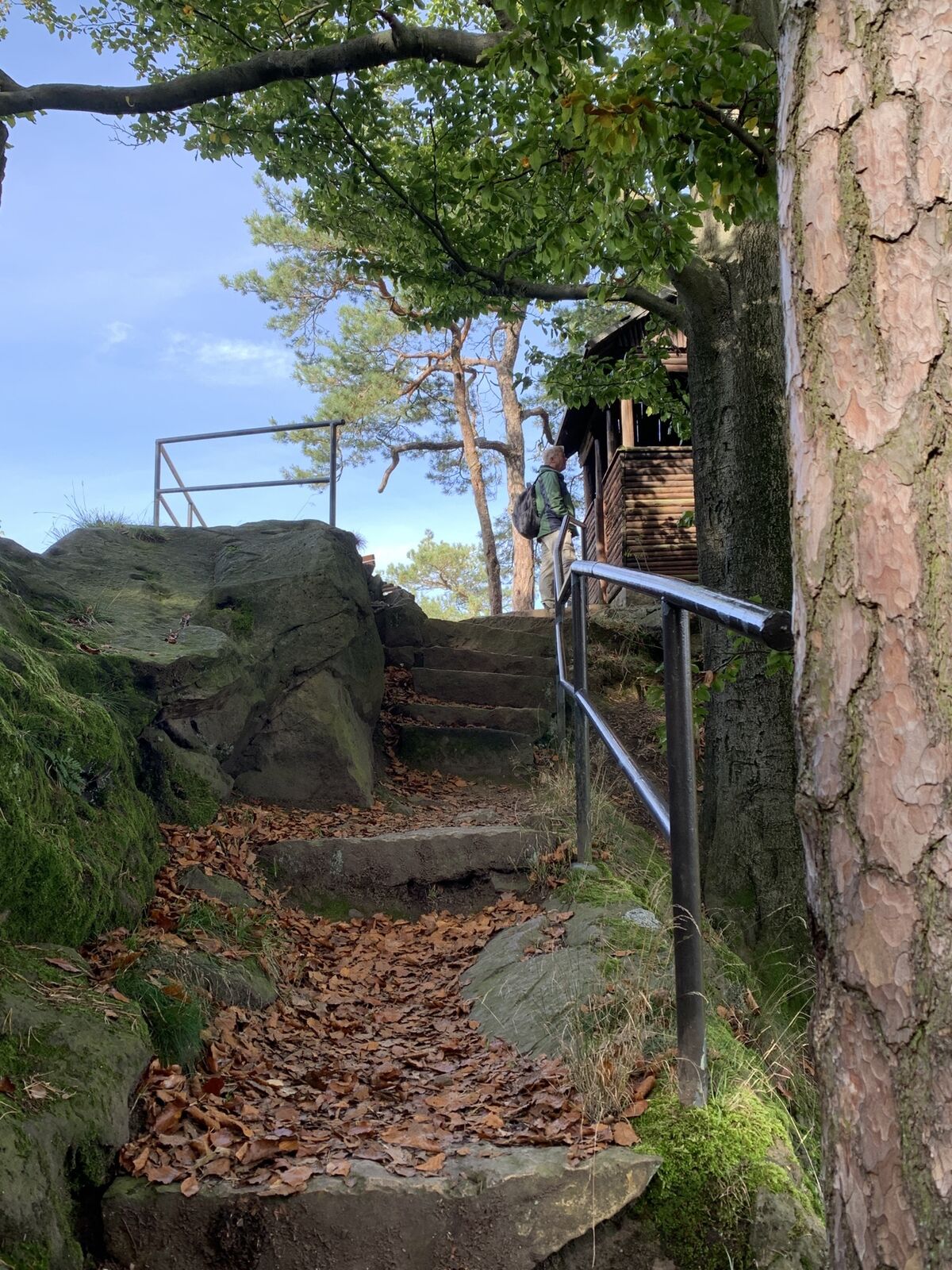
The tour starts at the Liebethaler Grund bus stop in Pirna and leads you up via the bus turning point to the Wesenitz. This trail (marked with a blue dot) is also part of the Malerweg. You will pass the Richard Wagner monument and the former Lochmühle. When you reach the Lochmühle, cross the Wesenitz and then keep left towards the Daubemühle. At the mill, follow the path with the "blue line" marking in the direction of Lohmen. At the crossroads, walk down to Mühlsdorf and come across the Mühlleithe on the left to a quarry. After passing the quarry, a wide path leads you uphill. At the halfway point, turn left and walk down to the historic waterworks. After the steps that now follow, walk down again on the left and hike up on the right at the next junction. You will come out of the valley to the road if you follow the "yellow line" trail markings. At the next junction, continue straight ahead and then turn right onto the path marked "green line". The path then branches off immediately to the left and you will have your first view of the countryside. Pass the field and follow the trail marking "yellow dot" / "green line" until you reach the Breiten Stein. It is worth climbing to the top here. Follow the path to the left at the crossroads and cross the railway tracks. Now follow the path to Dürrröhrsdorf-Dittersbach. Once there, keep to the right and walk to the railway bridge and turn left behind it to the railway station.
Hier kaufen: Rad- und Wanderkarte Pirna und Umgebung
Hiking shoes required
Please note: in the Saxon Switzerland National Park, only marked trails may be used in the core zone! Fines may be imposed for violations.
You can reach Pirna via the A4 Autobahn from the direction of Bautzen or Chemnitz to the Dresden-West junction and continue on the A17 to the Pirna junction.
Car park Altstadt Grohmannstraße (P1), Car park Stadtmitte - Ernst-Thälmann Platz 2 (P5), Car park "Am Steinplatz" (P3), Car park "Quartier 1" (P12)
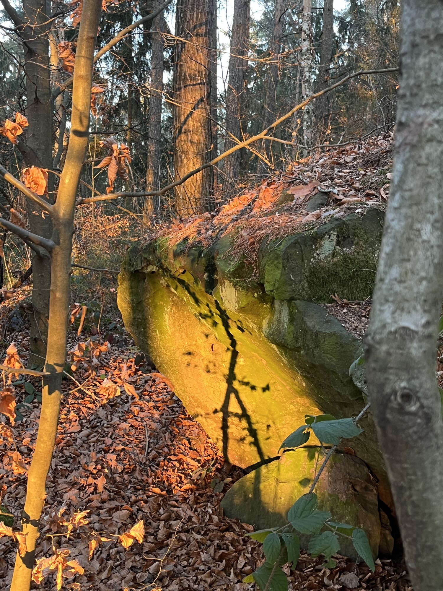
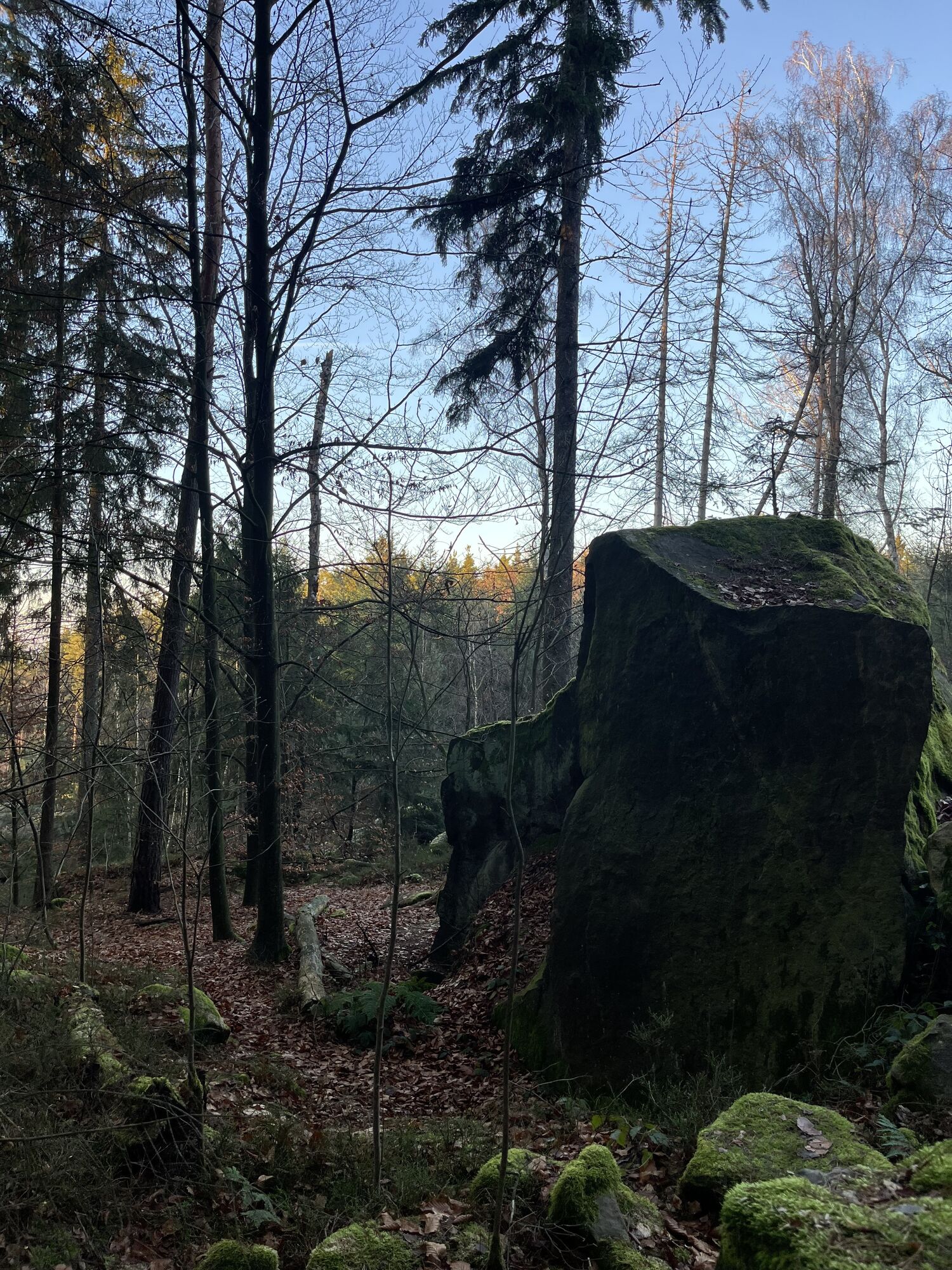
If you have never heard of bouldering, you will discover some climbers near the Breiten Stein on small round sandstone rocks who pursue this sport. Equipped with large mats, they try to climb the rocks without harnesses or similar aids.
Hol dir den Einblick
Immer live vor Ort mit über 9.500 Webcams. In der Touren App von bergfex siehst du als Pro-User jetzt zu vielen Touren die passenden Webcams. So kannst du dir direkt die aktuellen Bedingungen ansehen.
Beliebte Touren in der Nähe
-
4,7
Rathen / Hockstein / Bastei / Rathen
mittelWanderung 14,4 km -
4,6
Von Rathewalde zur Bastei
Wanderung 12,8 km -
4,7
Rundwanderung Bastei Schwendenlöcher -Amselsee
leichtWanderung 6,21 km -
5,0
Basteibrücke
leichtWanderung 2,31 km -
4,7
Pfaffenstein Sachsen/Deutschland
mittelWanderung 3,89 km -
5,0
Lilienstein
leichtWanderung 3,75 km -
4,4
Kurort Rathen: Große Bastei-Runde
mittelWinterwandern 4,75 km -
4,9
Polenztal-Runde
mittelWinterwandern 13,9 km -
5,0
Rauenstein von Weißig
mittelWanderung 4,35 km -
4,2
Rundwanderweg Rathen Lilienstein
mittelWanderung 12,5 km
Wandern & Tracking


Verpasse keine Angebote und Inspirationen für deinen nächsten Urlaub
Deine E-Mail-Adresse wurde in den Verteiler eingetragen.





