


To the “balcony” of Saxon Switzerland
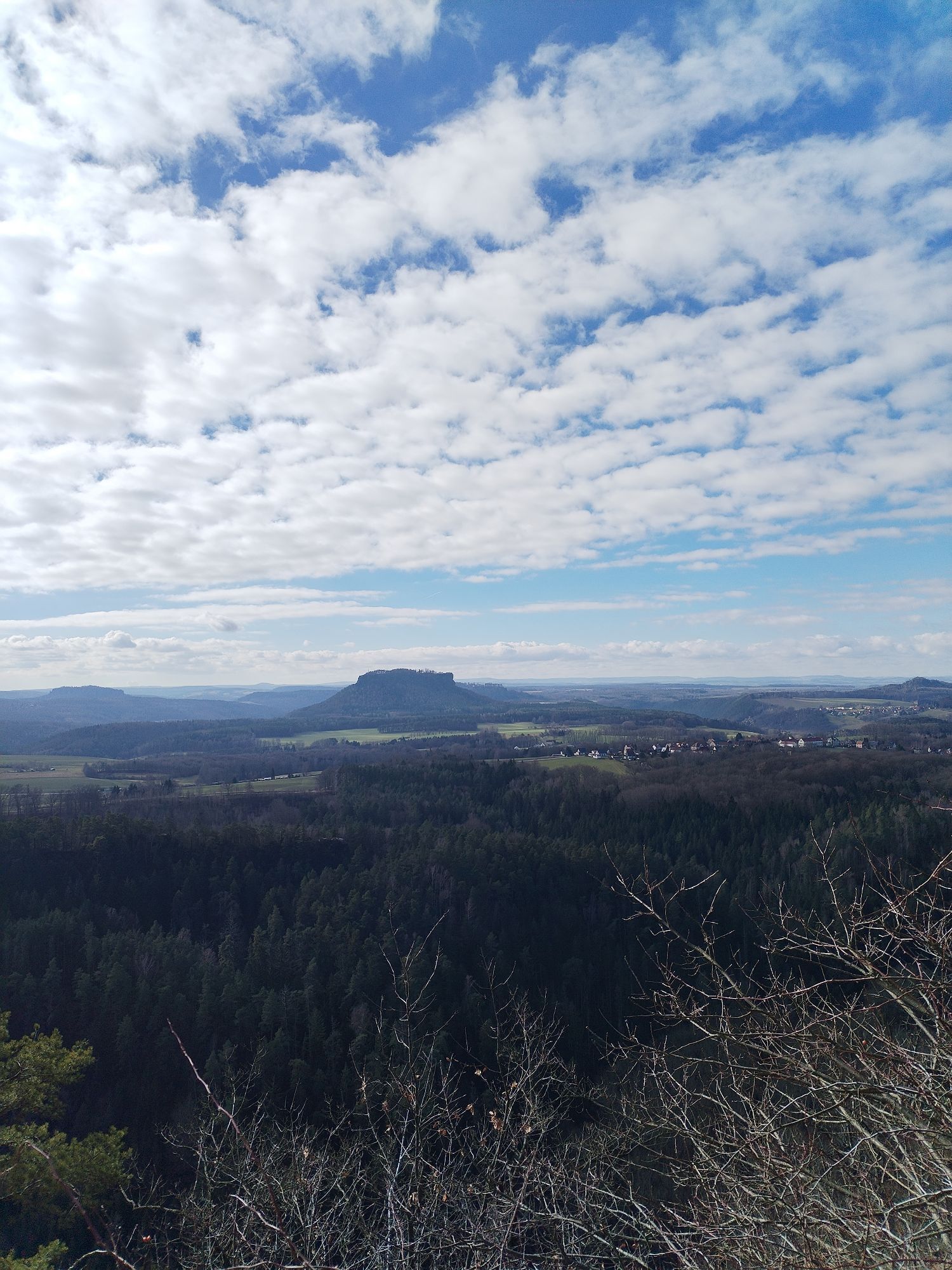
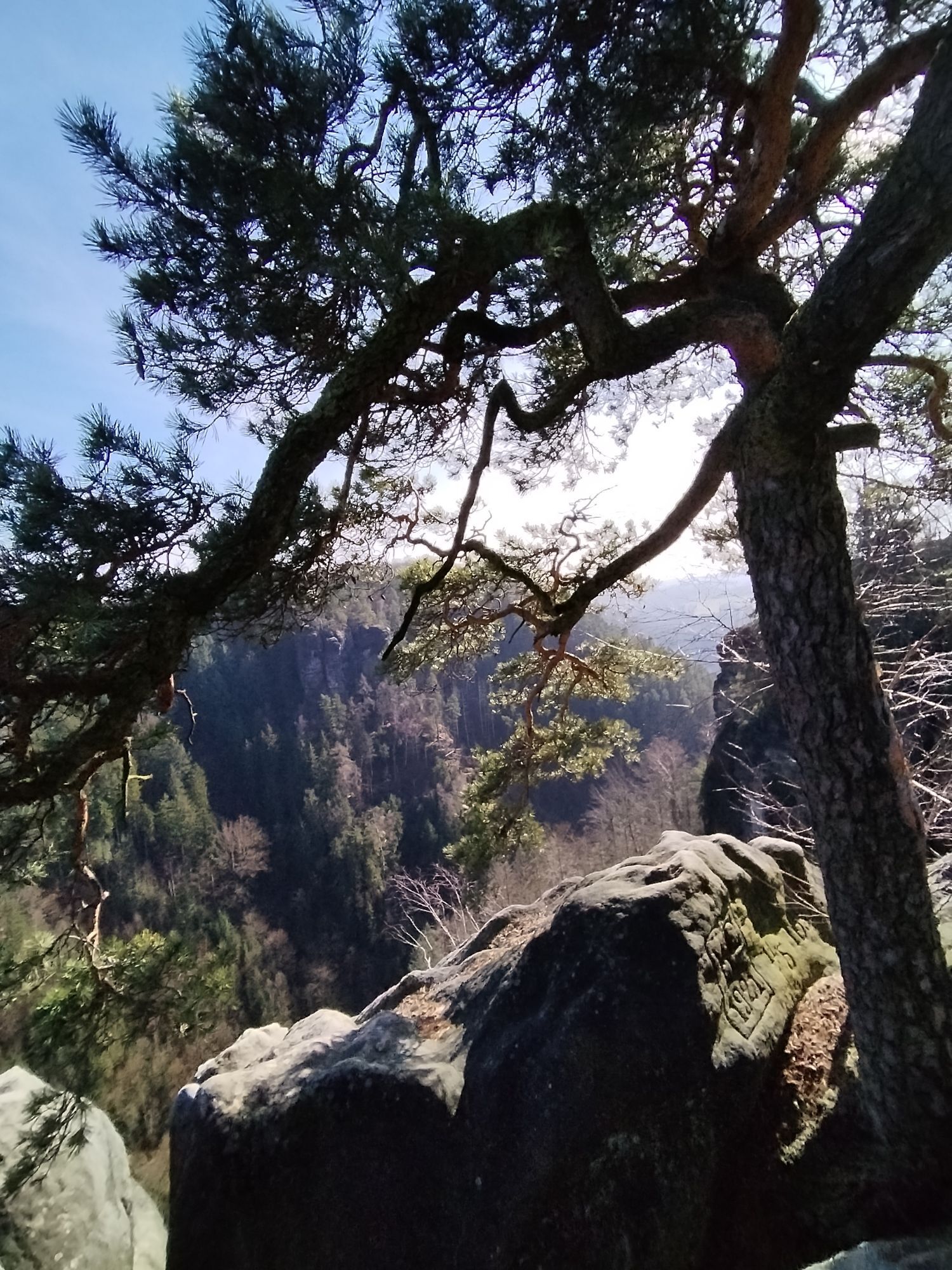

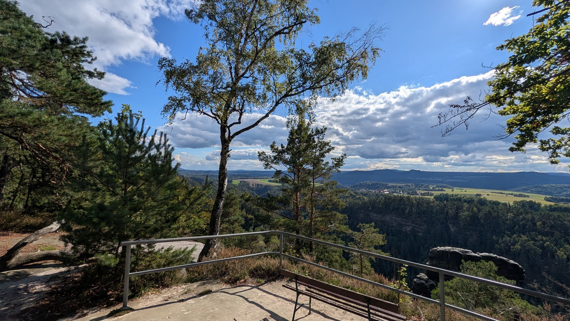
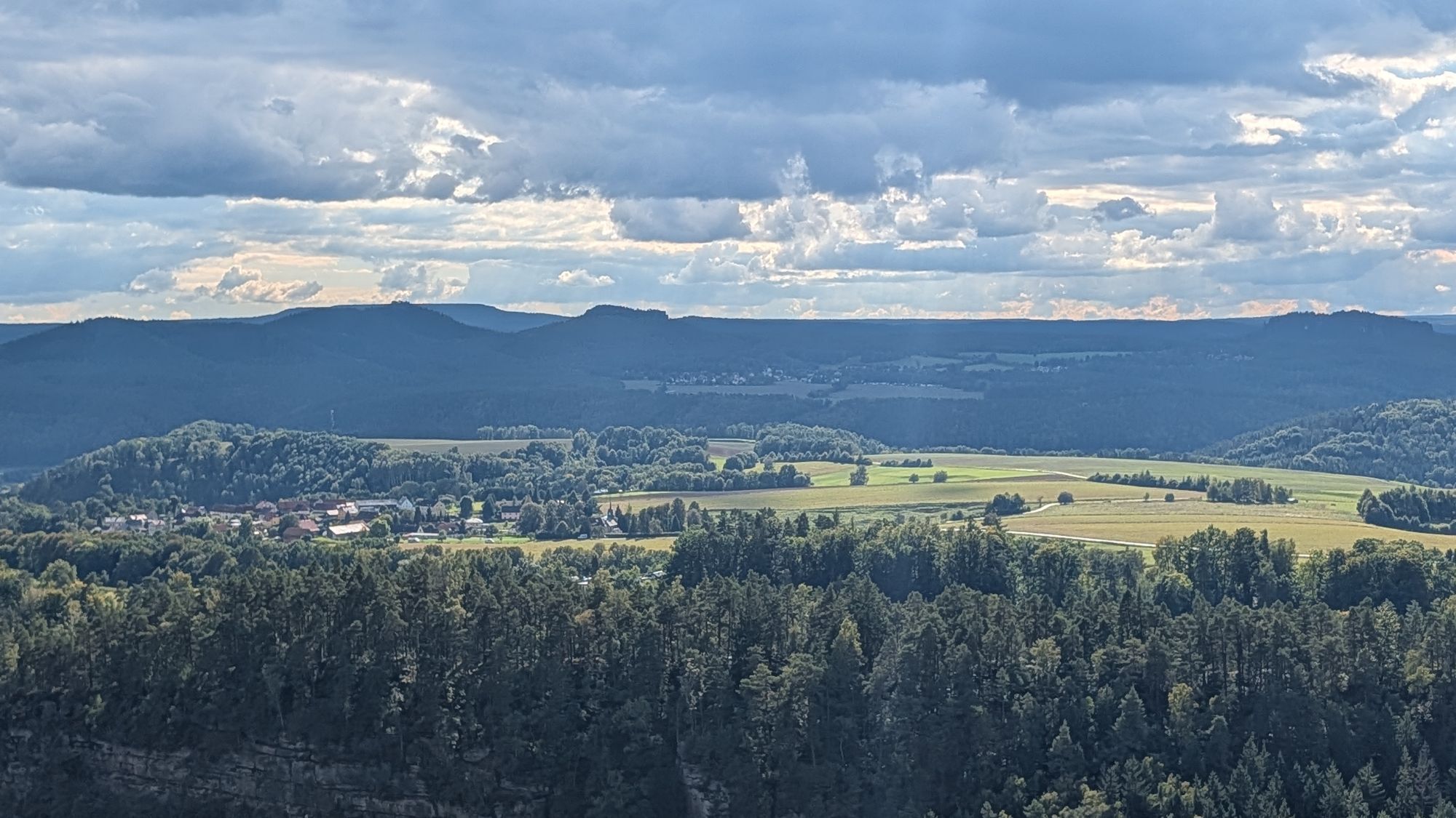
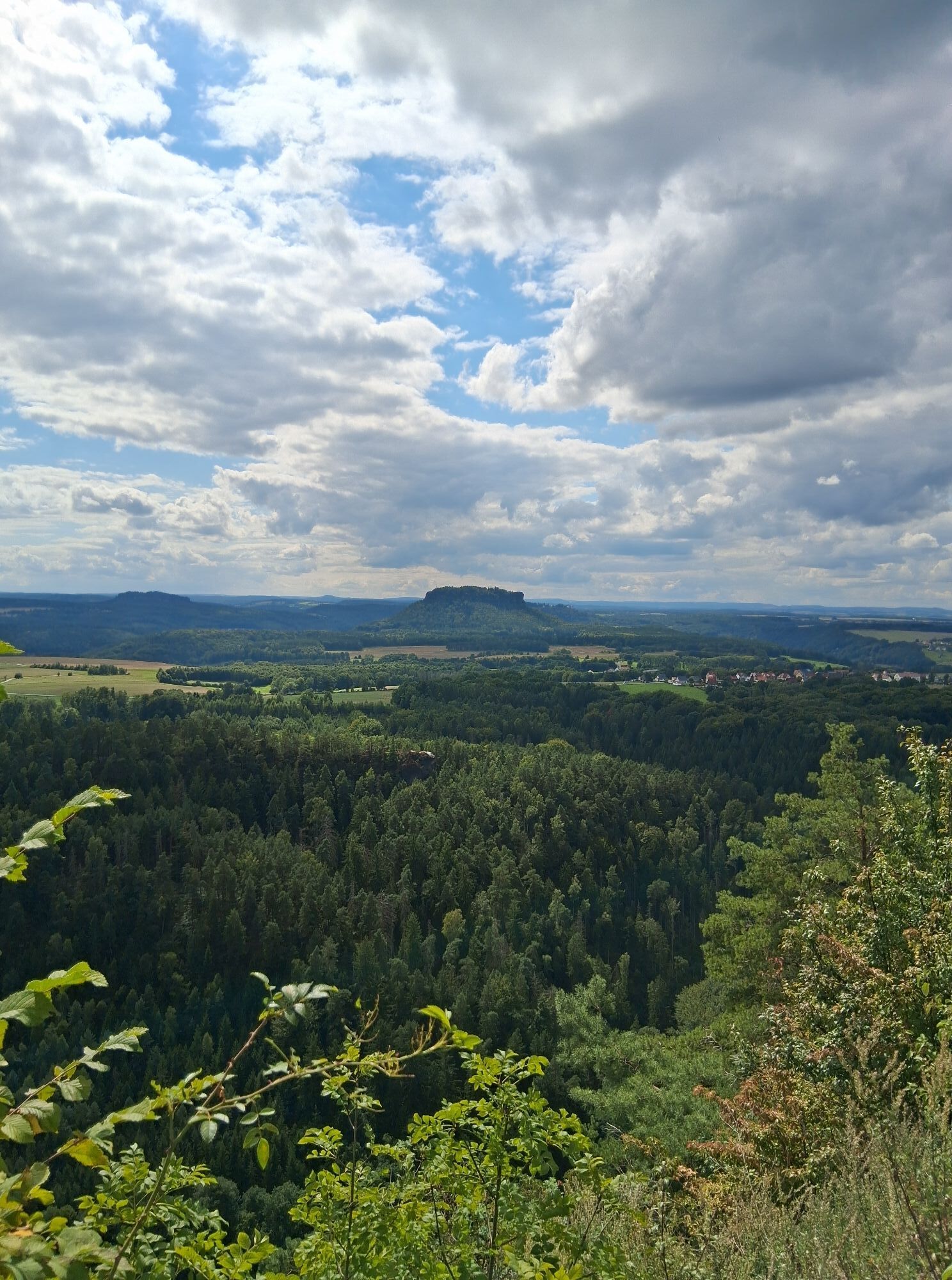
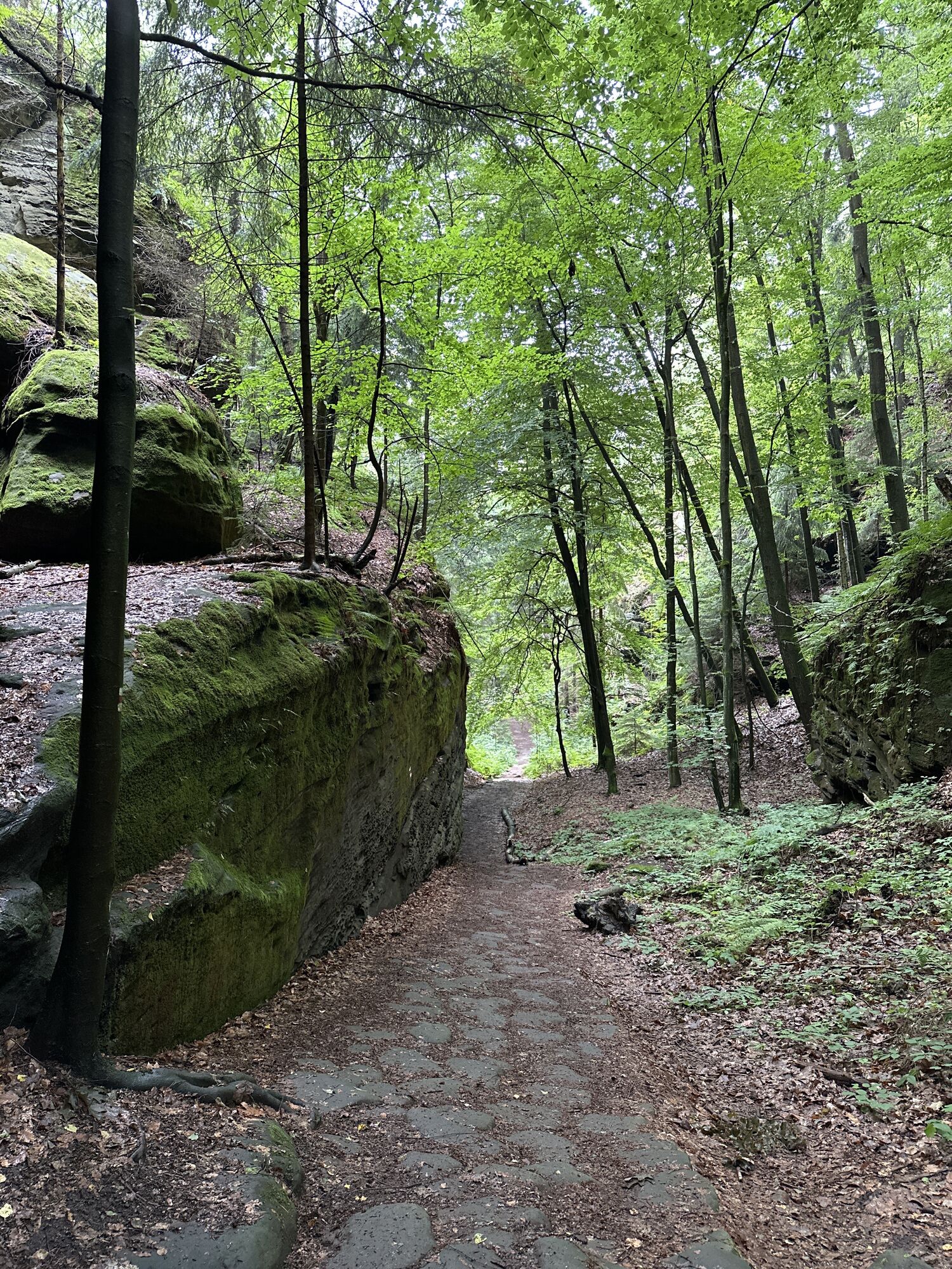
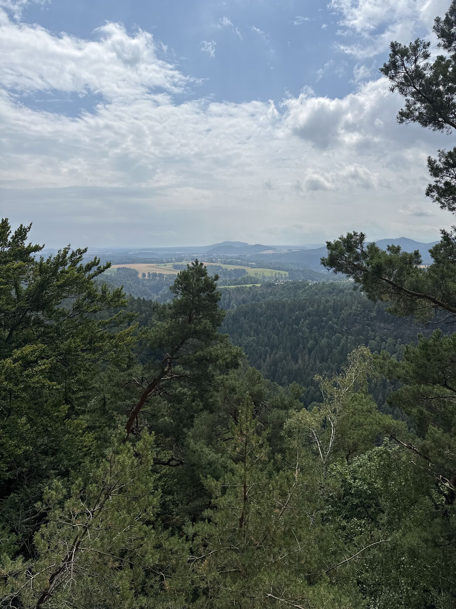
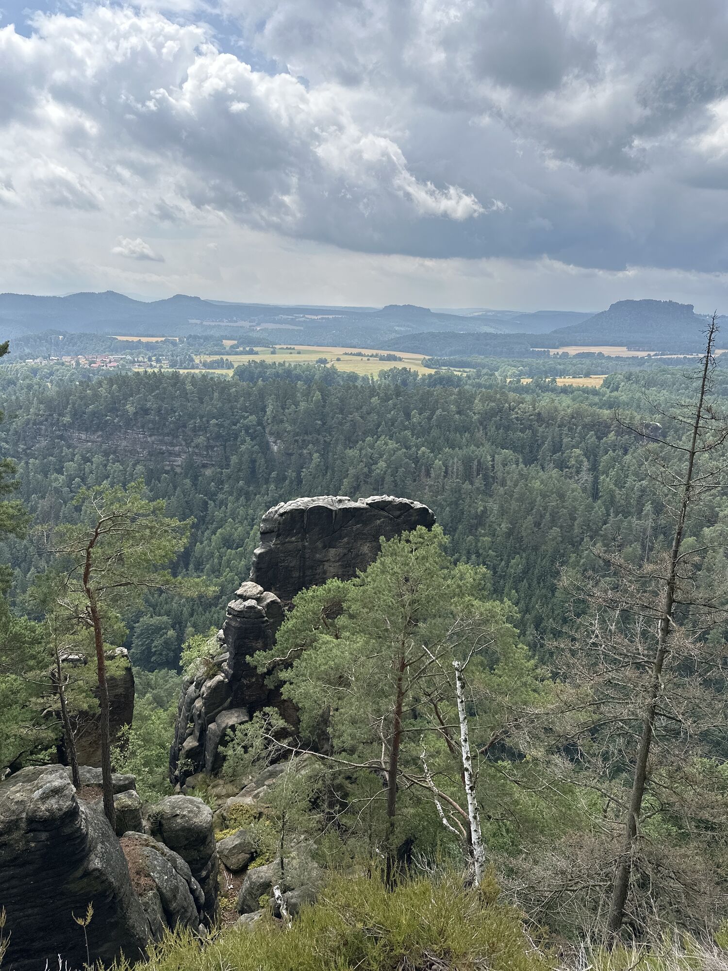
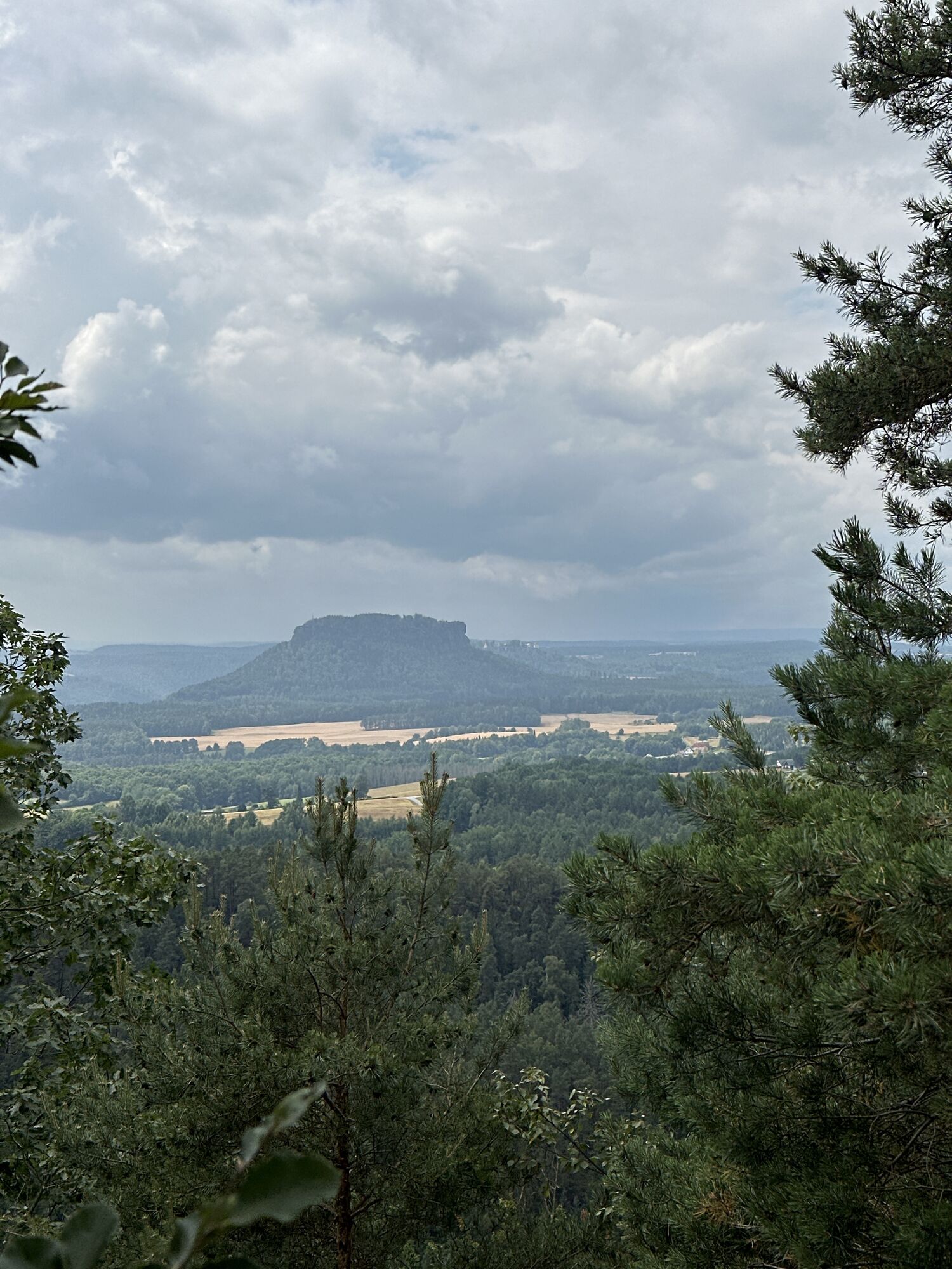
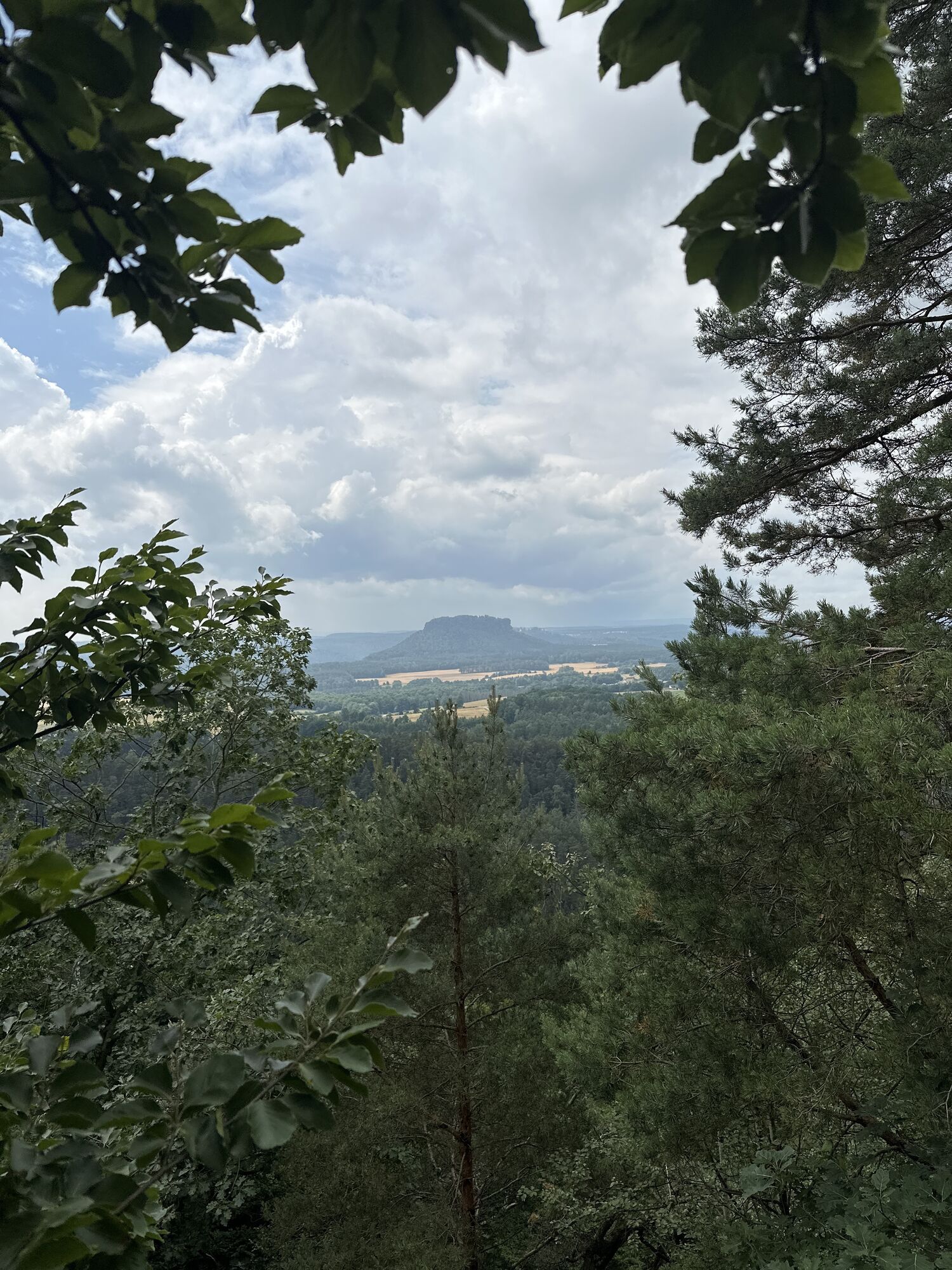
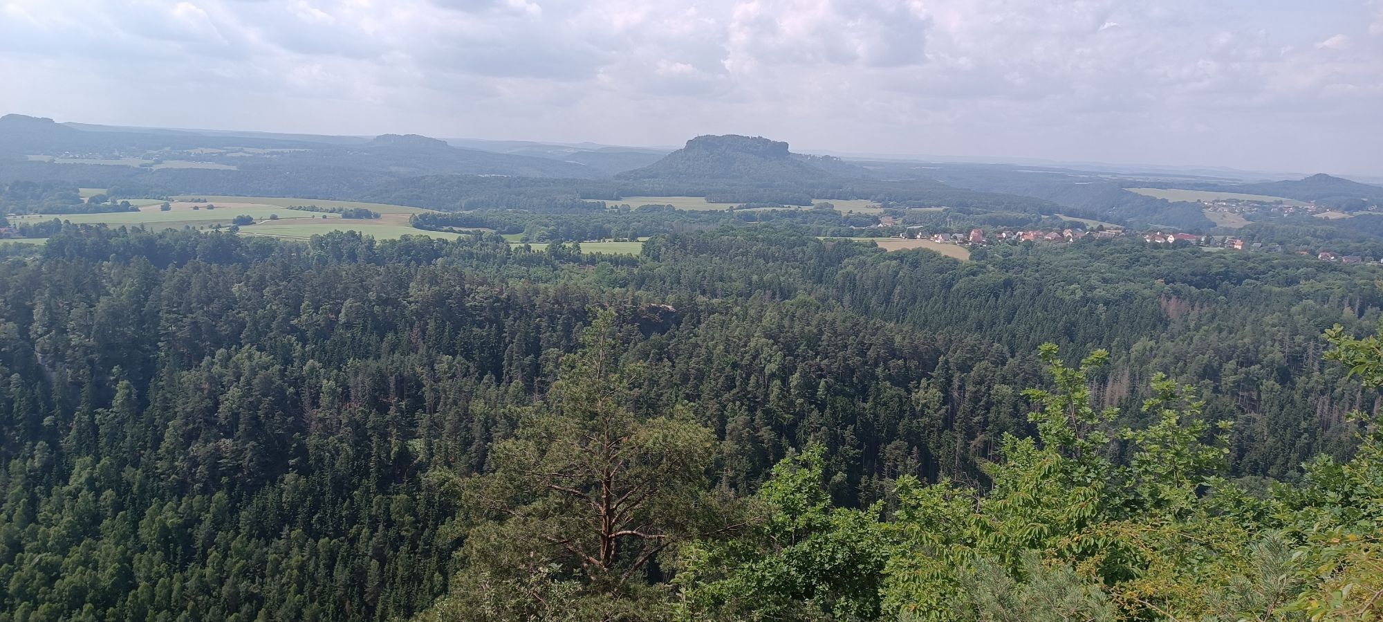

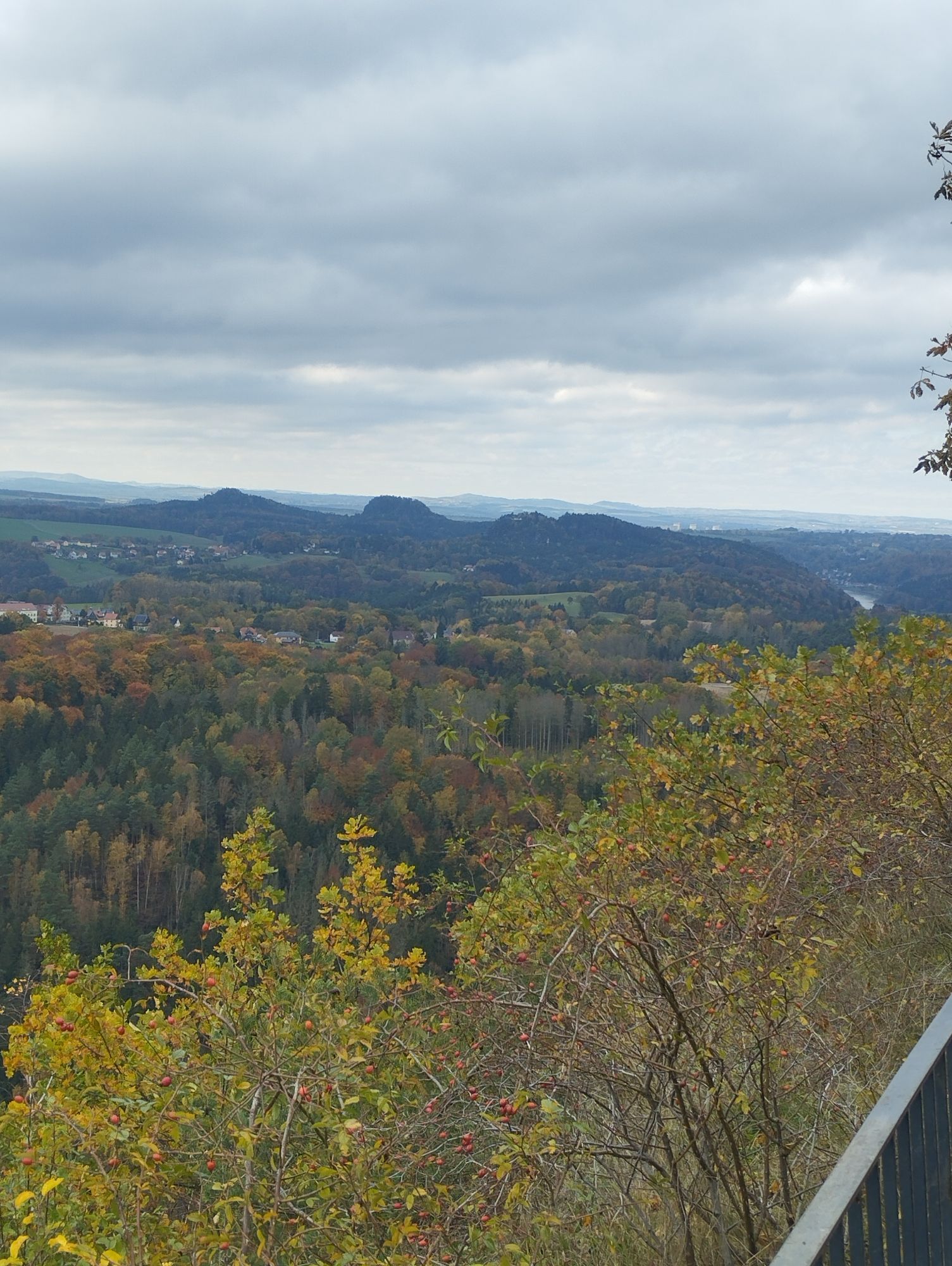
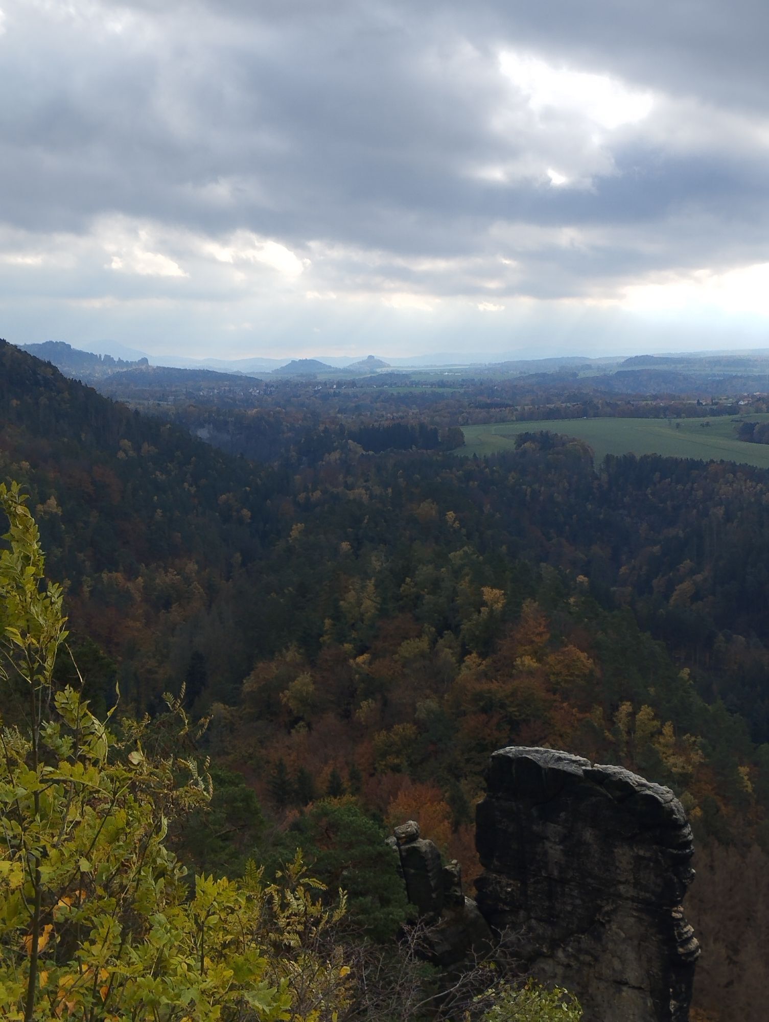
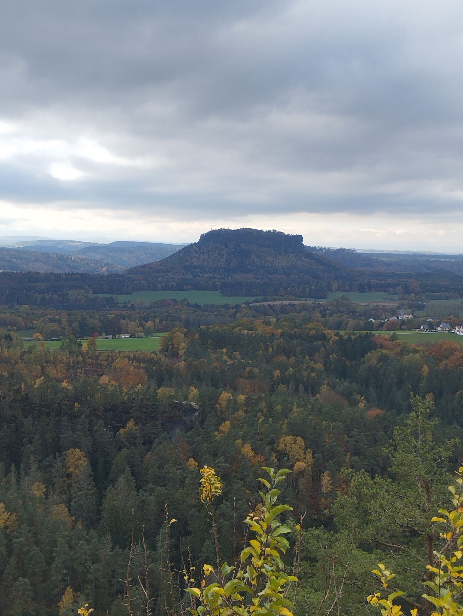
In addition to the main view at the restaurant, a detour to the viewpoint "Hafersäcke" is recommended, which offers a view of the "Tiefen Grund". It is also worth visiting the Brandbaude information point. Interesting information on the mountains, waters and sights shown can be accessed via interactive screen presentations. You can also find out about the Polenz Valley and its special features. The "children's corner" of the exhibition entices visitors with a foray into the world of birds. Children can playfully learn how much our native bird species are bound to specific habitats on the screen and with the help of animal specimens.For the way back to Hohnstein, we first take the same path to the green line junction, where we turn left, later pass a small pond and after a few minutes meet the path with the red line marking. Here we turn right. At the next crossroads, keep left and continue on the wide hiking trail to the outskirts of Hohnstein. Once there, we keep to the right and our loop closes.
With S1 to Pirna, from here with bus 237 (direction Sebnitz) to "Markt, Hohnstein" or "Eiche, Hohnstein". The starting point of the tour is approx. 1.5 km to the south.
Parking is available at the roadside or at the car park of the former railway station in Hohnstein.
The tour is suitable for prams, pushchairs, children and dogs. In addition, if you take the same route back from the Brandbaude, it is also suitable for wheelchair users.
Beliebte Touren in der Nähe
-
4,7
Rathen / Hockstein / Bastei / Rathen
mittelWanderung 14,4 km -
4,6
Von Rathewalde zur Bastei
Wanderung 12,8 km -
4,7
Rundwanderung Bastei Schwendenlöcher -Amselsee
leichtWanderung 6,21 km -
4,5
Kuhstall, Himmelsleiter und Schneiderloch
mittelWanderung 4,06 km -
4,7
Pfaffenstein Sachsen/Deutschland
mittelWanderung 3,89 km -
5,0
Basteibrücke
leichtWanderung 2,31 km -
5,0
Lilienstein
leichtWanderung 3,75 km -
5,0
Prebischtor
mittelWanderung 18,9 km -
4,9
entlang der Schrammsteine, Breite Kluft, Affenwand
mittelWanderung 11,6 km -
4,4
Kurort Rathen: Große Bastei-Runde
mittelWinterwandern 4,75 km
Wandern & Tracking


Verpasse keine Angebote und Inspirationen für deinen nächsten Urlaub
Deine E-Mail-Adresse wurde in den Verteiler eingetragen.