







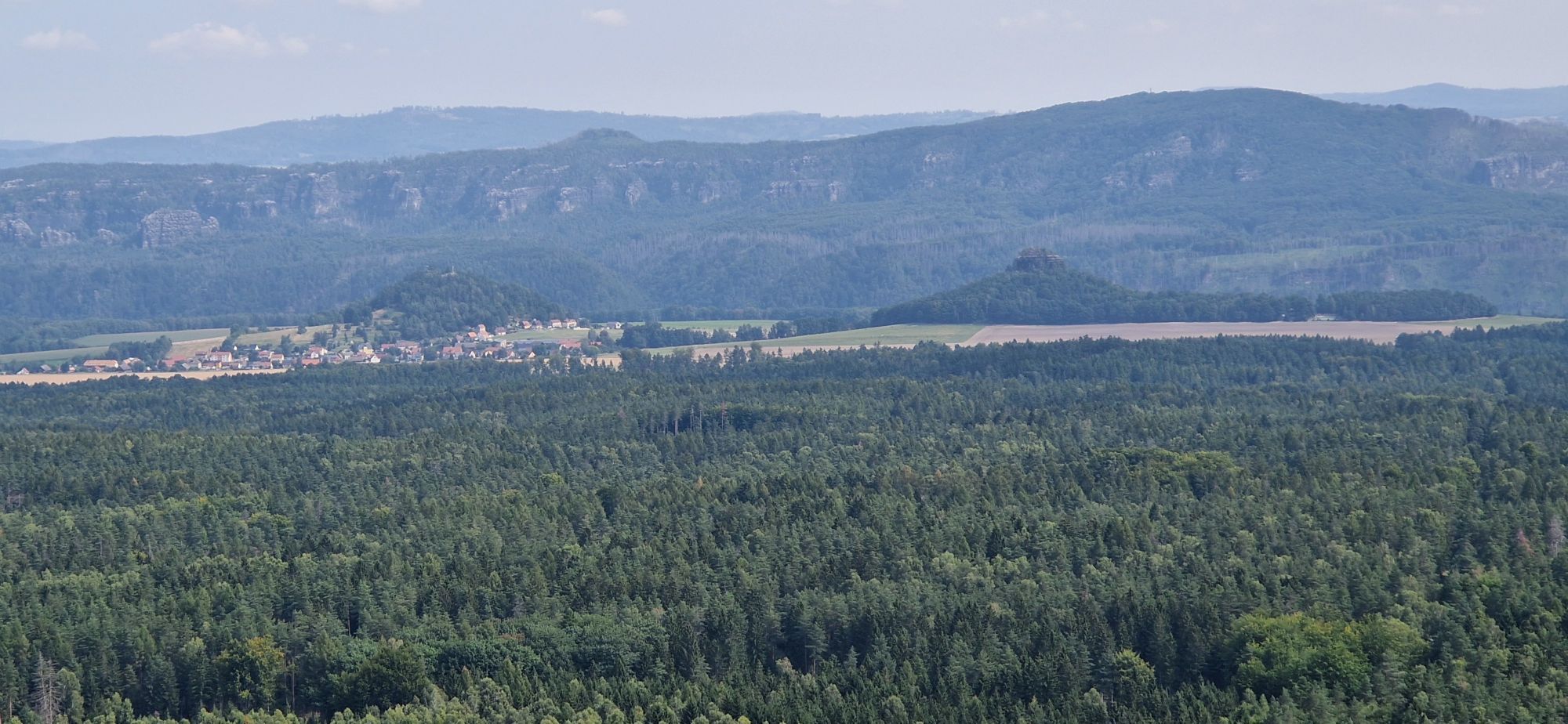
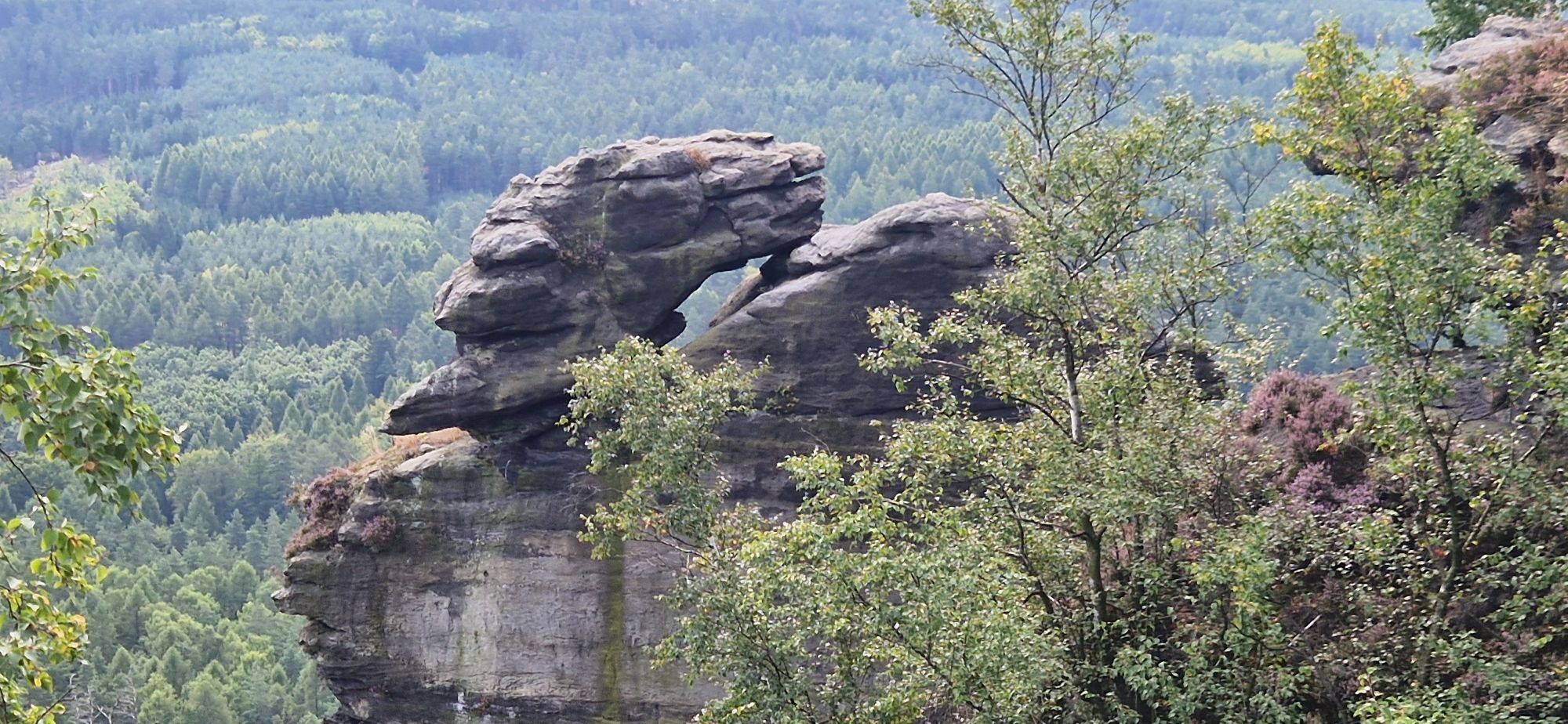
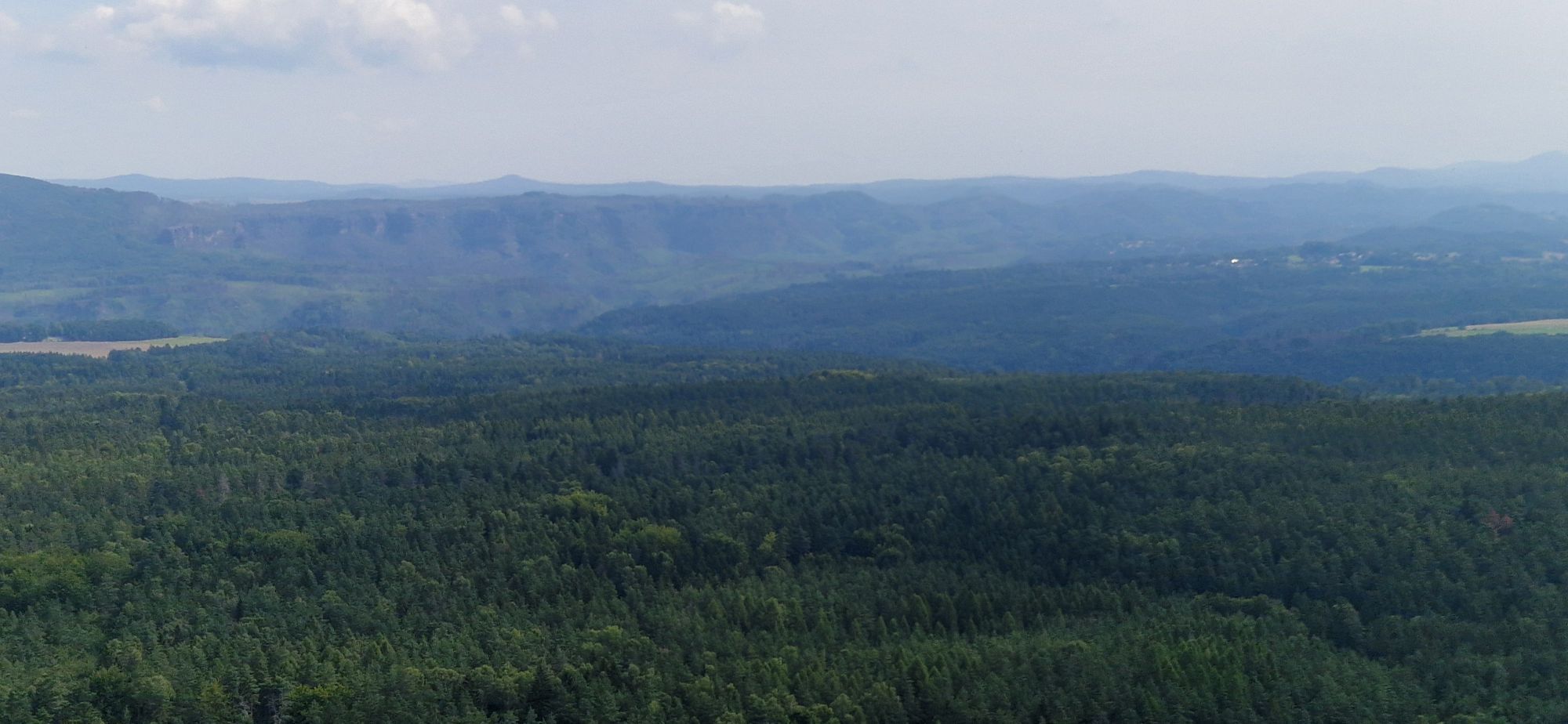
Schöna: Zschirnsteine and Zirkelstein over the Gelobtbach valley
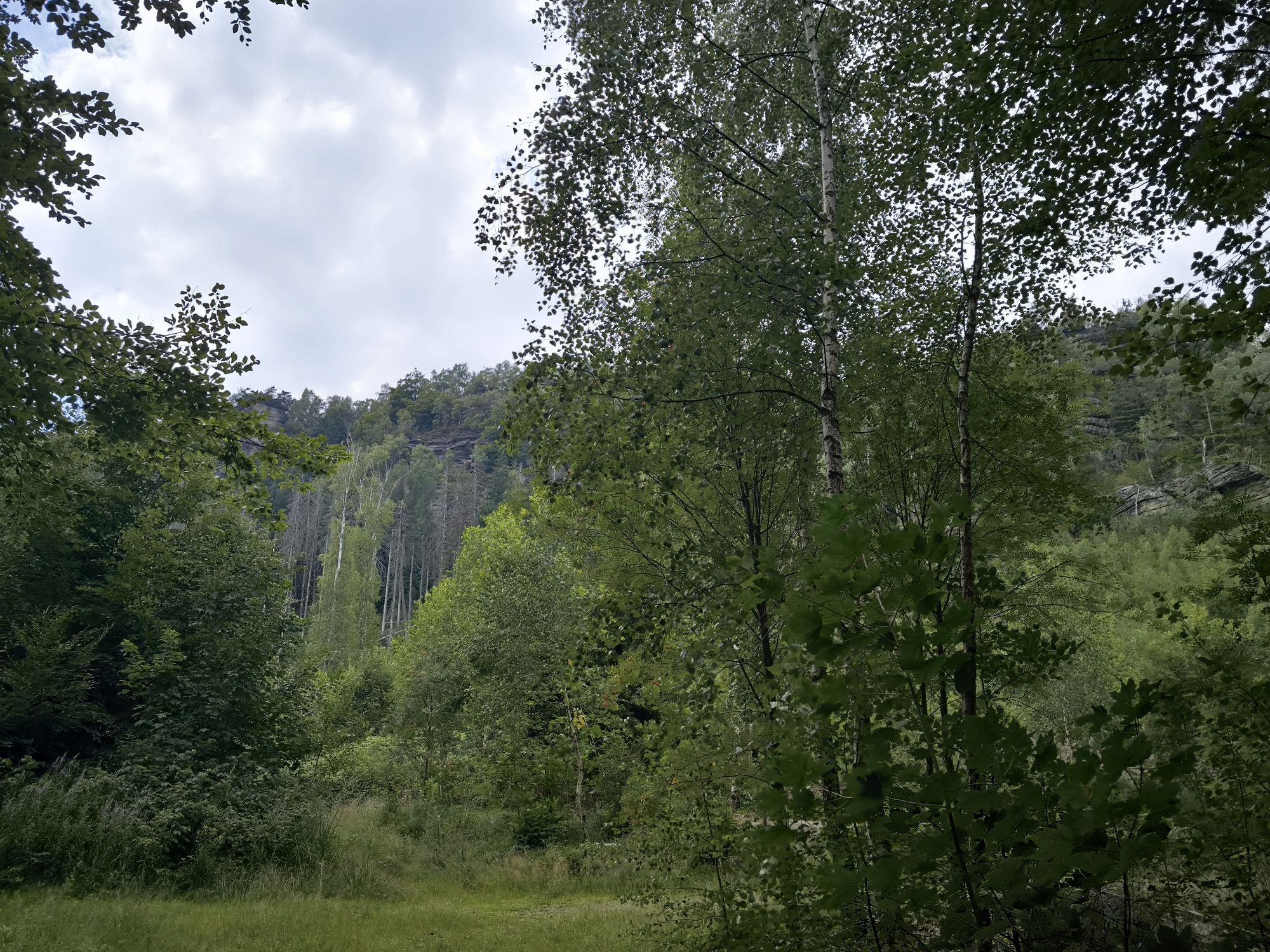
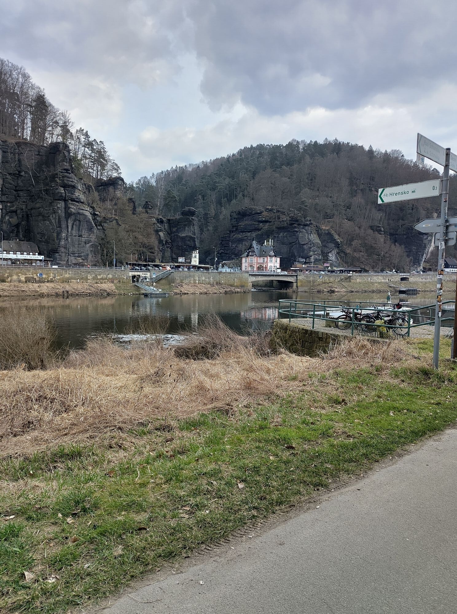
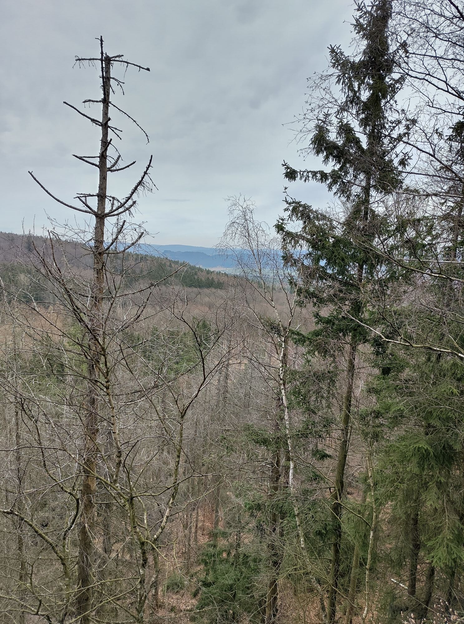
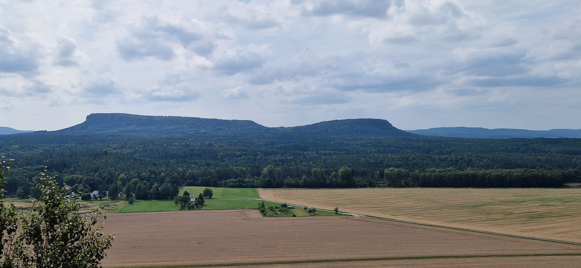
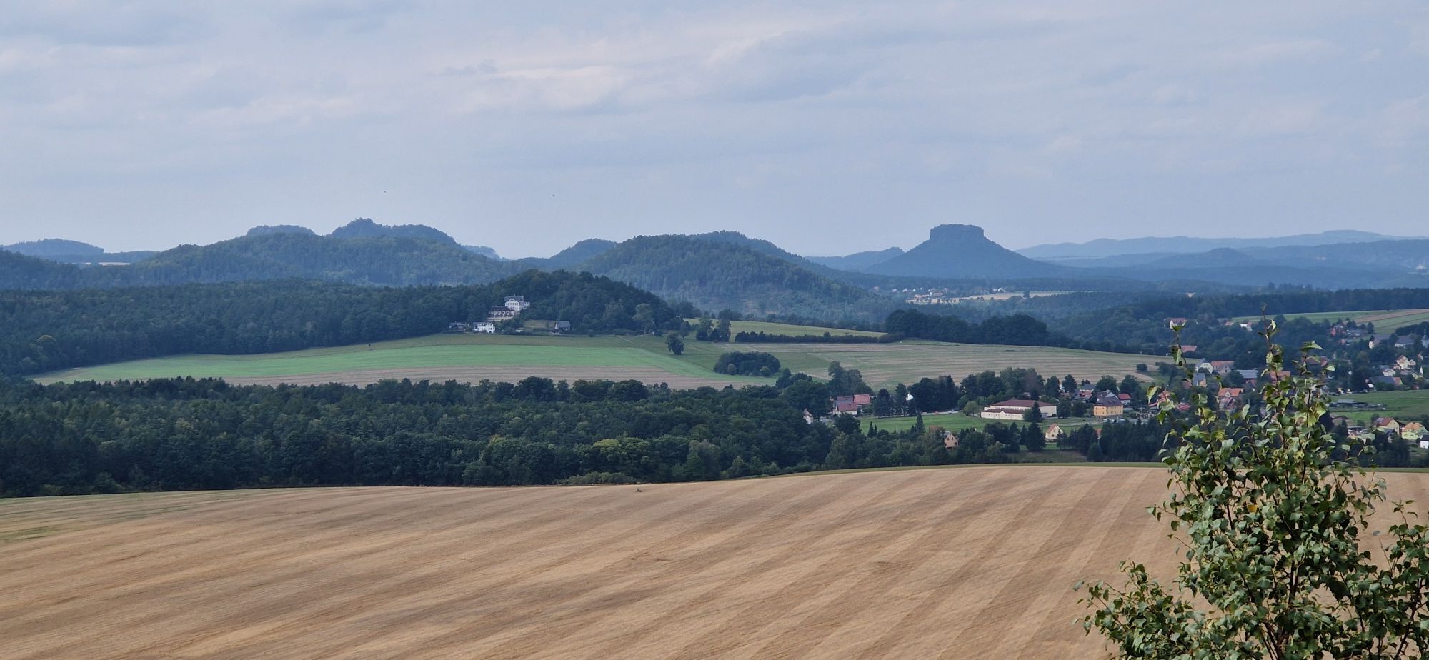
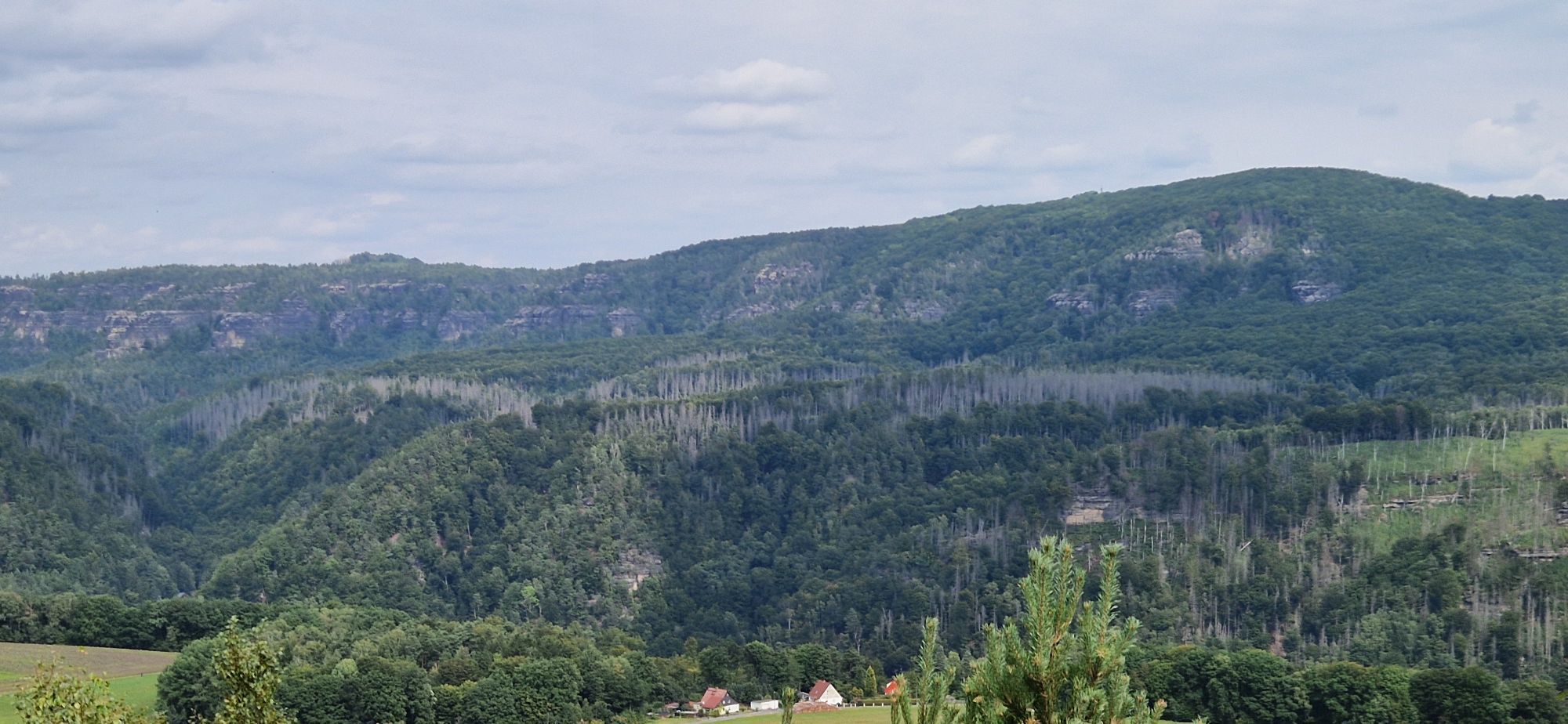
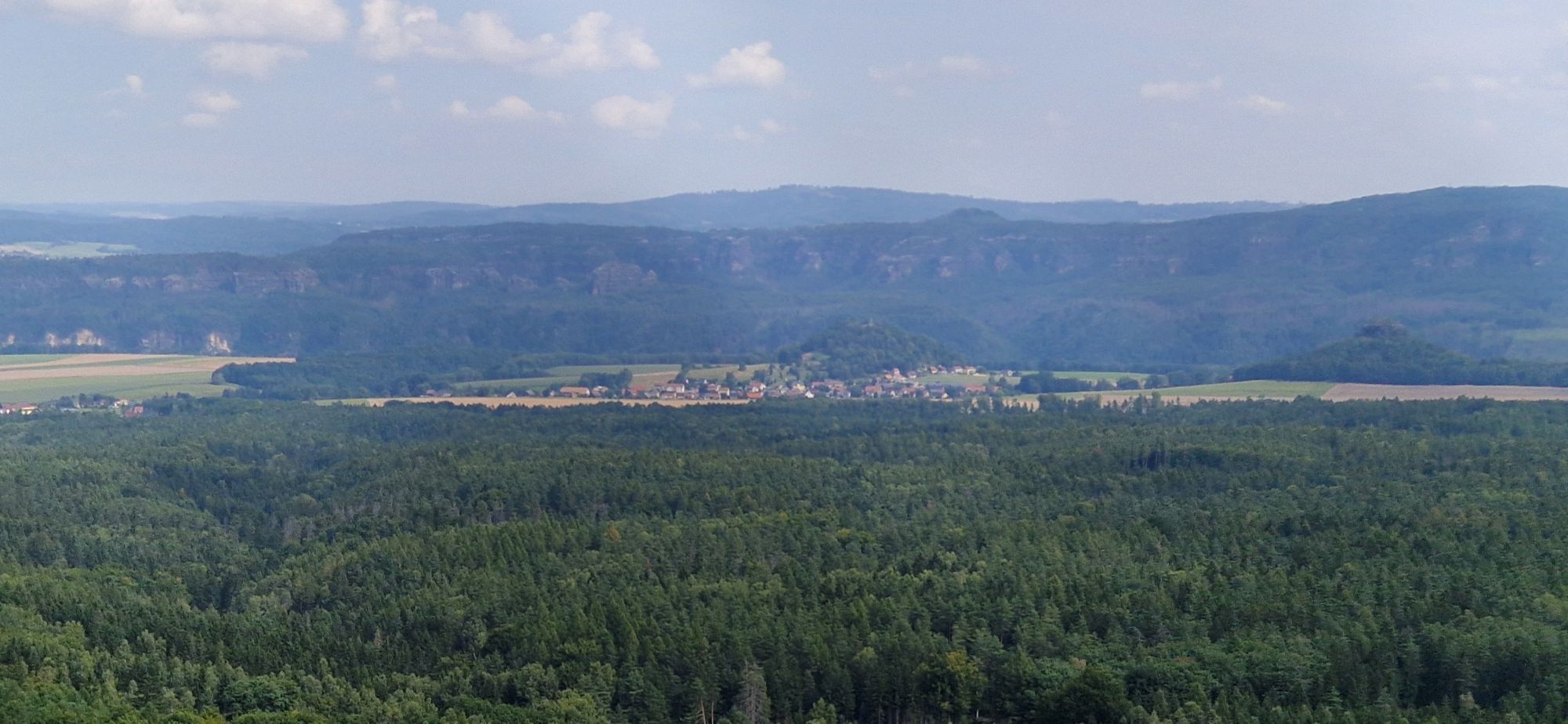
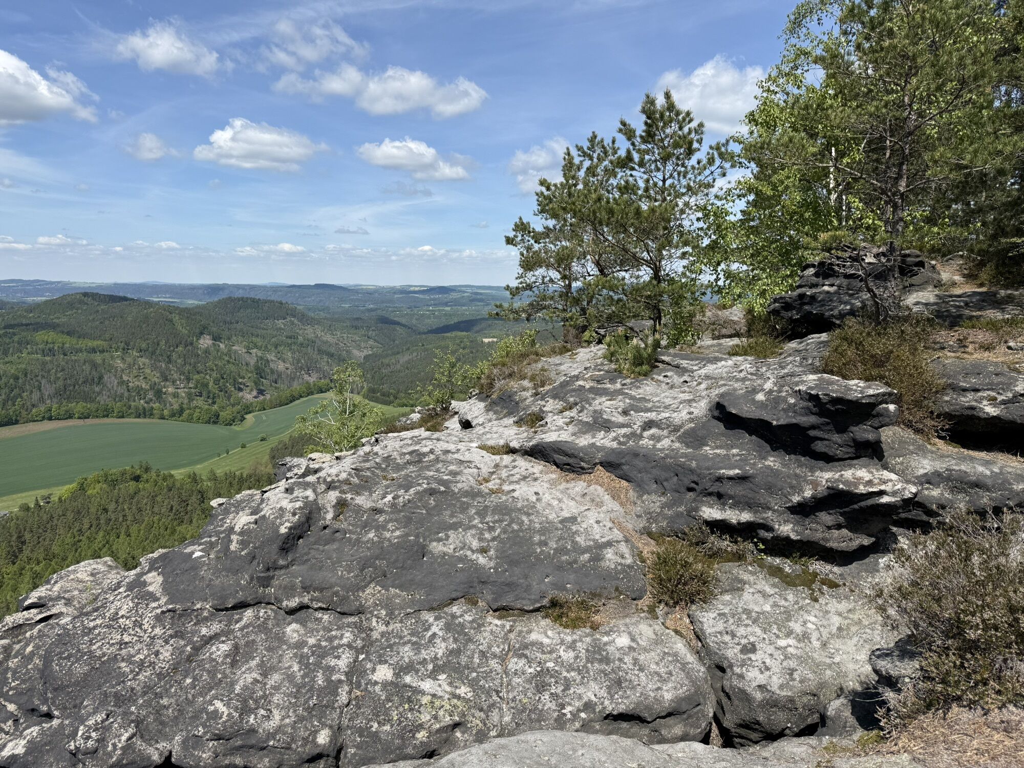
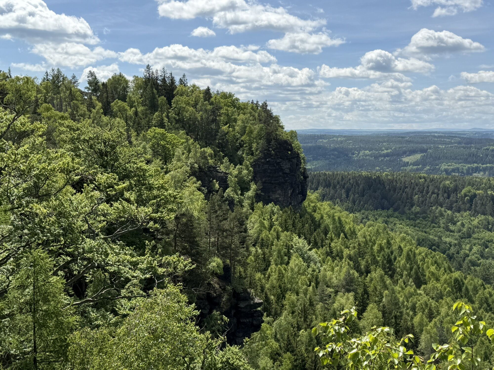
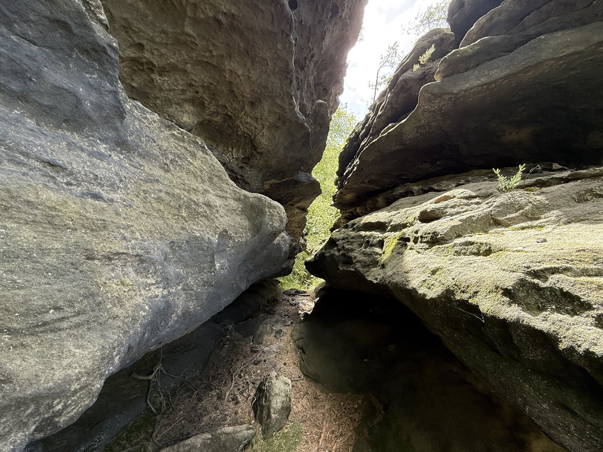
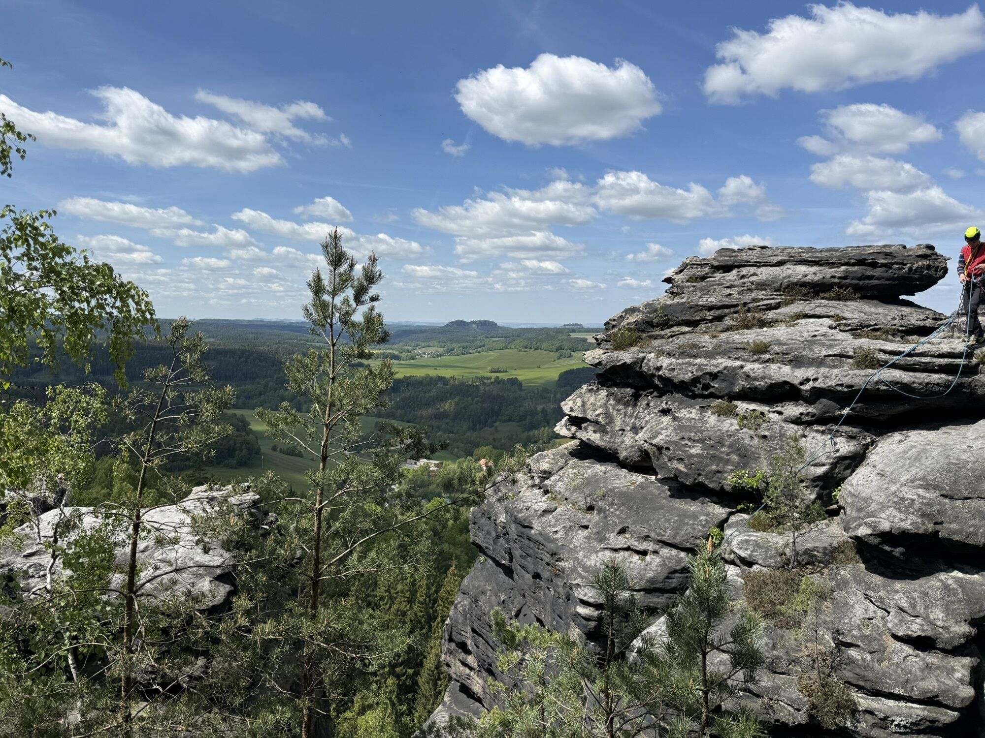

S-Bahn Schöna - Gelobtbach - Forststeig - Großer Zschirnstein - Kleiner Zschirnstein - Walderlebnispfad Rheinhardtsdorf - Zirkelstein - Schöna - S-Bahn Schöna

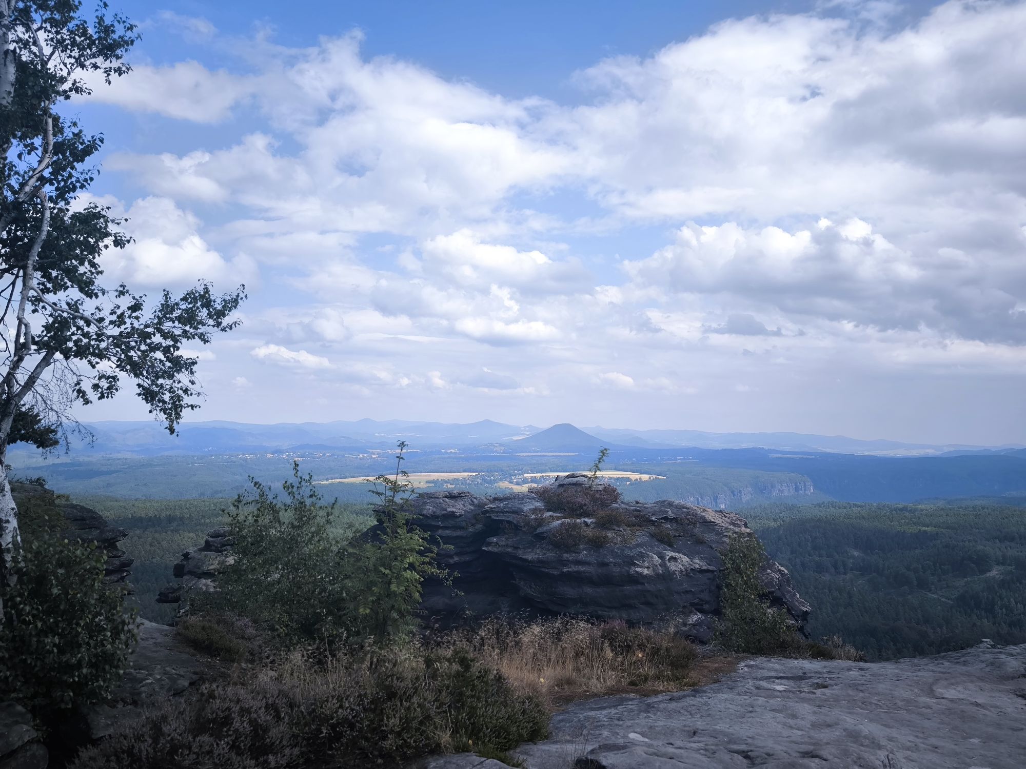
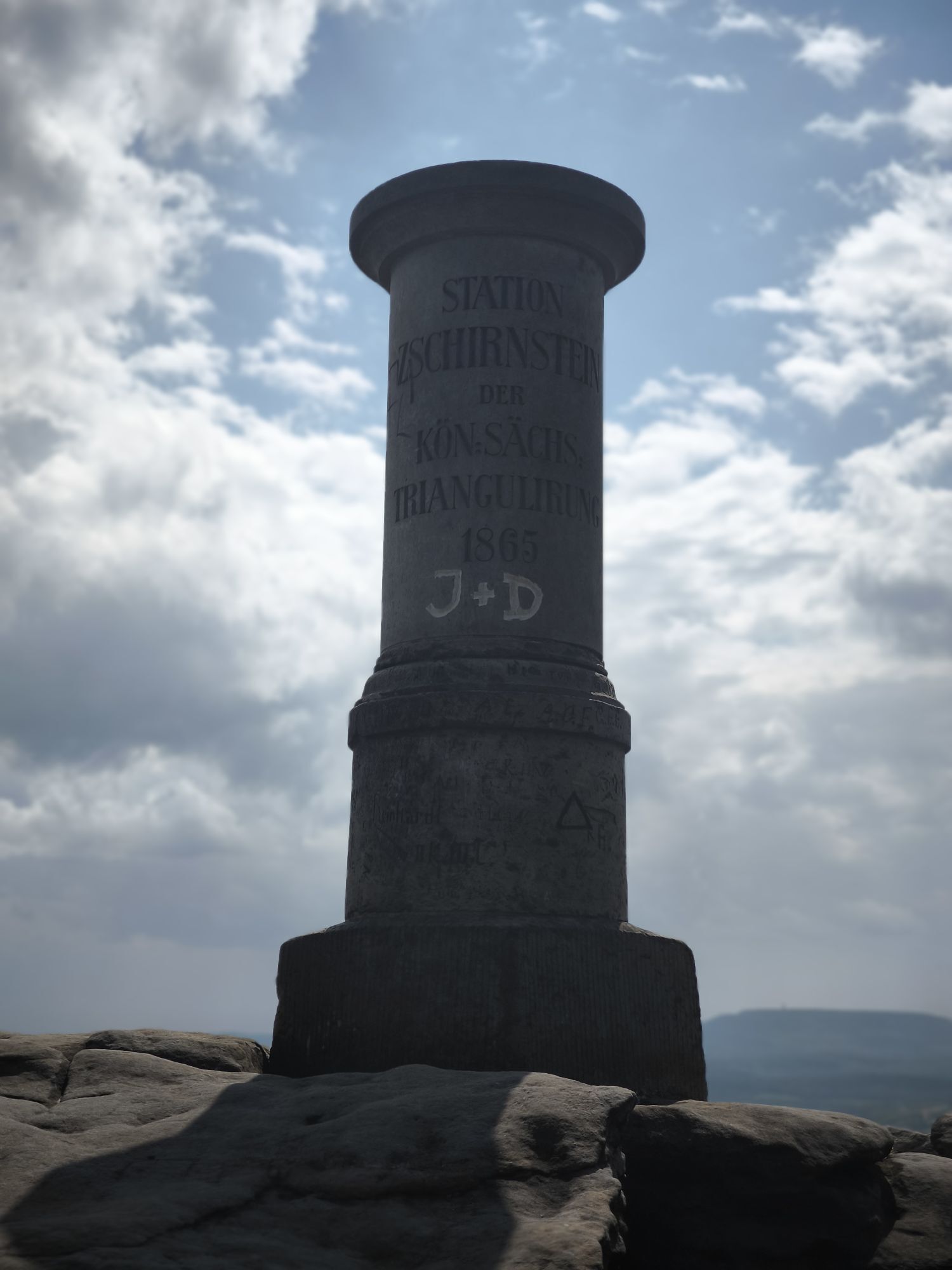
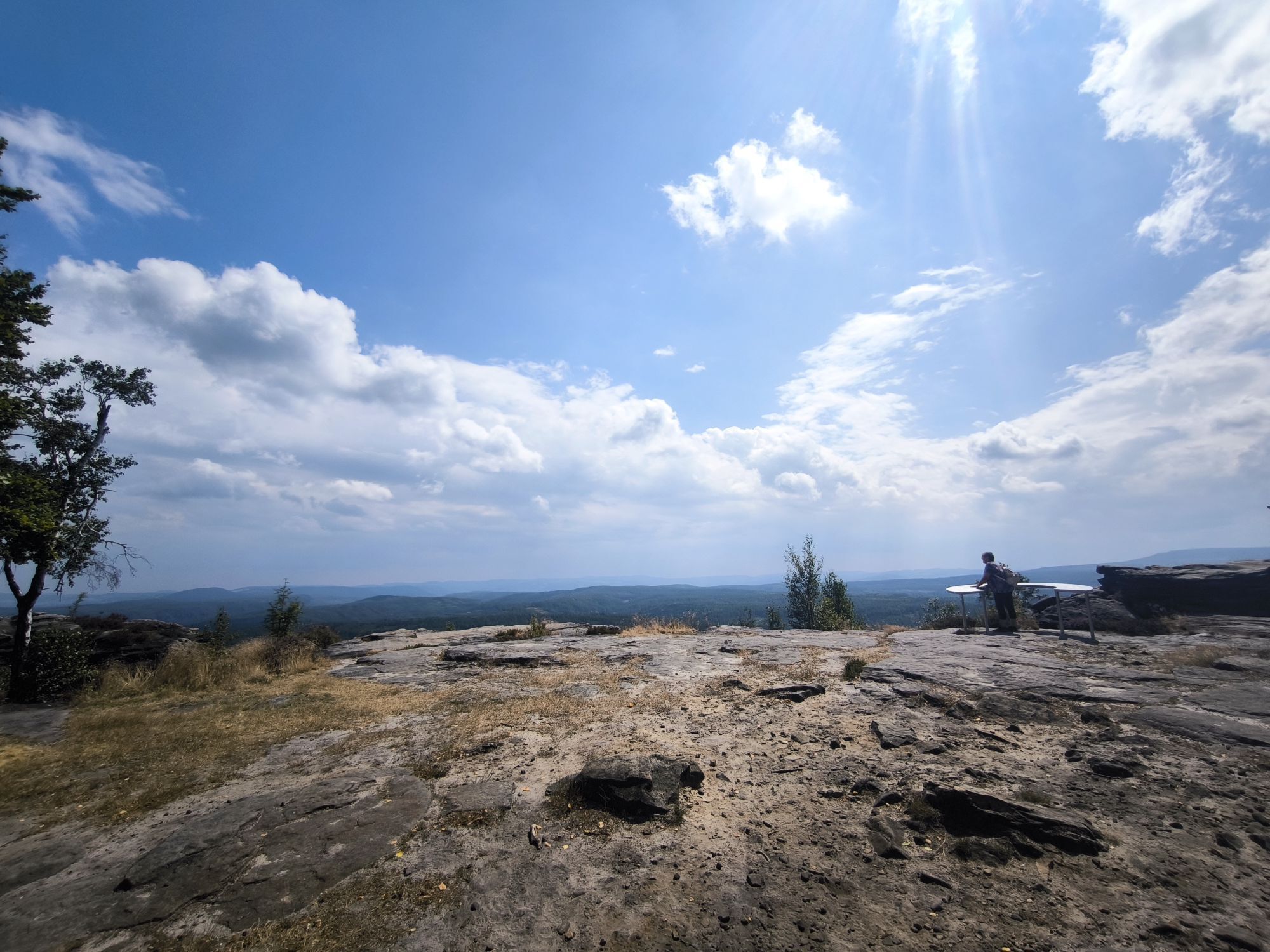
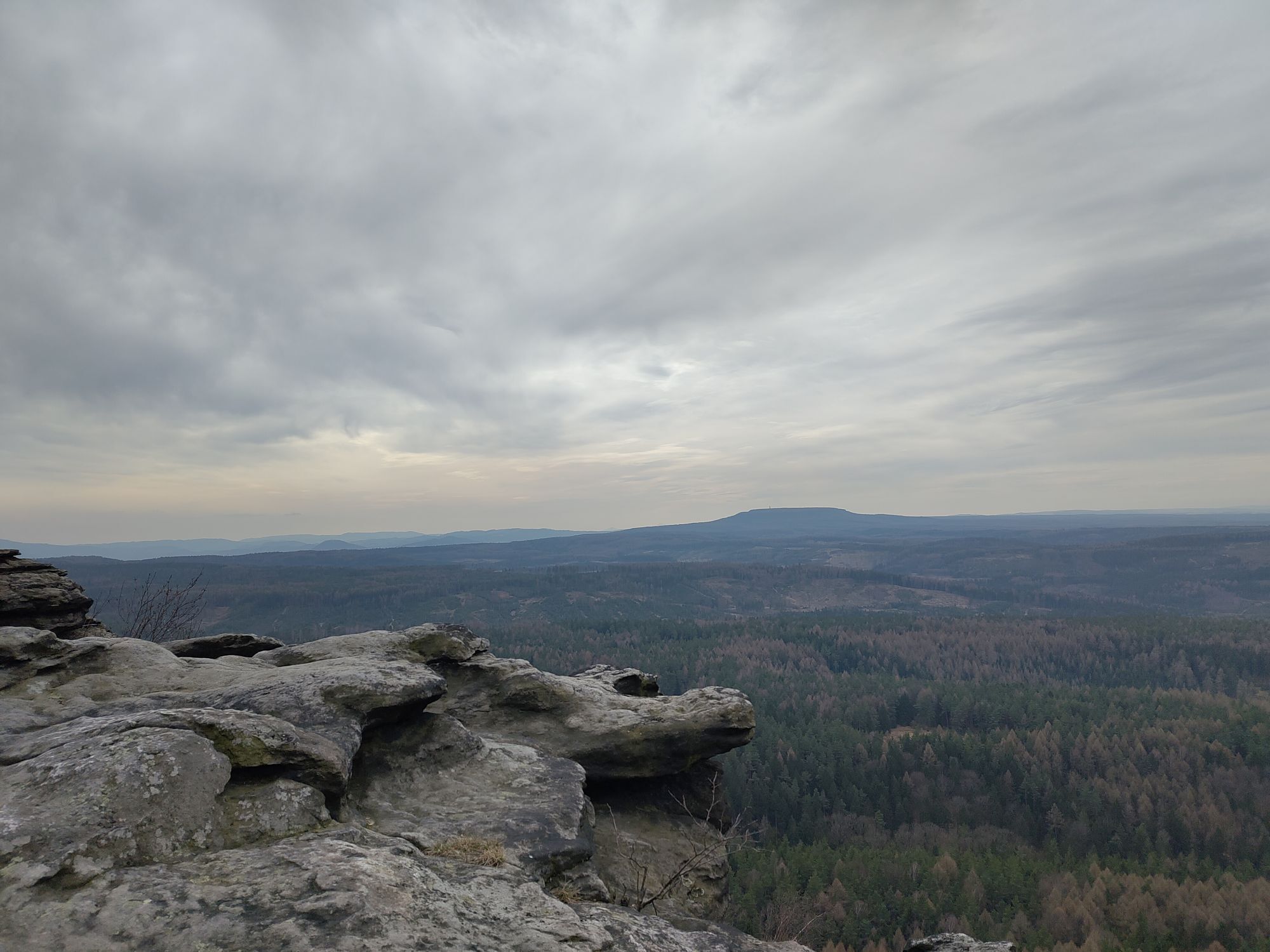
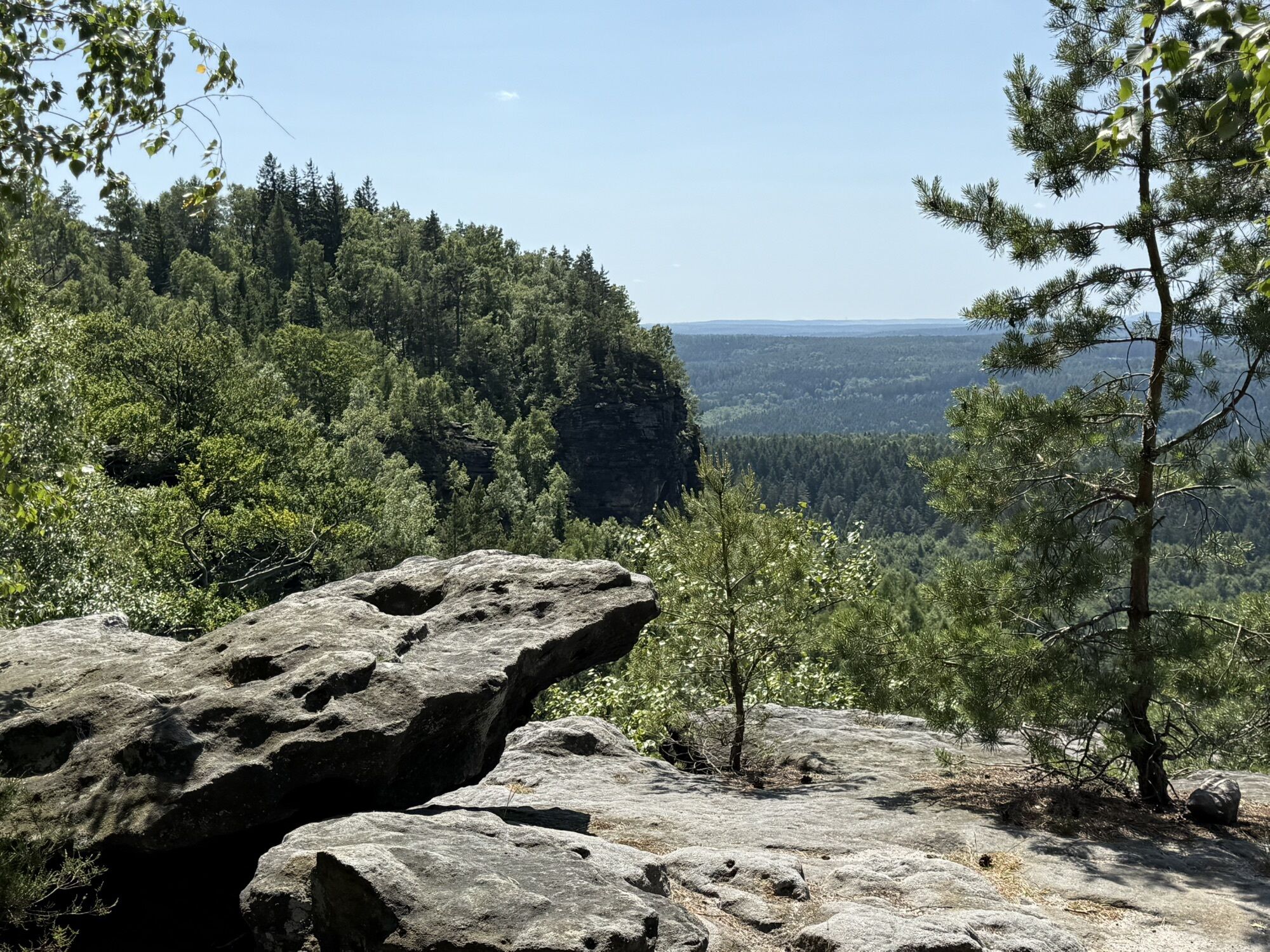
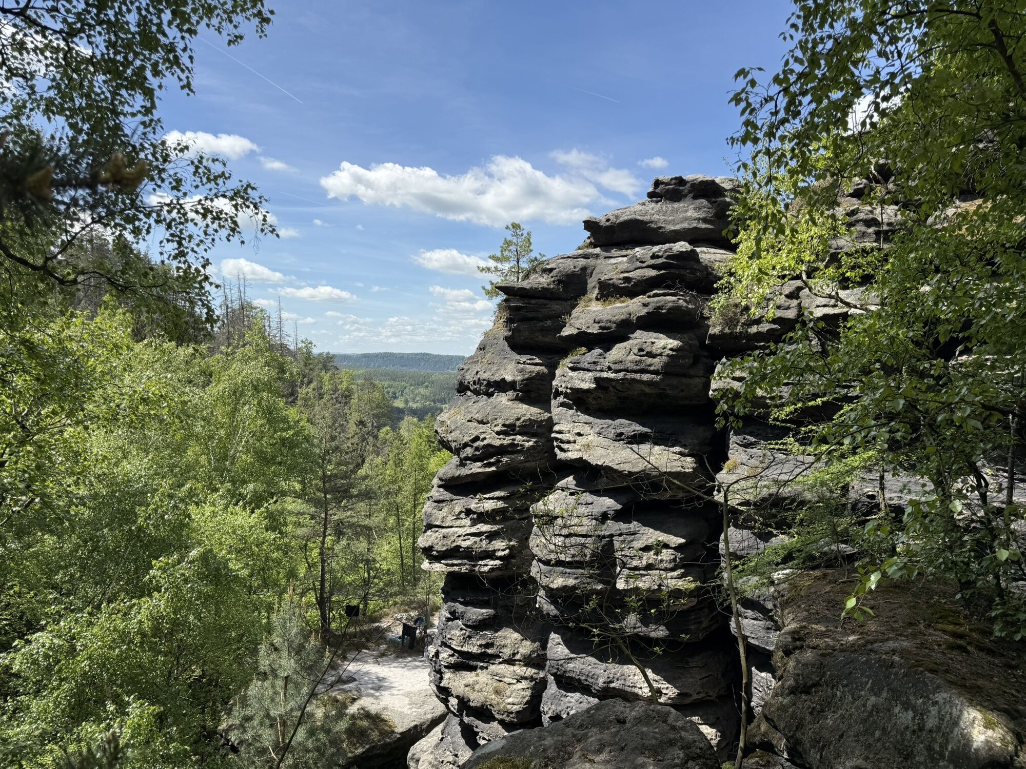
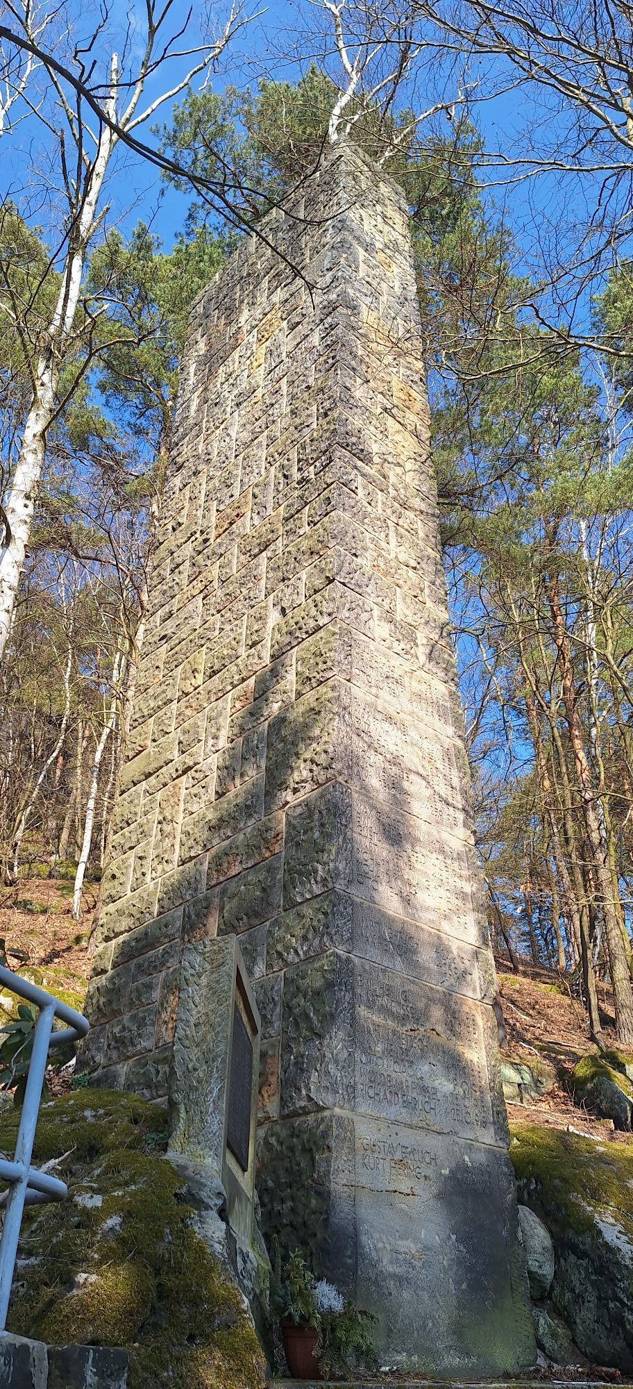
Once you have reached the top, turn right and follow the forest trail, then turn right and follow the green dot and later the forest trail to the foot of the Großer Zschirnstein. The ascent to the highest elevation of the Saxon part of the Elbe Sandstone Mountains - the Great Zschirnstein is marked with the red dot. At the top, in addition to a refuge and an old Saxon surveyor's column, a magnificent view awaits you.
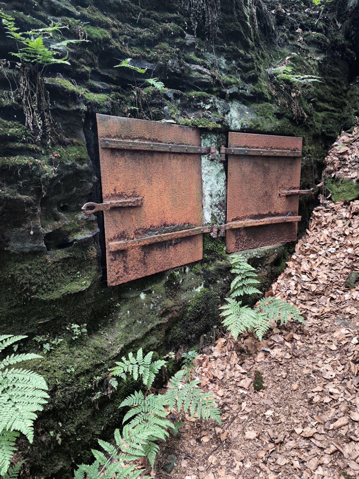
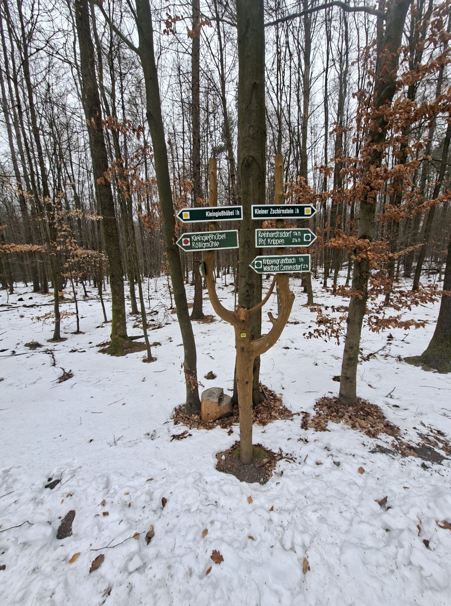
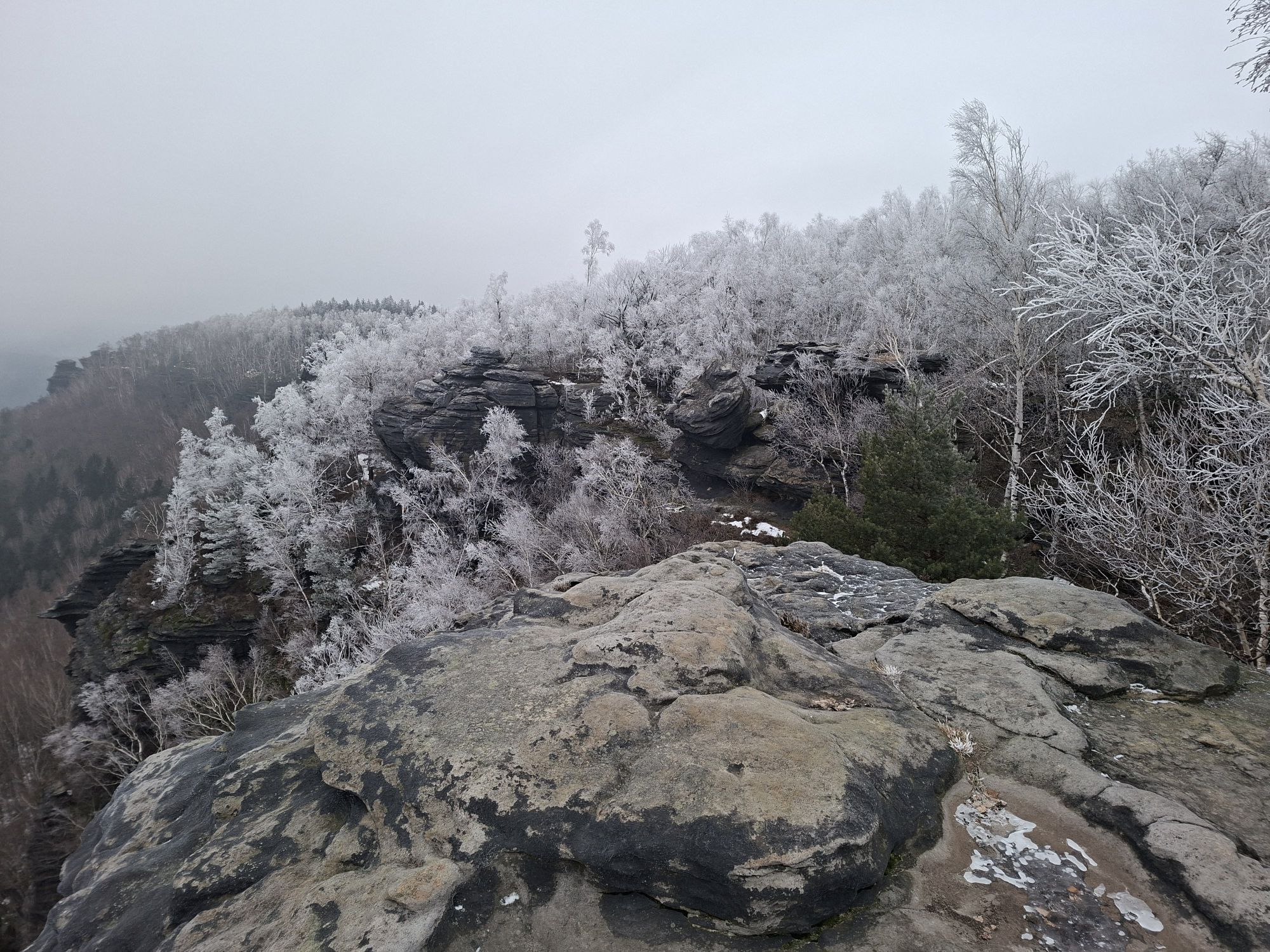
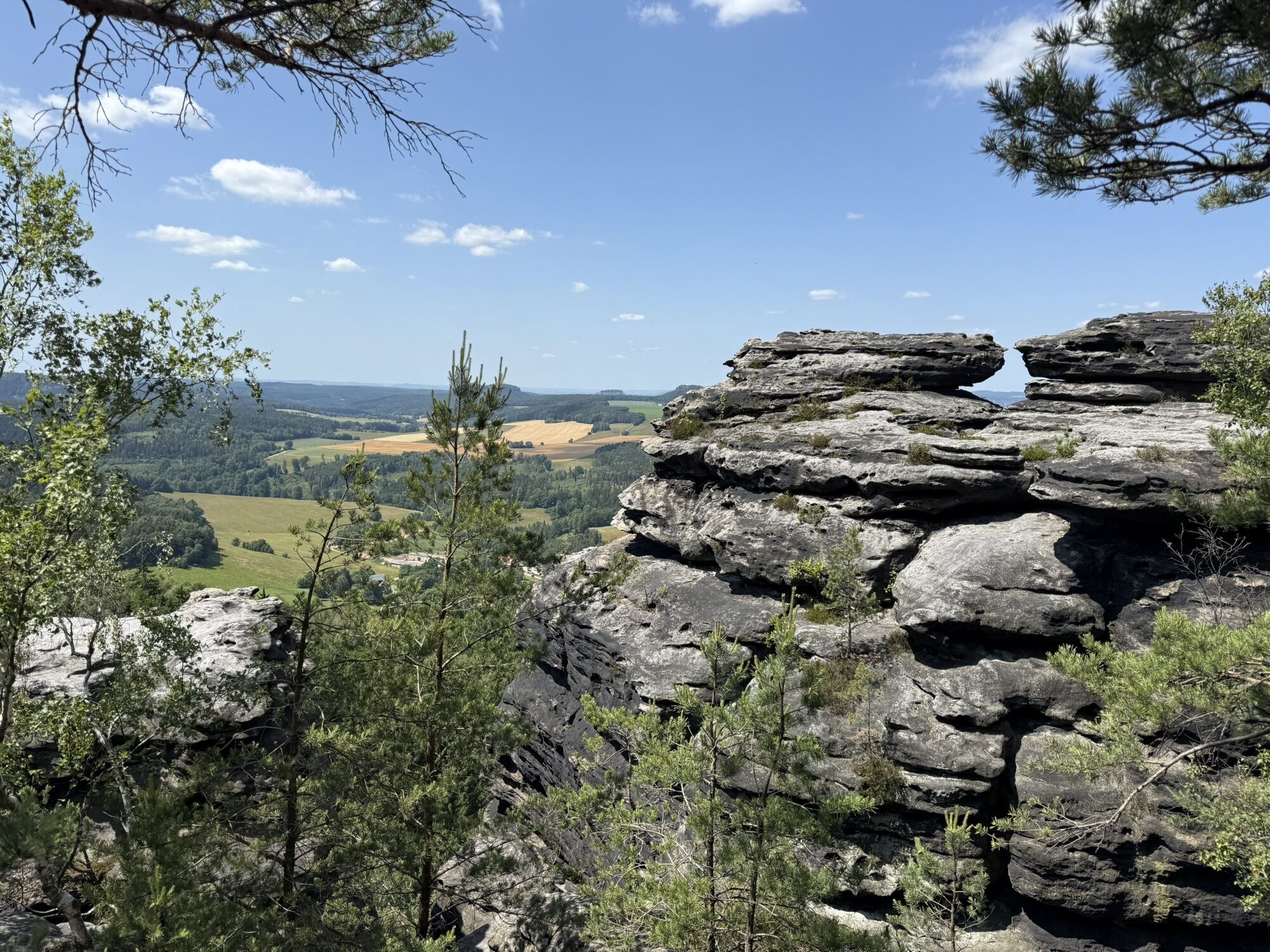
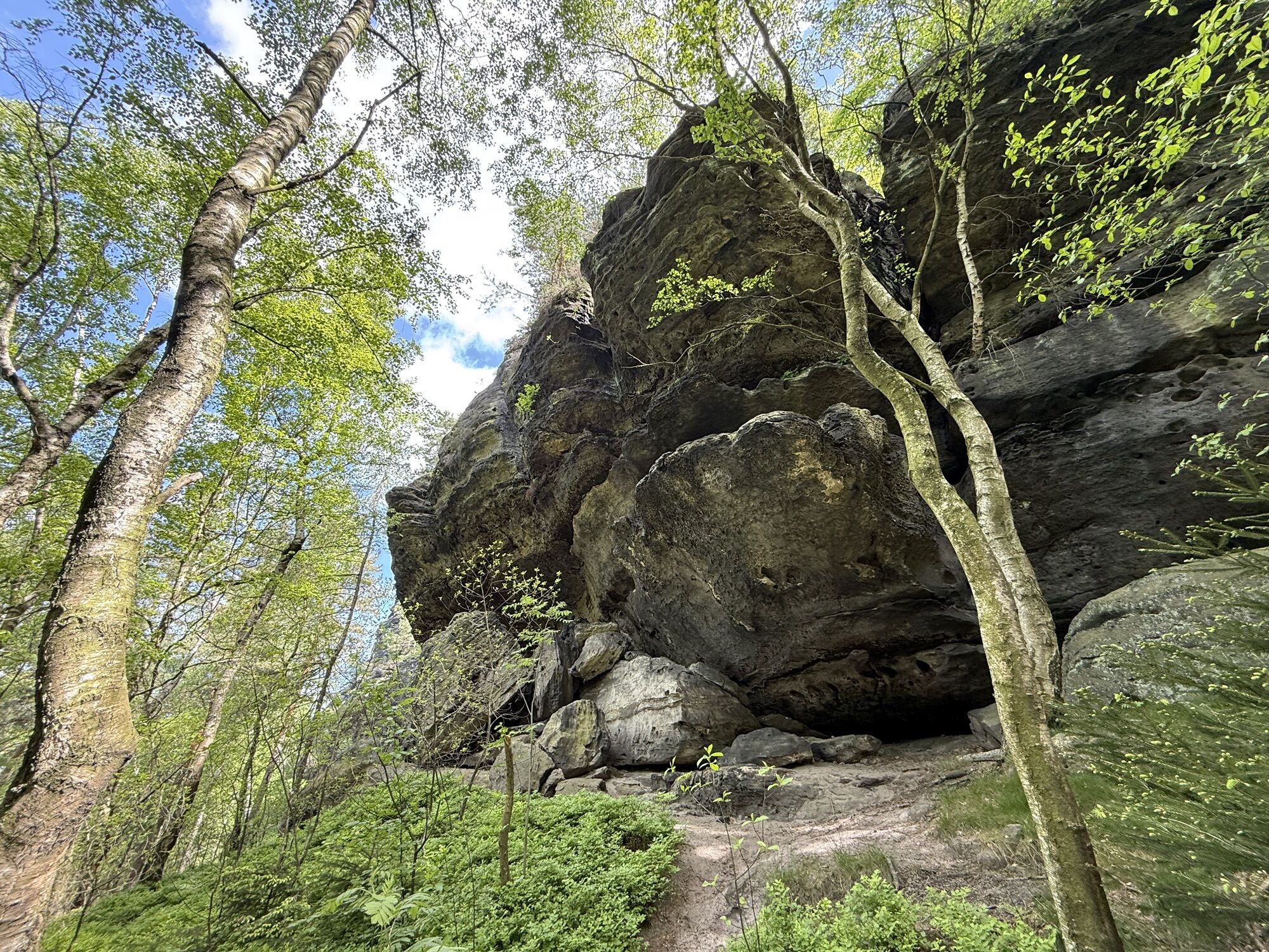
Downhill, the red point also leads past the Wildbrethöhle. At the so-called wing B, which also has the markings green and yellow point, you hike on to the right. In the saddle between the Small and Large Zschirnstein, follow the sign to the Small Zschirnstein and hike along the yellow point to the viewpoints on the northern edge of the rock. The circular route leads back to the saddle between the two table mountains. Now walk to the left, cross the meadow path and follow the Schlosserhübelweg straight ahead for about two kilometers.
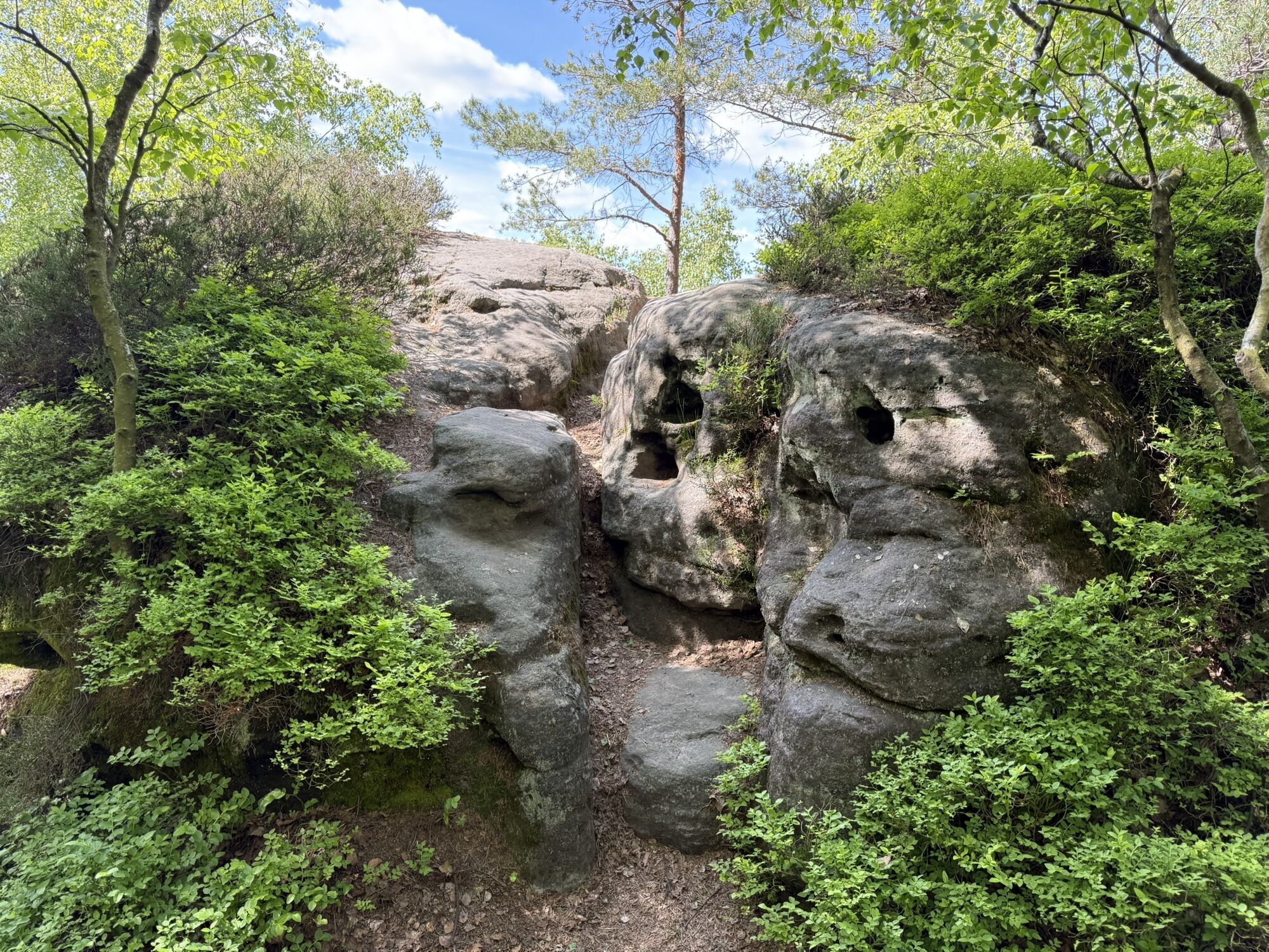
After a bench a path crosses from the right to the left, which you turn right and follow on the road for the last part until you reach the forest bath. Directly behind the swimming pool, a forest path goes uphill to the right, which meets the Reinhardtsdorf forest adventure trail. Follow it to the right until you reach a small parking lot in the forest and pass some interesting stations along the way.
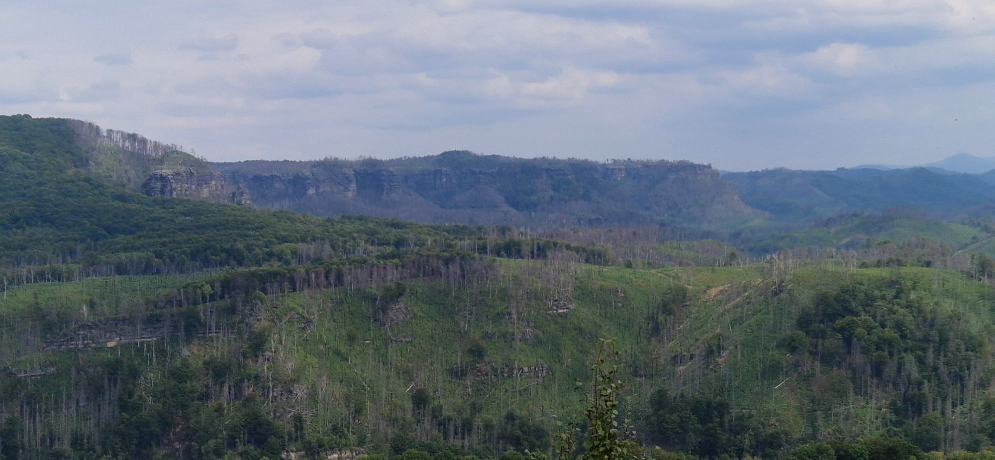
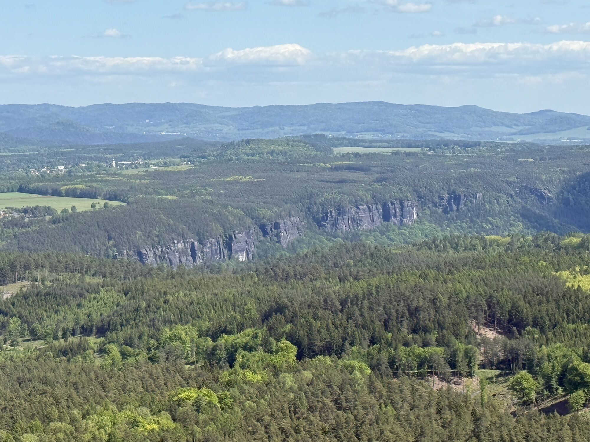
Here you continue along the Waldbadstraße to the right and thus come to a hiking trail marked with a yellow line, always leading along the edge of the forest. From afar you can see the small slender table mountain that rises and is the last high destination of the tour. From the plateau you can see the sandstone formation on the other side of the Elbe, the beech-covered Winterberg and the Prebisch Gate behind the deeply cut Elbe.
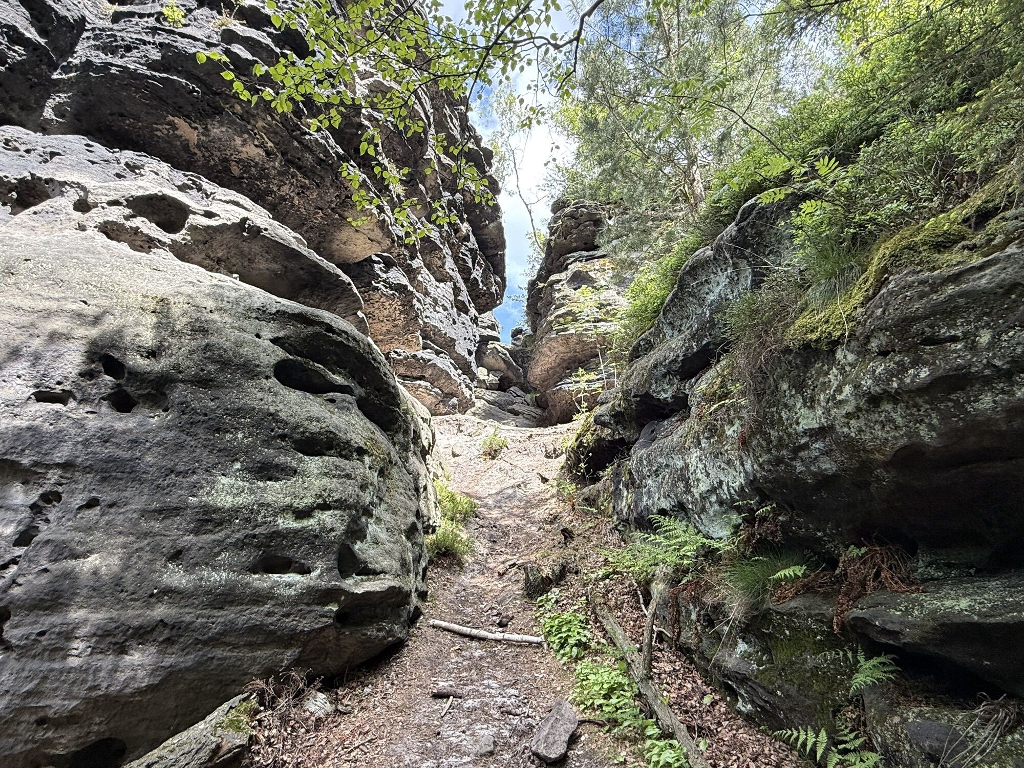
After the descent, follow the path to the left around the Zirkelstein and hike comfortably to Schöna and over the Kohlichtgraben downhill back to the train stop.
Order here: Hiking maps
Hiking shoes and food
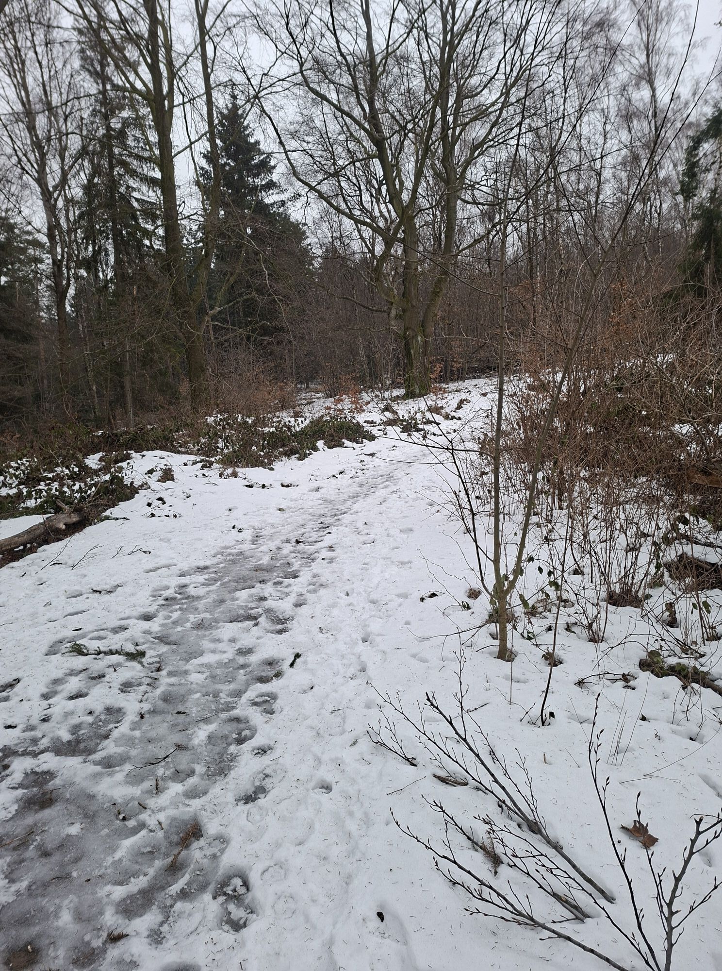
Ascent to the Gelobtbach valley very steep, be careful in winter and autumn!
from Rheinhardtsdorf-Schöna via Hauptstraße on Bahnhofsstraße to S-Bahn stop in Schöna
Hardly any parking spaces available.
Hol dir den Einblick
Immer live vor Ort mit über 9.500 Webcams. In der Touren App von bergfex siehst du als Pro-User jetzt zu vielen Touren die passenden Webcams. So kannst du dir direkt die aktuellen Bedingungen ansehen.
Beliebte Touren in der Nähe
-
4,7
Rathen / Hockstein / Bastei / Rathen
mittelWanderung 14,4 km -
4,6
Von Rathewalde zur Bastei
Wanderung 12,8 km -
4,7
Rundwanderung Bastei Schwendenlöcher -Amselsee
leichtWanderung 6,21 km -
4,5
Kuhstall, Himmelsleiter und Schneiderloch
mittelWanderung 4,06 km -
4,7
Pfaffenstein Sachsen/Deutschland
mittelWanderung 3,89 km -
5,0
Basteibrücke
leichtWanderung 2,31 km -
5,0
Lilienstein
leichtWanderung 3,75 km -
5,0
Prebischtor
mittelWanderung 18,9 km -
4,9
entlang der Schrammsteine, Breite Kluft, Affenwand
mittelWanderung 11,6 km -
4,4
Kurort Rathen: Große Bastei-Runde
mittelWinterwandern 4,75 km
Wandern & Tracking


Verpasse keine Angebote und Inspirationen für deinen nächsten Urlaub
Deine E-Mail-Adresse wurde in den Verteiler eingetragen.





