







Malerweg, Stage 3: From Hohnstein to Altendorf (official version TV Saxon Switzerland)

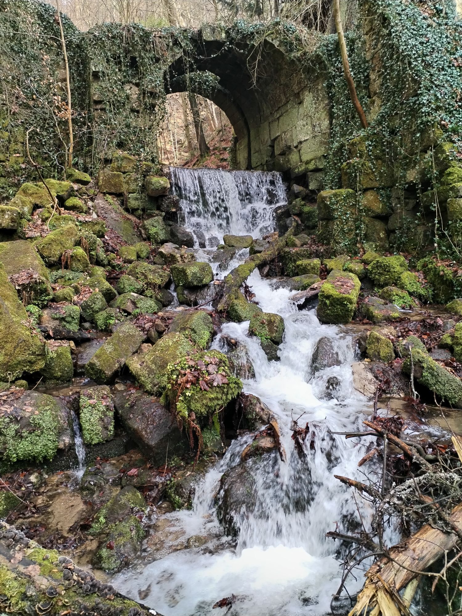
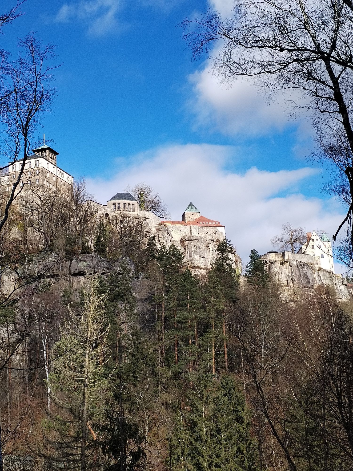
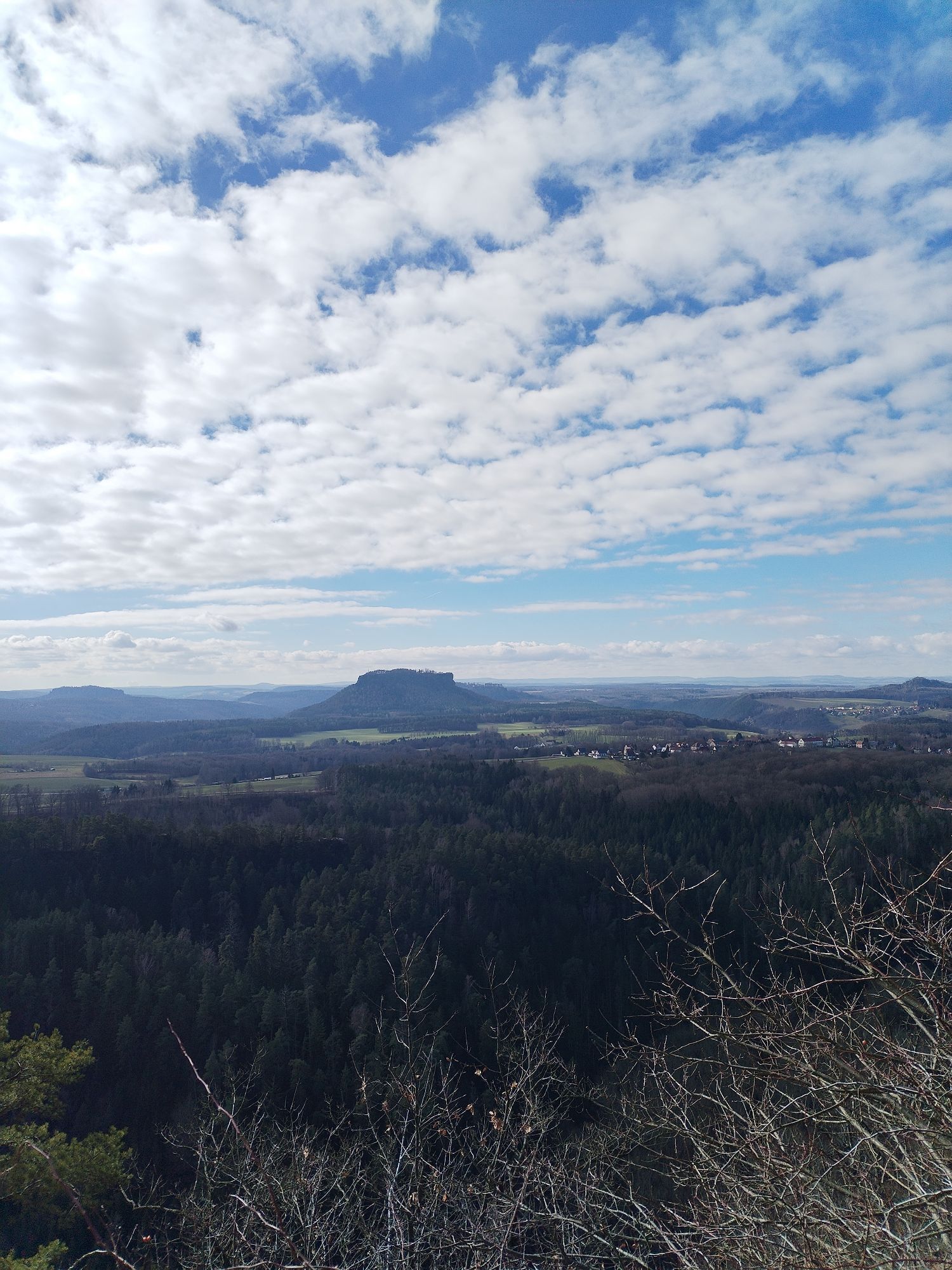
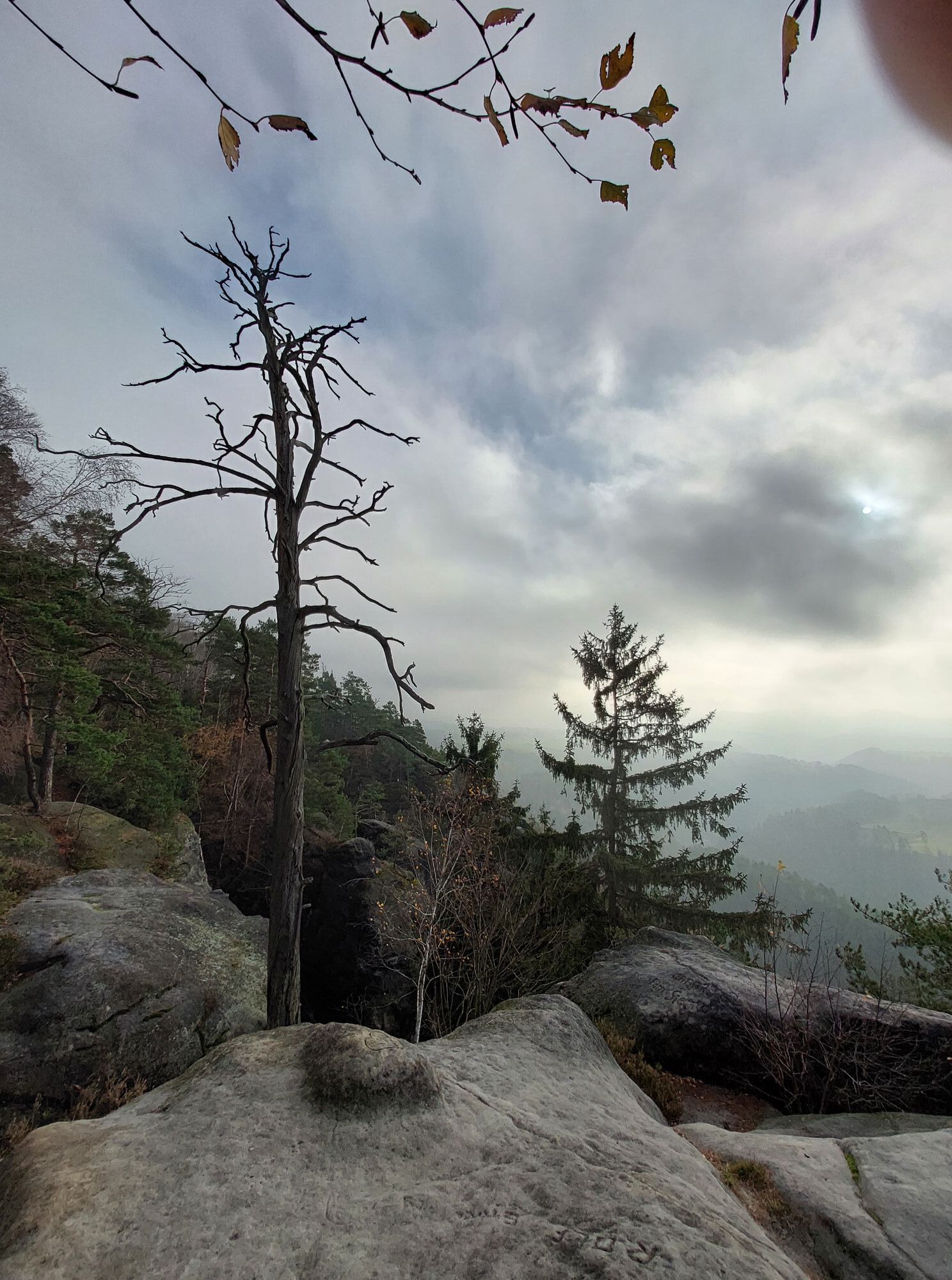
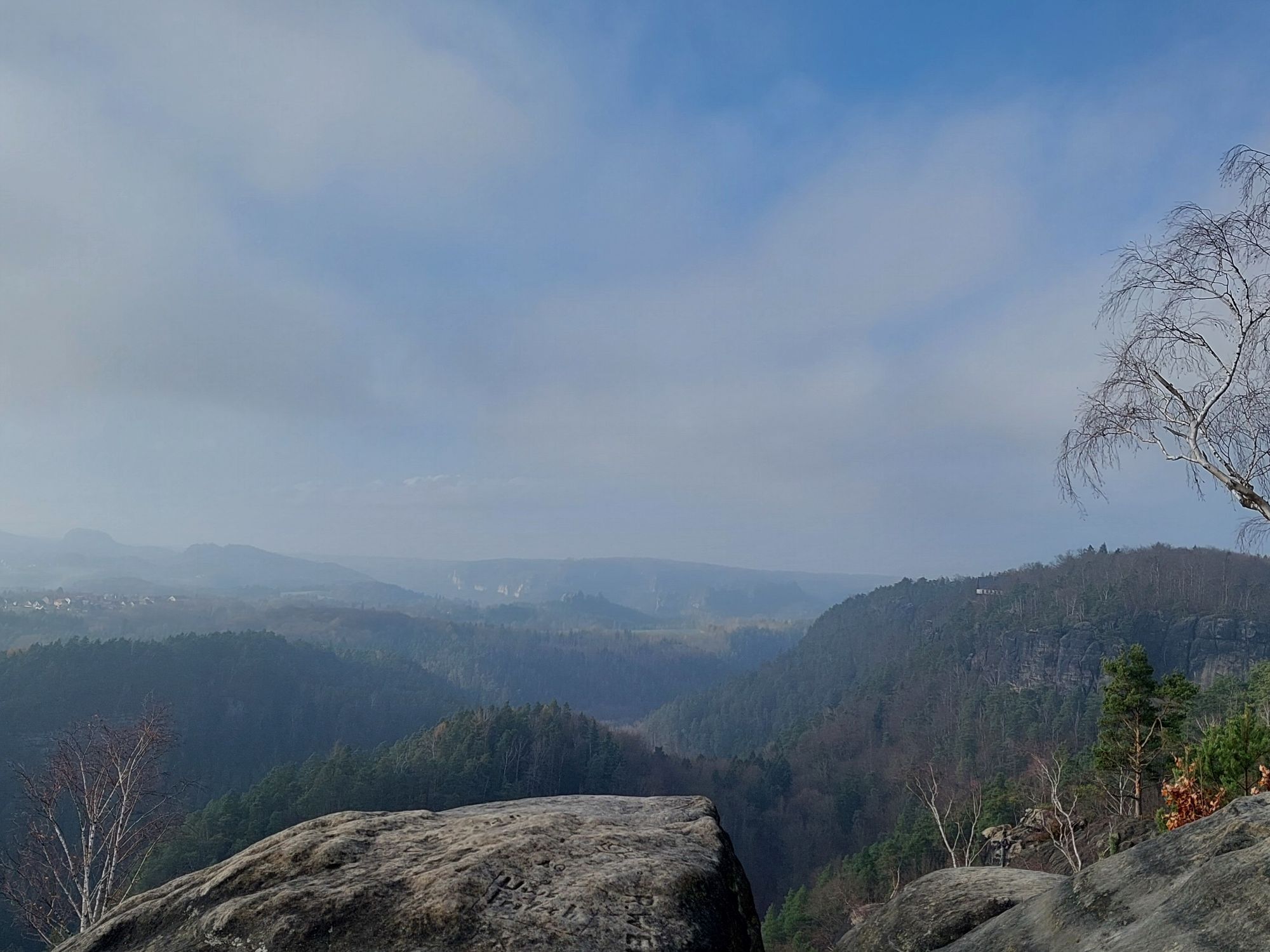
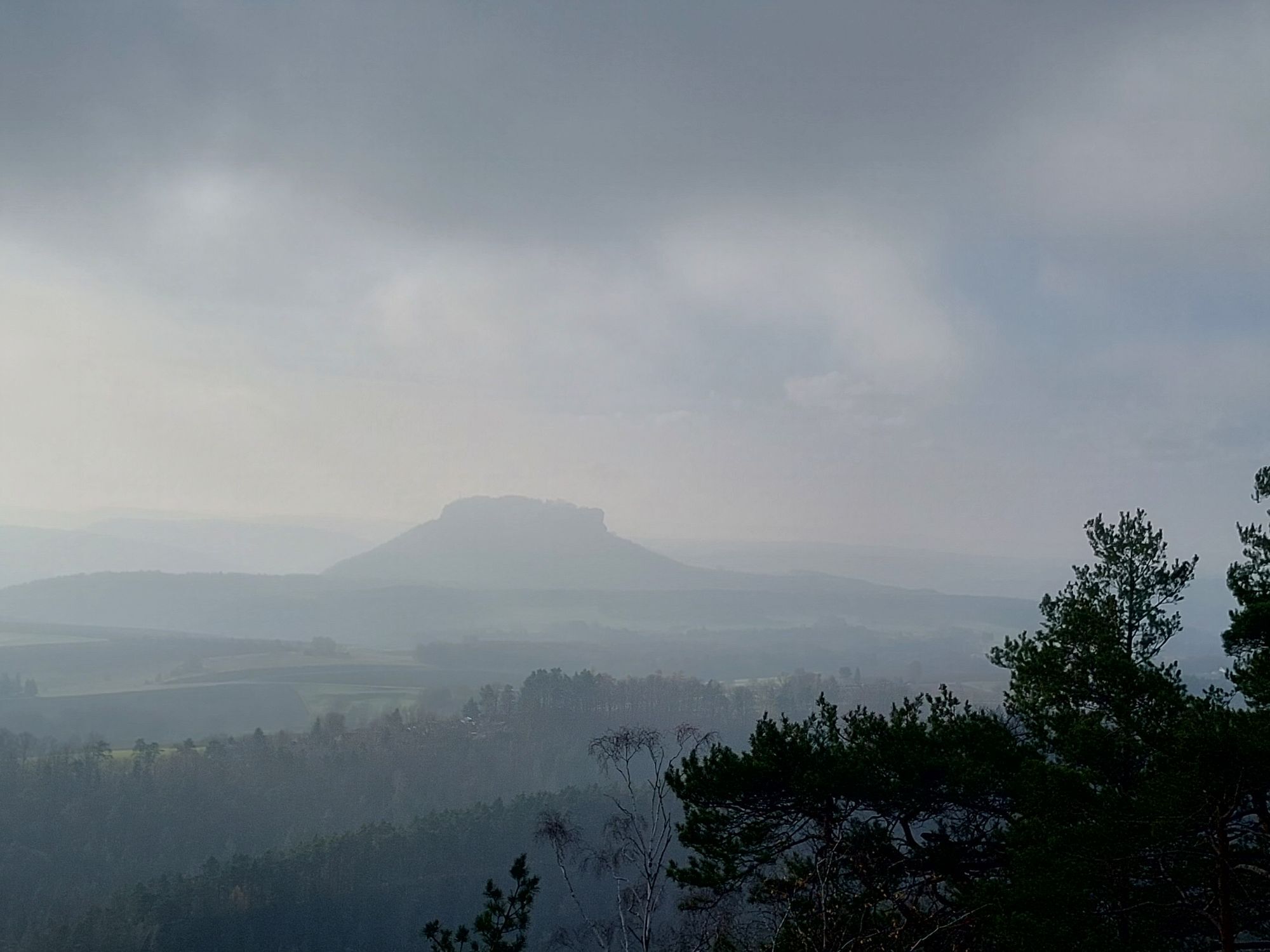
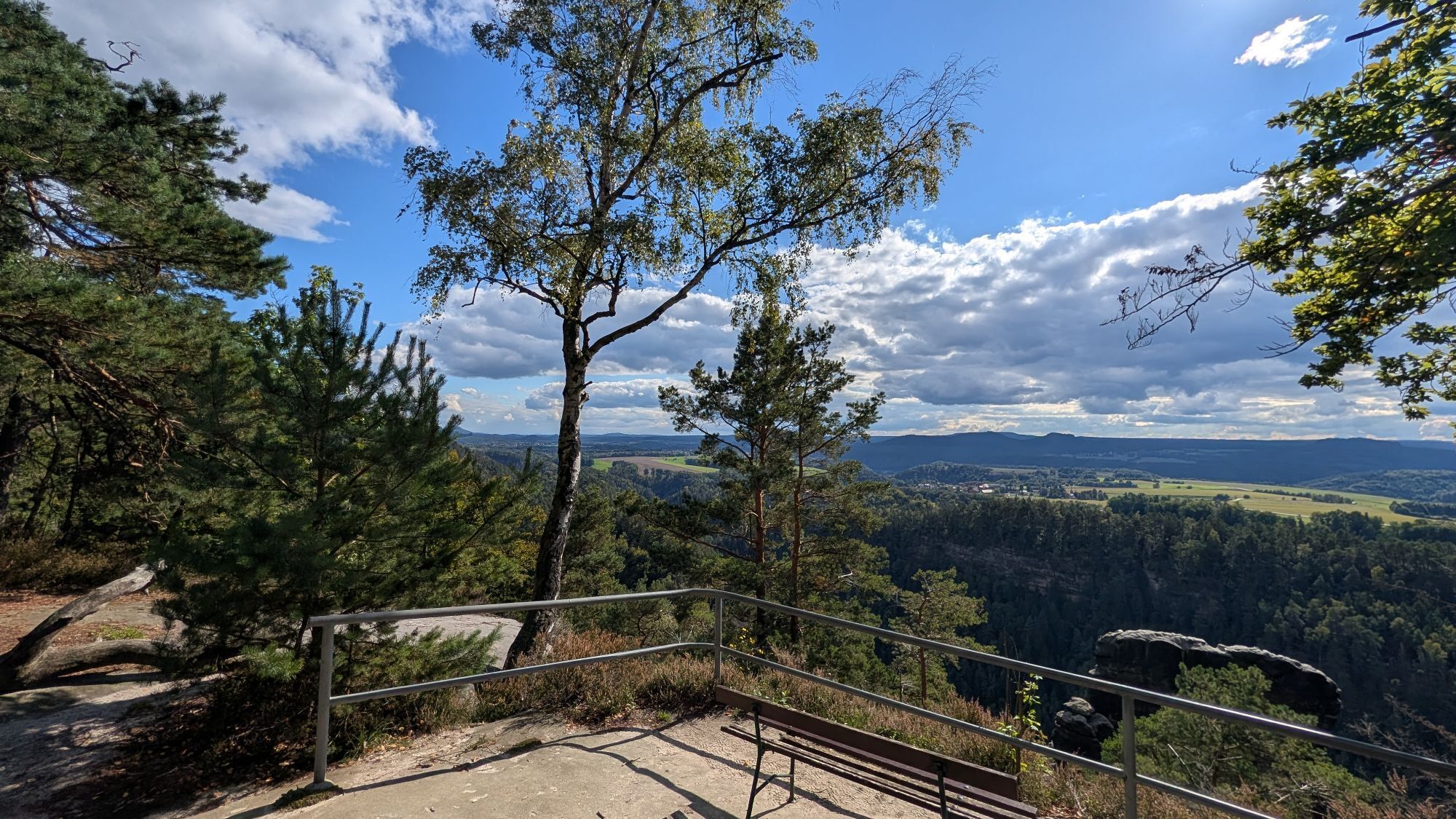
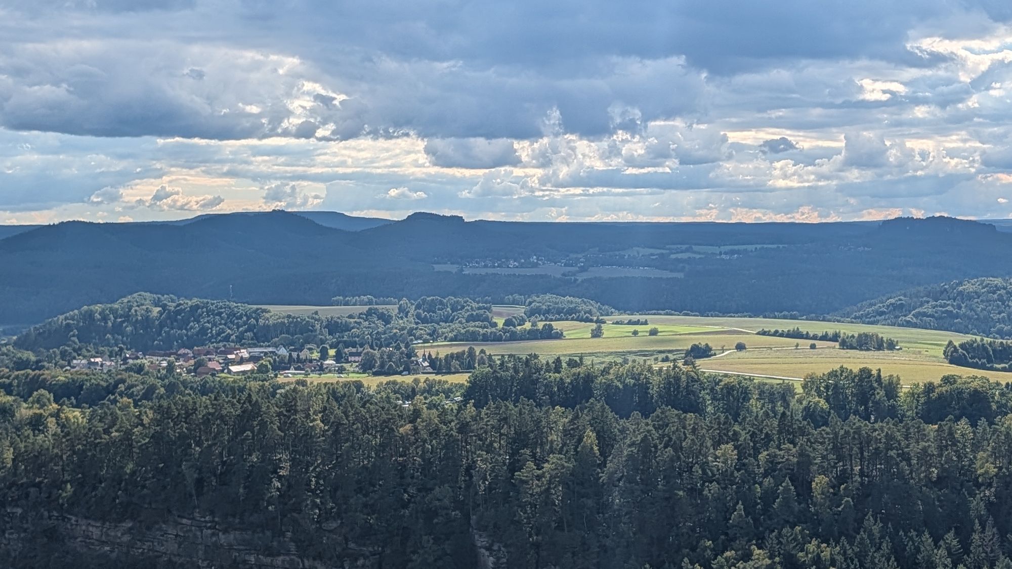
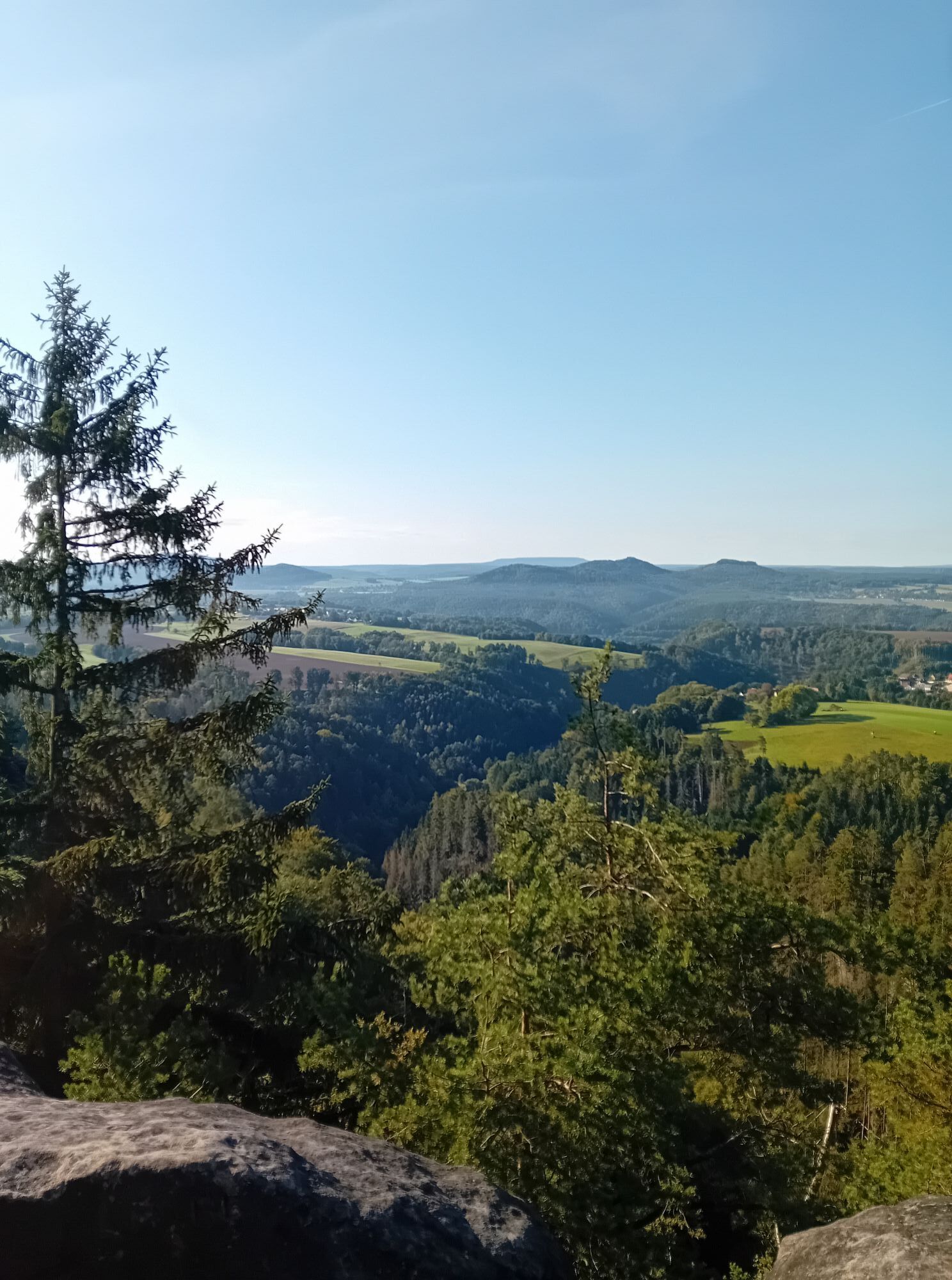
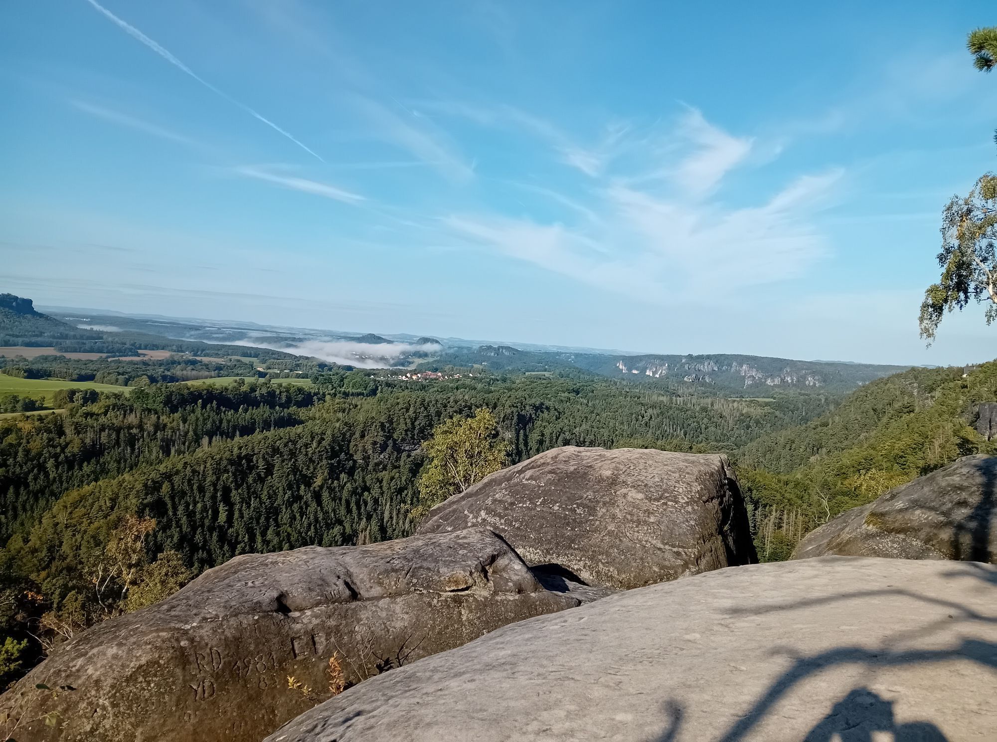
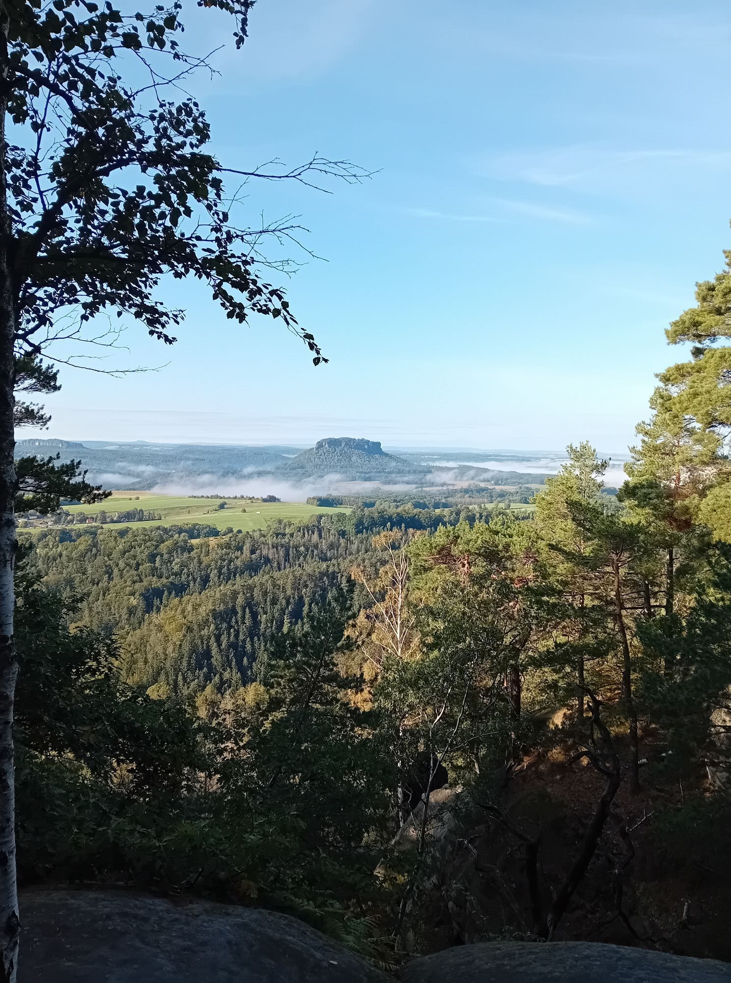
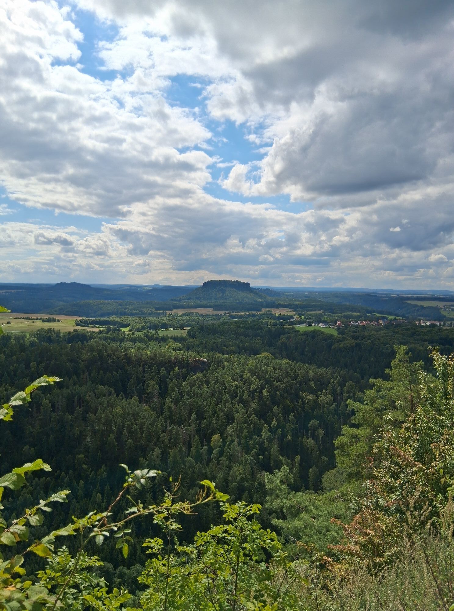
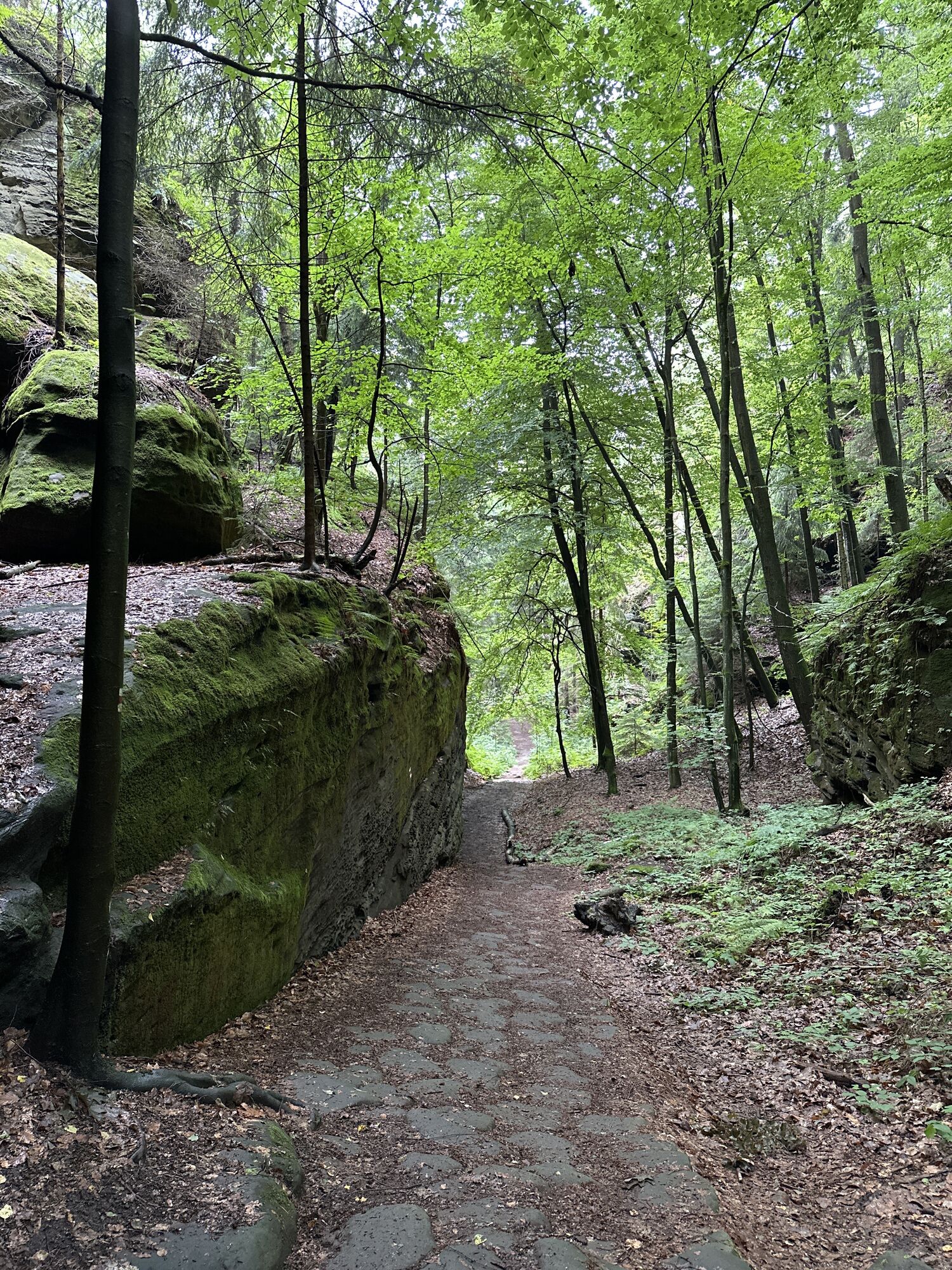
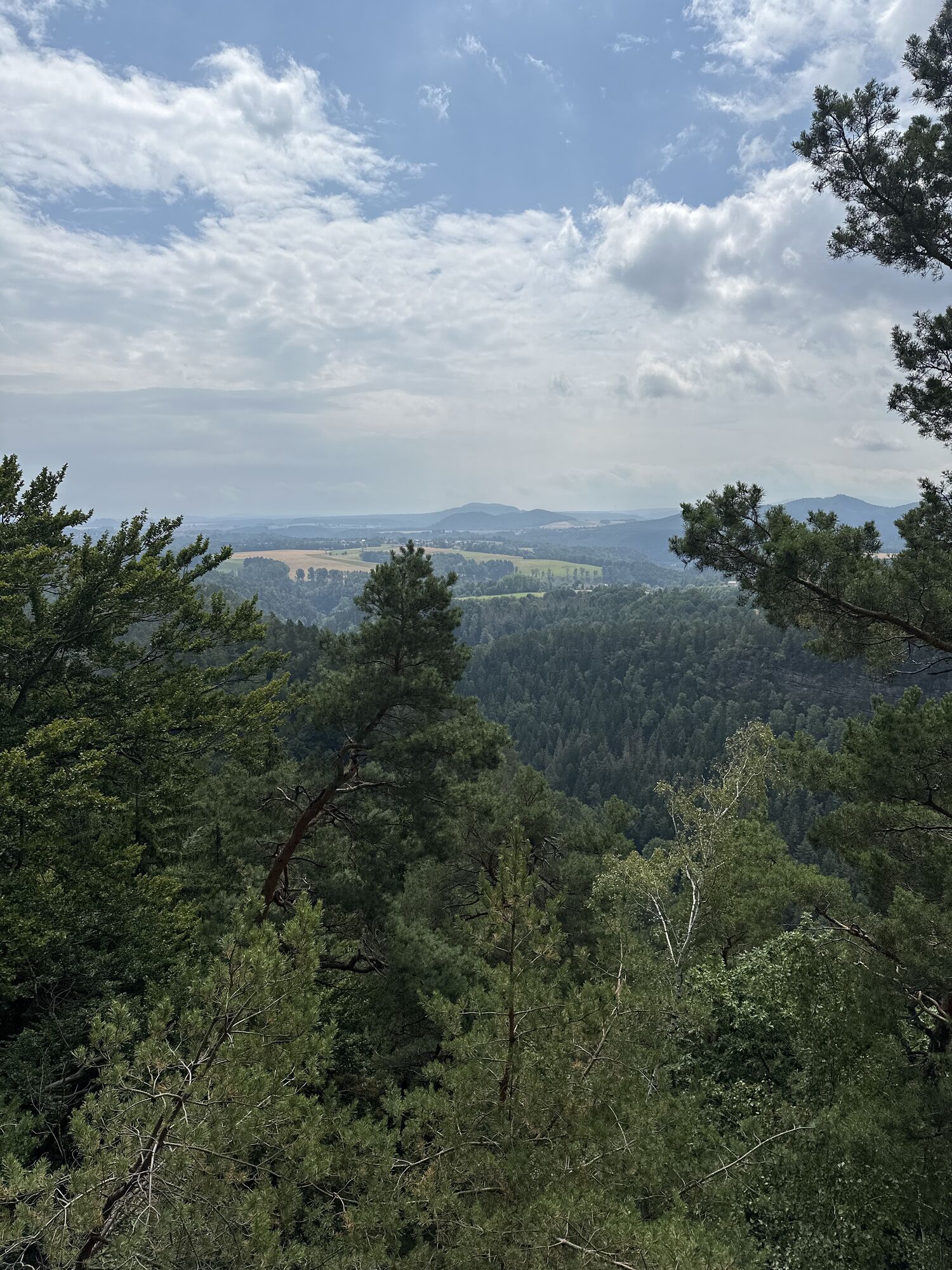
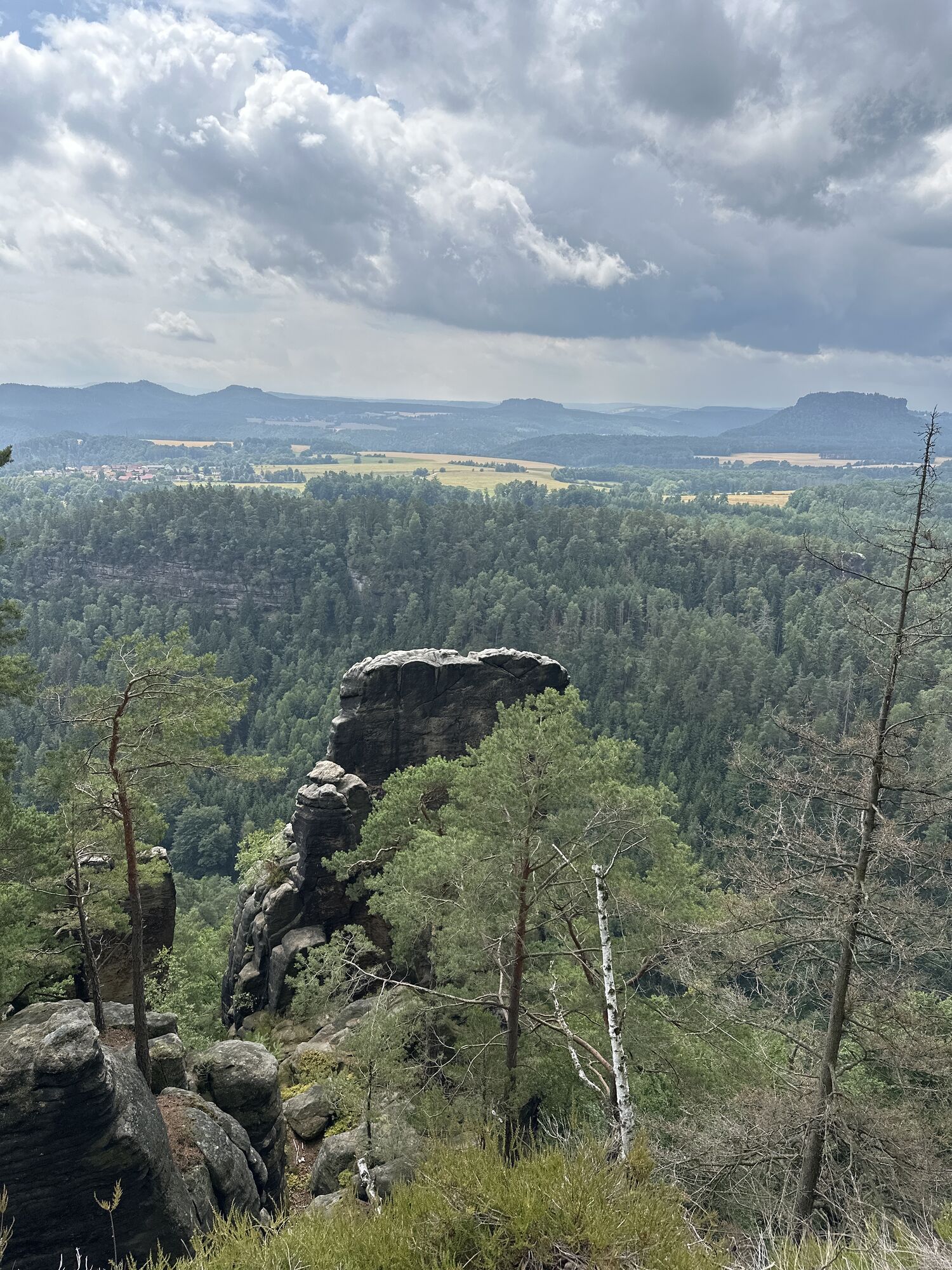
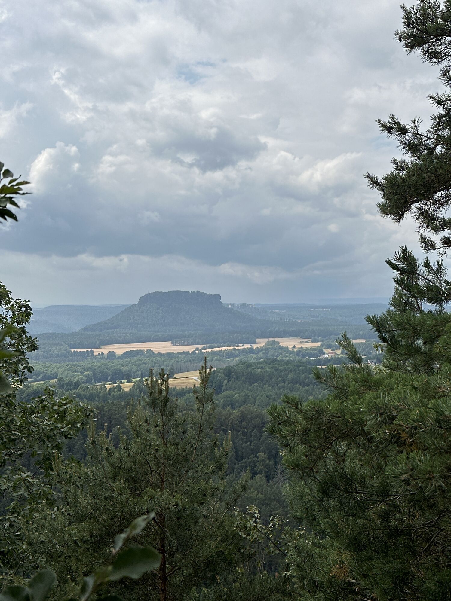
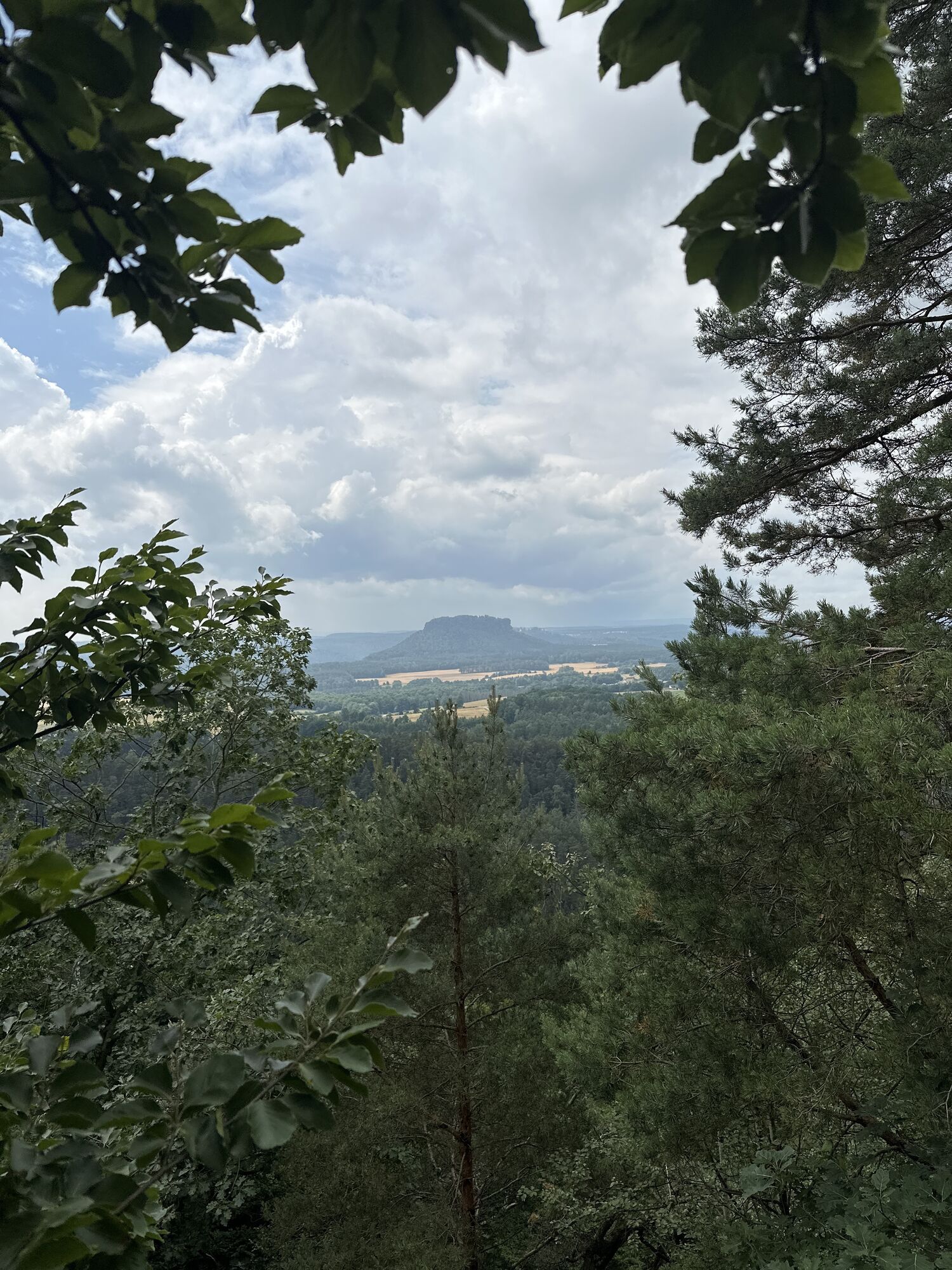
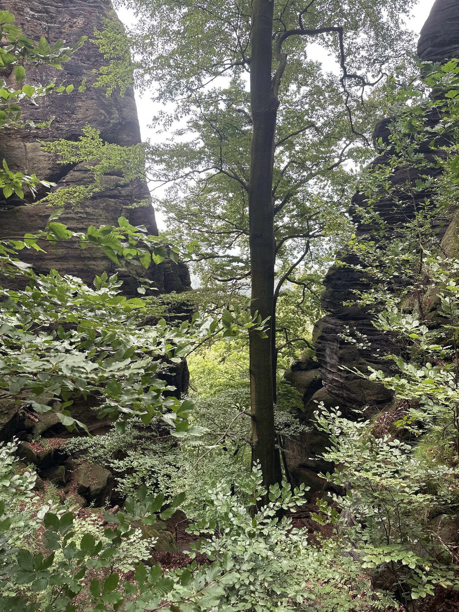
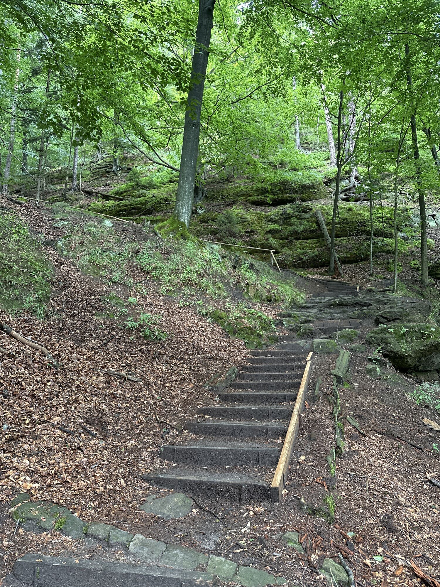
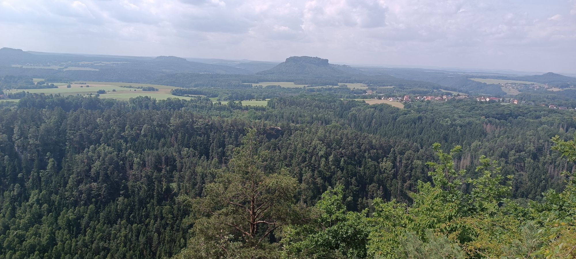


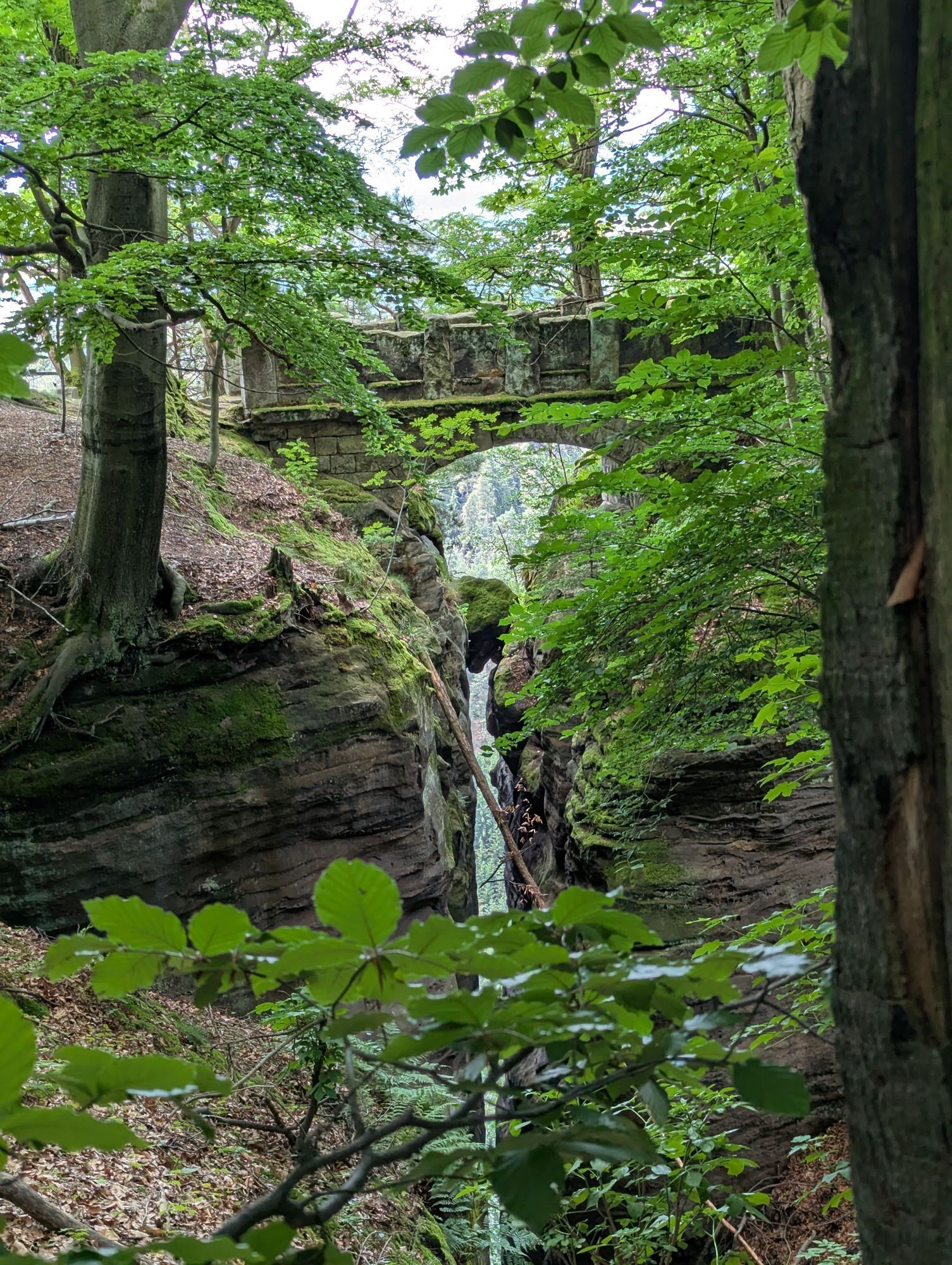
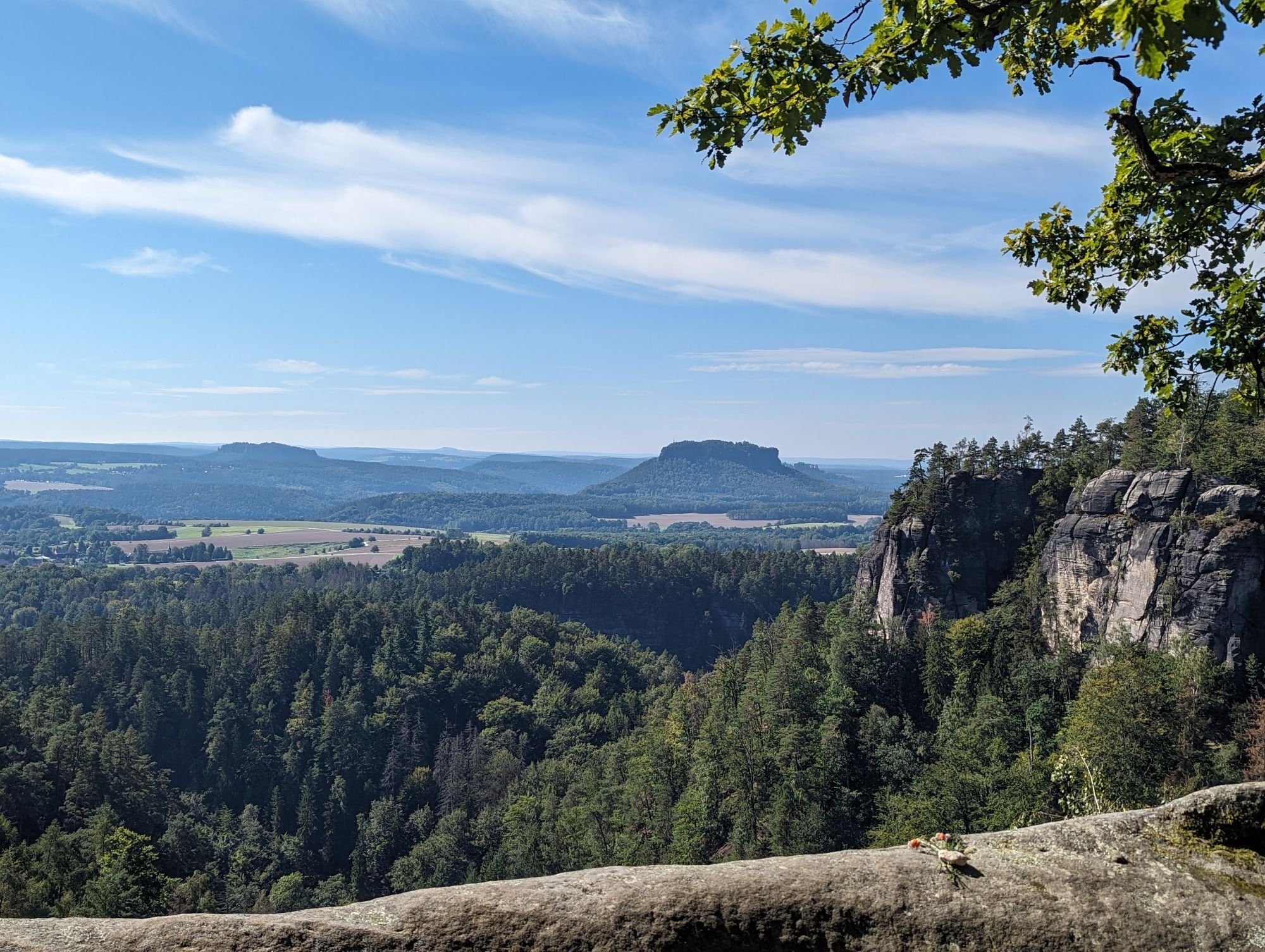
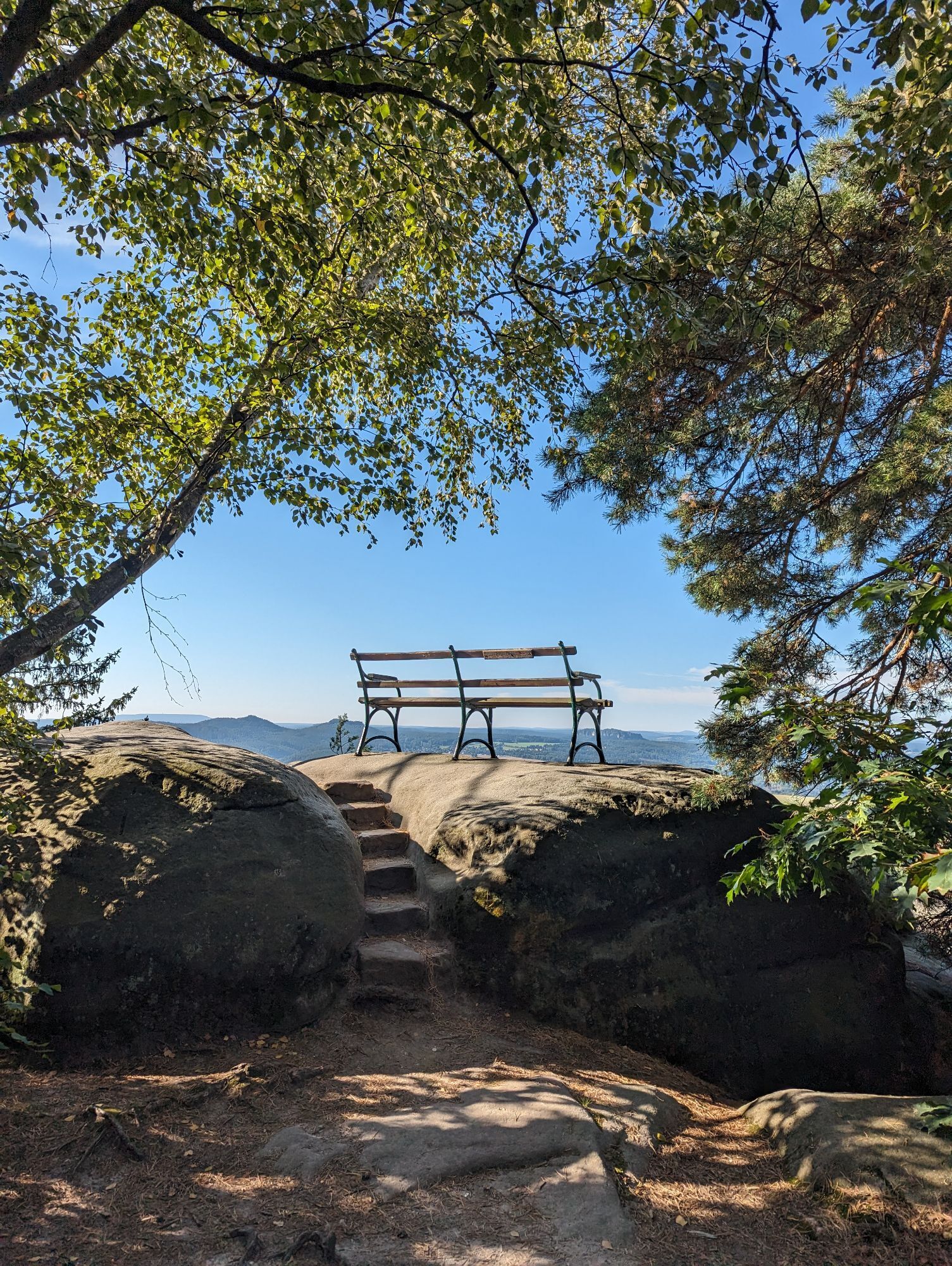
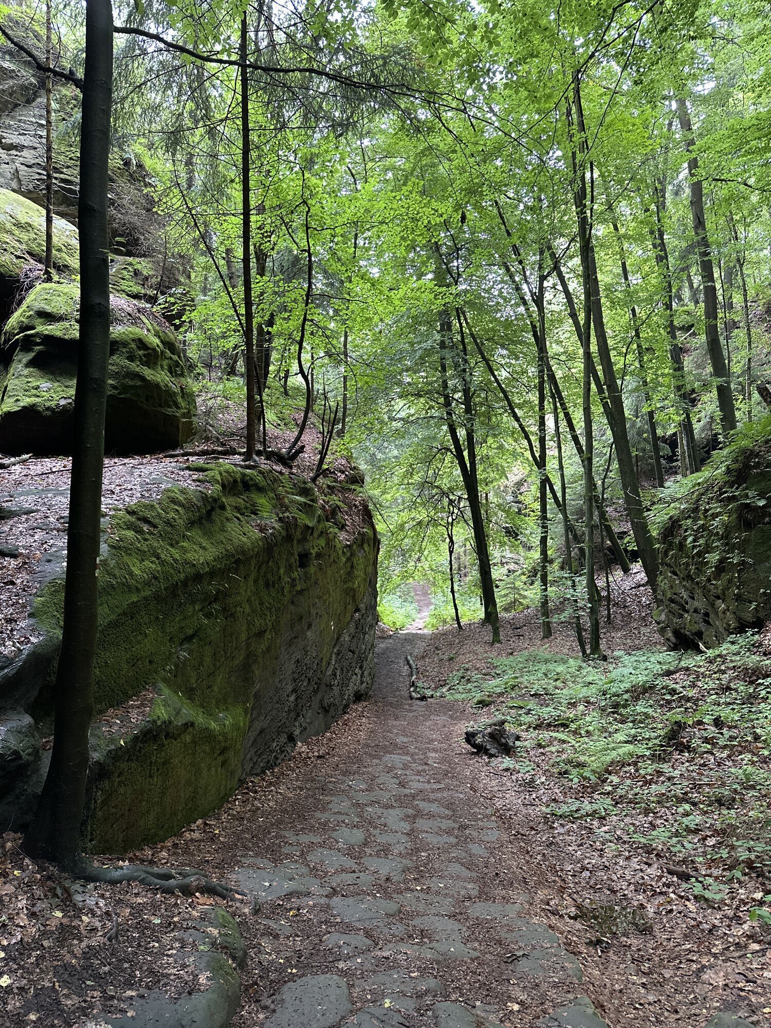
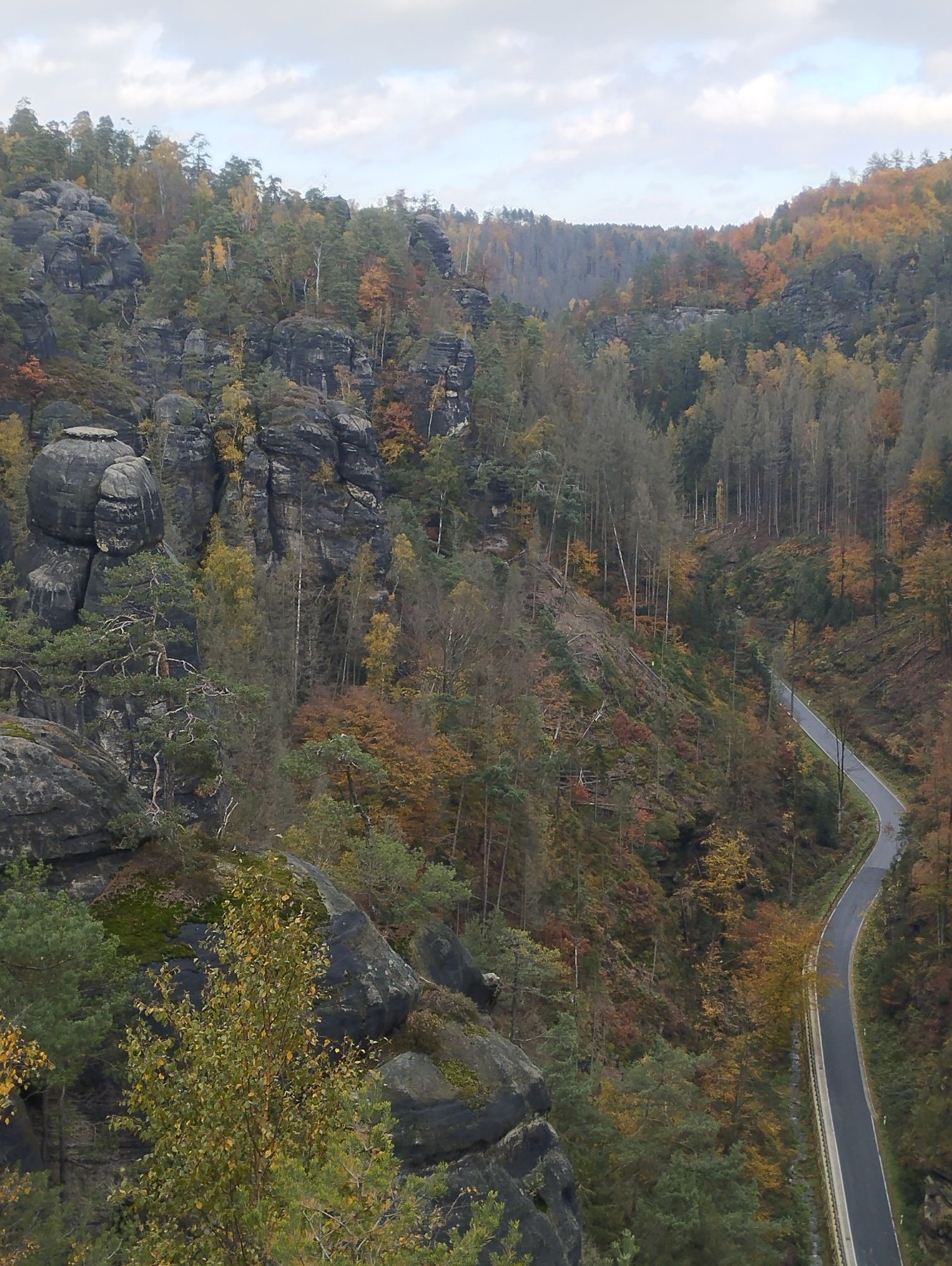
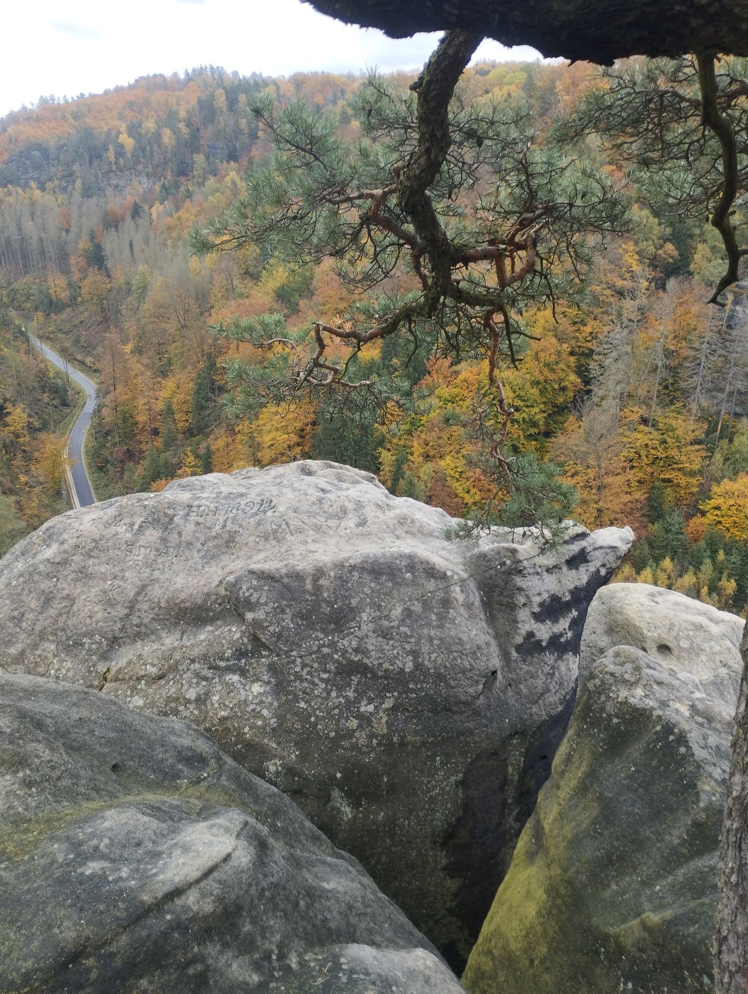
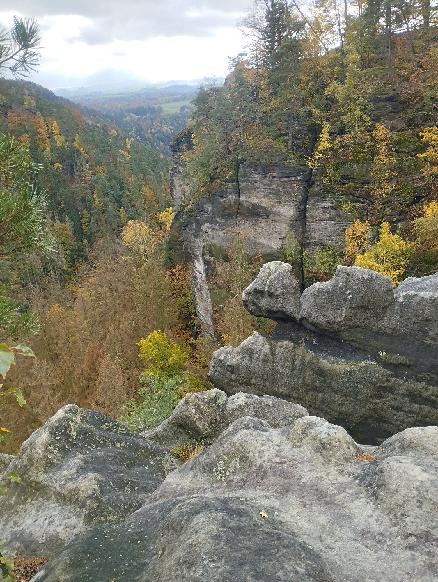
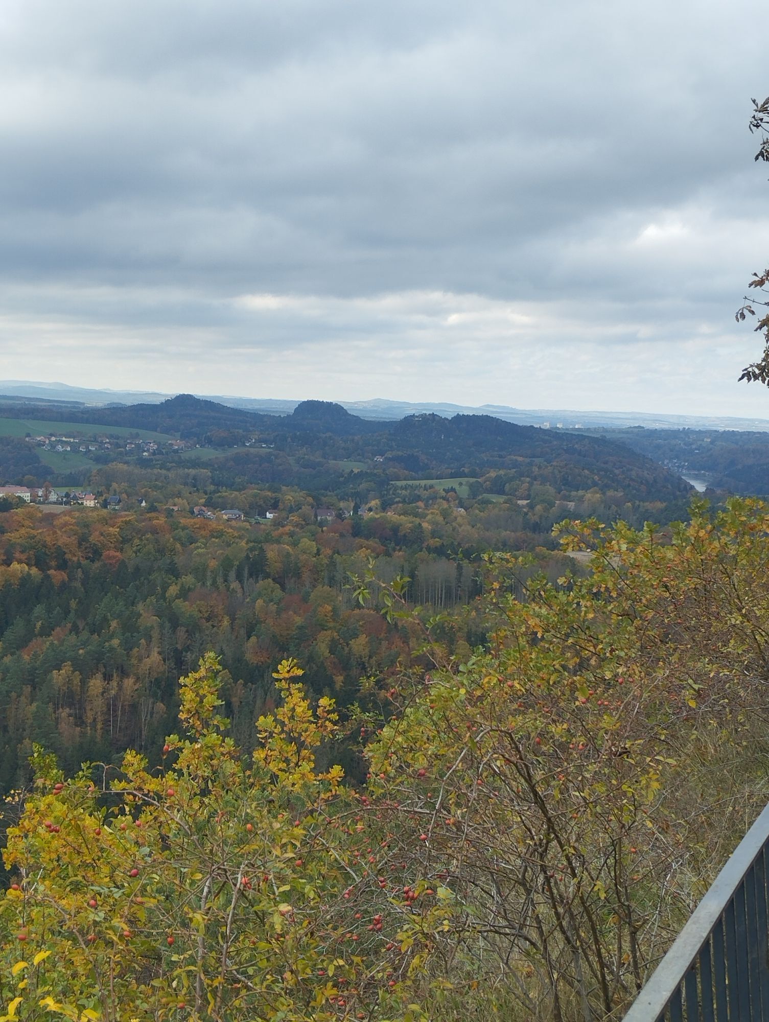
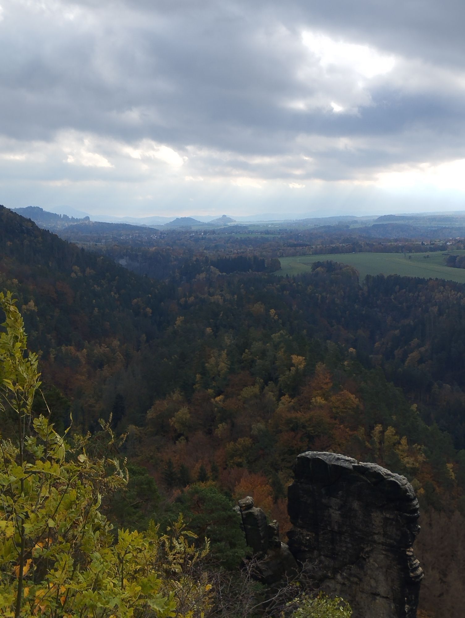
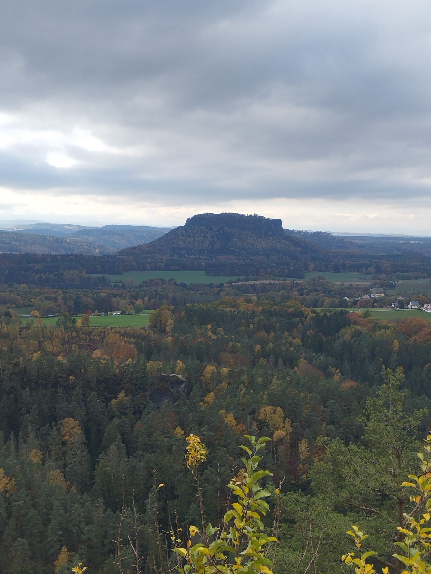
Hohnstein - Bärengarten - Halbenweg - Räumichtweg - Brandaussicht - Tiefer Grund - Dorfgrund - Waitzdorf - Waitzdorfer Rundweg - Mühlweg - Kohlichtgraben - Kohlmühle - Sebnitztal - Schwarzbachmündung -...
Hohnstein - Bärengarten - Halbenweg - Räumichtweg - Brandaussicht - Tiefer Grund - Dorfgrund - Waitzdorf - Waitzdorfer Rundweg - Mühlweg - Kohlichtgraben - Kohlmühle - Sebnitztal - Schwarzbachmündung - Mühlweg bis - Altendorf
GPS data updated 2021

GPS data updated 2021
Order here: Malerweg-Shop
Sturdy shoes required
Detailed stage descriptions: https://malerweg.link/gps Attention detours: https://malerweg.link/status
from Berlin: via the A13 then A4 in the direction of Görlitz via the exits Ottendorf Okrilla or Burkau in each case via Neustadt Sachsen.
Departure:
U28 National Park Railway (Rumburk - DÄÄín - Rumburk), stop: Goßdorf- Kohlmühle train station.Bus line 260 (Sebnitz - Bad Schandau), bus stop: Altendorf ErbgerichtParking lot - "Hohe Eiche" or "Alter Bahnhof".
Webcams der Tour
-
Krippen - Hönel Hof
-
Burgstadt Hohnstein
-
Burgstadt Hohnstein
-
Burgstadt Hohnstein
-
Burgstadt Hohnstein
-
Nationalparkbahnhof
-
Aussichtsturm Rathmannsdorf
-
Aussichtsturm Rathmannsdorf
-
Aussichtsturm Rathmannsdorf
-
Aussichtsturm Rathmannsdorf
-
Aussichtsturm Rathmannsdorf
-
Oberrathen
-
Oberrathen
-
Oberrathen
-
Oberrathen
-
Oberrathen
-
Oberrathen
-
Burg Altrathen
-
Burg Altrathen
-
Burg Altrathen
-
Burg Altrathen
-
Burg Altrathen
-
Burgstadt Hohnstein
Hol dir den Einblick
Immer live vor Ort mit über 9.500 Webcams. In der Touren App von bergfex siehst du als Pro-User jetzt zu vielen Touren die passenden Webcams. So kannst du dir direkt die aktuellen Bedingungen ansehen.
Aktivitäten entlang der Tour

Beliebte Touren in der Nähe
-
4,7
Rathen / Hockstein / Bastei / Rathen
mittelWanderung 14,4 km -
4,6
Von Rathewalde zur Bastei
Wanderung 12,8 km -
4,7
Rundwanderung Bastei Schwendenlöcher -Amselsee
leichtWanderung 6,21 km -
4,6
Kuhstall, Himmelsleiter und Schneiderloch
mittelWanderung 4,06 km -
4,7
Pfaffenstein Sachsen/Deutschland
mittelWanderung 3,89 km -
5,0
Basteibrücke
leichtWanderung 2,31 km -
5,0
Lilienstein
leichtWanderung 3,75 km -
5,0
Prebischtor
mittelWanderung 18,9 km -
4,4
Kurort Rathen: Große Bastei-Runde
mittelWinterwandern 4,75 km -
4,9
entlang der Schrammsteine, Breite Kluft, Affenwand
mittelWanderung 11,6 km
Wandern & Tracking


Verpasse keine Angebote und Inspirationen für deinen nächsten Urlaub
Deine E-Mail-Adresse wurde in den Verteiler eingetragen.





