




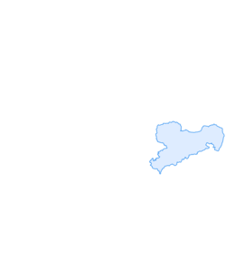

Hike from Königstein over the Lilienstein to Kurort Rathen

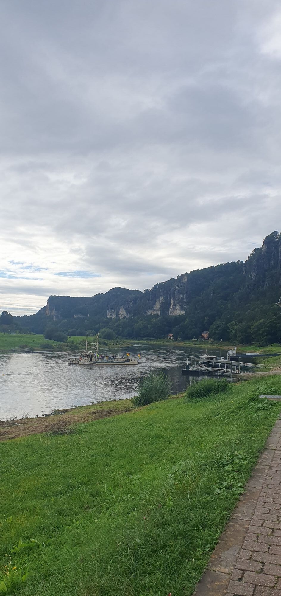
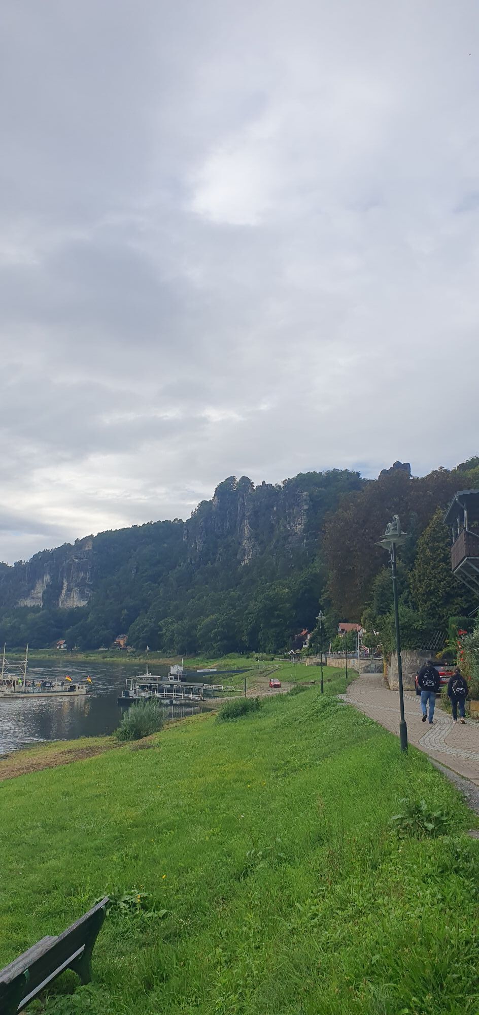
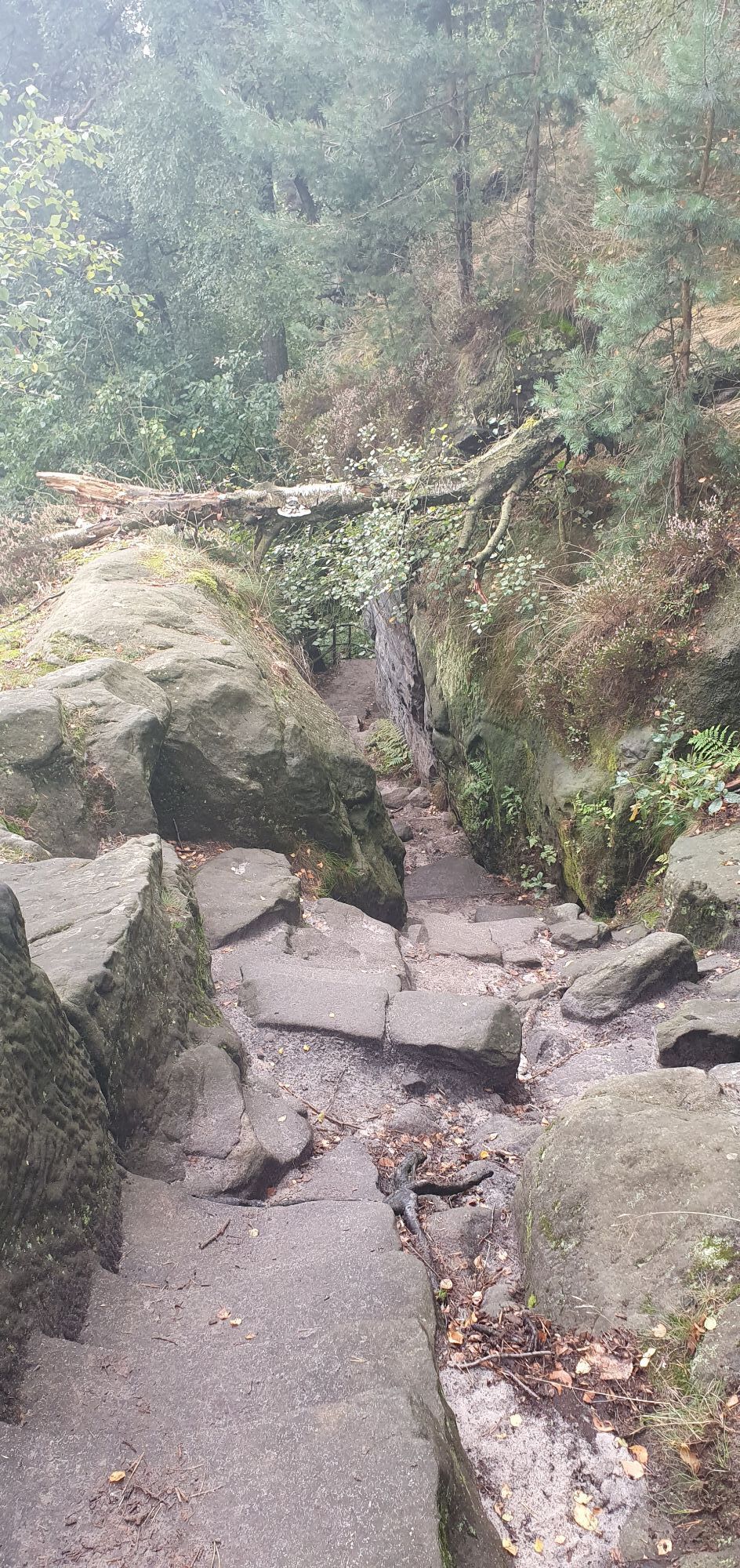
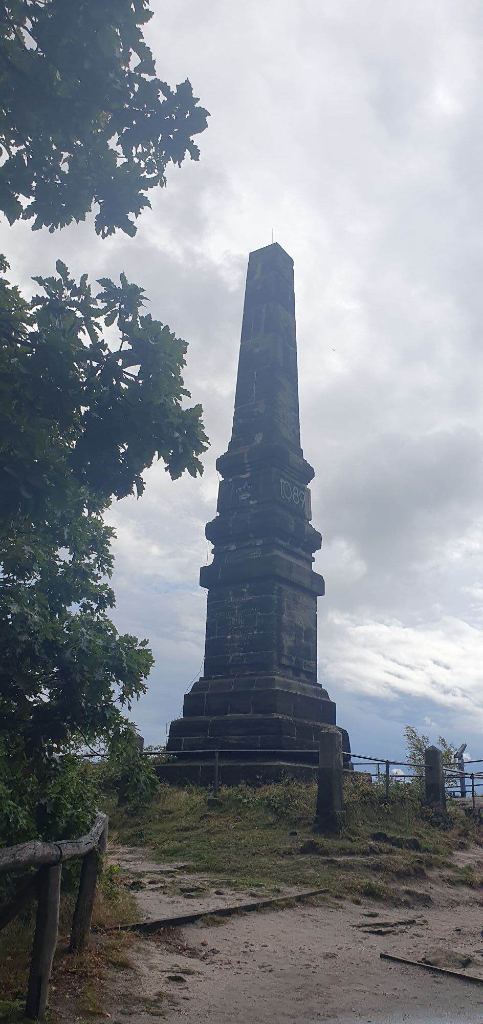
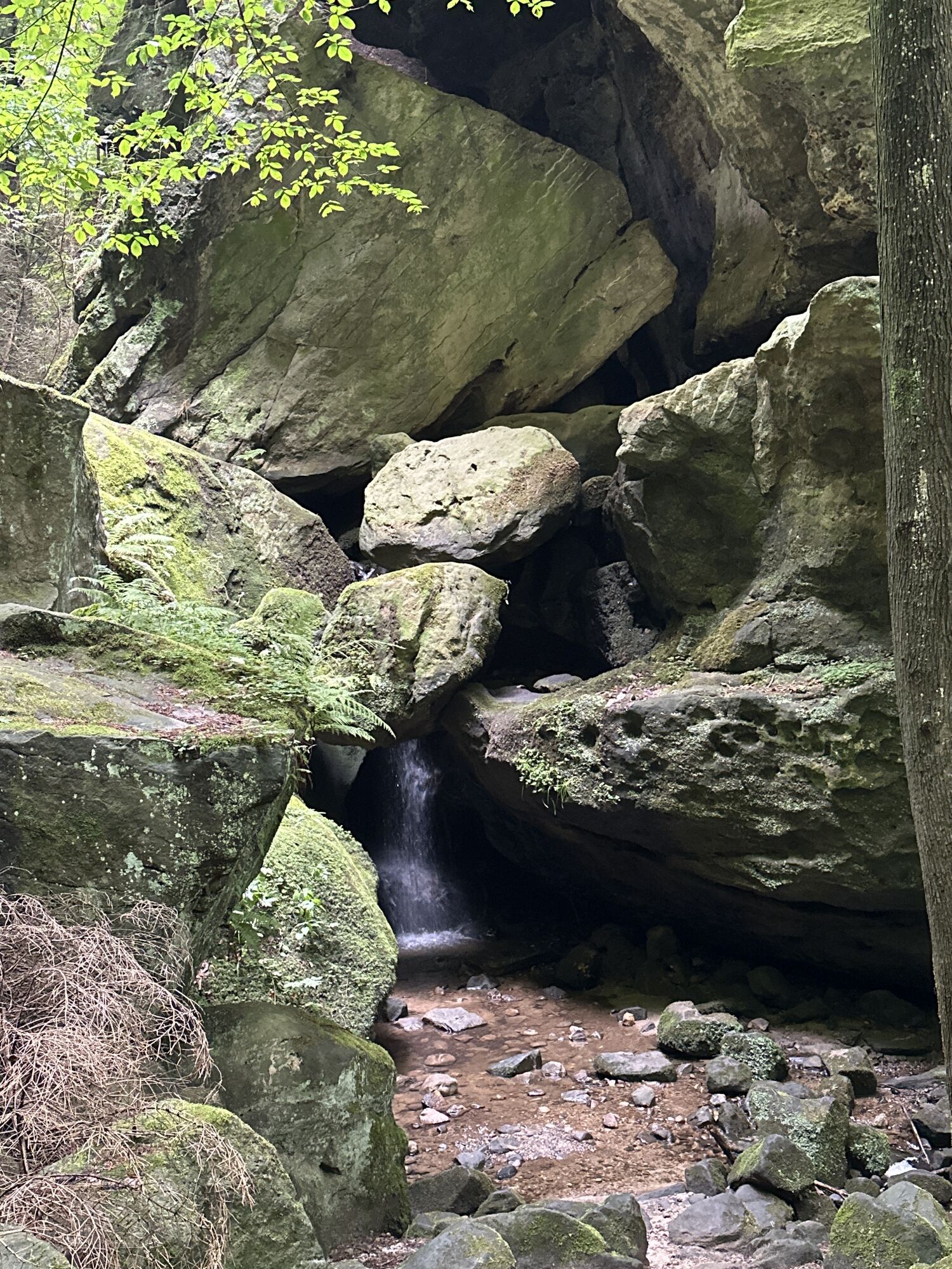
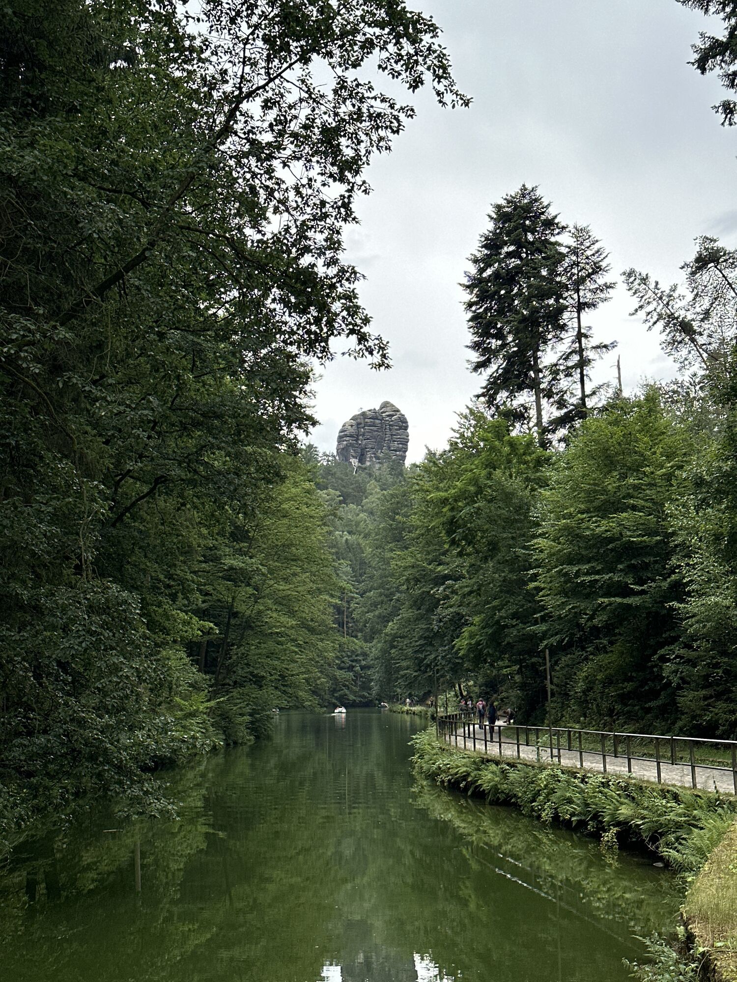
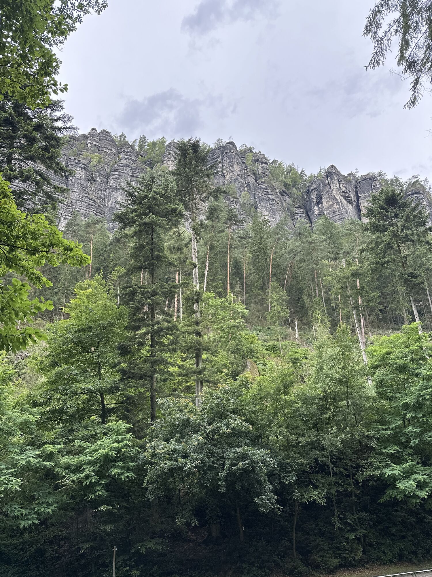
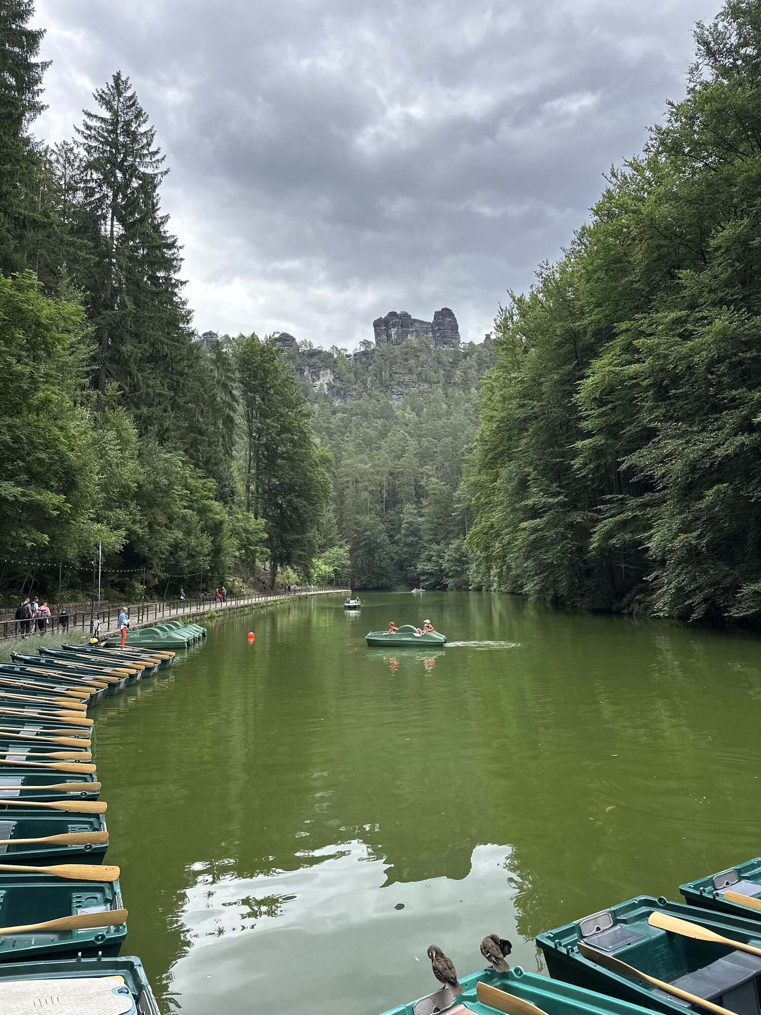
Königstein - Elbfähre - Halbestadt - Ebenheit - Lilienstein - Markierung blauer Strich (Fernwanderweg) - Kurort Rathen - Amselsee - Kurort Rathen Gierseilfähre übersetzen auf andere Elbseite - Bahnhof

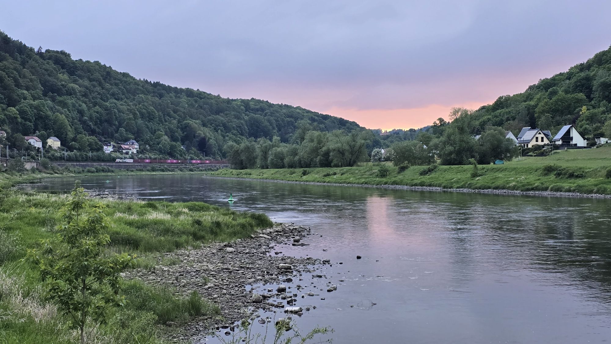
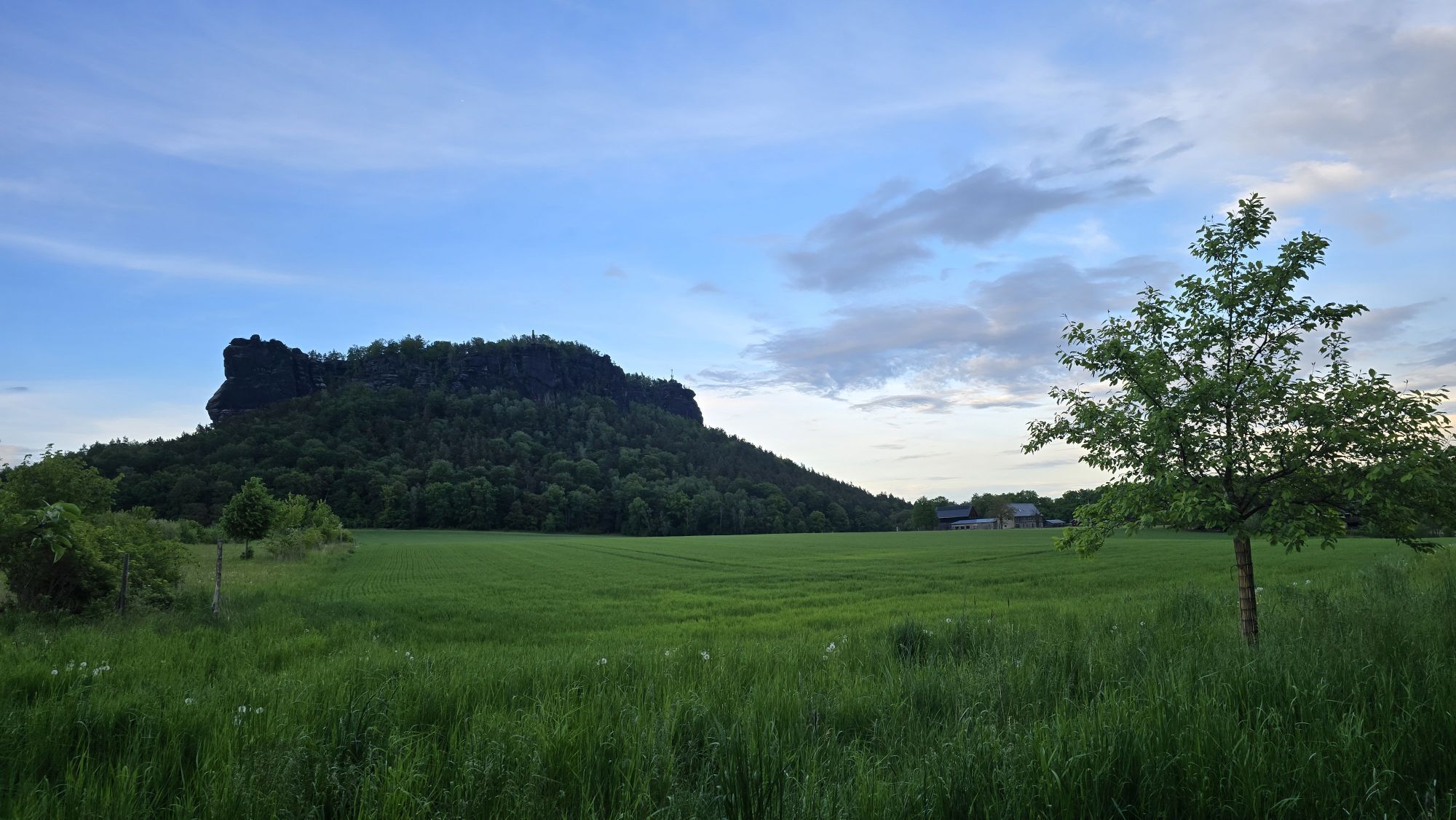
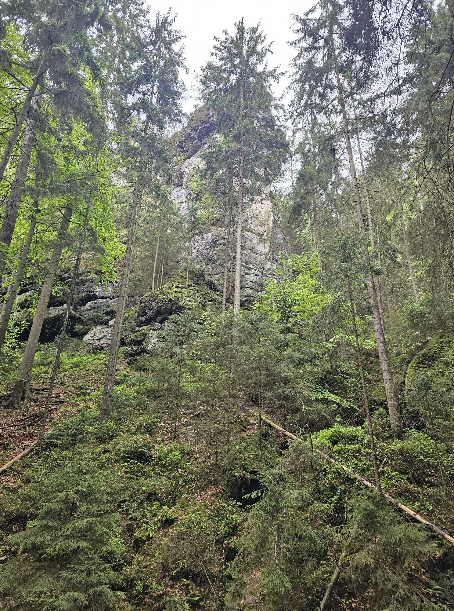
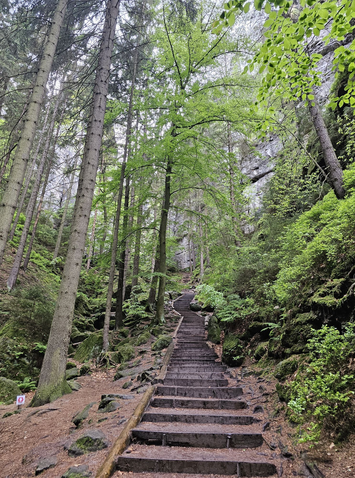
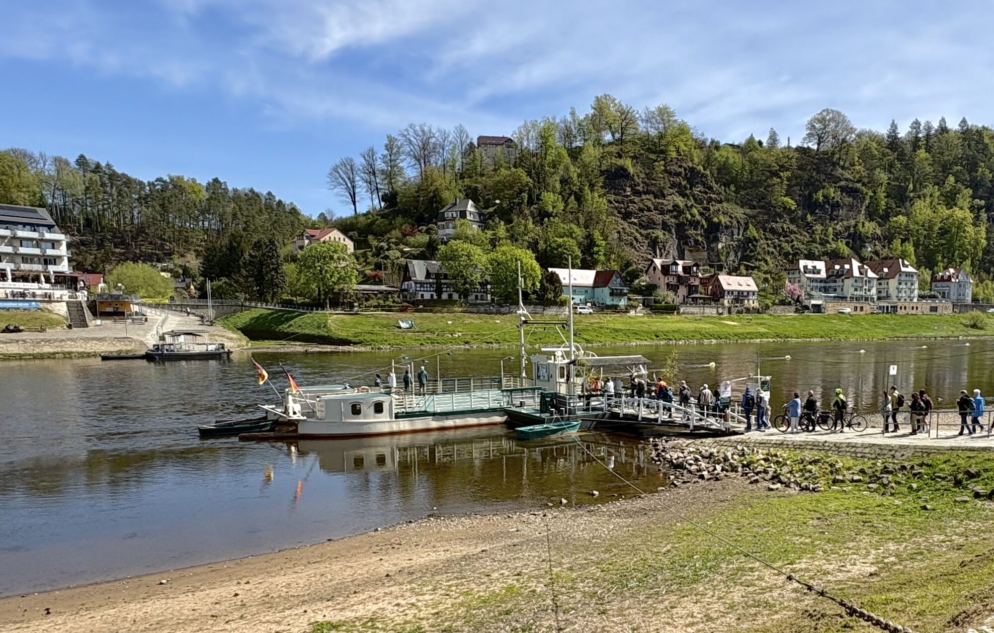
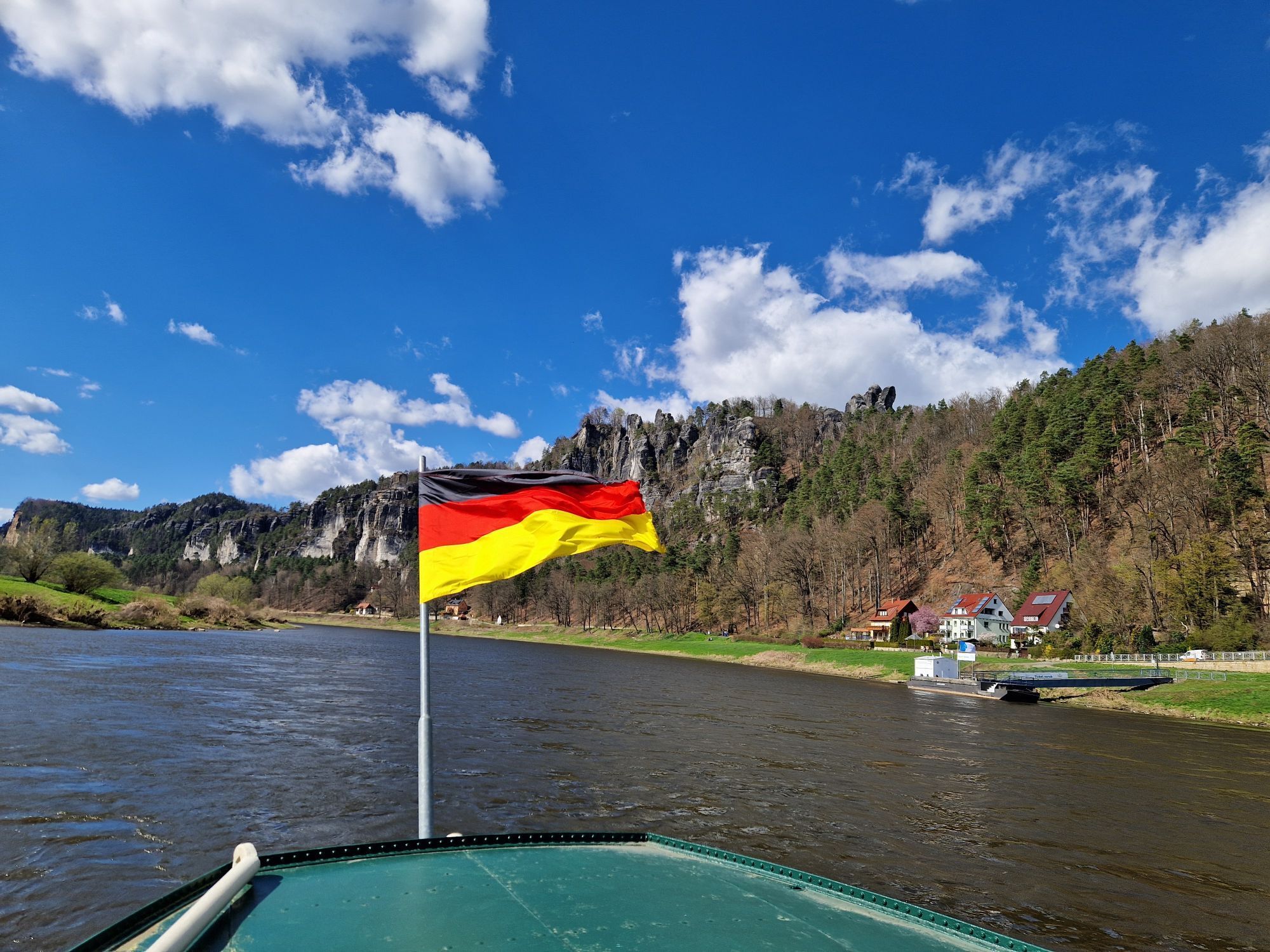
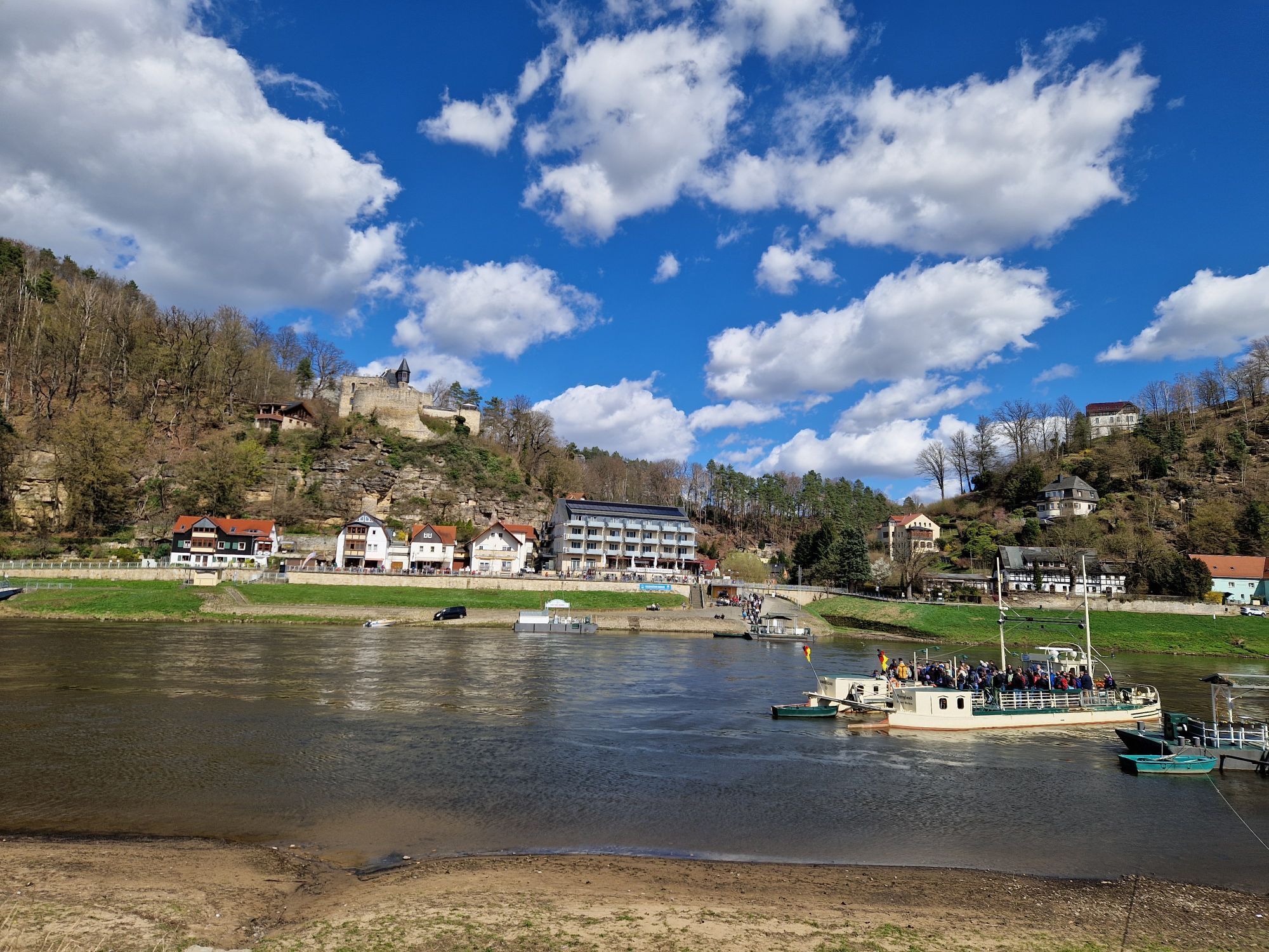
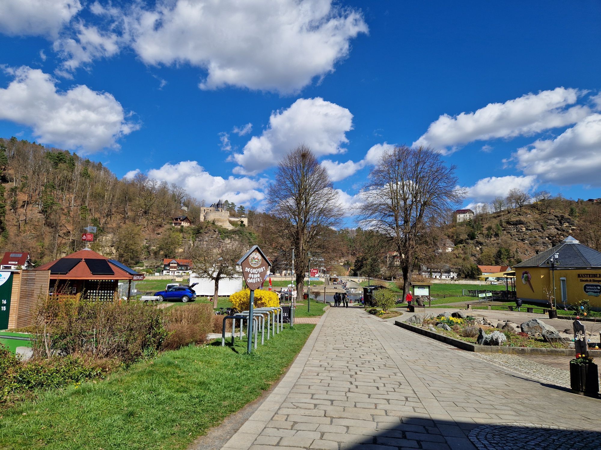
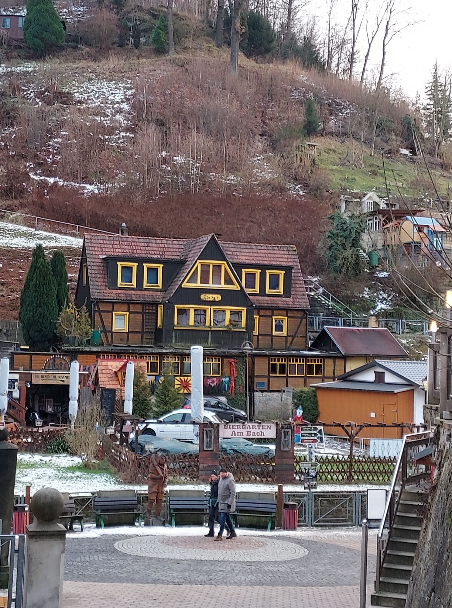
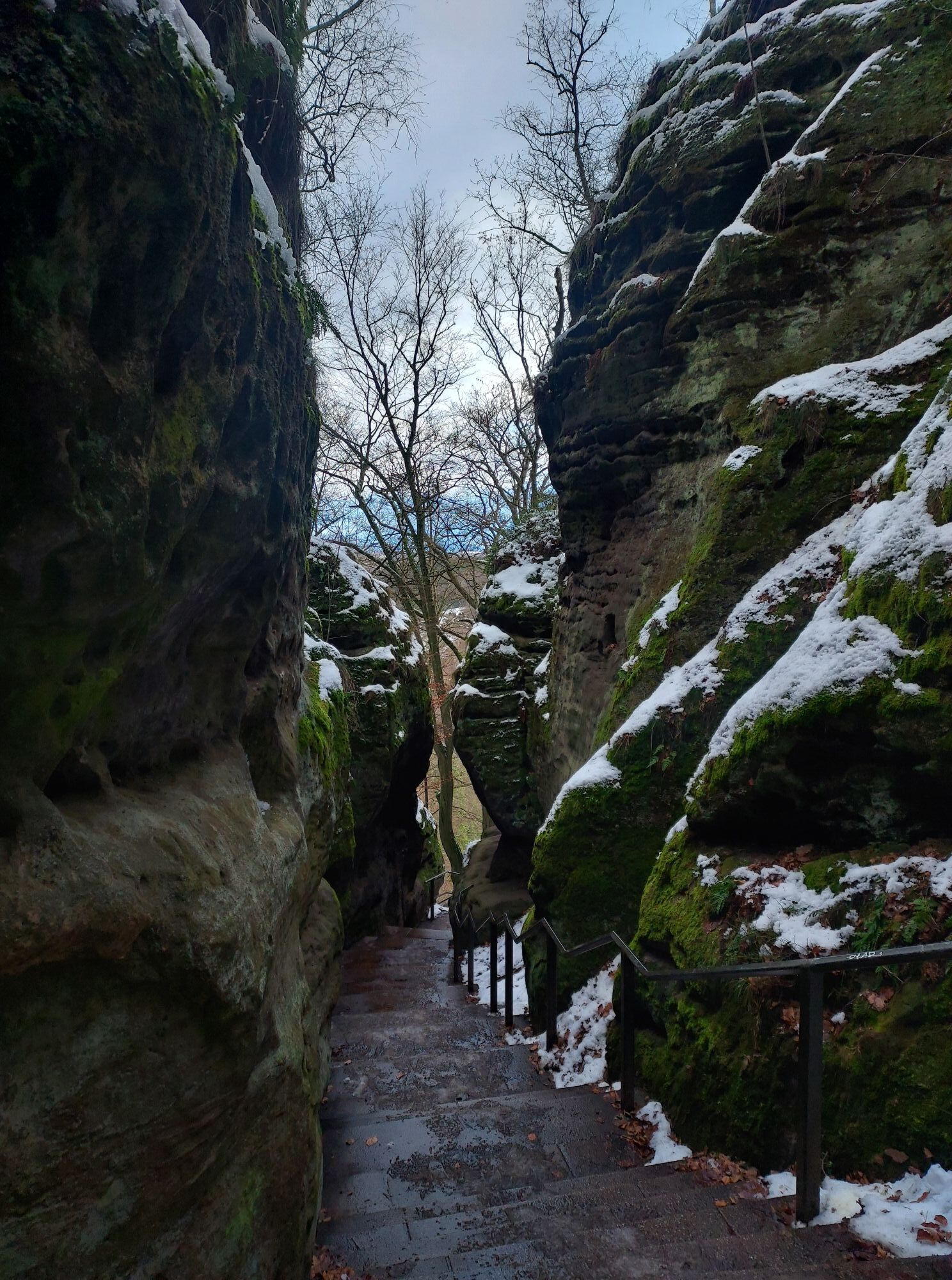
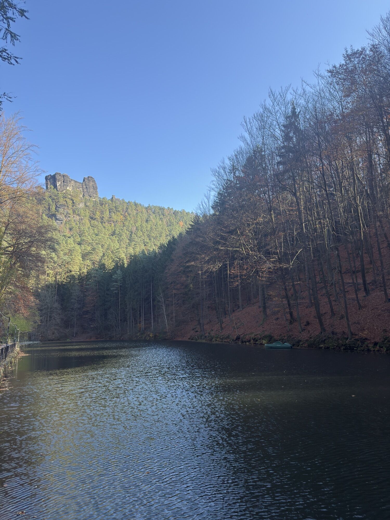
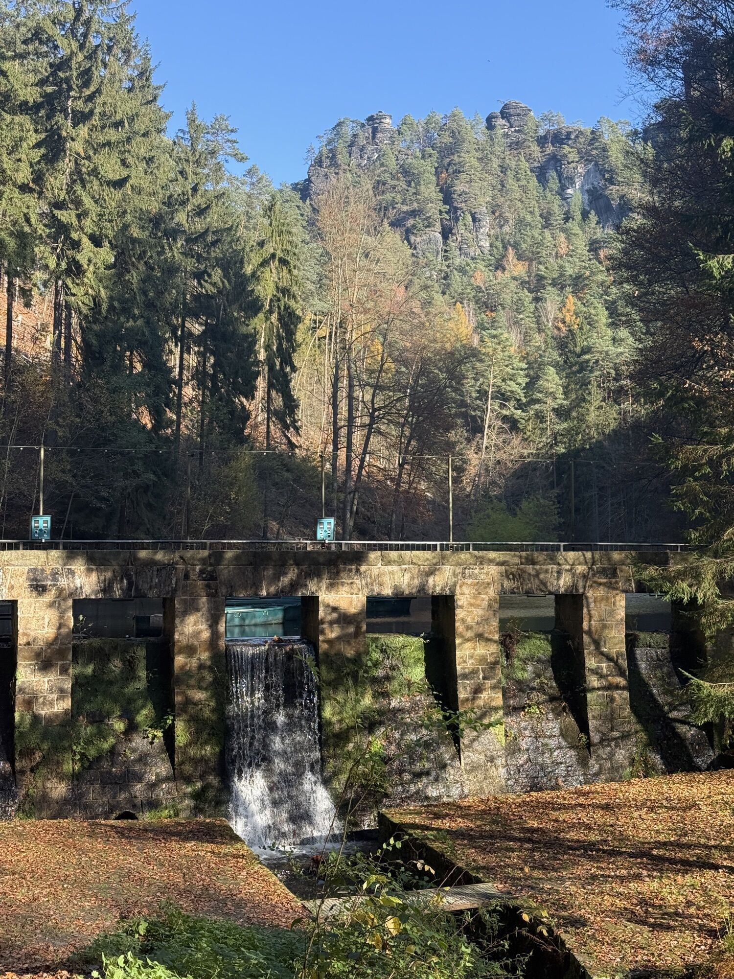
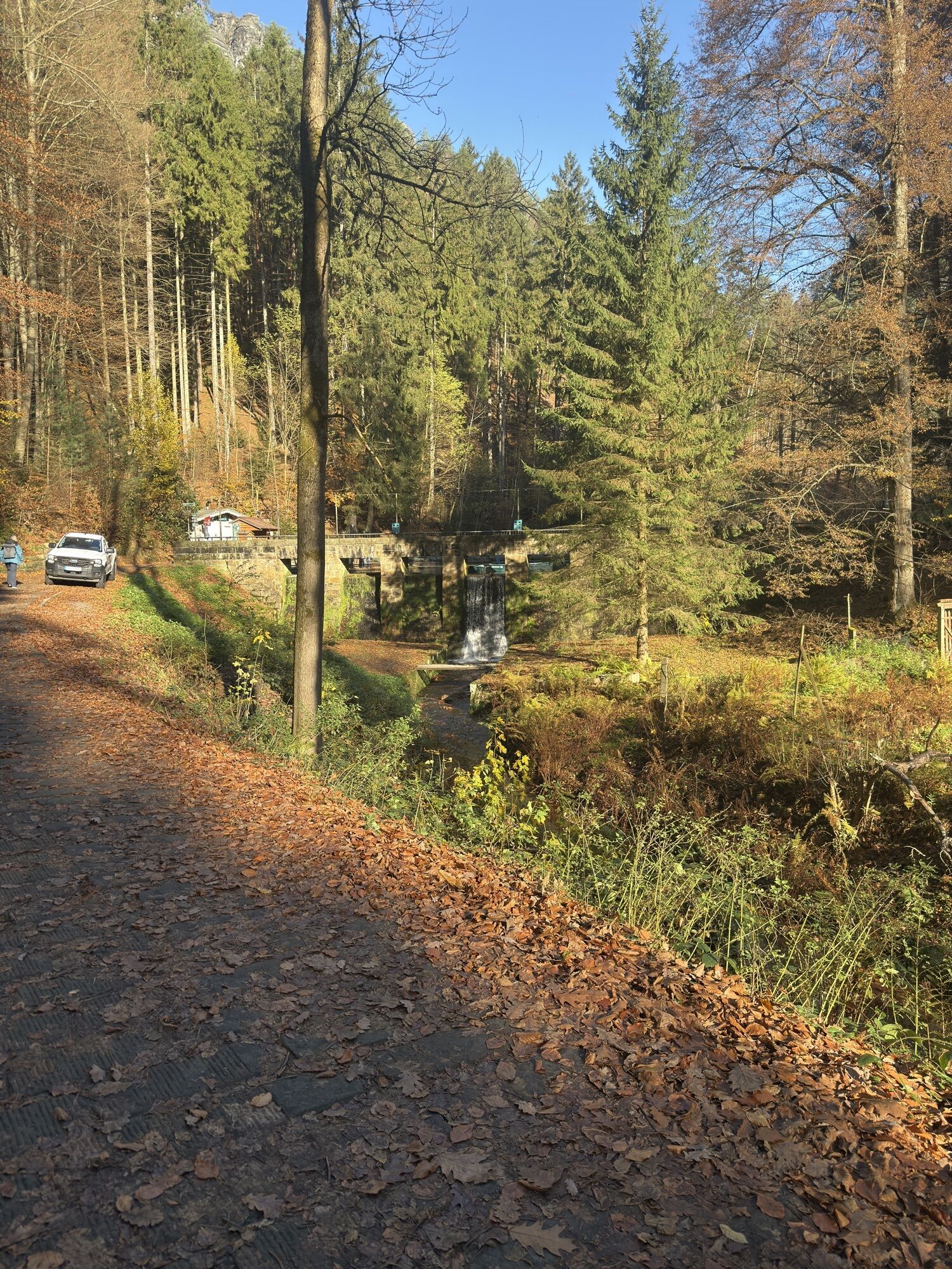
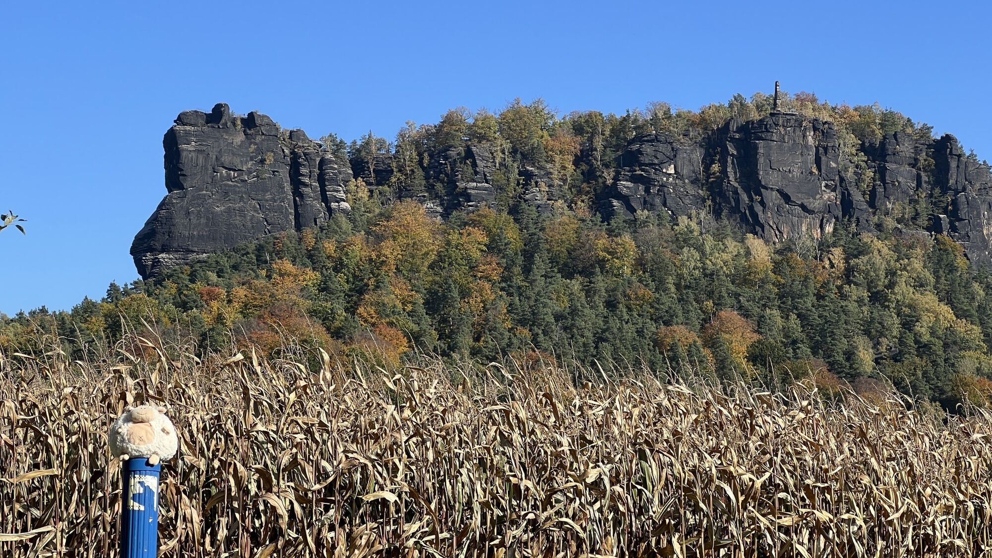
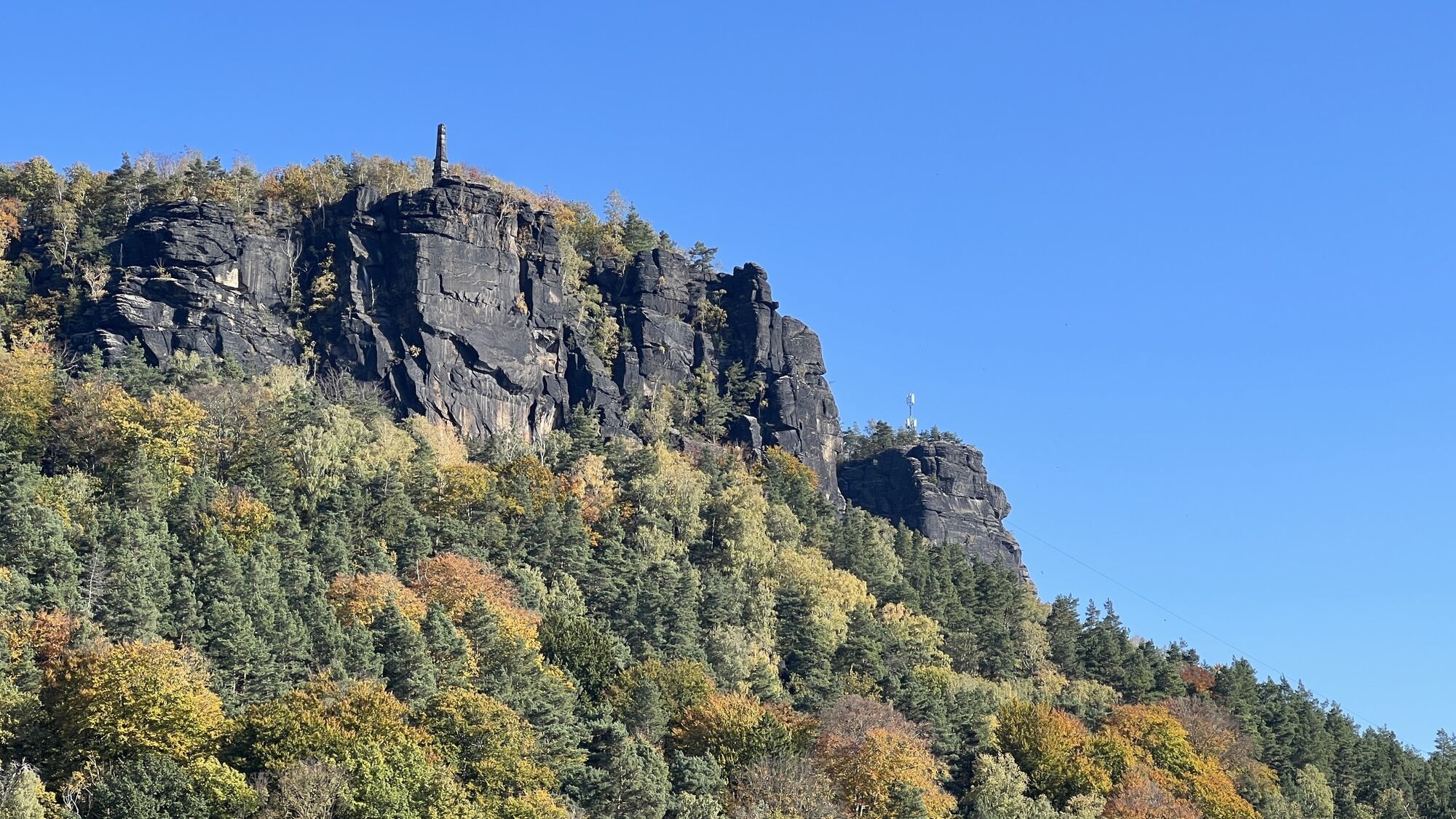
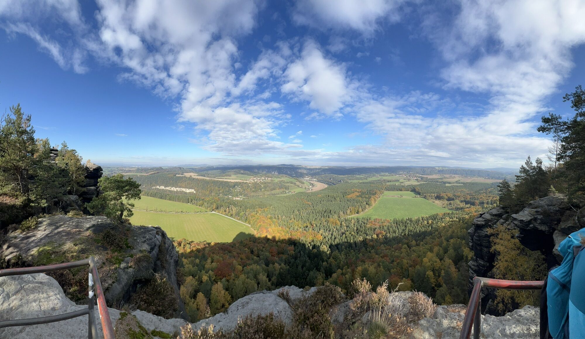
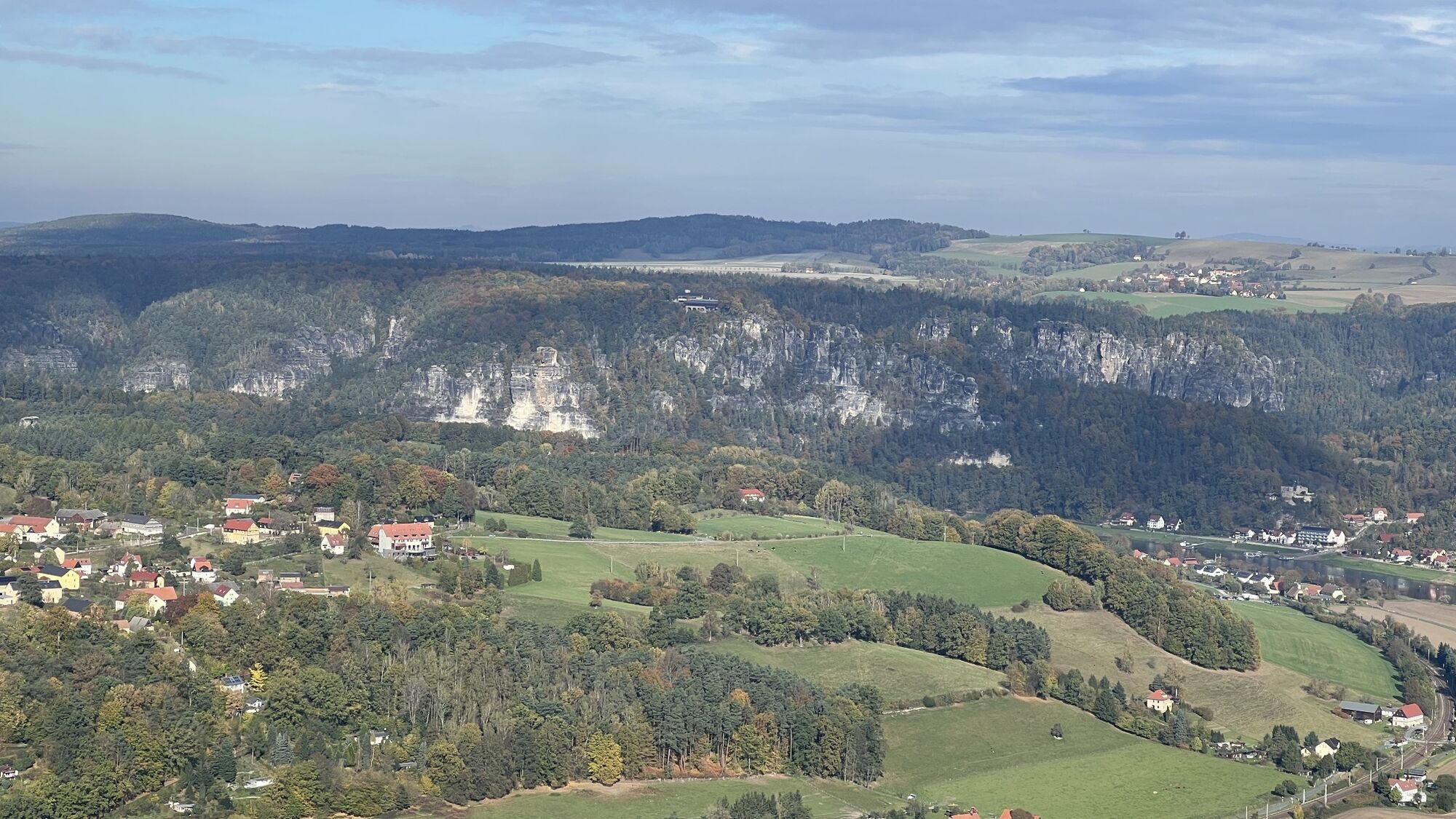
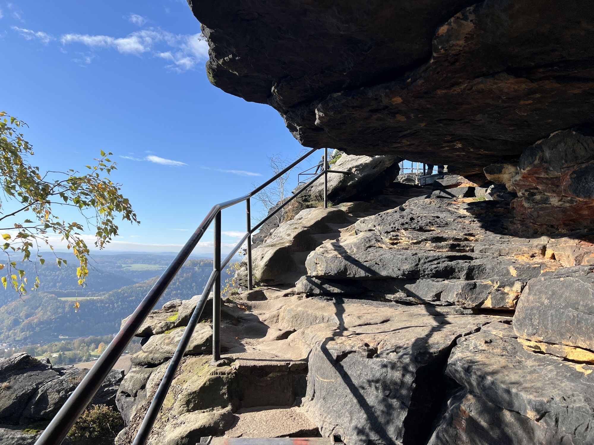
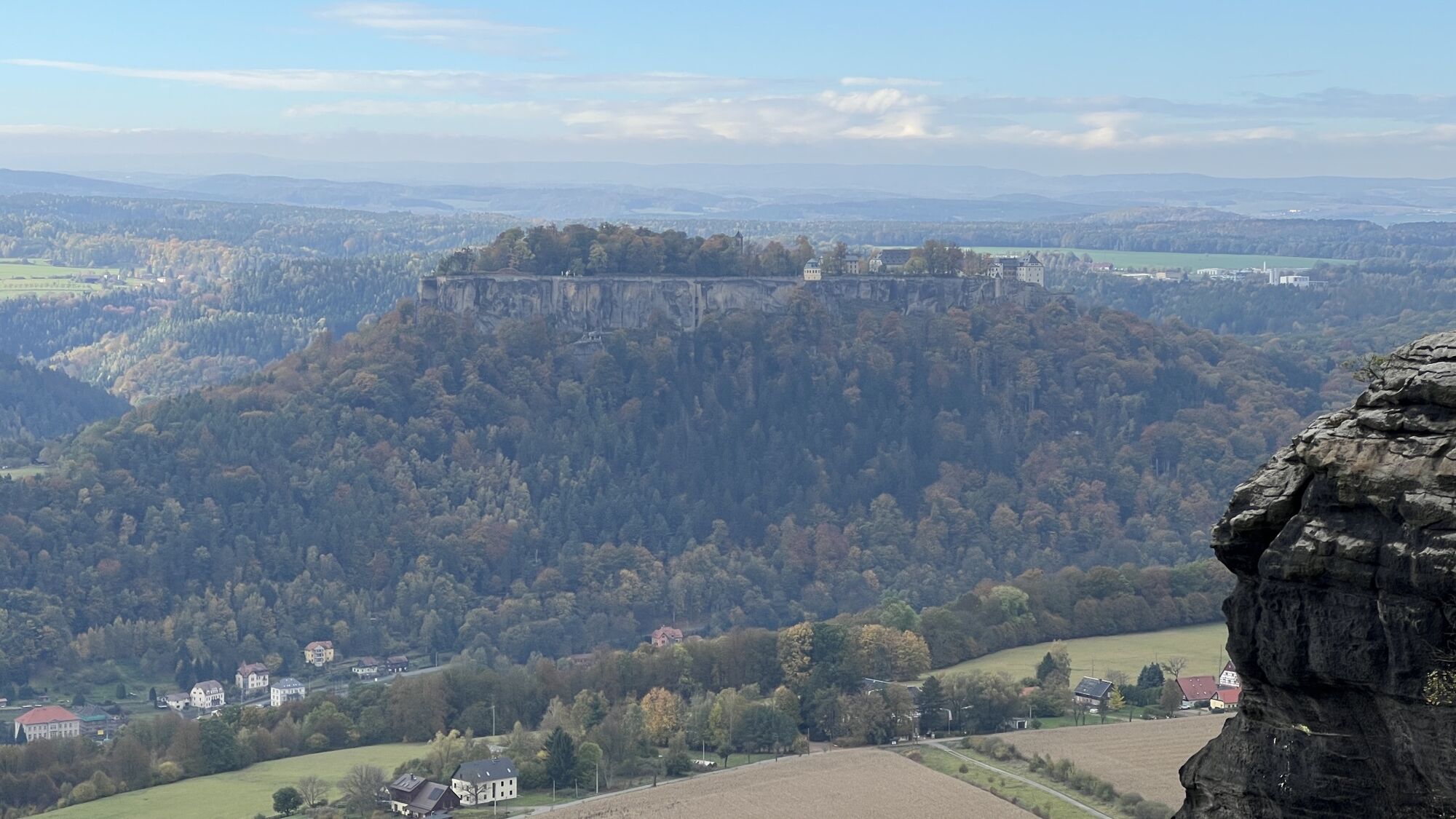
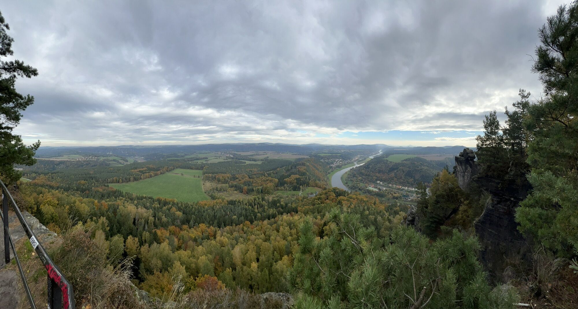
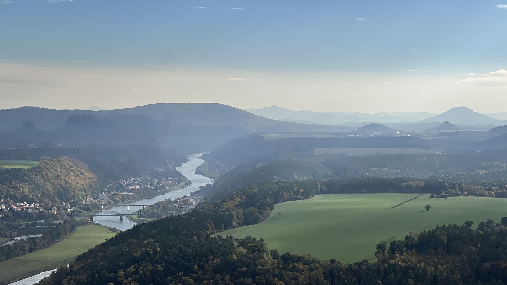
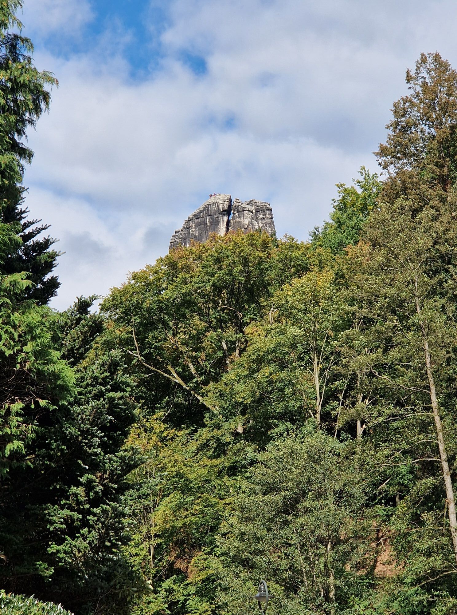
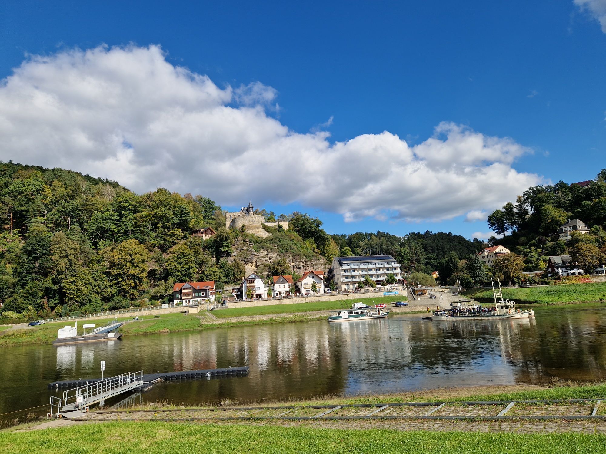
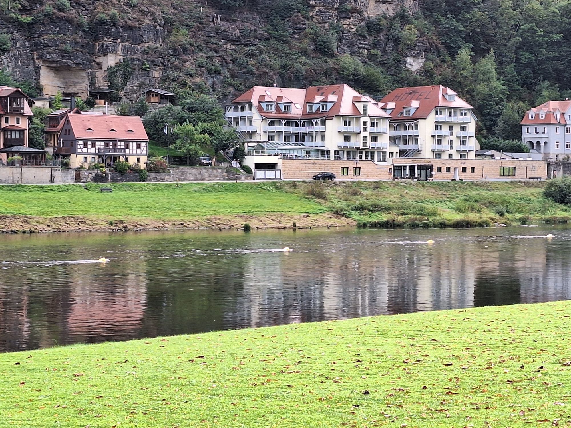
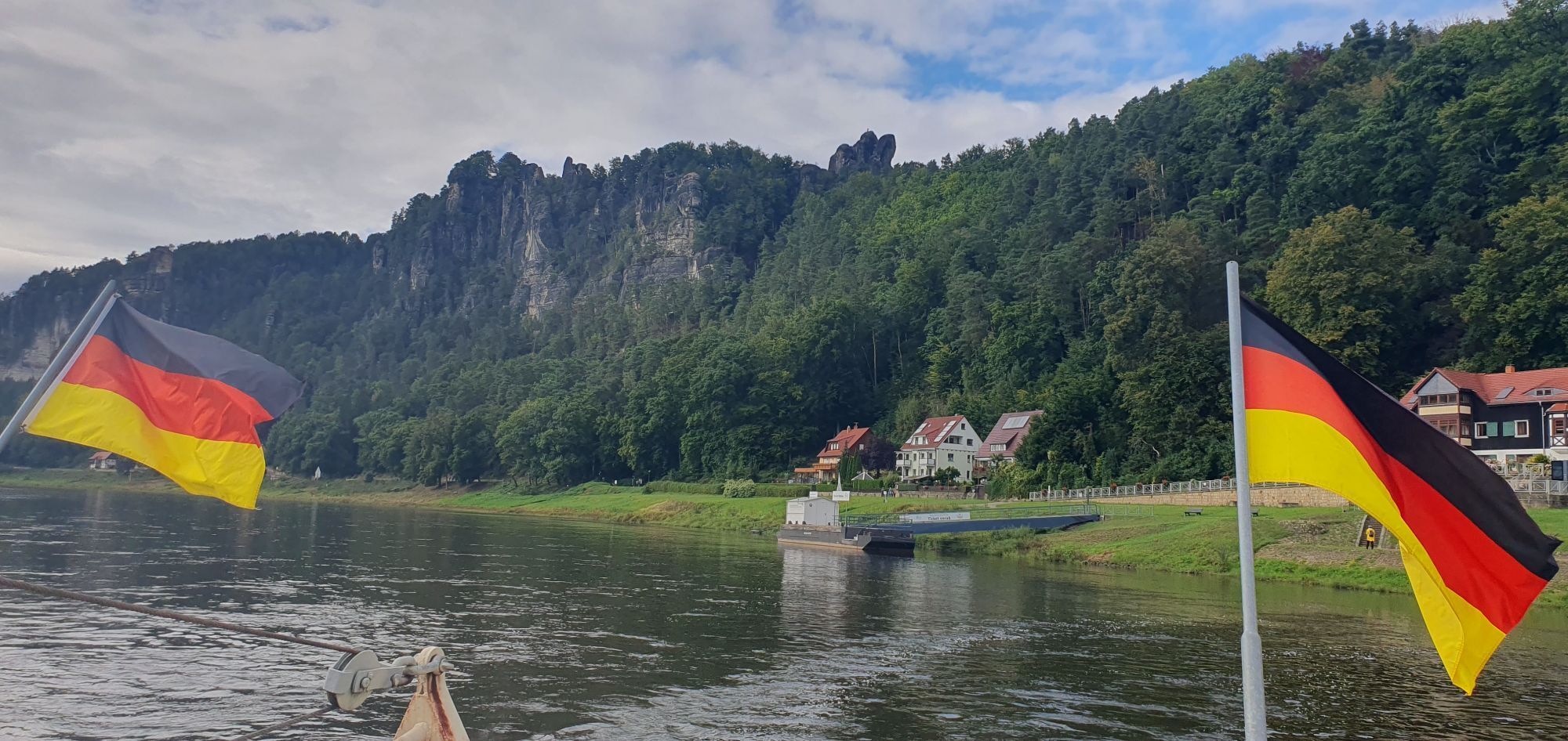
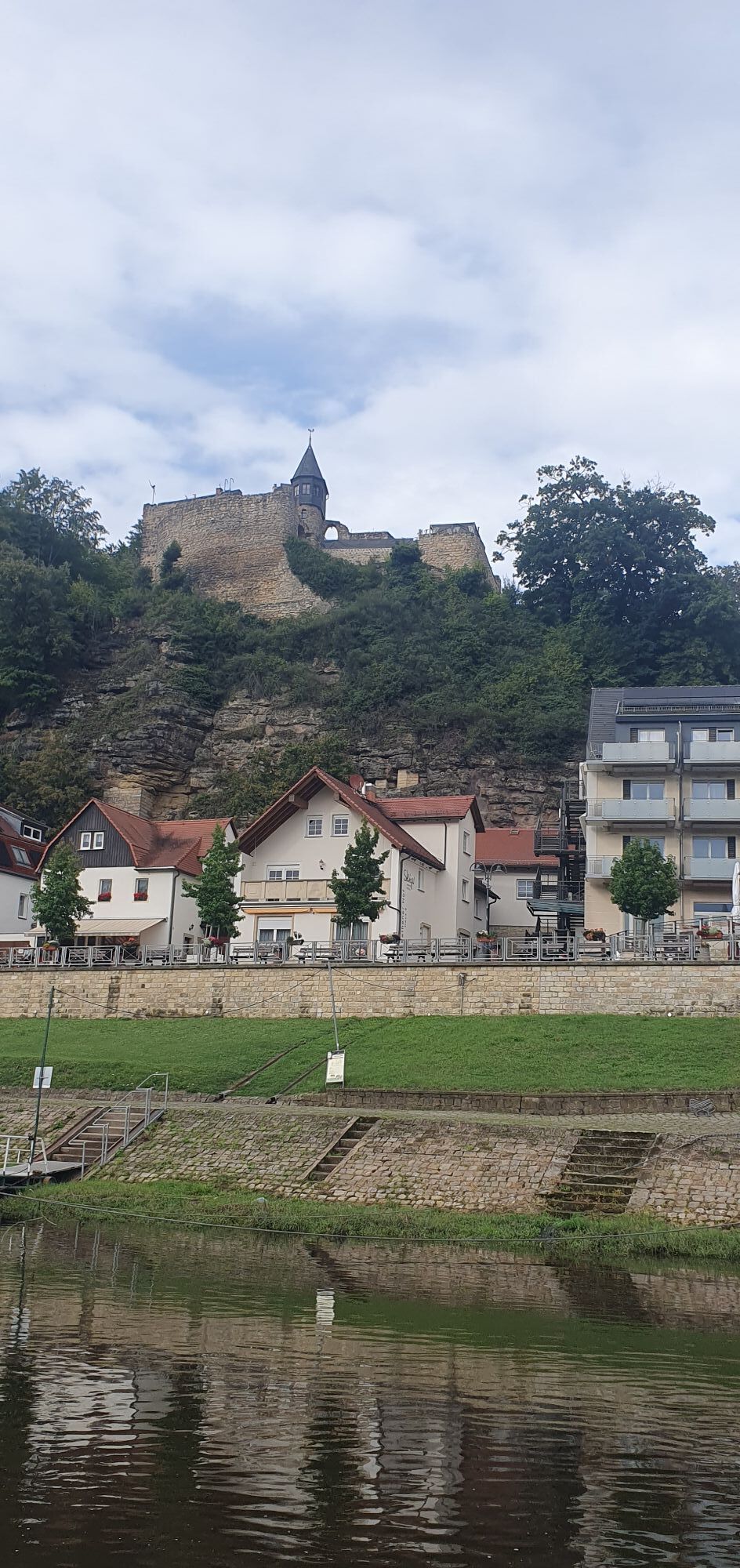
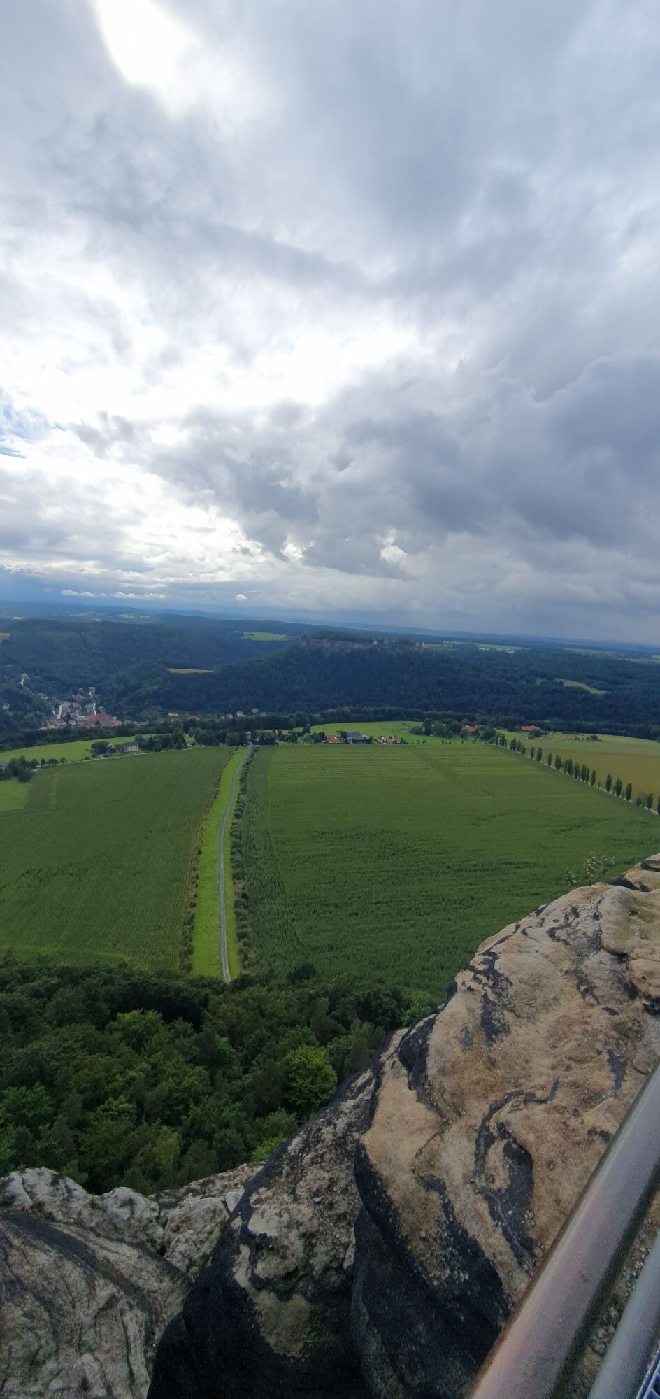
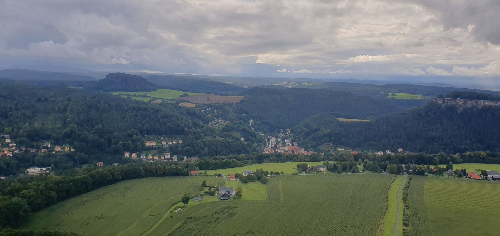
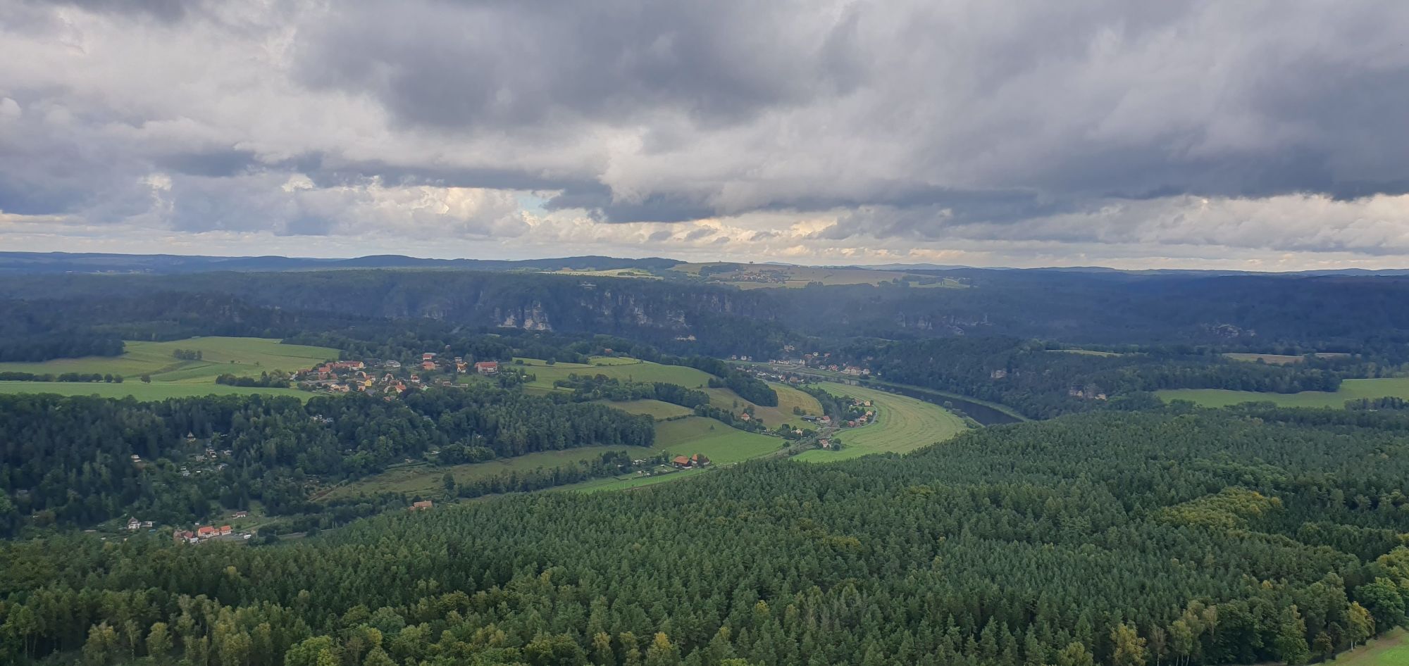
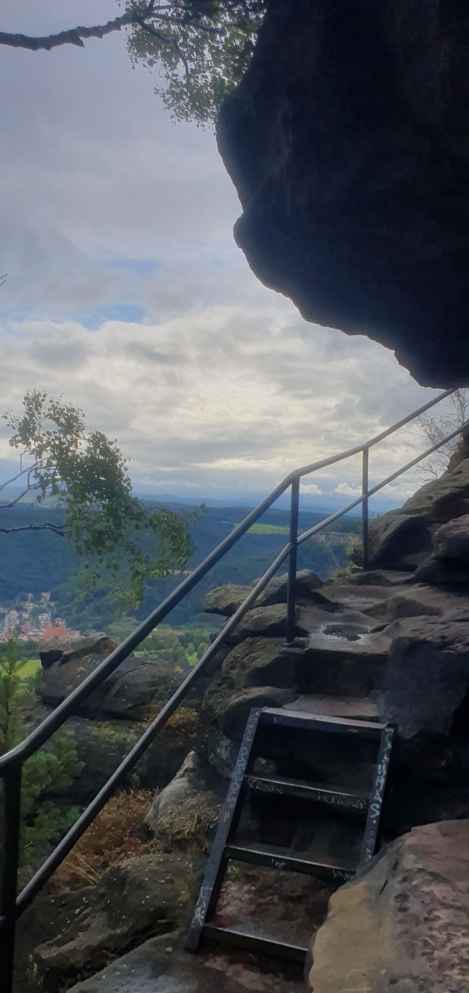
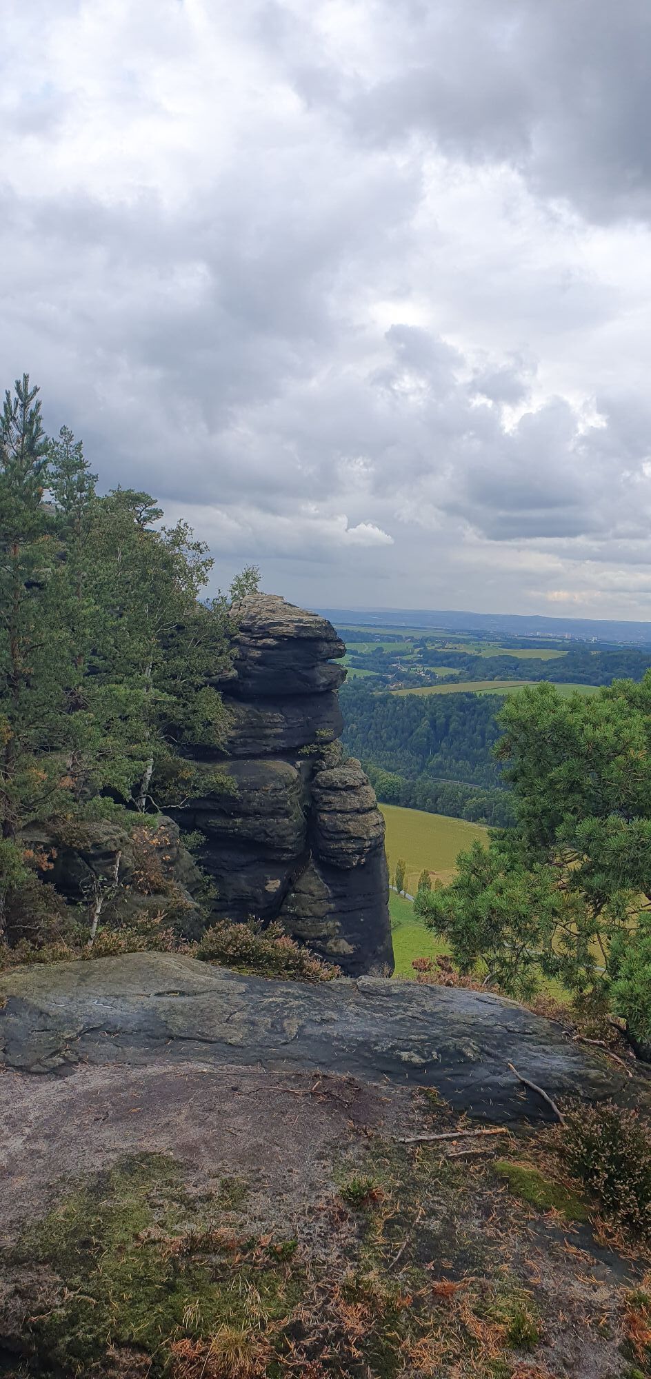
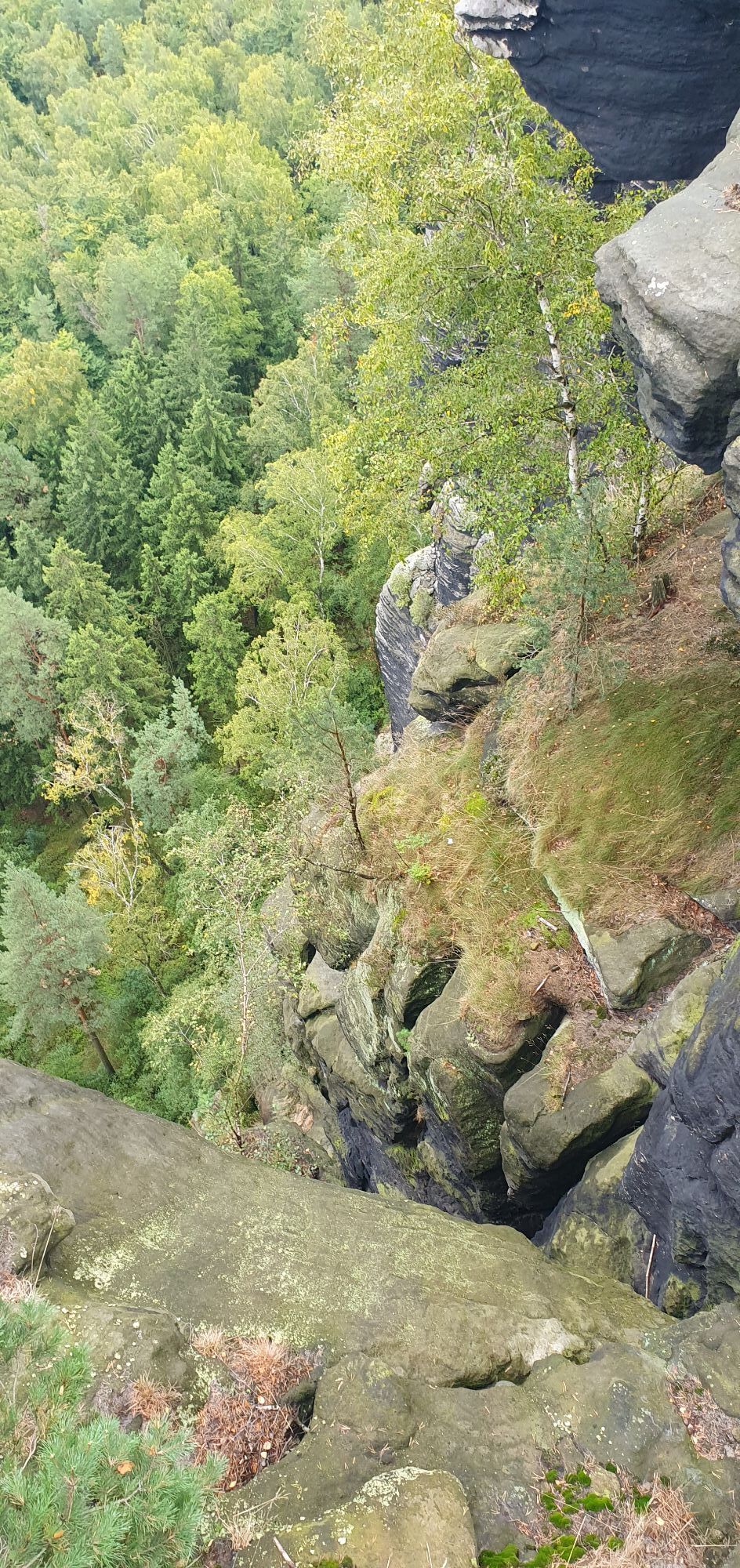
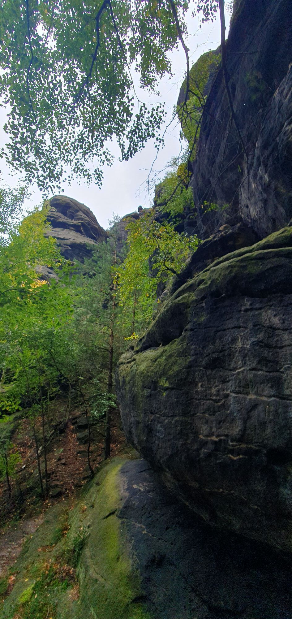
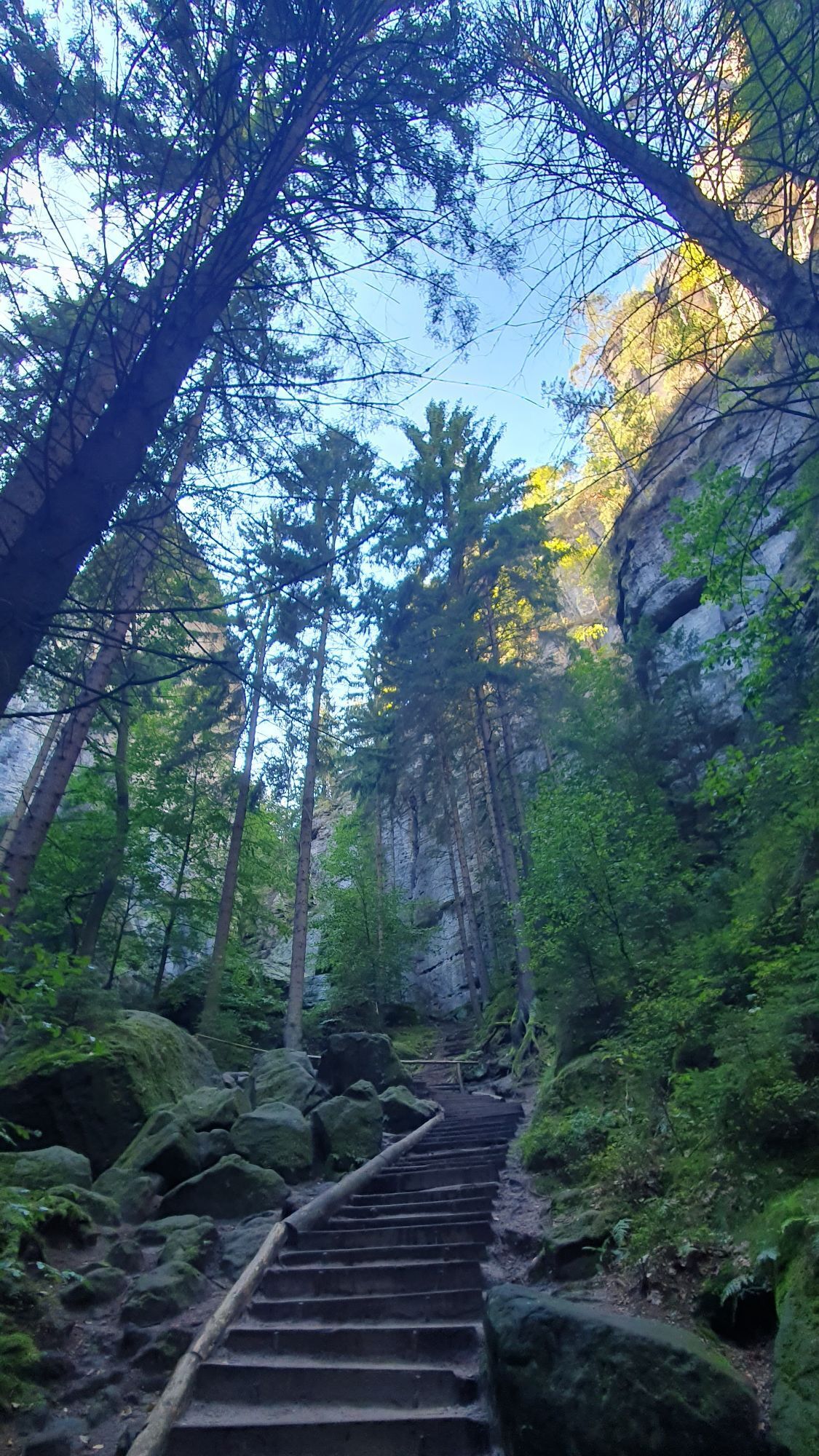
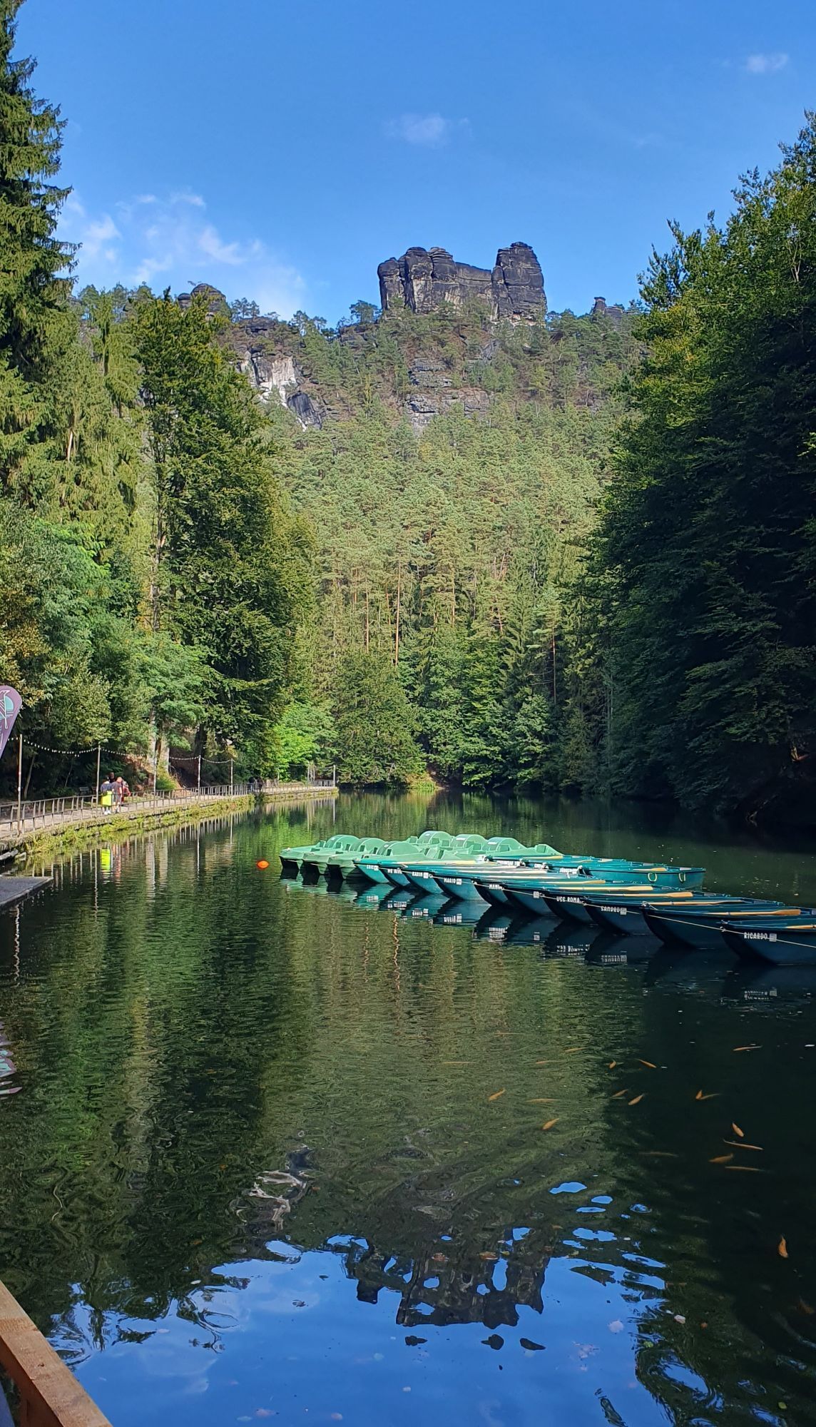
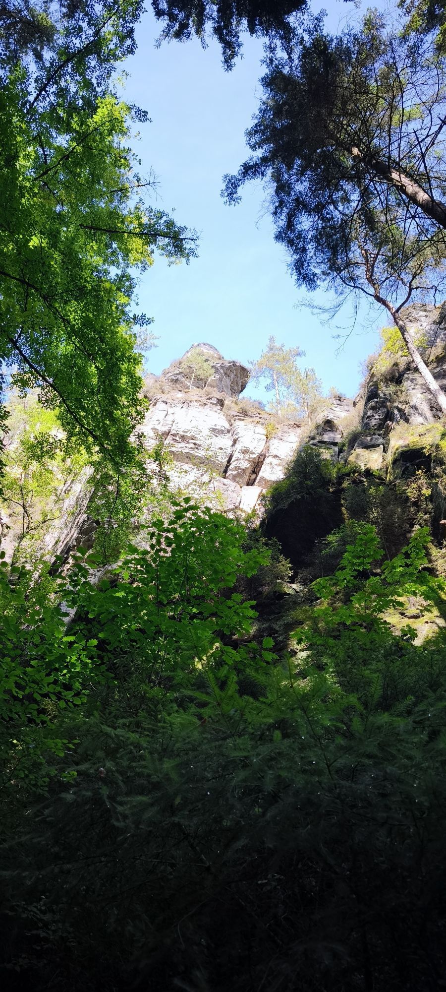
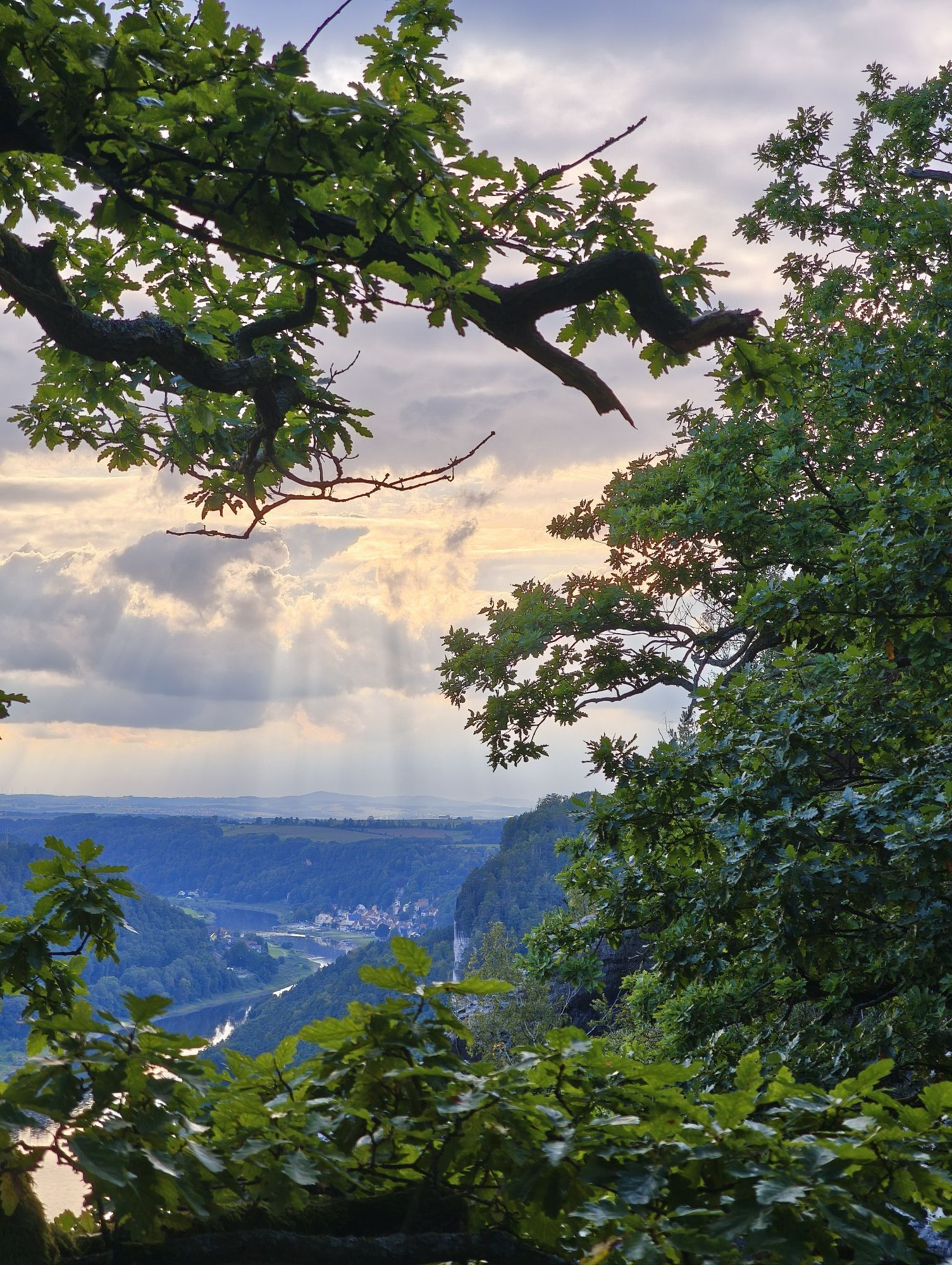
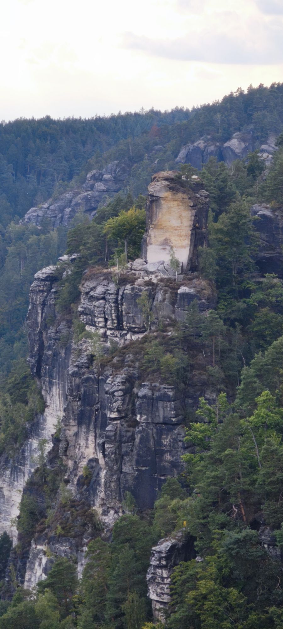
From the station or car park in Königstein, the route takes us across the Elbe by ferry to the other bank of the Elbe (Halbestadt). From here we walk up to the Königsteiner Ebenheit. There we follow the signs to the Lilienstein. Once at the foot of the Lilienstein, we climb stairs and ladders to what is probably the most beautiful table mountain in Saxon Switzerland. Here you can enjoy views in all directions of the region. After a short descent along the same path, we follow the blue line marking (long-distance hiking trail) to Kurort Rathen. Once in Kurort Rathen, we enjoy the beautiful views over the Elbe, perhaps catch sight of a steamer and walk through the town towards Amselsee. There are numerous places to stop in the spa town, from snack bars to 4-star restaurants. The Amselsee below such imposing rock groups as the "Locomotive", "Beehive", "Small and Large Goose" and "Valley Guard" offers contemplative rest or even a gondola tour. On the way back, we hike and enjoy the route from the other direction and cross over to the other side of the Elbe in Kurort Rathen with the Gierseilfähre ferry. Because of the rope on which it is suspended, the ferry has to be considerate of ships, so there may be a slight delay during the crossing. Once we reach the other side of the Elbe, we walk up to the station so that we can take the train back to Königstein.
Order here: Wanderkarte Königstein - Kurort Rathen
Surefootedness and Hiking shoes required
Please note: inthe Saxon Switzerland National Park, only marked trails may be used in the core zone! Fines may be imposed for violations.
Exit Bahretal, continue on K 8732 to Krietzschwitz, then B 172 towards Bad Schandau
Königstein am Malerweg" multi-storey car park on the B 172 (Fortress junction), only 800 m on foot to the Fortress
Webcams der Tour
Burgstadt Hohnstein
Burgstadt Hohnstein
Burgstadt Hohnstein
Burgstadt Hohnstein
Nationalparkbahnhof
Nationalparkbahnhof
Aussichtsturm Rathmannsdorf
Aussichtsturm Rathmannsdorf
Aussichtsturm Rathmannsdorf
Aussichtsturm Rathmannsdorf
Aussichtsturm Rathmannsdorf
Oberrathen
Oberrathen
Oberrathen
Oberrathen
Oberrathen
Oberrathen
Burg Altrathen
Burg Altrathen
Burgstadt Hohnstein
Hol dir den Einblick Immer live vor Ort mit über 9.500 Webcams. In der Touren App von bergfex siehst du als Pro-User jetzt zu vielen Touren die passenden Webcams. So kannst du dir direkt die aktuellen Bedingungen ansehen.
Beliebte Touren in der Nähe
- 4,7
Rathen / Hockstein / Bastei / Rathen
mittelWanderung 14,4 km - 4,6
Von Rathewalde zur Bastei
Wanderung 12,8 km - 4,7
Rundwanderung Bastei Schwendenlöcher -Amselsee
leichtWanderung 6,21 km - 4,5
Kuhstall, Himmelsleiter und Schneiderloch
mittelWanderung 4,06 km - 4,7
Pfaffenstein Sachsen/Deutschland
mittelWanderung 3,89 km - 5,0
Basteibrücke
leichtWanderung 2,31 km - 5,0
Lilienstein
leichtWanderung 3,75 km - 4,9
entlang der Schrammsteine, Breite Kluft, Affenwand
mittelWanderung 11,6 km - 4,4
Kurort Rathen: Große Bastei-Runde
mittelWinterwandern 4,75 km - 4,8
Bad Schandau, Schrammsteinrunde
mittelWanderung 11,0 km
Wandern & Tracking


Verpasse keine Angebote und Inspirationen für deinen nächsten Urlaub
Deine E-Mail-Adresse wurde in den Verteiler eingetragen.





