Lübeck Hauptbahnhof - Kirche Gleschendorf - Martin-Luther-Kirche - St.-Matthäi-Kirche
mittel
Hol diese Tour auf dein Handy
Lübeck Hauptbahnhof - Kirche Gleschendorf - Martin-Luther-Kirche - St.-Matthäi-Kirche
mittel
Rennrad
67,63
km
QR-Code scannen und Navigation in der bergfex App beginnen

Wandern & Tracking


Lübeck Hauptbahnhof - Kirche Gleschendorf - Martin-Luther-Kirche - St.-Matthäi-Kirche
mittel
Distanz
67,63
km
Dauer
03:30
h
Aufstieg
680
hm
Seehöhe
2 -
66
m
Track-Download
Lübeck Hauptbahnhof - Kirche Gleschendorf - Martin-Luther-Kirche - St.-Matthäi-Kirche
mittel
Rennrad
67,63
km
Wegverlauf
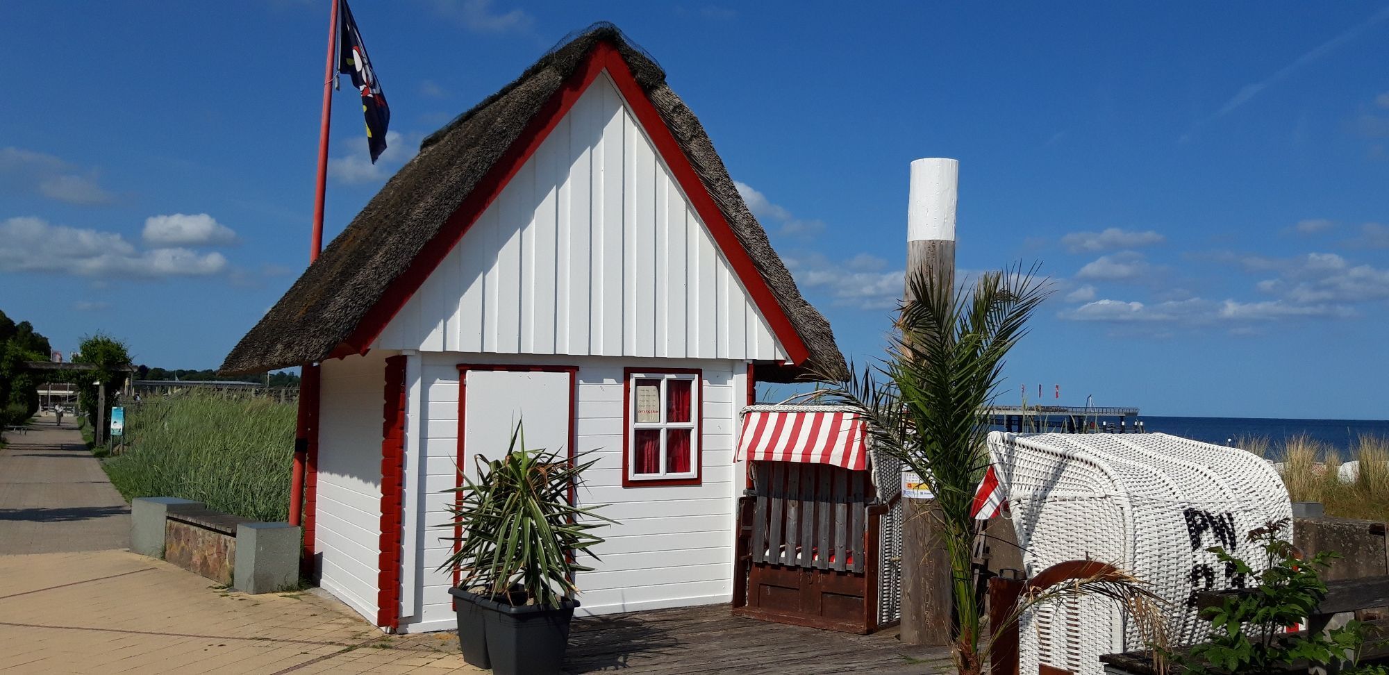
St.-Lorenz-Kirche
(20 m)
Andachtsstätte
0,1 km
Kirche Gleschendorf
(29 m)
Andachtsstätte
22,1 km
Klingberg
(53 m)
Dorf
24,6 km
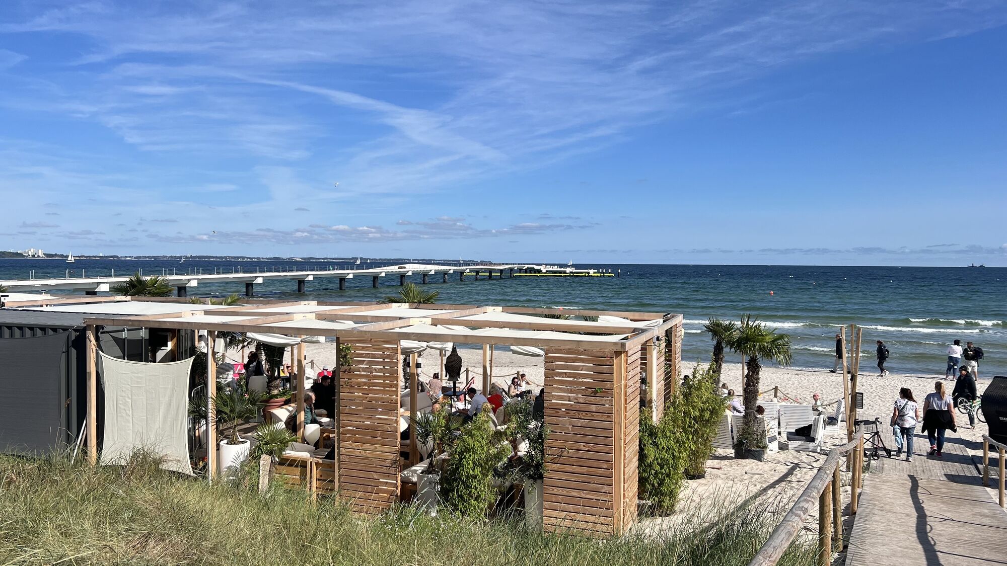
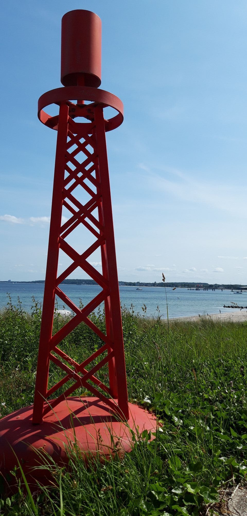
Scharbeutz
(5 m)
Stadt
37,1 km
Grammersdorf
(15 m)
Siedlung
51,6 km
Neuapostolische Kirche Bad Schwartau
(17 m)
Andachtsstätte
61,5 km
St.-Matthäi-Kirche
(14 m)
Andachtsstätte
66,7 km
Wegverlauf
Lübeck Hauptbahnhof - Kirche Gleschendorf - Martin-Luther-Kirche - St.-Matthäi-Kirche
mittel
Rennrad
67,63
km
Lübeck Hauptbahnhof
(14 m)
Bahnhof
0,0 km
St.-Lorenz-Kirche
(20 m)
Andachtsstätte
0,1 km
Lübeck
(13 m)
Stadt
0,3 km
Stockelsdorf
(18 m)
Stadt
3,2 km
Flair
(13 m)
Restaurant
3,5 km
Emek
(20 m)
Restaurant
5,8 km
Groß Parin
(38 m)
Dorf
9,7 km
Pariner Berg
(63 m)
Restaurant
10,6 km
Horsdorf
(34 m)
Dorf
12,8 km
Malkendorf
(24 m)
Dorf
14,6 km
Sarkwitz
(28 m)
Dorf
17,4 km
Kirche Gleschendorf
(29 m)
Andachtsstätte
22,1 km
Gleschendorf
(18 m)
Dorf
22,4 km
Klingberg
(53 m)
Dorf
24,6 km
Gronenberg
(41 m)
Dorf
27,0 km
Stawedder
(39 m)
Siedlung
29,3 km
Siedenkamp
(32 m)
Siedlung
30,0 km
Hof Altona
(30 m)
Siedlung
31,0 km
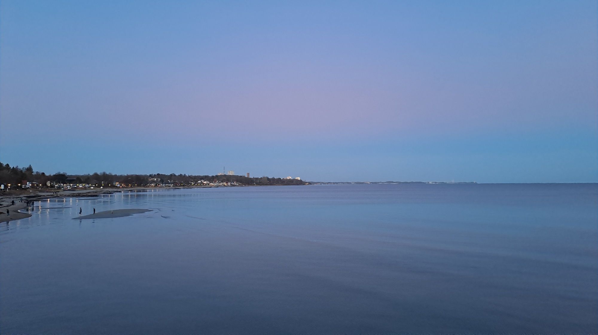
Haffkrug
(6 m)
Dorf
33,9 km
Scharbeutz
(5 m)
Stadt
37,1 km
Hamptons
(4 m)
Restaurant
38,4 km
Timmendorfer Strand
(5 m)
Stadt
40,7 km
Niendorf/Ostsee
(4 m)
Dorf
44,3 km
Häven
(16 m)
Siedlung
46,4 km
Warnsdorf
(26 m)
Dorf
47,7 km
Steakhof
(29 m)
Restaurant
47,9 km
Ludwig's
(28 m)
Restaurant
48,0 km
Hofküche
(26 m)
Restaurant
48,2 km
Grammersdorf
(15 m)
Siedlung
51,6 km
Kreuzkamp
(20 m)
Dorf
53,2 km
Ostsee-Lodge
(21 m)
Restaurant
53,2 km
Sereetz
(11 m)
Dorf
57,7 km
Pizza Roma
(12 m)
Restaurant
57,8 km
Martin-Luther-Kirche
(7 m)
Andachtsstätte
60,2 km
Bad Schwartau
(11 m)
Stadt
61,0 km
Neuapostolische Kirche Bad Schwartau
(17 m)
Andachtsstätte
61,5 km
Zum weißen Schwan
(8 m)
Restaurant
63,8 km
Vorwerk
(16 m)
Stadtteil
64,8 km
Palma
(18 m)
Restaurant
65,3 km
St.-Matthäi-Kirche
(14 m)
Andachtsstätte
66,7 km
Lübeck
(13 m)
Stadt
67,3 km
St.-Lorenz-Kirche
(20 m)
Andachtsstätte
67,5 km
Lübeck Hauptbahnhof
(14 m)
Bahnhof
67,6 km
Noch keine Bewertungen
Webcams der Tour
Beliebte Touren in der Nähe
Timmendorf - Travemünde Rundtour
mittelRadfahren 21,4 kmEntlang der Ostsee
leichtWanderung 13,8 kmTimmendorfer Strand - Trattoria del Campo - Scharbeutz - Geroldkirche
leichtRadfahren 31,5 kmTravemünde - Timmendorfer Strand - Hamptons - Scharbeutz
leichtRadfahren 16,0 km- 4,0
Scharbeutz - Haffkrug - Sierksdorf - Oevelgönne
Wanderung 31,0 km Lübecker Altstadt Rundgang
Spazieren 7,75 kmScharbeutz - Klingberg
mittelWanderung 8,14 kmScharbeutz - Neuapostolische Kirche Lübeck-Travemünde - St.-Paulus-Kapelle - St.-Jakobi-Kirche
mittelRadfahren 72,2 kmEutin - Grillzeit - Nostimo - Geroldkirche
mittelRadfahren 60,7 kmHamptons - Scharbeutz - Seeblick Sierksdorf - Hospitalkirche
leichtRadfahren 47,8 km

Wandern & Tracking

Über 550.000 Tourenvorschläge, detailliertes Kartenmaterial und ein intuitiver Routenplaner machen die App zum Must-have für alle Naturbegeisterten.

Verpasse keine Angebote und Inspirationen für deinen nächsten Urlaub
Zum Newsletter anmelden
Fehler
Ein Fehler ist aufgetreten. Bitte versuche es erneut.Vielen Dank für deine Anmeldung
Deine E-Mail-Adresse wurde in den Verteiler eingetragen.
Touren in ganz Europa
Österreich Schweiz Deutschland Italien Slowenien Frankreich Niederlande Belgien Polen Liechtenstein Tschechien Slowakei Spanien Kroatien Bosnien und Herzegowina Luxemburg Andorra Portugal Island Vereinigtes Königreich Irland Griechenland Albanien Nordmazedonien Malta Norwegen Montenegro Moldau Kosovo Ungarn San Marino Rumänien Estland Lettland Belarus Zypern Litauen Serbien Bulgarien Monaco Dänemark Schweden Finnland