


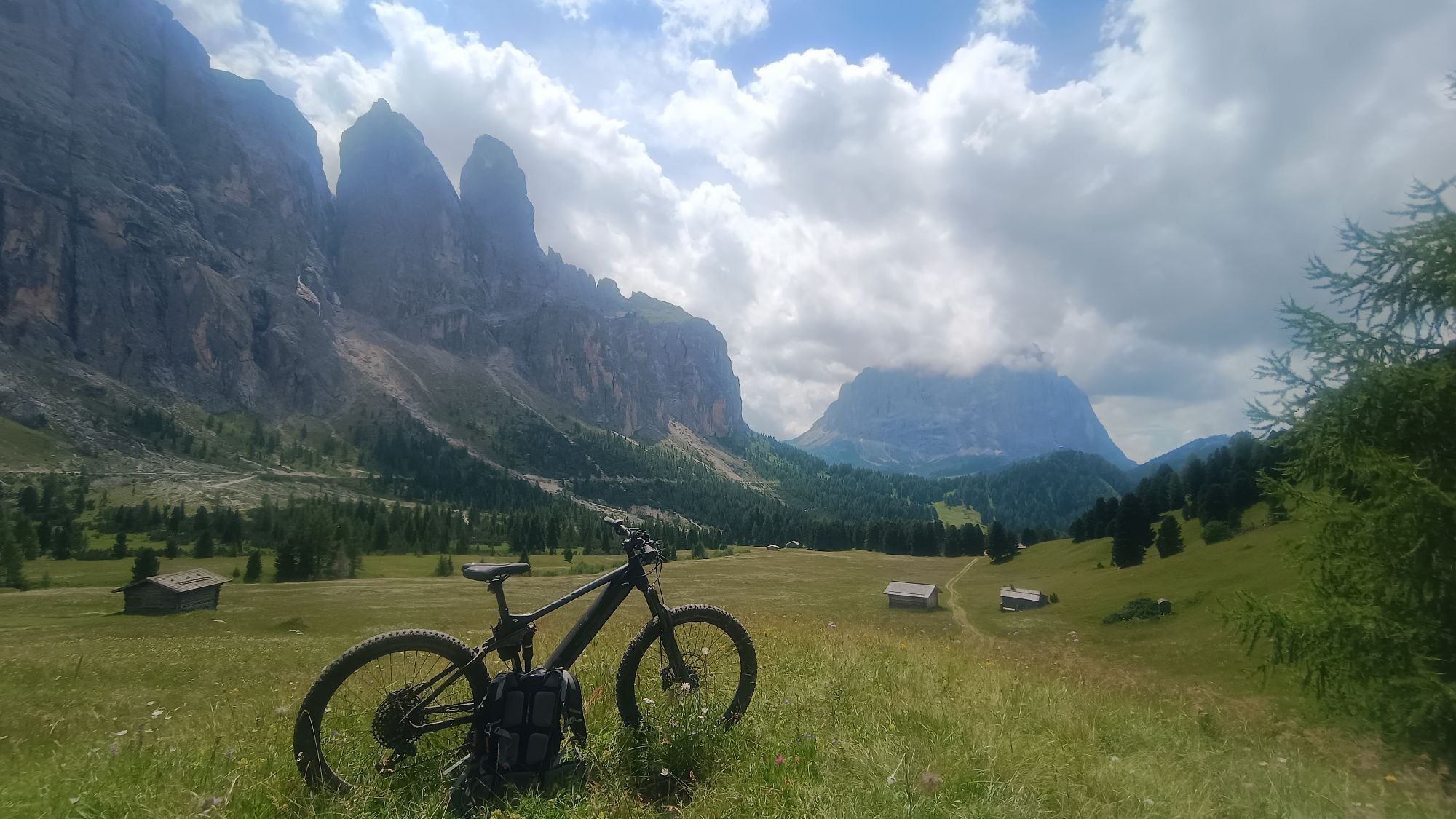
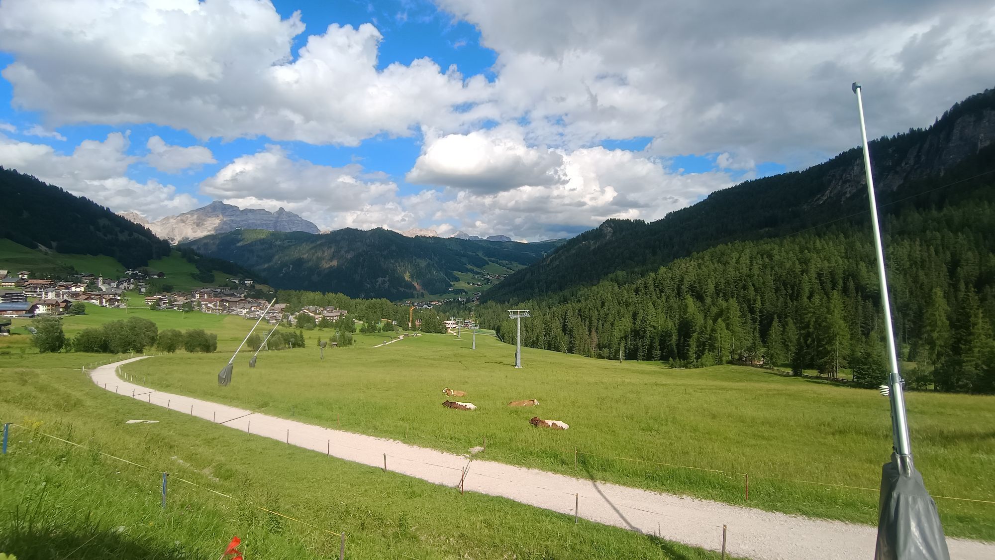
Sellaronda Counterclockwise - with lifts
Fotos unserer User

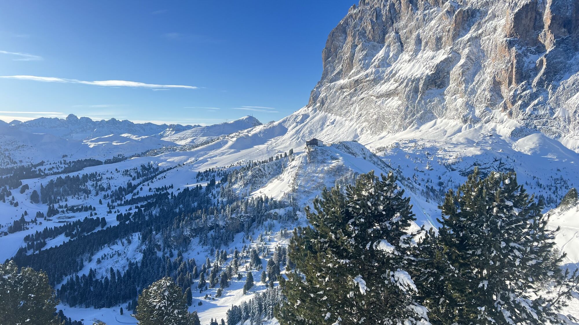
 © GipfelspeziErstellt am 31.01.2025
 © GipfelspeziErstellt am 31.01.2025
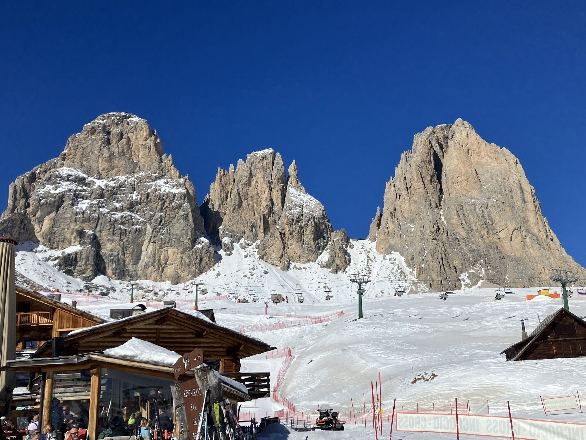
 © Bernd BluttnerErstellt am 14.02.2023
 © Andreas GeislerErstellt am 11.09.2025
 © Vida BurjaErstellt am 06.09.2025
 © Vida BurjaErstellt am 06.09.2025
 © Vida BurjaErstellt am 06.09.2025
 © DolomitiMikeErstellt am 19.08.2025
 © massimo tabelliniErstellt am 12.08.2025
 © BaumiErstellt am 12.07.2025
 © BaumiErstellt am 12.07.2025
 © BaumiErstellt am 12.07.2025
 © BaumiErstellt am 12.07.2025
 © BaumiErstellt am 12.07.2025
 © BaumiErstellt am 12.07.2025
 © BaumiErstellt am 11.07.2025
 © BaumiErstellt am 11.07.2025
 © BaumiErstellt am 11.07.2025
 © Stefano “Iddo”Erstellt am 05.11.2024
 © Eberl ChristianErstellt am 20.07.2024
 © Peter LaureErstellt am 06.07.2024
 © Peter LaureErstellt am 06.07.2024
 © Peter LaureErstellt am 06.07.2024
 © Peter LaureErstellt am 06.07.2024
 © ProbsgErstellt am 08.06.2024
 © GipfelspeziErstellt am 30.01.2025
 © Peter PanErstellt am 30.07.2024
 © Stefano “Iddo”Erstellt am 21.08.2023
 © Stefano “Iddo”Erstellt am 21.08.2023
 © Stefano “Iddo”Erstellt am 21.08.2023
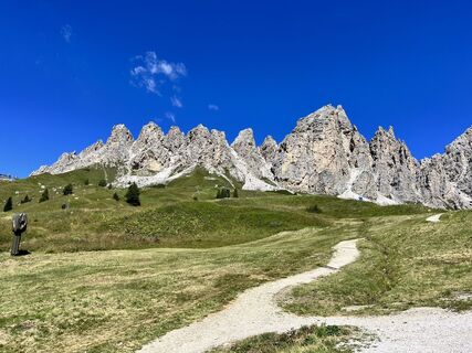 © Stefano “Iddo”Erstellt am 21.08.2023
 © Stefano “Iddo”Erstellt am 21.08.2023
 © Bernd BluttnerErstellt am 14.02.2023
 © Bernd BluttnerErstellt am 14.02.2023
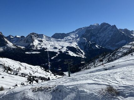 © Bernd BluttnerErstellt am 14.02.2023
 © Franz WernetErstellt am 05.04.2026
 © sam1007Erstellt am 04.04.2026
 © sam1007Erstellt am 04.04.2026
 © sam1007Erstellt am 04.04.2026
 © sam1007Erstellt am 04.04.2026
 © Simon HeidErstellt am 30.03.2026
 © Simon HeidErstellt am 30.03.2026
 © Almir OsmicErstellt am 28.03.2026
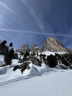
 © Matteo BaioccoErstellt am 25.03.2026
 © Johanna HoldenriederErstellt am 25.03.2026
 © Matteo BaioccoErstellt am 24.03.2026
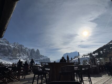 © Matteo BaioccoErstellt am 24.03.2026
 © Matteo BaioccoErstellt am 24.03.2026


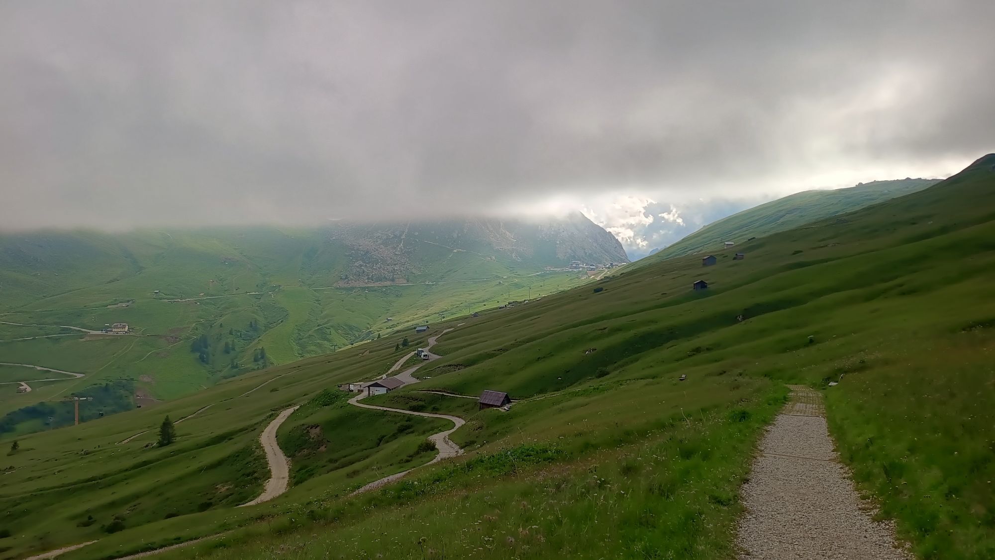


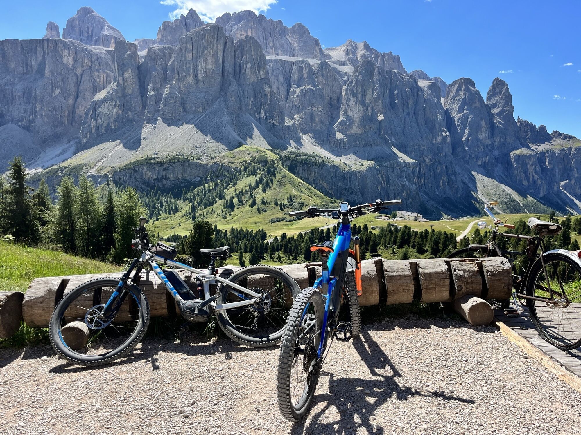


Distance without lifts - 47,3 km + Elevation without lifts - 907 m Time without lifts - about 5 hours No hard downhills and uphills (S0 - S1) ---------------- Restaurants with E - Bike Chargers: Ristorante...
Distance without lifts - 47,3 km
- Elevation without lifts - 907 m
Time without lifts - about 5 hours
No hard downhills and uphills (S0 - S1)
Restaurants with E - Bike Chargers:
Ristorante Mesoles - Not exactly on the route. When going up "Plans" Gondola, you need to ride down "Tru D les Cascades", and in the middle of the way to gondola there is Mesola. G maps: maps.app.goo.gl/99gKP8xwwvfSymDZA
Dantercepies Mountain Lodge - When you are on the road from "Plans" Upper Station, you&039;ll see a 4 person chairlift named "Cir". Go up by this lift and you are in the restaurant. to get back on the route, ride down by 654.
Emilio Comici mountain hut - on the route maps.app.goo.gl/AzAm5p8AaANUqj1v9
Rifugio Salei - www.google.com/maps/place/46.503591,1...
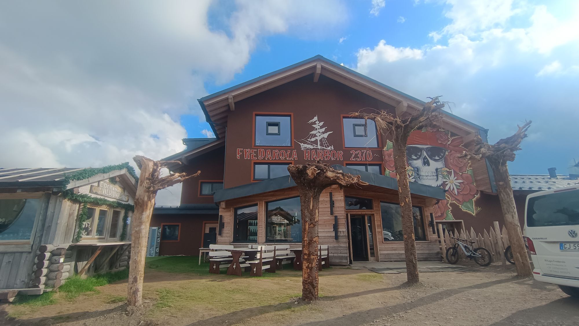
Rifugio Fredarola - maps.app.goo.gl/8ibPac9rHRdq6TFy5
Rifugio Burz - maps.app.goo.gl/Z4T9a4HGiyX5Jxy8A

Webcams der Tour
Ciampinoi
Plan de Gralba
Pedraces
La Villa - Alta Badia
Tublà
Col dei Rossi
Colfosco
St. Christina
St. Christina - Gröden - Dorfhotel Beludei
Rifugio Bioch - Alta Badia
Rifugio Maria Sass Pordoi
Arabba - Bec de Roces
Arabba - Porta Vescovo
Ciampinoi
Col Raiser
Città dei Sassi
Dantercepies
Col dei Rossi
Col dei Rossi
Col dei Rossi
Moritzino Club - Piz la Ila
Campitello di Fassa - Col Rodella
Col dei Rossi
Col dei Rossi
Col dei Rossi
Col dei Rossi
Col dei Rossi
Piz Arlara
Piz Arlara
Piz Arlara
Piz Arlara
Piz Arlara
Piz Arlara
Edelweiss Tal - Colfosco
Piz La Ila
Piz La Ila
Piz Sorega
Piz Sorega
Piz Sorega
Piz Sorega
Beliebte Touren in der Nähe
- 4,6
Pordoijoch - Sass Pordoi - Pordoi Scharte - Piz Boè - Bamberger Hütte - Pordoi Scharte - Pordoijoch
schwerWanderung 8,39 km - 4,8
Langkofel-Umrundung
mittelWanderung 12,9 km - 4,4
Dolomiten Sellagruppe, Alb. Col di Lana, Sas de Pordoi, Piz Boé retour 22.06.2016
mittelWanderung 5 km - 4,9
Lang- und Plattkofel Umrundung
mittelWanderung 17,5 km - 3,8
Der Friedrich-August-Weg
mittelWanderung 10,4 km - 4,7
Der Munkelweg unter den Geislerspitzen
mittelWanderung 9,11 km - 4,5
Steviahütte - Nadelscharte, Regensburger Hütte
mittelWanderung 10 km - 5,0
Um den Langkofel
mittelWanderung 9,76 km - 5,0
Ciampedie - Gardeccia - Grasleitenpass - Antermoia Hütte - Val Duron - Campitello
schwerWanderung 18,7 km - 4,7
Etappe 1 Dolomiti Trek King im Herbst - Rosengarten (Catinaccio)
schwerWanderung 15,3 km

Wandern & Tracking


Verpasse keine Angebote und Inspirationen für deinen nächsten Urlaub
Deine E-Mail-Adresse wurde in den Verteiler eingetragen.