


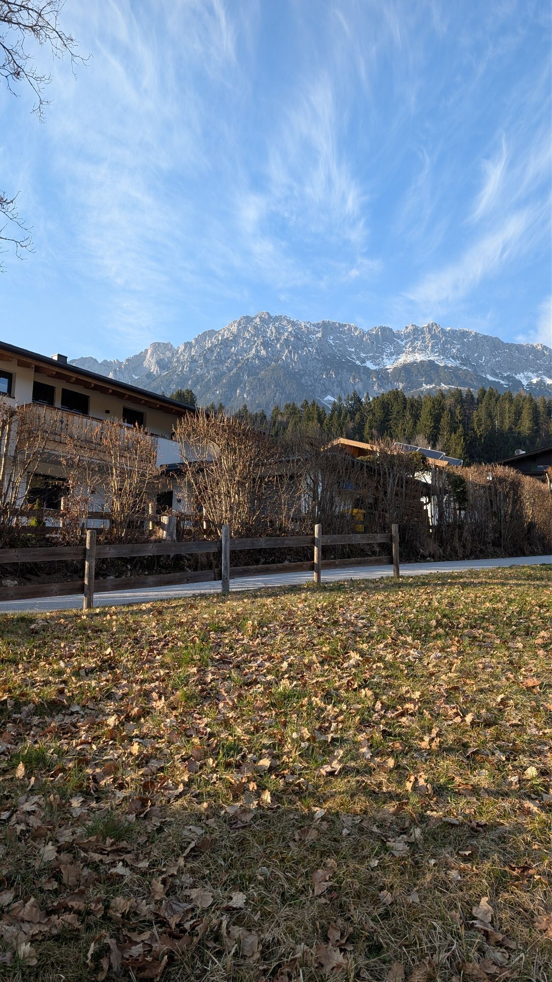
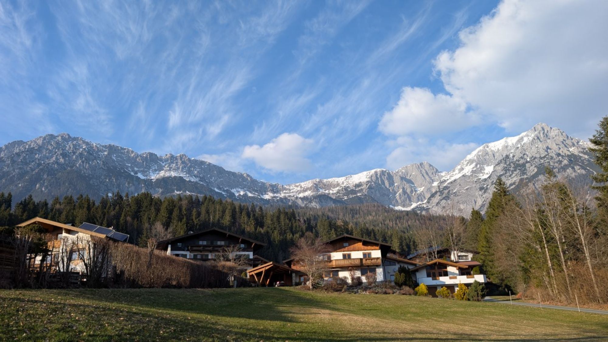
Jägerwirt-Schiessling running circuit
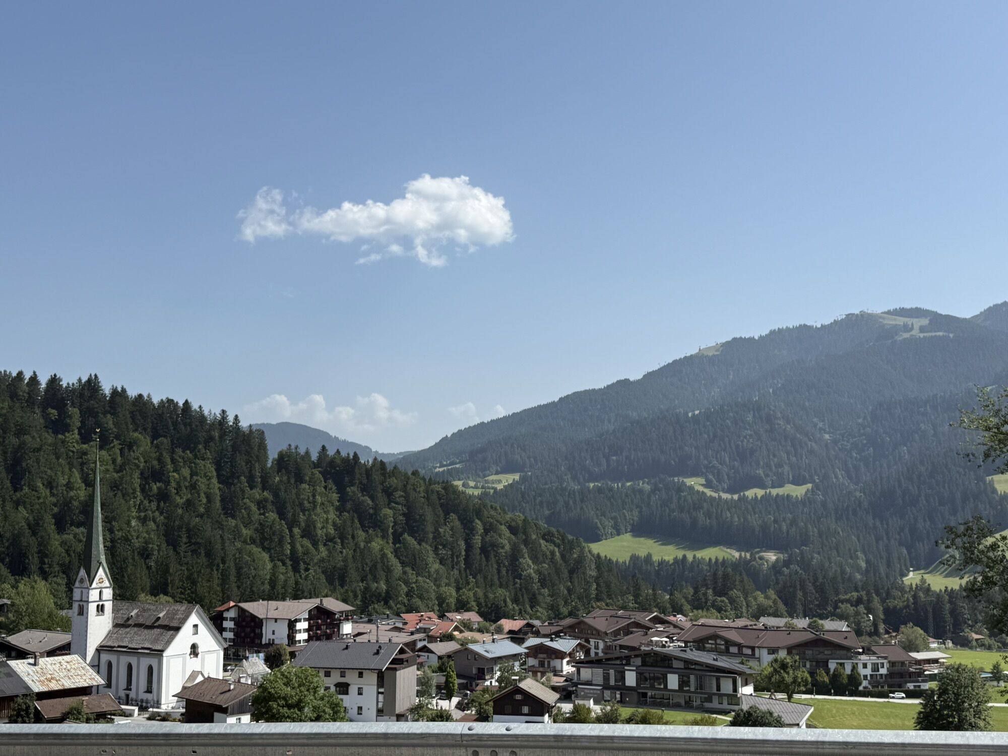
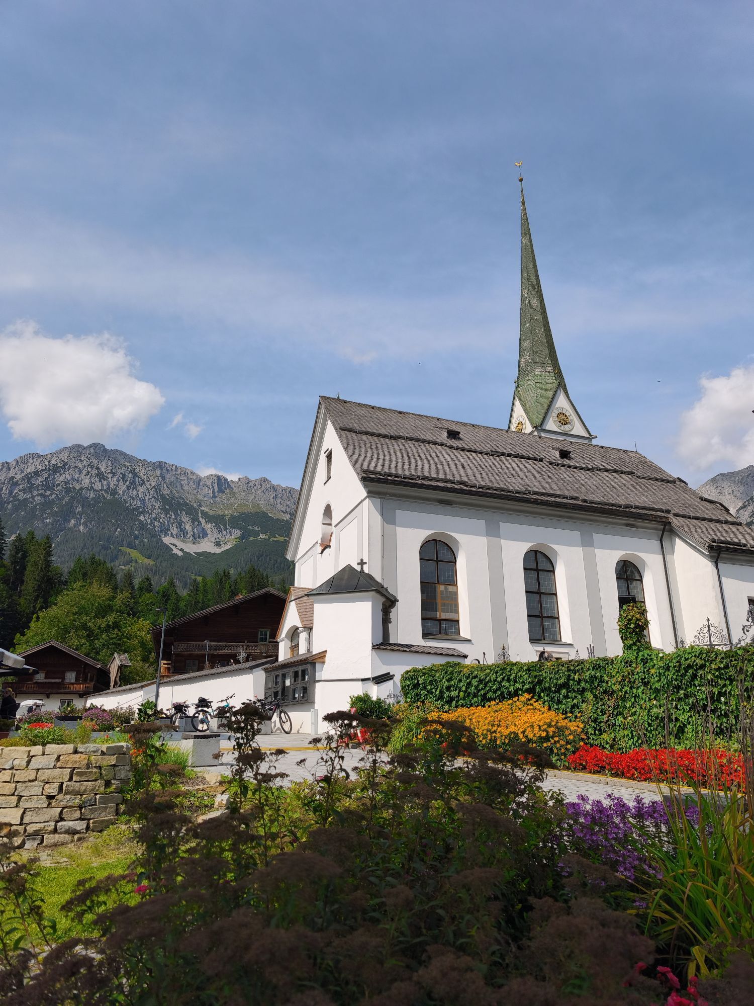
The starting point is at the tourist office in Scheffau. At first, take the road in the direction of the church to Gasthof Weberbauer, behind it turn right and at the next crossroads turn right again until...
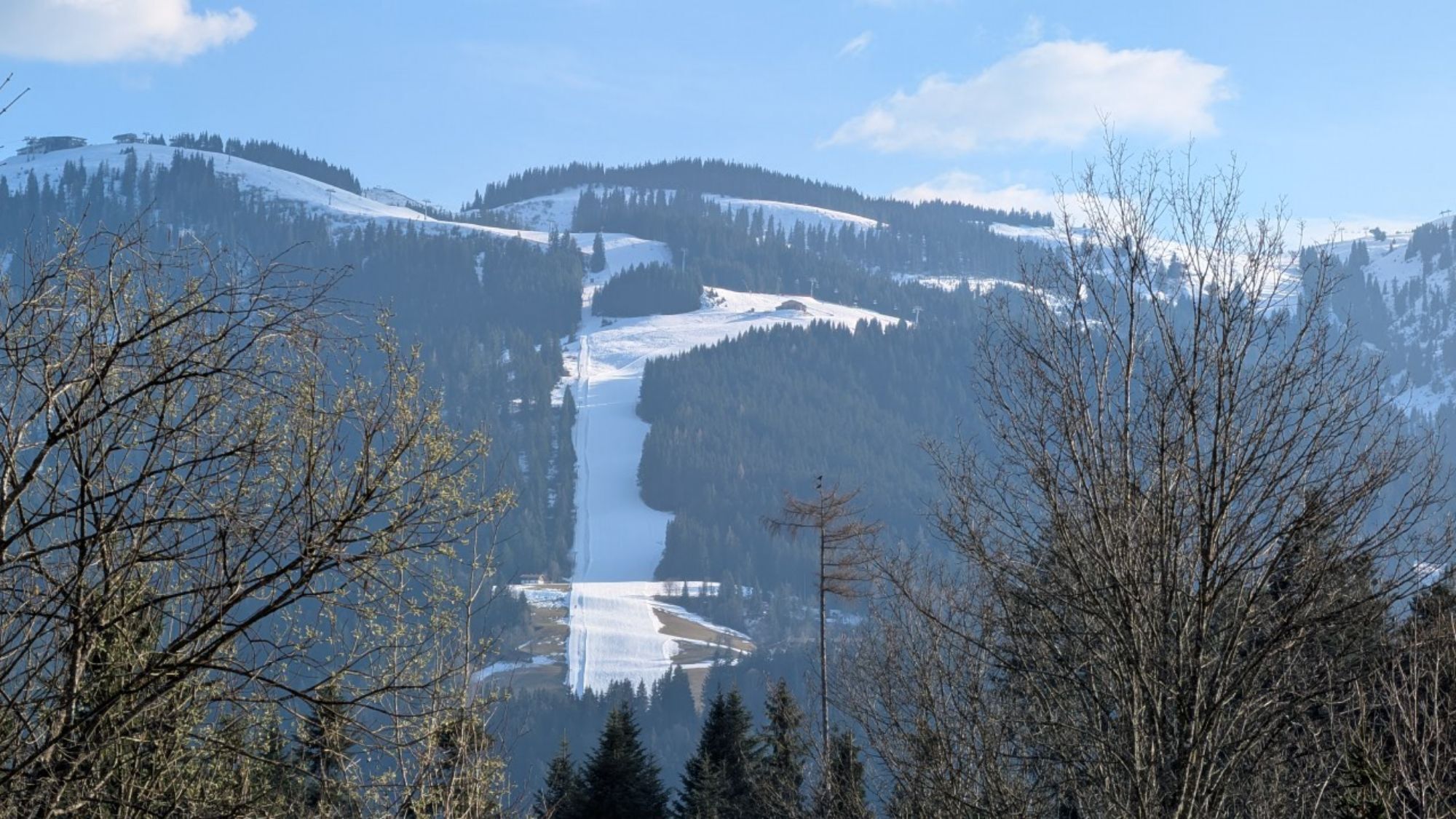
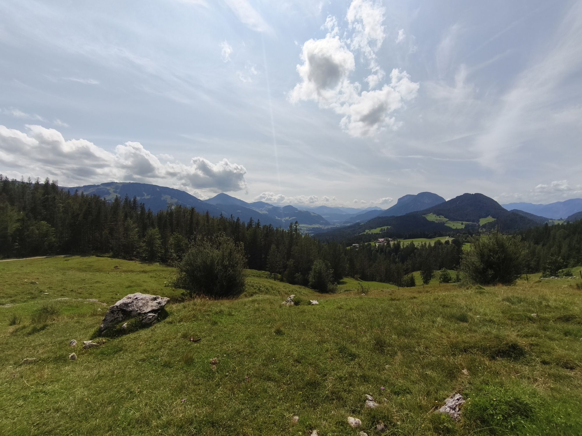
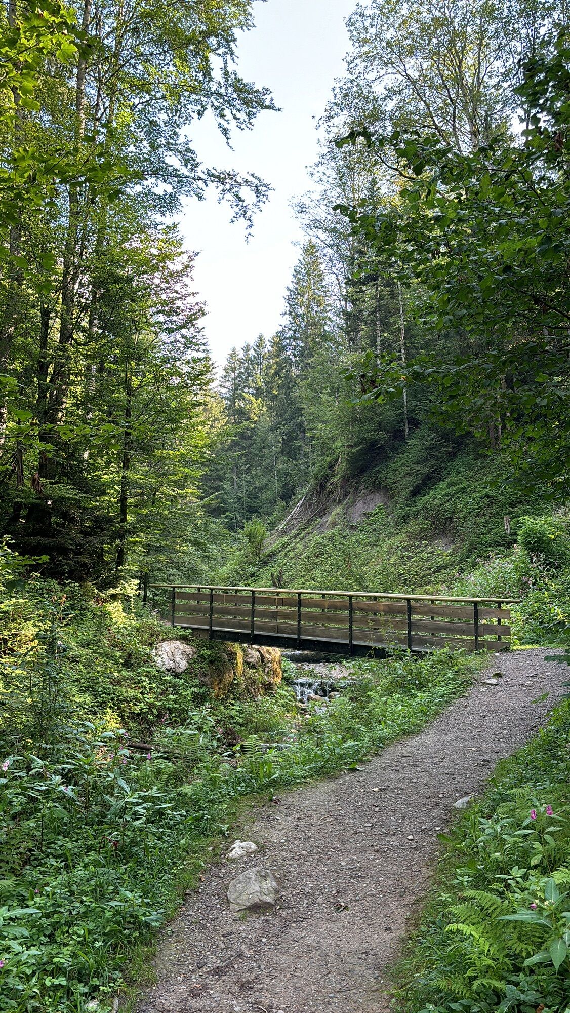
The starting point is at the tourist office in Scheffau. At first, take the road in the direction of the church to Gasthof Weberbauer, behind it turn right and at the next crossroads turn right again until you reach the forest. Here you cross the bridge and follow the hiking trail along the Treffauerbach up to the Jägerwirt (No. 814). Once there, continue to the Gaisberg car park (path no. 826 + 822), then turn left onto forest path no. 41, which will bring you back to the center of Scheffau.
Wilder Kaiser hiking map (1:25.000) available in the tourist information centres Ellmau, Going, Scheffau and Söll
Running shoes or trail running shoes (depending on the route), comfortable, breathable clothing, poss. lightweight rucksack with water bottle and snacks
Heading from Wörgl, Kufstein or St. Johann on the B178 road, take the exit to Scheffau. Shortly before you come to the church, you will see the Tourist Information Office and the hiking starting point on the left-hand side (short-stay parking zone).
Public car park, Scheffau (740 m), north of the Community Hall - free
Beliebte Touren in der Nähe
- 4,7
Kirchdorf: Zur geheimnisvollen Teufelsgasse
mittelWanderung 7,90 km - 4,9
Streif Wanderweg
mittelWanderung 5,73 km - 4,7
Musikantensteig zur Naunspitze
mittelWanderung 8,96 km - 4,6
Hintersteinersee
mittelWanderung 9,87 km - 5,0
Stripsenjoch Klettersteige/ Rundwanderung von Griesener Alm über Stripsenjochhaus und Feldberg
mittelKlettersteig 10,2 km - 4,6
St. Johann in Tirol: Wasserfall & 3 Seen am Kitzbüheler Horn
mittelWanderung 12,7 km - 4,5
Über Hintersteinersee und Walleralm aufs Hochegg
leichtWanderung 12,2 km - 4,5
Wanderung um den Hintersteinersee
leichtWanderung 5,29 km - 4,8
Ellmauer Tor (22.07.2020)
mittelWanderung 9,32 km - 4,9
Route 209: Brechhornhaus-Choralpe
schwerMountainbike 24,4 km
Wandern & Tracking


Verpasse keine Angebote und Inspirationen für deinen nächsten Urlaub
Deine E-Mail-Adresse wurde in den Verteiler eingetragen.