







13 - Glockner tour
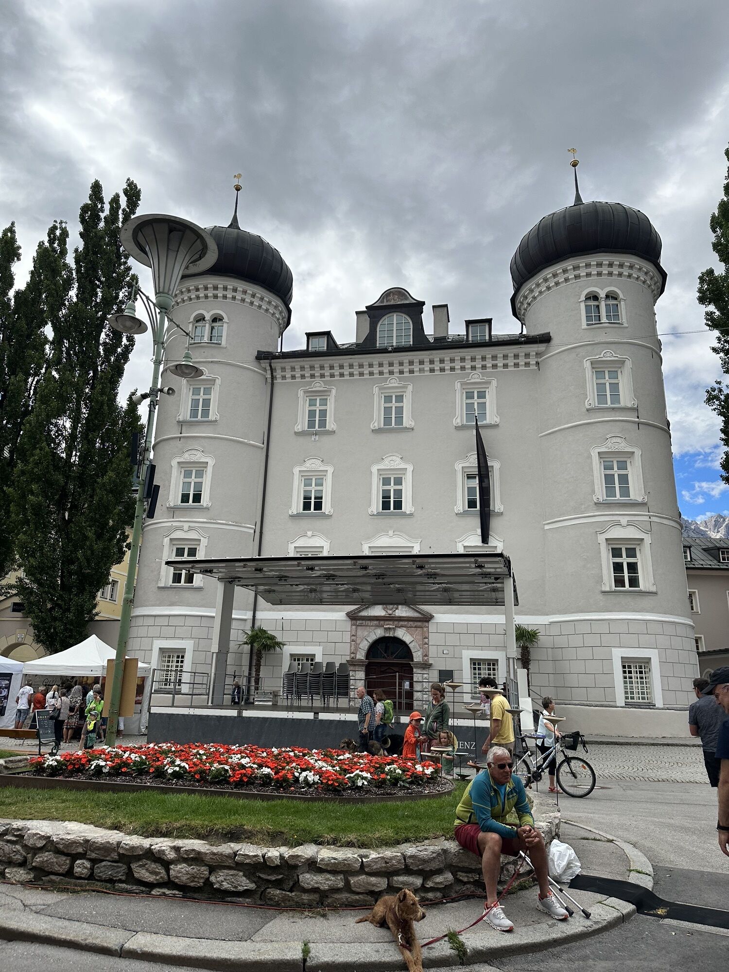
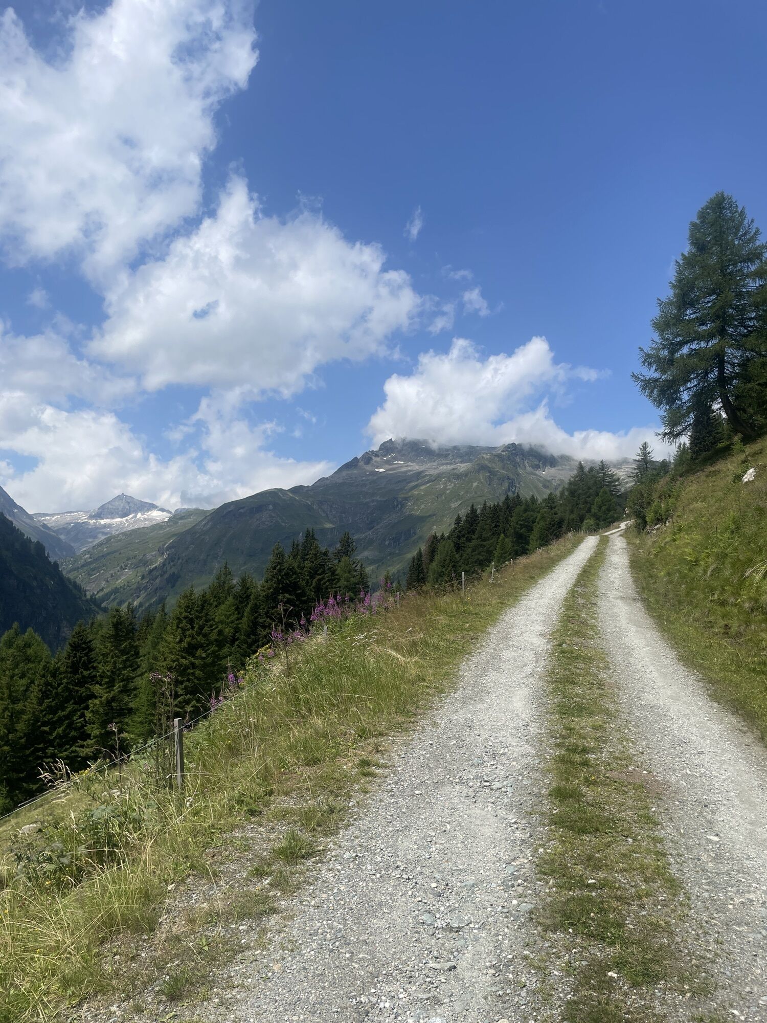
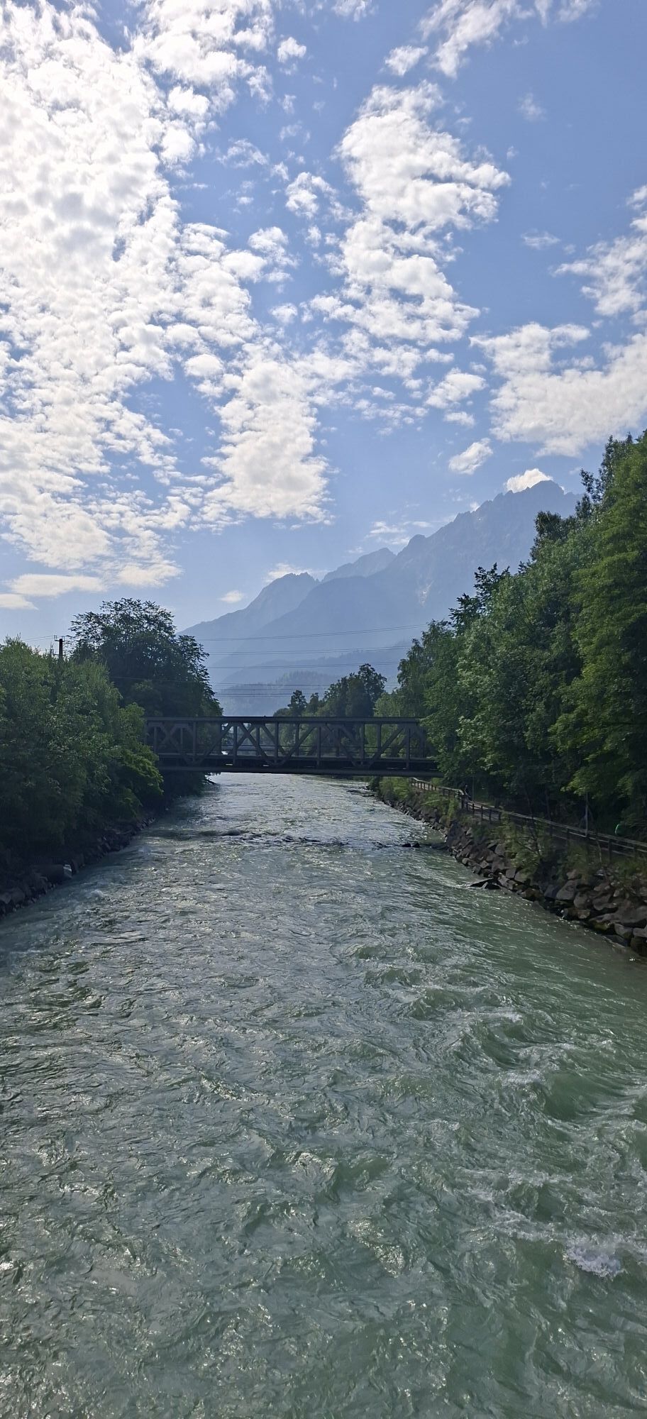
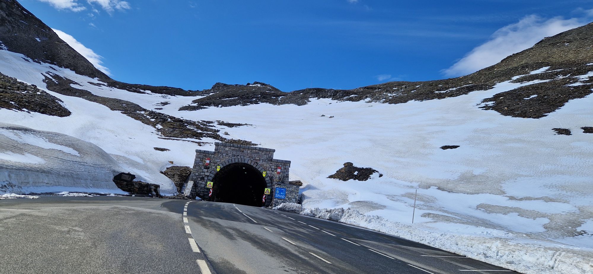
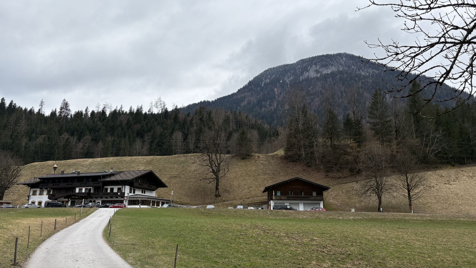
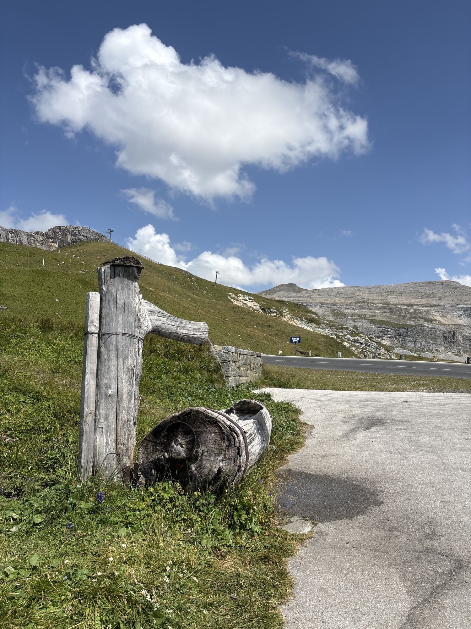
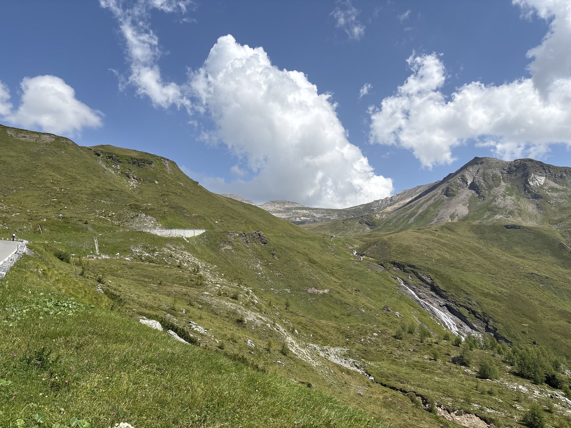
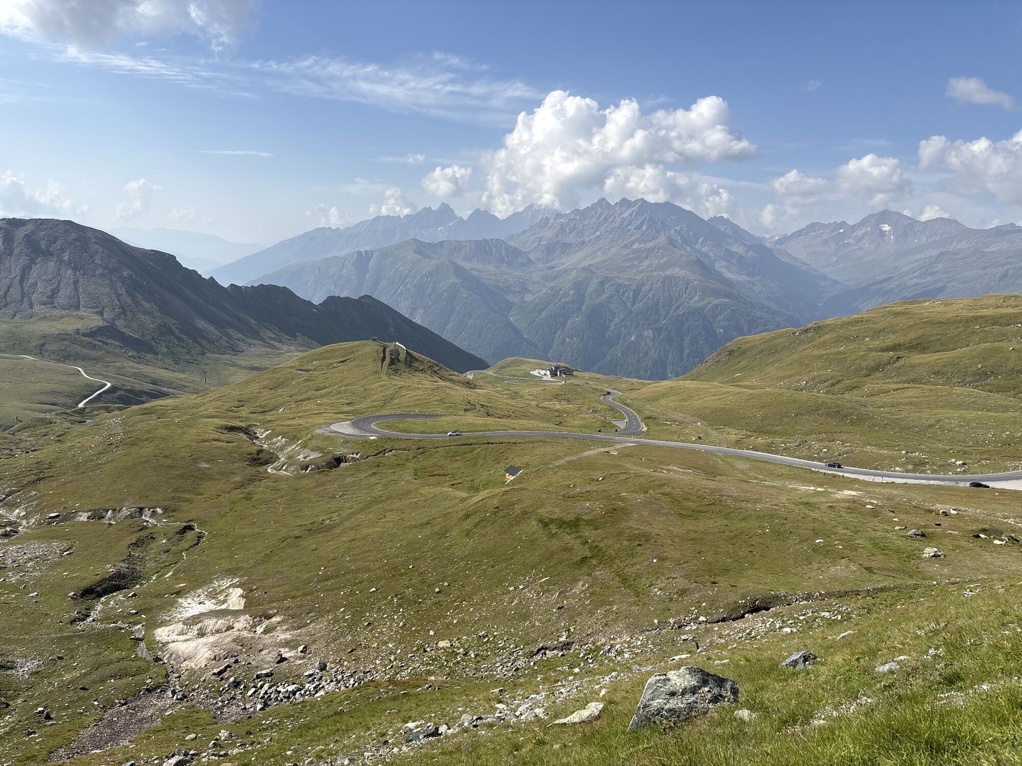
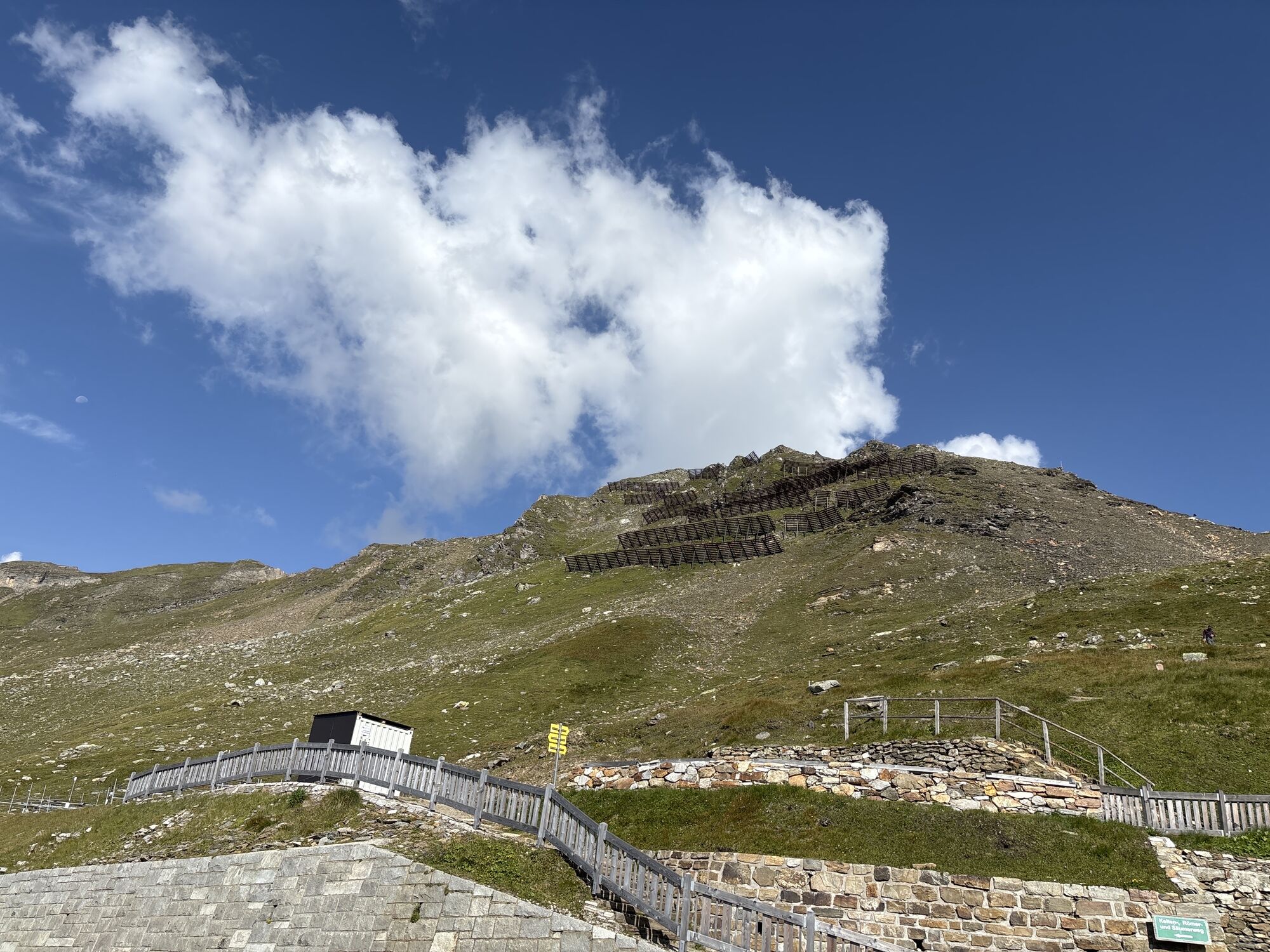
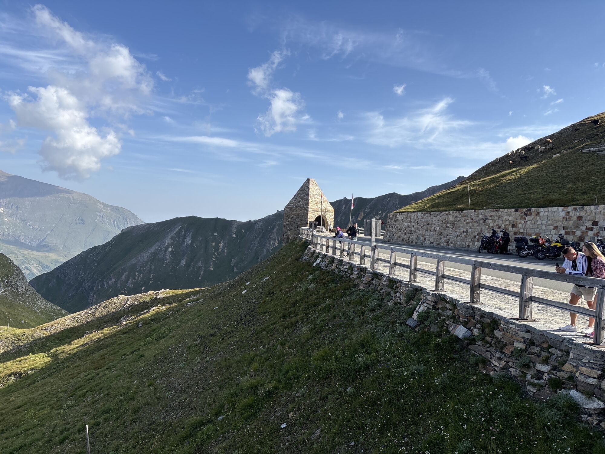
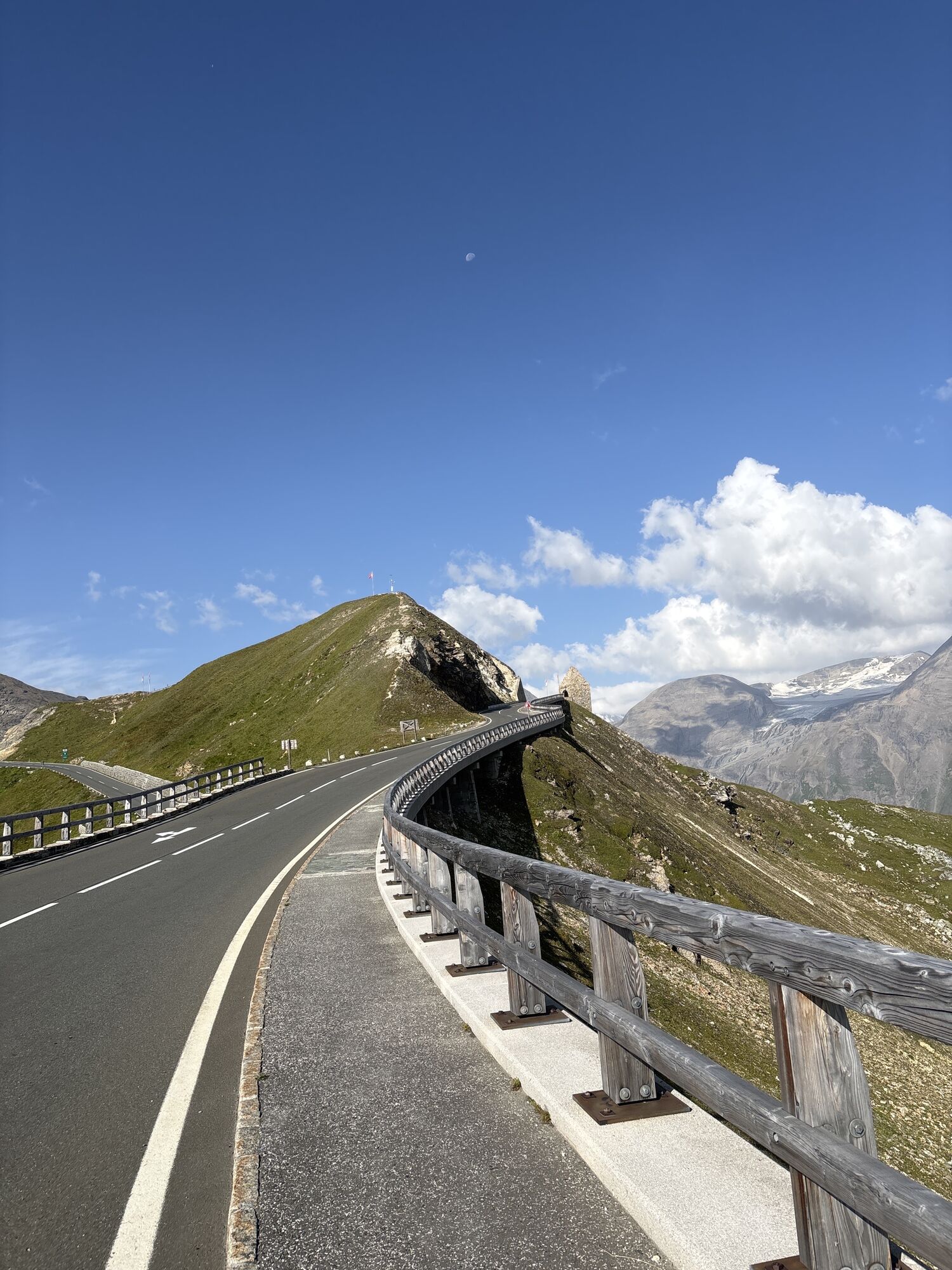
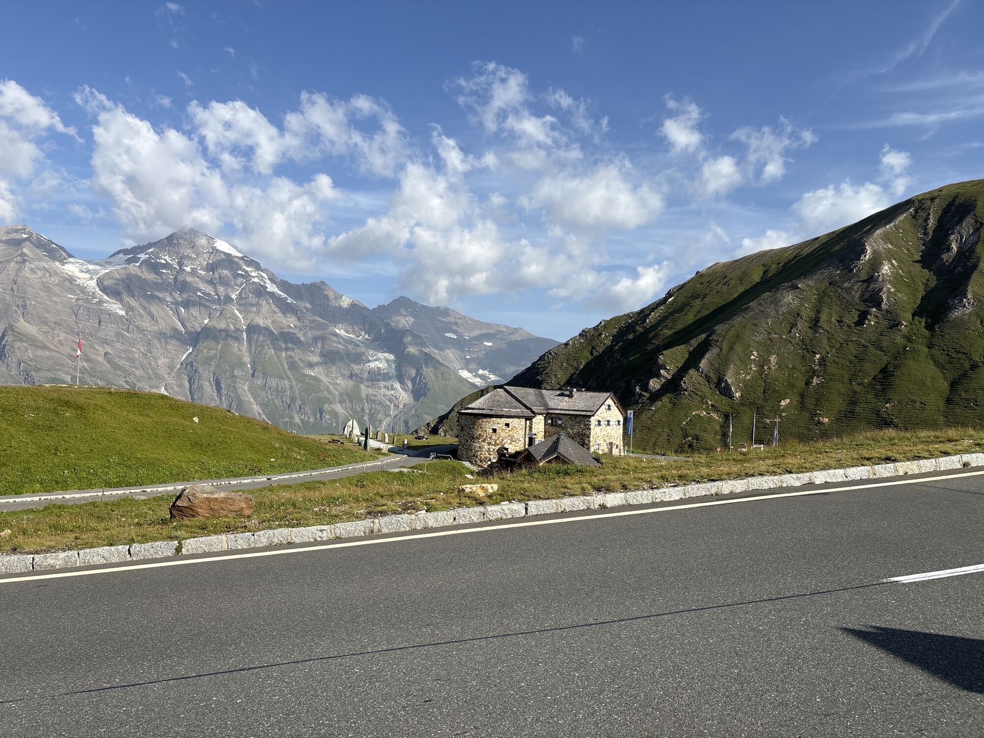
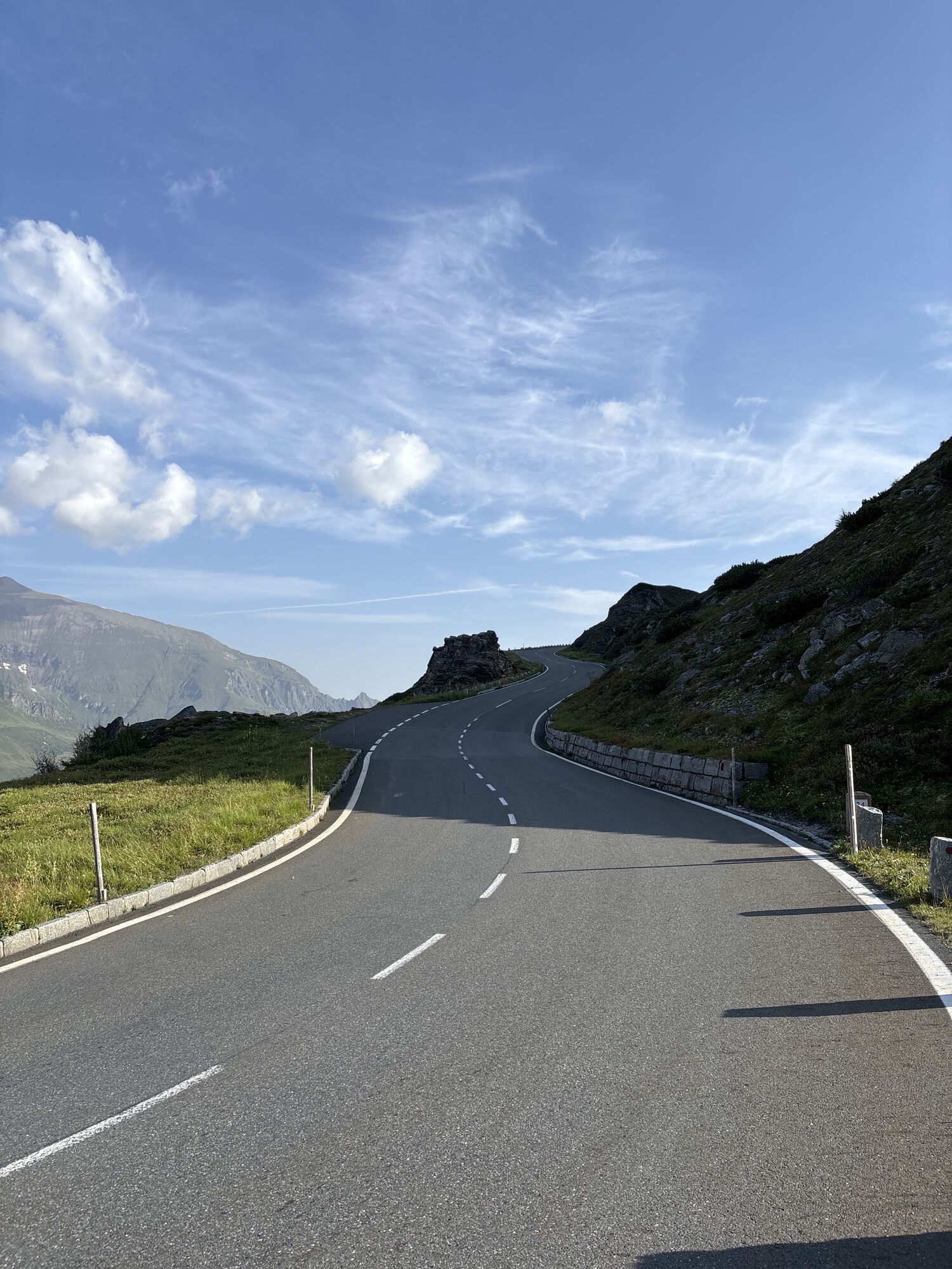
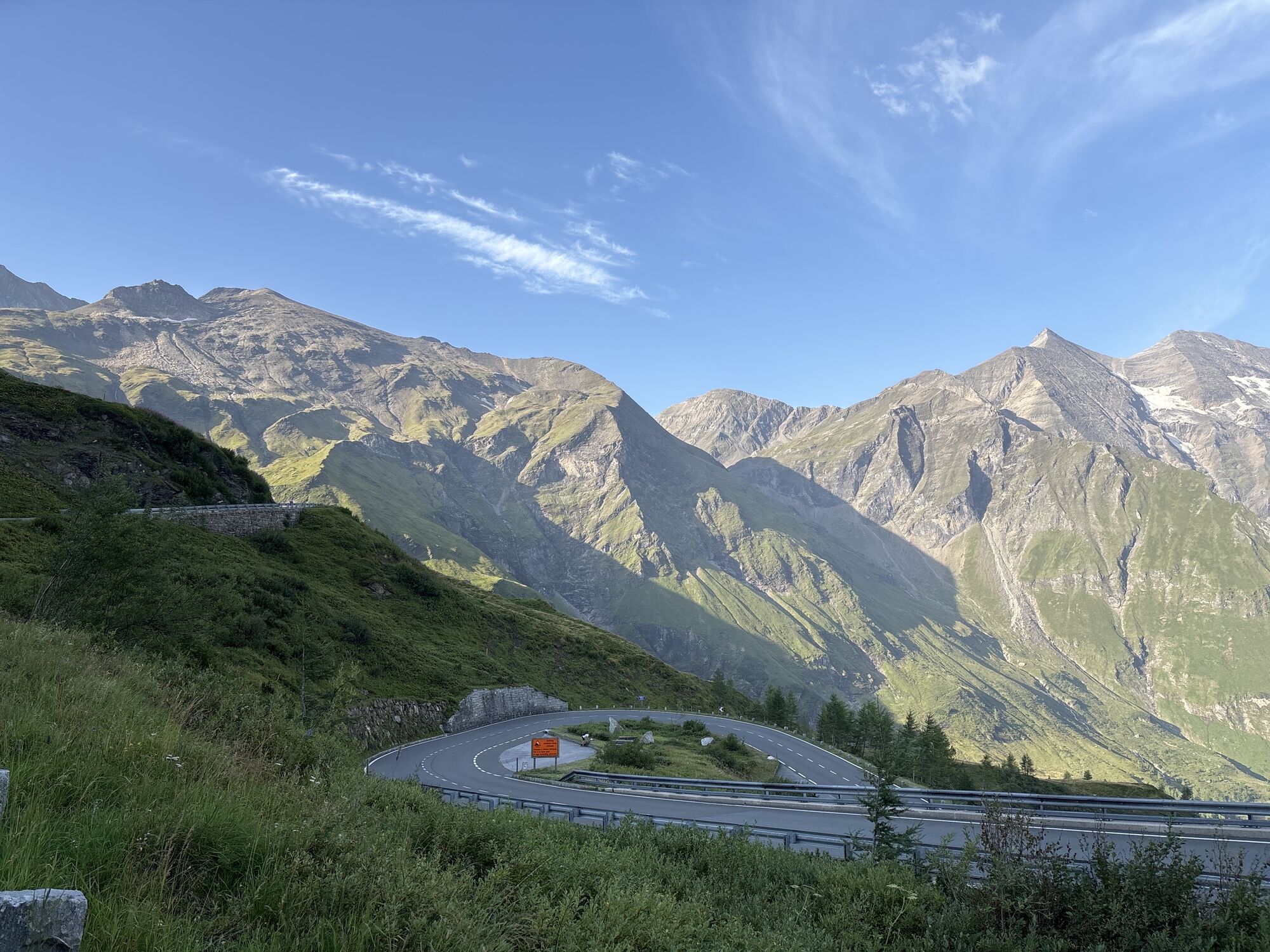
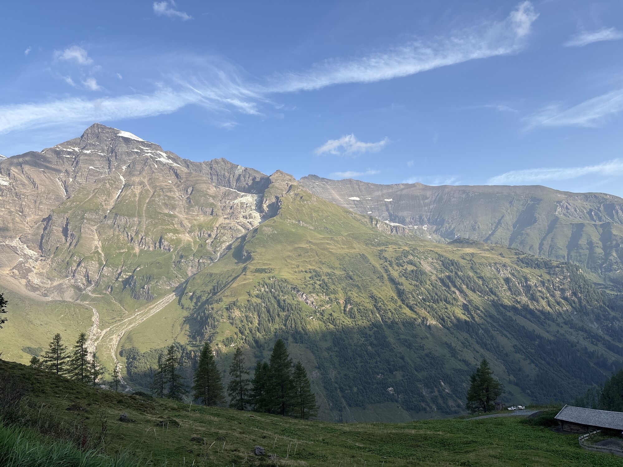
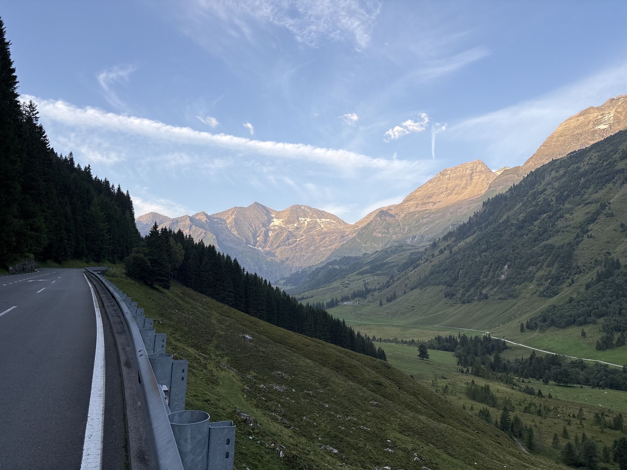

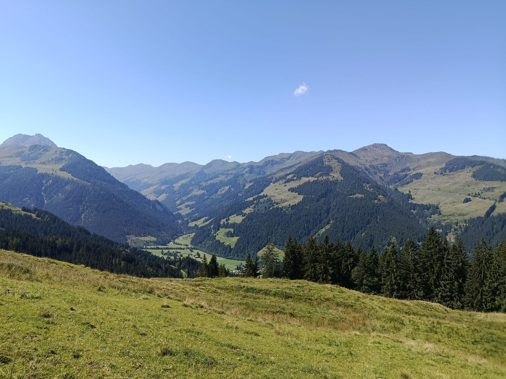
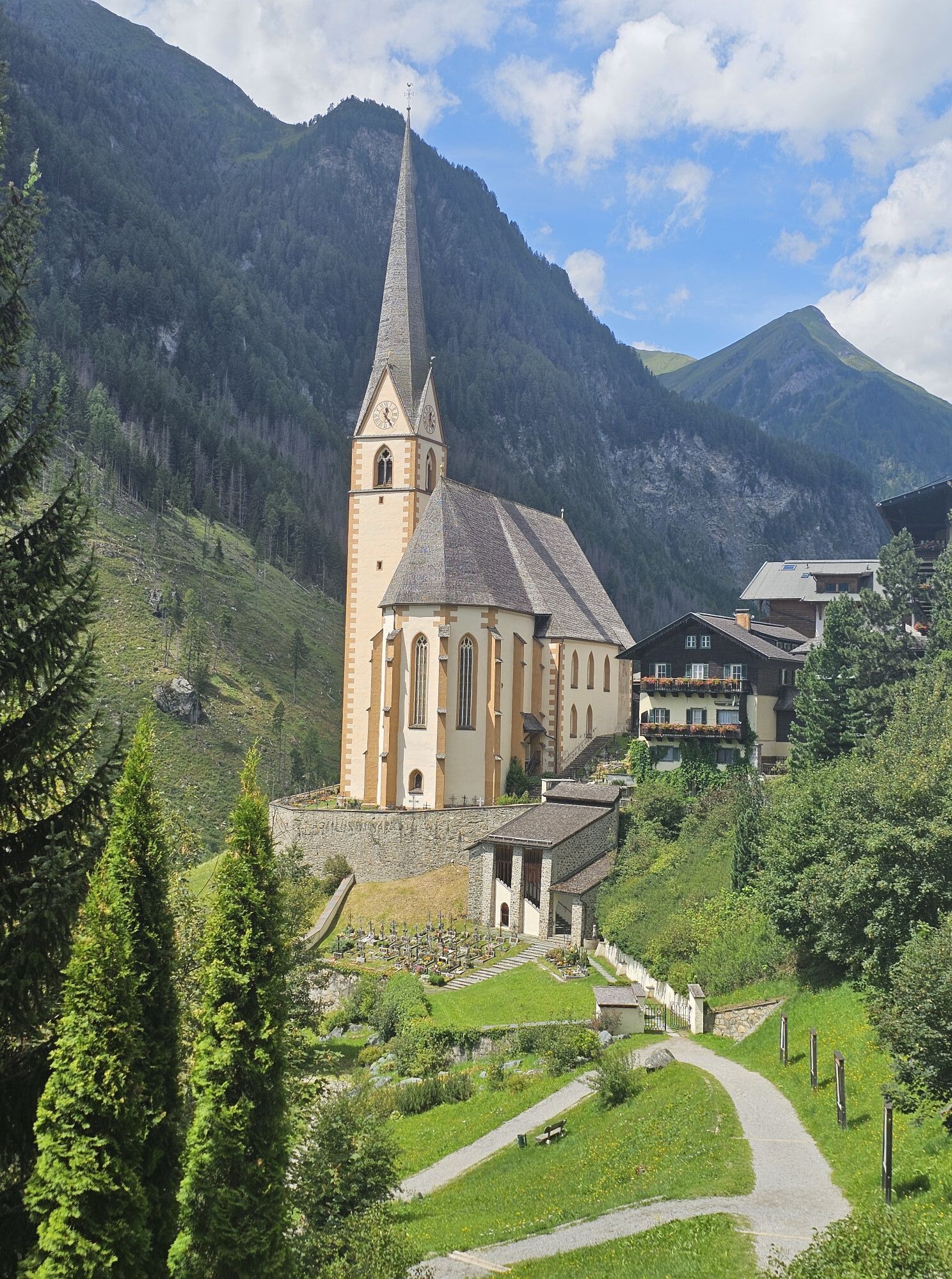
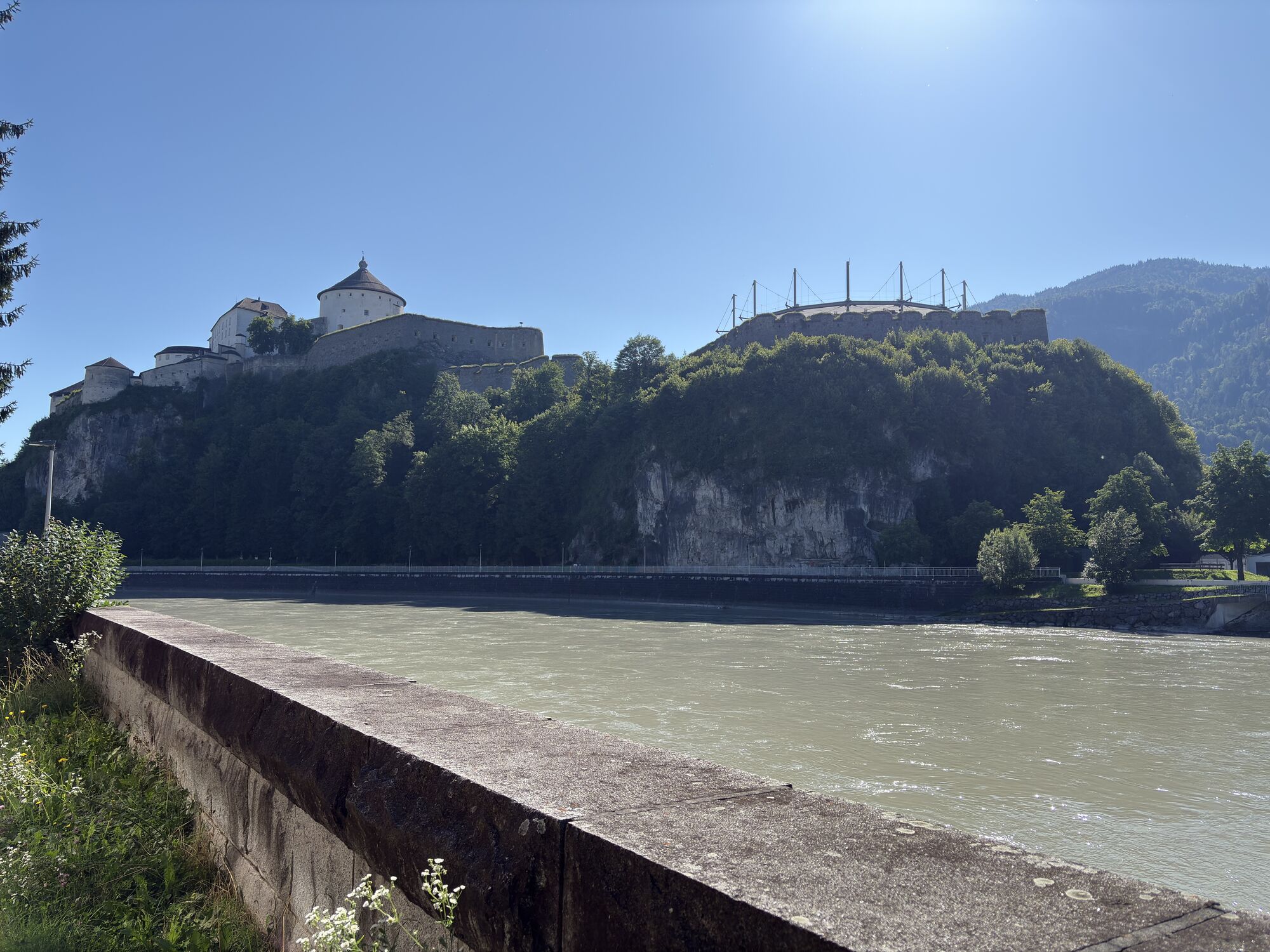
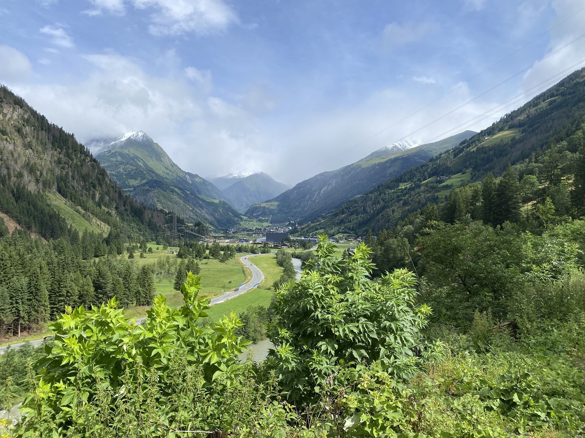
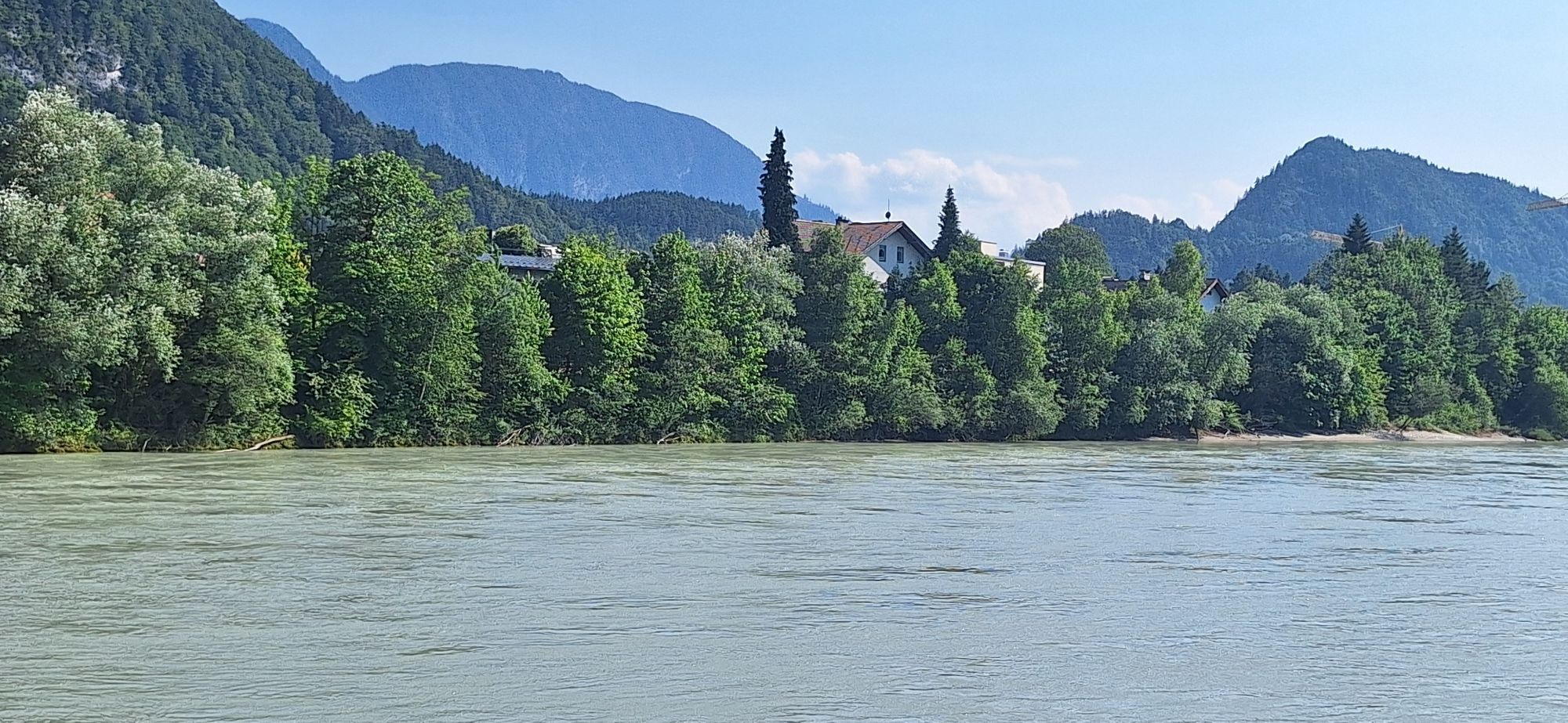
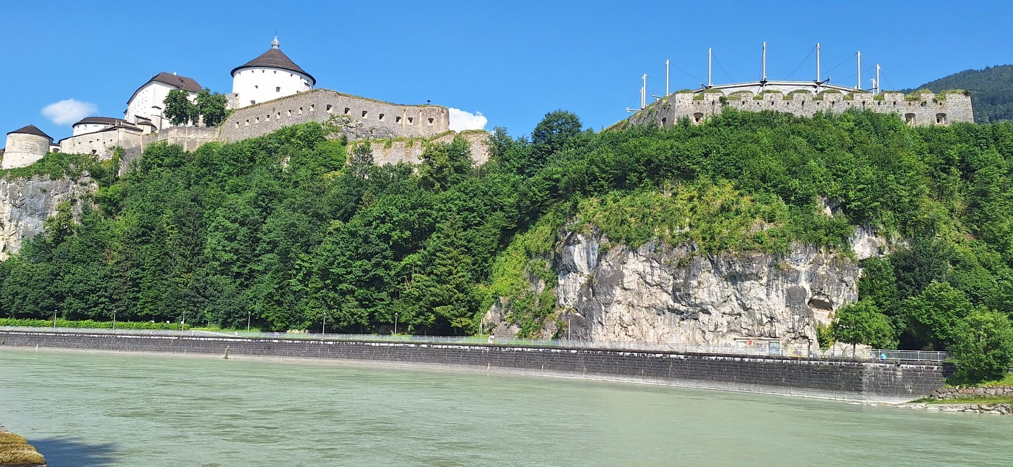
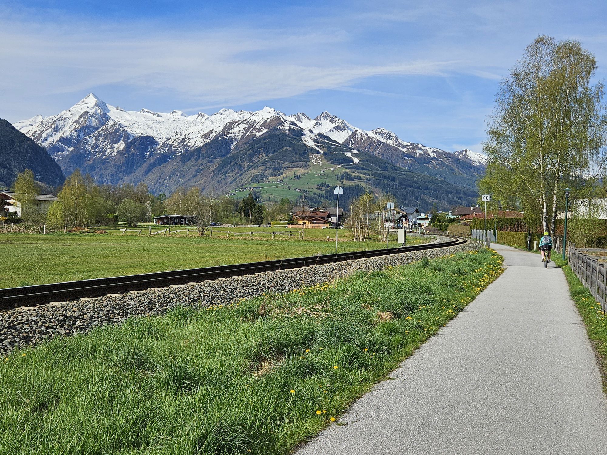
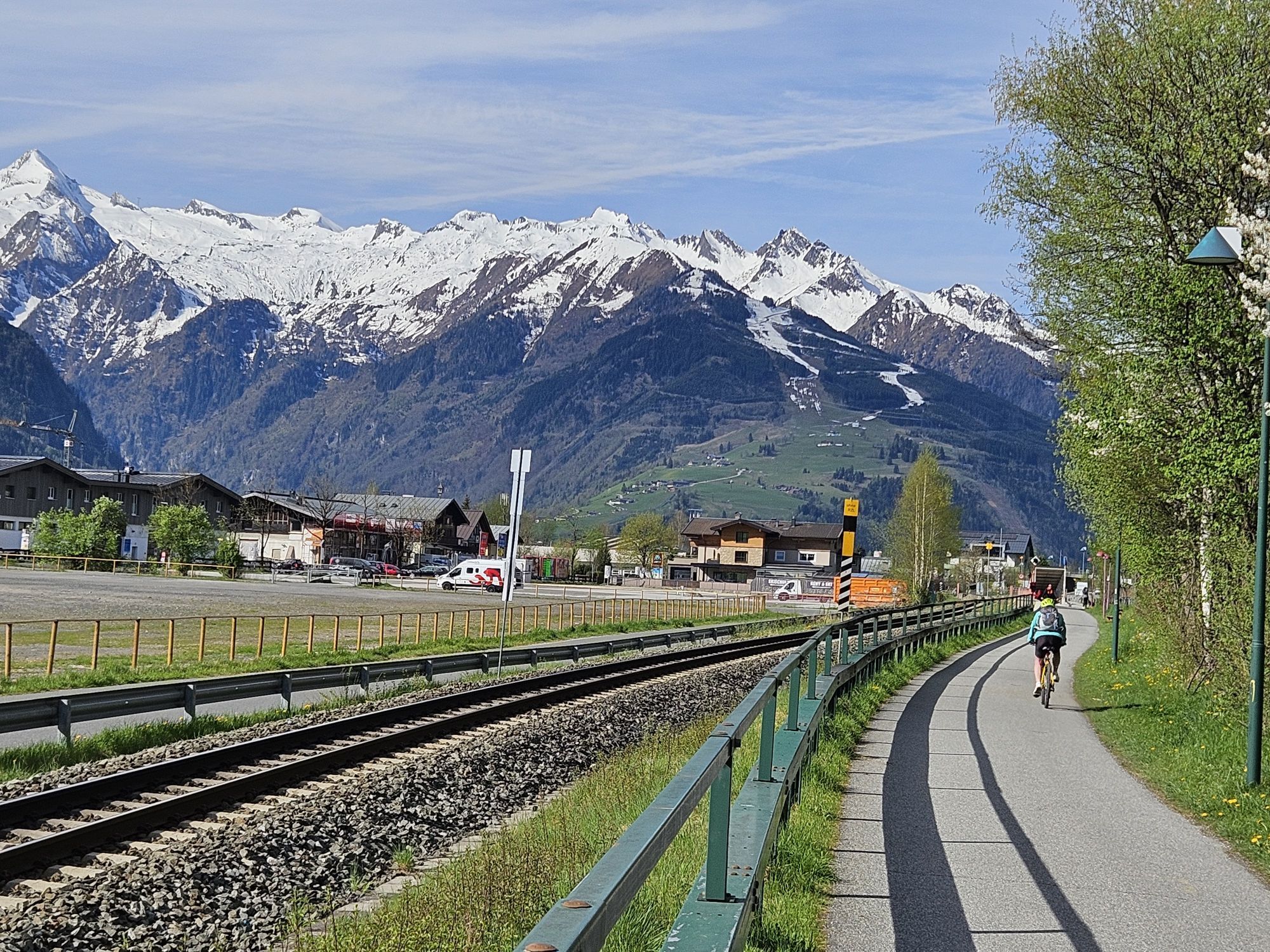
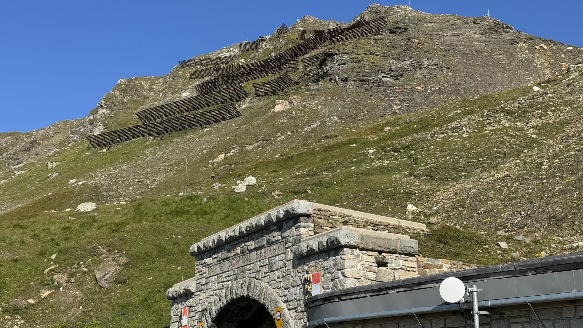
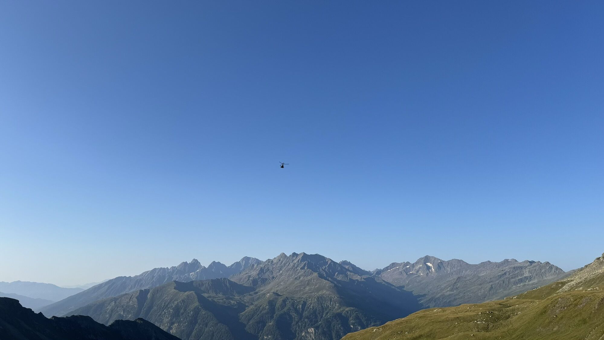
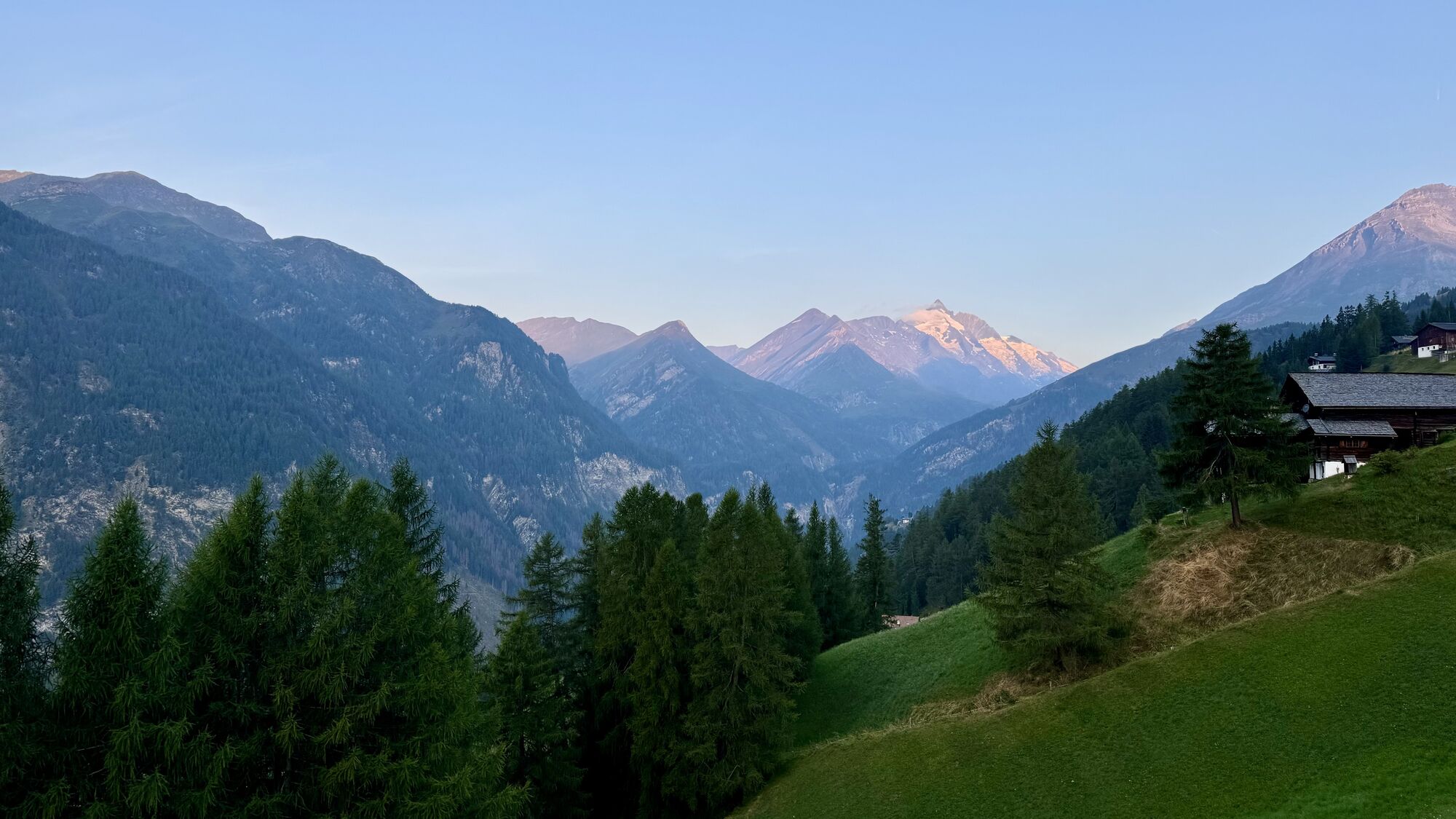

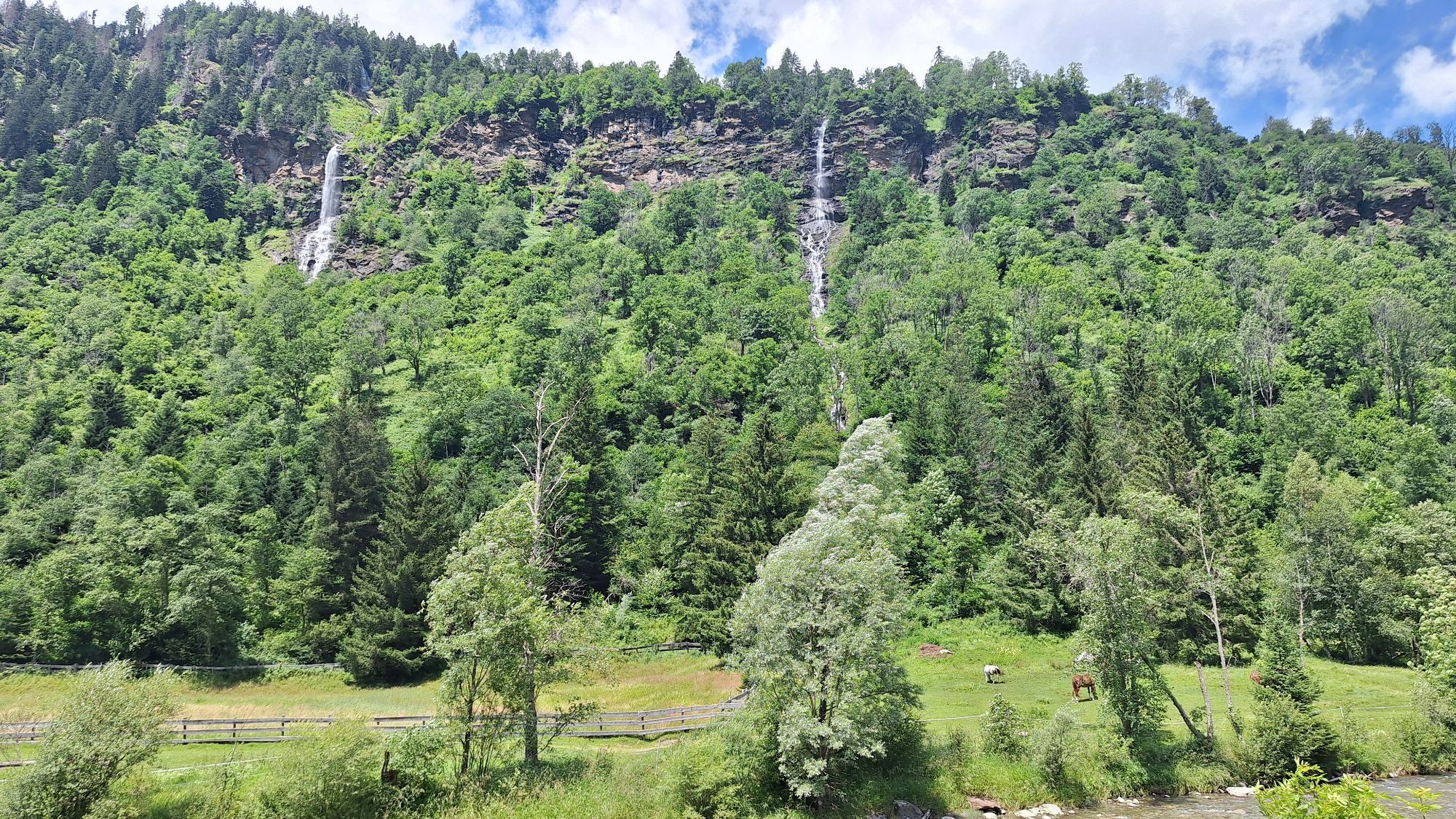
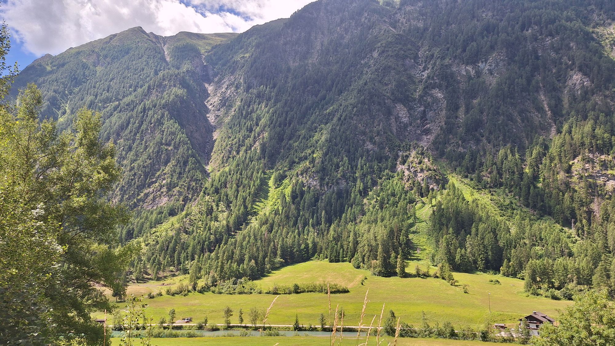
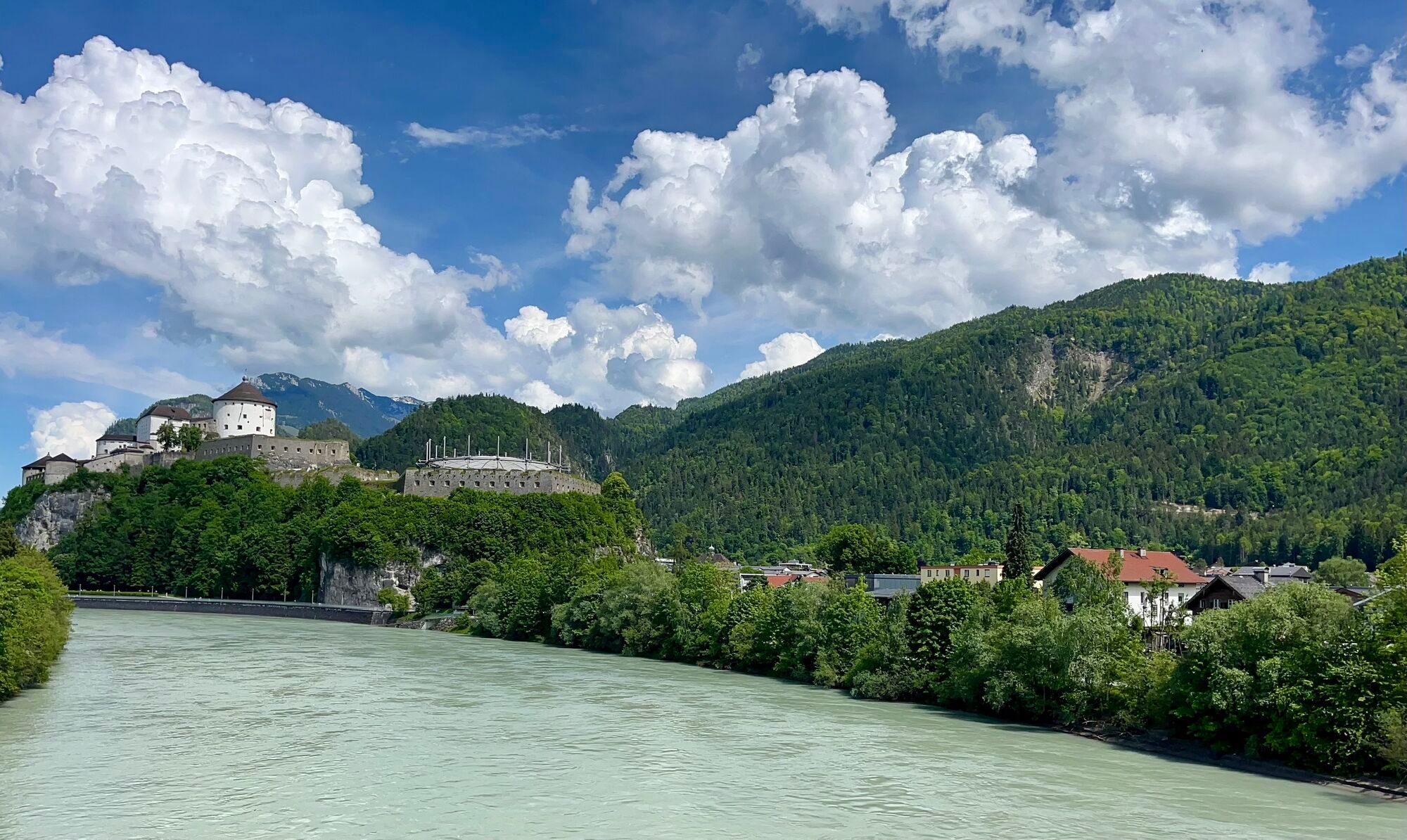
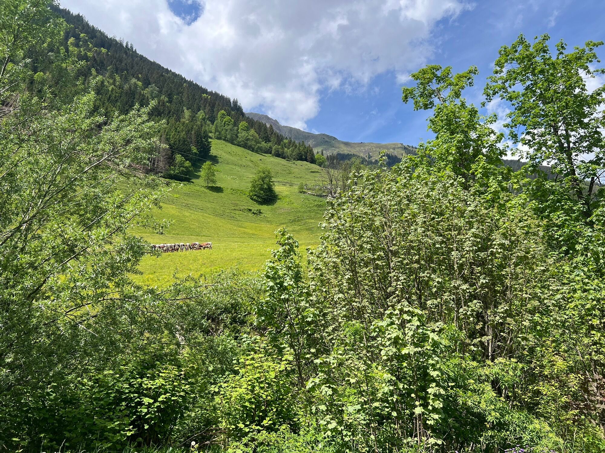
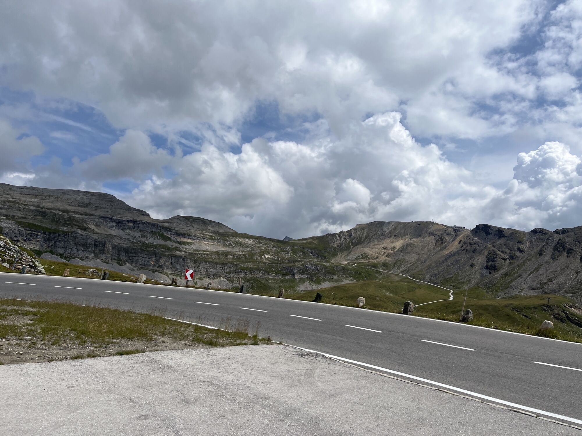
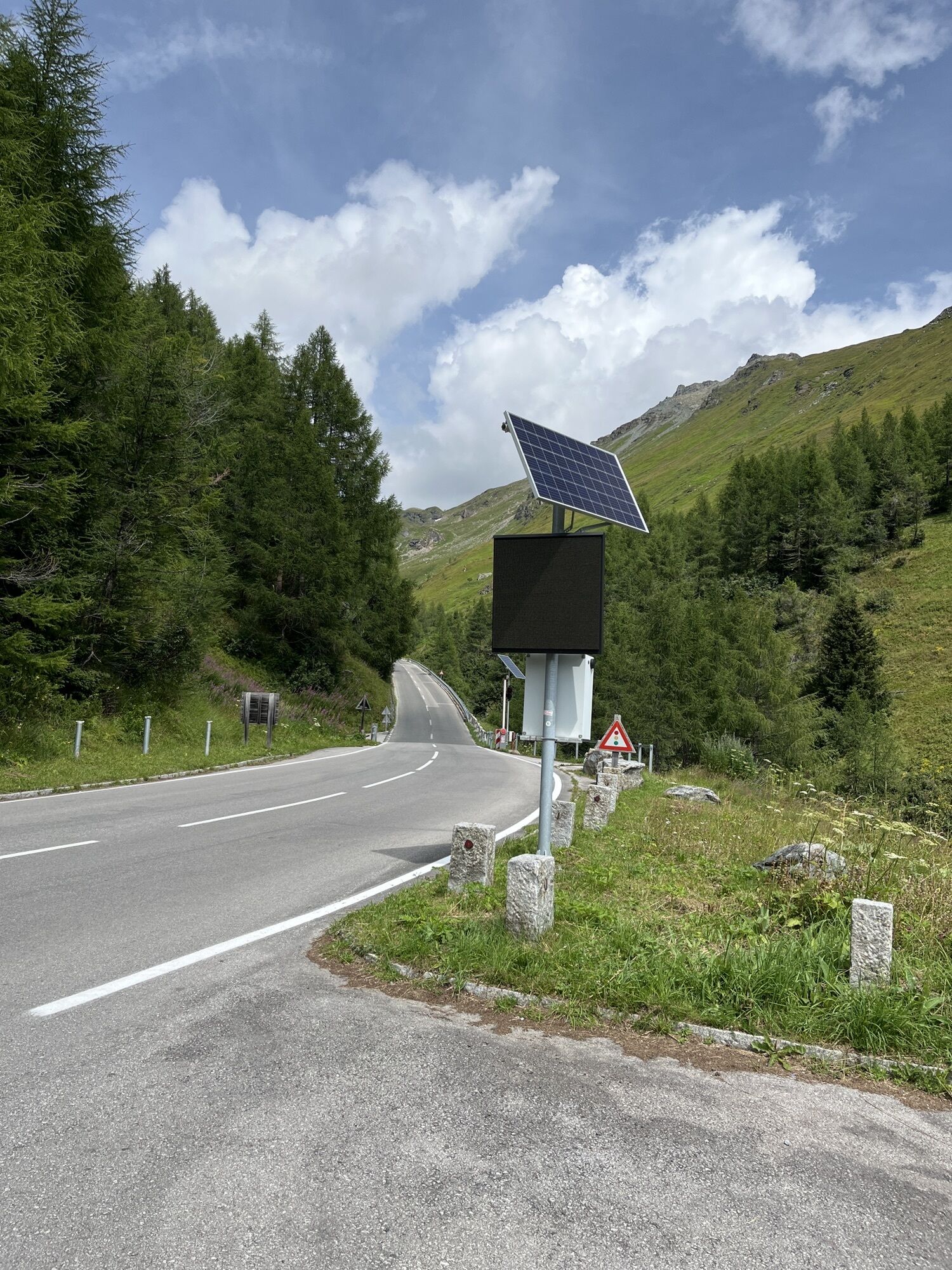
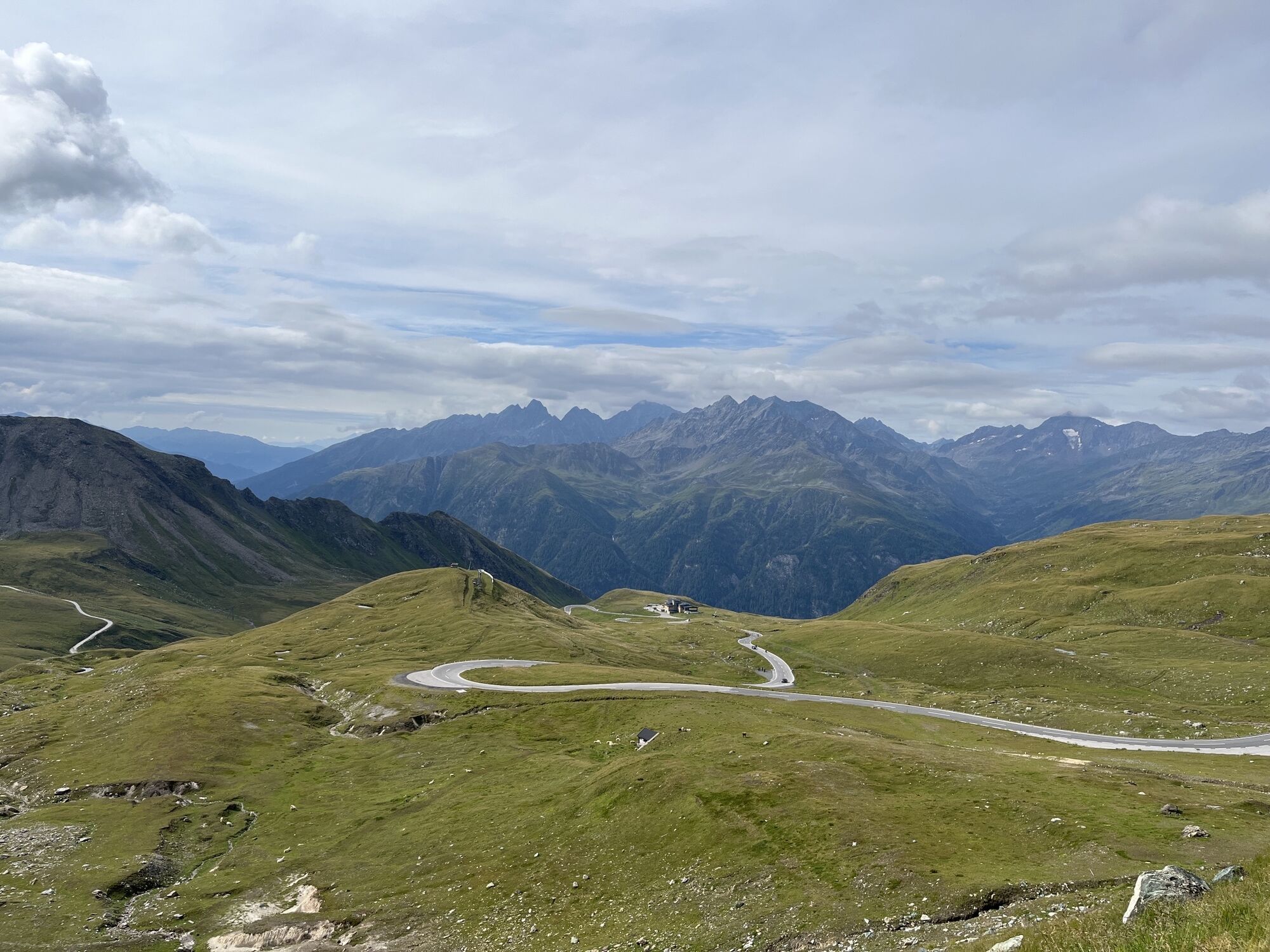
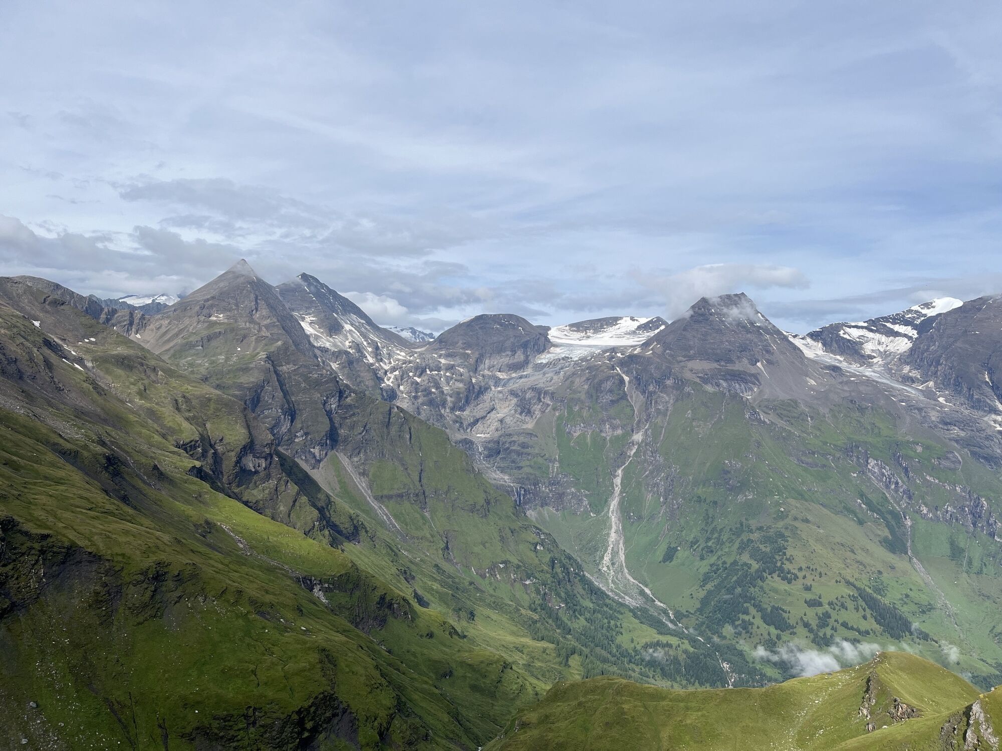
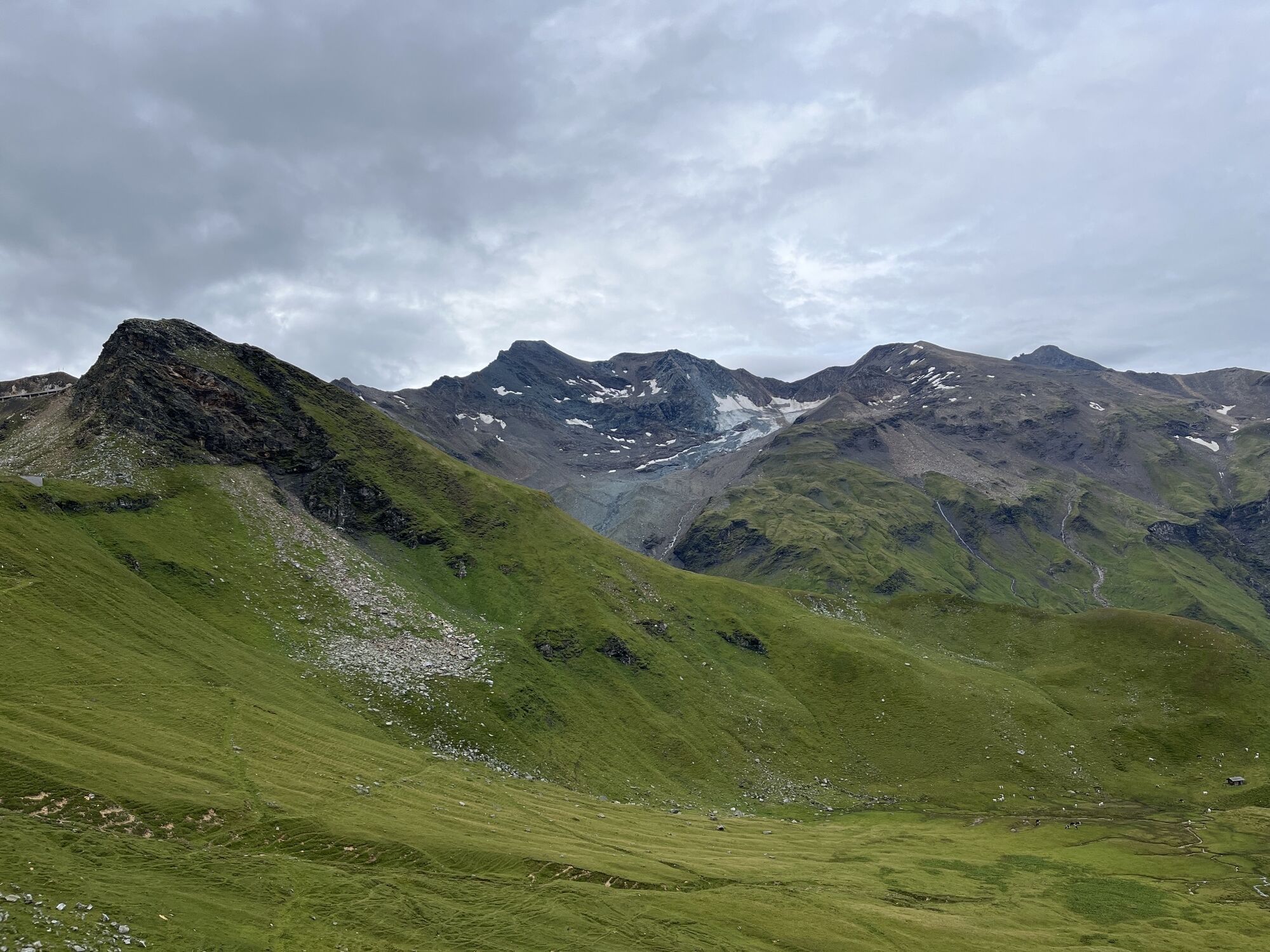
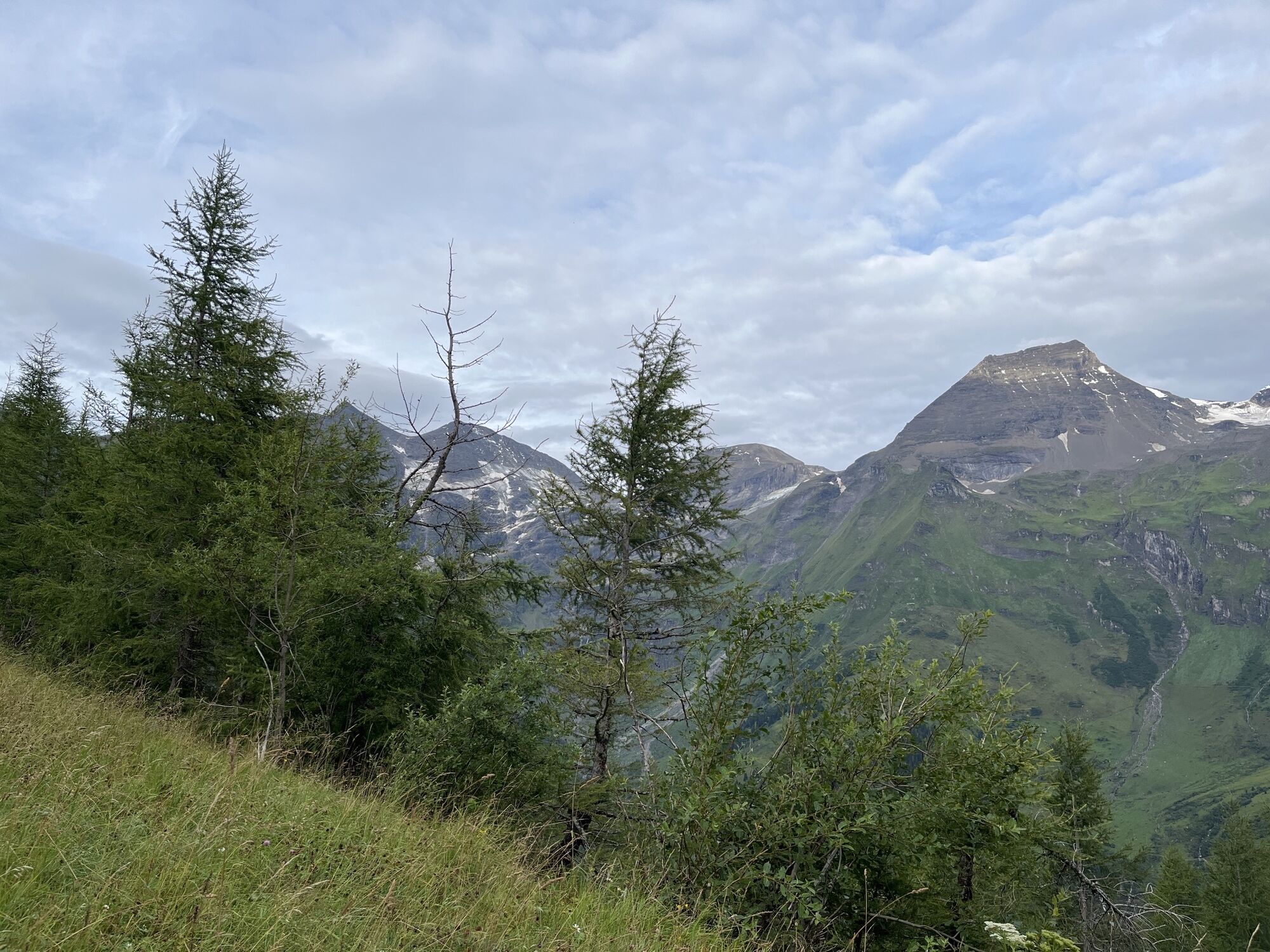
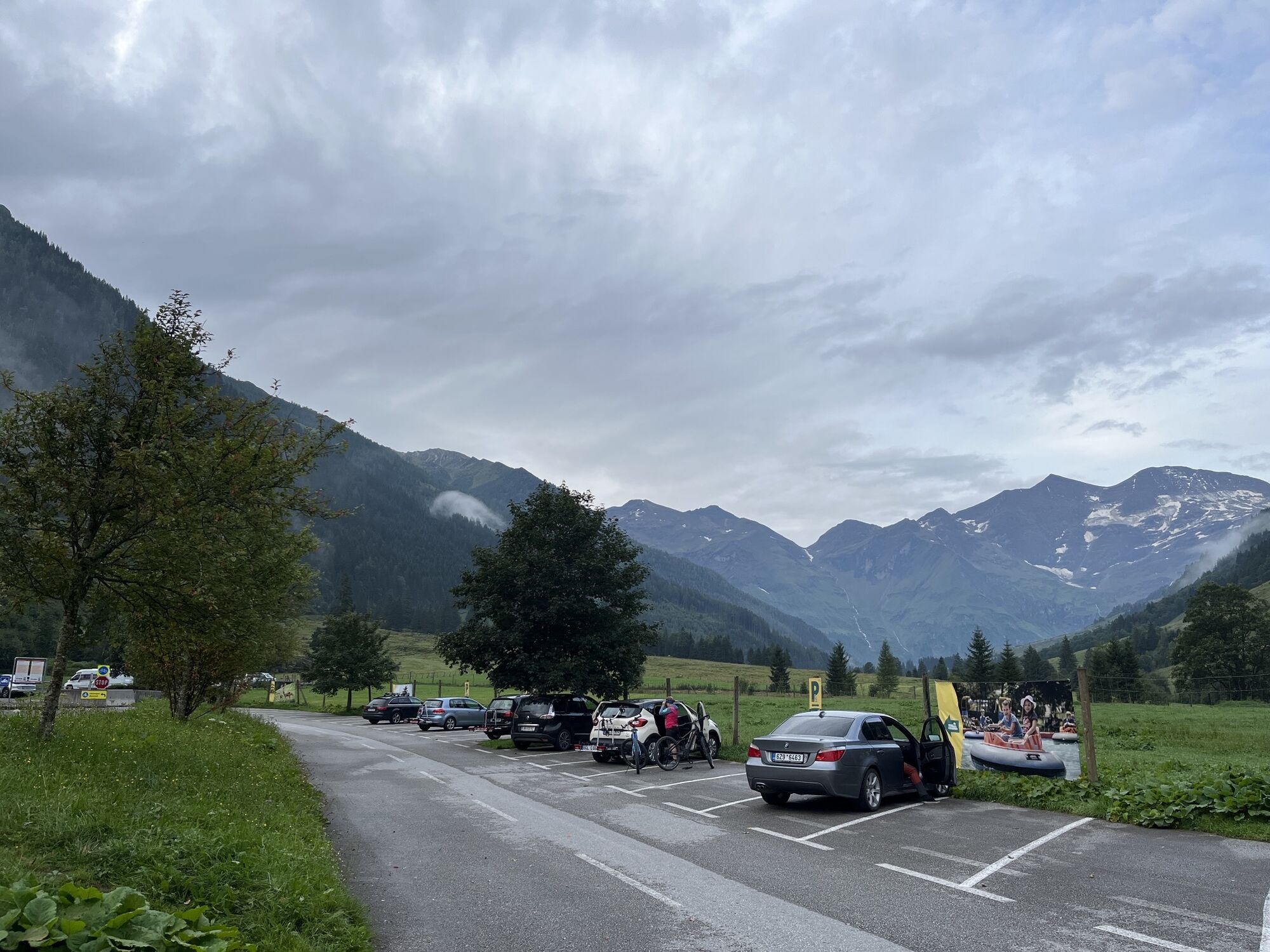
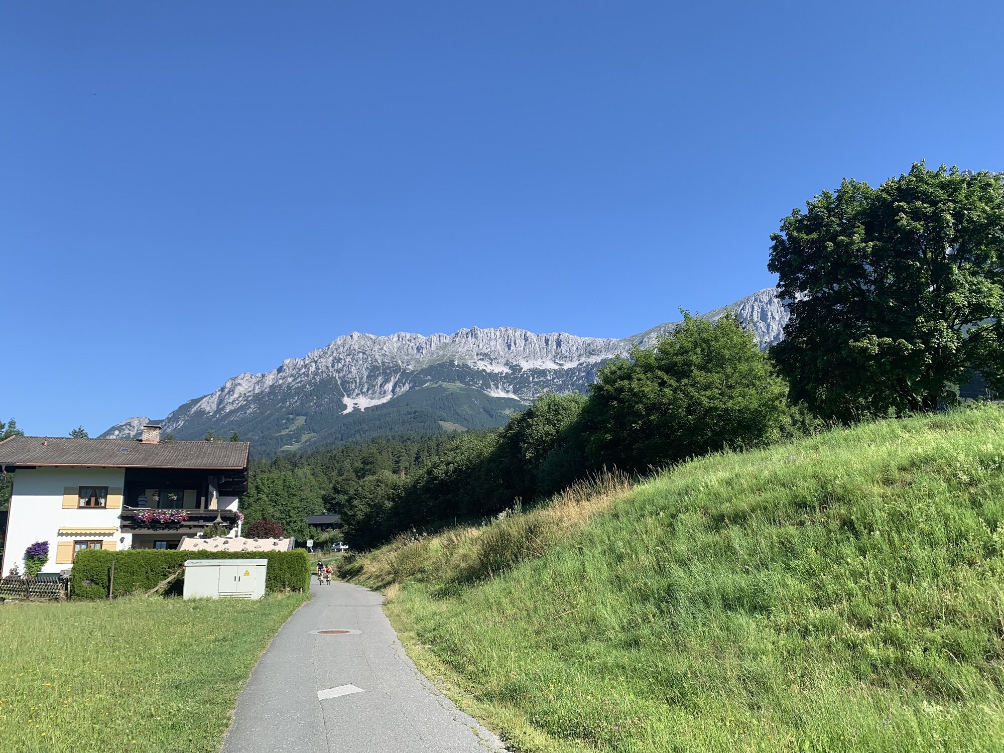
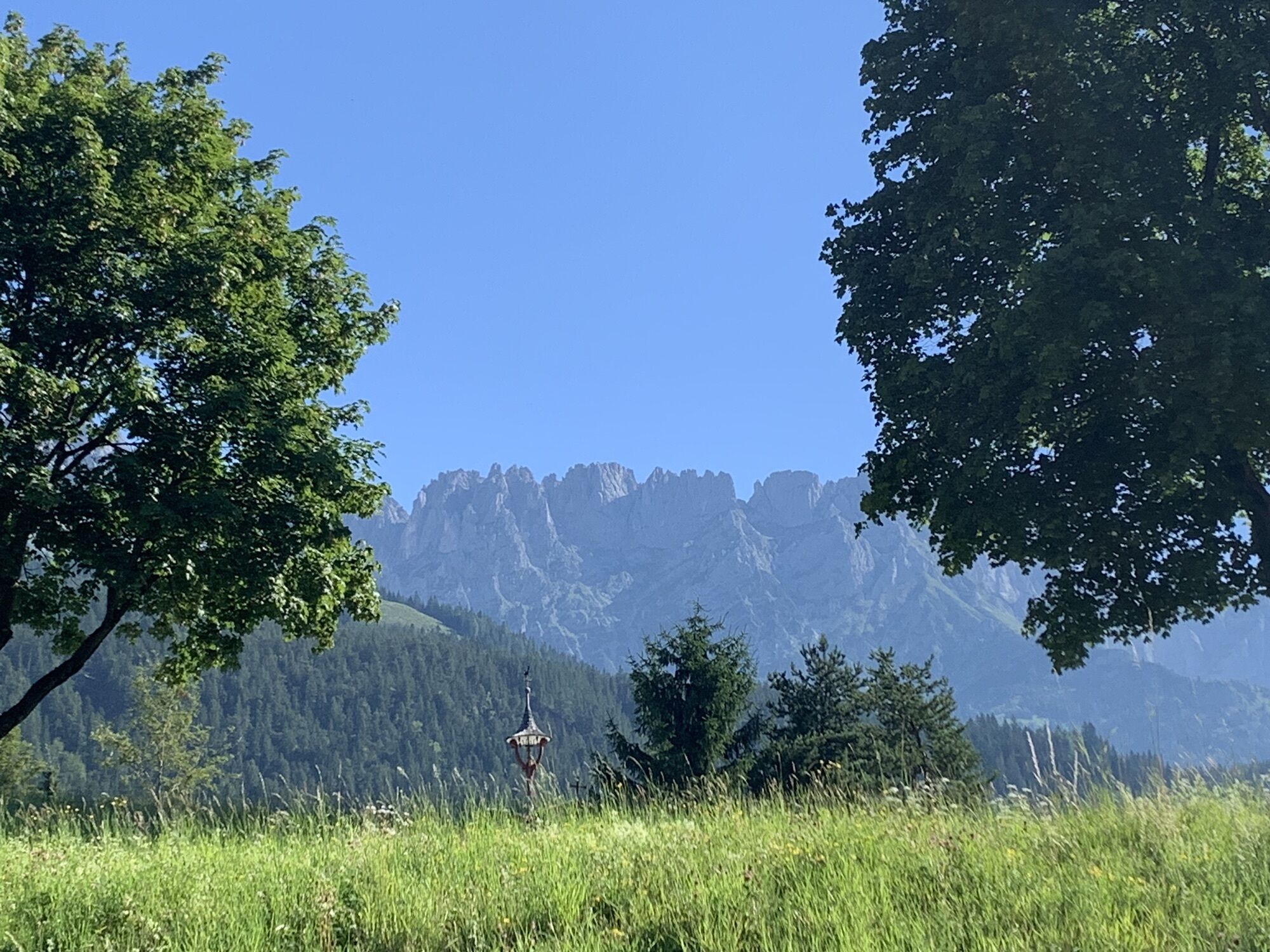
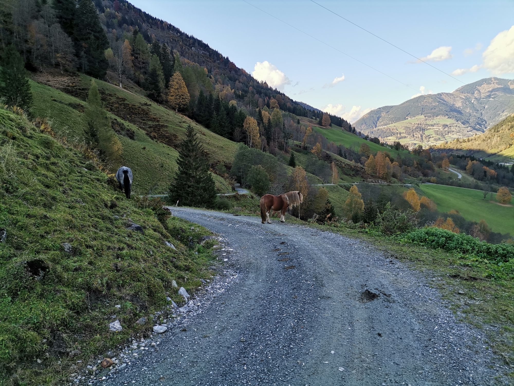
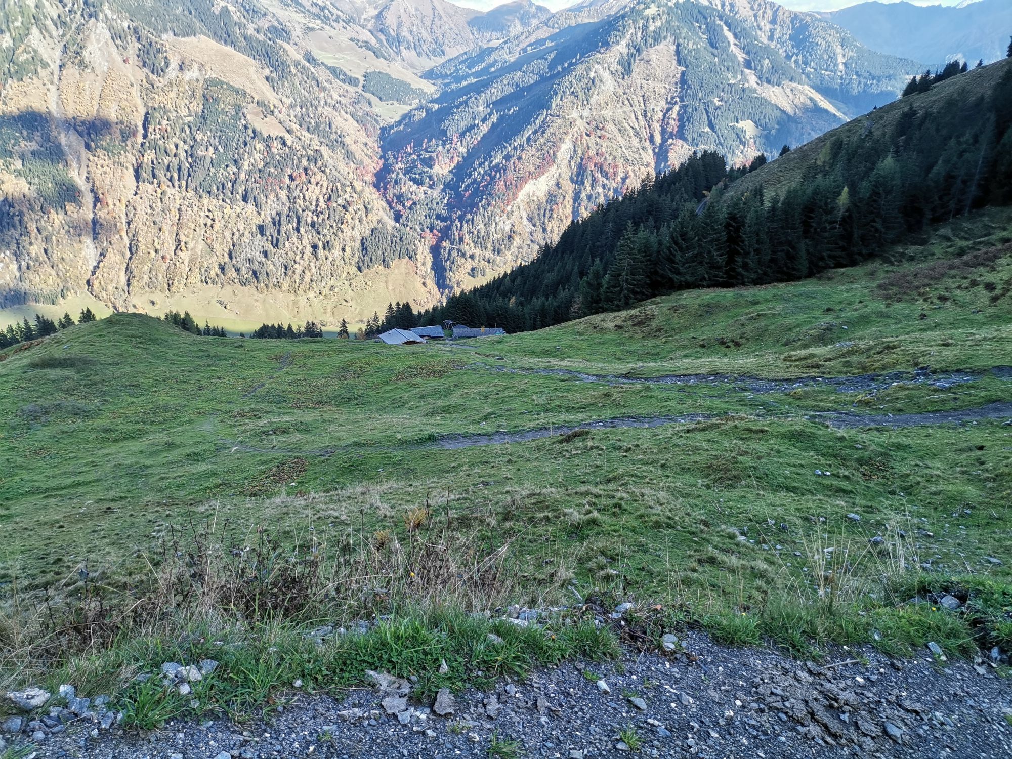
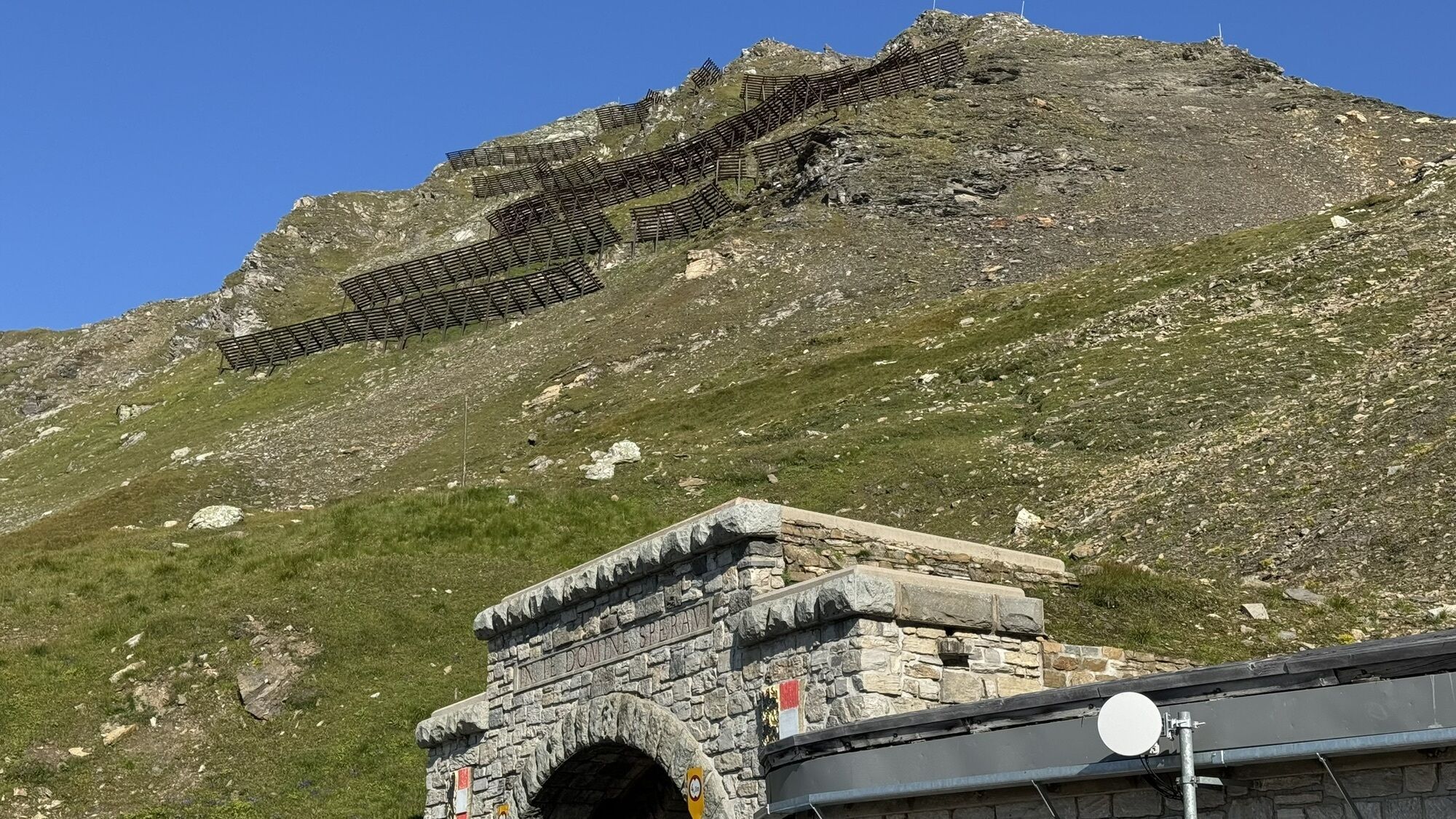
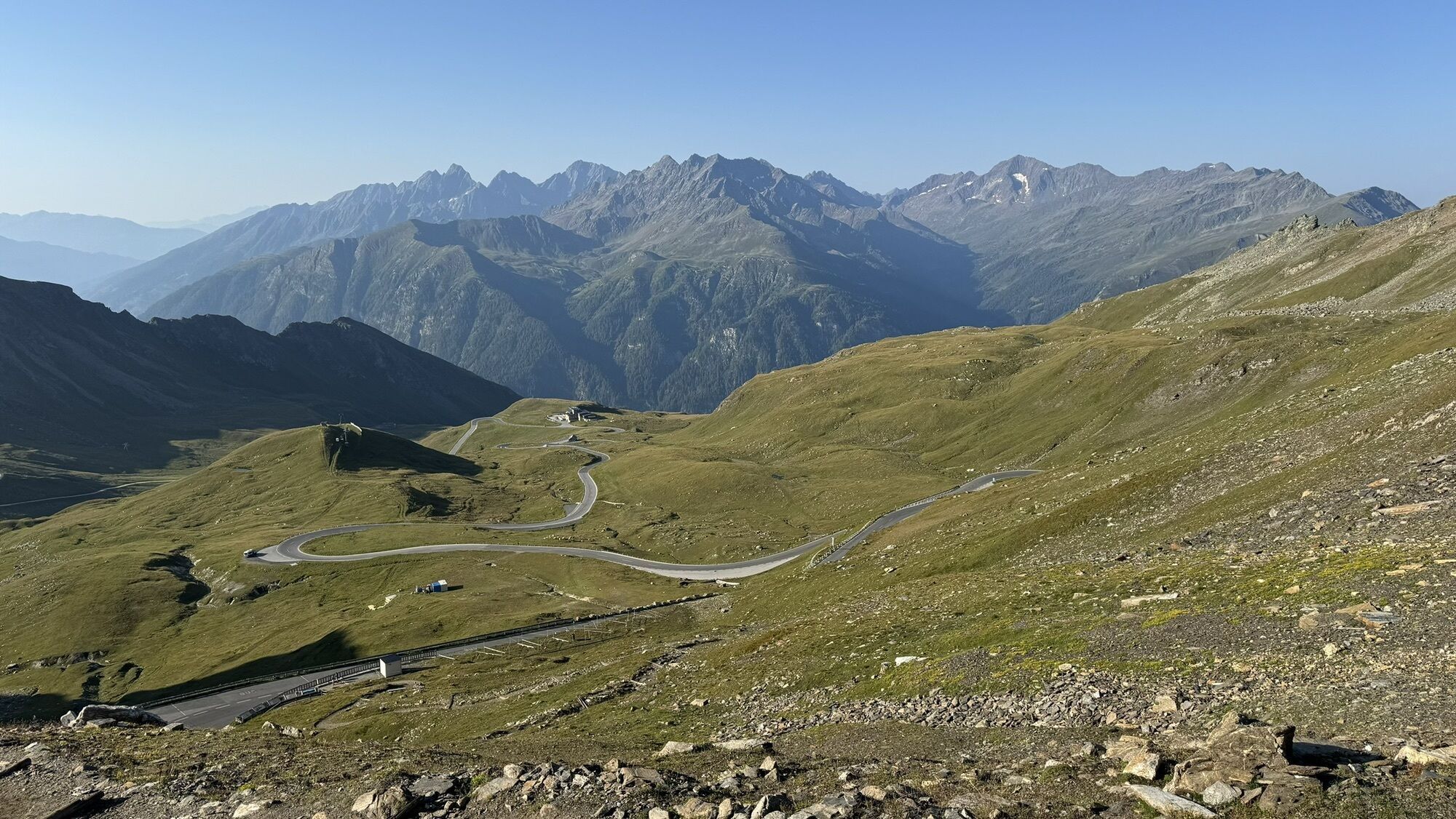
The tour starts from Kufstein via Scheffau to Kitzbühel. Continue via Pass Thurn. Now descend to Mittersill, heading to Zell am See and on the flat section to Fusch. Having reached the high alpine road...
The tour starts from Kufstein via Scheffau to Kitzbühel. Continue via Pass Thurn. Now descend to Mittersill, heading to Zell am See and on the flat section to Fusch. Having reached the high alpine road your muscles burn during the continuous 15% gradient. From the summit, proceed on a sharp descent into the valley and less steeply to the Iselsberg Pass, where you’ll climb 300 metres up again. Now down to Lienz in Drautal. Then, 1000 metres of climbing and 30 kilometres later you reach the Felbertauern tunnel. Use the bus shuttle service. After the descent to Mittersill, do the last climb to Pass Thurn. All you have to do now is roll down to Kitzbühel and back to Kufsteinerland.

Cycling helmet, comfortable cycling clothing, change of clothes, wind protection, cycling gloves, possibly rucksack with water bottle and food, first aid equipment, possibly service/repair kit, cycling map, tour description and information material (GPX track), ID card, insurance card, cash
From the Inntal motorway A12, take the Kufstein Nord exit.
Kufstein main railway station is only a few minutes' walk from the starting point.
Kufstein centre
Beliebte Touren in der Nähe
- 4,9
Wangennitzsee Hütte
mittelWanderung 3,80 km - 5,0
Ederplan Runde vom Parkplatz Stronach
mittelWanderung 7,19 km - 4,8
Hohe Sonnblick Up
schwerWanderung 9,14 km - 4,8
Glödis 3206m: PP Seichenbrunn, Lienzer Hütte, Glödis KS A/B
schwerHochtour 16,1 km - 4,3
Böses Weibele, 3119m, Lucknerhaus
schwerWanderung 13,8 km - 4,9
Schareck über Ostgrat
schwerHochtour 13,3 km - 4,2
Gradental zur Adolf Nossberger Hütte - Rundweg
mittelWanderung 11,1 km - 4,7
Lienzer Hütte
leichtWanderung 7,39 km - 4,9
Astental: Mohar, Moharkreuz
mittelWanderung 9 km - 4,2
Straßkopf
mittelWanderung 4,06 km
Wandern & Tracking


Verpasse keine Angebote und Inspirationen für deinen nächsten Urlaub
Deine E-Mail-Adresse wurde in den Verteiler eingetragen.
