


From KaiserWelt to the Hexenwasser theme park
Fotos unserer User
 © Willy 11Erstellt am 14.08.2025
 © Sandra WyssErstellt am 30.07.2023
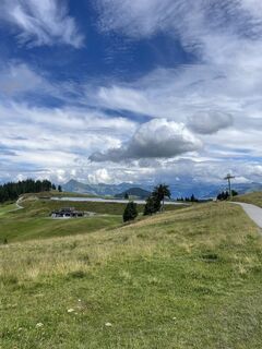 © Sandra WyssErstellt am 30.07.2023
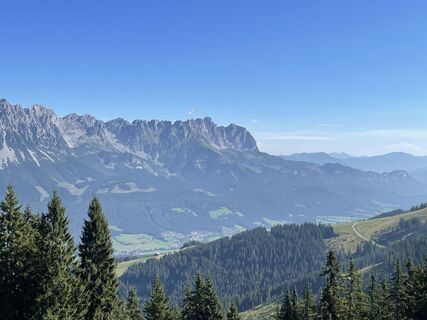 © Stefan MangoldErstellt am 25.08.2022
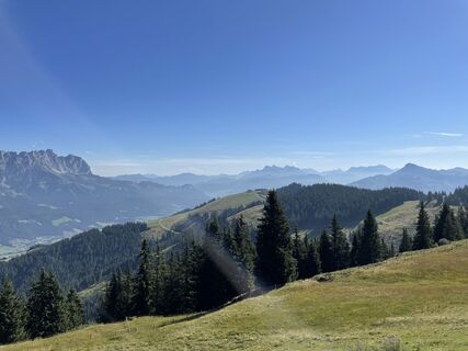 © Stefan MangoldErstellt am 25.08.2022
 © Stefan MangoldErstellt am 25.08.2022
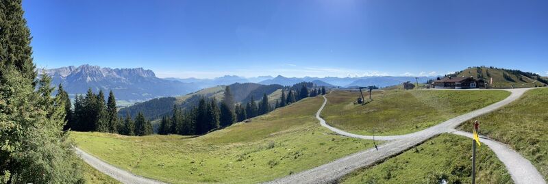 © Stefan MangoldErstellt am 25.08.2022
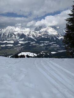 © Maxi_RadiErstellt am 03.04.2026
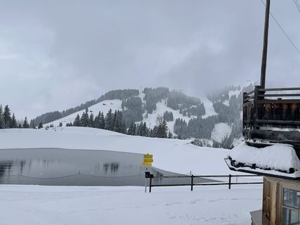
 © ໓คຖiēlErstellt am 01.04.2026
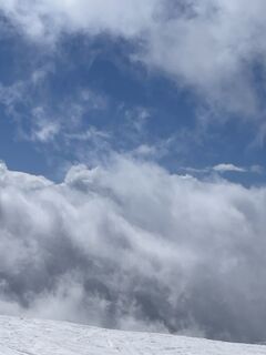 © ໓คຖiēlErstellt am 30.03.2026
 © Thore GuseErstellt am 03.03.2026
 © Elisa BüchnerErstellt am 28.02.2026
 © Darjan GantarErstellt am 19.02.2026
 © Familie LambooErstellt am 18.02.2026
 © Familie LambooErstellt am 18.02.2026
 © Ilma BegovicErstellt am 12.02.2026
 © Ilma BegovicErstellt am 12.02.2026
 © Nils WasiakErstellt am 10.02.2026
 © Ilma BegovicErstellt am 08.02.2026
 © Ilma BegovicErstellt am 08.02.2026
 © Ilma BegovicErstellt am 08.02.2026
 © Bernd MasanetzErstellt am 07.02.2026
 © Ilma BegovicErstellt am 06.02.2026
 © Ben TaErstellt am 05.02.2026
 © Stefan BoonErstellt am 30.01.2026
 © Stefan BoonErstellt am 30.01.2026
 © Stefan BoonErstellt am 30.01.2026
 © Martin TomannErstellt am 30.01.2026
 © Max SchmittErstellt am 28.01.2026
 © Max SchmittErstellt am 28.01.2026
 © Oskar PomiarowskiErstellt am 28.01.2026
 © Barbara UnglaubErstellt am 28.01.2026
 © Barbara UnglaubErstellt am 28.01.2026
 © Barbara UnglaubErstellt am 28.01.2026
 © Christoph SchumpaErstellt am 23.01.2026
 © Itamar AxelradErstellt am 21.01.2026
 © Philipp AntczakErstellt am 21.01.2026
 © Itamar AxelradErstellt am 21.01.2026
 © Itamar AxelradErstellt am 20.01.2026
 © Itamar AxelradErstellt am 20.01.2026
 © Henning HölscherErstellt am 19.01.2026
 © SyhroxErstellt am 13.01.2026
 © Bernd MasanetzErstellt am 10.01.2026
 © S S 7Erstellt am 06.01.2026
 © S S 7Erstellt am 06.01.2026
 © S S 7Erstellt am 06.01.2026
 © ໓คຖiēlErstellt am 03.01.2026
 © Andreas RErstellt am 14.08.2025

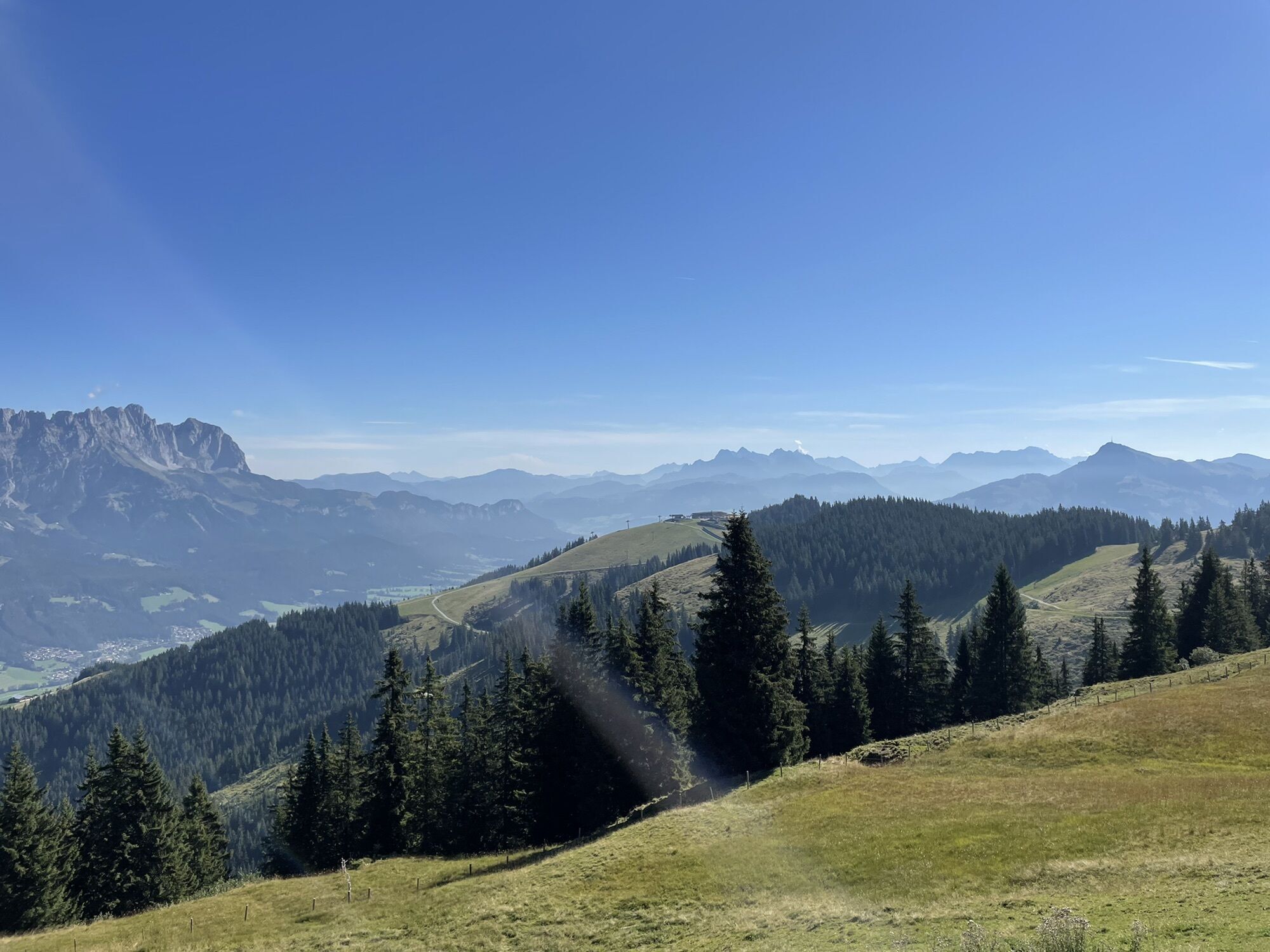
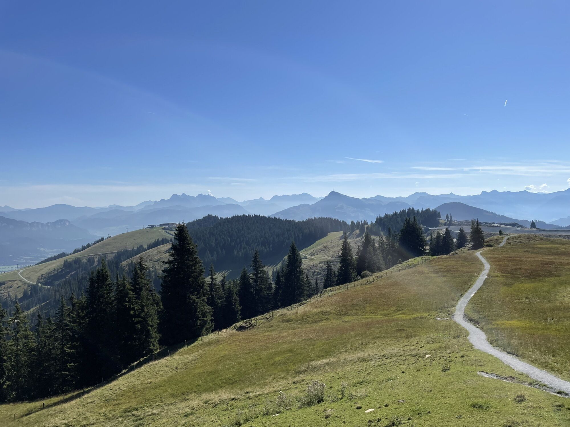

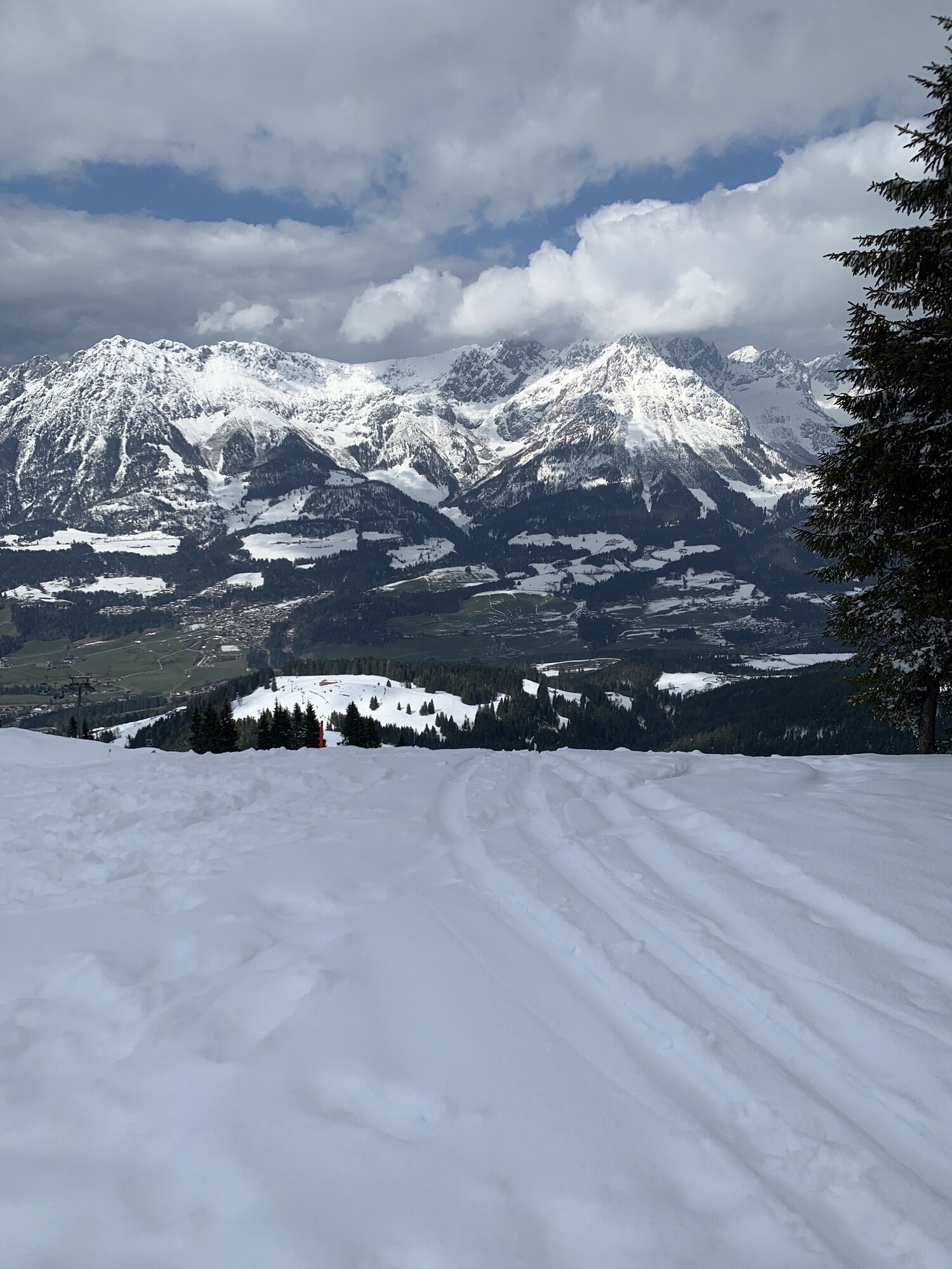
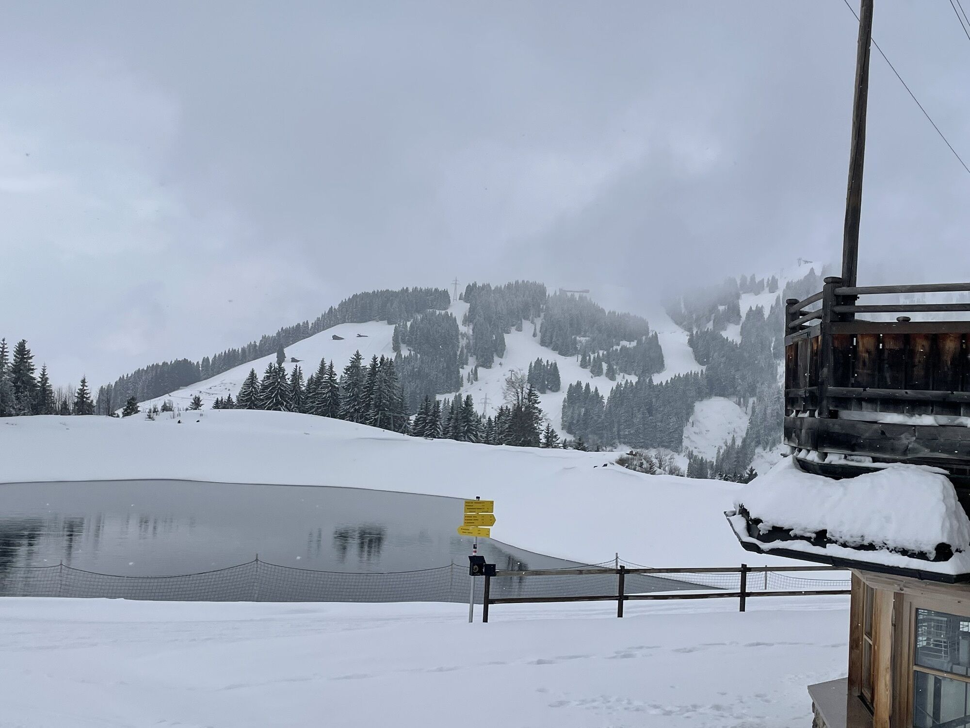


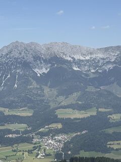
The hike starts at the KaiserWelt Scheffau, a large play area with adventure forest at an altitude of 1.650 m. It is located directly at the mountain station of the Brandstadlbahn cable car in Scheffau...
The hike starts at the KaiserWelt Scheffau, a large play area with adventure forest at an altitude of 1.650 m. It is located directly at the mountain station of the Brandstadlbahn cable car in Scheffau and the Brandstadl mountain restaurant. After the ascent with the gondola and a tour through the KaiserWelt, follow the signs to Hochbrixen and Filzalmsee (path no.99). On the way there you pass the Tanzbodenalm, Jochstub’n & Brantlalm. From Filzalmsee and the "RiesenWelt", continue on hiking trail no.99 to Hexenwasser Hochsöll. There are several places to stop for refreshments and many adventure stations invite you to linger and cool off. From Hexenwasser you can take the gondola down to the valley and take the free hiking bus KaiserJet back to Scheffau to the starting point.
Tip: To shorten the downhill route, you can also use the Zinsbergbahn cable car to get from the Zinsberg (approx. 15 minutes from Jochstub’n See) directly down to the Filzalmsee. This shortens the total walking time by approx. 1 hour.
Those who prefer to go uphill rather than downhill can also walk the tour in reverse from Hexenwasser Hochsöll to KaiserWelt Scheffau.
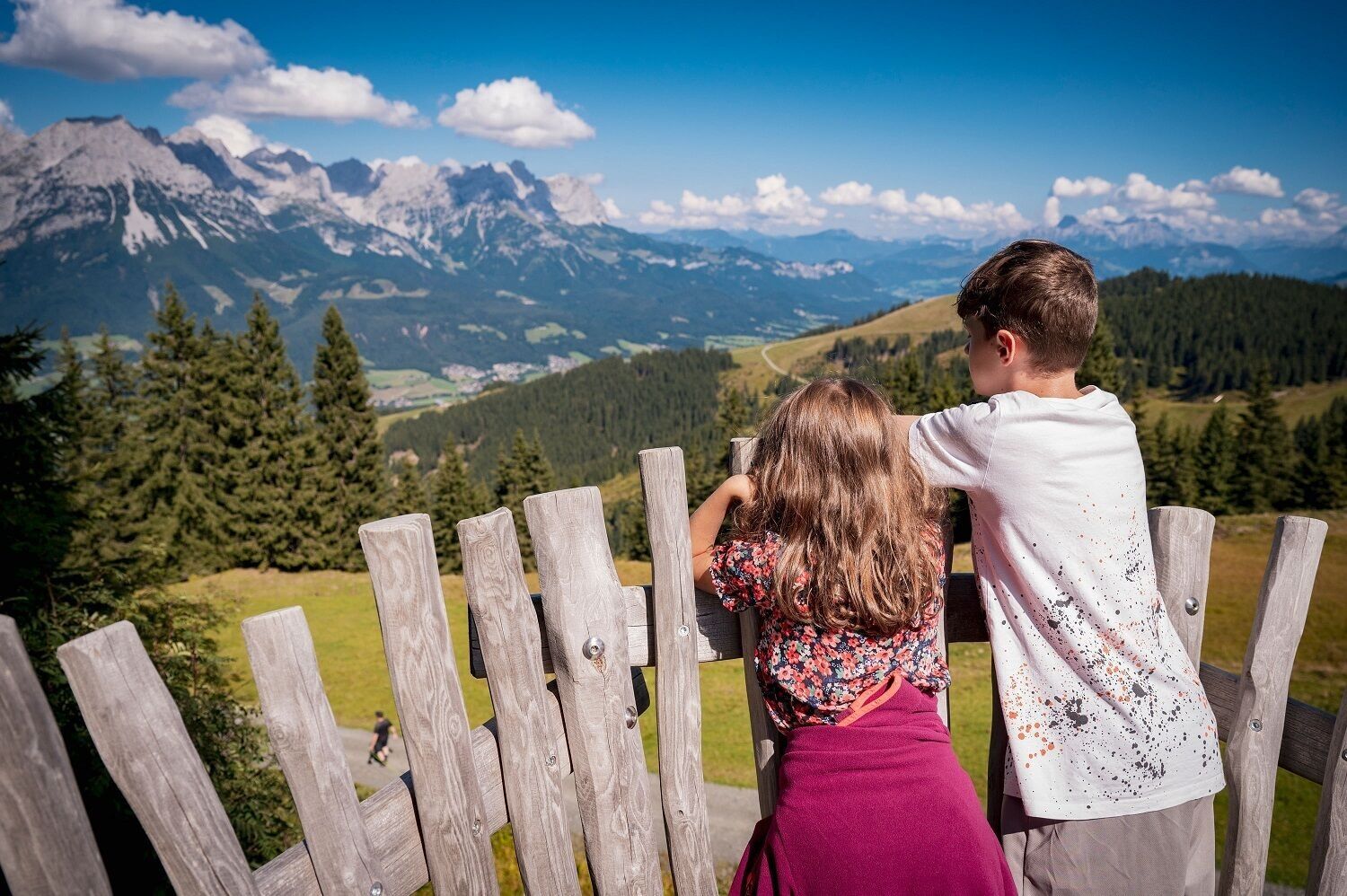
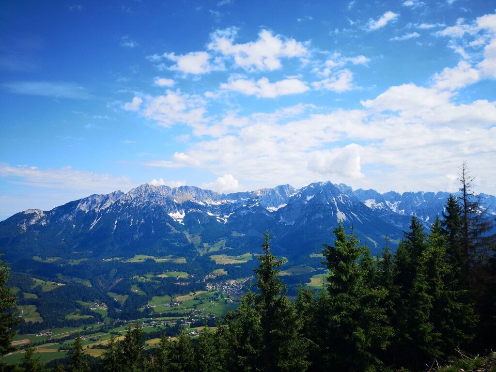
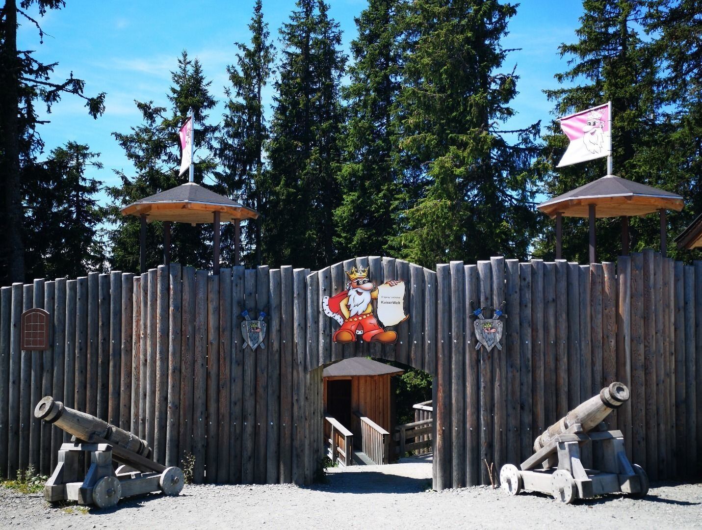
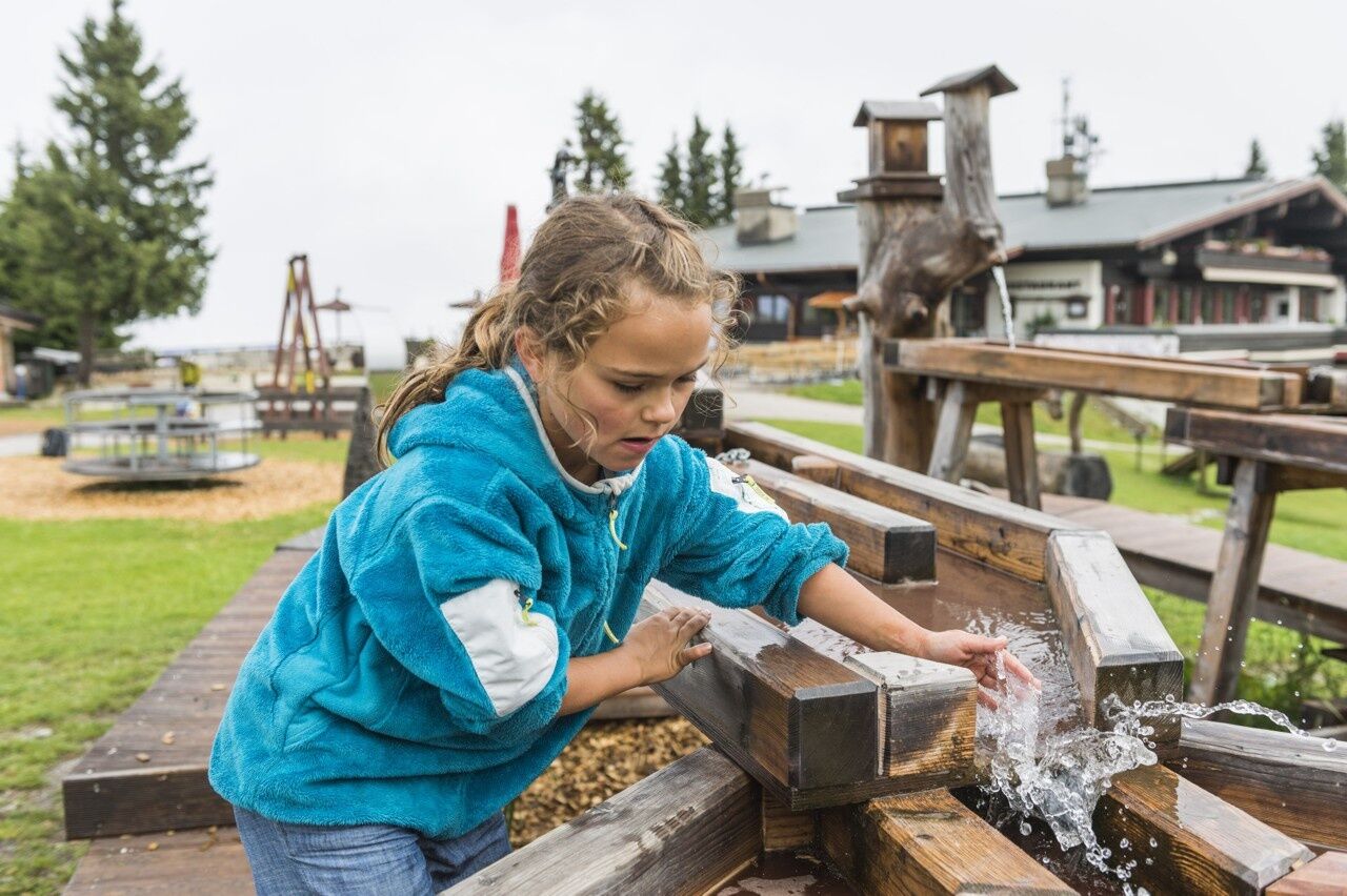
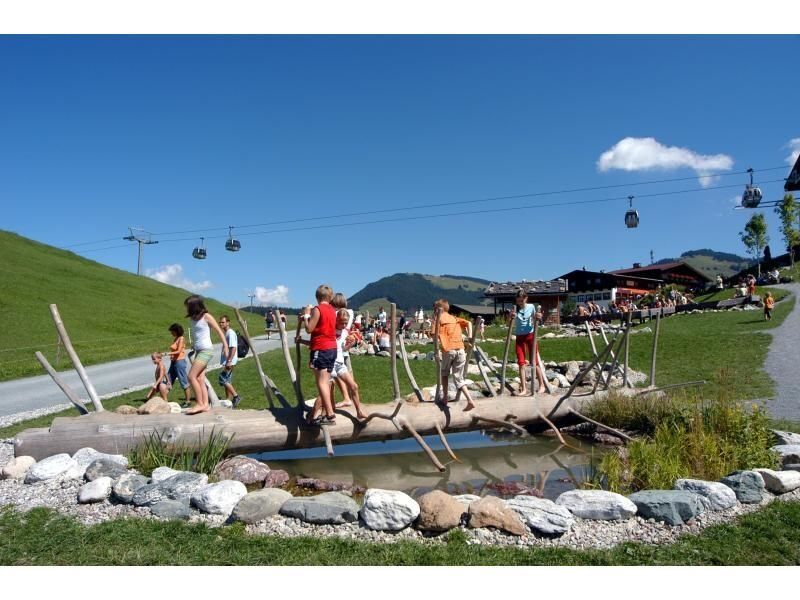
The hike begins at KaiserWelt in Scheffau, departing from the summit station of the Brandstadlbahn. “KaiserWelt” is a leisure park located at an elevation of 1,650 metres, between the summit station of the gondola lift and the Brandstadl mountain restaurant. The Kaiser has lots to do in his empire and needs the assistance of his royal helpers. In the Wilder Kaiser forest, visitors will need to discover the secrets of the forest – whether on the castle wall, on the climbing wall or on the vast range of play equipment that is available. Having explored the “KaiserWelt”, the hike continues towards Filzalmsee lake (trail no. 99). The Filzalmsee offers somewhere to relax and it is also the starting point for a whole series of high-altitude hikes that are full of experiences. After you leave the Filzalmsee, you will then come to the “Hexenwasser” theme park in Hochsöll. Featuring reservoirs, climbing ponds, mud pools, Kneipp basins and the longest barefoot path in Austria, there’s no chance of being bored here. You can then ride the Söll cable car down into the valley, where our free “KaiserJet” bus for hikers will already be waiting to take you back to your starting point in Scheffau.
Wilder Kaiser hiking map (1:25.000) available in the tourist information centres Ellmau, Going, Scheffau and Söll
Rucksack, sturdy hiking shoes, weather-appropriate hiking gear, sun protection, waterproofs, snack and drink, hiking poles (height adjustable) if required, mobile phone, plastic bag for waste, hiking map, route description and information materials (GPX track), ID, cash
Heading from Wörgl, Kufstein or St. Johann on the B178 road, take the exit to the cable car valley station when you reach the ENI petrol station in Scheffau.
More information at: www.wilderkaiser.info/mobil
Car park at Brandstadlbahn cable car valley station, Scheffau (682 m) – free
Beliebte Touren in der Nähe
- 4,9
Streif Wanderweg
mittelWanderung 5,73 km - 4,5
Über Hintersteinersee und Walleralm aufs Hochegg
leichtWanderung 12,2 km - 4,5
Route 208: Windautal - Rotwandalm/Filzenscharte
schwerMountainbike 22,8 km - 4,9
Route 209: Brechhornhaus-Choralpe
schwerMountainbike 24,4 km - 5,0
Kirchdorf: Stripsenjoch Klettersteige
schwerKlettersteig 3,76 km - 4,8
Rosskopf
leichtWanderung 7,02 km - 3,7
Brechhorngipfel (2.037m)
mittelWanderung 11,7 km - 3,8
Wanderung zum Gampenkogel - Kreuzjöchlsee
leichtWanderung 6,10 km - 3,3
Kaisertal Rund-Wanderung
mittelWanderung 13,9 km - 4,1
Stripsenjochhaus
mittelWanderung 3,32 km

Wandern & Tracking


Verpasse keine Angebote und Inspirationen für deinen nächsten Urlaub
Deine E-Mail-Adresse wurde in den Verteiler eingetragen.