






Legend trail - Duxer circuit

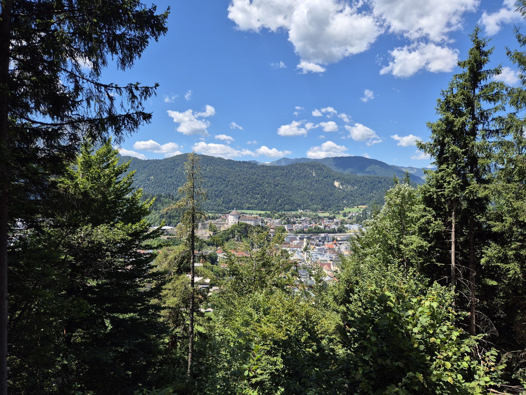




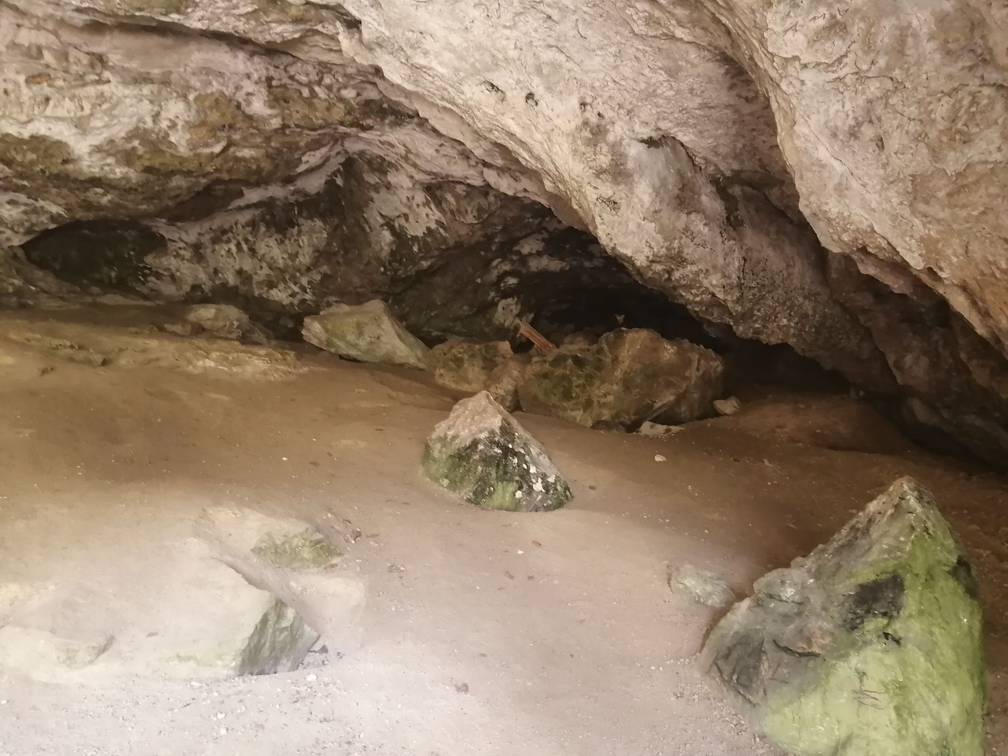
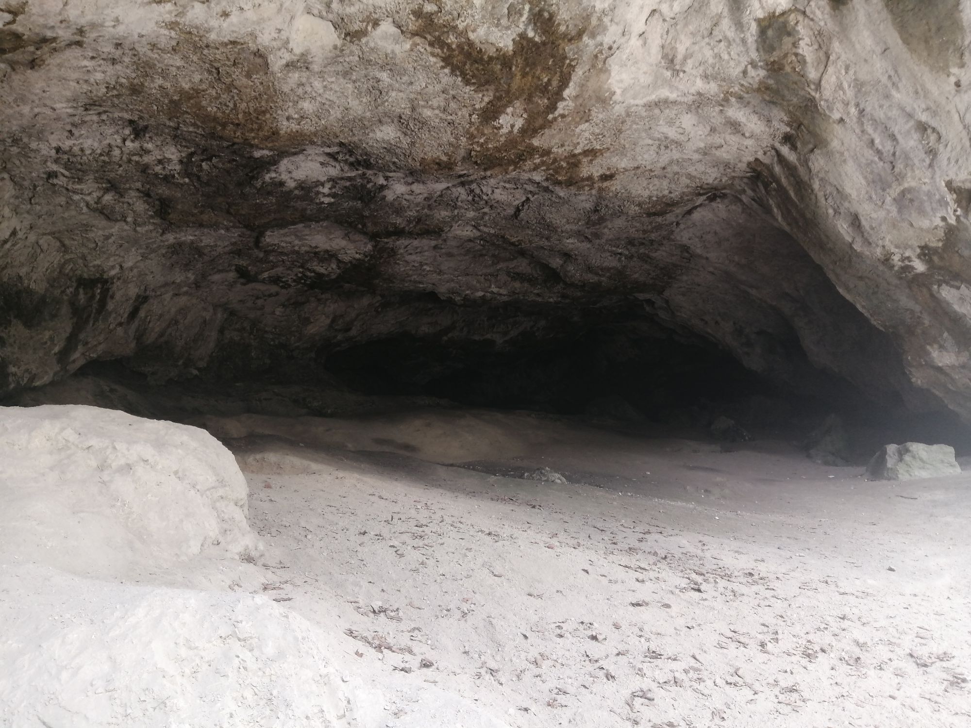
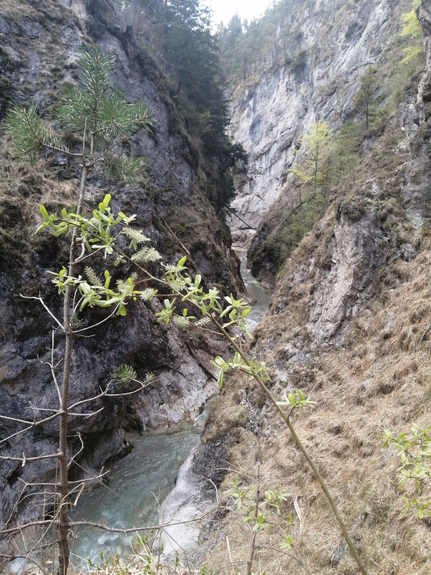



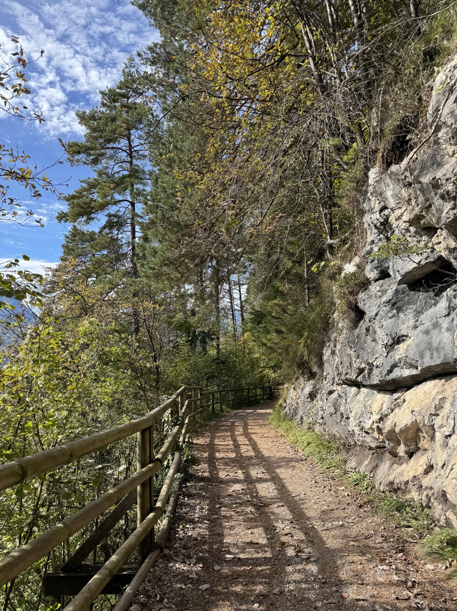



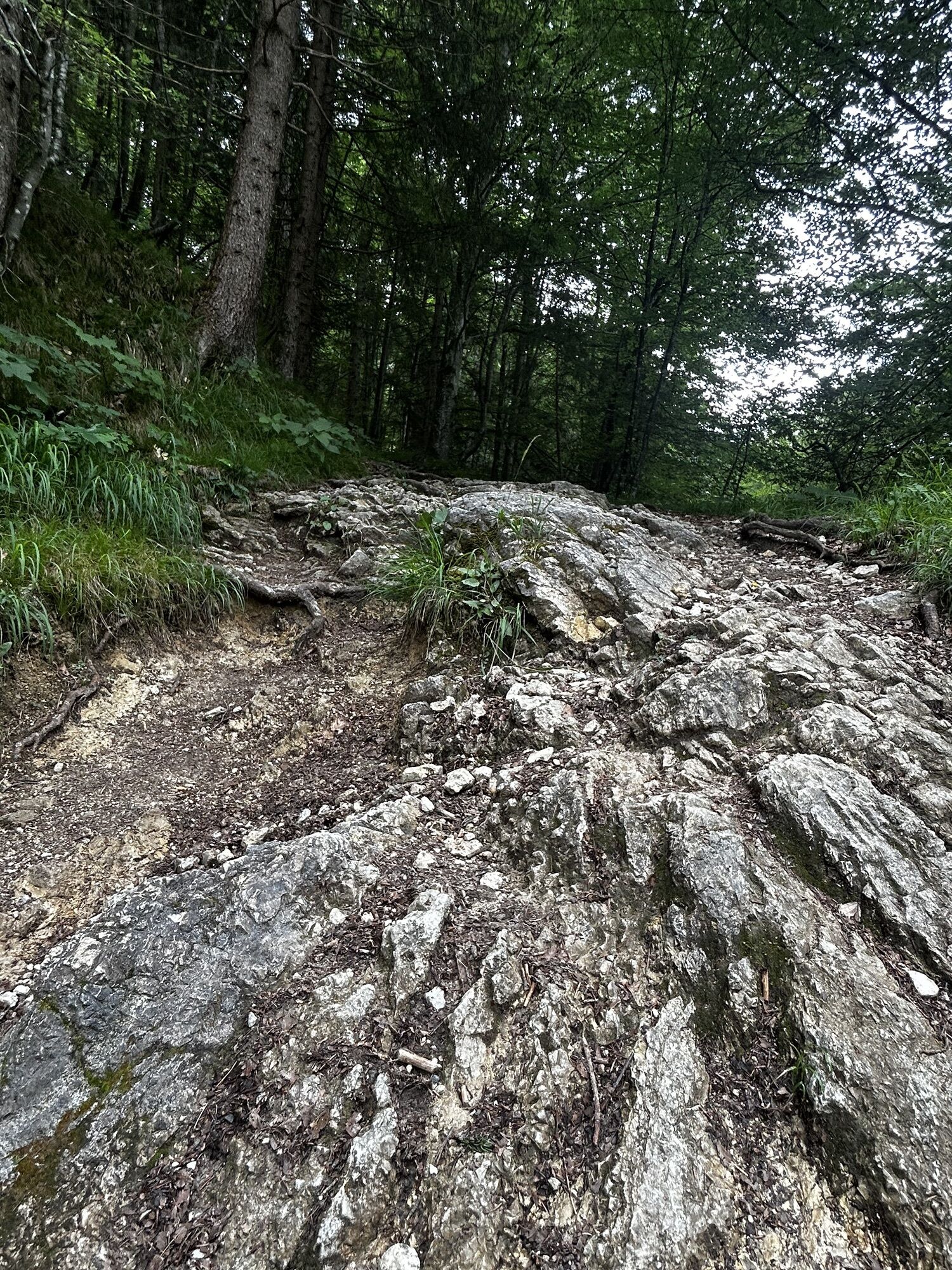


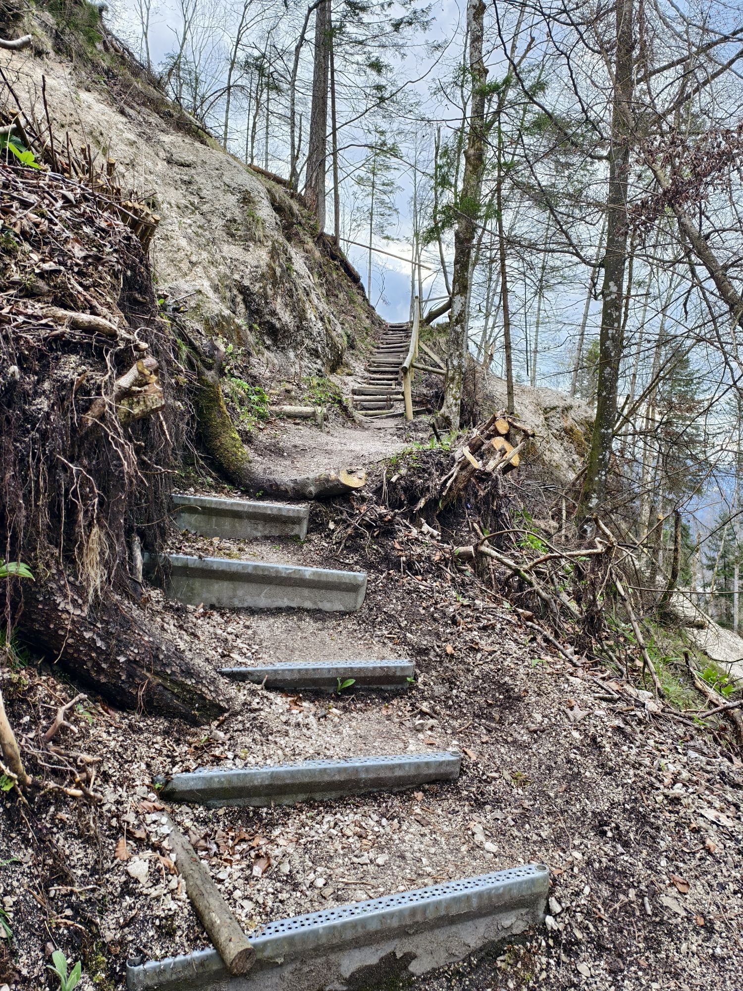
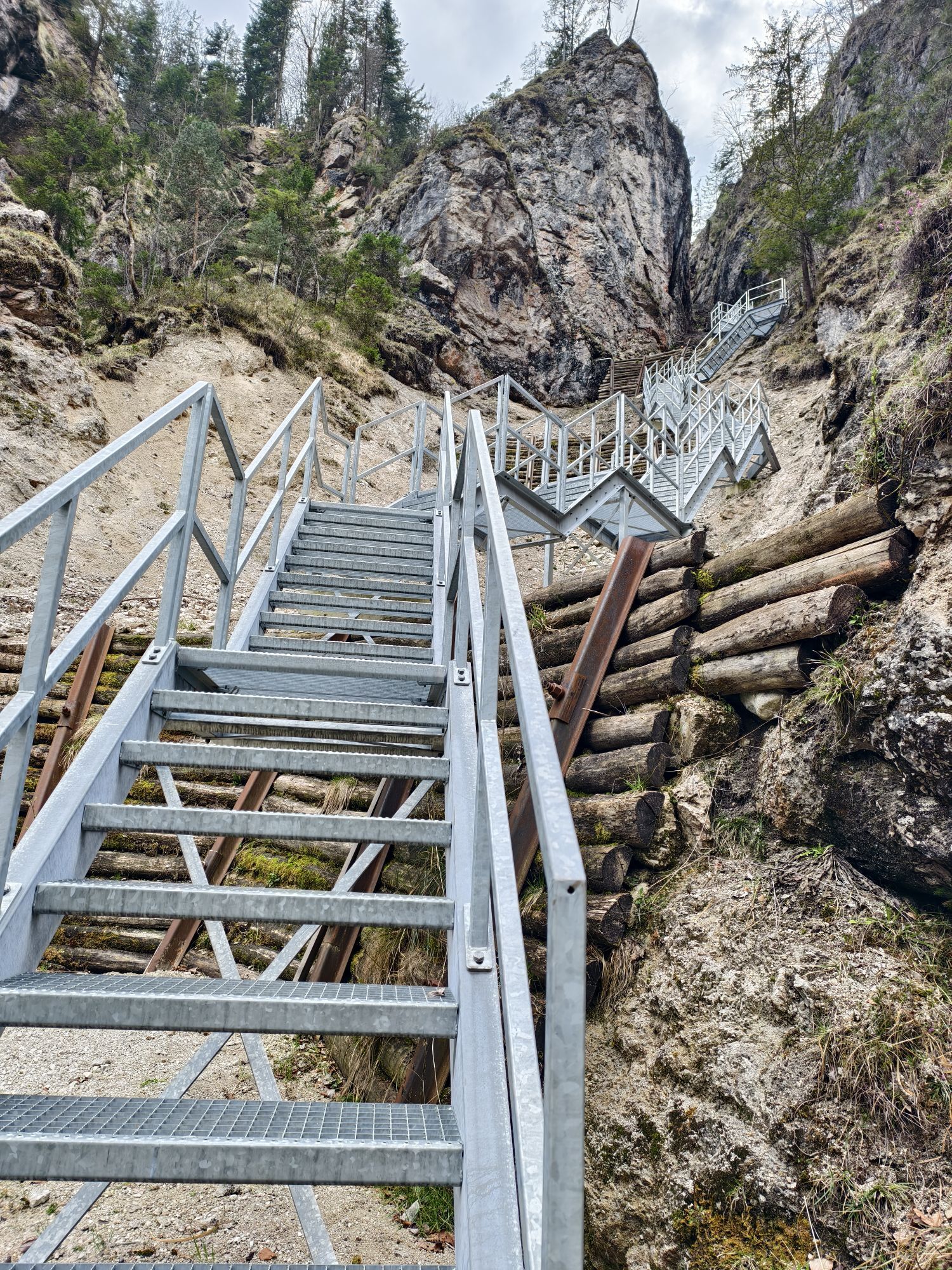
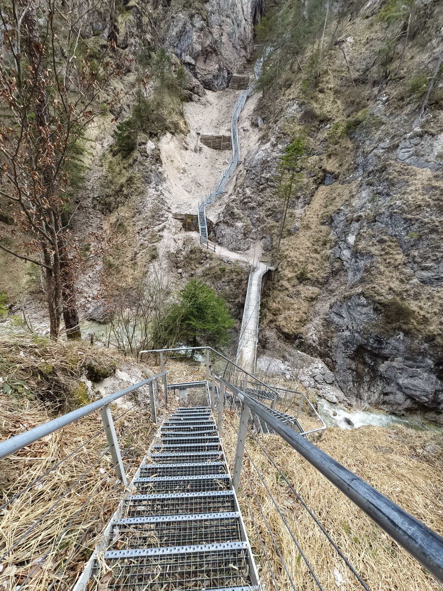




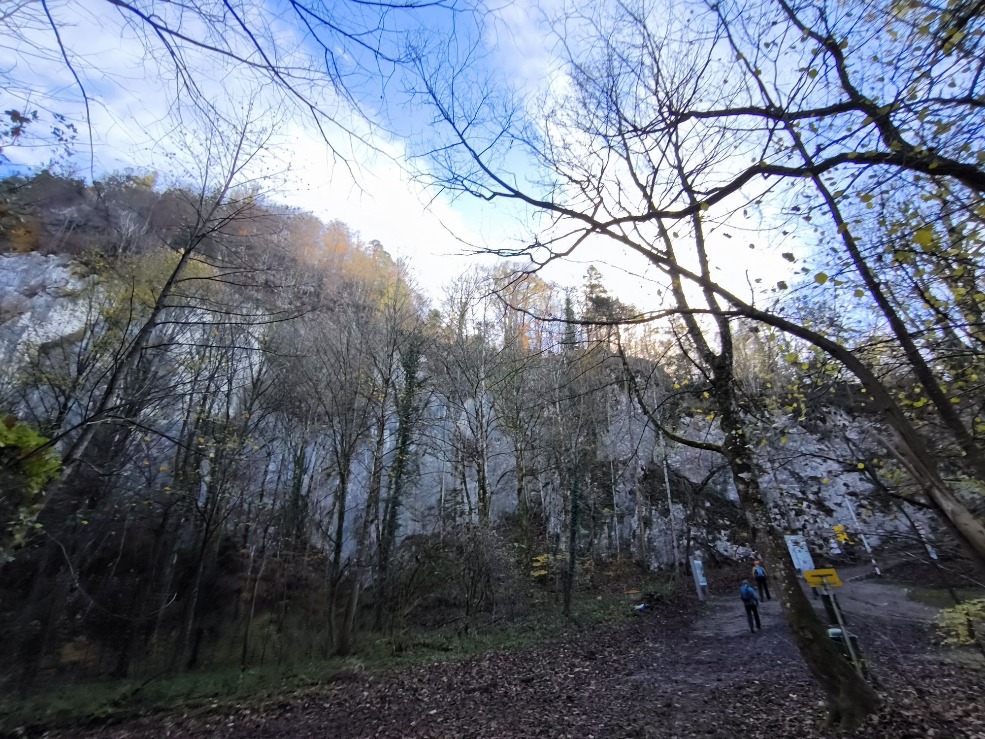


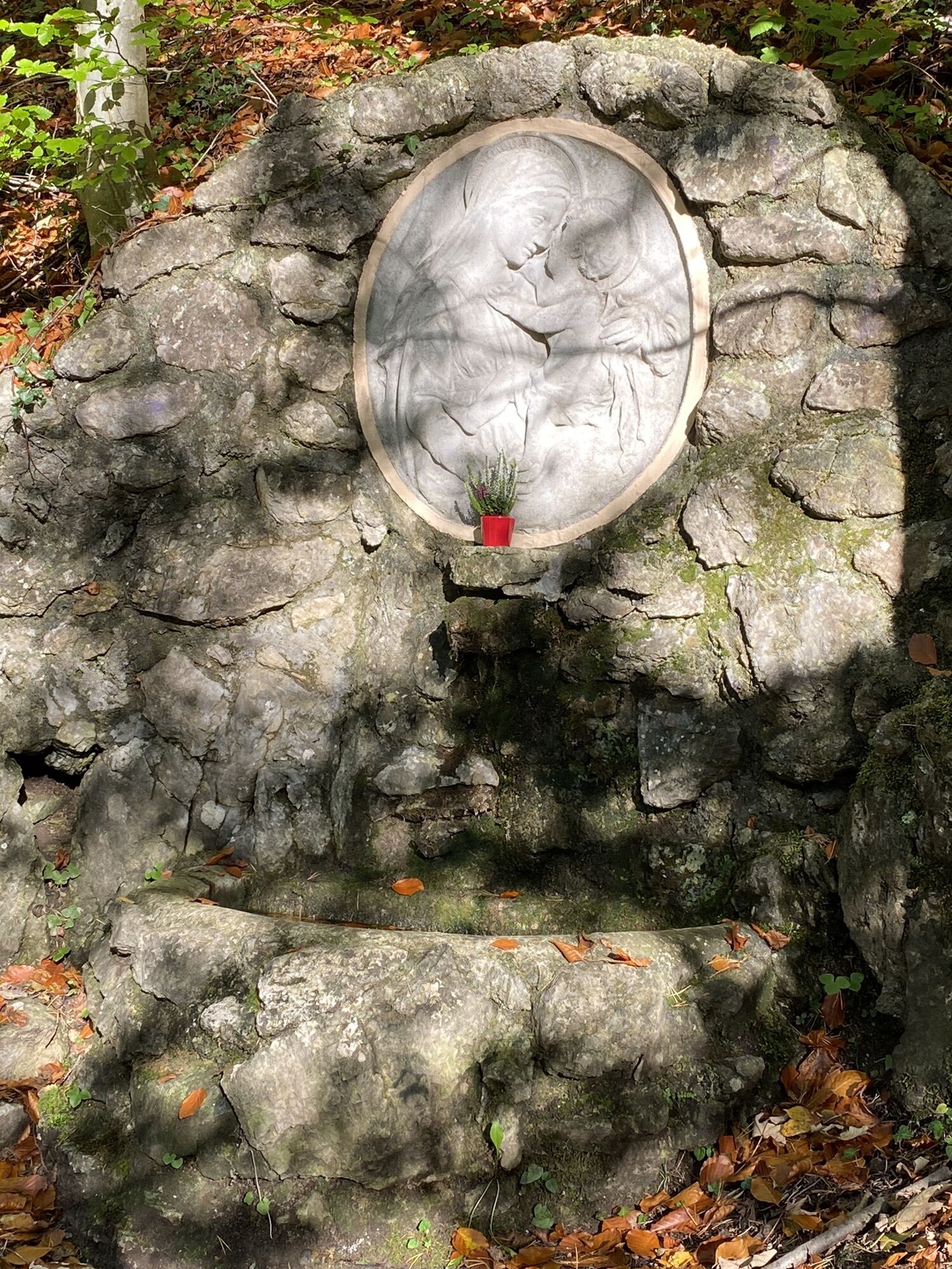
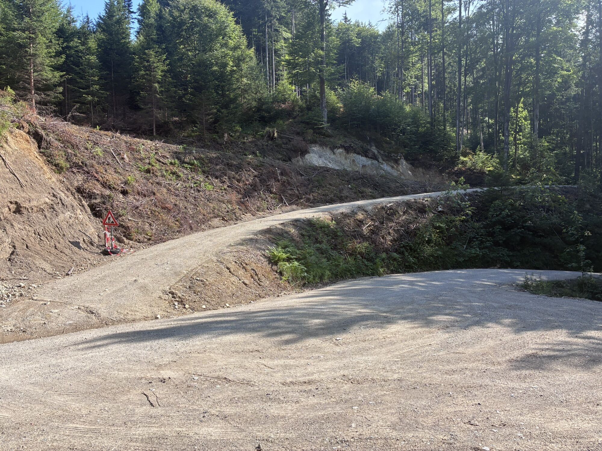

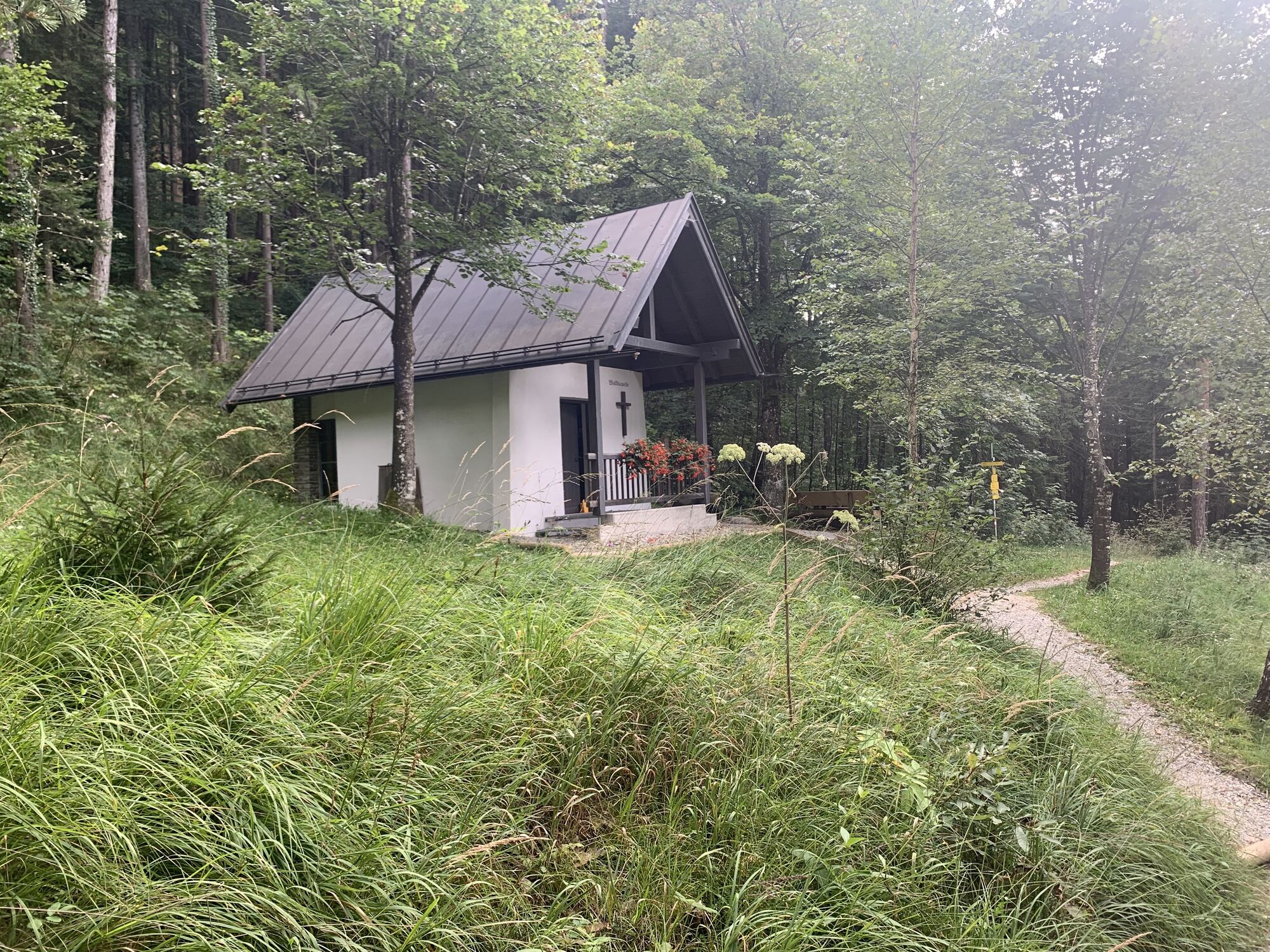

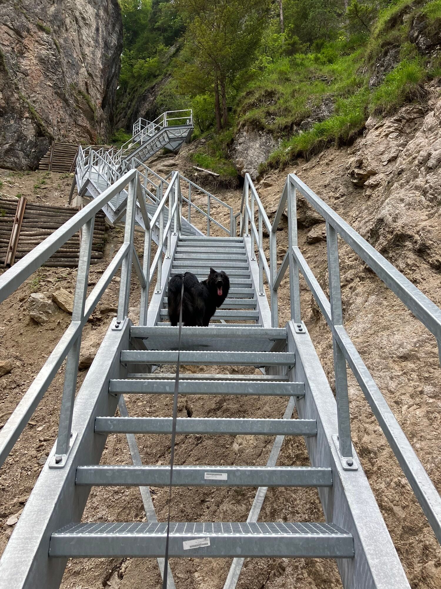
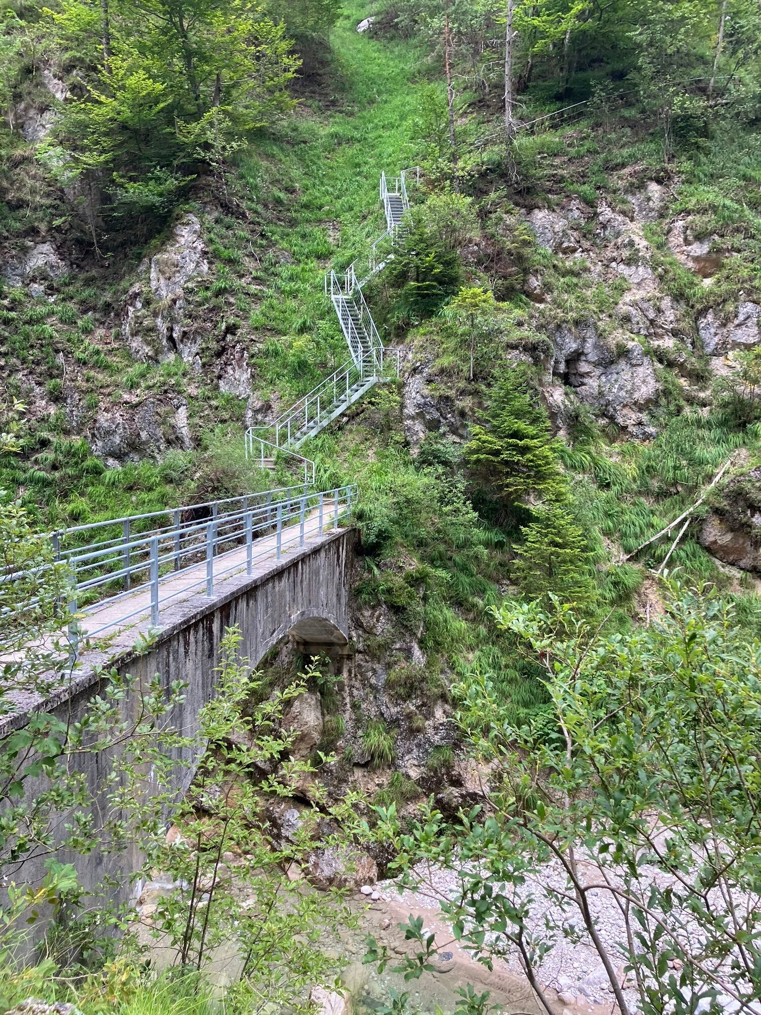


From the Kneipp facility the route climbs up to the forest chapel and the Krampuswand and then on to the Duxer Alm. We follow the path in the direction of Hinterdux and continue to the Dickichtkapelle...
From the Kneipp facility the route climbs up to the forest chapel and the Krampuswand and then on to the Duxer Alm. We follow the path in the direction of Hinterdux and continue to the Dickichtkapelle and from there we walk the flat path in the direction of the Theaterhütte and walk along the Hörfarterweg to the starting point.



Snacks (e.g. fruit, muesli bars, wholemeal breads) and drinks (allow for sufficient liquid)
First aid equipment
Mobile phone with full battery
Hiking map and guide literature
Sun protection (sunscreen and glasses, cap)
Bivouac bag
Inntal motorway A12 exit Kufstein South/North.
Take the city bus lines 1 or 2 to the stop "Feuerwehr Kufstein" or line 3 to the stop "Kufstein Polizei".
Motorikpark Kufstein
Hol dir den Einblick Immer live vor Ort mit über 9.500 Webcams. In der Touren App von bergfex siehst du als Pro-User jetzt zu vielen Touren die passenden Webcams. So kannst du dir direkt die aktuellen Bedingungen ansehen.Beliebte Touren in der Nähe
- 5,0
Priener Hütte
mittelWanderung 7,99 km - 4,8
Gruttenhütte über Klammlweg
mittelWanderung 5,61 km - 4,9
Schleierwasserfall Runde
mittelWanderung 5,63 km - 4,8
Ellmauer Tor (22.07.2020)
mittelWanderung 9,32 km - 5,0
Stripsenjoch Klettersteige/ Rundwanderung von Griesener Alm über Stripsenjochhaus und Feldberg
mittelKlettersteig 10,2 km - 4,7
Musikantensteig zur Naunspitze
mittelWanderung 8,96 km - 4,6
Hintersteinersee
mittelWanderung 9,87 km - 4,6
Über Hintersteinersee und Walleralm aufs Hochegg
leichtWanderung 12,2 km - 4,9
Kirchdorf: Kaiserbachtal - Stripsenkopf und Feldberg
schwerWanderung 12,6 km - 4,5
Wanderung: Spitzstein und Altkaseralm von Sachrang
mittelWanderung 4,03 km
Wandern & Tracking


Verpasse keine Angebote und Inspirationen für deinen nächsten Urlaub
Deine E-Mail-Adresse wurde in den Verteiler eingetragen.





