






Connection Scheffau-Söll hiking route
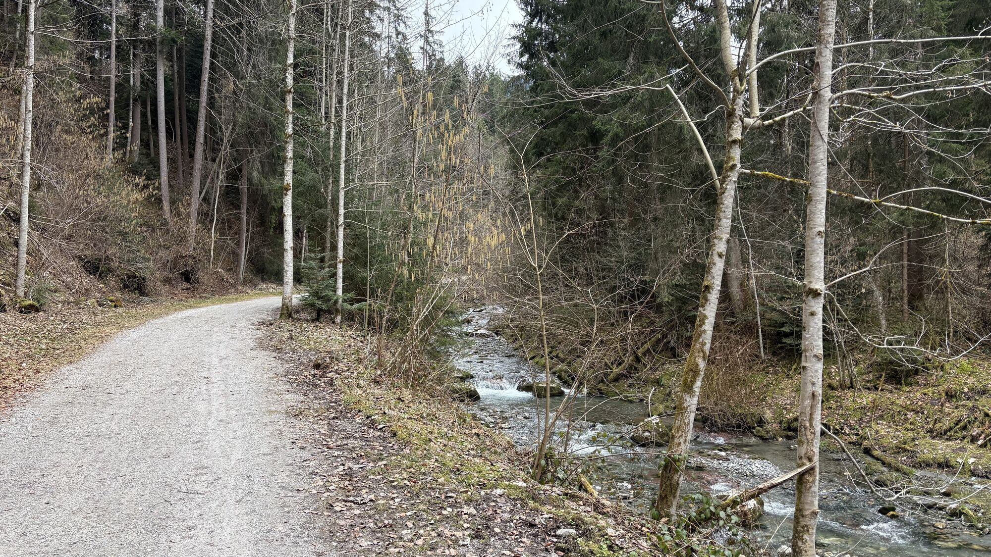
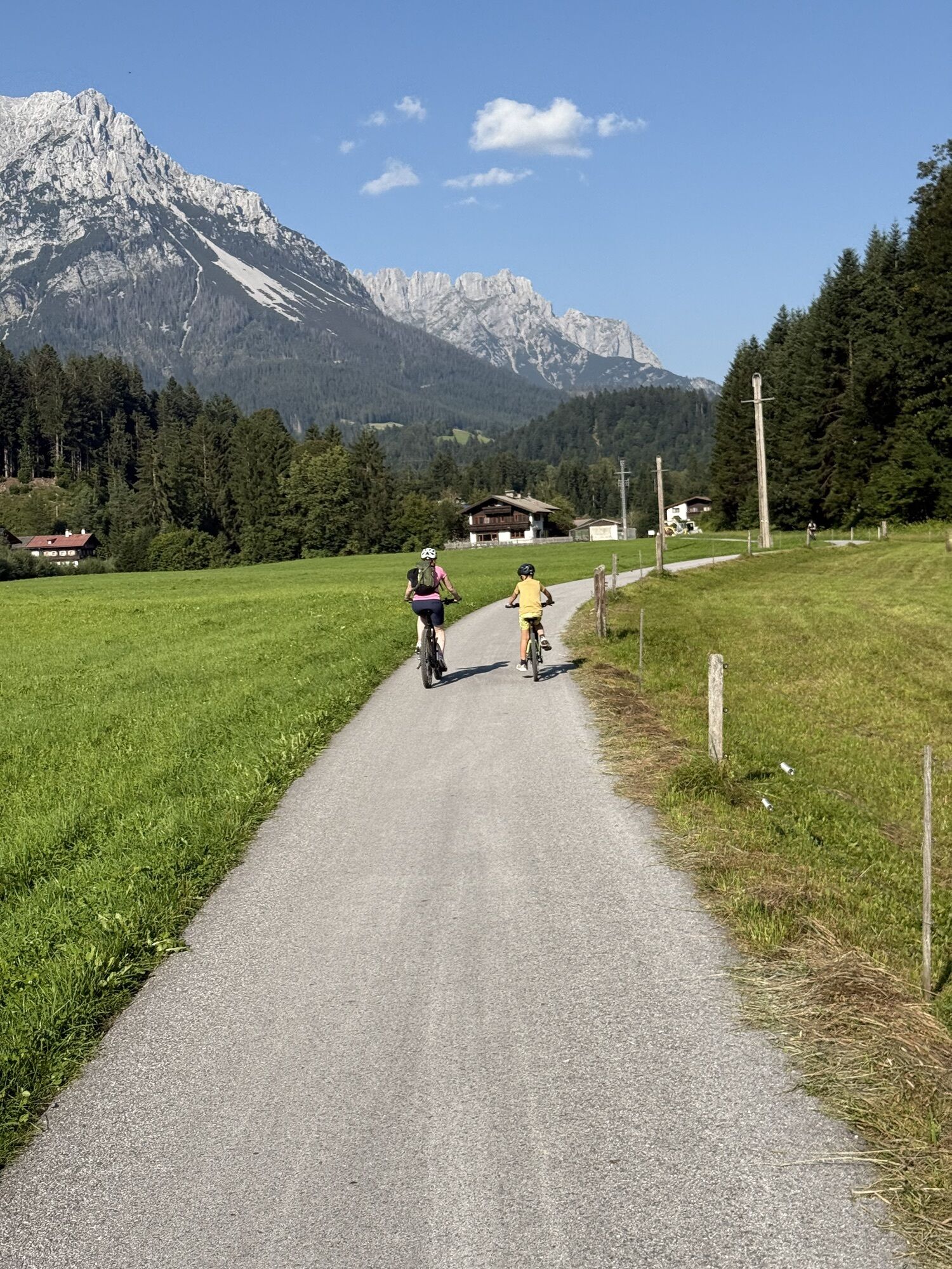
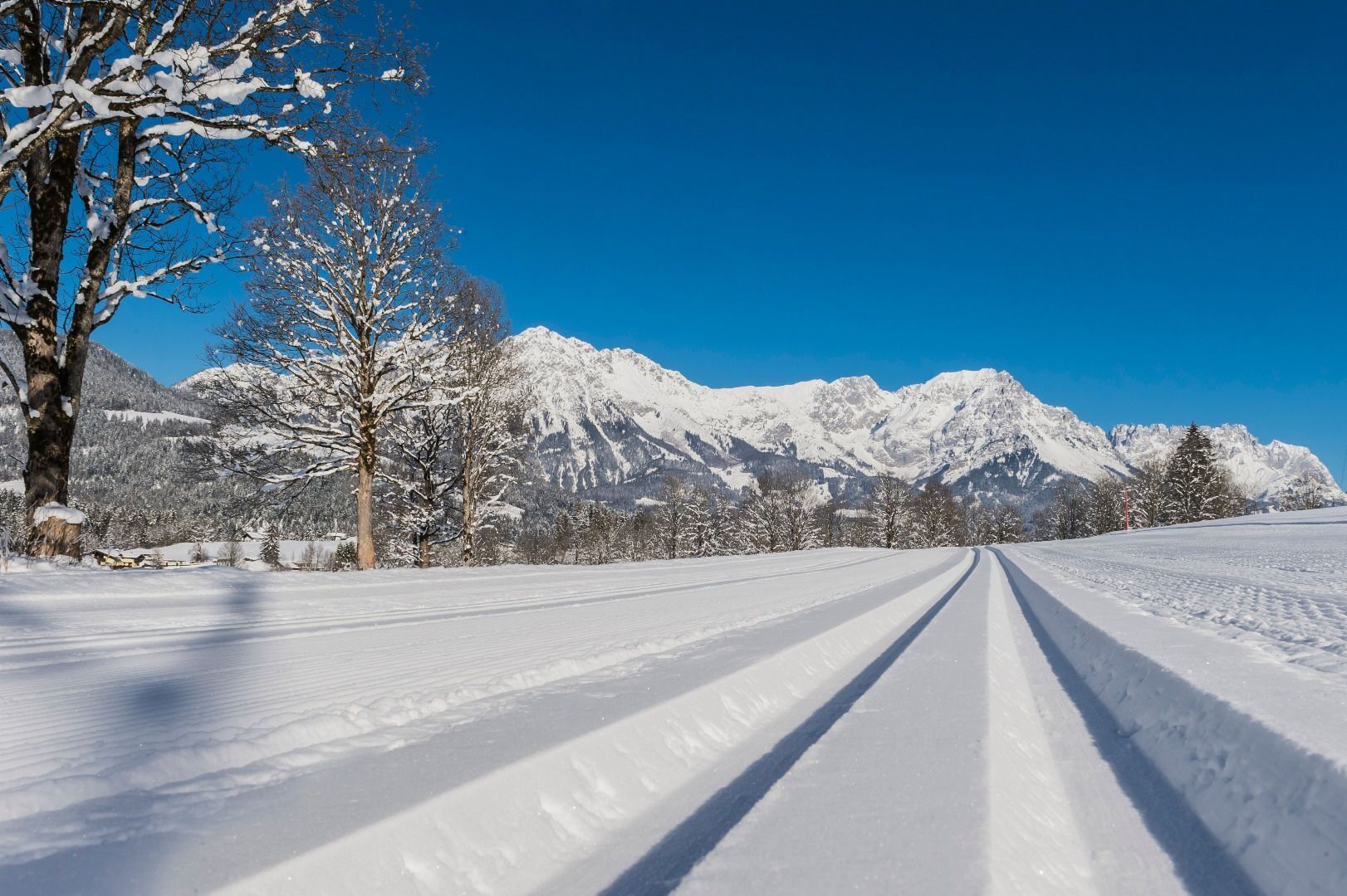
The winter hiking route to Söll starts at the southernmost point of the Sonnenloipe Scheffau. The connection is a classic style track, with a winter hiking trail to Söll running parallel.
The trail leads...
The winter hiking route to Söll starts at the southernmost point of the Sonnenloipe Scheffau. The connection is a classic style track, with a winter hiking trail to Söll running parallel.
The trail leads via the district of Seebach steadily and gently downhill to the Söll district of Stockach. From here on it’s moderately uphill via Unterhauning and Gänsleit to the finishing point near the village centre of Söll.

Sturdy high mountaineering boots with anti-slip treaded soles (waterproof), weather-appropriate outdoor gear (breathable) incl. a change of clothes, sun protection (sunglasses, sun cream, lip protection, headgear), waterproofs (rain jacket/poncho, pocket umbrella, rucksack protector), cold protection (hat, gloves), sufficient food and hot drinks, hiking poles (height adjustable) if required, first aid kit incl. rescue blanket and bivouac sack, mobile phone with fully charged battery, headlamp, plastic bag for waste, hiking map, route description and information materials (GPX track), ID card, insurance card, cash
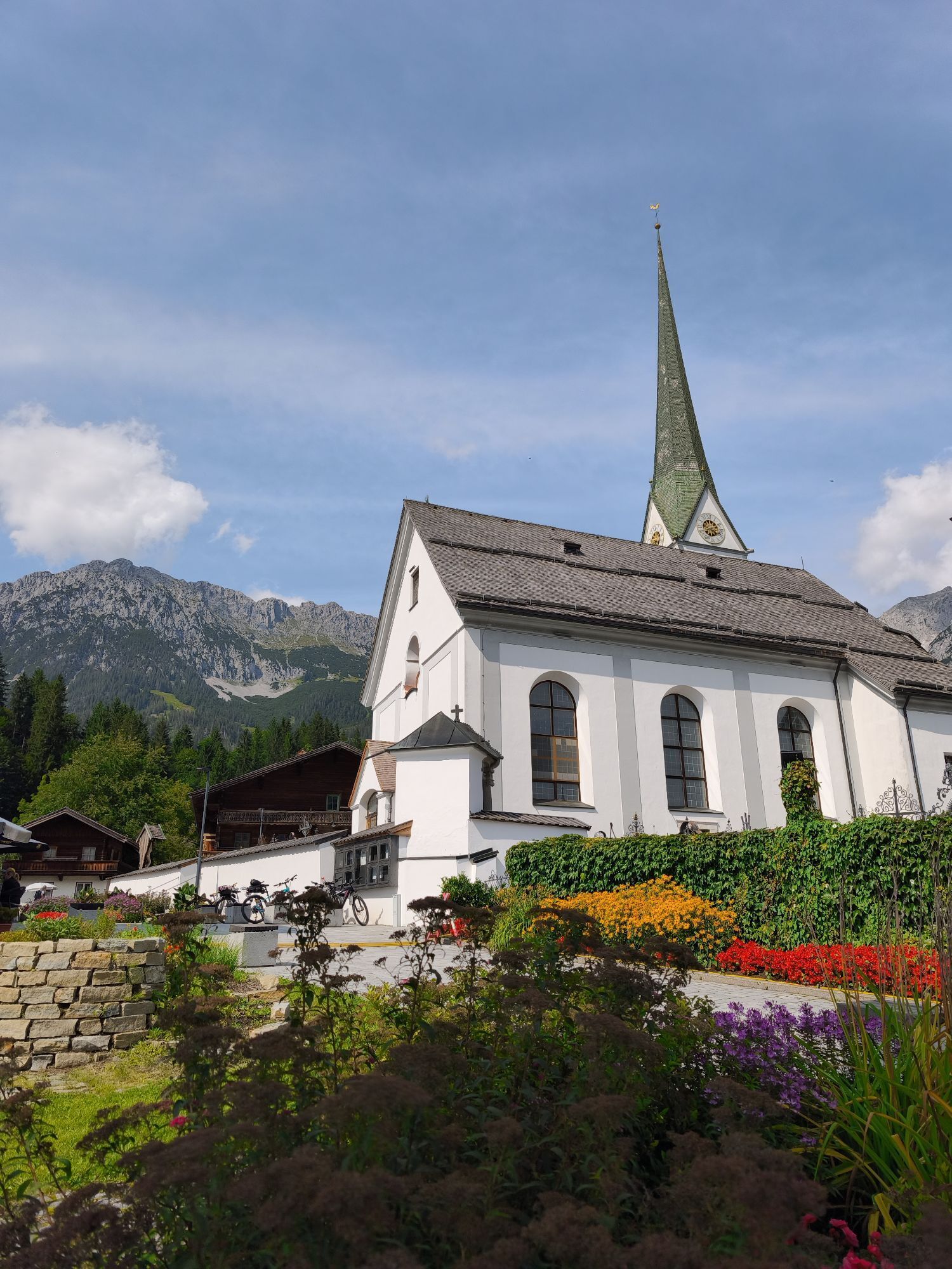
Heading from Wörgl, Kufstein or St. Johann on the B178 road, take the exit to Scheffau. Shortly before you come to the church, you will see the Tourist Info and the hiking starting point on the left-hand side (short-stay parking zone).
Postbus stop “Scheffau Dorf”. More information at: www.wilderkaiser.info
Public car park, Scheffau (740 m), north of the Community Hall - free
Hol dir den Einblick Immer live vor Ort mit über 9.500 Webcams. In der Touren App von bergfex siehst du als Pro-User jetzt zu vielen Touren die passenden Webcams. So kannst du dir direkt die aktuellen Bedingungen ansehen.Beliebte Touren in der Nähe
- 4,9
Route 209: Brechhornhaus-Choralpe
schwerMountainbike 24,4 km - 4,8
Gruttenhütte über Klammlweg
mittelWanderung 5,61 km - 4,9
Schleierwasserfall Runde
mittelWanderung 5,63 km - 4,8
Ellmauer Tor (22.07.2020)
mittelWanderung 9,32 km - 4,8
Streif Wanderweg
mittelWanderung 5,73 km - 5,0
Stripsenjoch Klettersteige/ Rundwanderung von Griesener Alm über Stripsenjochhaus und Feldberg
mittelKlettersteig 10,2 km - 4,7
Musikantensteig zur Naunspitze
mittelWanderung 8,96 km - 4,6
Hintersteinersee
mittelWanderung 9,87 km - 4,6
Über Hintersteinersee und Walleralm aufs Hochegg
leichtWanderung 12,2 km - 4,9
Kirchdorf: Kaiserbachtal - Stripsenkopf und Feldberg
schwerWanderung 12,6 km
Wandern & Tracking


Verpasse keine Angebote und Inspirationen für deinen nächsten Urlaub
Deine E-Mail-Adresse wurde in den Verteiler eingetragen.





