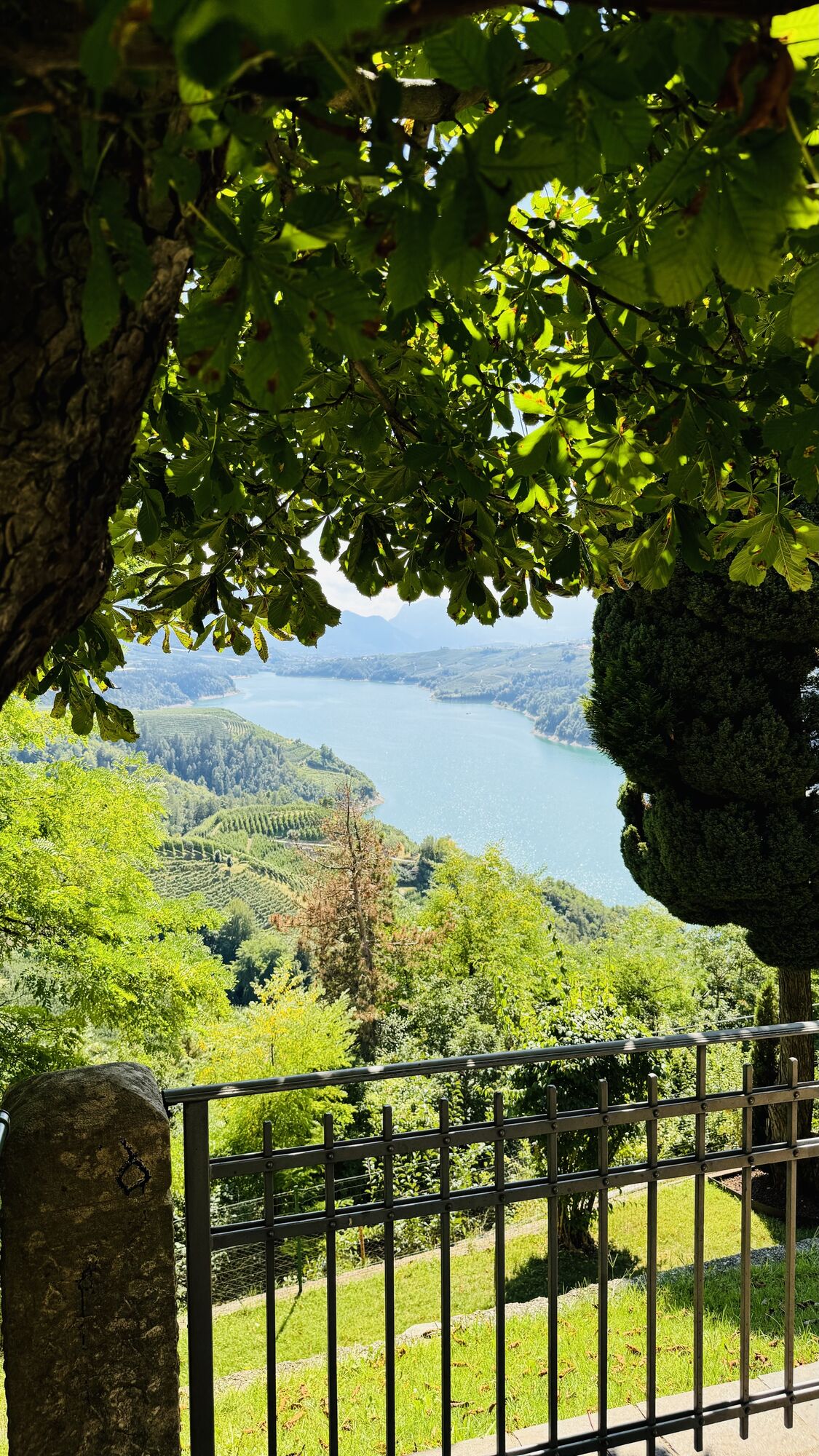
Castelfondo - Santi Antonio e Rocco - San Floriano - Borgo d'Anaunia
schwer
Navigieren
Navigieren
Hol diese Tour auf dein Handy
Castelfondo - Santi Antonio e Rocco - San Floriano - Borgo d'Anaunia
schwer
Radfahren
46,05
km
QR-Code scannen und Navigation in der bergfex App beginnen

Wandern & Tracking


Castelfondo - Santi Antonio e Rocco - San Floriano - Borgo d'Anaunia
schwer
Distanz
46,05
km
Dauer
03:26
h
Aufstieg
941
hm
Seehöhe
554 -
987
m
Track-Download
Castelfondo - Santi Antonio e Rocco - San Floriano - Borgo d'Anaunia
schwer
Radfahren
46,05
km
Wegverlauf
Santi Antonio e Rocco
(834 m)
Andachtsstätte
2,8 km
San Floriano
(803 m)
Andachtsstätte
3,8 km
Arsio
(812 m)
Siedlung
4,2 km
Romallo
(737 m)
Dorf
8,6 km
Livo
(736 m)
Dorf
16,8 km
Schmieden
(899 m)
Siedlung
27,7 km
San Floriano
(803 m)
Andachtsstätte
42,3 km
Wegverlauf
Castelfondo - Santi Antonio e Rocco - San Floriano - Borgo d'Anaunia
schwer
Radfahren
46,05
km
Castelfondo
(935 m)
Dorf
0,0 km
Ristorante alla Villa
(920 m)
Restaurant
0,0 km
Santi Antonio e Rocco
(834 m)
Andachtsstätte
2,8 km
Traversara
(845 m)
Siedlung
2,9 km
Brez
(791 m)
Dorf
3,1 km
San Floriano
(803 m)
Andachtsstätte
3,8 km
Arsio
(812 m)
Siedlung
4,2 km
Santo Stefano
(786 m)
Stadtviertel
5,1 km
Cloz
(779 m)
Dorf
5,3 km
Ristorante al Molin
(779 m)
Restaurant
5,8 km
Santa Maria
(779 m)
Stadtviertel
5,8 km
Sguna
(739 m)
Flur/Gelände
7,0 km
Bar Ristorante Pizzeria Passione
(724 m)
Restaurant
8,2 km
Romallo
(737 m)
Dorf
8,6 km
Revò
(737 m)
Dorf
9,5 km
Cagnò
(669 m)
Dorf
11,7 km
Scanna
(674 m)
Siedlung
15,7 km
Varollo
(705 m)
Siedlung
16,1 km
Livo
(736 m)
Dorf
16,8 km
Preghena
(807 m)
Dorf
18,1 km
Marcena
(970 m)
Dorf
23,8 km
Placeri
(931 m)
Siedlung
24,3 km
Mione
(965 m)
Siedlung
25,0 km
Corte Inferiore
(1.026 m)
Siedlung
25,3 km
Schmieden
(899 m)
Siedlung
27,7 km
Valciaia
(827 m)
Flur/Gelände
33,5 km
Cagnò
(669 m)
Dorf
34,8 km
Predazzol
(783 m)
Siedlung
35,4 km
Revò
(737 m)
Dorf
36,4 km
Romallo
(737 m)
Dorf
37,4 km
Santa Maria
(779 m)
Stadtviertel
40,1 km
Ristorante al Molin
(779 m)
Restaurant
40,2 km
Cloz
(779 m)
Dorf
40,5 km
Santo Stefano
(786 m)
Stadtviertel
40,8 km
Arsio
(812 m)
Siedlung
41,7 km
San Floriano
(803 m)
Andachtsstätte
42,3 km
Brez
(791 m)
Dorf
43,0 km
Santi Antonio e Rocco
(834 m)
Andachtsstätte
43,1 km
Traversara
(845 m)
Siedlung
43,1 km
Castelfondo
(935 m)
Dorf
46,0 km
Ristorante alla Villa
(920 m)
Restaurant
46,0 km
Noch keine Bewertungen
Beliebte Touren in der Nähe
- 4,9
SÜDTIROL | Rastenbachklamm
mittelWanderung 7,03 km - 4,6
Mendelpass - Penegal
mittelWanderung 7,50 km - 4,0
Zum Roen am Mendelkamm
Wanderung 8,39 km - 4,7
Laugenspitze
mittelBergwandern 10,1 km - 4,5
Mendelpass
mittelWanderung 15,3 km - 4,8
Ultener Höfeweg
leichtWanderung 11,0 km - 2,7
Kalterer Höhenweg
Wanderung 8,32 km - 3,8
EPPAN St. Michael Steinegger Eppaner Höhenweg Pfaunboden Buchwald Schloss Freudenstein 20191110
mittelWanderung 13 km wein.weg durch Kaltern
Wanderung 15,7 km- 4,0
Penegal-Furglau-Wanderung
mittelWanderung 9,90 km

Wandern & Tracking

Über 550.000 Tourenvorschläge, detailliertes Kartenmaterial und ein intuitiver Routenplaner machen die App zum Must-have für alle Naturbegeisterten.

Verpasse keine Angebote und Inspirationen für deinen nächsten Urlaub
Zum Newsletter anmelden
Fehler
Ein Fehler ist aufgetreten. Bitte versuche es erneut.Vielen Dank für deine Anmeldung
Deine E-Mail-Adresse wurde in den Verteiler eingetragen.
Touren in ganz Europa
Österreich Schweiz Deutschland Italien Slowenien Frankreich Niederlande Belgien Polen Liechtenstein Tschechien Slowakei Spanien Kroatien Bosnien und Herzegowina Luxemburg Andorra Portugal Island Vereinigtes Königreich Irland Griechenland Albanien Nordmazedonien Malta Norwegen Montenegro Moldau Kosovo Ungarn San Marino Rumänien Estland Lettland Belarus Zypern Litauen Serbien Bulgarien Monaco Dänemark Schweden Finnland