Mit App navigieren
Hol diese Tour auf dein Handy
Karte
Via Claudia Augusta (alternate route)

mittel
Radfahren
179,47 km
QR-Code scannen und Navigation in der bergfex App beginnen
QR Code
Wandern & Tracking
Wandern & Tracking
Download für iOS
Download für Android

Via Claudia Augusta (alternate route)
Karte
Distanz
179,5 km
Dauer
09:58 h
Aufstieg
452 hm
Seehöhe
11 - 212 m
Track-Download
Karte
Via Claudia Augusta (alternate route)
mittel
Radfahren
179,47 km

The Roman road that led from the Adriatic Sea and the plains of the Po over the Alps to the Danube experiences today , after 2000 years, a new bloom. Not only is it a great piece of history, which the places...

Beschreibung

The Roman road that led from the Adriatic Sea and the plains of the Po over the Alps to the Danube experiences today , after 2000 years, a new bloom. Not only is it a great piece of history, which the places along the route have together. She is not only a successful tourist route . It is a piece of identity and lived by the population as an axis of encounter, exchange and cooperation .

Wegverlauf
Trient
(194 m)
Stadt
0,0 km
SS. Fabiano e Sebastiano
(174 m)
Andachtsstätte
35,6 km
Chiesa di San Giovanni Battista
(191 m)
Andachtsstätte
72,8 km
Chiesa di San Rocco
(107 m)
Andachtsstätte
84,8 km
Santa Maria Regina
(63 m)
Andachtsstätte
101,0 km
Sommacampagna
(115 m)
Stadt
118,1 km
San Pietro in Monastero
(15 m)
Andachtsstätte
166,7 km
Wegverlauf
Karte
Via Claudia Augusta (alternate route)
mittel
Radfahren
179,47 km
Piedicastello
(192 m)
Stadtteil
0,0 km
Funivia Trento Sardagna
(195 m)
Gondelstation
0,0 km
ex SIT
(191 m)
Flur/Gelände
0,0 km
Trient
(194 m)
Stadt
0,0 km
Le Albere
(188 m)
Stadtteil
0,5 km
Mattarello
(197 m)
Dorf
7,2 km
Mattarello di Sotto
(195 m)
Stadtviertel
7,2 km
Maset
(190 m)
Stadtviertel
7,7 km
Calliano
(186 m)
Dorf
15,8 km
BiciGrill Asgard
(180 m)
Restaurant
17,5 km
Nomi
(178 m)
Dorf
18,4 km
Chiusole
(190 m)
Stadtteil
19,6 km
Villa Lagarina
(180 m)
Dorf
21,5 km
Sant'Ilario
(189 m)
Stadtteil
22,0 km
San Giorgio
(183 m)
Stadtteil
23,7 km
Rovereto
(204 m)
Stadt
24,2 km
Borgo Sacco
(184 m)
Stadtteil
24,6 km
Chiesa di San Nicolò
(173 m)
Andachtsstätte
25,8 km
Chiesa della Santissima Trinità
(177 m)
Andachtsstätte
26,2 km
3 Pini
(171 m)
Restaurant
29,7 km
Serravalle all'Adige
(163 m)
Dorf
35,5 km
SS. Fabiano e Sebastiano
(174 m)
Andachtsstätte
35,6 km
Chizzola
(163 m)
Dorf
36,3 km
Villetta
(151 m)
Siedlung
36,9 km
Santa Lucia
(159 m)
Siedlung
37,5 km
Pilcante
(176 m)
Dorf
41,2 km
Sass del vilmo
(141 m)
Andachtsstätte
42,1 km
Campagnola
(142 m)
Flur/Gelände
42,9 km
Vò Destro
(136 m)
Siedlung
46,8 km
Vò Sinistro
(137 m)
Siedlung
46,9 km
Borghetto
(123 m)
Siedlung
52,1 km
Mama di Sotto
(139 m)
Siedlung
52,8 km
Roeno
(133 m)
Restaurant
54,0 km
Belluno Veronese
(141 m)
Dorf
55,0 km
Albergo Belvedere
(127 m)
Restaurant
58,5 km
Rivalta
(126 m)
Dorf
58,9 km
Brentino
(187 m)
Dorf
61,0 km
Preabocco
(133 m)
Siedlung
63,3 km
Santuario Cristo della Strada
(111 m)
Andachtsstätte
65,3 km
Canale
(99 m)
Siedlung
68,8 km
Rivoli Veronese
(196 m)
Dorf
72,7 km
Chiesa di San Giovanni Battista
(191 m)
Andachtsstätte
72,8 km
Giarette
(193 m)
Siedlung
73,7 km
Montalto di Sopra
(201 m)
Siedlung
75,9 km
Montalto di Gaium - Pimpine
(209 m)
Siedlung
76,1 km
Montalto di Sotto
(198 m)
Siedlung
77,6 km
Rivolti
(106 m)
Siedlung
78,8 km
Ragano
(104 m)
Siedlung
81,2 km
La sosta
(98 m)
Restaurant
81,5 km
Bar Ristorante DA RIGO
(97 m)
Restaurant
81,8 km
Sega
(99 m)
Siedlung
82,2 km
Chiesetta Santuario Santa Maria di Pol
(98 m)
Andachtsstätte
83,4 km
Pol
(104 m)
Siedlung
84,5 km
Chiesa di San Rocco
(107 m)
Andachtsstätte
84,8 km
Bussolengo
(126 m)
Stadt
88,3 km
Arcè
(83 m)
Dorf
88,6 km
Chiesa di San Rocco
(79 m)
Andachtsstätte
90,2 km
Pescantina
(93 m)
Stadt
90,4 km
Settimo
(84 m)
Dorf
93,5 km
Corno Alto
(97 m)
Siedlung
95,3 km
Sant'Antonio Abate
(67 m)
Andachtsstätte
97,9 km
Chievo
(68 m)
Stadtviertel
97,9 km
Saval
(65 m)
Stadtteil
100,2 km
Santa Maria Regina
(63 m)
Andachtsstätte
101,0 km
Borgo Trento
(60 m)
Stadtteil
102,2 km
Città antica
(59 m)
Stadtteil
103,2 km
Chiesa di Santa Maria Antica
(58 m)
Andachtsstätte
103,4 km
Chiesa di Santa Maria della Scala
(60 m)
Andachtsstätte
104,0 km
Verona
(59 m)
Stadt
104,4 km
Chiesa di San Lorenzo
(59 m)
Andachtsstätte
104,5 km
Santa Maria Immacolata
(60 m)
Andachtsstätte
107,3 km
San Massimo
(80 m)
Stadtteil
109,2 km
Casone
(85 m)
Siedlung
111,5 km
Ceolara
(84 m)
Siedlung
114,5 km
Palazzo
(86 m)
Siedlung
115,6 km
Albergo Merica
(86 m)
Restaurant
115,7 km
Pirlar
(89 m)
Siedlung
116,4 km
Sommacampagna
(115 m)
Stadt
118,1 km
Coronini
(79 m)
Siedlung
124,2 km
Grattarole
(65 m)
Siedlung
124,6 km
Ca' Orsi
(60 m)
Siedlung
125,2 km
Ca' Orsi
(58 m)
Siedlung
125,3 km
Villanova
(57 m)
Siedlung
125,8 km
Acquaroli
(60 m)
Siedlung
126,0 km
Villafranca di Verona
(50 m)
Stadt
128,5 km
Sant'Eurosia
(48 m)
Siedlung
129,8 km
Sorgente Branca o del Segretario
(46 m)
Quelle
131,1 km
Povegliano Veronese
(47 m)
Dorf
131,9 km
Azzano
(45 m)
Siedlung
136,9 km
Il Richiamo
(45 m)
Restaurant
137,1 km
Castel d'Azzano
(43 m)
Stadt
137,5 km
Ristoro Martin Pescatore
(42 m)
Restaurant
137,6 km
Forette
(41 m)
Siedlung
138,9 km
Al Senato
(39 m)
Restaurant
140,4 km
Vigasio
(36 m)
Dorf
141,8 km
Erbè
(26 m)
Dorf
151,4 km
Pontepossero
(24 m)
Siedlung
153,0 km
Sorgà
(23 m)
Dorf
154,8 km
Torre di Masino
(22 m)
Dorf
156,4 km
Bonferraro
(21 m)
Dorf
159,1 km
Ristorante Natural Cuisine
(21 m)
Restaurant
159,4 km
Olmo San Pietro
(16 m)
Siedlung
165,9 km
San Pietro in Valle
(15 m)
Siedlung
166,6 km
San Pietro in Monastero
(15 m)
Andachtsstätte
166,7 km
Chiesone
(14 m)
Siedlung
168,1 km
Selici
(14 m)
Siedlung
168,5 km
Ostiglia
(6 m)
Dorf
179,3 km
Toureninfo

Alternate route of the Via Claudia Agusta, which runs via Verona to Ostiglia

Technik
k.A.
Kondition
2 / 6
Landschaft
5 / 6
Erlebnis
k.A.
Beste Jahreszeit
Jan
Feb
Mär
Apr
Mai
Jun
Jul
Aug
Sep
Okt
Nov
Dez
Autor
Bereitgestellt von Radtouren in Österreich
Tour teilen
Karte
Via Claudia Augusta (alternate route)
mittel
Radfahren
179,47 km
Fehler
Ein Fehler ist aufgetreten. Bitte versuche es erneut.
Weginformationen
Wegverlauf
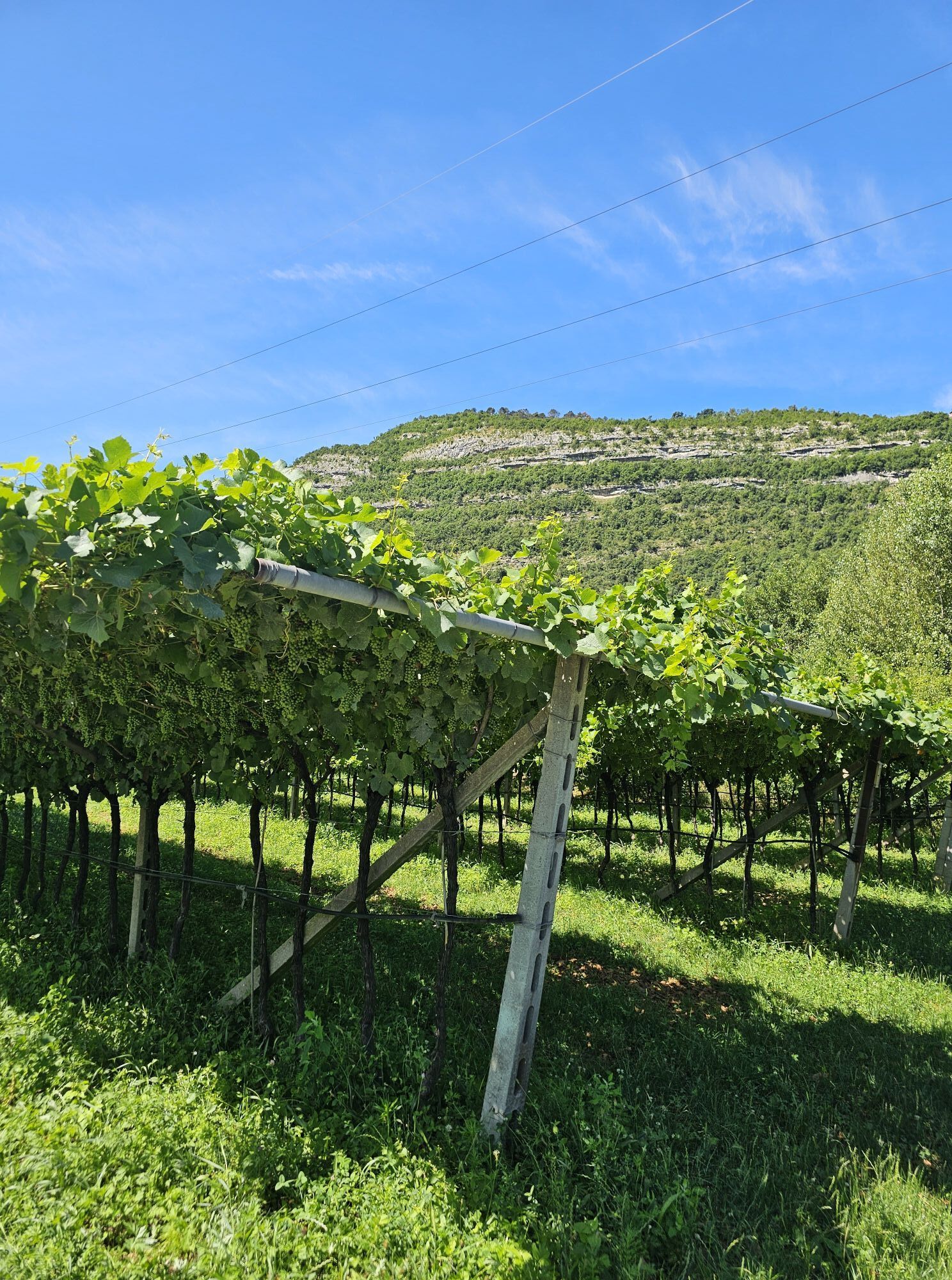
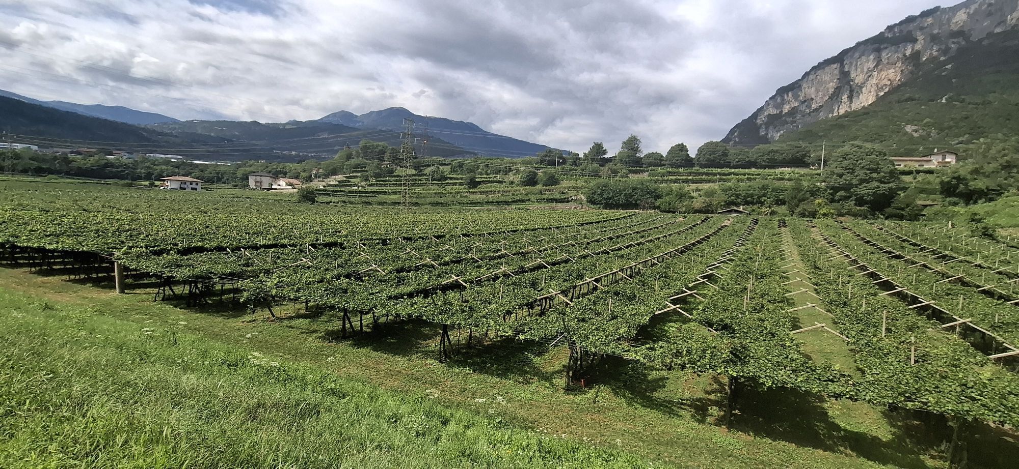
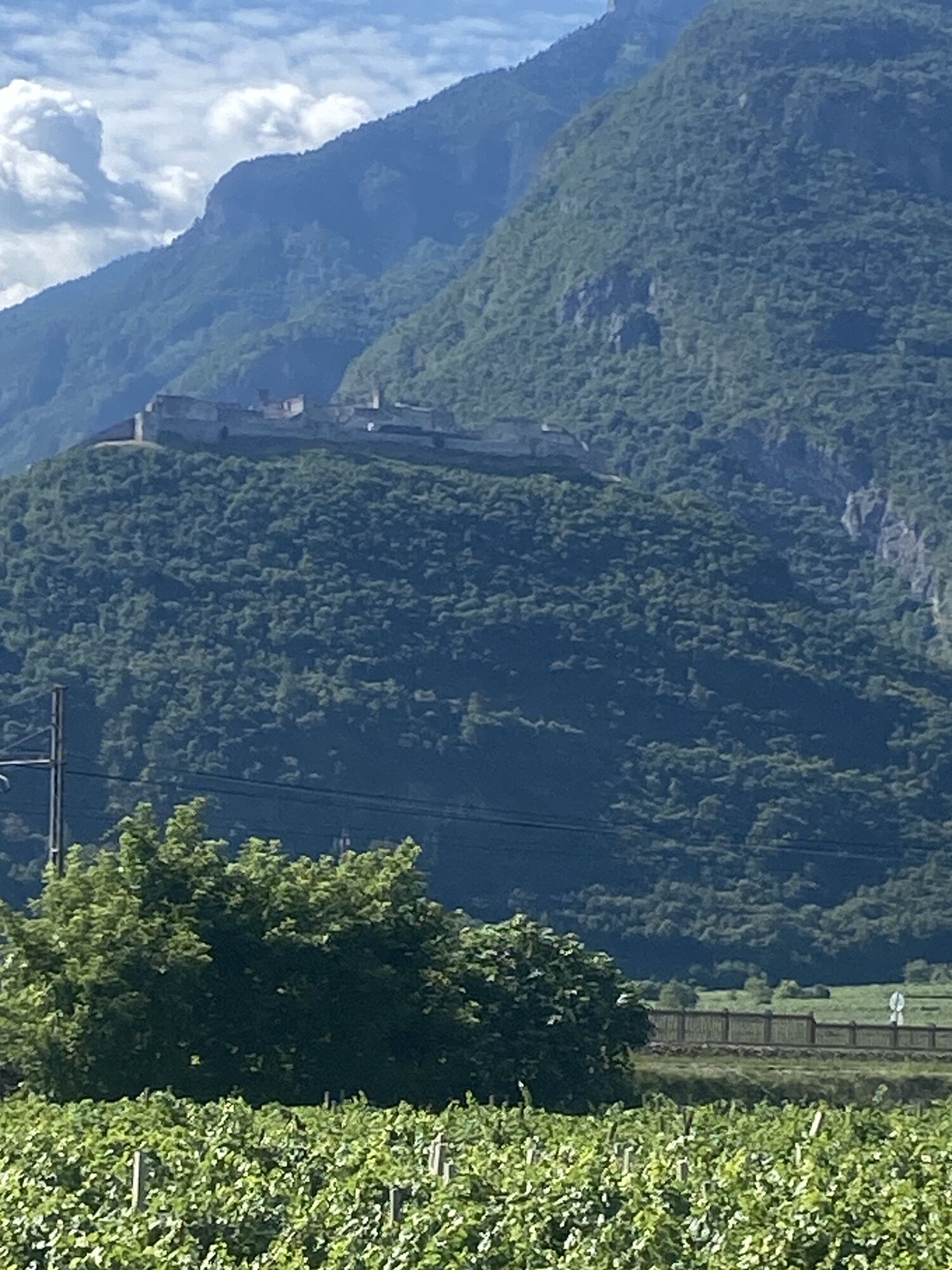
The Vallagarina (southern Trentino Valle dell'Adige. The first section of the alternative route runs through the southern part of the Adige River valley, which is still in the Alps – Vallagarina. The home of the Marzemino is full of vineyards and the impressive forts of the Austro-Hungarian monarchy. Throughout awaits the imposing fortress Beseno "Strada del Vino e dei Sapori della Vallagarina," the little Baroque jewel Villa Lagarina and the capital Region Rovereto, which impresses with its cultural opposites: the same name Castello has the largest collection of weapons and armor from the First World War. Art from the 20th century can be admired in the futuristic Mart museum. Further remains of a Roman villa and the baroque town of Ala can be admired to the south in Isera.

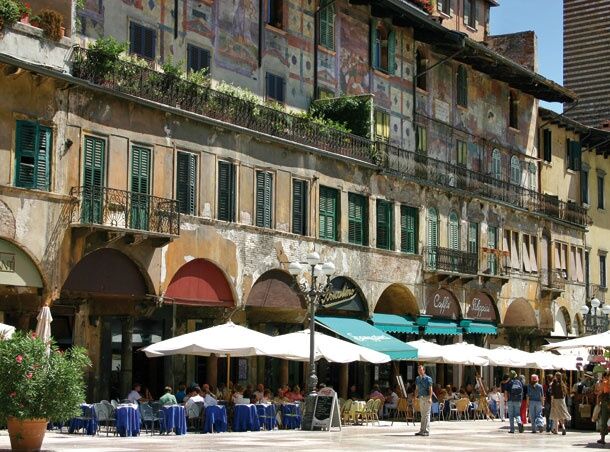
The Valpolicella and Verona level: This section accompanies the Adige river from the Alps, into the planes of the Valpolicella and Verona. With the place Dolcè begins, soon after the border between Trentino and Veneto, the level of Valpolicella, which means as much as place with many wineries. Soon after follows Verona with its world-famous Roman arena for 25,000 visitors and city center on the Piazza Erbe which has existed since Roman times. Nearby is the famous House of Juliet, the hapless lover Romeo.

From Verona to Ostiglia along the Po: The last section of the alternative route leads through the plains of Verona to the rice city of Ostiglia on the river Po, where there was once an important Roman river port. Throughout lie Sommacampagna and Isola della Scala. In the Archaeological Museum in Nogara the history of the region can be admired, starting from the pile dwellings of the Etruscans. Along the way we encounter the first rice fields that accompany the route to the town of Ostiglia on the Po. The ancient city port of Hostiglia is continued today in the numerous artefacts that are preserved in the Palazzo Foglia from the 19th century, the towers of the medieval fortress, the buildings from the 18th century and the church of Santuario della Madonna dell Comuna.
Anreiseinformationen
Anreise

In Trento finden sich mehere Parkmöglichkeiten, Details zur Anreise finden sich hier.


Öffentliche Verkehrsmittel

ÖBB www.oebb.at


Wandern & Tracking

Wandern & Tracking

für iOS herunterladenfür Android herunterladen
Wandern & Tracking
Über 550.000 Tourenvorschläge, detailliertes Kartenmaterial und ein intuitiver Routenplaner machen die App zum Must-have für alle Naturbegeisterten.
bergfex