







Family walk to Tannenhütte at Mount Wank
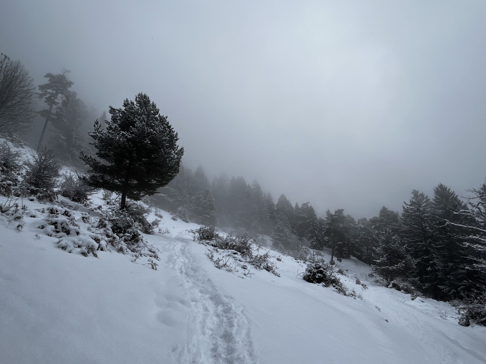
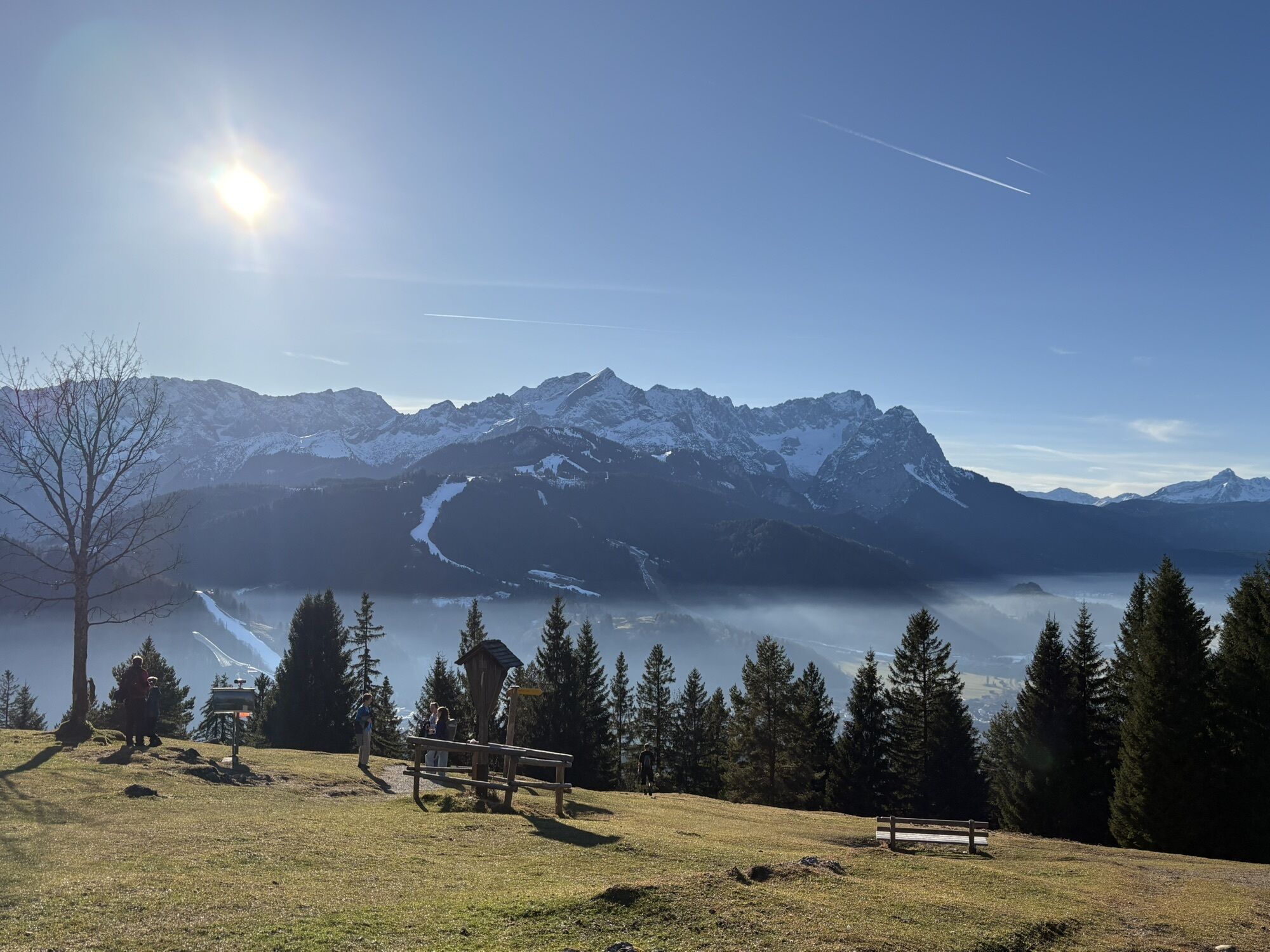
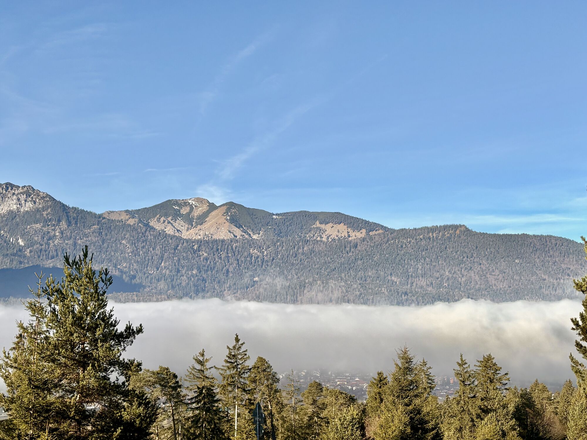
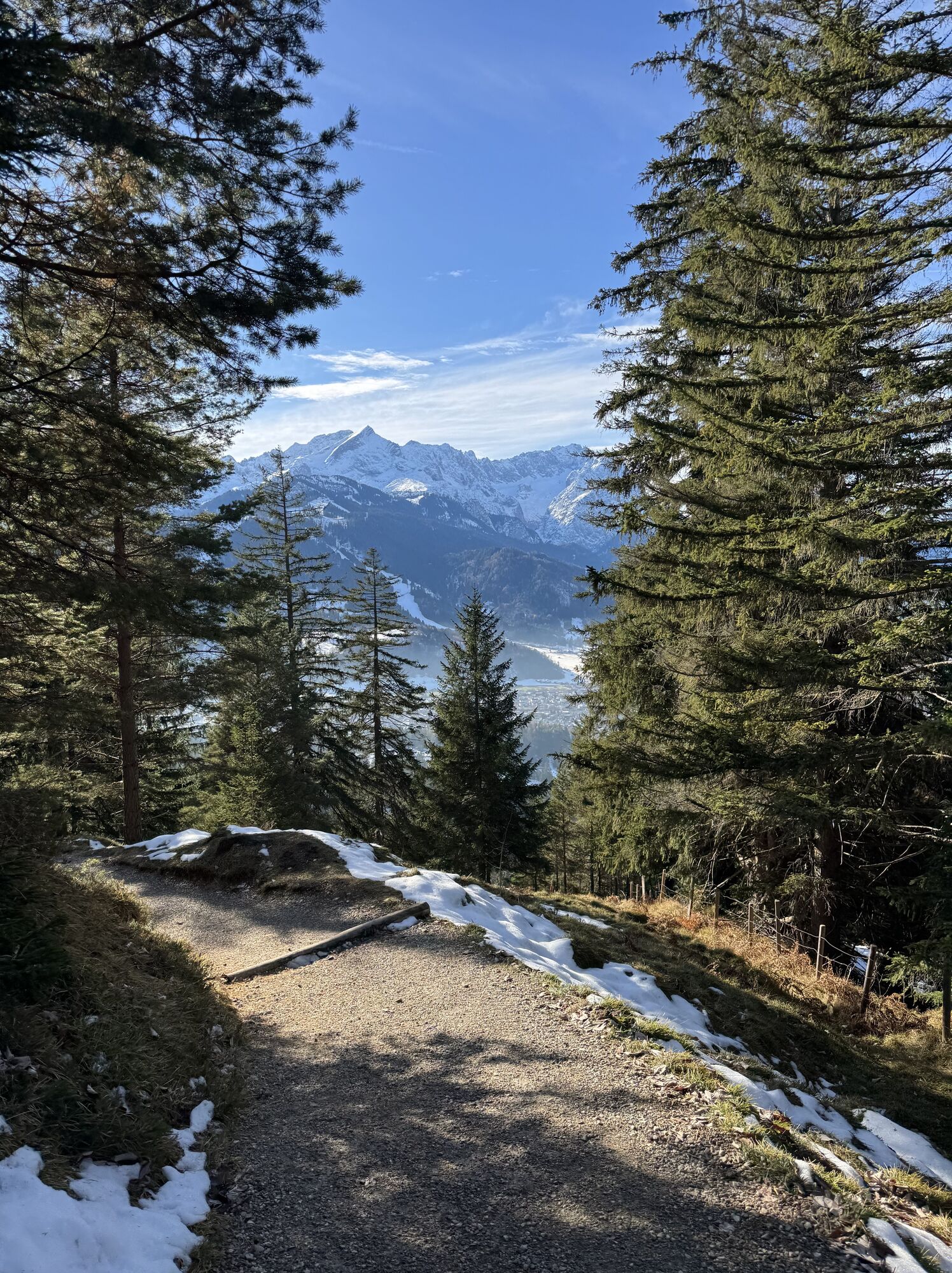
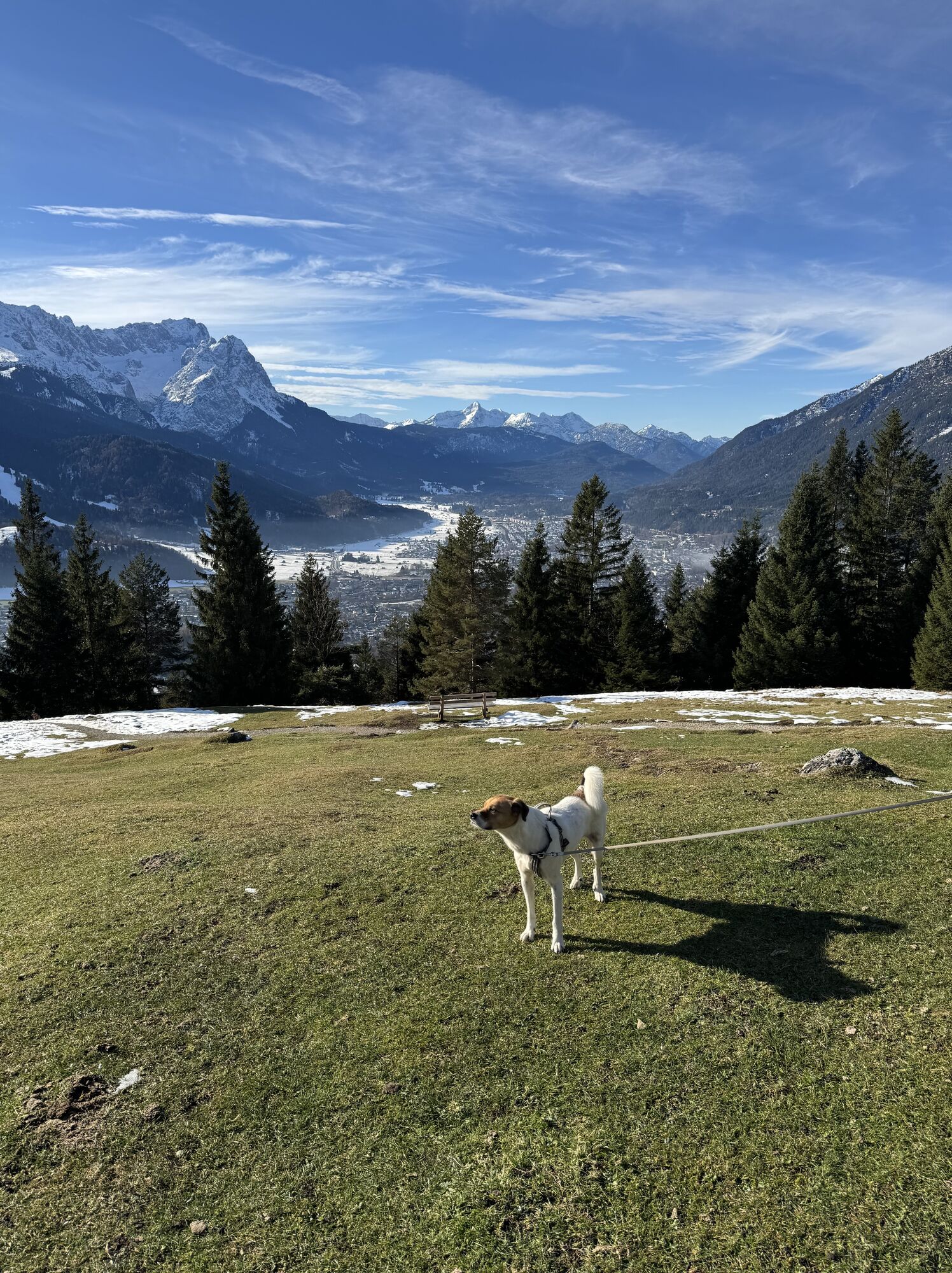
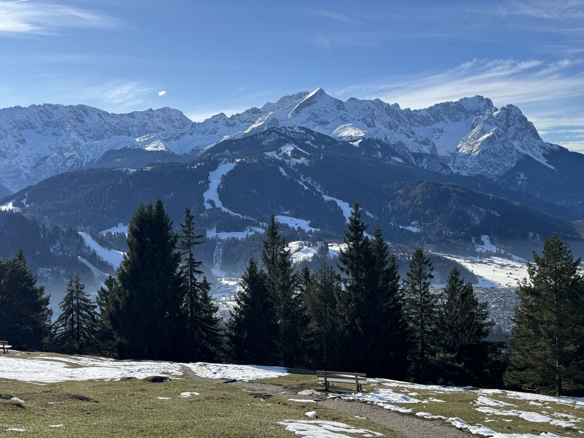
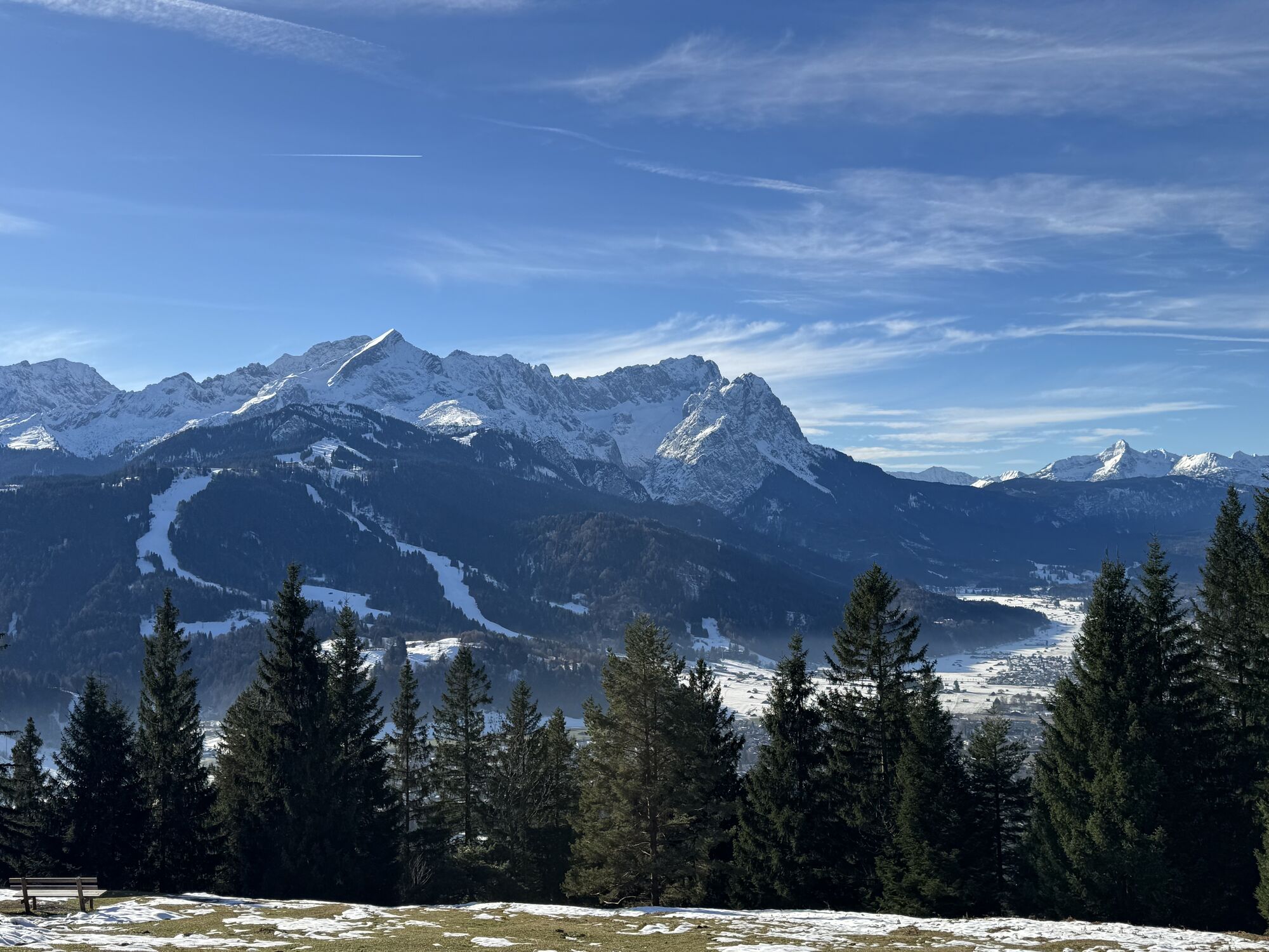
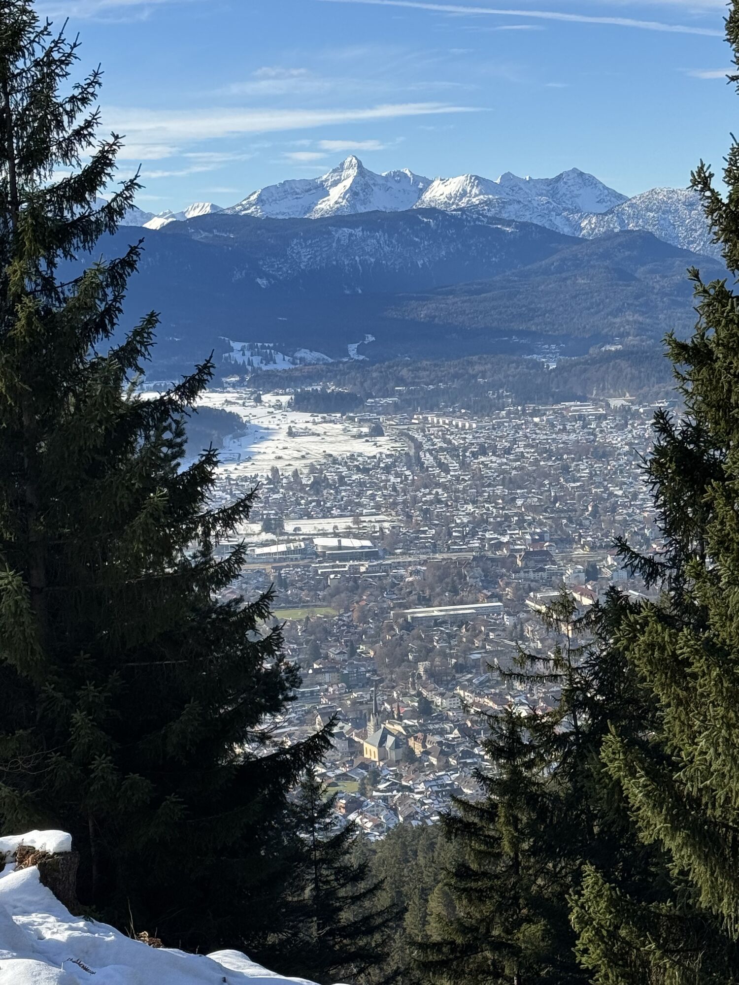
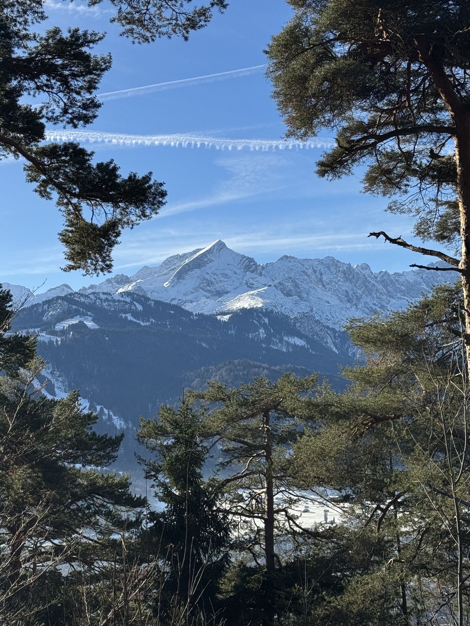
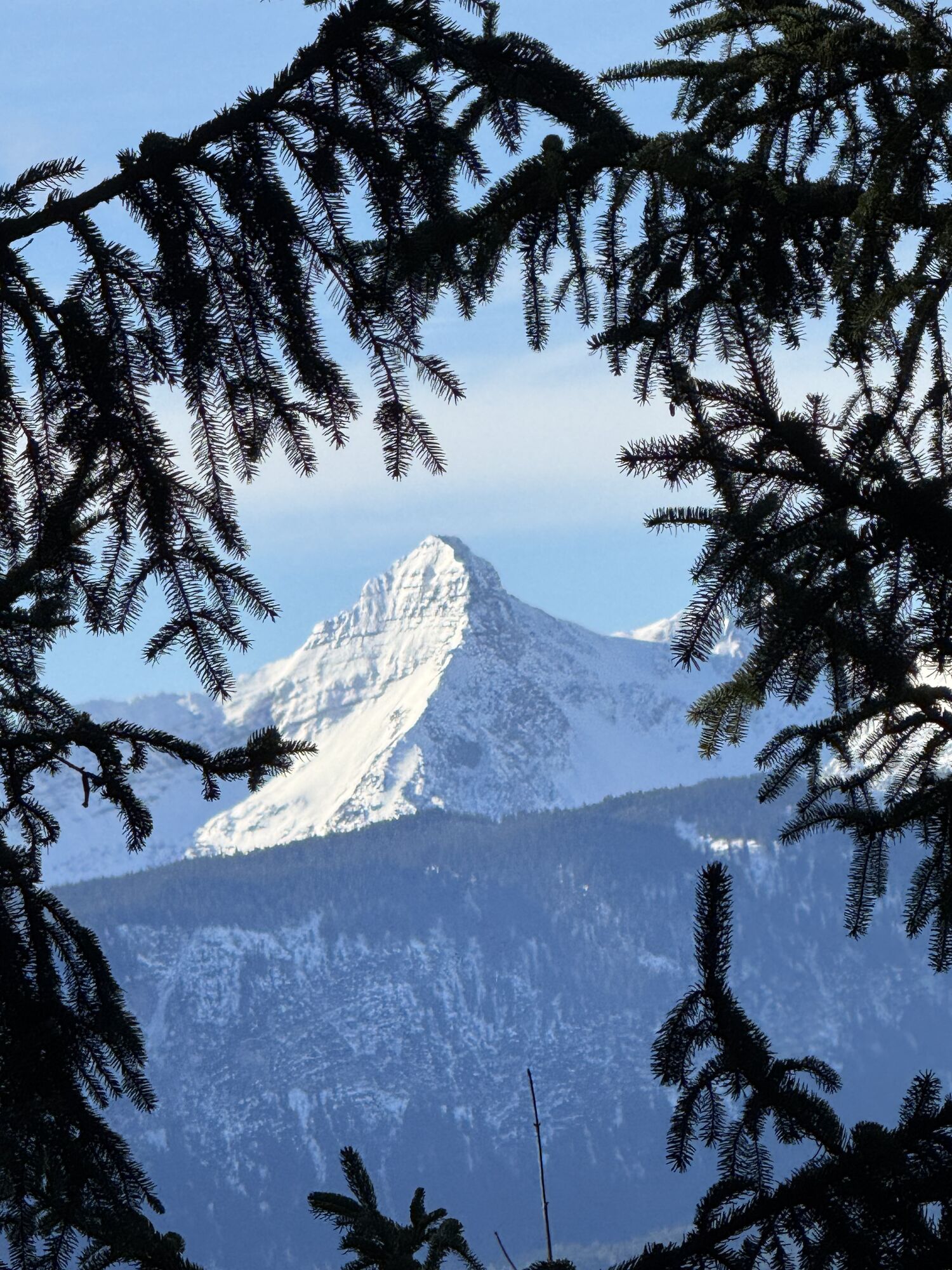
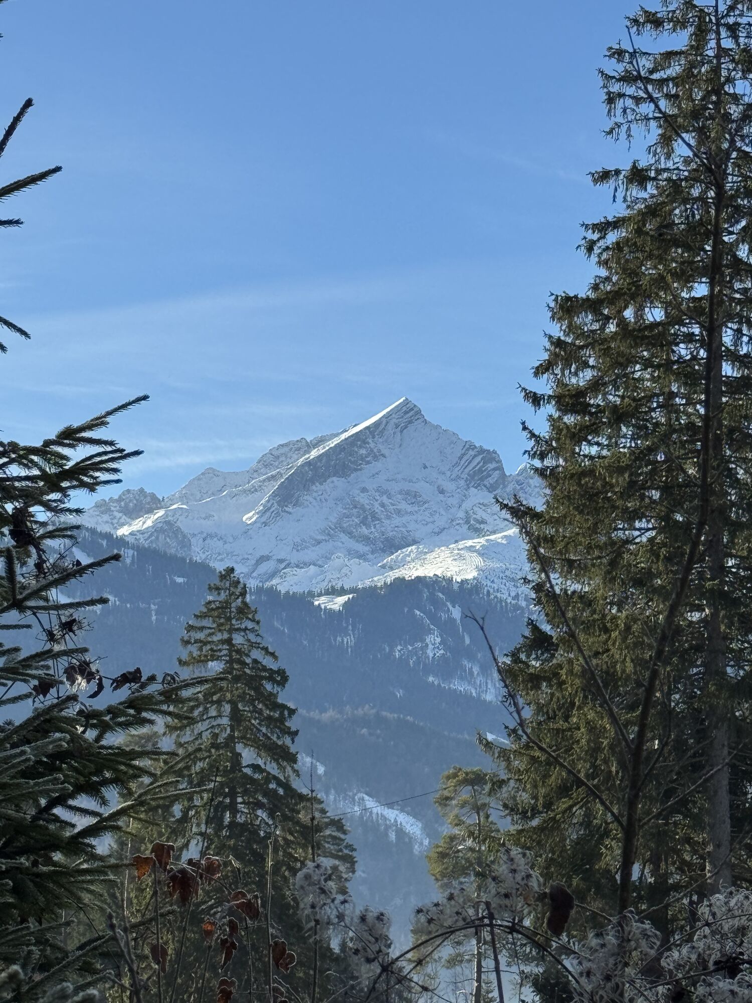
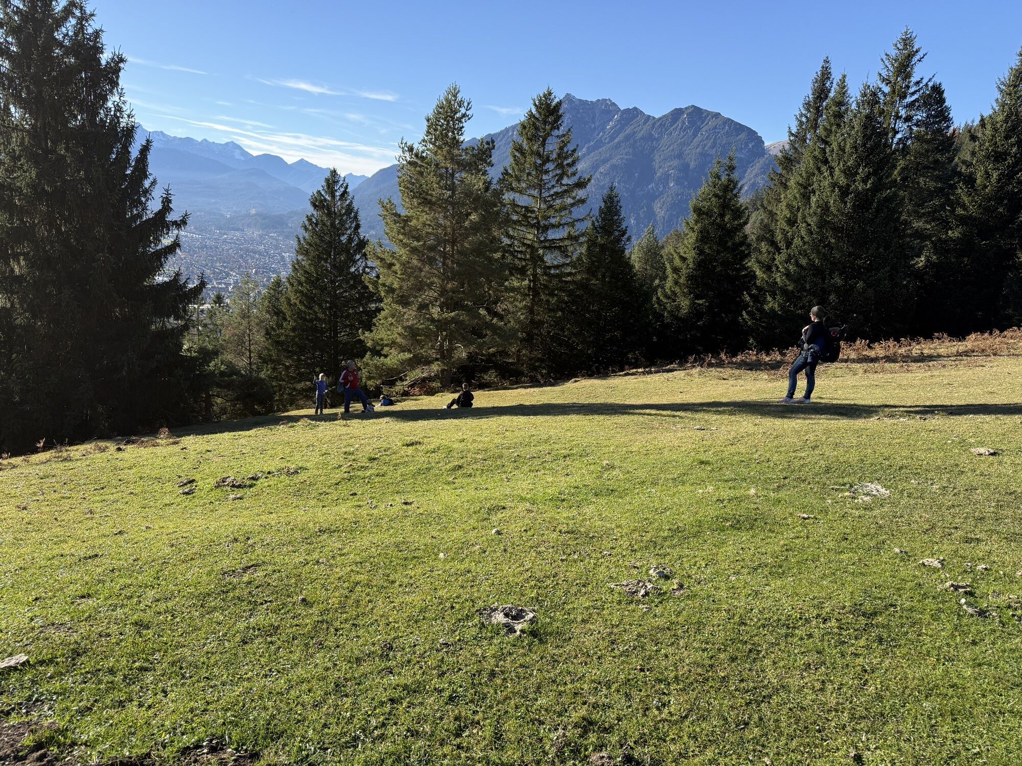
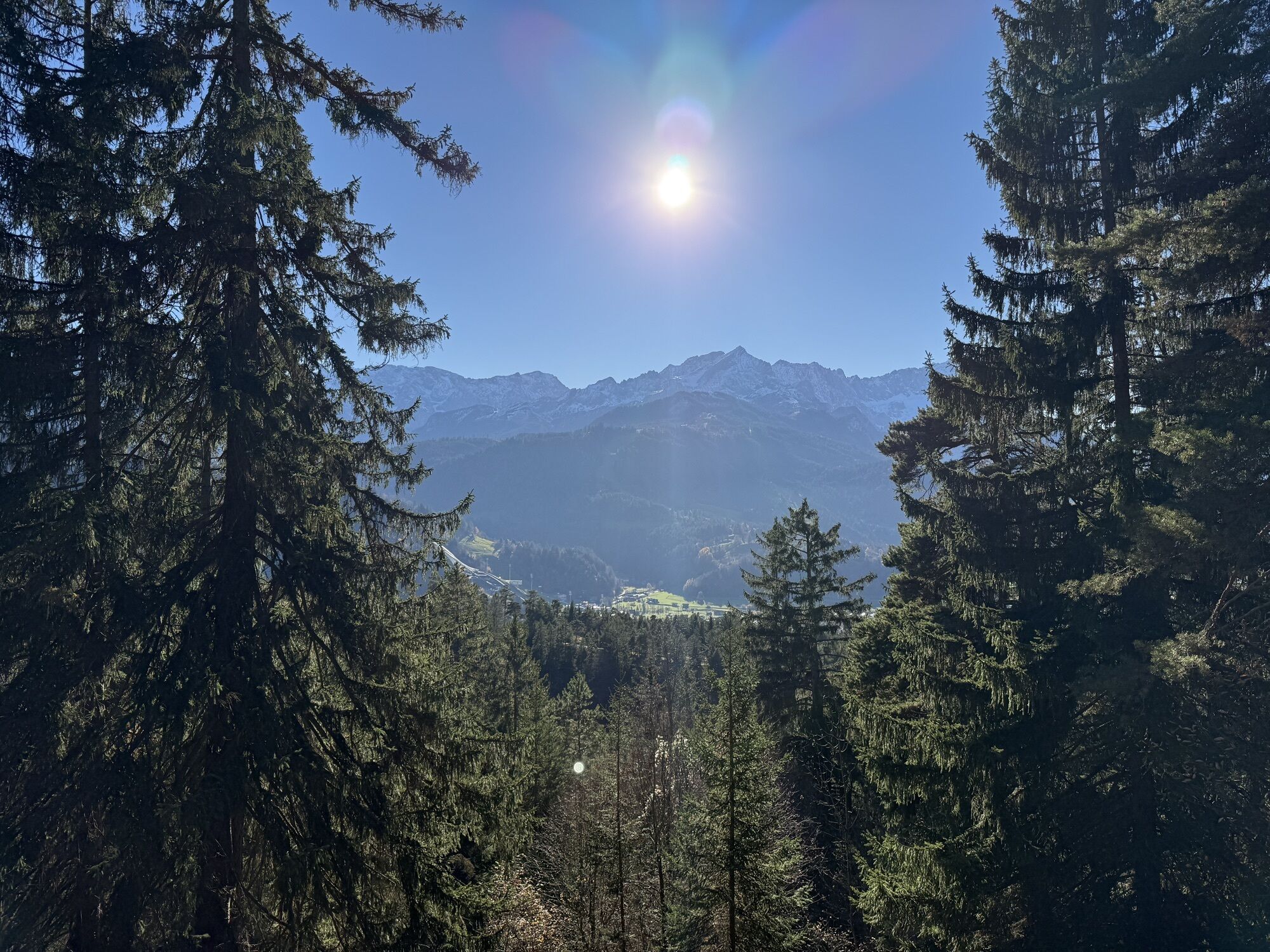
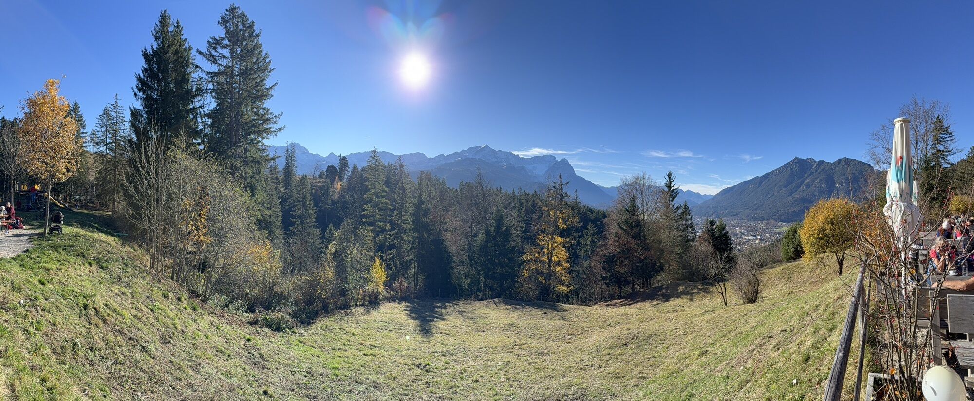
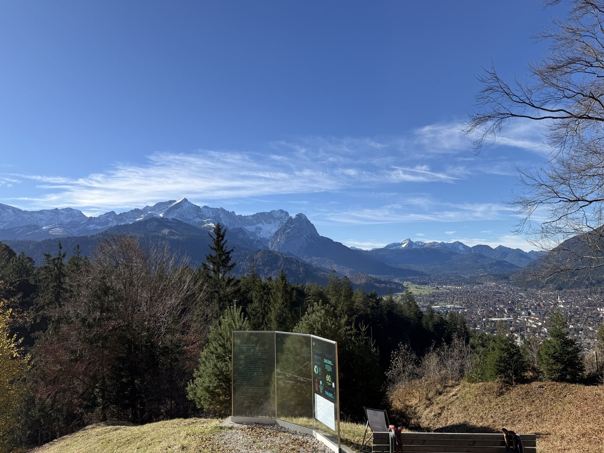
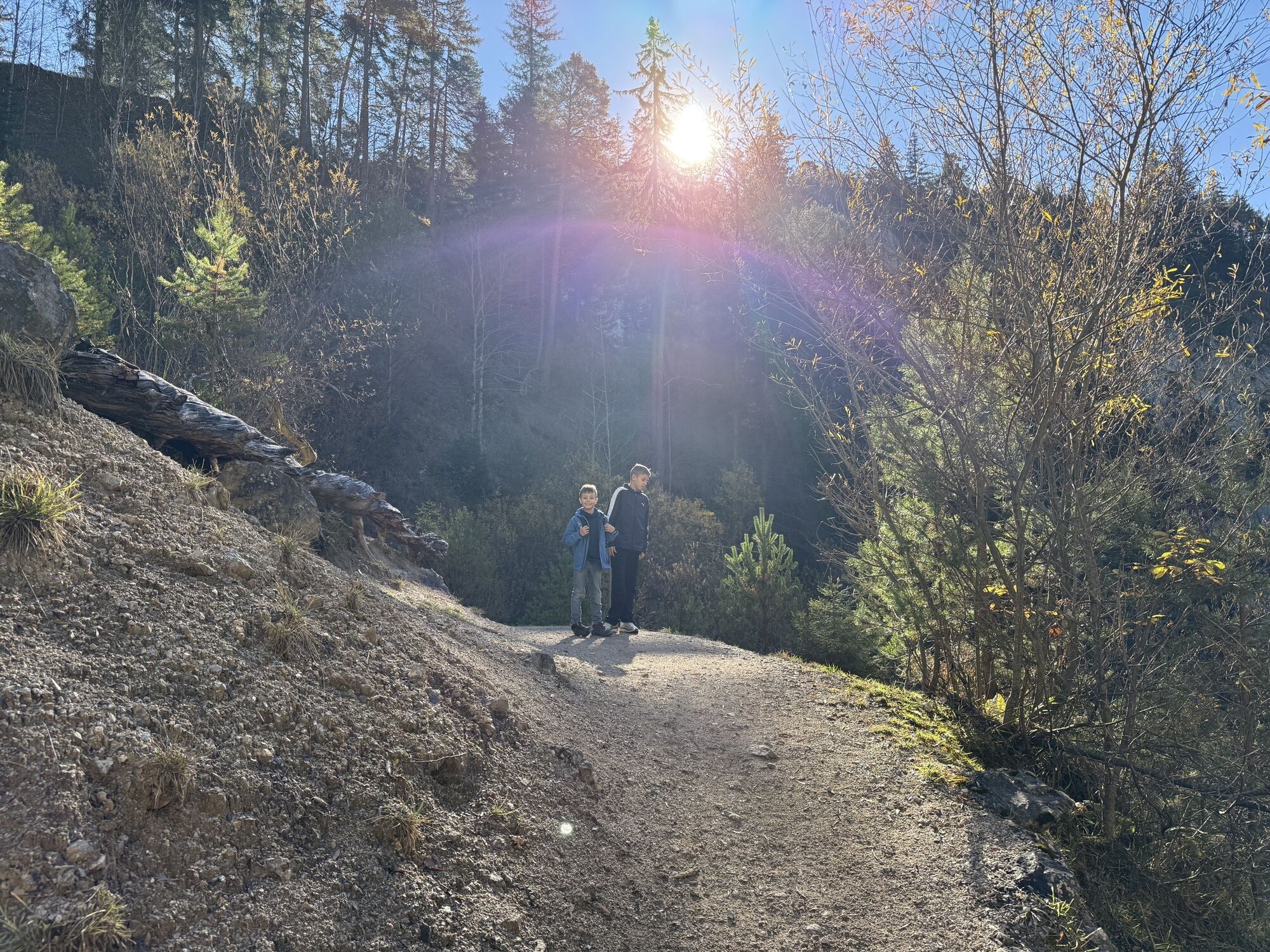
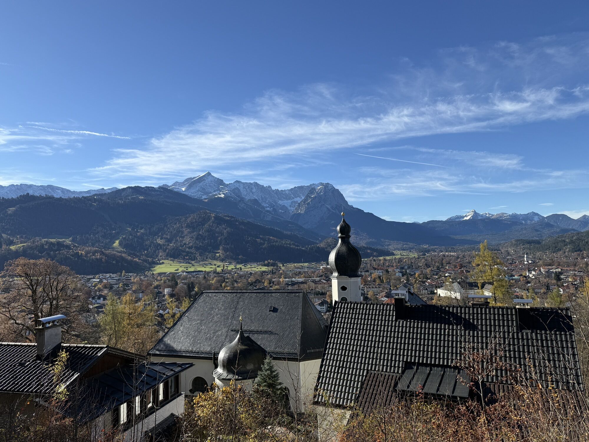
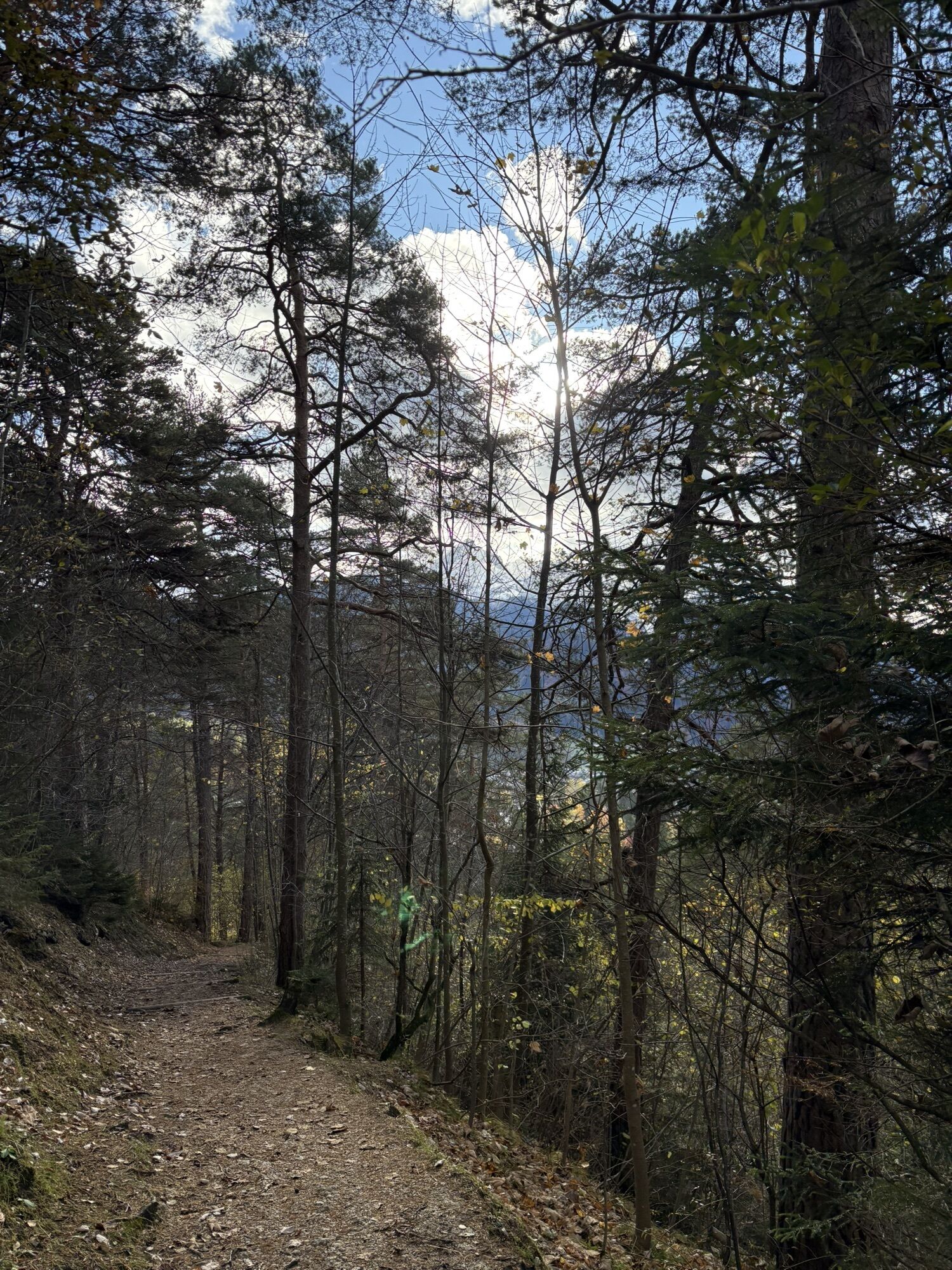
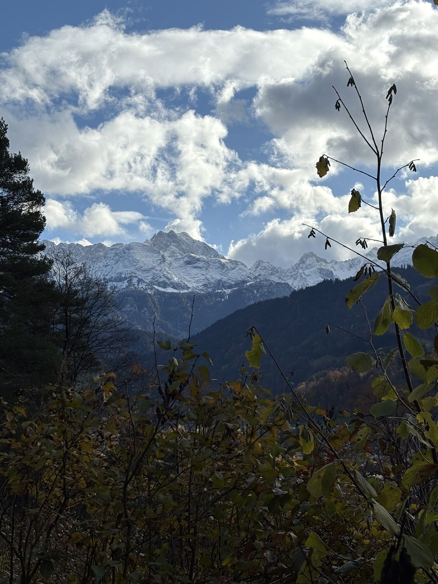

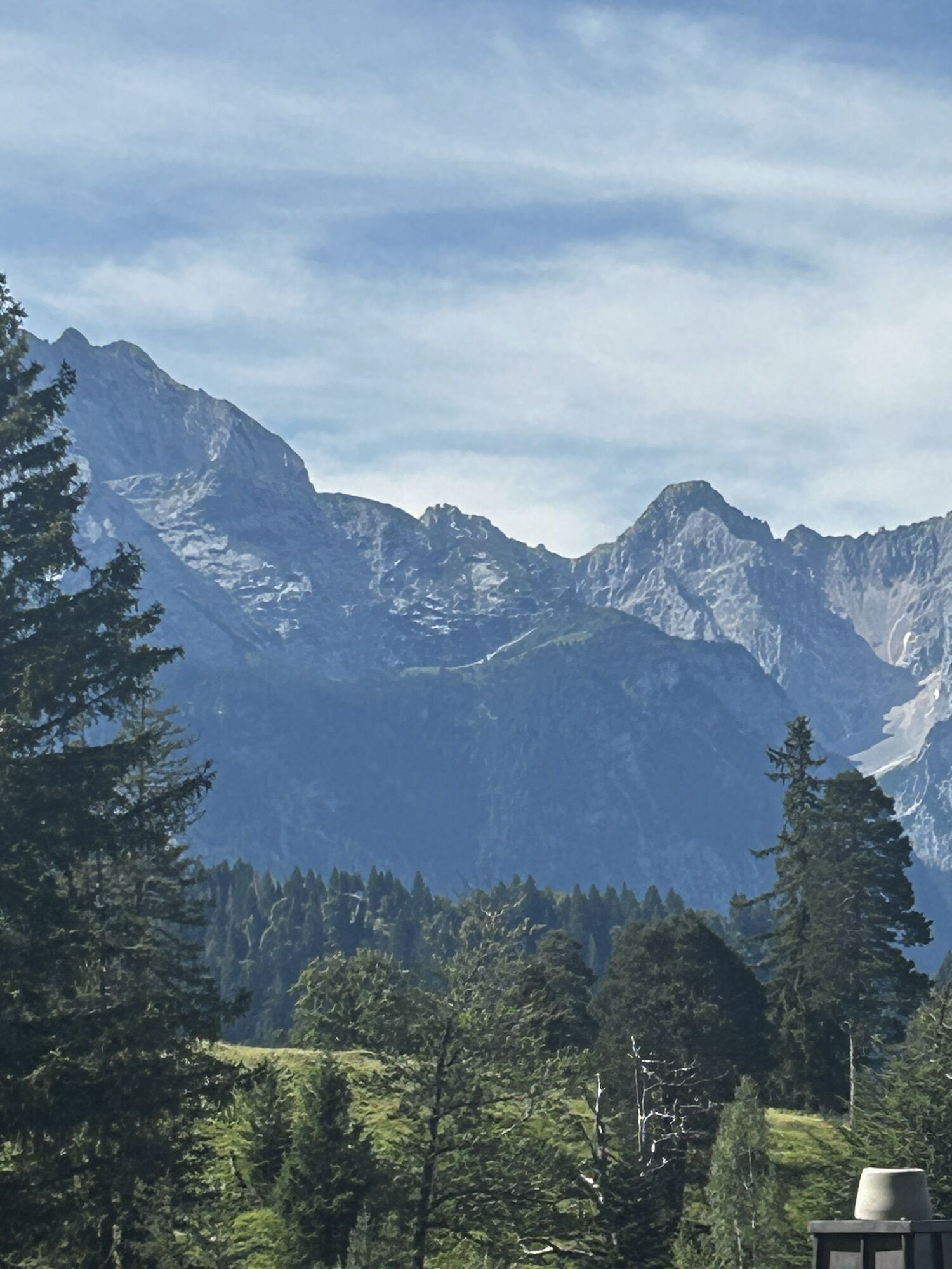

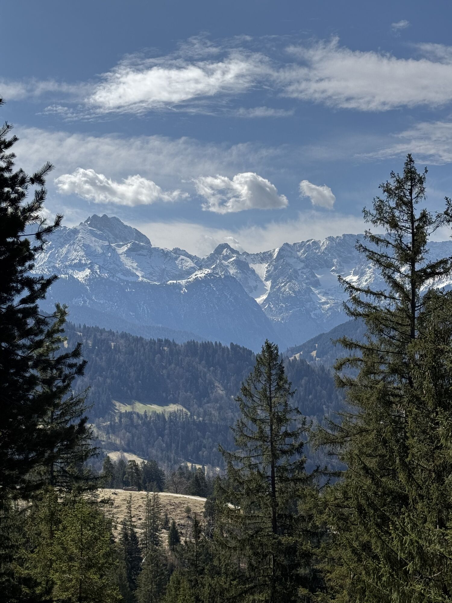
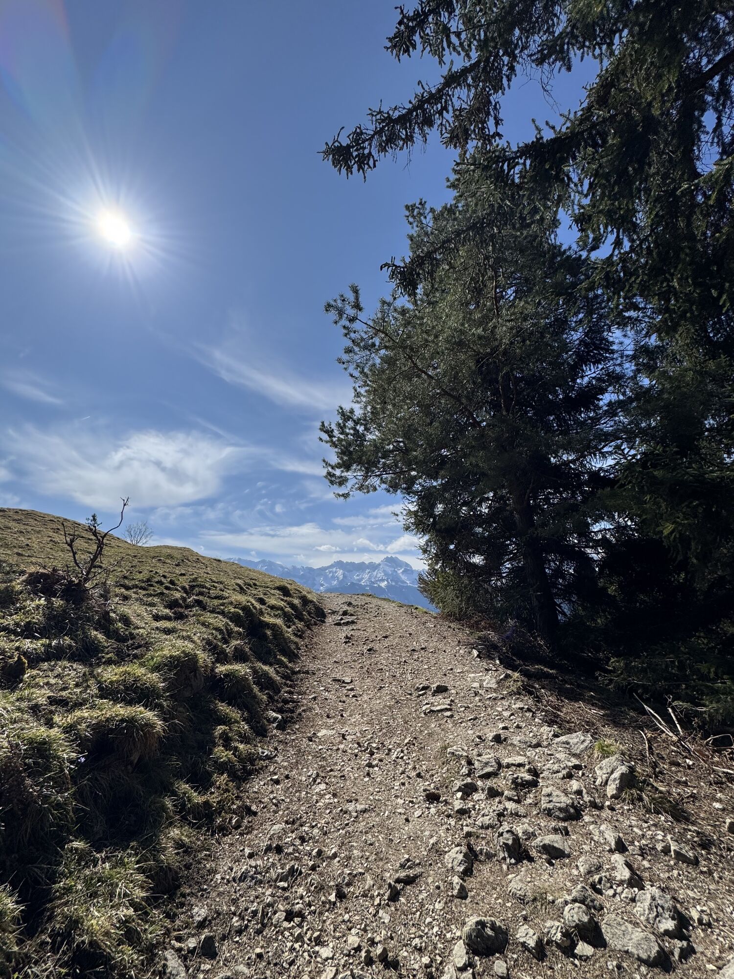
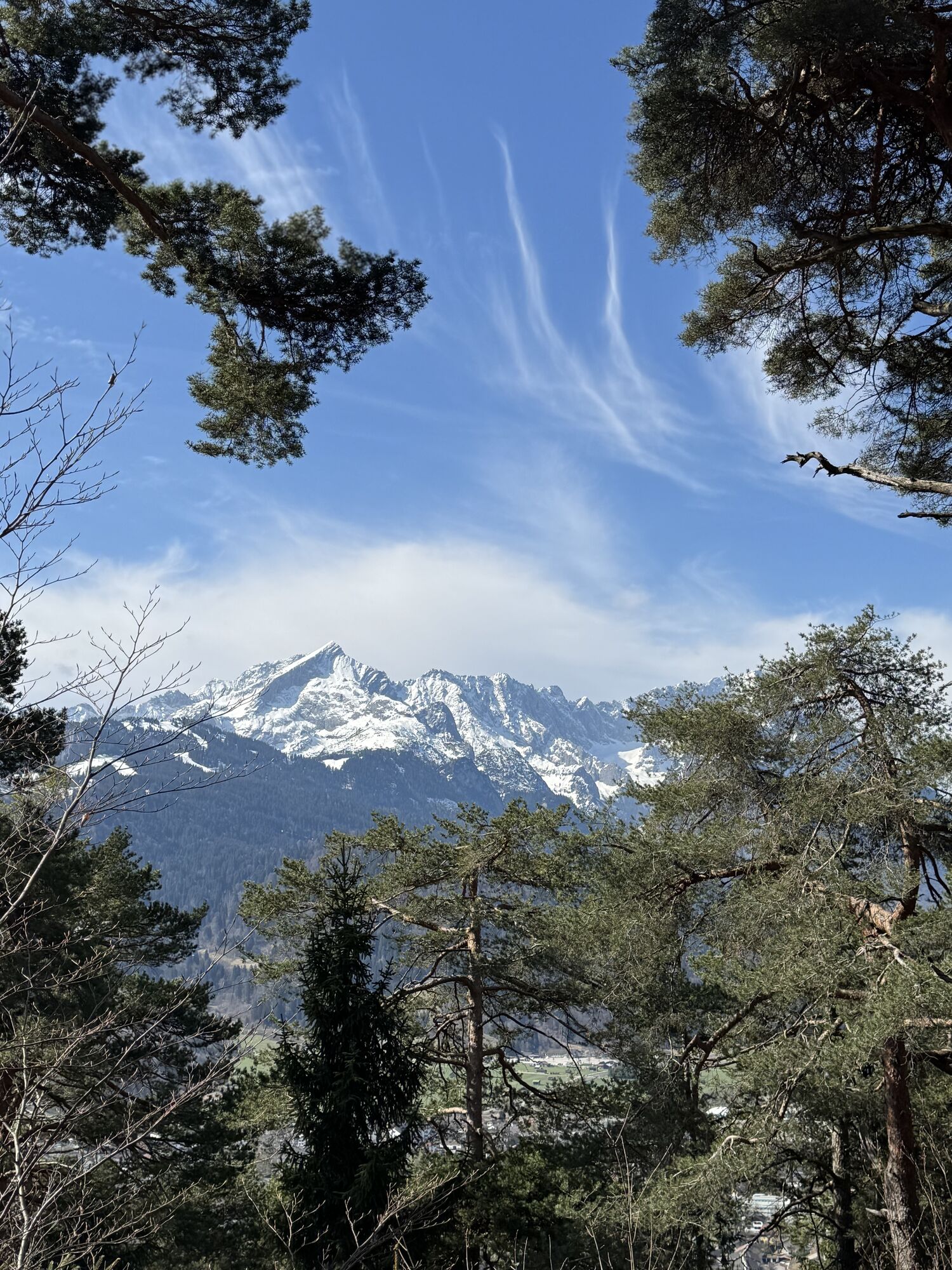
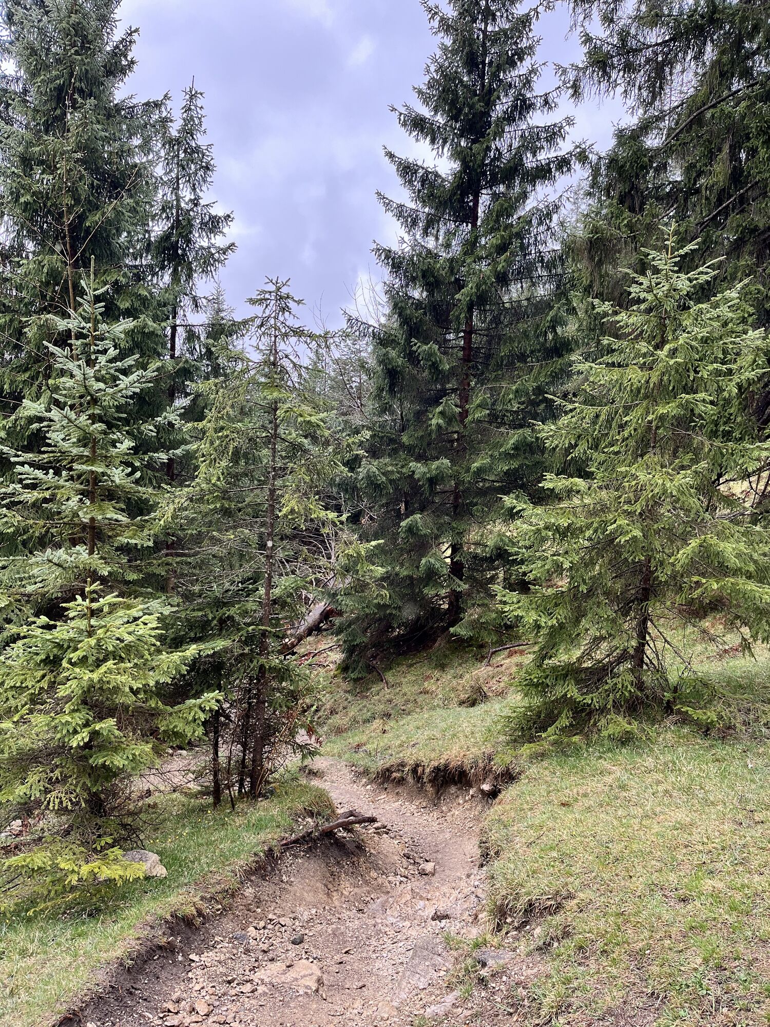
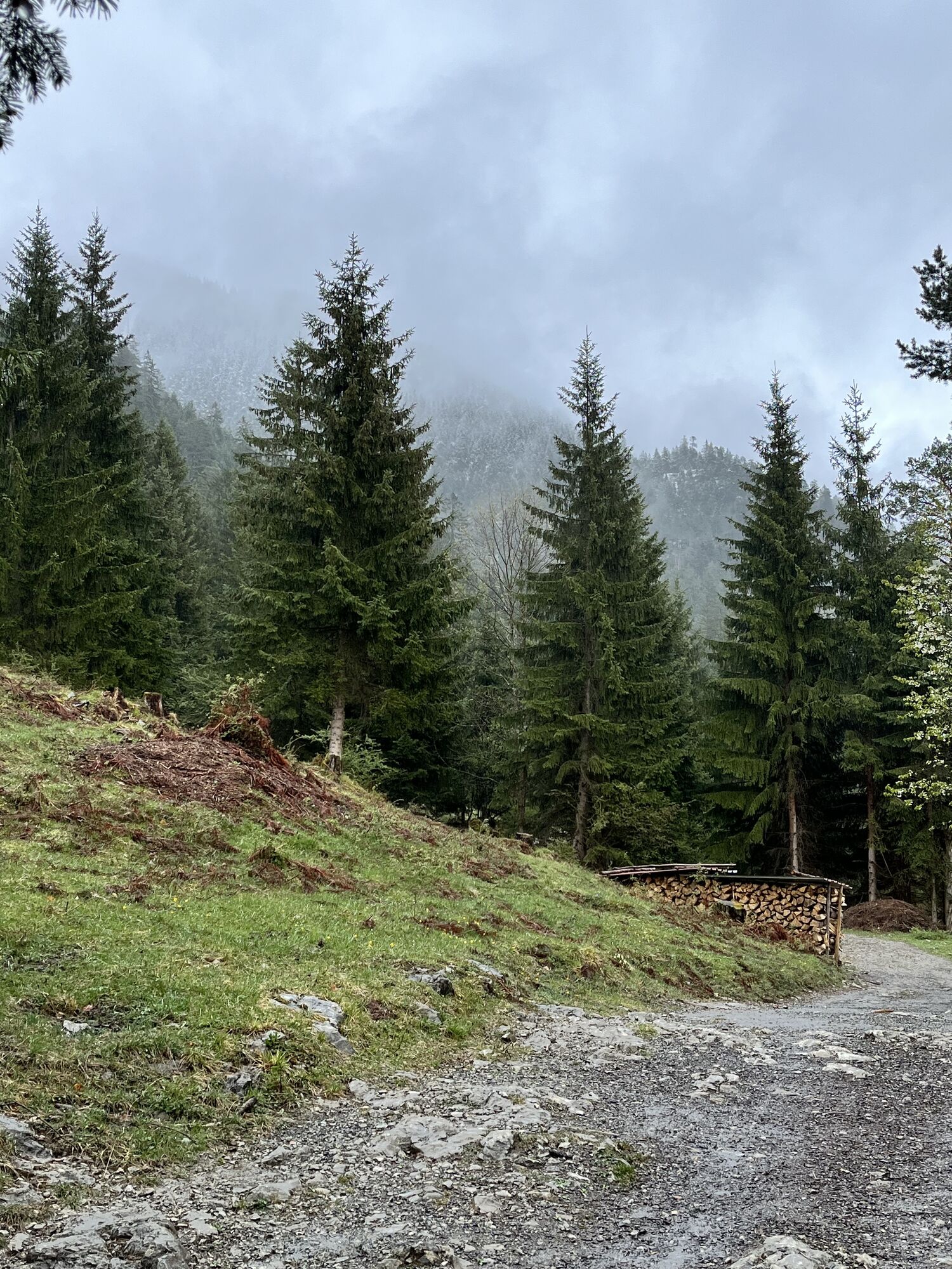
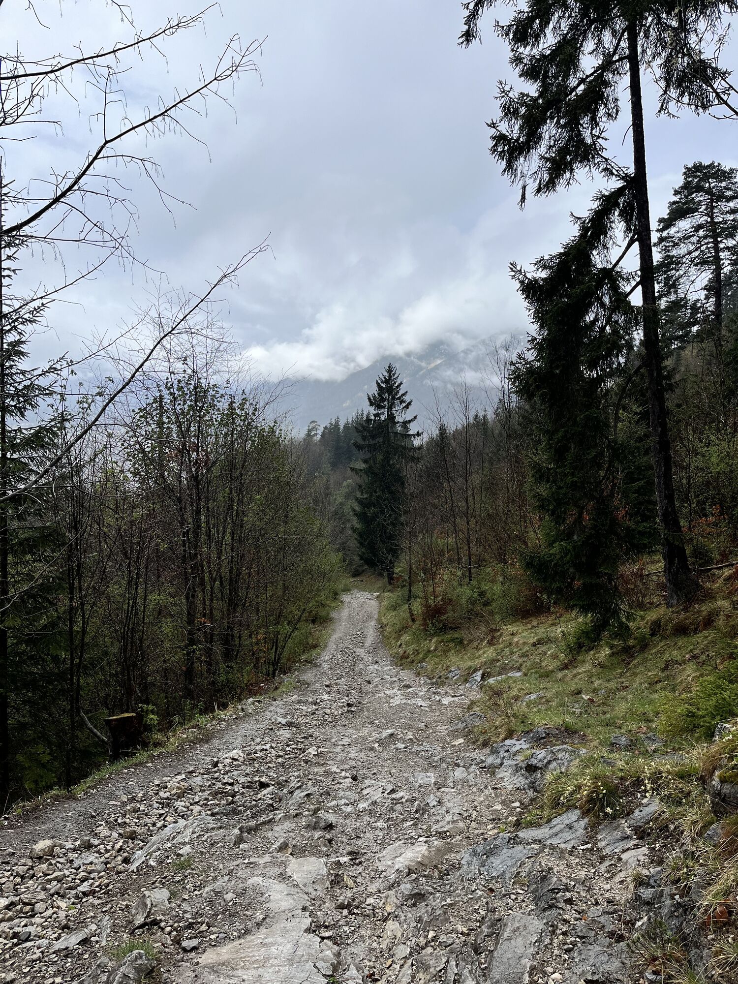
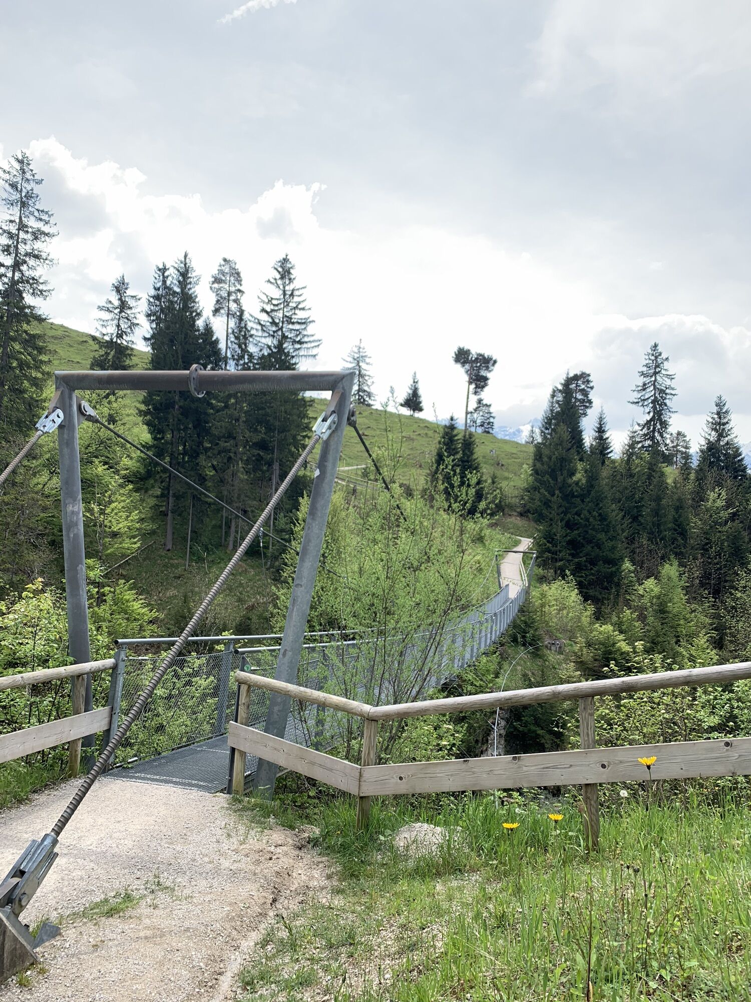
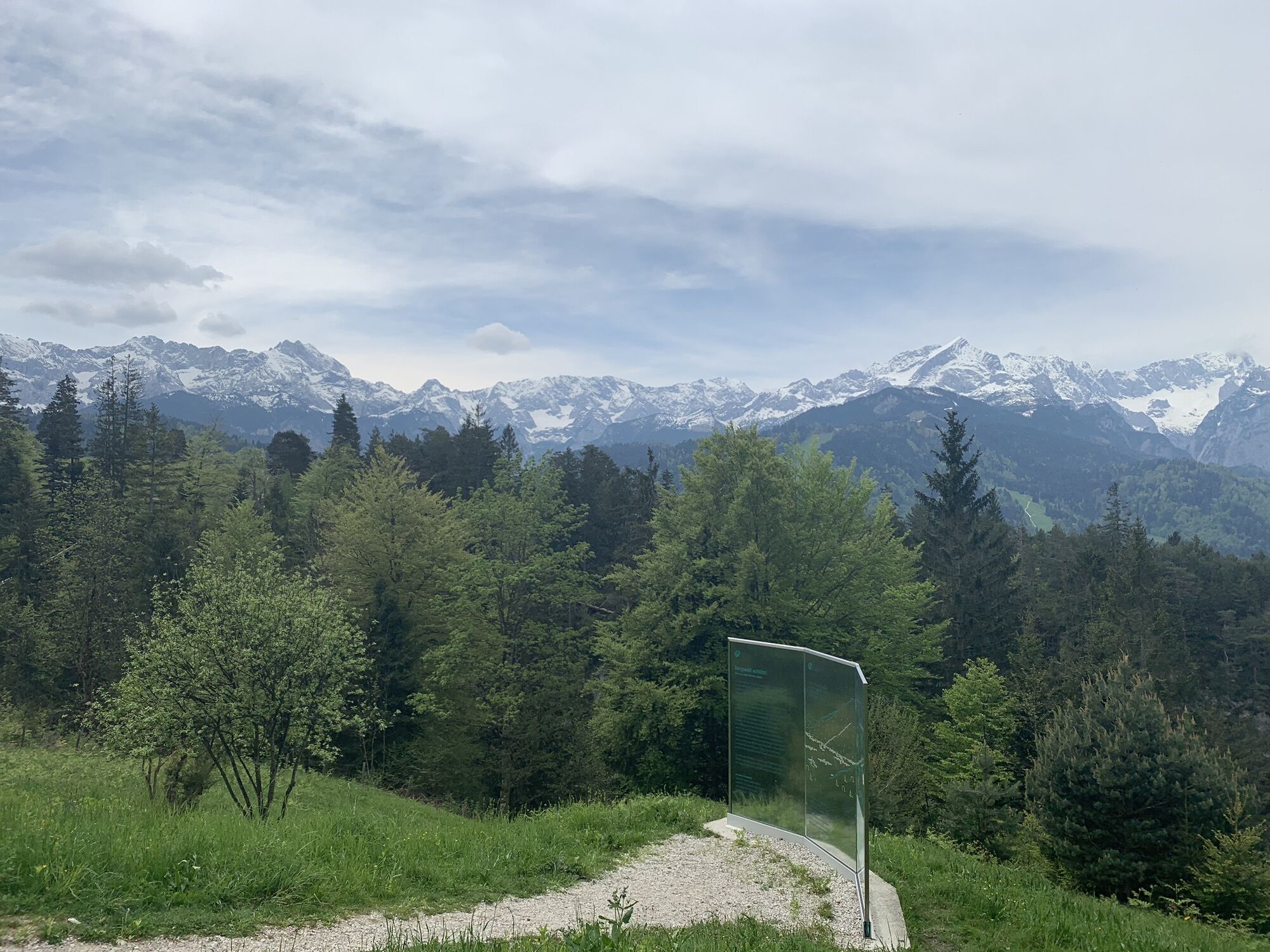
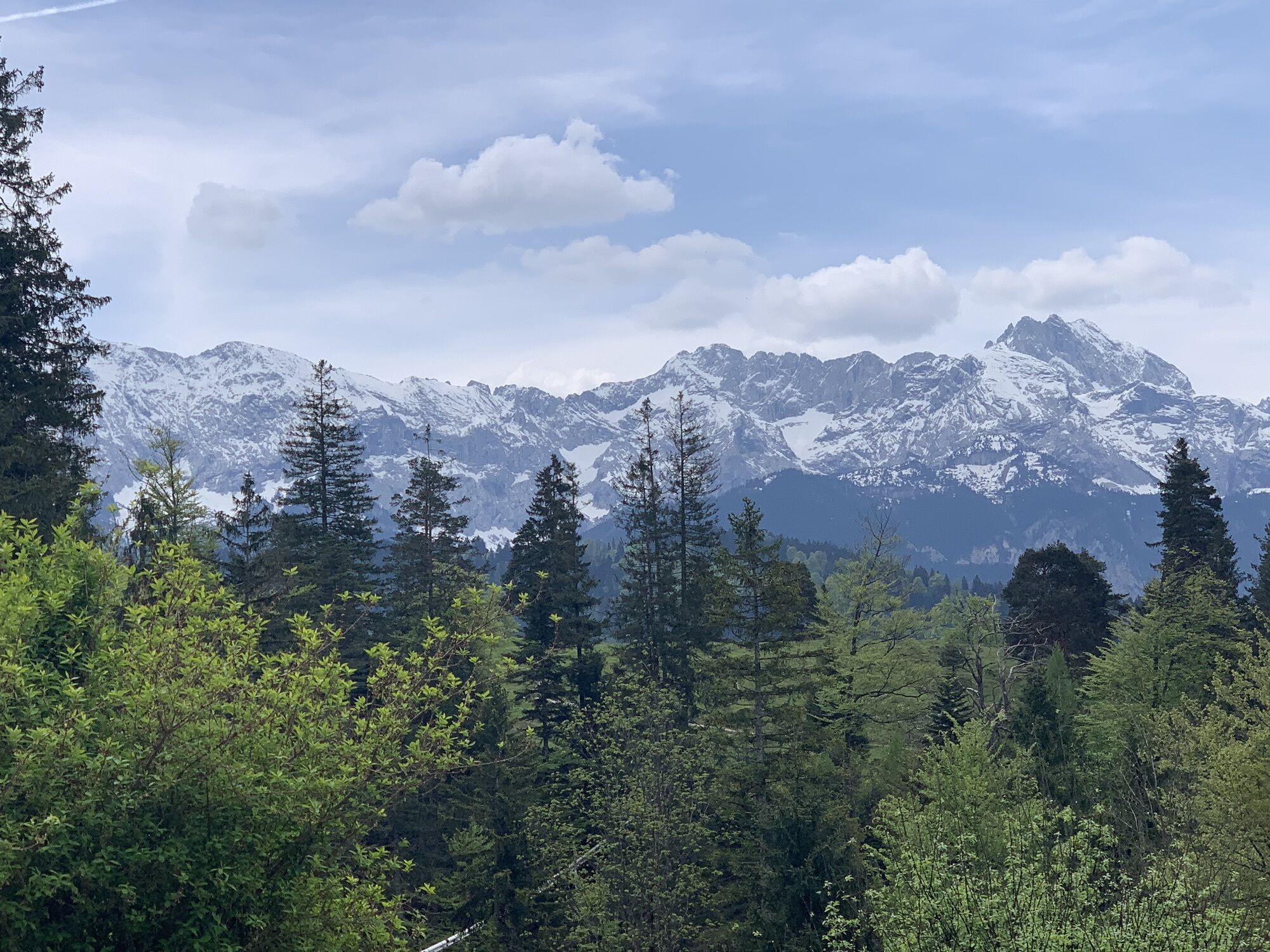
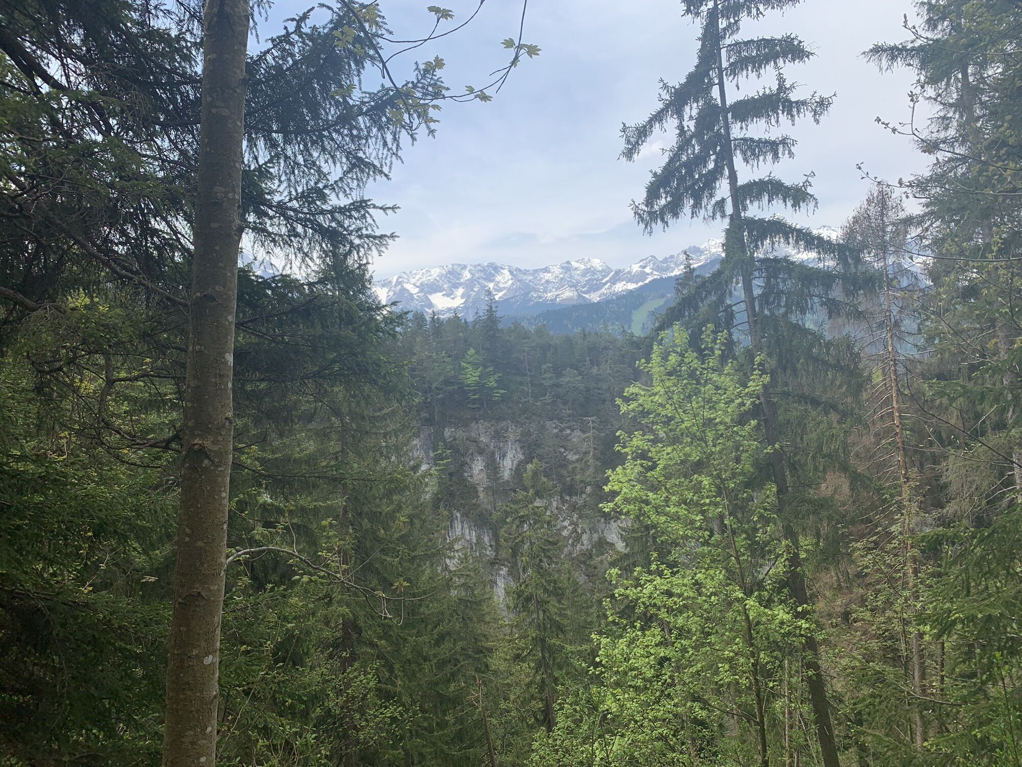
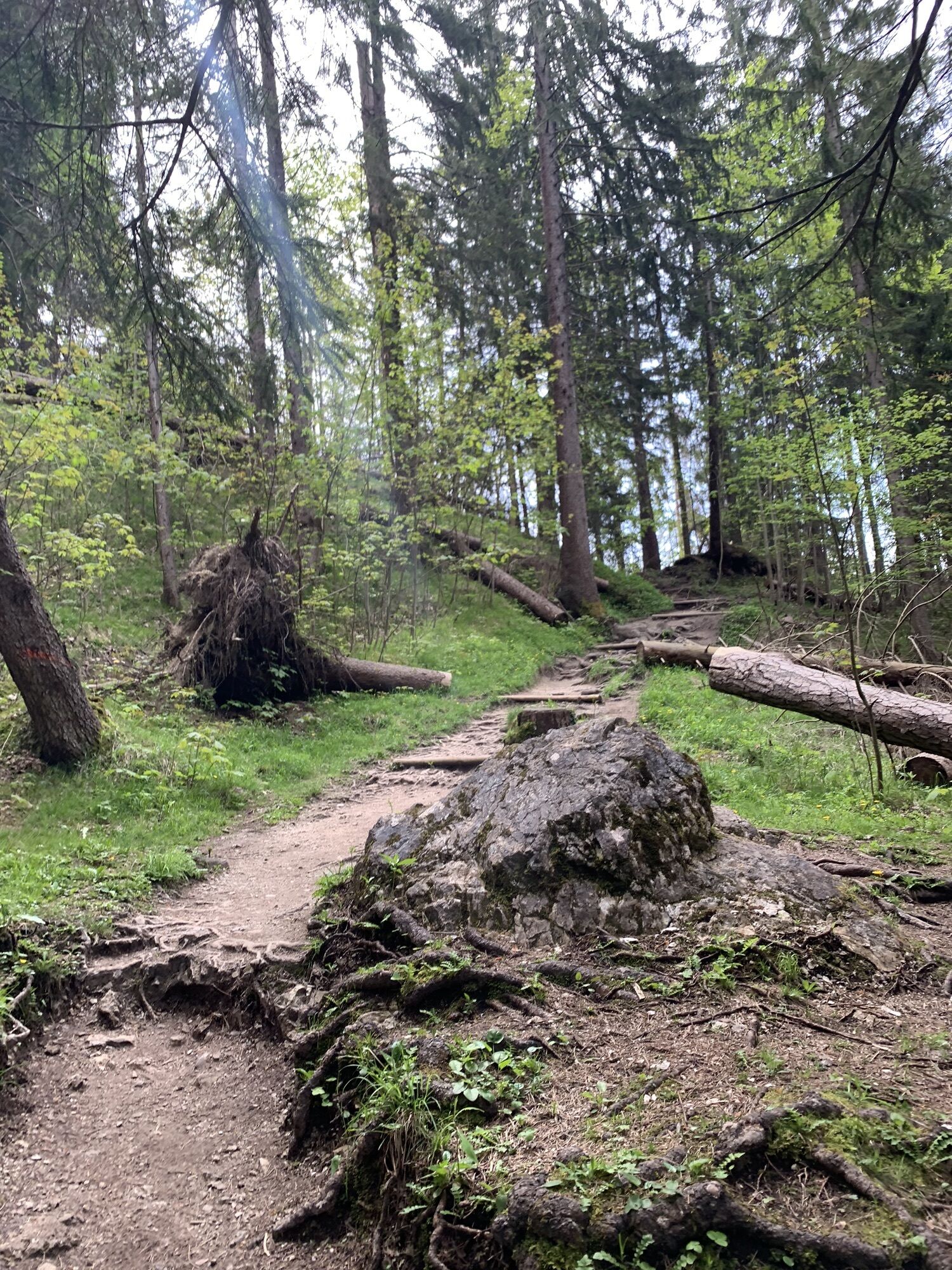
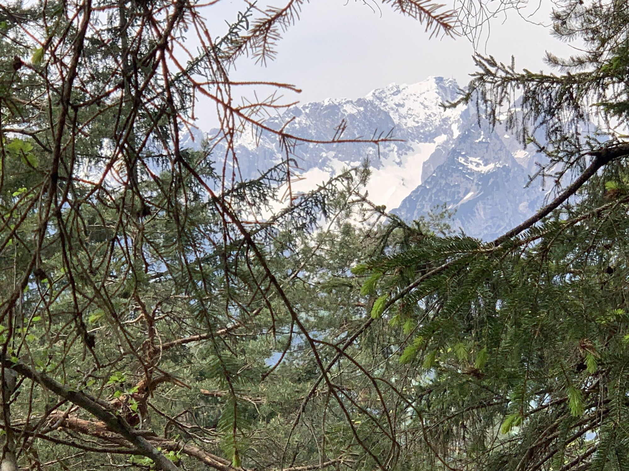
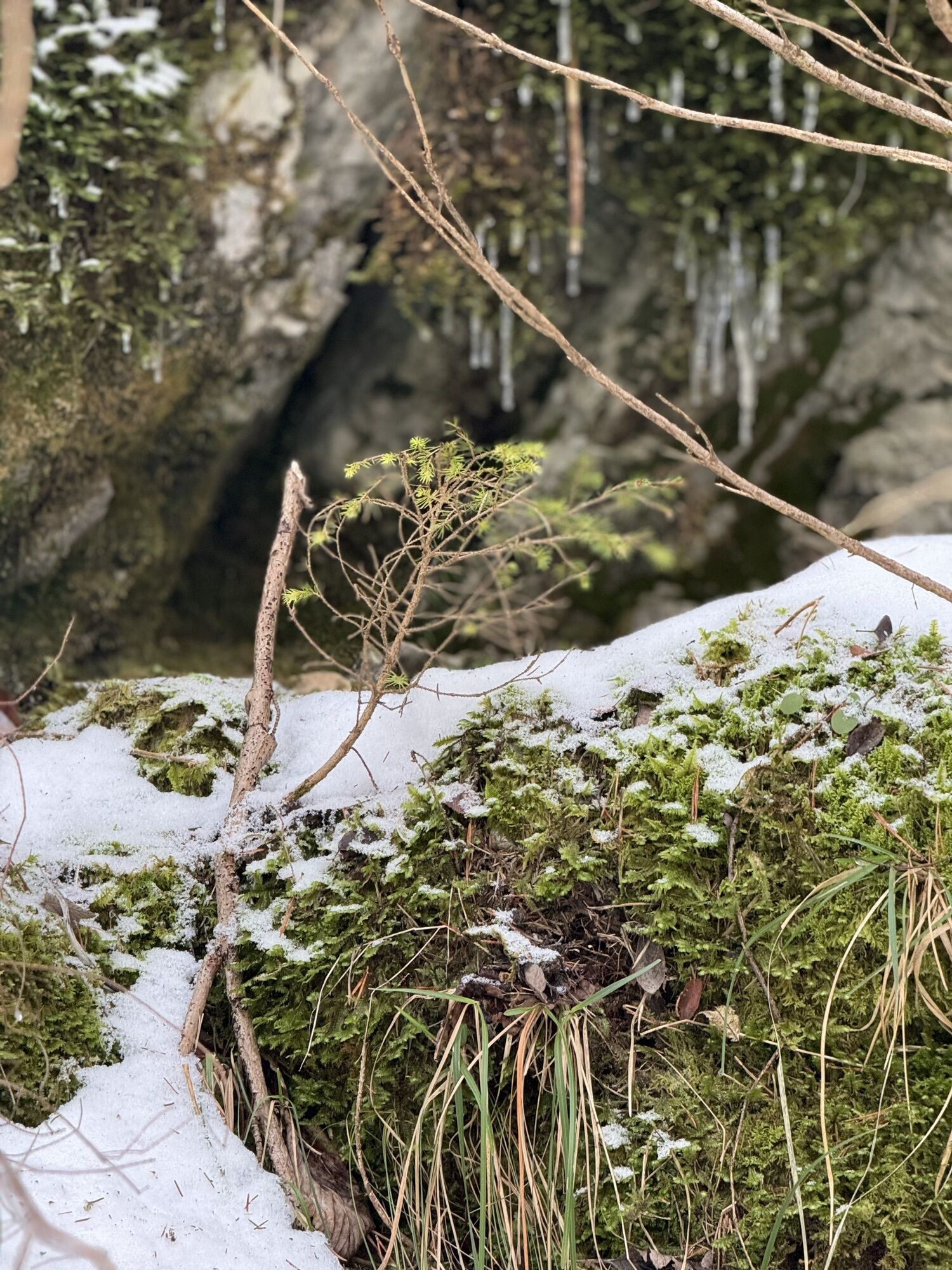
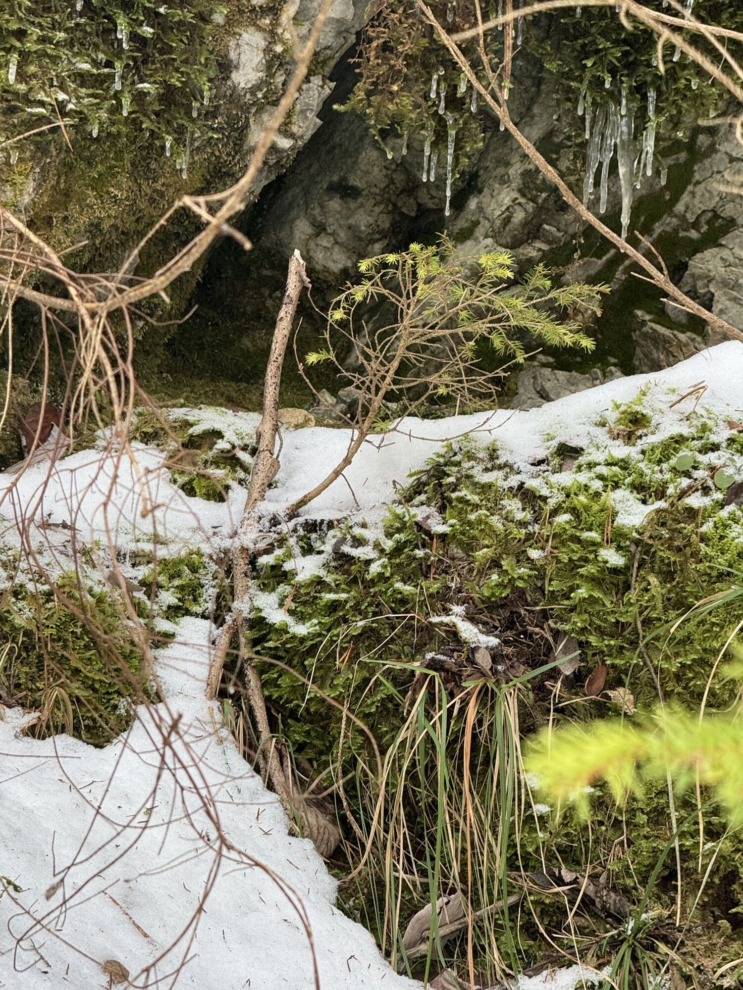
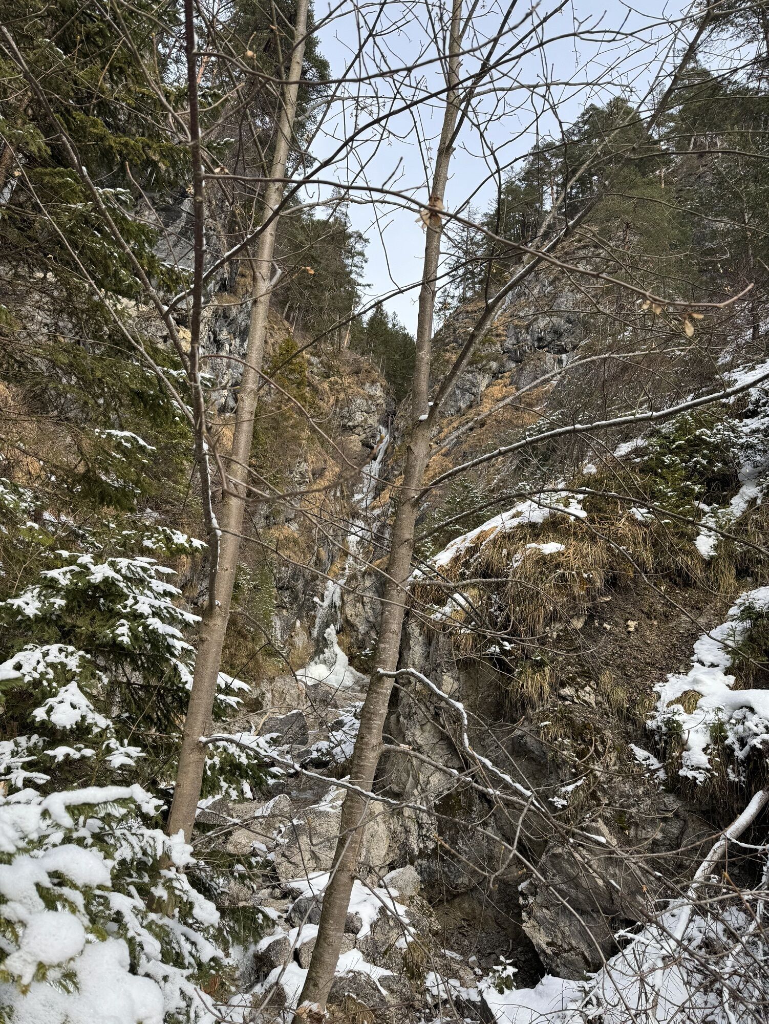
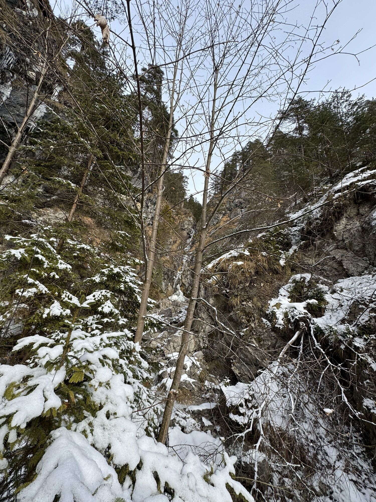
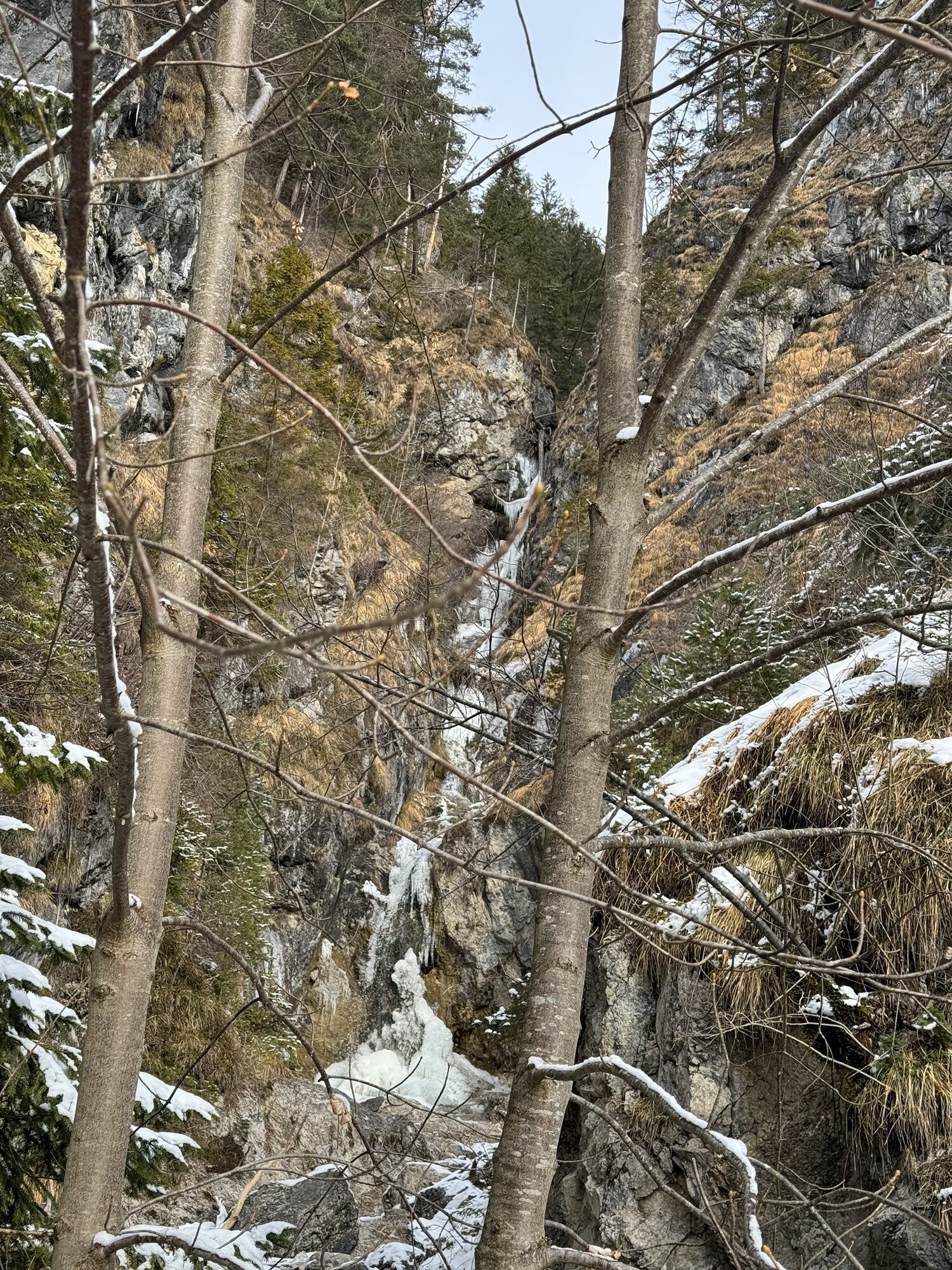
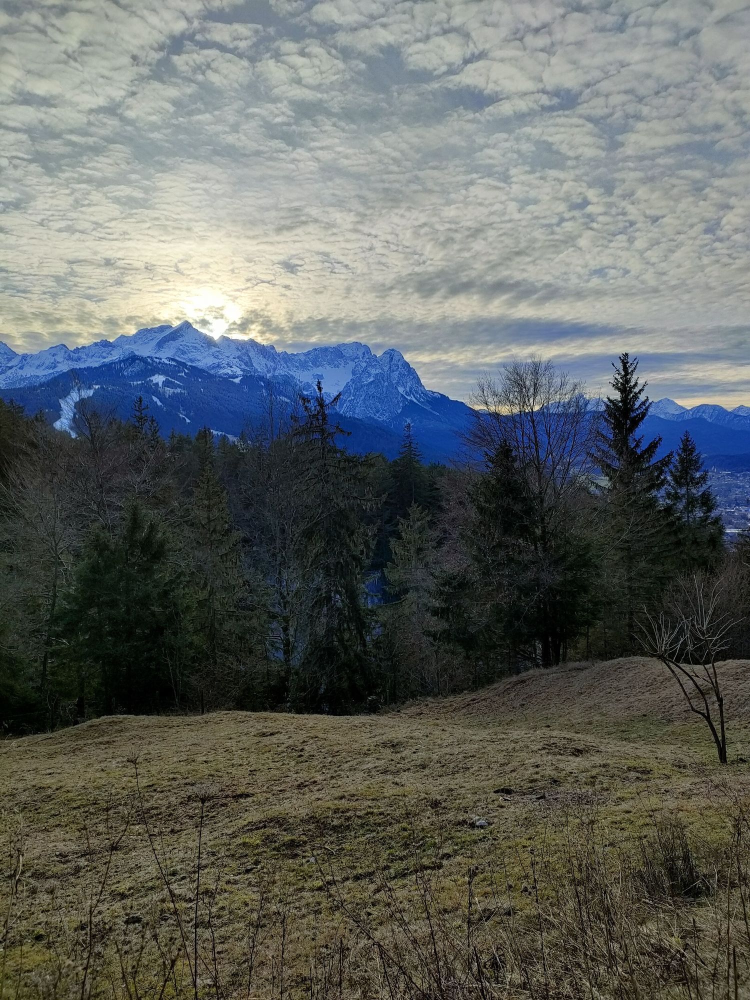
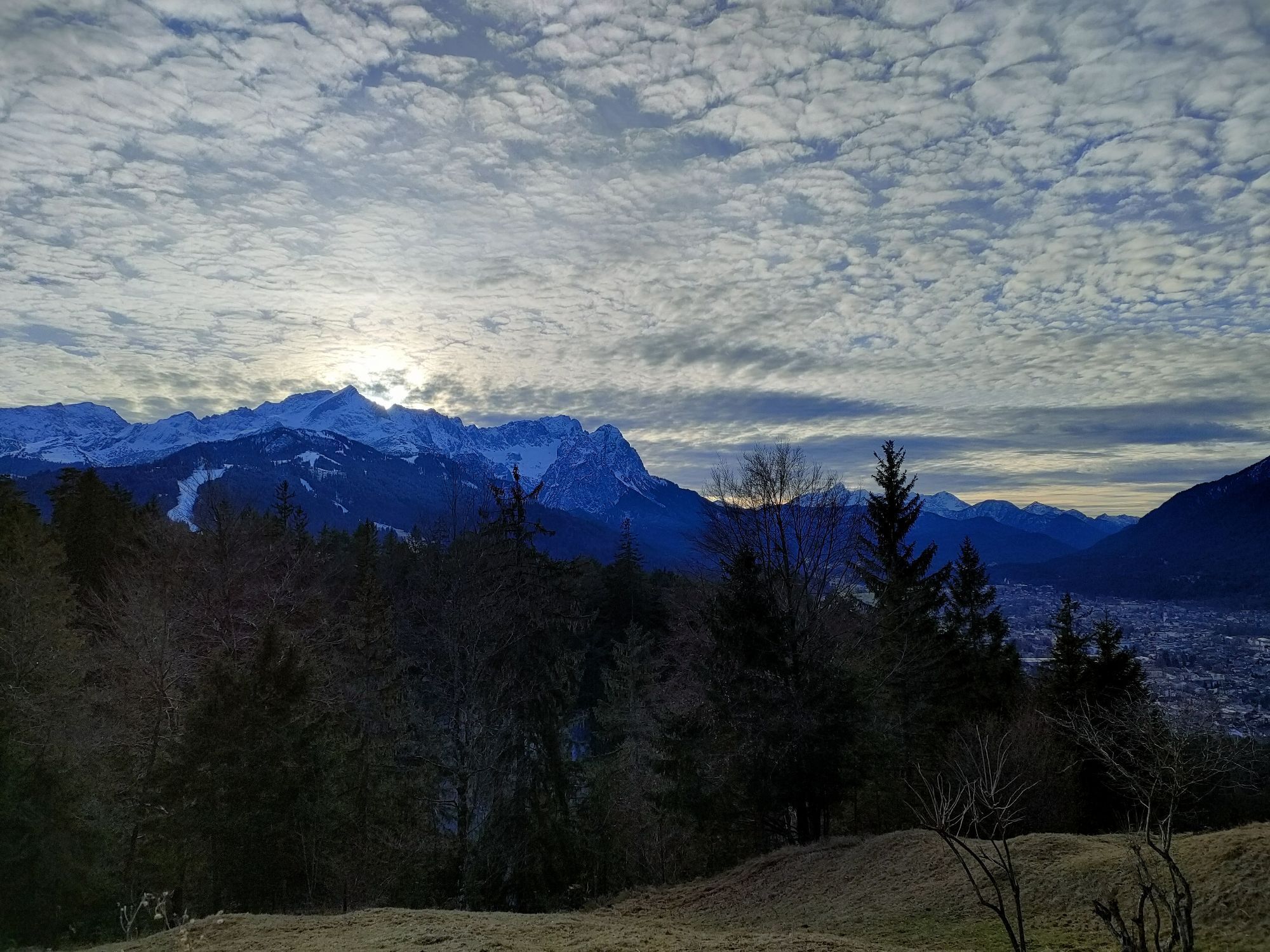
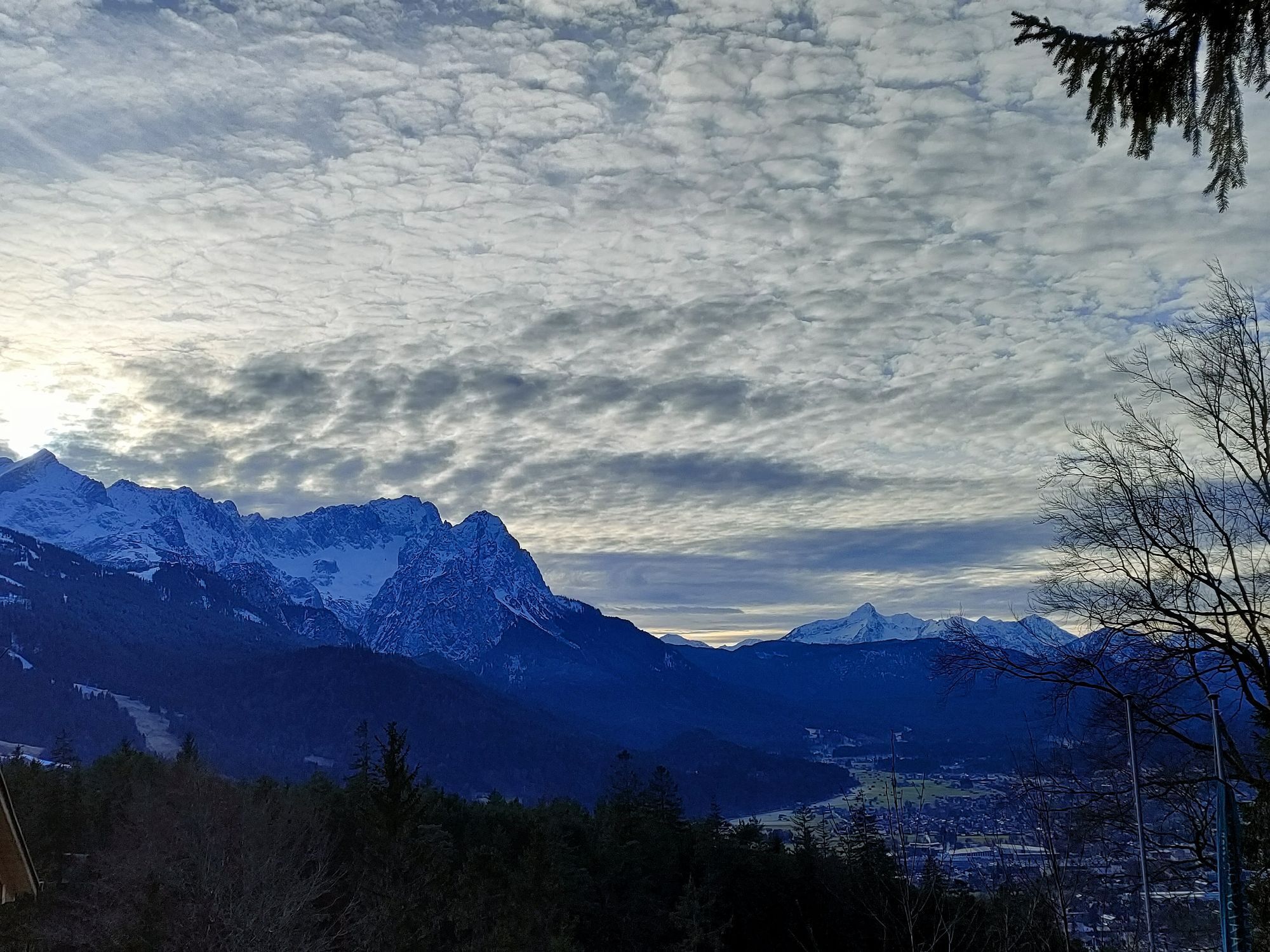
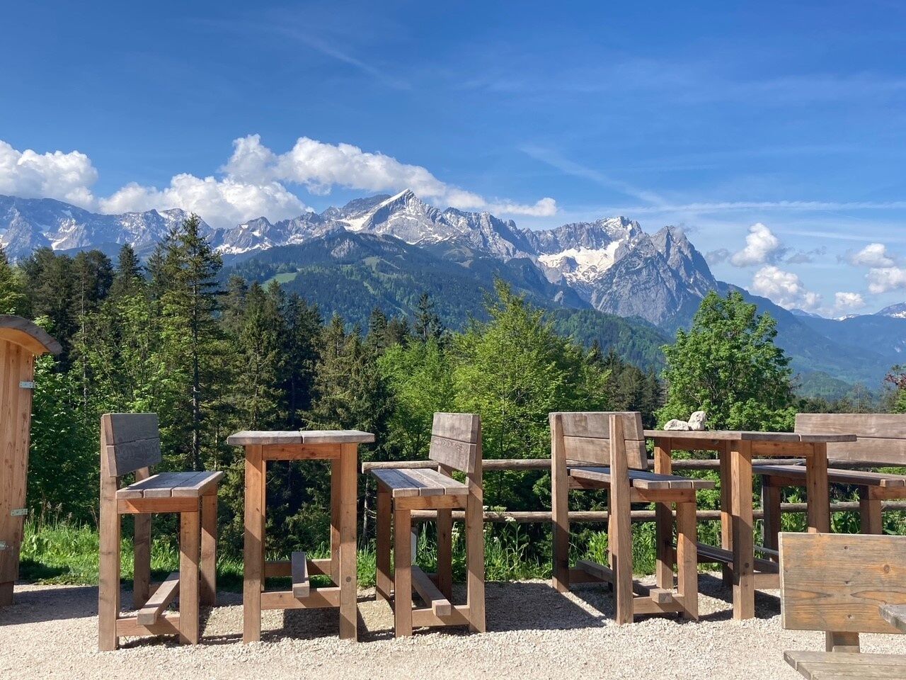
You will walk via St. Anton all the way up to Tannenhütte, while enjoying beautiful views of the valley surrounded by the Wetterstein and Zugspitz mountain ranges, the Austrian mountains and the Kramer...
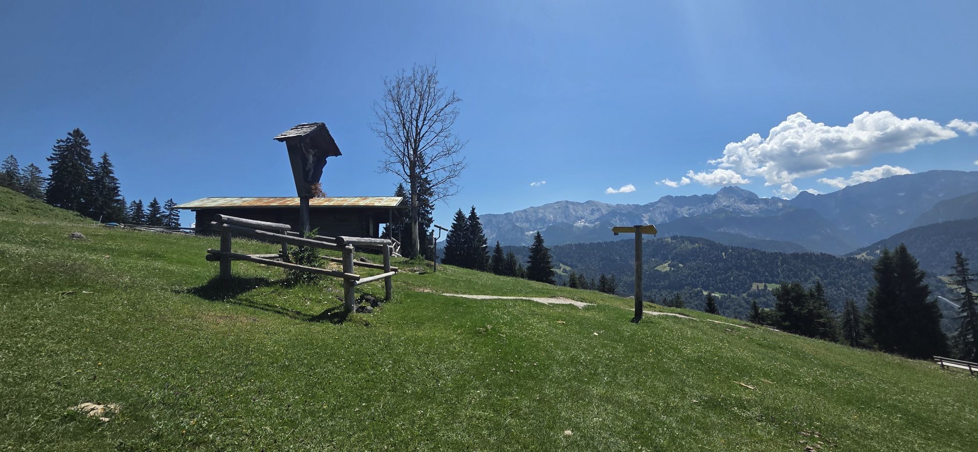
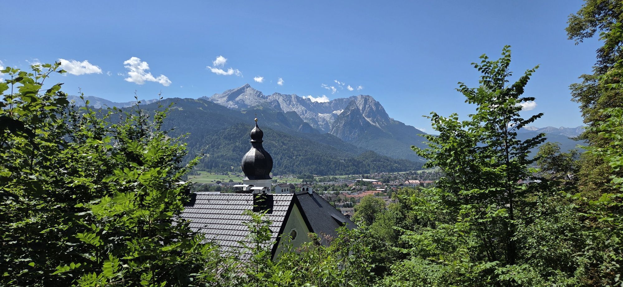
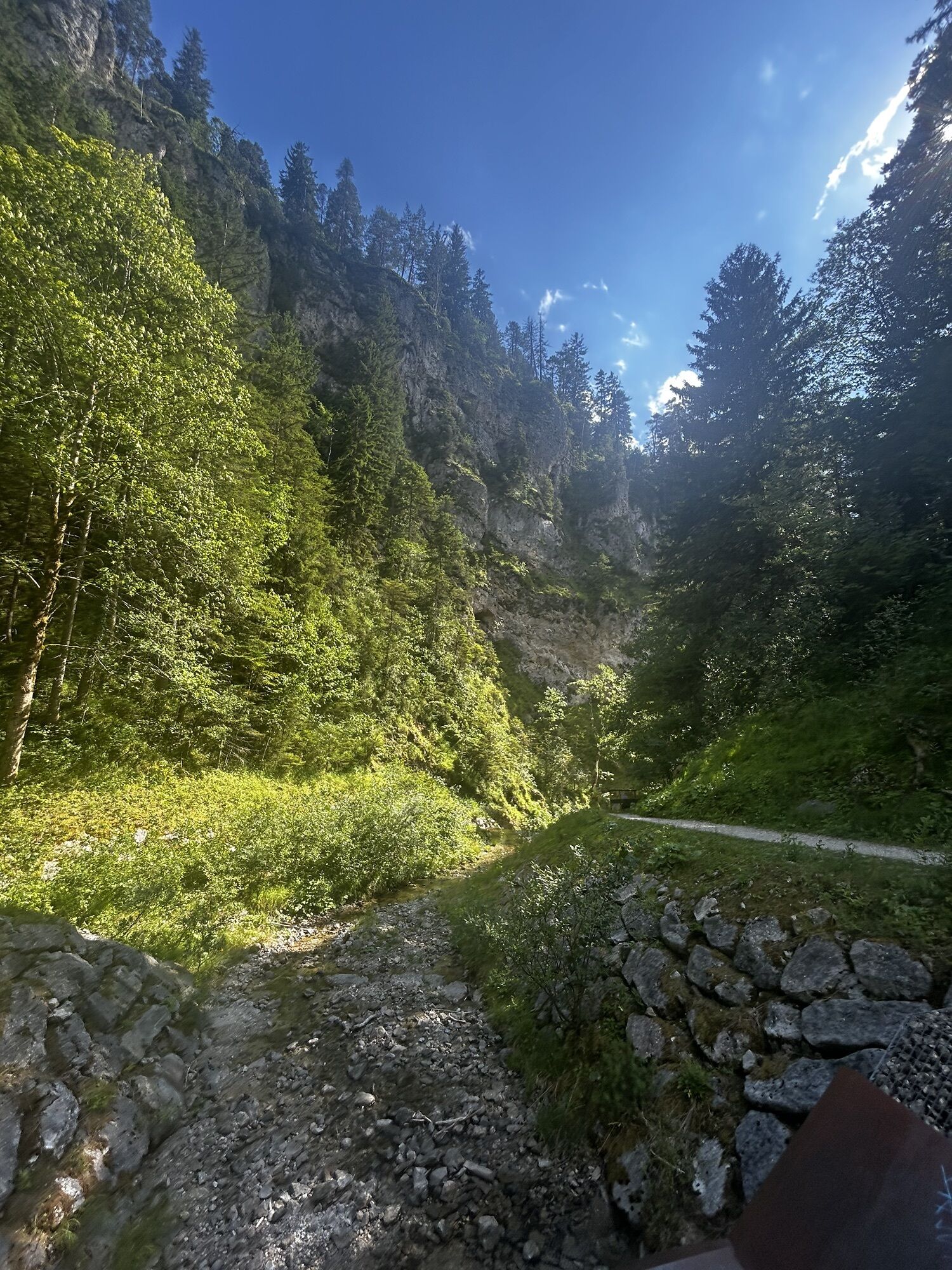
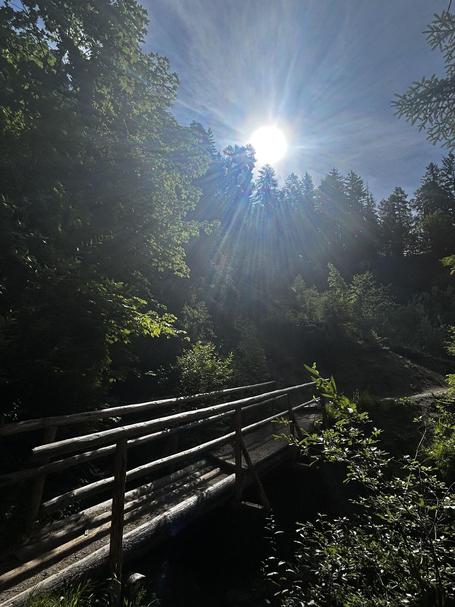
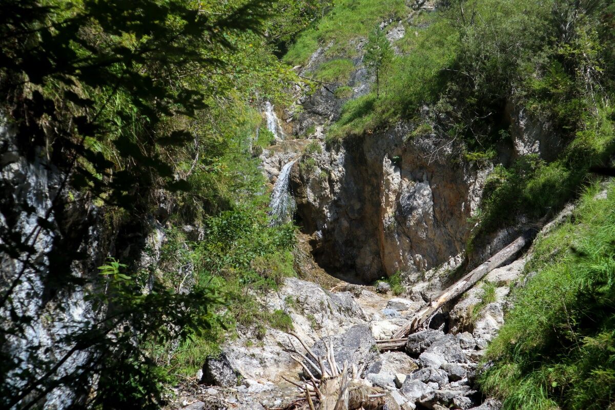
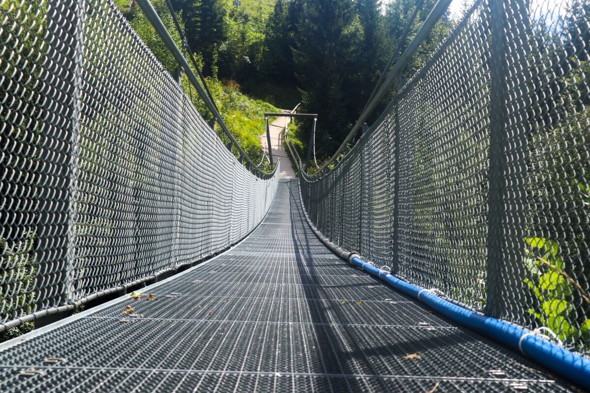
You will walk via St. Anton all the way up to Tannenhütte, while enjoying beautiful views of the valley surrounded by the Wetterstein and Zugspitz mountain ranges, the Austrian mountains and the Kramer mountain to the West. The pilgrimage church of St. Anton is famous for its ceiling fresco. A short stop to visit this church is definitely worth the while. Along the way you will come across several calvaries, among them the Cross of the Resurrection with a small altar next to it, and a bit further on, on a mountain meadow at Josefibichl, you will see an imposing cross with a golden corpus. The Faukenbach river runs down into the Kesselgraben waterfalls. When the snow is melting or during thunderstorms this river can become thunderous and wild. The big cleft of the Kesselgraben bears witness to the force of the water. Please take care to hold small children's hand when crossing the waterfall.
For a more detailed description of the tour, please refer to "PDF Print" above.
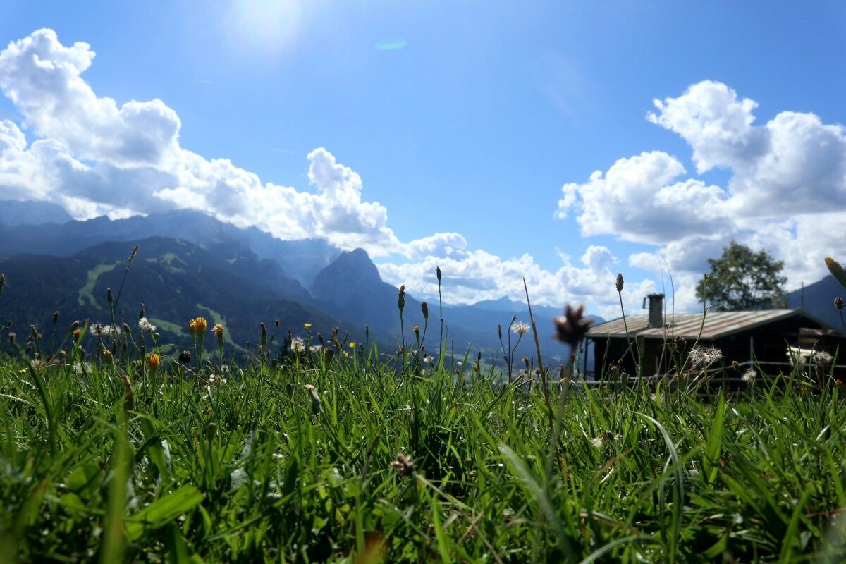
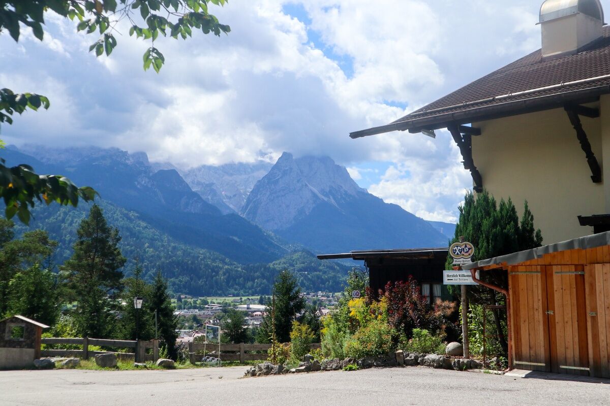
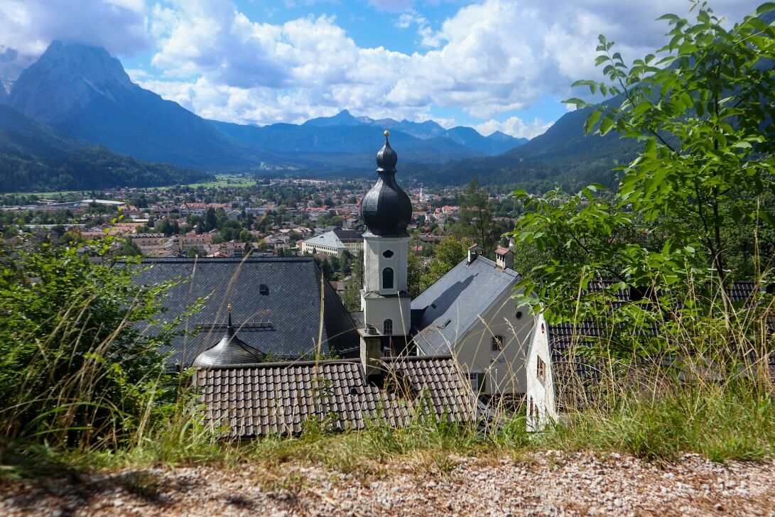
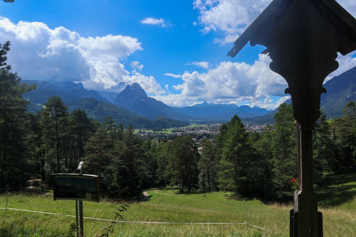
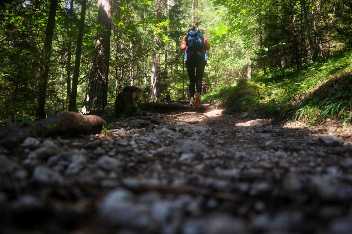
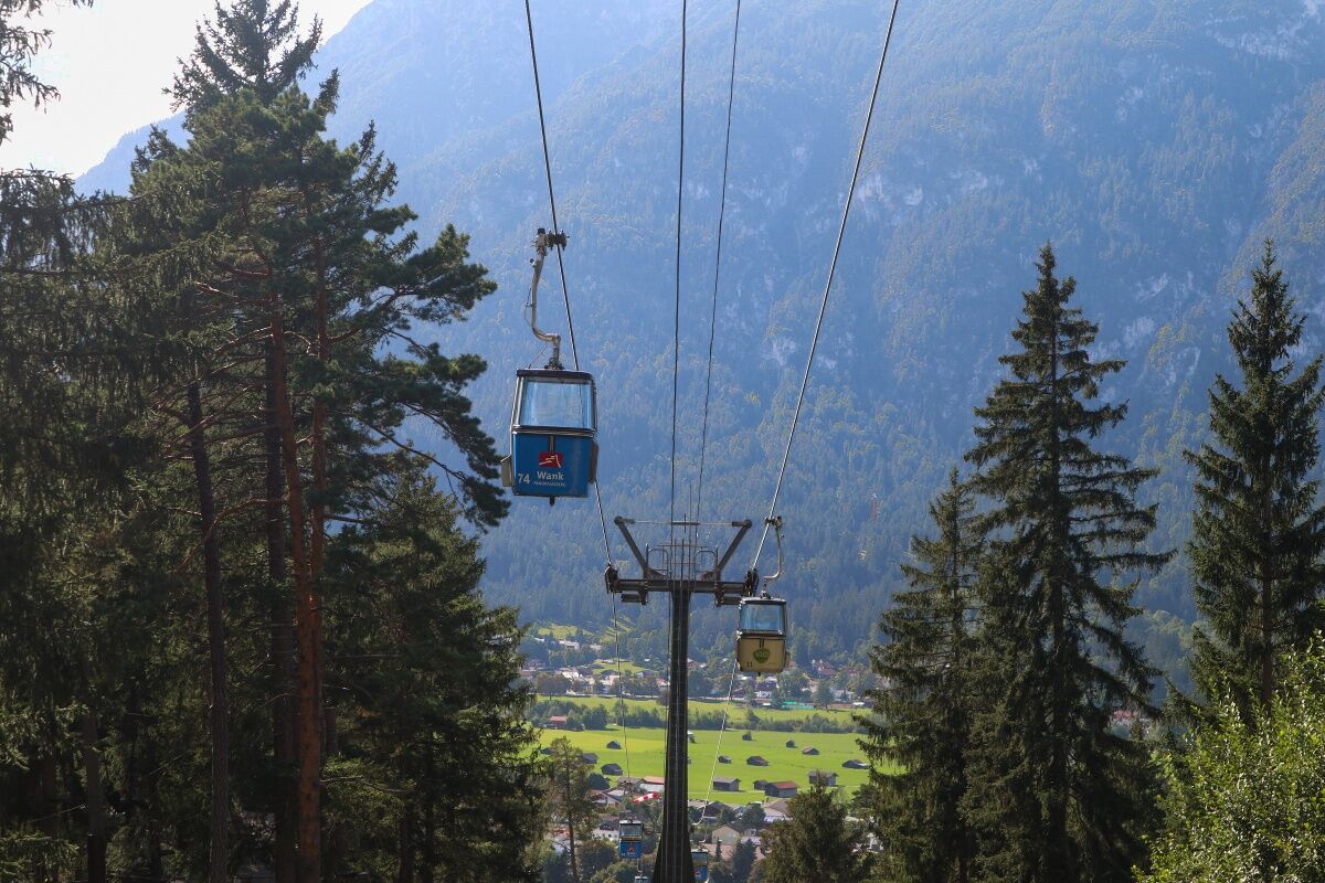

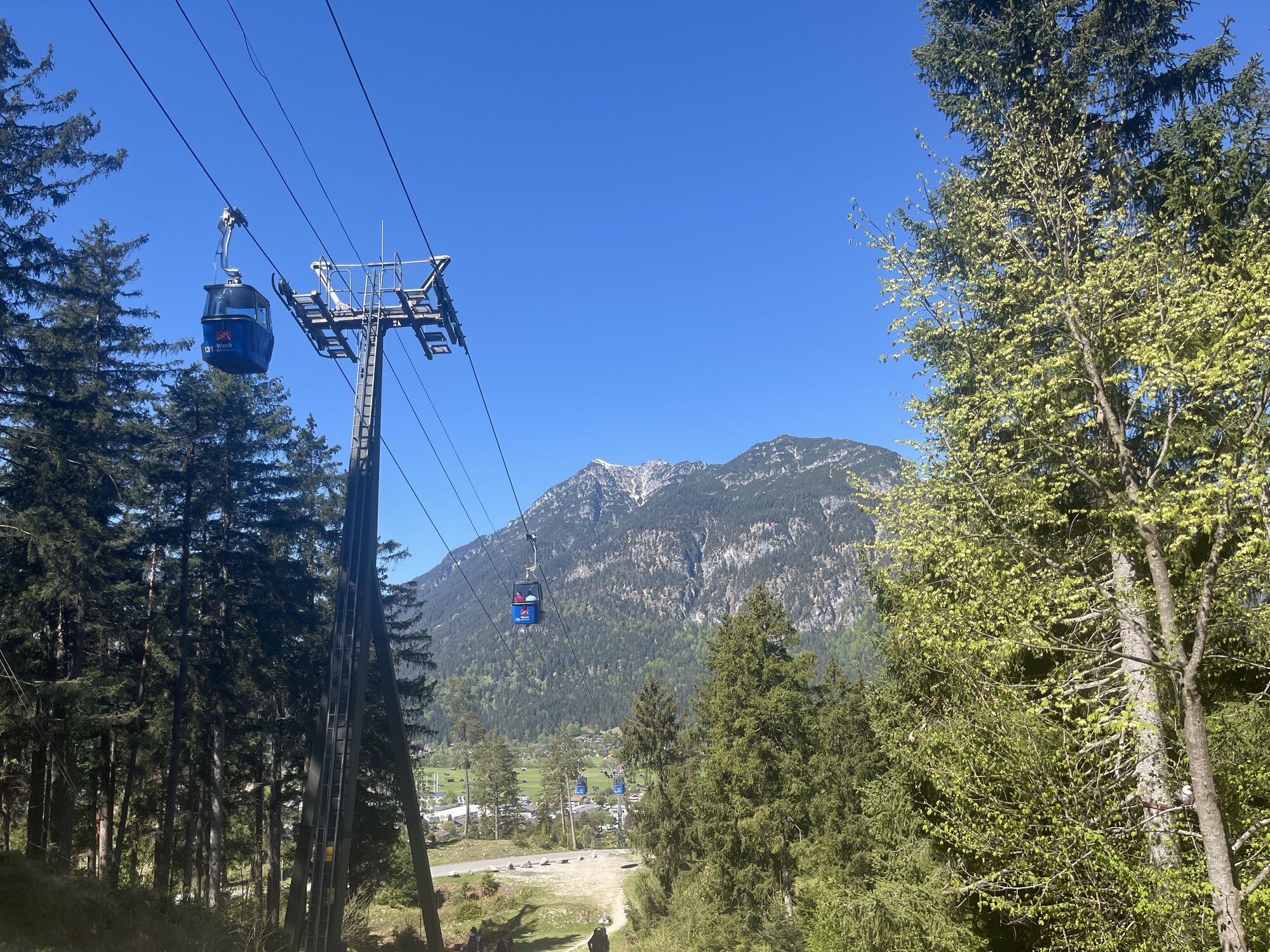
If you want to, you can return via Eckenhütte. The path leading further up the hill in front of Gamshütte will take you to Eckenhütte, which is not open to the public, within about 10 minutes. The path back to the valley to the left of the hut takes you through the pastures down to the base terminal of the cable car Wankbahn. Please follow the signs.
GaPa Wanderführer mit KOMPASS Wanderkarte (1:35.000)
Weitere Infos unter +49 8821 180 700
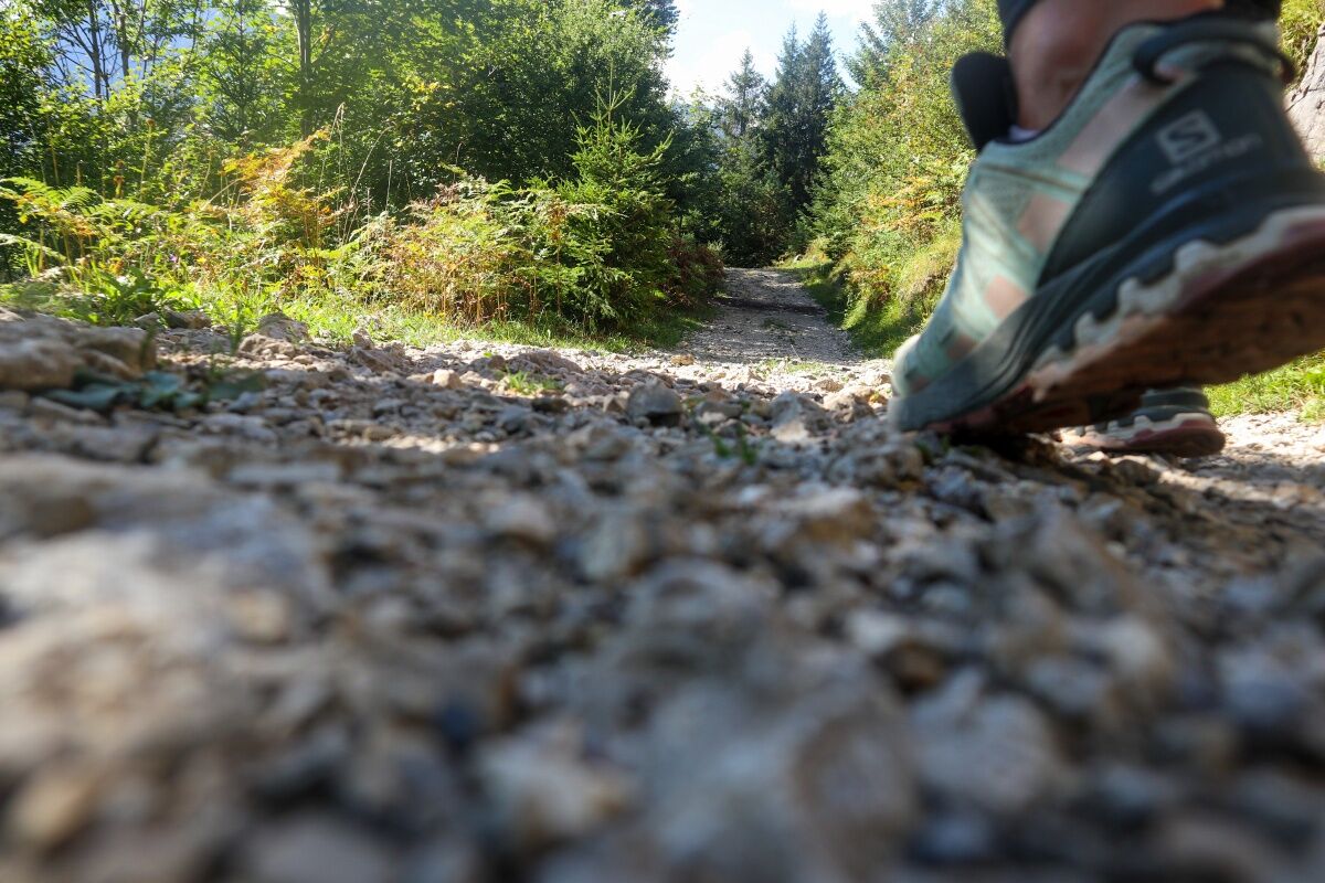
Sturdy footwear
Weather forecast for the local mountains of the Bayerische Zugspitzbahn Bergbahnen cable car company: Phone +49 8821 797 979
Please take small children by their hand when crossing the Kesselgraben waterfall.
From Mittenwald take the state road B2 to Garmisch-Partenkirchen, follow the main road and just before leaving the town, follow the signs for the cable car Wankbahn.
Via state road B23 to Garmisch-Partenkirchen: turn right into Gernackerstrasse at the second traffic lights, then follow the course of the road (St.-Martin-Strasse, Bahnhofstrasse). Take a left at the intersection in front of the town hall and then continue on the main street, Hauptstrasse, just before leaving the town, follow the signs for the cable car Wankbahn.
Take a train to Garmisch-Partenkirchen (trains every hour), local busses leave from the station forecourt. Take bus routes 3 and 4 to the cable car Wankbahn .
Parking lot at the base terminal of the Wankbahn cable car (P10)
This beautiful walk is not dangerous and well suited for children, as long as they are fit enough. The path with the Stations of the Cross leading up to St. Anton is one of the most beautiful of its kind in Bavaria.
Hol dir den Einblick Immer live vor Ort mit über 9.500 Webcams. In der Touren App von bergfex siehst du als Pro-User jetzt zu vielen Touren die passenden Webcams. So kannst du dir direkt die aktuellen Bedingungen ansehen.Beliebte Touren in der Nähe
- 4,4
Kuhfluchtwasserfälle
mittelWanderung 1,32 km - 4,2
Höllentalklamm
mittelWanderung 5,53 km - 4,7
Bergtour - Laber über Soilasee
leichtWanderung 11,8 km - 4,5
Bergtour - Teufelstättkopf
mittelWanderung 10,8 km - 5,0
Zugspitze via Höllental
schwerKlettersteig 16,1 km - 4,8
Schafkopf
leichtWanderung 10,2 km - 4,8
Zugspitze
schwerWanderung 8,45 km - 4,8
Höllentaler Rundtour
mittelWanderung 12,4 km - 4,8
Partnachklamm - Hintergraseck - Eckbauer
leichtWanderung 13,8 km - 4,8
Zugspitze via Reintal
schwerBergwandern 21,6 km
Wandern & Tracking


Verpasse keine Angebote und Inspirationen für deinen nächsten Urlaub
Deine E-Mail-Adresse wurde in den Verteiler eingetragen.





