Navigieren
Hol diese Tour auf dein Handy
Karte
Views - vistas
mittel
Wanderung
39,51 km
QR-Code scannen und Navigation in der bergfex App beginnen
QR Code
Wandern & Tracking
Wandern & Tracking

Views - vistas

Distanz
39,51 km
Dauer
11:00 h
Aufstieg
998 hm
Seehöhe
251 - 508 m
Track-Download
Karte
Views - vistas
mittel
Wanderung
39,51 km

The most beautiful artists’ trail all around Neunkirchen proves how wonderfully art and nature can harmonise with each other. 18 paintings and sculptures by local artists have been installed on this fascinating...

Beschreibung

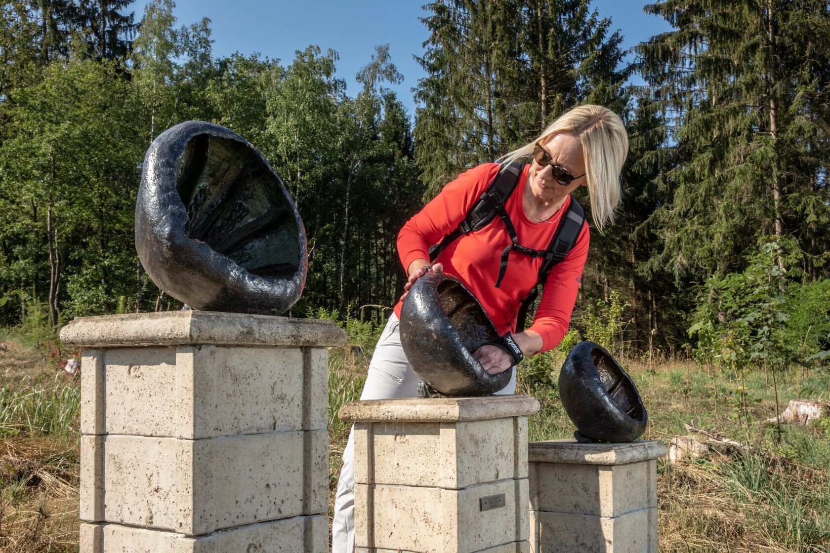
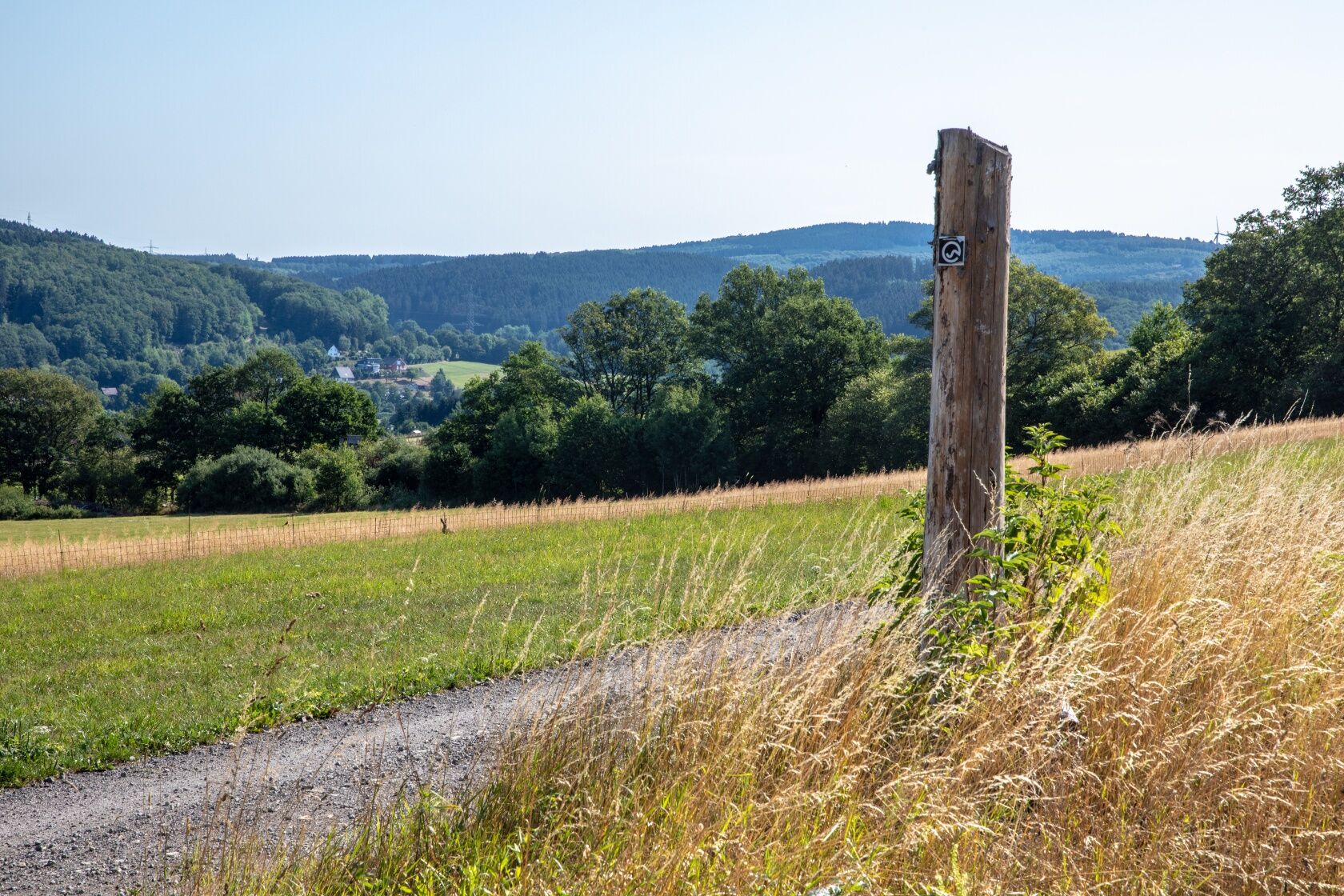
The most beautiful artists’ trail all around Neunkirchen proves how wonderfully art and nature can harmonise with each other. 18 paintings and sculptures by local artists have been installed on this fascinating circular route.
Wegverlauf
Struthütten
(267 m)
Dorf
0,7 km
Pfannenberg
(499 m)
Gipfel
10,2 km
Schränke
(499 m)
Flur/Gelände
12,0 km
Waldhaus Schränke
(395 m)
Restaurant
12,2 km
Wiederstein
(302 m)
Dorf
26,6 km
Hohenseelbachskopf (Köppel)
(497 m)
Restaurant
33,4 km
Struthütten
(267 m)
Dorf
38,8 km
Wegverlauf
Karte
Views - vistas
mittel
Wanderung
39,51 km
Struthütten
(267 m)
Dorf
0,7 km
Zum Steimel
(441 m)
Restaurant
8,1 km
Pfannenberg
(499 m)
Gipfel
10,2 km
Pfannenbergturm
(508 m)
Aussichtspunkt
10,2 km
Schränke
(499 m)
Flur/Gelände
12,0 km
Waldhaus Schränke
(395 m)
Restaurant
12,2 km
Wiederstein
(302 m)
Dorf
26,6 km
Hohenseelbachskopf (Köppel)
(497 m)
Restaurant
33,4 km
Struthütten
(267 m)
Dorf
38,8 km
Toureninfo

A beautiful, highly varied hike that is best completed over two days due to its length.

Technik
k.A.
Kondition
2 / 6
Landschaft
5 / 6
Erlebnis
k.A.
Beste Jahreszeit
Jan
Feb
Mär
Apr
Mai
Jun
Jul
Aug
Sep
Okt
Nov
Dez
Autor
Bereitgestellt von Natalie Glatter
Tour teilen
Karte
Views - vistas
mittel
Wanderung
39,51 km
Fehler
Ein Fehler ist aufgetreten. Bitte versuche es erneut.
Weginformationen
Wegverlauf
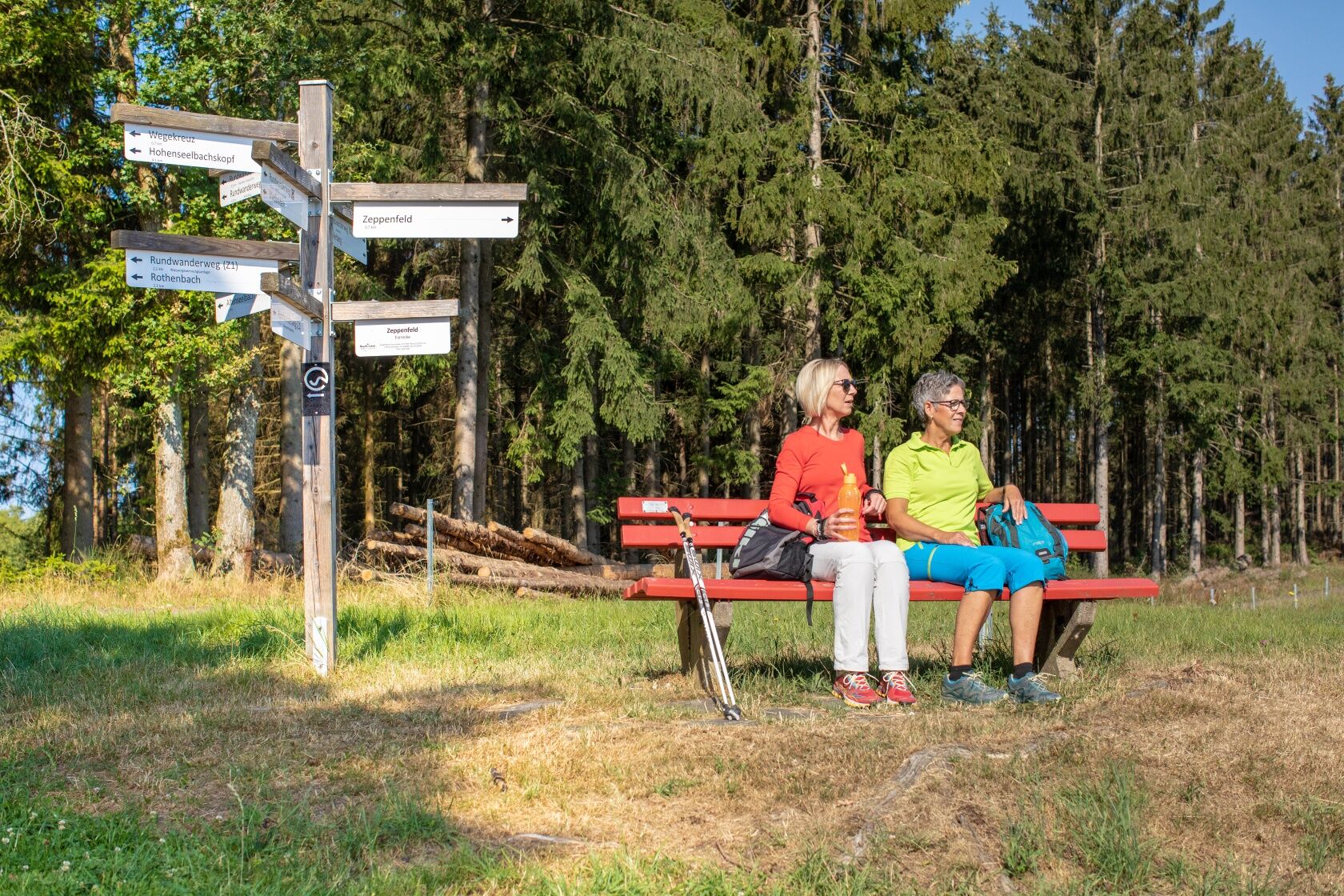
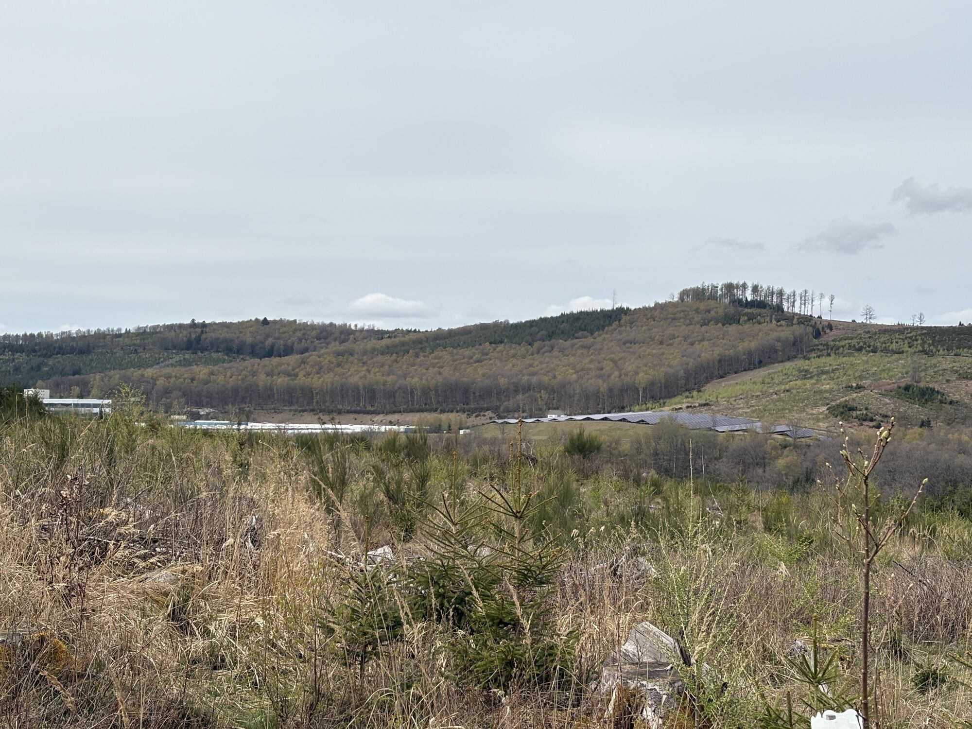
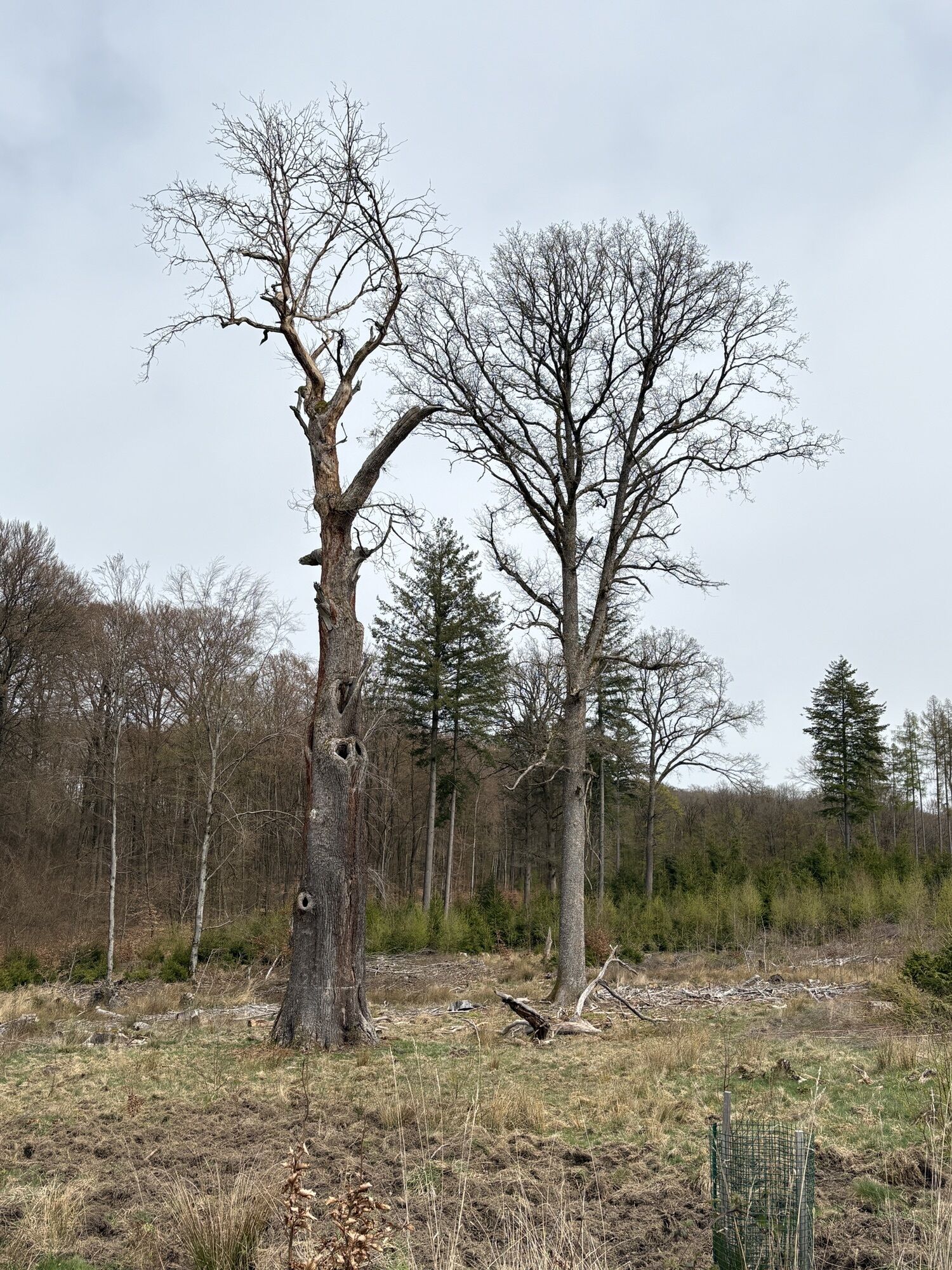
The tour starts at one of the three “Wanderportale” (hikers’ portals) which serve as the entry point to this tour, which is around 40 km long. One of these portals is located in the former “Steimel” mining area (405 m). From here, the path takes you to the Pfannenbergkopf hill (499 m) with a historic viewing tower built in 1934, which offers a beautiful panoramic view from the viewing platform about 20 m above. After fortifying yourself at the picnic area, you continue past the “Königseiche” oak tree towards the swimming pool. The path crosses the “Bähnchensweg” route, which is popular among cyclists and joggers. The village of Wiederstein is reached via the “Junger Löwe” tip. The educational forest trail provides information about numerous species of tree, while an attractive rest stop is a good place to stop and enjoy the lovely view of the village. The neighbouring Luisenpfad path takes you back downhill past the Wiederstein monument. The Hohenseelbachskopf hill (504 m) is a reminder of the area’s mining history. Continue along the well-signposted path towards the Malscheid nature reserve. You will soon be rewarded with a wonderful view onto the Silbersee lake. After enjoying these sights, go back downhill for the last stretch of the tour; shortly afterwards, you pass through the Kunstertal area and return the starting point in Steimel.
Kartenmaterial

Radwander- und Freizeitkarte Siegerland-Wittgenstein, mit Begleitheft, 1:50.000

Ausrüstung

Normal hiking apparel, a water bottle and food and drink for the day are recommended.

Anreiseinformationen
Anreise

A45 AS Wilnsdorf, L722 to Neunkirchen

Öffentliche Verkehrsmittel
By train:

The Hellertalbahn is connected to the DB train stations in Betzdorf, Haiger and Dillenburg.

RB 96

The stop at Struthütten train station is directly on the way, from Neunkirchen train station it is about 30 minutes on foot to the starting point from the family pool

By bus:

R22 und R23 to Siegen
Parken

Parking at the family pool

Zusatzinfos & Tipps
Tipps

It’s well worth taking the detour to the Malscheid nature reserve.

Noch keine Bewertungen
Bewertung schreiben

Bewertungen helfen anderen Usern bei der Auswahl ihres nächsten Abenteuers. Bewerte bitte nur die Tour, nicht das Wetter oder deine Jause.

Wähle einen der Sterne um die Tour zu bewerten
Schlechte Tour
Schwache Tour
Mittelmäßige Tour
Gute Tour
Ausgezeichnete Tour

Webcams der Tour

bergfex logo Hol dir den Einblick Immer live vor Ort mit über 9.500 Webcams. In der Touren App von bergfex siehst du als Pro-User jetzt zu vielen Touren die passenden Webcams. So kannst du dir direkt die aktuellen Bedingungen ansehen.
Wandern & Tracking

Wandern & Tracking

Wandern & Tracking
Über 550.000 Tourenvorschläge, detailliertes Kartenmaterial und ein intuitiver Routenplaner machen die App zum Must-have für alle Naturbegeisterten.
bergfex