Mit App navigieren
Hol diese Tour auf dein Handy
Karte
Via Adrina - The Eder hiking route with wonderful views

schwer
Wanderung
20,78 km
QR-Code scannen und Navigation in der bergfex App beginnen
QR Code
Wandern & Tracking
Wandern & Tracking

Via Adrina - The Eder hiking route with wonderful views

Distanz
20,8 km
Dauer
07:00 h
Aufstieg
627 hm
Seehöhe
365 - 556 m
Track-Download
Karte
Via Adrina - The Eder hiking route with wonderful views
schwer
Wanderung
20,78 km

The 20 kilometre long premium hiking route runs through the varied landscape along the Eder river around Arfeld and Schwarzenau. On the approximately six hour tour, you can explore the eight bends of the...

Beschreibung

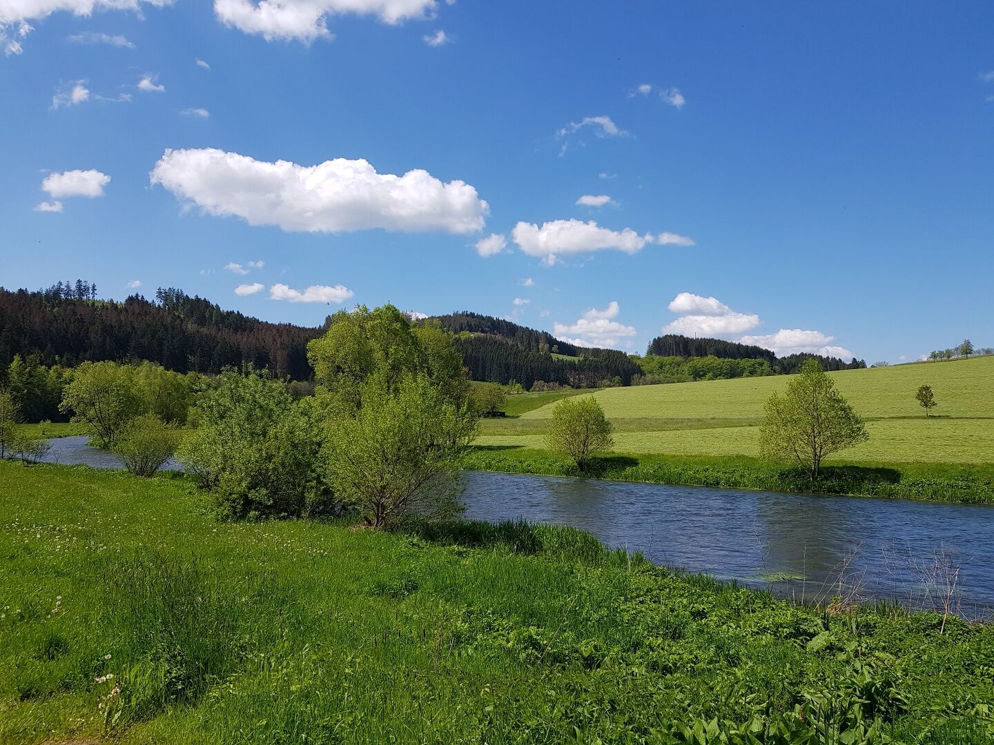
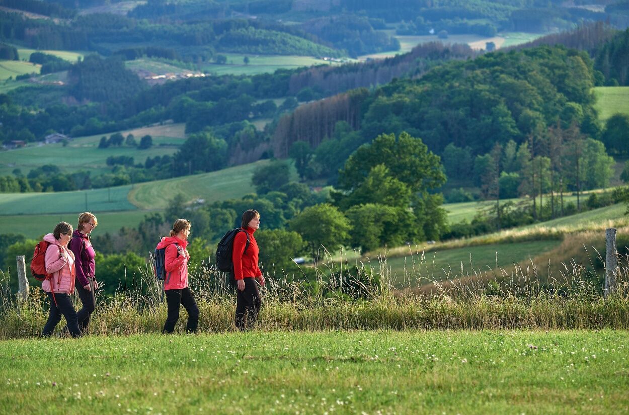
The 20 kilometre long premium hiking route runs through the varied landscape along the Eder river around Arfeld and Schwarzenau. On the approximately six hour tour, you can explore the eight bends of the Eder river at a sprightly pace.

The trail goes up and down through the hilly landscape. You will be rewarded along the way with wonderful panoramic views on the heights and adventurous, winding nature trails in the valleys.

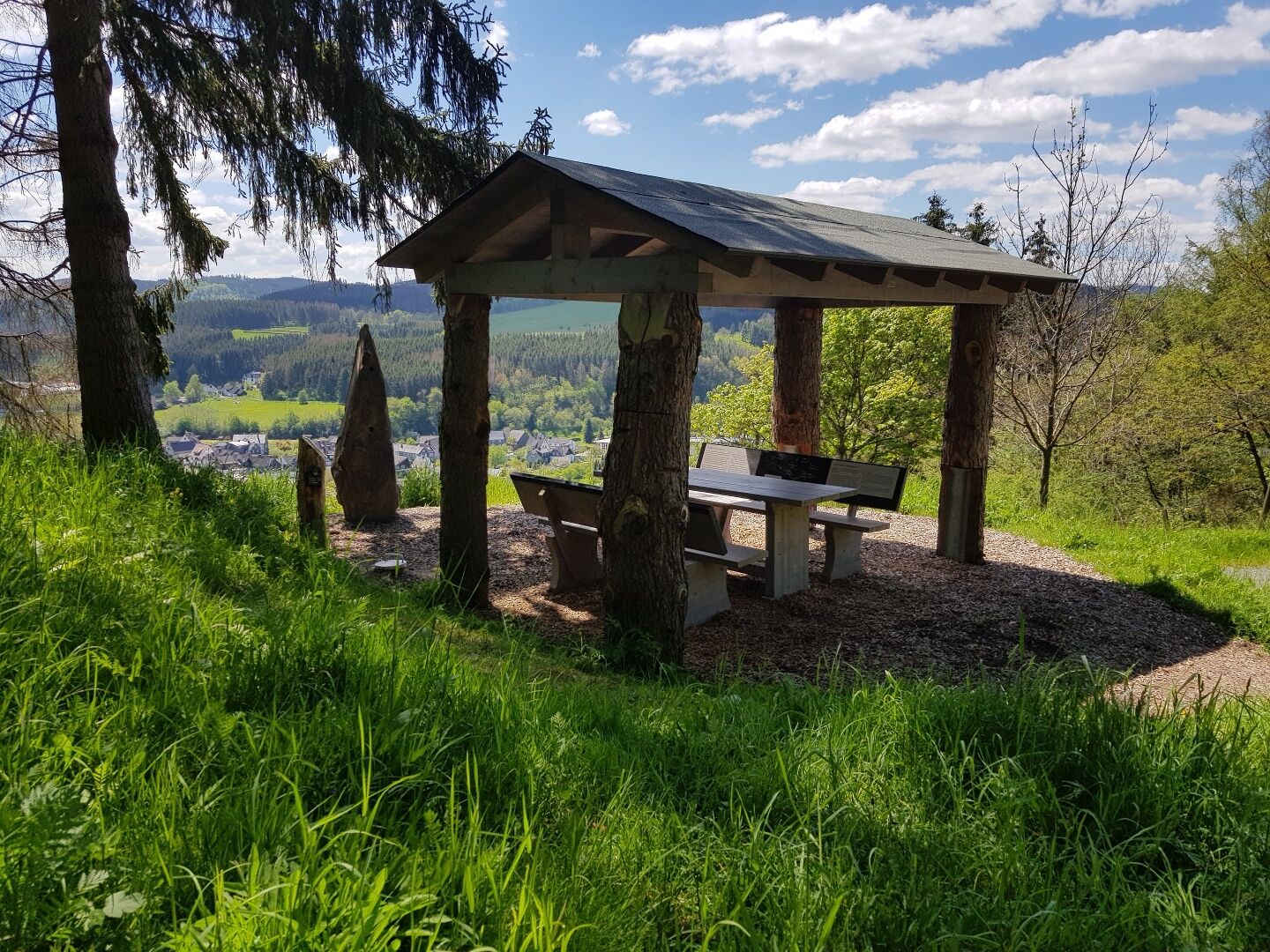
The viewing platforms set special accents; these provide good sightlines over the section of the trail that is already behind you and the section to come.

The signs showing stylised waves run in both directions along the Via Adrina, which incidentally was awarded the title of third most beautiful hiking trail in Germany in 2009. By taking a well marked shortcut, it is also possible to divide the circular tour into two stages of twelve kilometres each.

Enjoy the tranquillity along the rambling route and breathe in deeply.
Wegverlauf
Zum Bahnhof
(394 m)
Restaurant
0,0 km
Arfeld
(437 m)
Stadtteil
0,1 km
Evangelische Kirche Schwarzenau
(388 m)
Andachtsstätte
11,5 km
Hüttental
(509 m)
Siedlung
13,2 km
Köpperich
(426 m)
Aussichtspunkt
17,4 km
Arfelder Kirche
(392 m)
Andachtsstätte
17,5 km
Arfeld
(437 m)
Stadtteil
18,0 km
Wegverlauf
Karte
Via Adrina - The Eder hiking route with wonderful views
schwer
Wanderung
20,78 km
Zum Bahnhof
(394 m)
Restaurant
0,0 km
Arfeld
(437 m)
Stadtteil
0,1 km
Gasthof-Pension Kassel
(365 m)
Restaurant
10,9 km
Evangelische Kirche Schwarzenau
(388 m)
Andachtsstätte
11,5 km
Schwarzenau
(414 m)
Stadtteil
11,8 km
Hüttental
(509 m)
Siedlung
13,2 km
Köpperich
(426 m)
Aussichtspunkt
17,4 km
Arfelder Kirche
(392 m)
Andachtsstätte
17,5 km
Arfeld
(437 m)
Stadtteil
18,0 km
Zum Bahnhof
(394 m)
Restaurant
20,7 km
Toureninfo

A hike with expansive views - beautiful landscapes and the rushing Eder river turn this hiking route into a fairy tale spectacle.

Technik
k.A.
Kondition
5 / 6
Landschaft
5 / 6
Erlebnis
k.A.
Beste Jahreszeit
Jan
Feb
Mär
Apr
Mai
Jun
Jul
Aug
Sep
Okt
Nov
Dez
Autor
Bereitgestellt von BLB-Tourismus GmbH
Tour teilen
Karte
Via Adrina - The Eder hiking route with wonderful views
schwer
Wanderung
20,78 km
Fehler
Ein Fehler ist aufgetreten. Bitte versuche es erneut.
Weginformationen
Wegverlauf
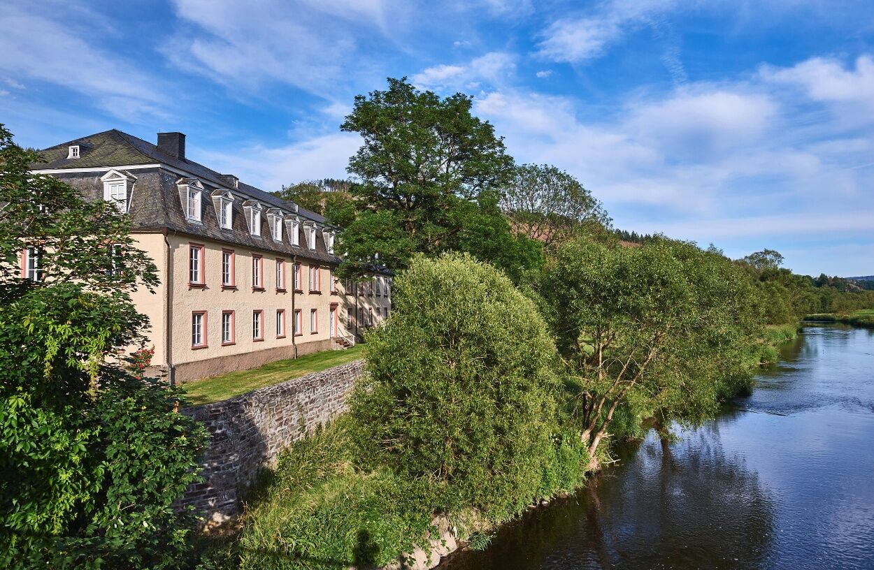
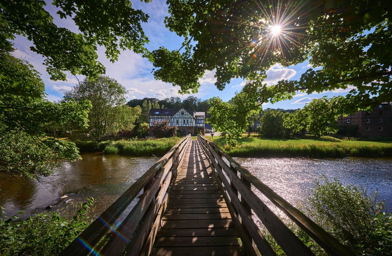
Start the hike at the car park next to the bridge over the river Eder. Cross the bridge before making a steep ascent. After one kilometre, a viewing platform offers a view over the entire hiking area. The “Café Hainbach” is a good place to stop for a rest along the way. When you walk around the basin of the Mühlbachtal valley, you may meet a herd of rare red Wittgenstein highland cattle. After a long descent with views, including onto the Arfeld bend of the river Eder, cross the L 903 road. Continue walking along the edge of a steep bank of the Eder and through untouched deciduous forest. After a long descent with more views, you reach the former railway track, and follow the path that runs parallel to it. You reach the “Schwarzenauer Mühle” restaurant, with a self-service garden café. In 1708, Alexander Mack baptised himself and other fellow believers in the river Eder very close to the Schwarzenauer Schloss palace, and with this symbolic act founded a pietistic religion. A long, steep ascent follows to the town of Hüttental. A second platform offers interesting views. You then reach Arfeld with the important decanal church, which is now also a cyclists’ and hikers’ church. Next to the church is the “Alte Schmiede” (“Old Forge”) museum. An ascent takes you to the “Wittgensteiner Schieferpfad” (“Wittgenstein slate path”) premium trail. Walk along the river Eder back to the starting point.
Kartenmaterial

Hiking map WaldReich Wittgenstein, 1: 25,000, Zweckverband Region Wittgenstein, 2nd edition 2008, ISBN 3-00-010140-3, 9,50 €

Ausrüstung

The circular tour demands a certain level of fitness and surefootedness in places; sturdy shoes are recommended.

Anreiseinformationen
Anreise

From Bad Berleburg to Dotzlar via the L553 or L718. From there, you go to Arfeld over the Eder bridge. Turn off to the left. The car park is on the left.

Öffentliche Verkehrsmittel
Information from ZWS (Zweckverband Personennahverkehr Westfalen-Süd) Tel. 01803/50 40 30

Regional Bus R33 Timetable

Parken
Free parking is available.


Zusatzinfos & Tipps
Tipps
The Via Adrina comes third on the hit list of the best premium trails in NRW, with 71 points.

Schwarzenau: Alexander-Mack-Museum.

Arfeld: Schmiedemuseum (forge museum).

Wandern & Tracking

Wandern & Tracking

Wandern & Tracking
Über 550.000 Tourenvorschläge, detailliertes Kartenmaterial und ein intuitiver Routenplaner machen die App zum Must-have für alle Naturbegeisterten.
bergfex