







Discovery Loop Alt-Erkrath Monument Route
Protected by the River Düssel, three moated castles were built during the Middle Ages. To the west, Haus Morp; to the east, at the edge of the Neandertal valley, Haus Brück, and in the centre, the early...
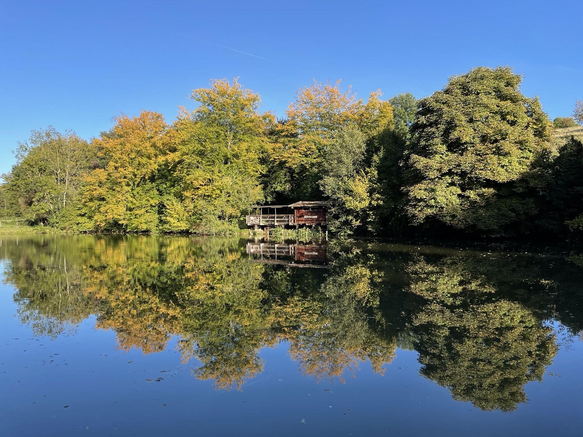
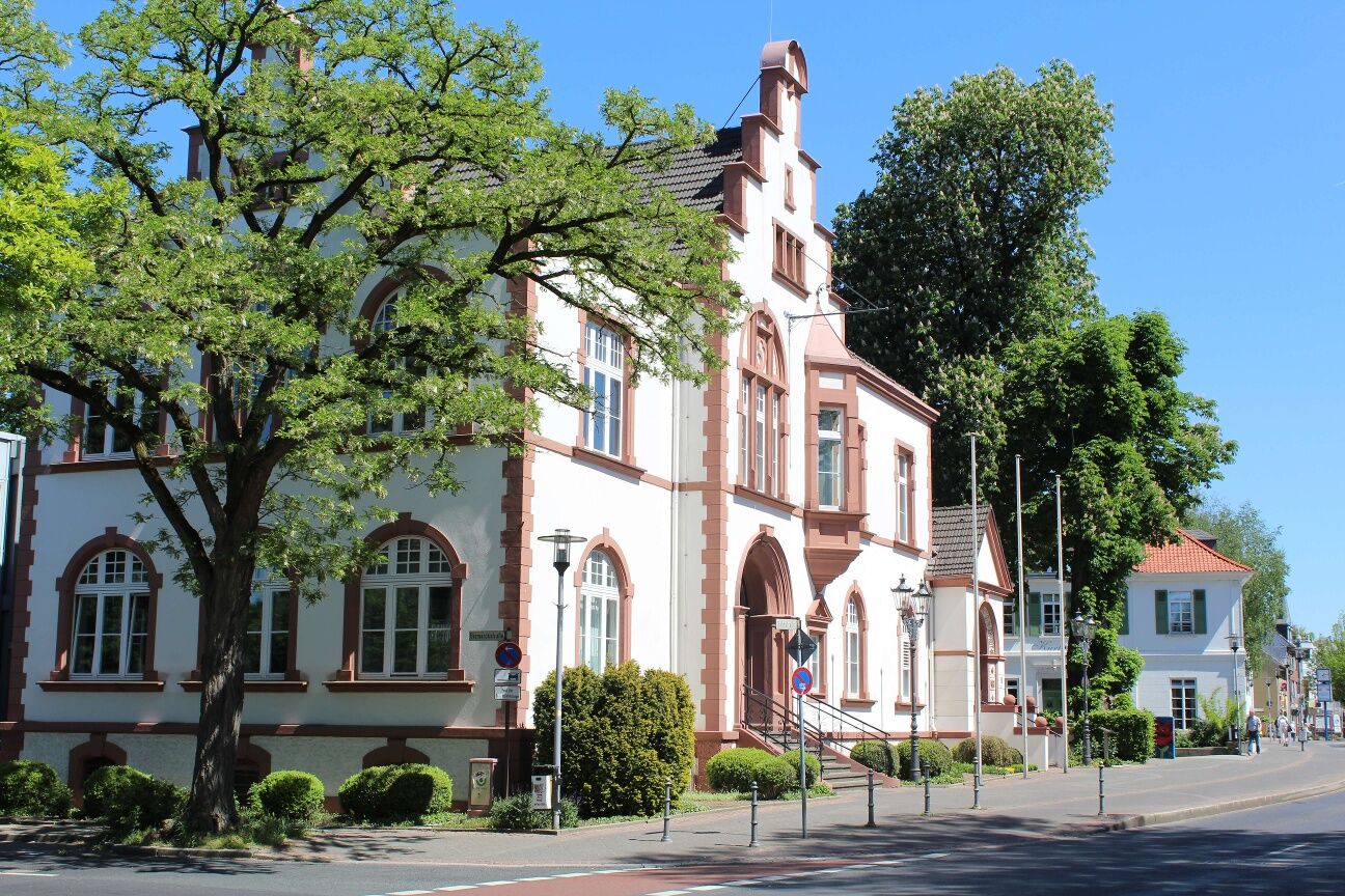
Protected by the River Düssel, three moated castles were built during the Middle Ages. To the west, Haus Morp; to the east, at the edge of the Neandertal valley, Haus Brück, and in the centre, the early settlement close to the first church, Haus Bavier. The oldest known centre of the town of Erkrath flourished here between the first Roman church and these castles, which have since been lost to time. The development of the settlement can be seen clearly in the historic streets – Bahnstraße, Kirchstraße and Kreuzstraße – and public buildings such as churches, the town hall and the market hall. From Haus Brück you’ll quickly find yourself surrounded by the unspoilt countryside. The route is a true gem of a hiking trail taking in the Stindertal valley, Rotthäuser Bachtal valley and Düsseltal valley to Haus Morp.
Start and finish point: Erkrath railway station
Parking: At the train station
Public transport stop: Erkrath railway station, S8, O5, O6

Parkmöglichkeiten direkt am Startpunkt
Beliebte Touren in der Nähe
-
5,0
Neandertaler Runde
leichtWanderung 12,6 km -
3,0
Rotthäuser Höhe und Tal
leichtWanderung 9,41 km -
4,7
Stindertal (A2 Trail)
leichtWanderung 7,59 km -
5,0
Etappe 07: Schlösser & Ruhrtal-Panorama
mittelWanderung 8,53 km -
5,0
Etappe 06: Paradies mit Museumslandschaft
mittelWanderung 14,2 km -
4,5
A9 Angerthal
mittelWanderung 10,8 km -
5,0
Grafenberger Waldrunde
mittelWanderung 10,3 km -
5,0
D-Rotthäuser Bachtal (10)
leichtWinterwandern 8,66 km -
5,0
Etappe 02: Von der Düssel zur Pilgerstätte
mittelWanderung 11,4 km -
5,0
Etappe 08: Von der Landebahn in die Natur
leichtWanderung 18,7 km
Wandern & Tracking


Verpasse keine Angebote und Inspirationen für deinen nächsten Urlaub
Deine E-Mail-Adresse wurde in den Verteiler eingetragen.





