







13 Düsseldorf-Garath to Monheim am Rhein
Düsseldorf-Garath to Monheim
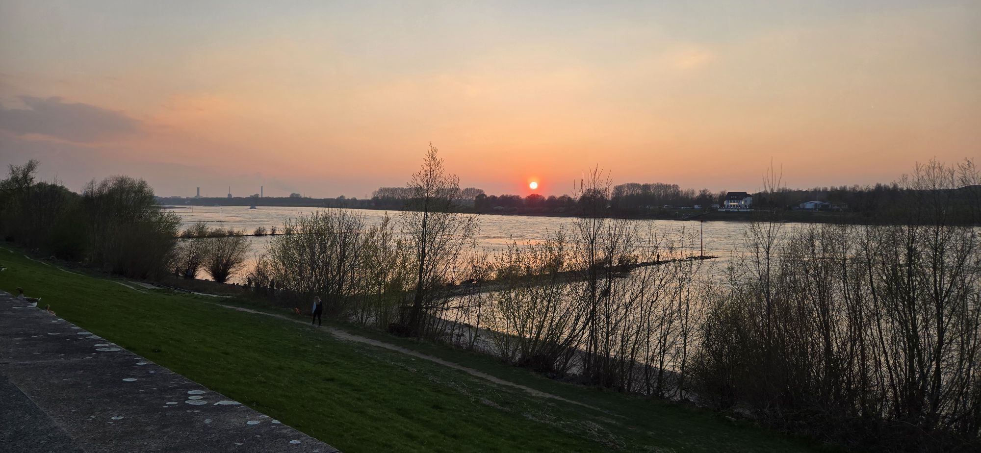
We begin in Garath and follow the meandering Garather Mühlenbach in the direction of the Rhine (Rhein).
We soon reach the Urdenbacher Kämpe, a first-class nature reserve (Naturschutzgebiet):...
Düsseldorf-Garath to Monheim
We begin in Garath and follow the meandering Garather Mühlenbach in the direction of the Rhine (Rhein).
We soon reach the Urdenbacher Kämpe, a first-class nature reserve (Naturschutzgebiet): An old branch of the Rhine (Rhein) with rich flora and fauna, natural orchards and Haus Bürgel – infopoint, museum and schnapps distillery, built on the walls of a 4th-century Roman fort.
Behind Haus Bürgel we arrive at the River Rhine (Rhein) and walk along the promenade through Monheim.
The attractive Piwipper Böötchen is a great opportunity for a short trip to the other side of the Rhine (Rhein).
Or perhaps you are more in the mood to sip a beer in Monheim’s old town. This is where we are at the 'border' between the typical Cologne Kölsch beer and the Westphalian Altbier.
The path continues along the curve of the Rhine (say hello to Cologne on the other side!) and the stage ends at Gut Blee.
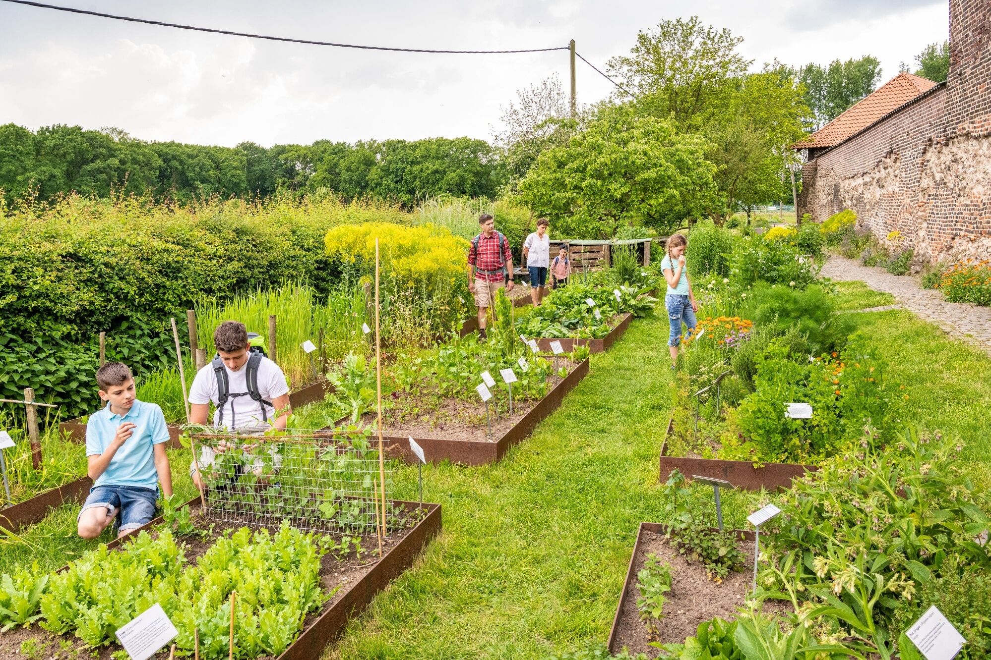

The path runs beside cool streams, through deep forests, and over windy hills; depending on the time of year and the weather, you may need to take a coat.
The narrow paths can be slippery in places, particularly in wet weather.
Be careful at the edges of steep faces, keep your distance.
Use the app’s journey planner
Start:
Düsseldorf-Garath S-Bahn: trains S 6, S 68 and buses 778 and 779
Düsseldorf-Hellerhof S-Bahn: trains S 6, S 68 and buses 789 and 795
Garather Kirchweg bus stop: 785
Finish:
Alfred-Nobel-Straße bus stop: 233, 790 and 793
Creativ Centrum bus stop: 219, 790, 793 and SB 79
Hitdorf/Langel Ferry (Fähre)- via 2.9 km marked path
Park+Ride car park at Hellerhof S-Bahn Station
Parking at Am Kapeller Feld
Parking at Gut Blee
Beliebte Touren in der Nähe
-
4,7
1000 Höhenmeter
mittelWanderung 19,8 km -
4,0
Diefenthal Sperre
mittelWanderung 11,6 km -
Zons-Grund-Zons
leichtWanderung 10,9 km -
Etappe 11: Von der Skyline zum Seeufer
leichtWanderung 16,3 km -
Entdeckerschleife Denkmalroute Hochdahl
mittelThemenweg 8,07 km -
Entdeckerschleife Baumberger Aue
leichtThemenweg 8,04 km -
Bergischer Weg - Etappe 5: Solingen-Burg - Odenthal-Altenberg
schwerFernwanderweg 26,4 km -
Obstweg (Streifzug #4)
leichtWanderung 5,87 km -
Rund-Wanderung durch die Urdenbacher Kämpe
leichtWanderung 9,58 km -
5,0
Junkersholz
leichtWanderung 6,12 km
Wandern & Tracking


Verpasse keine Angebote und Inspirationen für deinen nächsten Urlaub
Deine E-Mail-Adresse wurde in den Verteiler eingetragen.





