


Mozart Cycle Path stage 11: Rosenheim - Niederndorf
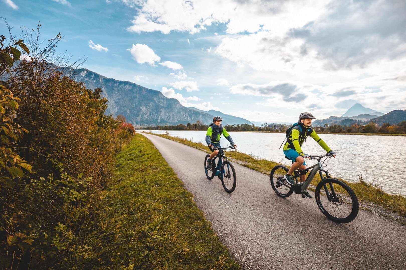
From Rosenheim in Bavaria, proceed to Tyrol, along the River Inn and the Wendelstein mountain. Numerous adventures await on the route from the fantastic market square in Neubeuern to the rack-and-pinion...
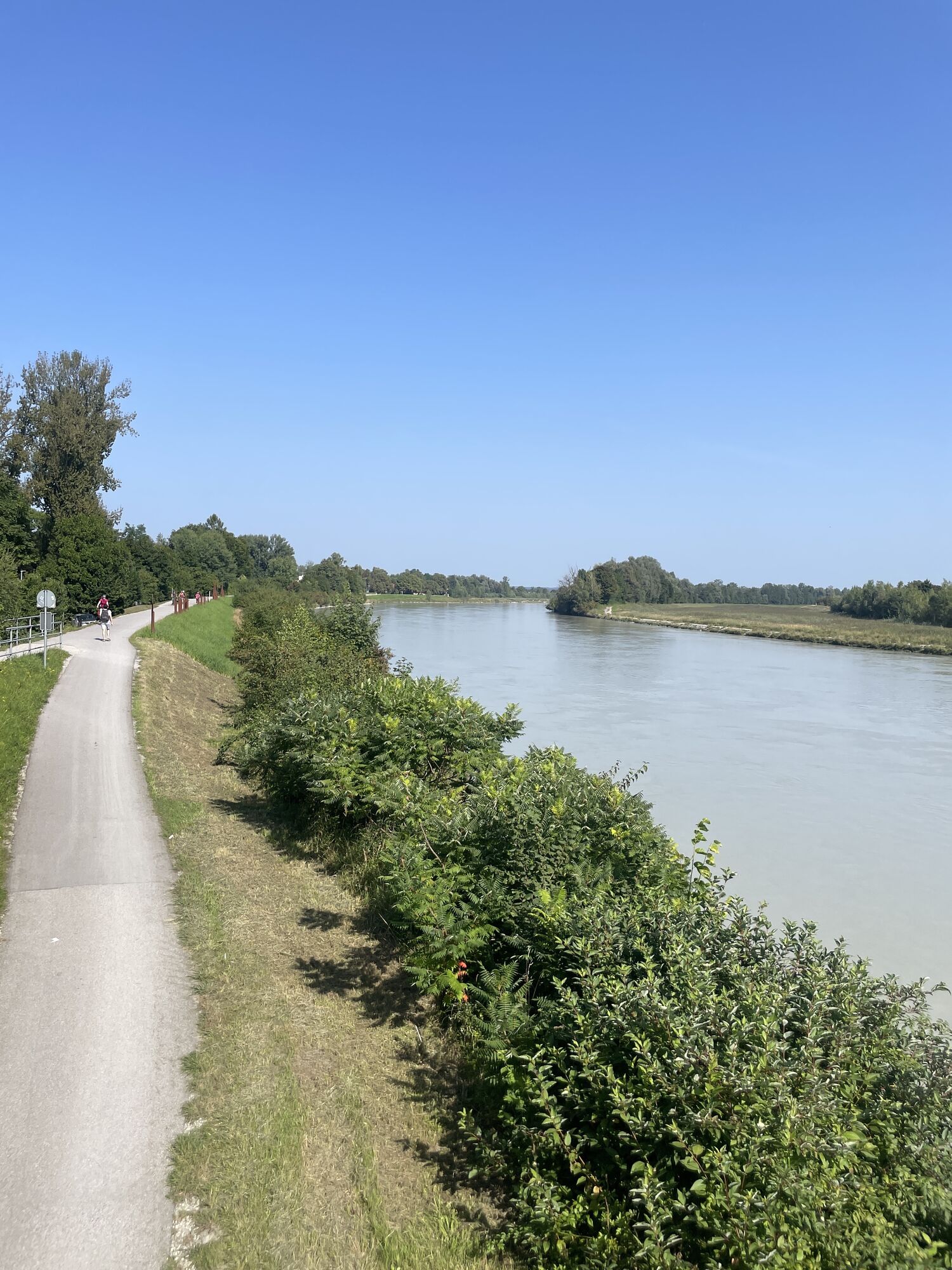
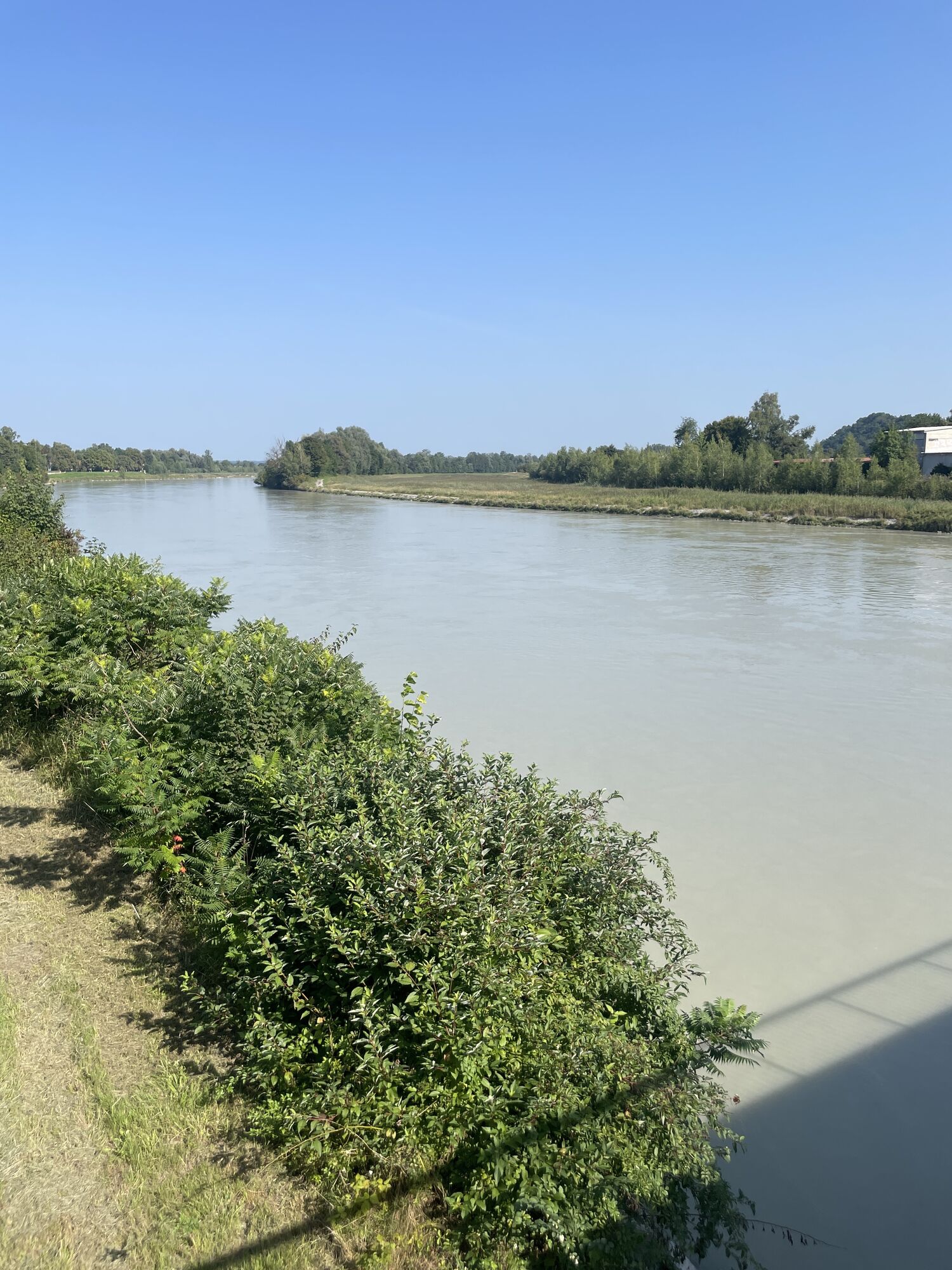
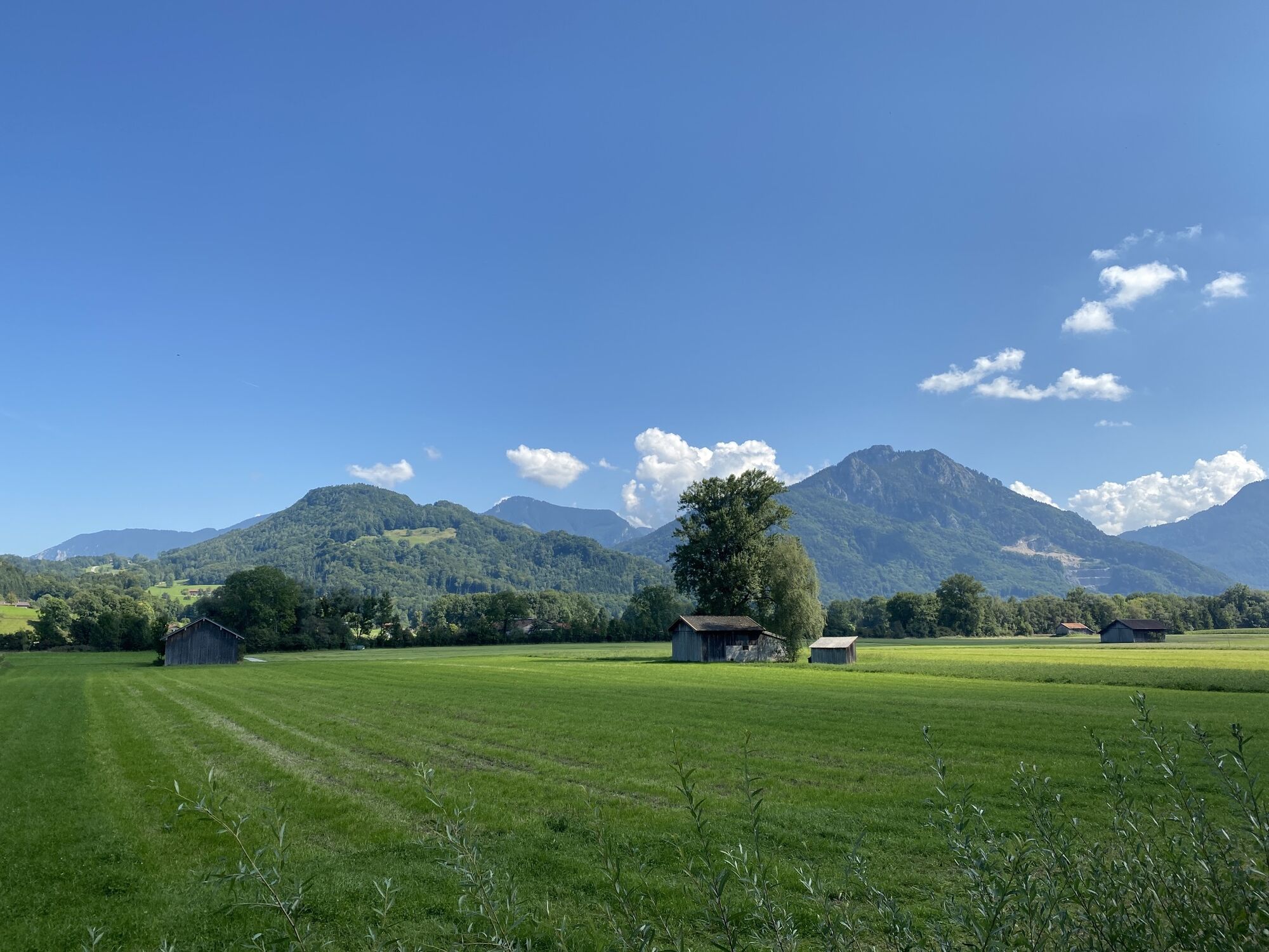
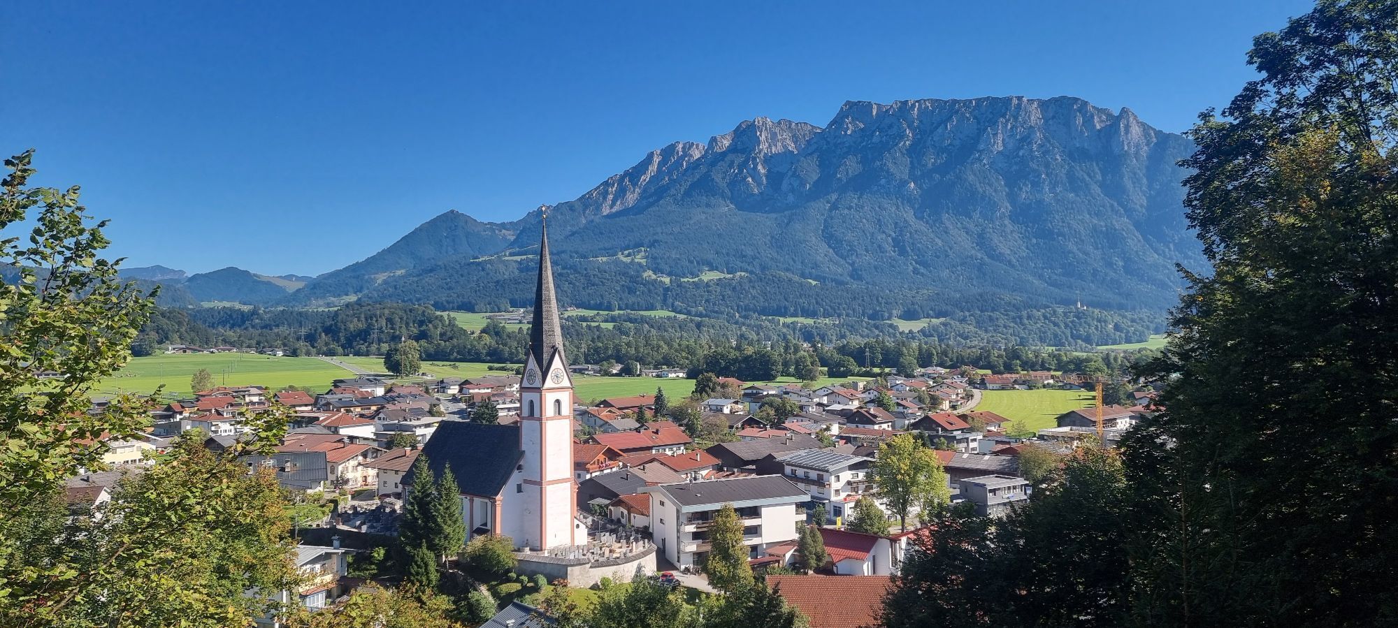
From Rosenheim in Bavaria, proceed to Tyrol, along the River Inn and the Wendelstein mountain. Numerous adventures await on the route from the fantastic market square in Neubeuern to the rack-and-pinion railway up the Wendelstein. The forest ropes course provides a bit of variety, as does the summer toboggan run in Oberaudorf. The finishing point of the stage is the 'Genuss' town of Niederndorf. One of the eight picturesque villages in Kufsteinerland. Known for its regional delights. An ideal finishing point, to enjoy a tasty treat after this cycle tour of some 30 kilometres.
Cycling helmet, comfortable cycling clothing, change of clothes, wind protection, cycling gloves, possibly rucksack with water bottle and food, first aid equipment, possibly service/repair kit, cycling map, tour description and information material (GPX track), ID card, insurance card, cash
Beliebte Touren in der Nähe
- 5,0
Priener Hütte
mittelWanderung 7,99 km - 4,8
Wendelstein
mittelWanderung 11,2 km - 4,6
Geigelstein
mittelWanderung 14,5 km - 5,0
Breitenstein
mittelWanderung 8,64 km - 4,5
Wanderung: Spitzstein und Altkaseralm von Sachrang
mittelWanderung 4,03 km - 4,5
Samerberg - Hochries
mittelWanderung 8,97 km - 4,6
Wildalpjoch und Käserwand
mittelWanderung 7 km - 4,0
Tregler-Alm-Runde Bad Feilnbach, Bayern
mittelWanderung 6,17 km - 4,9
Kleiner und großer traithen von rosengasse
mittelWanderung 9,84 km - 4,3
Osterhofen- Wendelstein
Wanderung 13,9 km

Wandern & Tracking


Verpasse keine Angebote und Inspirationen für deinen nächsten Urlaub
Deine E-Mail-Adresse wurde in den Verteiler eingetragen.